
Documentation
Concerned about having documentation that covers the methodological needs of an open-source geomatics project, a detailed state-of-the-art review, or a concise article on a specific aspect of the field?
Looking for a partner who, in addition to organizing a project to create or promote geographic data or a capacity-building activity, will also be able to document it?
Interested in contributing to the development of shared documentation covering the technical, organizational, and governance aspects of open geomatics and open data?
For nearly ten years, LLg has been producing a variety of documentary materials covering all aspects of open-source geomatics. Using text, images, videos, social media, and maps, LLg documents the challenges of the field and the learning of methods and tools in this technical domain. This documentary output also includes feedback from field experience and materials on the organizational and ethical aspects related to the implementation of activities rooted in free geomatics.
Part of this documentation, fully licensed under the CC-BY-SA open license, is compiled into guides and shared resources designed to equip collectives wishing to engage in open geomatics on a voluntary and/or professional basis.
Documentation covering the entire field of open-source geomatics
- State-of-the-art reports, guides, tutorials, methodologies, and technical checklists covering all issues and aspects of the geographic data lifecycle
- All types of organizational documents dedicated to the implementation of open geomatics projects by collectives (report templates, protocols, strategies, activities, bylaws, evaluations, expense tracking, accounting, etc.)
- Field experiences (conferences, thematic days, training workshops, territorial mapping…)
Documentary production across various formats, media, and platforms
- Text, images, GIFs, videos, static and dynamic maps
- In the form of guides, wiki pages, blog posts, pads, Mastodon threads, geostories, Moodle courses…
- On standalone platforms or existing platforms, for online or offline use
An approach to open-source technical documentation aimed at building the commons
- Licensed by default under CC-BY-SA for attribution and sharing under the same terms
- A cumulative modular approach allowing for the brick-by-brick construction of commons, with the integration of external materials under compatible licenses
- In French by default, but with the possibility of coordinating a multilingual version via existing platforms (such as Weblate) or alternatives using free software
Examples of implementations
Handbook of Open Geomatics and Open Data
This guide in French, consisting of more than twenty-five chapters and part of the Commons maintained by LLg, can be found here.
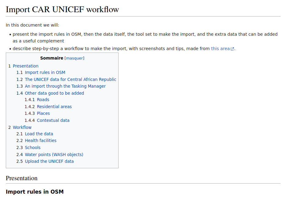
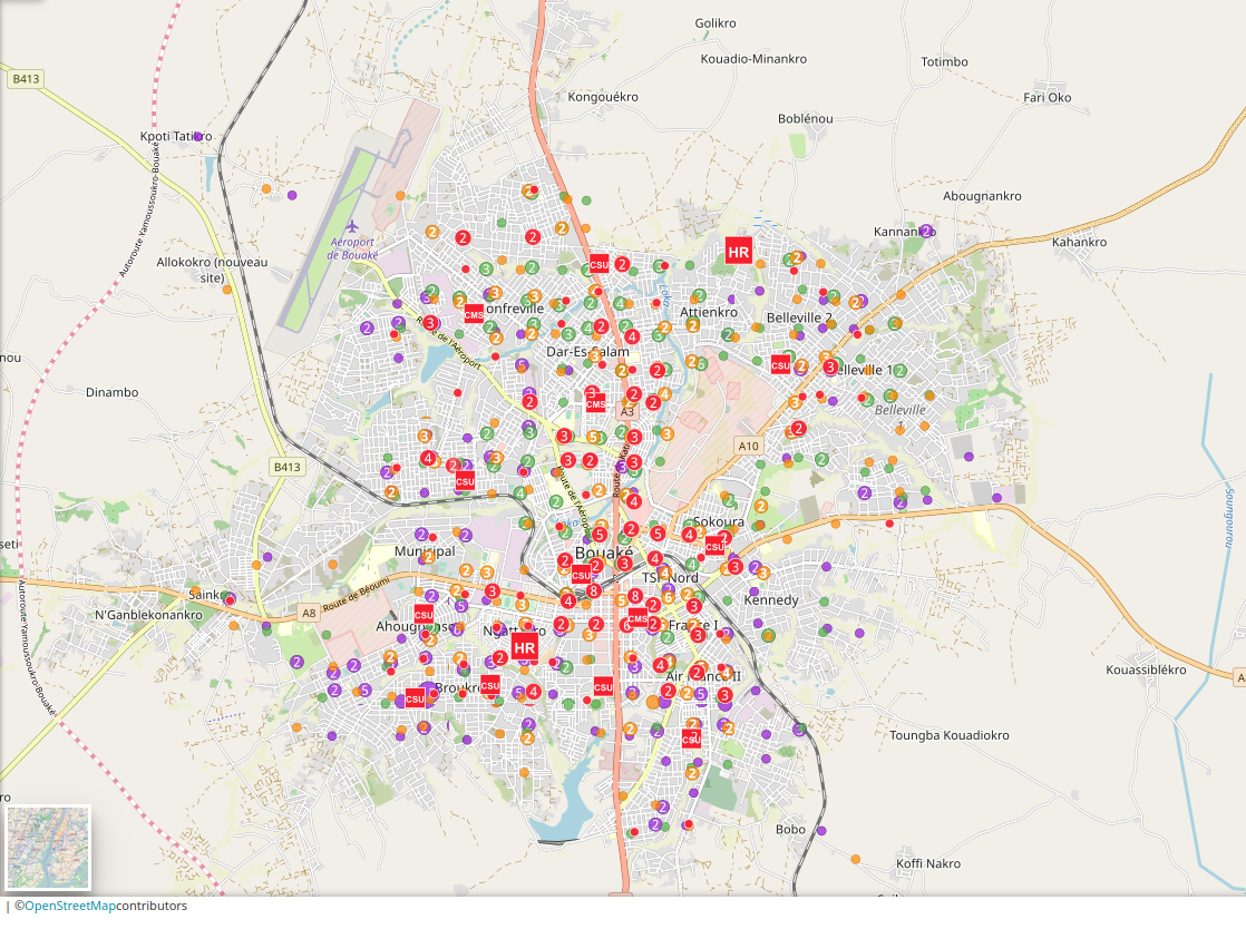
Workflow for Importing Data in the Central African Republic
As part of a personal volunteer initiative, a member of LLg developed a workflow for importing UNICEF data in the Central African Republic, which was documented and shared on an OSM wiki page. This methodology was subsequently adopted and adapted by other OSM contributors, enabling similar data imports to be carried out in Africa.

Minutes from the o4t Day at State of the Map Africa 2019
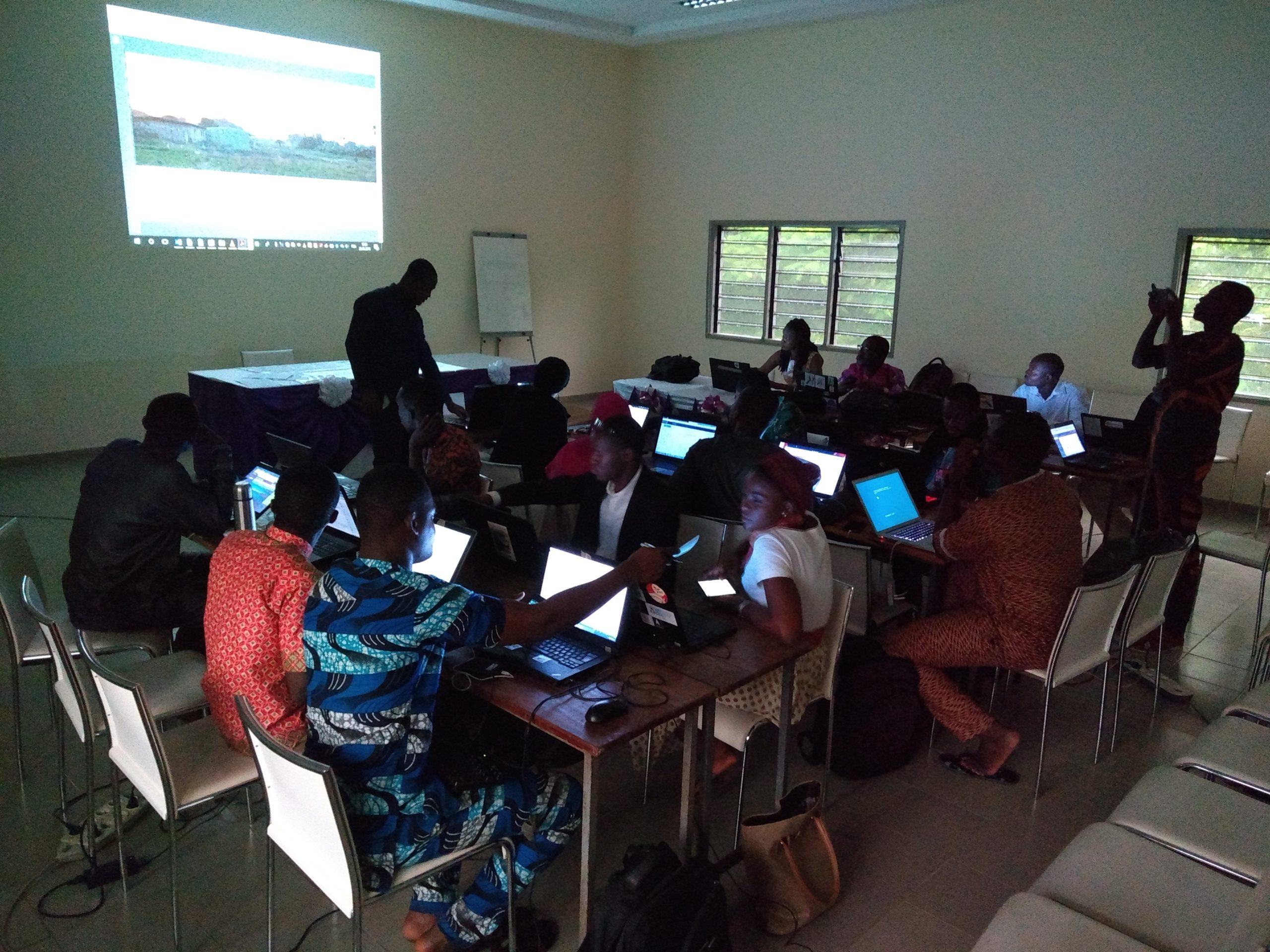
At the request of AFD’s Transport and Mobility Division, LLg organized a day of presentations and discussions on the theme “OpenStreetMap for transportation” during State of the Map Africa in Grand-Bassam in 2019. The event was documented in the form of a blog post, minutes, videos of the presentations, and a series of tweets compiled into a Twitter moment.
A collection of documents to support the efforts of emerging OSM collectives
The Guide of Organizational Commons is a set of generic documents that can be used to draft action protocols, technical and financial reports, technical proposals or activity descriptions, and accounting records, as well as to learn about economic practices and examples of existing structures in the OSM field, or to develop a strategy or digital communication plan.