Background: Hurricane Matthieu and the Effort to Involve Haitian OSM Communities in the Crisis Response
When Hurricane Matthew struck Haiti, we co-organized a remote crisis response from Bouaké to systematically improve the OpenStreetMap coverage of crisis-affected areas in the Grande Anse region by mapping the surroundings of temporary emergency shelters, certain affected coastal towns (pre-disaster conditions using Bing imagery and post-disaster conditions using drone imagery captured by Potentiel 3.0), and rural areas in the mountainous regions covering the rest of the Grand’Anse department, with a focus on data completeness and quality. At the same time, we collaborated with members of Haiti’s OSM communities – whom we have trained in OSM and supported in their project activities since 2010 – and who naturally wanted to get involved in this crisis response. They were able to participate in the collaborative tasks created on taches.francophonelibre.org, as well as create their own tasks as needed. At the end of this OSM mapping effort of the affected areas – carried out remotely from Port-au-Prince, Saint-Marc, and Limonade in the North-Northeast, as well as from Bouaké, Abidjan, and West Africa – some Haitian OSM mappers expressed regret that they could not take more direct action on the ground, due to a lack of resources and experience in humanitarian crisis contexts.
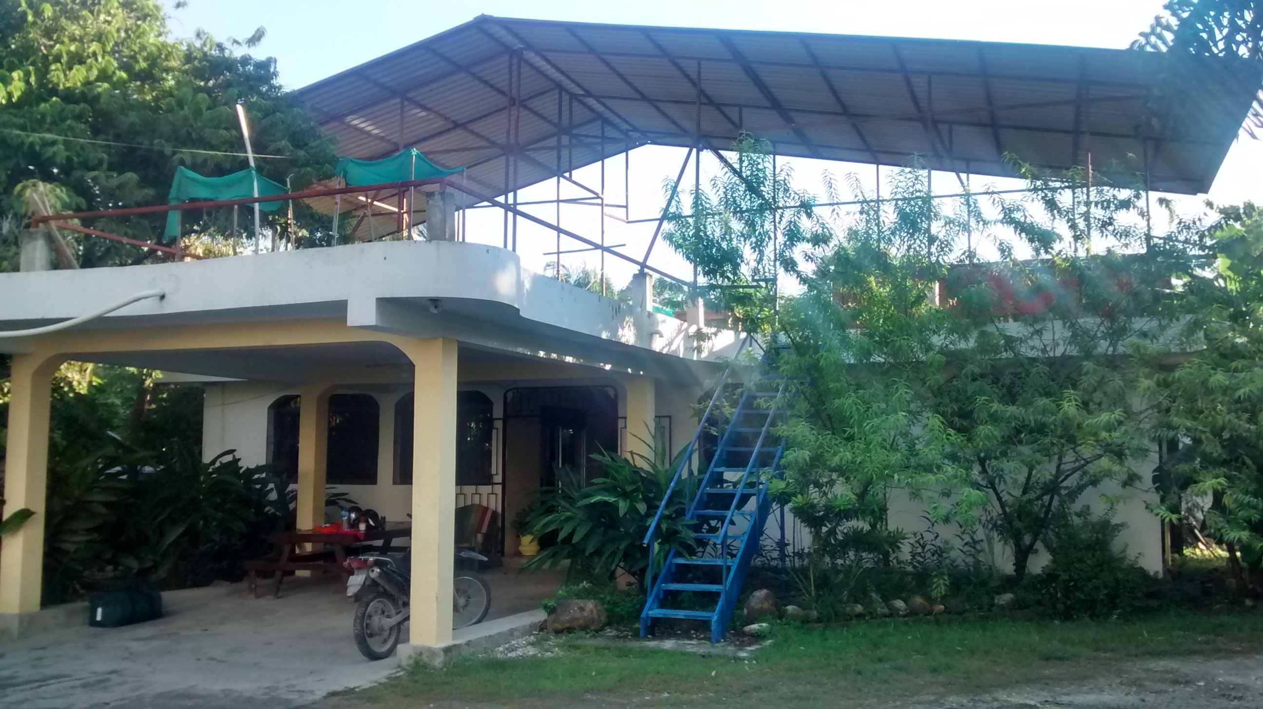
Based on this observation, we developed the idea of a volunteer initiative to train these communities in crisis response, which could be followed by a deployment to affected areas – provided that a humanitarian organization is interested in producing open data in the field and integrates the OSM team into its operations, so that this pilot initiative can take place safely. The prospective partners – the Directorate of Economic and Digital Francophonie (DFEN) of the International Organization of La Francophonie (OIF) for funding, and the association Haiti Communitere (HC) for institutional support – enthusiastically welcomed this proposed three-week volunteer deployment, which is the time available until the SysInfoLibre event in Abidjan – designed in collaboration with the OIF to take place from November 11 to 20. Thanks to their effective support, immediately after the training session in Bouaké, which ended on October 21, I was able to be in France on Saturday, the 22nd, pick up the equipment needed for the mission (some electronic devices and camping gear), and leave the next morning for Haiti, where I arrived that evening after a layover in Atlanta. Although Nicolas and I have been carrying out training and capacity-building projects in Haiti continuously since 2010, it had been three years since I had last visited Hispaniola, as the initiatives over the past two years had been carried out at Haiti Communitere thanks to support from the OIF provided by Xavier Lamure Tardieu, Delphine Bedu, Robillard Louino, and Pierre Béland as part of small-scale initiatives to strengthen technical and organizational capacity related to OpenStreetMap, open-source GIS, and open data projects. It is precisely at Haiti Communitere that my stay will begin.
Meeting with OSM stakeholders and partners and with humanitarian workers in Port-au-Prince
As planned before my departure, the first four days were devoted to meetings in Port-au-Prince with OSM stakeholders and partners, as well as humanitarian organizations – some of which I had already contacted before leaving. I was thus able to speak with Xavier and Robillard about OSM in Port-au-Prince; with Fred, who was preparing to leave Haiti after his excellent – and exhausting – work filming with Potentiel 3.0’s drones; and with Sam Bloch and Creighton Holley from Haiti Communitere to discuss the next steps in our joint OSM work, which has been ongoing for several years; Jean-Marie Théodat, a geography professor at Paris 1 and the State University of Haiti and former rector of the University of Limonade, regarding the teaching of open-source geomatics in academia – a field Nicolas has been familiar with since 2010 and with whom the training team had developed a rapport in 2013. We contacted the OSM communities in Saint-Marc and the North–Northeast by phone to prepare for the visit and the training sessions scheduled to begin this coming weekend.
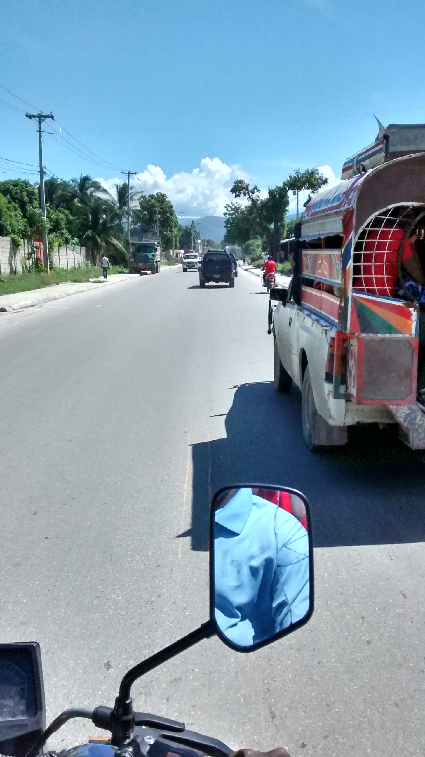
On the humanitarian front, the first meeting with the Information Management Officer (IMO) of the World Food Programme (WFP) immediately revealed a significant need for road accessibility data, which thus emerged as a particularly promising area of focus for field deployment and the possibility – still to be confirmed – of visiting the site through the WFP. In contrast, the meeting with counterparts from the WASH (water and sanitation) cluster showed that OSM would not, a priori, serve as the reference source for this emergency, since the data available from the mWater project – which is not freely available (as it is under a non-derivative CC license) but can be downloaded – is much more comprehensive as of late 2016. All in all, over the course of these four days, there was a lot of travel by motorcycle taxi.
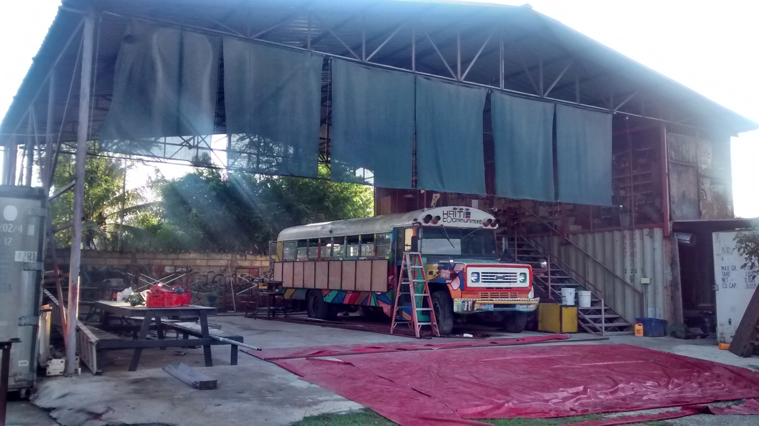
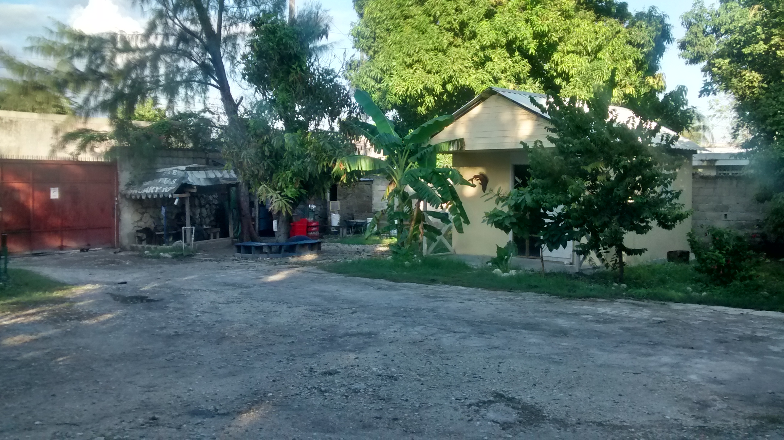
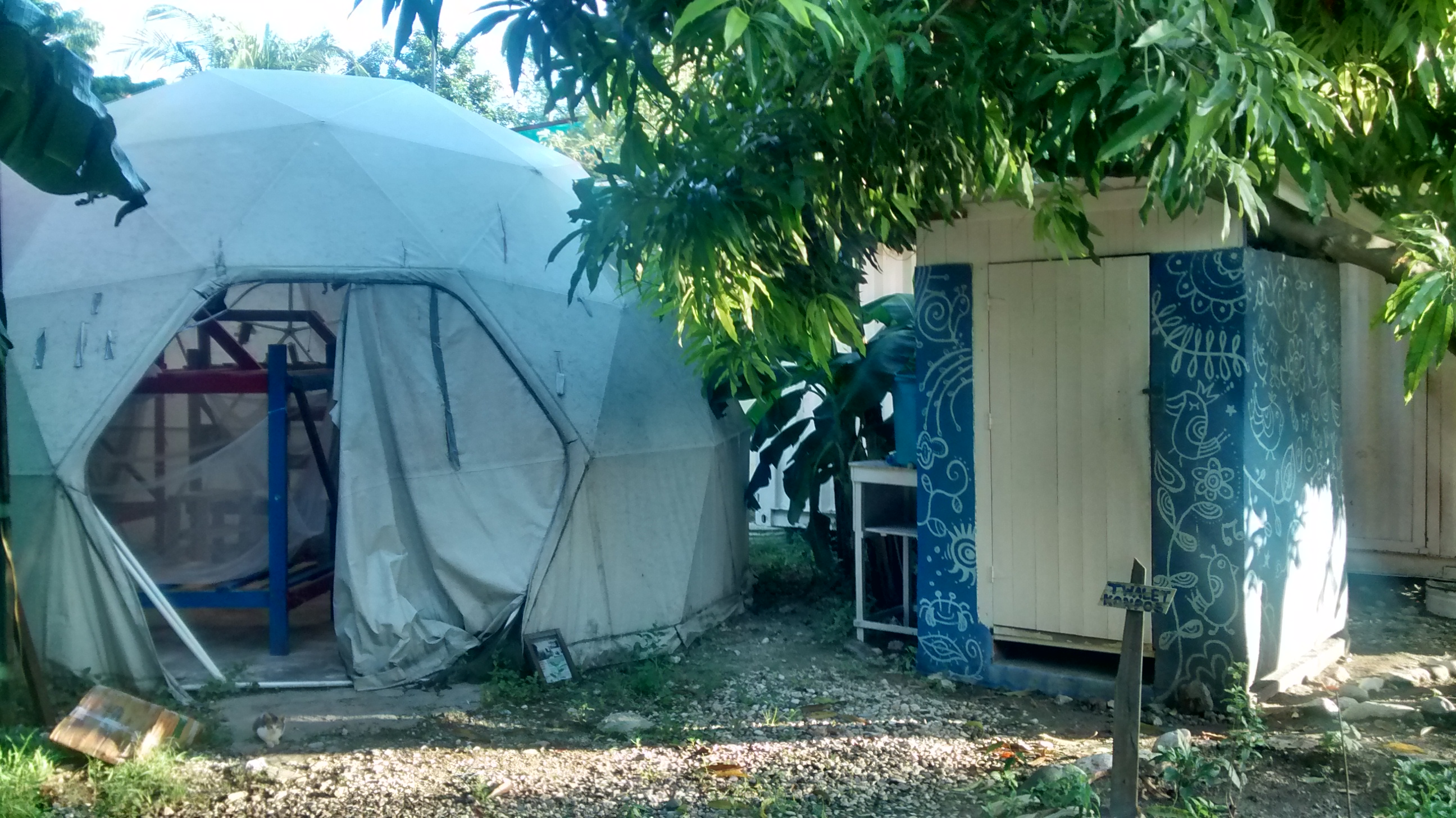
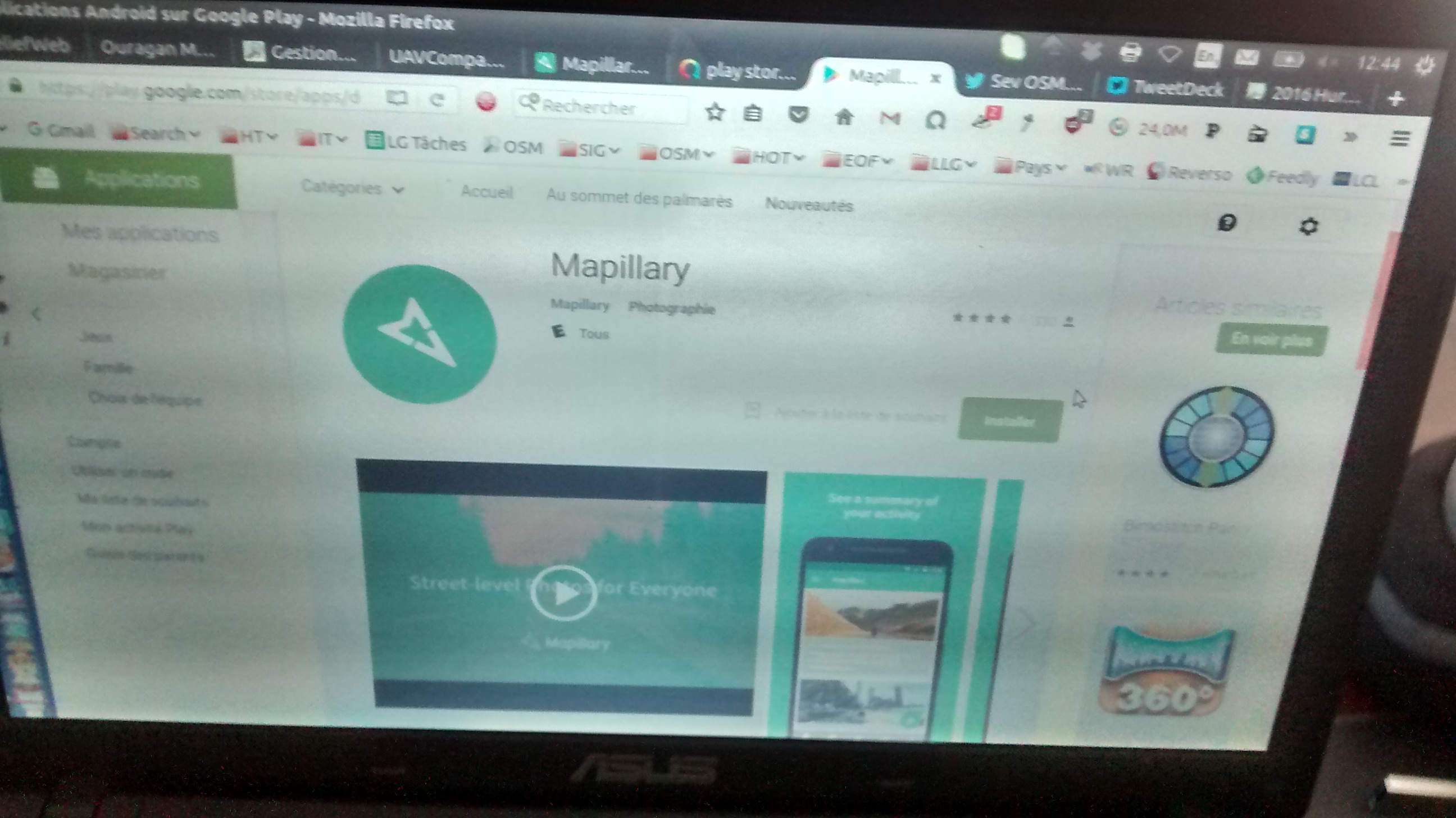
The rest of the days were spent setting up the ‘SIG_Haiti’ GIS file system in QGIS, evaluating the OSM equipment available in HC, and conducting 360-degree camera tests in collaboration with Mapillary support, to prepare for the trip to the north of the country and upcoming training sessions. On Friday afternoon, I left for Saint-Marc (in the Artibonite department) on a Sans Souci bus, where I was greeted at Place Guerrier by Wedens from the Saint-Marc community (COSMHA-STM), who kindly offered to host me during my stay.
Visits and Training Sessions for the OSM Communities of Saint-Marc and Nord–Nord-Est
The visits to these two communities had several objectives:
- to reconnect, discuss, and take stock with the communities after their 3 or 4 years of experience, identify the problems encountered, and try to resolve them
- to provide these mappers with two days of training on the latest OpenStreetMap techniques, including crisis response methods – particularly road assessment – and to learn how to organize (through hands-on practice) a mapathon in crisis zones
- Identify individuals who, given their involvement in OpenStreetMap editing and the training provided, could support a potential deployment on the ground in crisis zones.
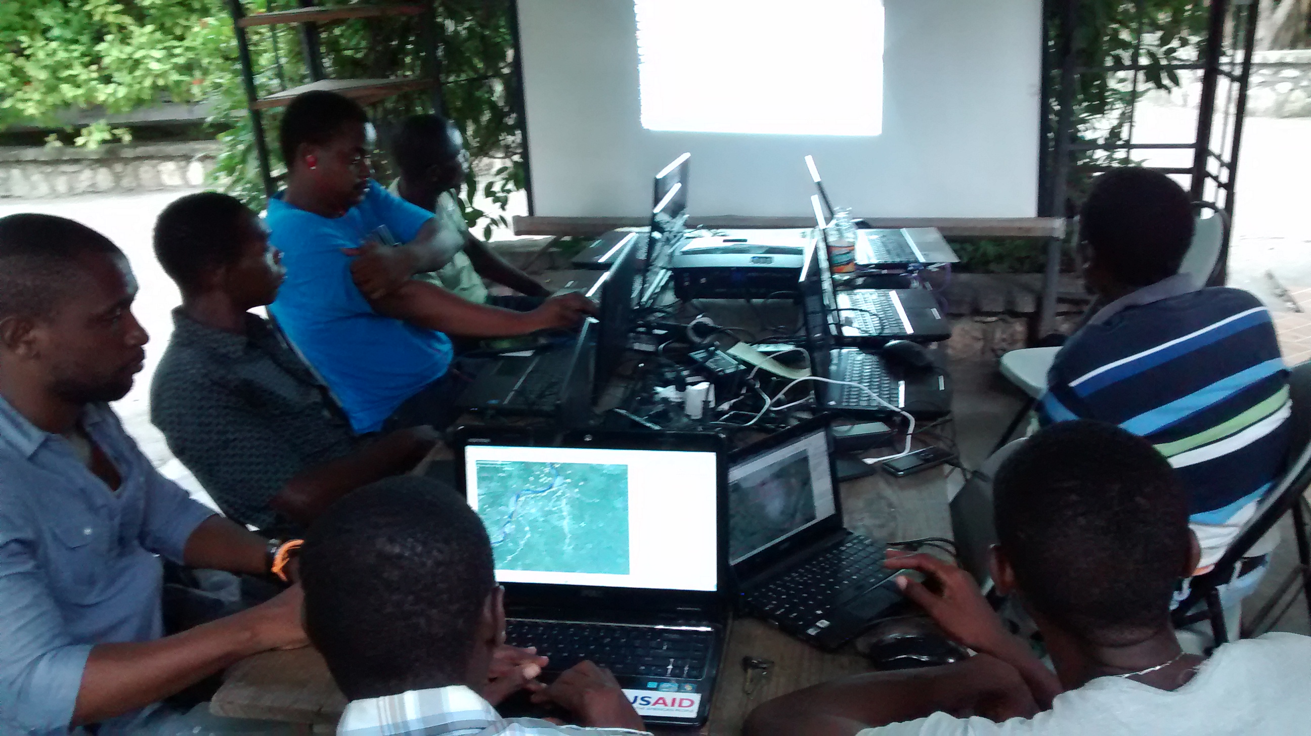
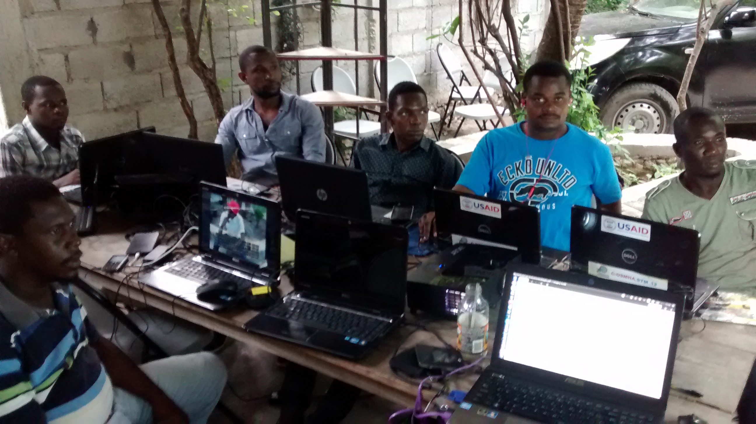
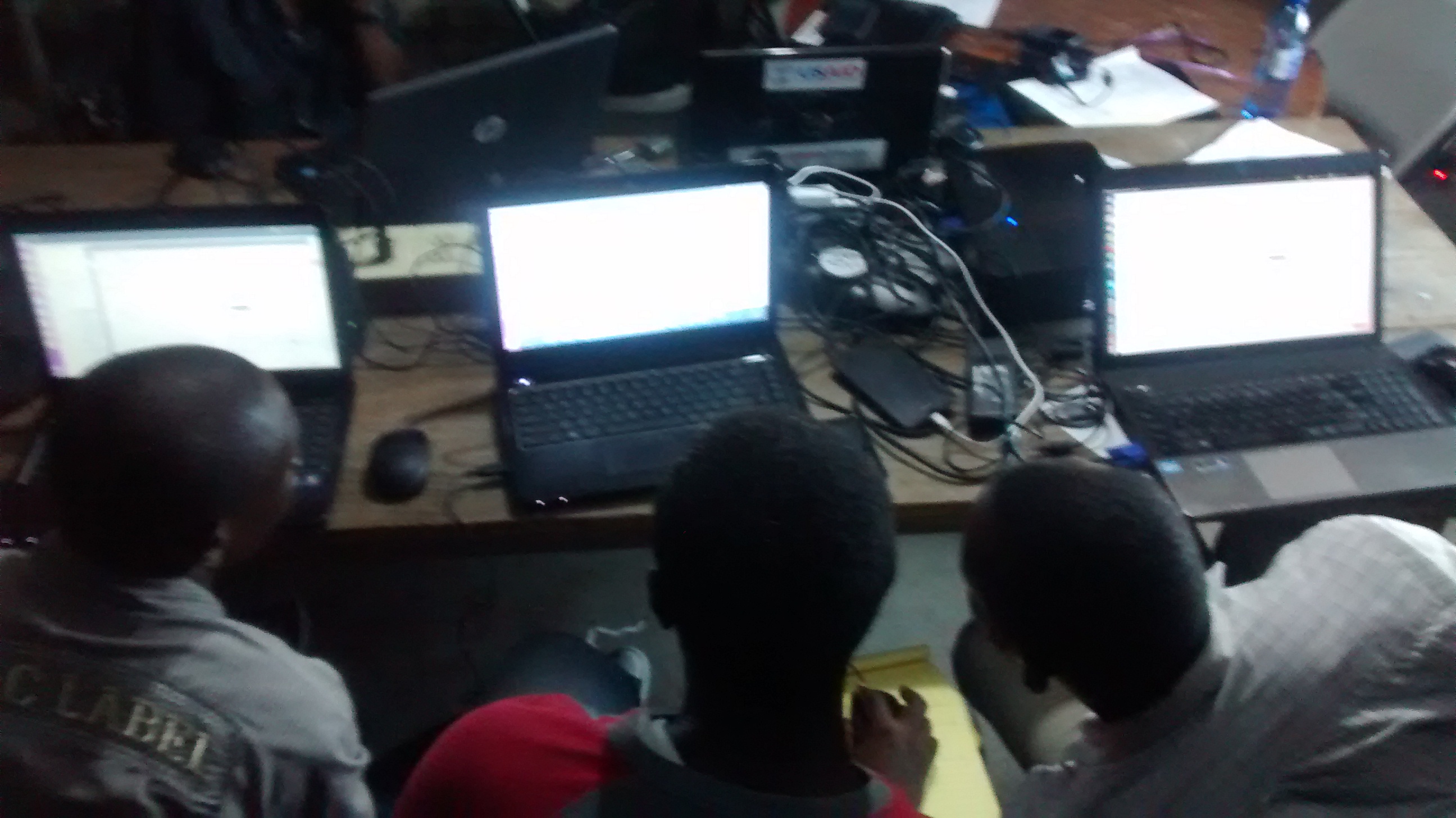
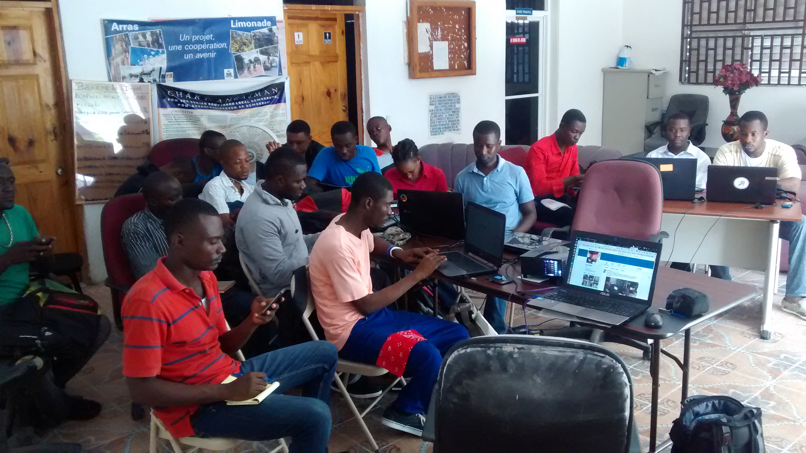
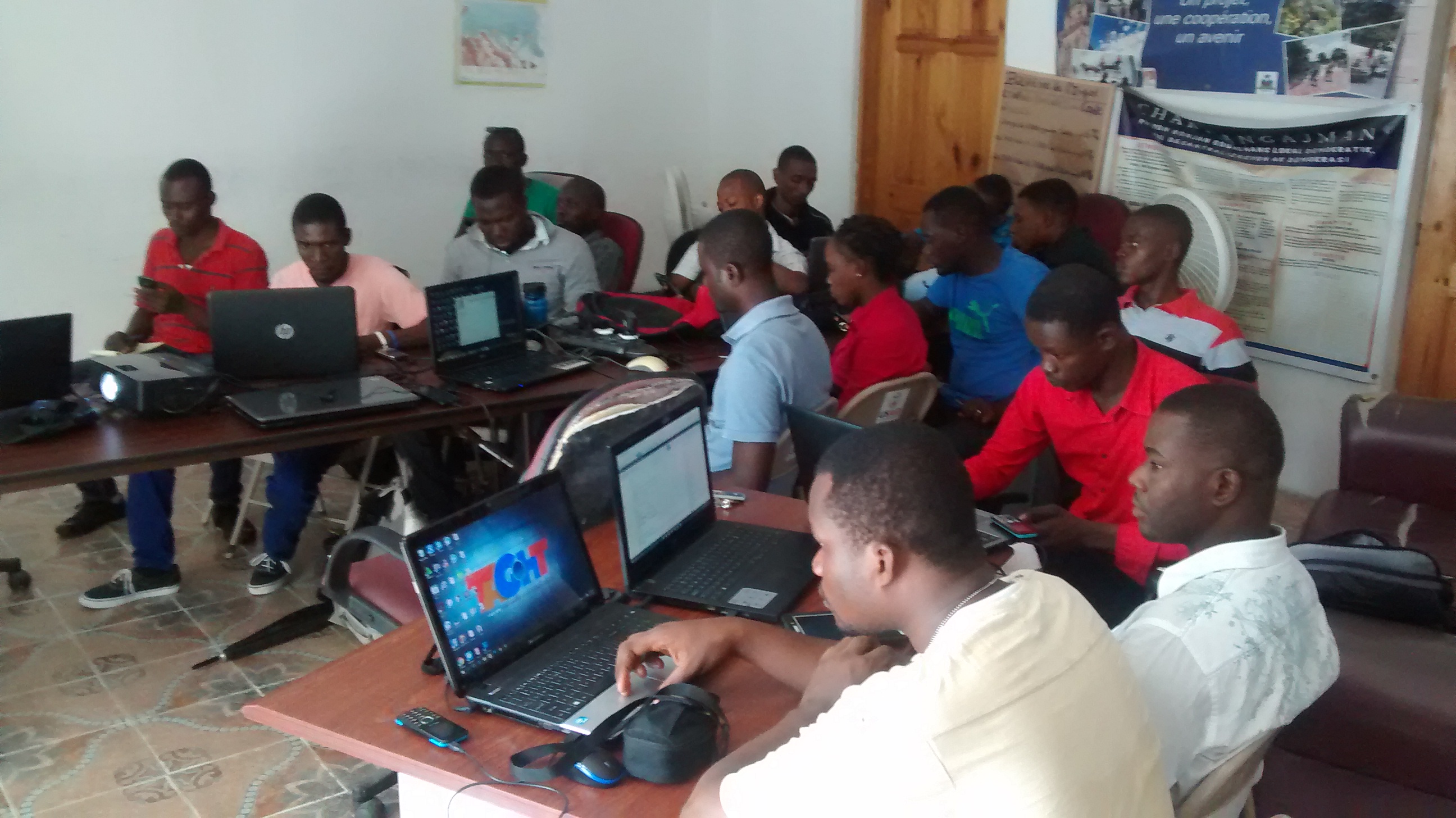
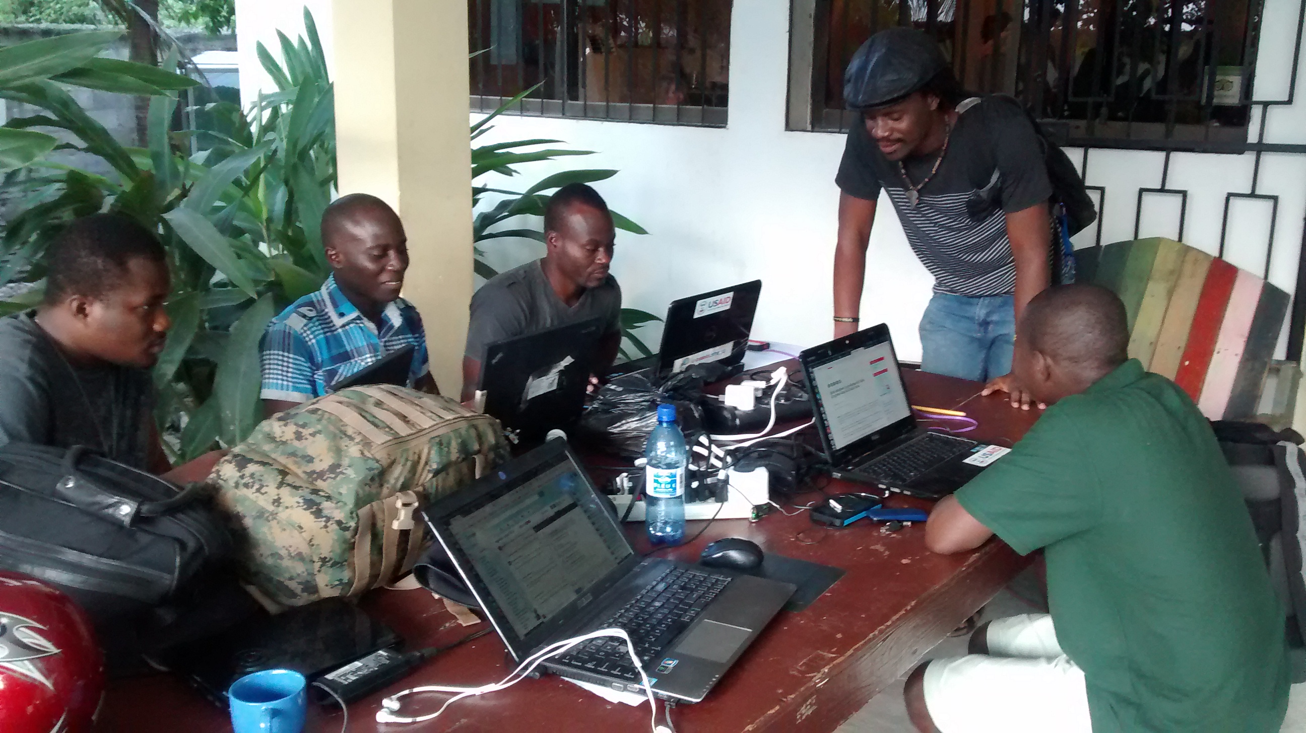
In Saint-Marc, the two-day event took place at Le Troquet, a venue that had historically served as the workspace during the city’s mapping project in 2012 and has remained so to this day. The COSMHA-STM association, founded in 2012, remains active and continues to carefully manage the equipment received from USAID, consisting of about ten computers and Hcx GPS devices. Among the challenges encountered, the most obvious is the lack of accessible internet connectivity, which limits volunteer mapping efforts. A MIFI device, along with a subscription providing 7 GB of data per month for 6 months, was donated on behalf of the collective Les Libres Géographes (LLG).
This weekend’s training focused on collecting humanitarian data to guide crisis mapping efforts, methods for effectively and rigorously mapping rural areas, the Harvard Humanitarian Initiative’s BAR method for damage assessment – which was used extensively with drone imagery from Potentiel 3.0 during the remote mapping phase – the method for assessing the logistical capacity of the road network (Logistic Capacity Assessment – LCA), which is based on the UNSDI-T model, an introduction to Mapillary, as well as a short training session on QGIS, based on the “Guide to Free Geomatics and Open Data” and focused on creating base maps using the QGIS styles developed last year and available in the Libres Géographes GIS kit.
Finally, throughout these two days, participants were made aware of the need to use social media effectively – particularly Twitter – to communicate about each of the community’s activities. Real progress was made, as evidenced by the activity of Wedens.
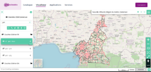
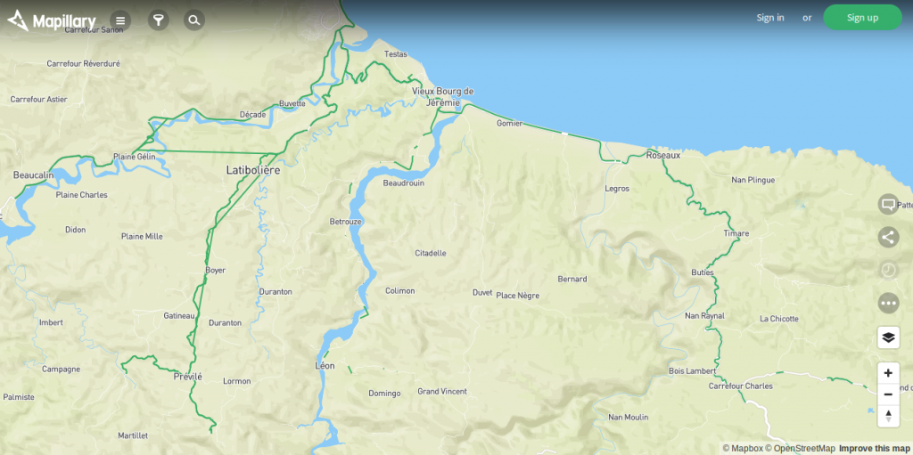
On Monday, before setting out for Limonade (in the Nord-Nord-Est department) to resume the same training program, an impromptu visit to city hall was arranged to support the association’s request for a meeting space. The administrator – apparently a long-time supporter of community activities – and a deputy mayor received the delegation and took the request into consideration. After a van ride to Gonaïves, the tap-tap trip to Cap-Haïtien provided an opportunity to conduct a Logistics Capacity Assessment using OSMTracker, which was then edited over the following evenings, allowing us to identify potential editing issues with existing road relationships. The final result is this: http://overpass-turbo.eu/s/kbb. Upon arriving in Limonade, I was once again kindly hosted by a local resident, this time by Wendy.
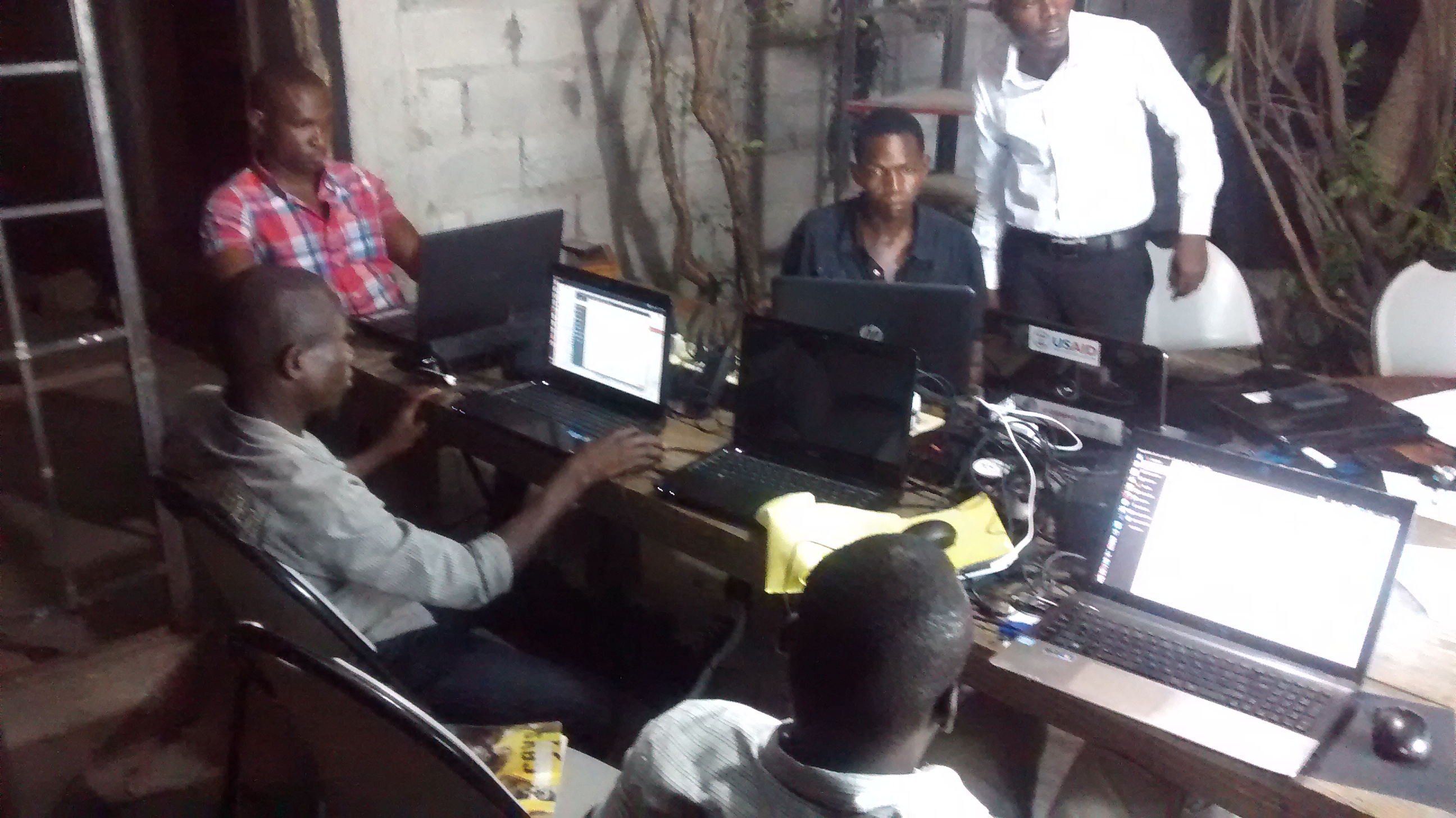
The two-day training session ultimately could not take place at Limonade University because, as it turned out, no administrative staff were on hand during the holidays, so we fell back on the Limonade City Hall – where Walky works – which unexpectedly welcomed the twenty or so participants from the COSMHANNE association. The same training program as in Saint-Marc was delivered, with a bit more hands-on fieldwork due to the limited number of computers available, since the association does not have its own equipment. 360-degree Mapillary photos were taken of the pretty square in front of City Hall.
In addition to the lack of computer equipment, both COSMHANNE and COSMHA-STM face the same issue of no internet connection; the association was provided with the same MIFI device, along with the same amount of funds to purchase data for the next six months. Here, as in Saint-Marc, communities must now come together to gather data and organize internal training sessions based on the materials in the Guide to Open Geomatics and Open Data, particularly the chapters related to QGIS.
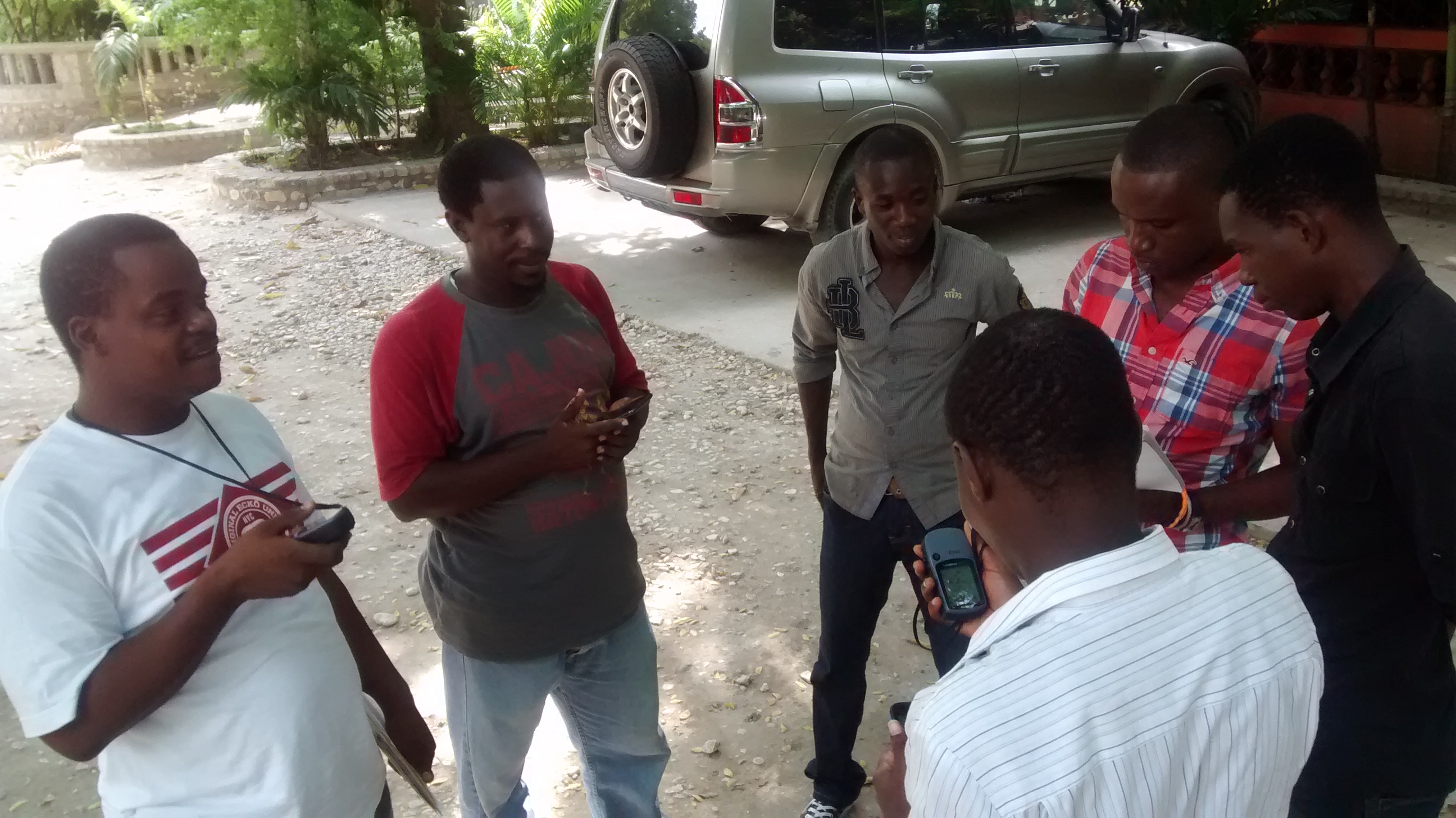
While in regular contact with the WFP during these training days, the idea of hosting a team to conduct Logistics Capacity Assessments gained traction, and we will ultimately be staying at their base camp in Jérémie. Time is running out, since my departure is already set for Friday, November 11 – next week. On Thursday, November 3, the day after the training in Limonade ends, we’ll head to Port-au-Prince: I’ll take the bus with Wendy and John Carlo, while Wedens and Débreus will leave Saint-Marc so that we can all meet up at Haiti Communitere that evening. Xavier will be joining us to form a team of six people representing the various Haitian OSM communities. The selection of team members was based on their demonstrated OSM activity over the past years and months (a necessary requirement for anyone seeking professional work with an international organization), their involvement in the local OSM community, and their attendance at the training sessions held over the past six days. Friday is set aside for preparation (loading OSM maps onto Garmin eTrex devices, printing questionnaires, etc.) and will be an opportunity to meet up with Robillard.
Logistics Capacity Assessment for the WFP in the Jérémie Area
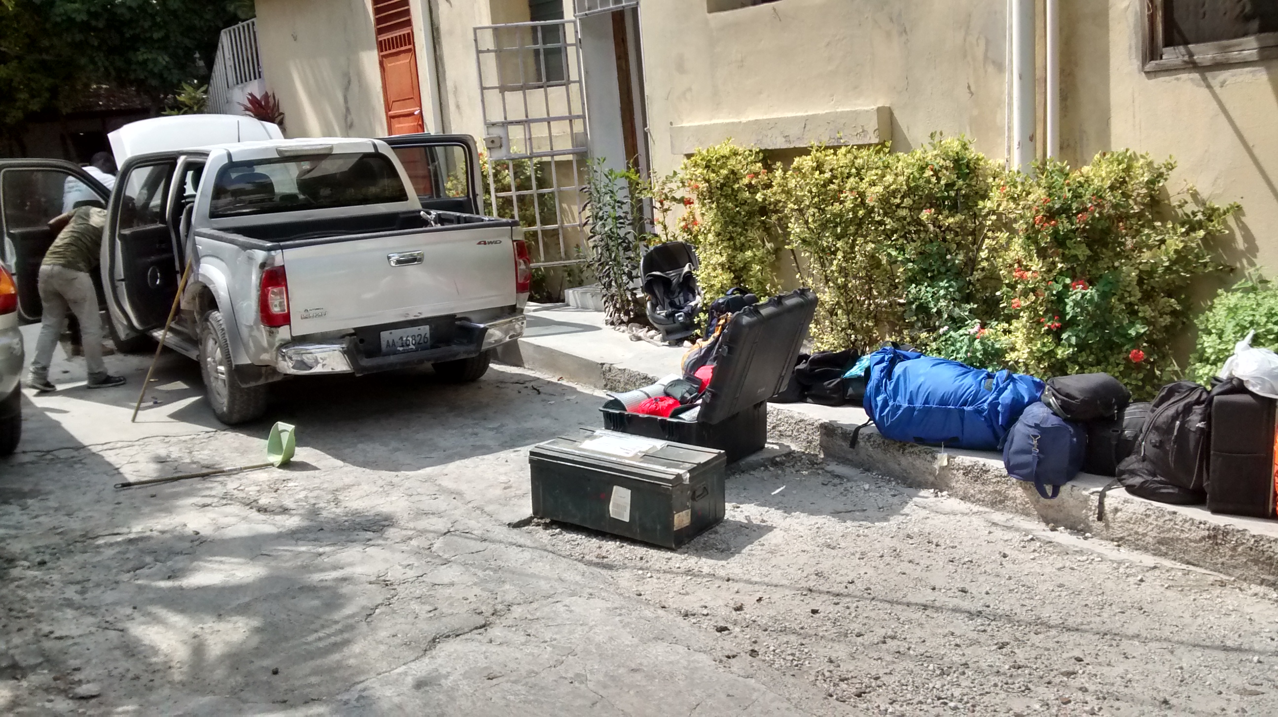
Since the helicopter trip was ultimately postponed, Xavier suggested on Saturday morning that we make the trip in his pickup truck. After buying a supply kit, we hit the road in the early afternoon and stopped for the night in Taino, near Grand-Goâve, at a house belonging to Xavier’s family.
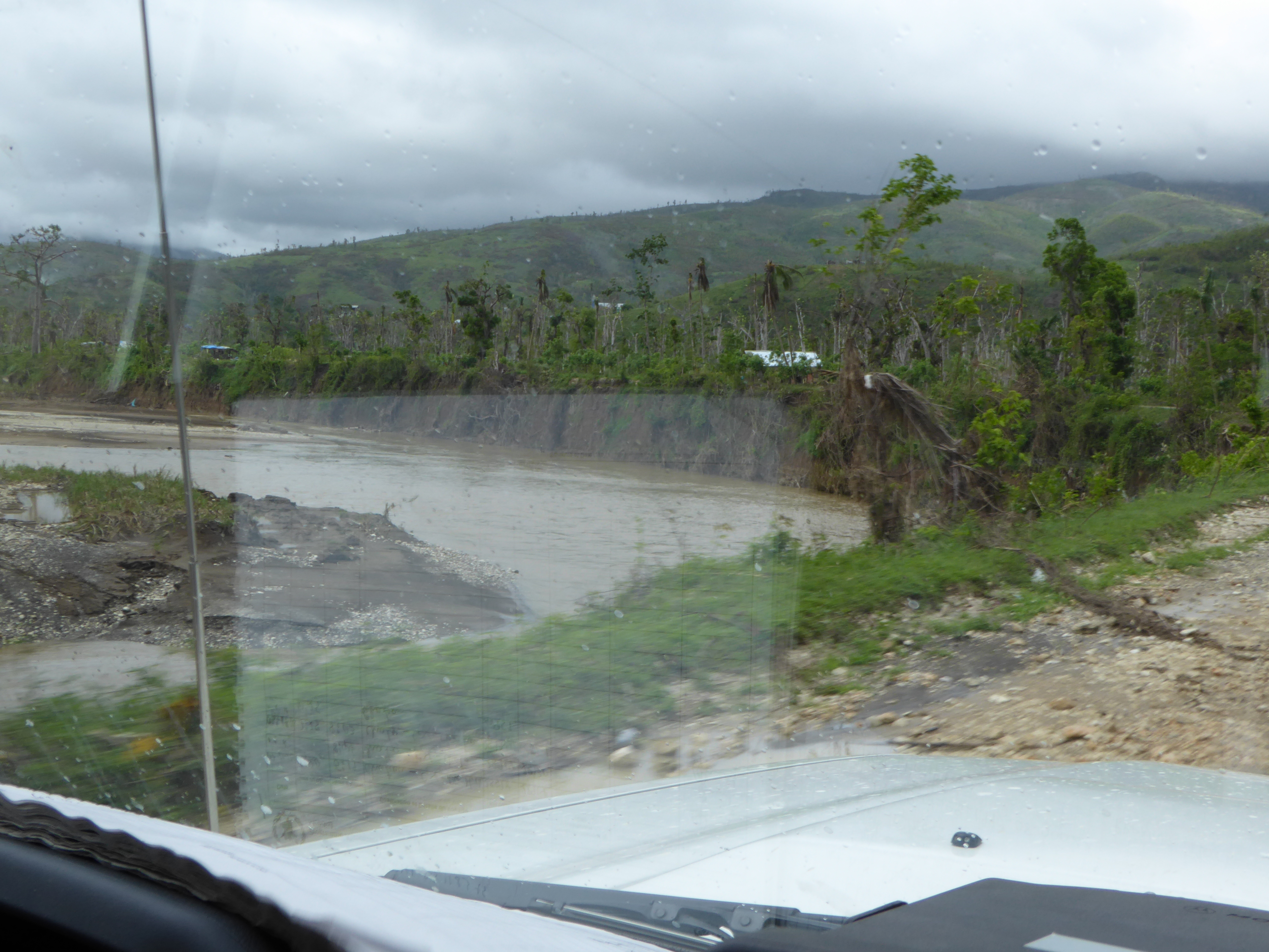
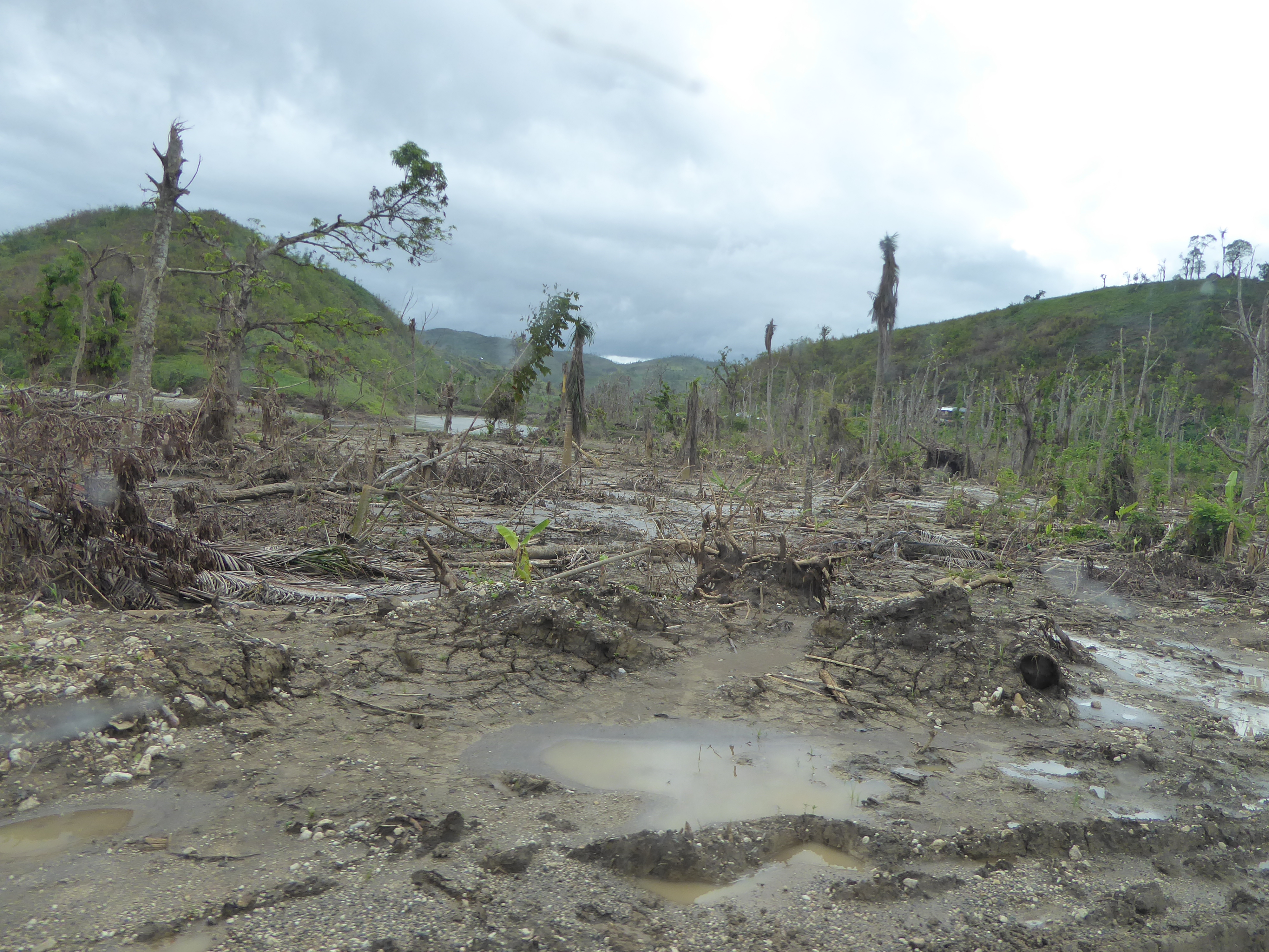
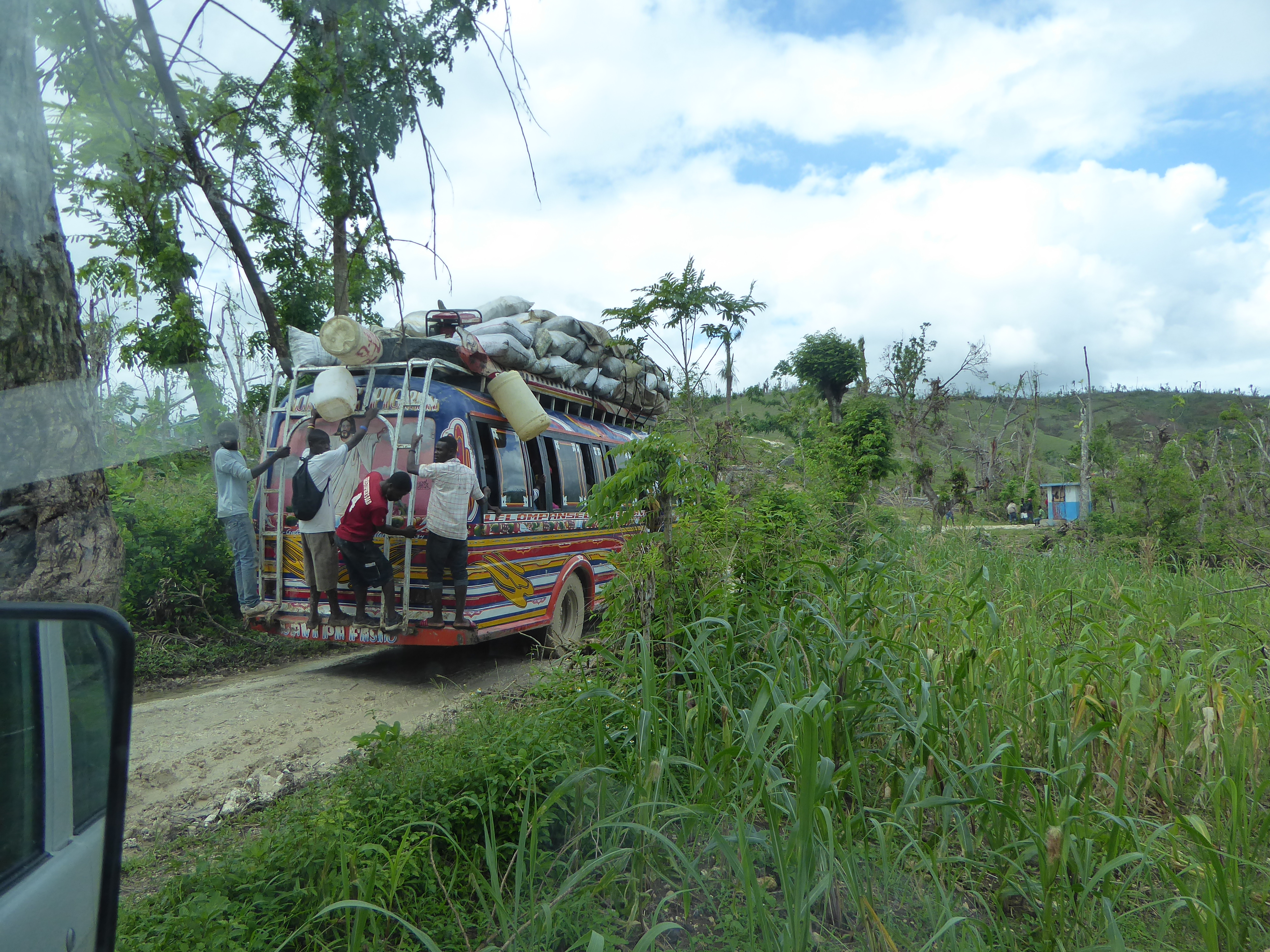
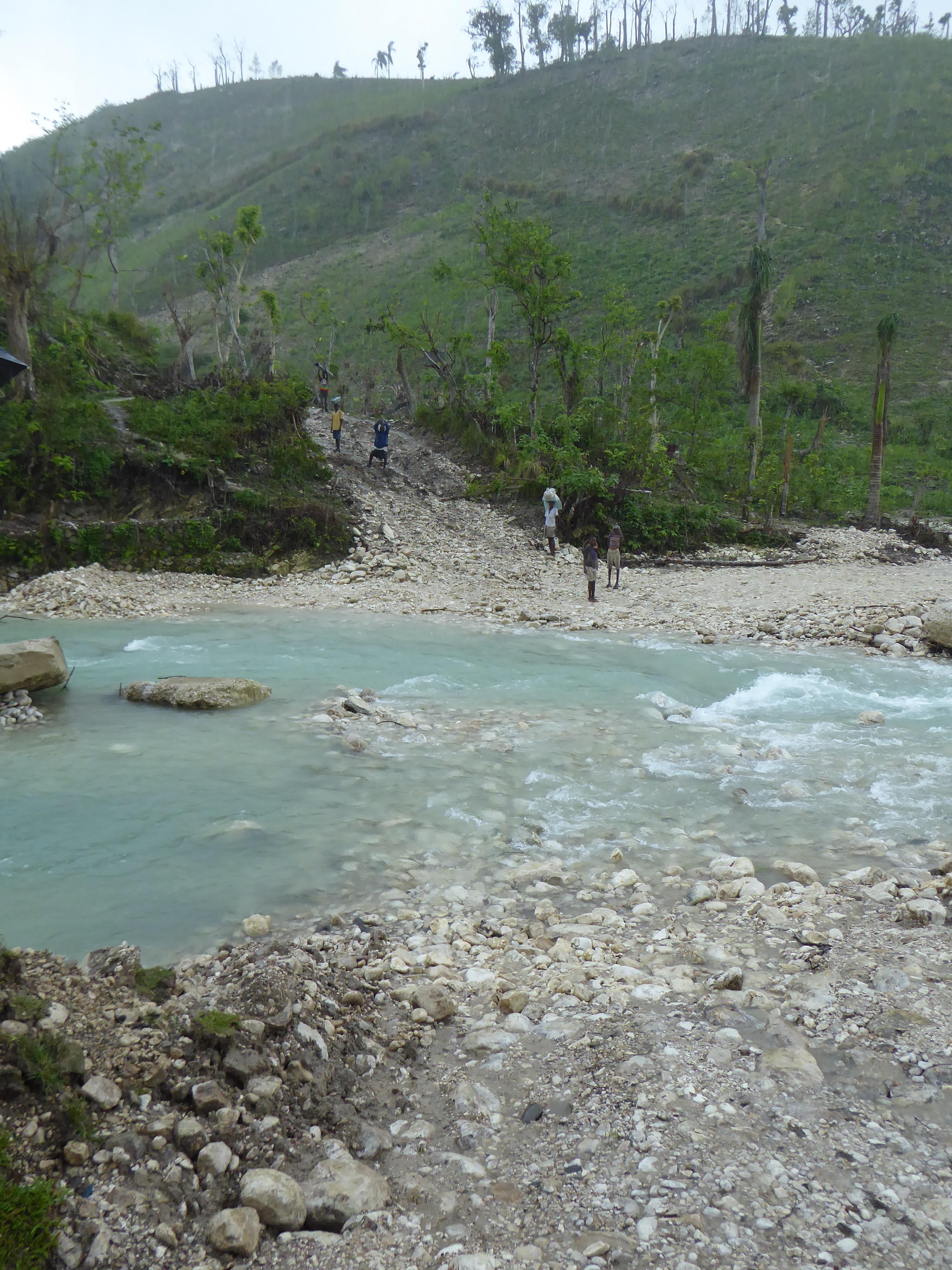
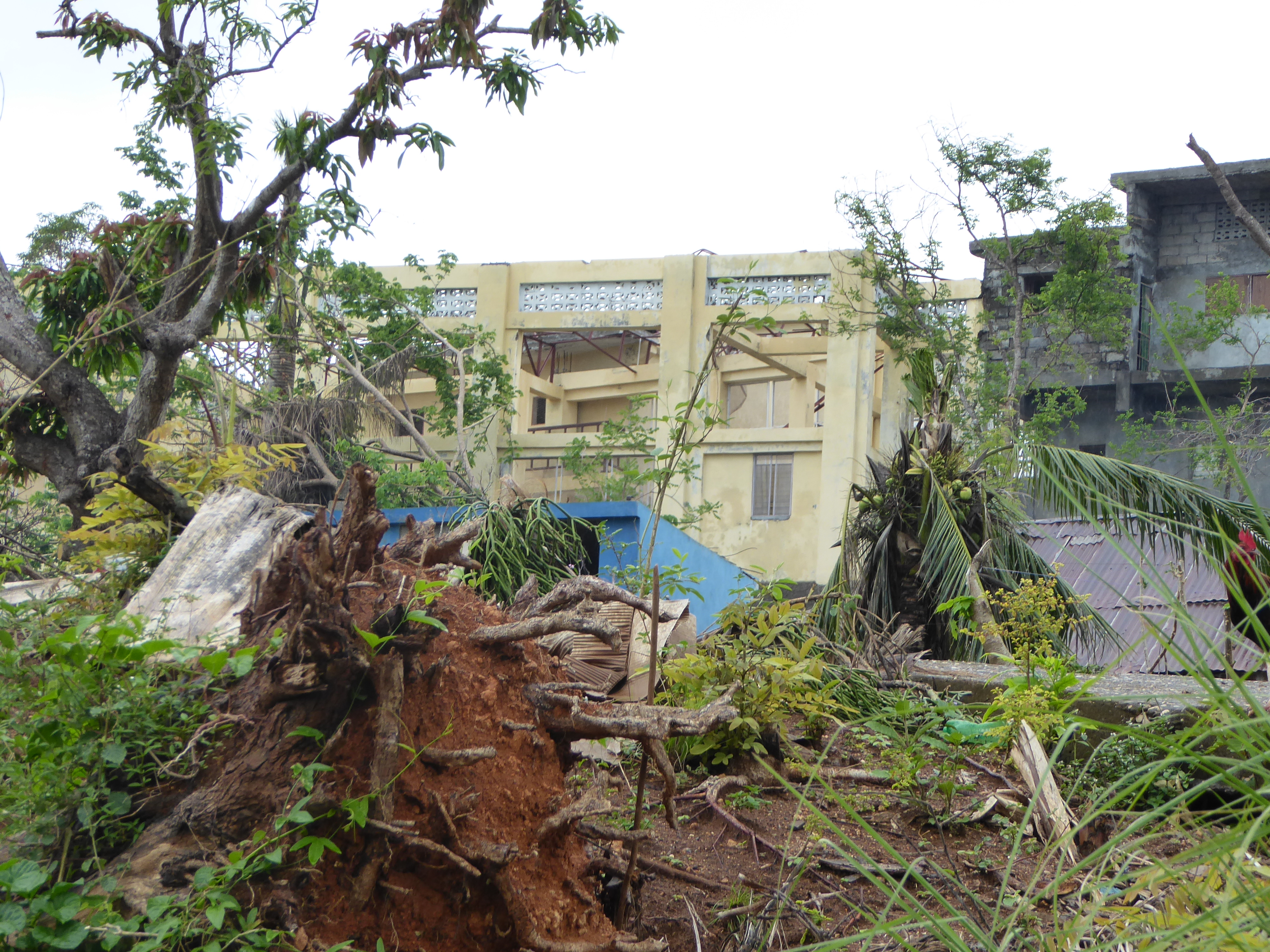
We set out the next day at dawn, arrived in Les Cayes in the morning, and then reached Jérémie in about three hours. As we made our way, the damage to property and vegetation became increasingly severe.
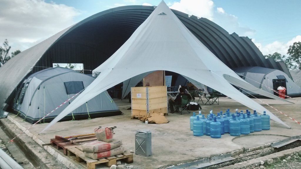
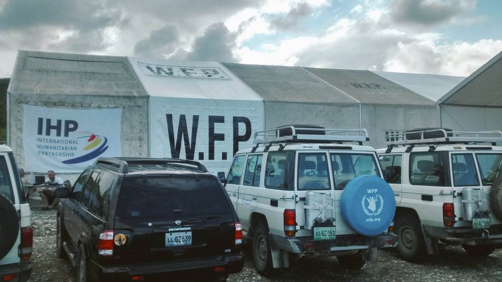
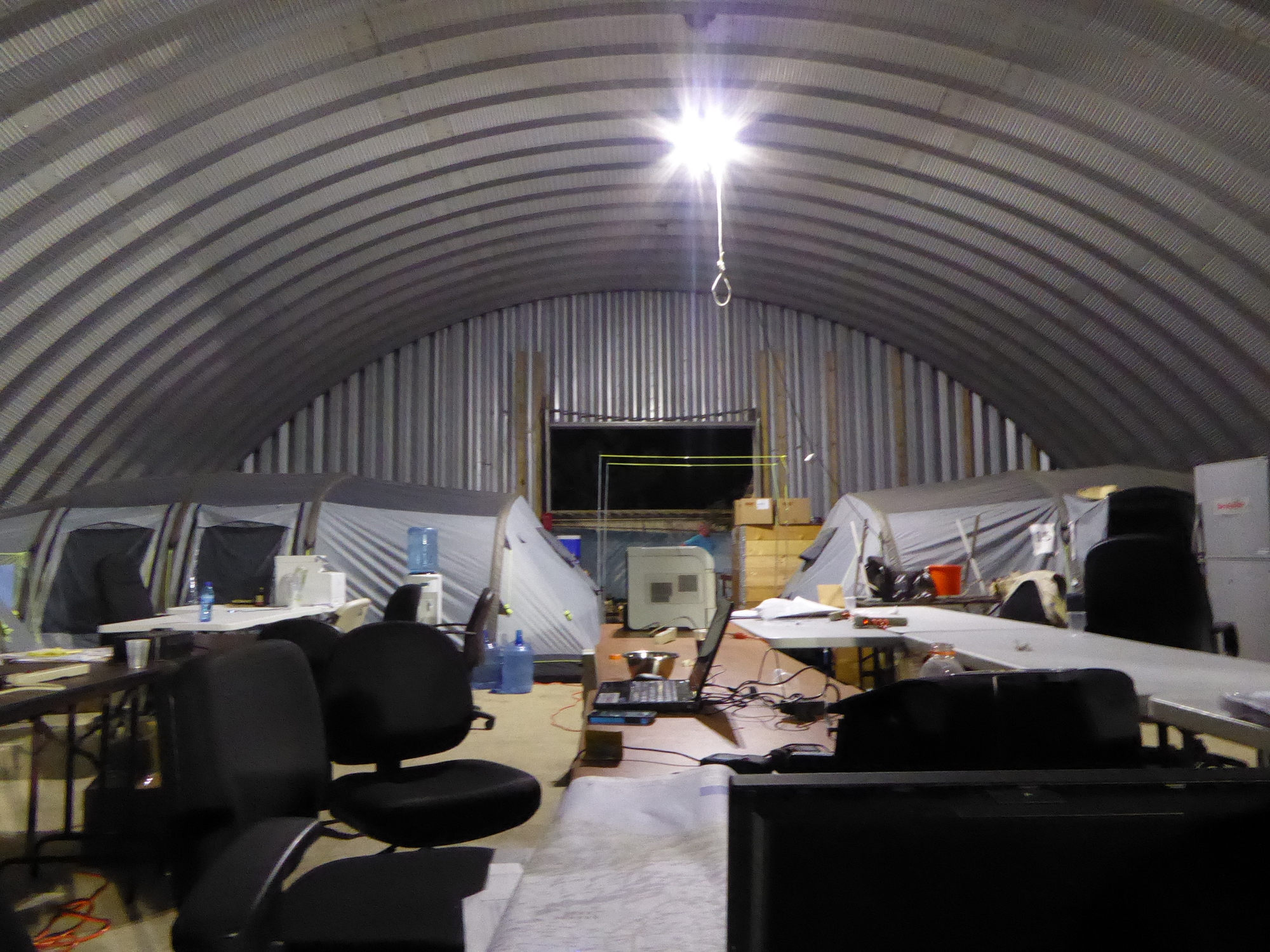
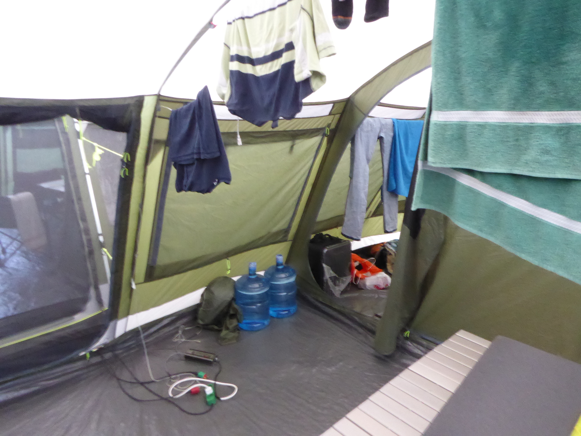
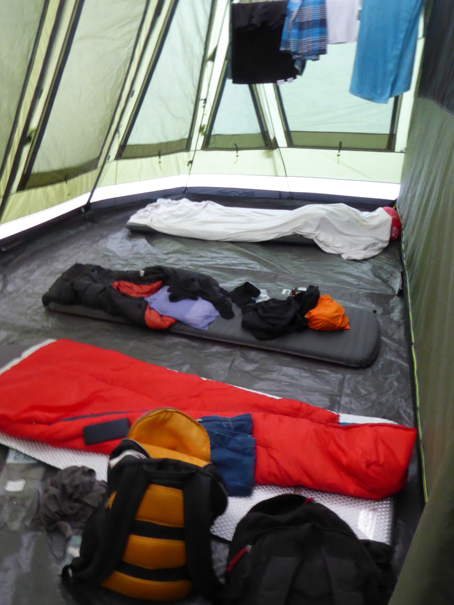
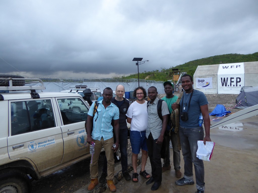
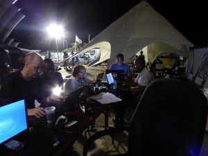
As expected, we were housed at the World Food Programme (WFP) logistics hub, which was still under construction: at that time, the WFP was still operating out of an International Humanitarian Partnerships (IHP) camp, using tents right next door for both workspace and lodging, one of which was reserved for us. Right away, we discussed with the logisticians which roads to assess first, and we were invited to attend every daily meeting at 7 p.m. Life in a humanitarian work camp was a new experience for everyone in my group and a wonderful one at that.
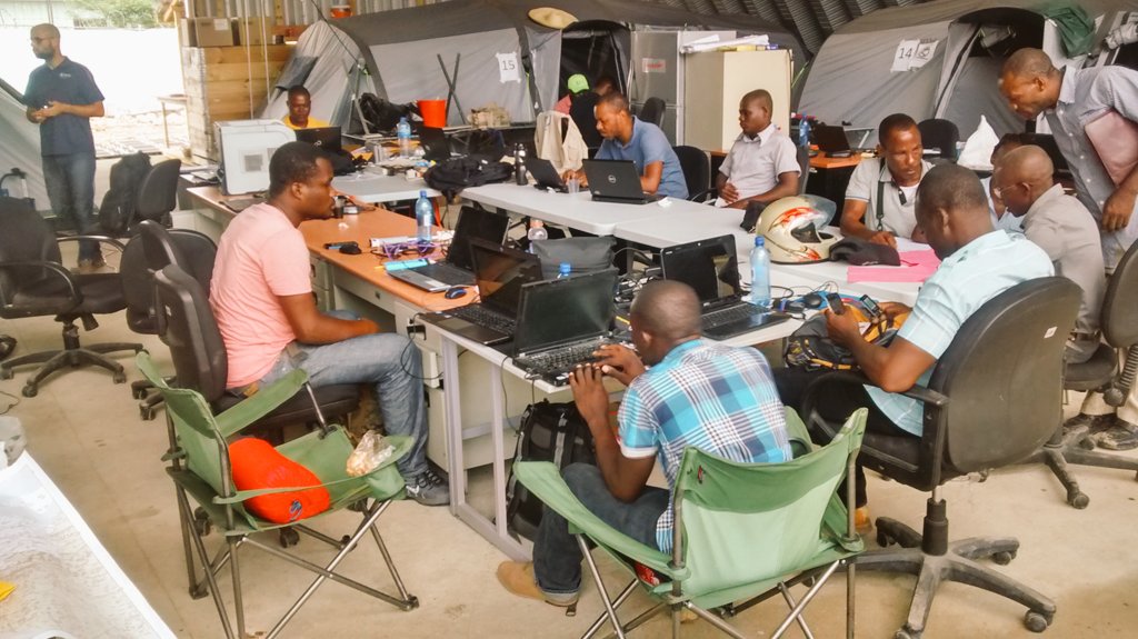
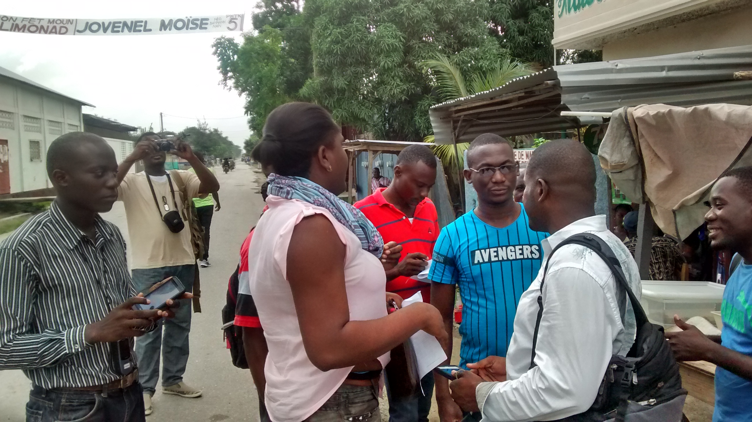
Unfortunately, the WFP didn’t have a car available for us the next day. Since our attempt to rent another 4×4 failed – the rental company wouldn’t drive into hard-to-reach areas – only Xavier’s car heads out into the field, toward Corail and Pestel to the east, while I stay with Wendy and John Carlo to help them edit the data collected since our departure from Port-au-Prince and attend the weekly LogCluster meeting, which gives us the opportunity to present our approach and offer to quickly train anyone interested in using OSM-based applications. A few organizations took advantage of this right away, and some, such as MSF, will come to meet us at the WFP one of the following evenings for further explanations. The next day, a WFP car is available, and we’re able to split into two teams to head out into the field: Xavier, John Carlo, and Débreus set out to find accessible routes northward beyond Marfranc, while Wedens, Wendy, and I try to cross to the other side of the river. There is no way across before Dame Marie, so we go through Jérémie and head past Prévilé, and our route comes to a halt at the swollen river at a place called Eau bouillie.
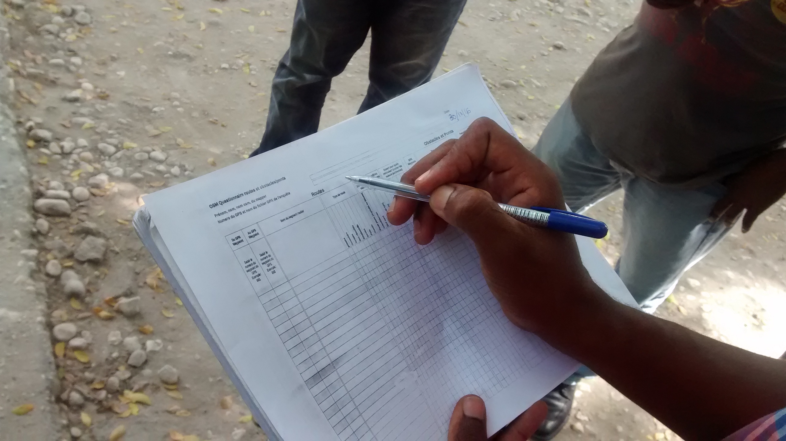
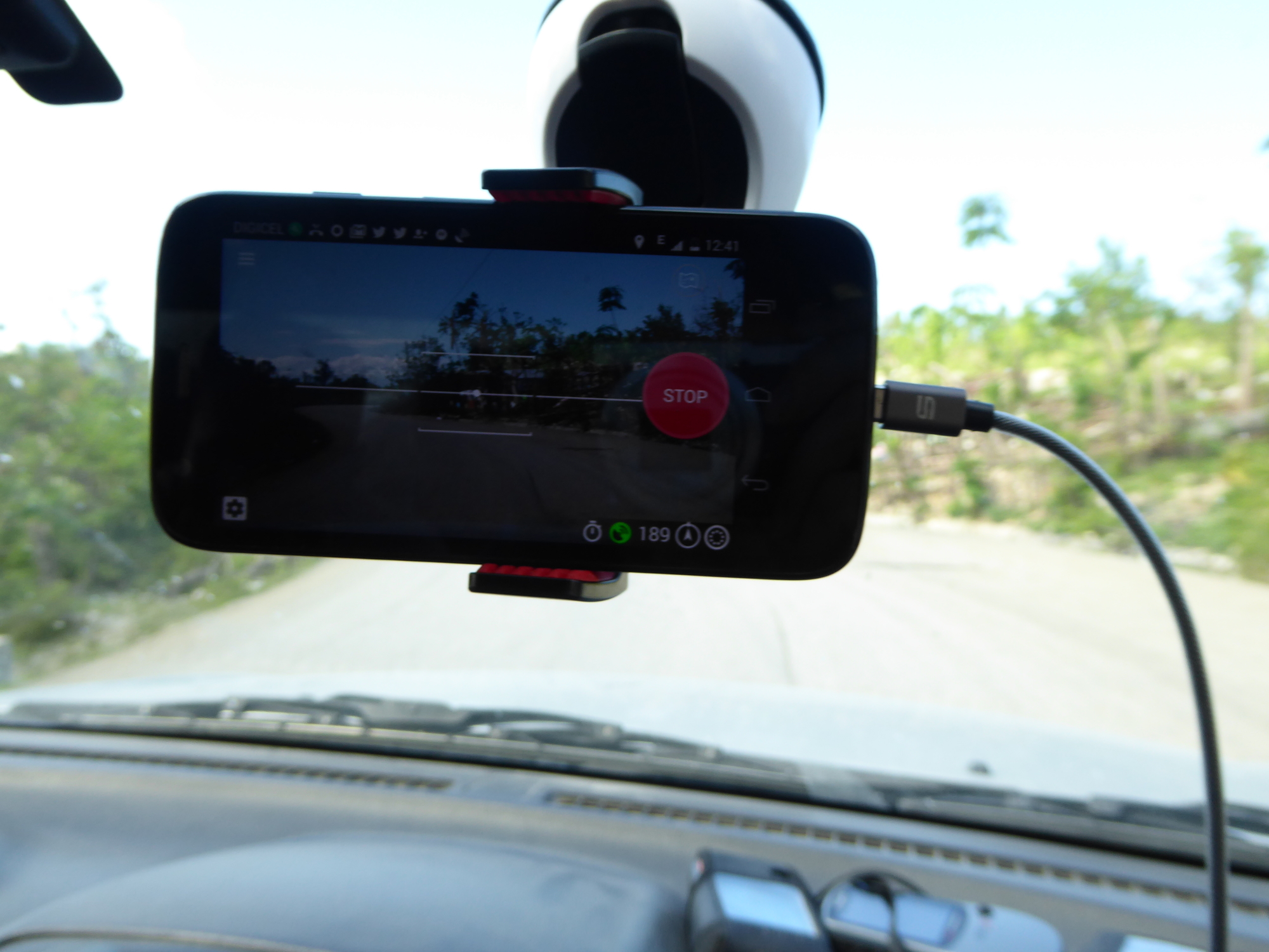
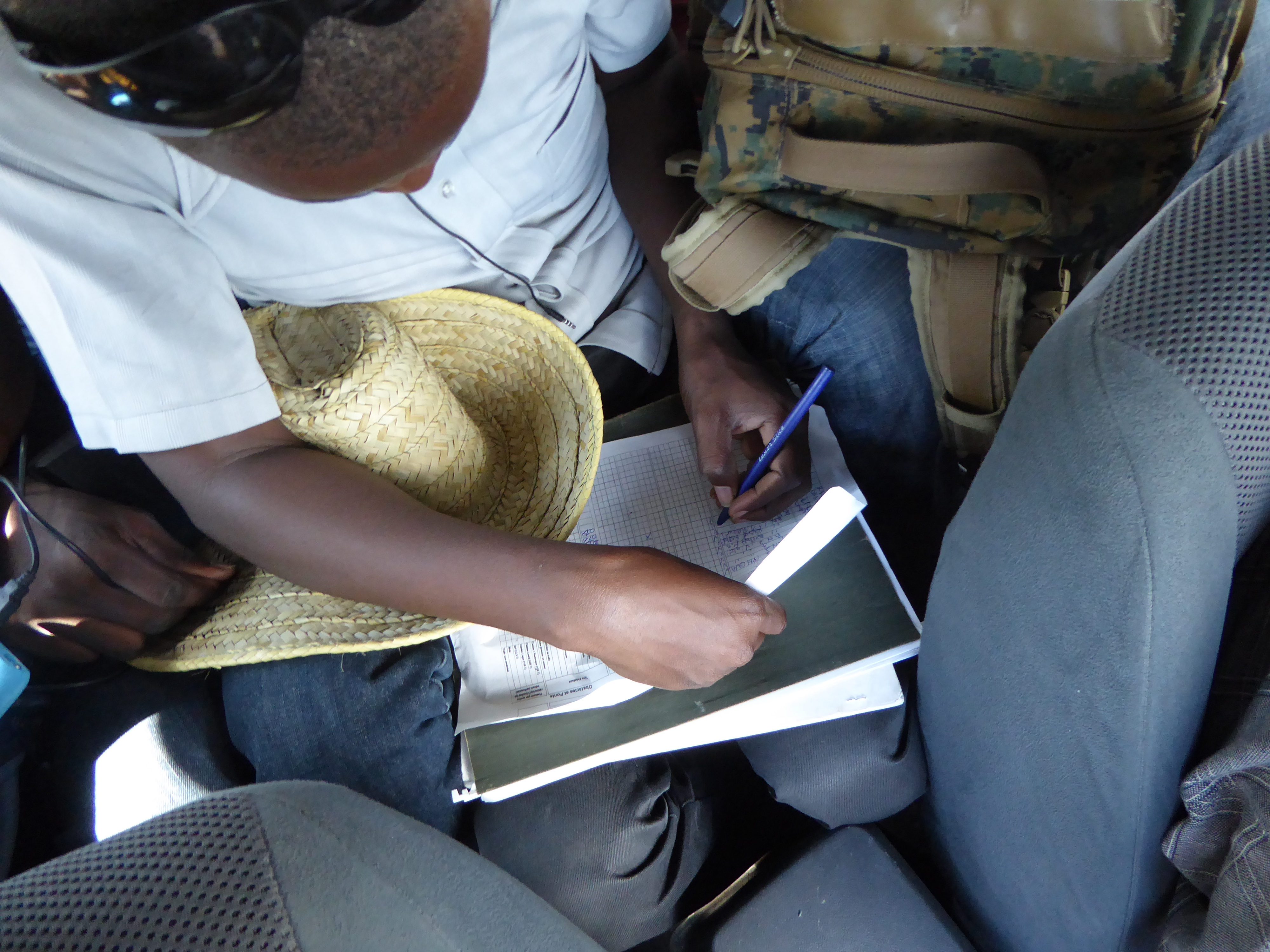
In the field, a smartphone mounted on the windshield of the vehicles takes a photo of the road every five seconds using the Mapillary app, while a two-person team handles the LCA – one with the GPS, the other with the questionnaire – which allows for cross-checking of the data collected and enhances the quality of the assessment. At each hamlet encountered, several residents are asked for its name. Points of interest (POIs) such as schools, health centers, or places of worship are also systematically recorded when encountered during the assessment.
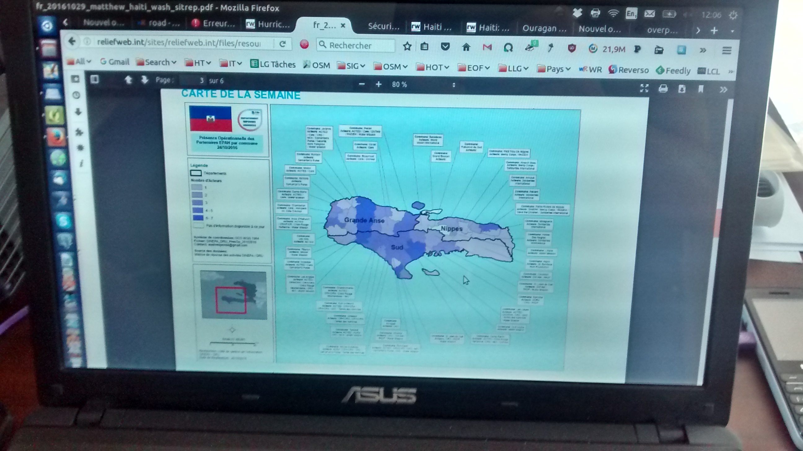
On Wednesday, November 9, it rained in the morning – which was set aside for data editing – and continued throughout the day. Xavier and I deliberately let the mappers from both organizations handle this task, since one of the goals of this pilot project is to strengthen their skills in thematic mapping. We provided them with feedback throughout the day, specifically analyzing the edits made using the Overpass service. Although there is still room for improvement, the work had progressed well by the end of the day, and during the 7:00 p.m. meeting, we were able to show on Overpass the results of our joint effort – which can be directly reused by the PAM geomatics specialists in Rome to produce the reference map of road accessibility for the Grand’Anse area, as well as the Mapillary photos, some of which had already been downloaded via our modems, or the location and distribution of helicopter landing zones, for which I created a layer based on various lists of coordinates.
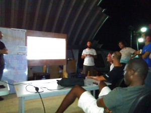
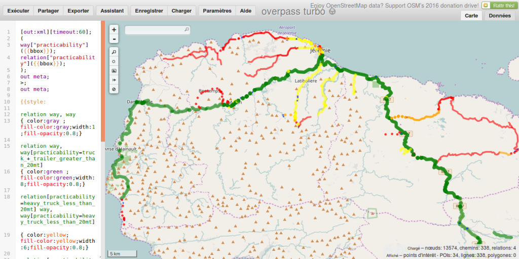
The team’s work impressed the audience at the WFP sub-office in Jérémie, who would like us to continue providing this type of field-based geospatial support for their operation. The next day, while the team remained on site to review our work with LogCluster partners during the weekly meeting at the Departmental Emergency Operations Center (COUD), I hit the road, taking advantage of a WFP car returning to Port-au-Prince, and discussed the possibility of a follow-up with LogCluster officials at the WFP office in Port-au-Prince. Accessibility data in OpenStreetMap is now directly incorporated by WFP geomatics specialists in Rome, who can publish more frequent updates to the map of road access constraints.

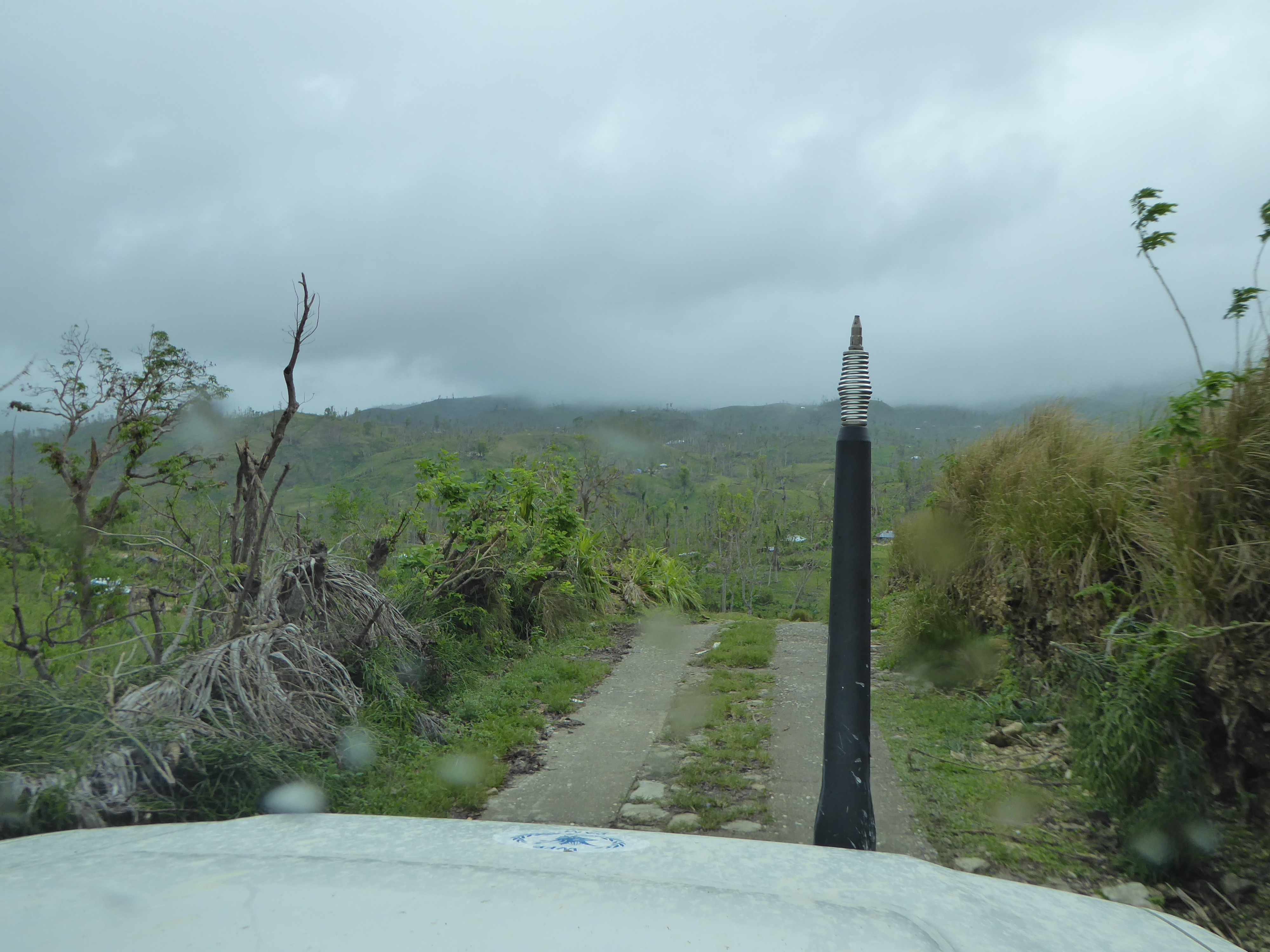
Going out into the field to conduct road assessments brings home the isolation of certain areas of Grand’Anse, which are sometimes completely cut off and inaccessible to four-wheel-drive vehicles due to wide rivers, flooded fords, and roads that are impassable or too narrow. Helicopters and travel on foot are therefore the only ways to reach the people in these areas and provide them with the emergency relief, food, and non-food aid they need to cope with the crisis caused by Hurricane Mathieu and, ultimately, to rebuild their communities.
The latest situation report from OCHA indicates that 58% of the population facing extreme food insecurity has received aid; this means that nearly half has not yet received any, more than a month after the hurricane struck.
These rural areas, where buildings are often quite scattered, are still incompletely mapped in OSM – whether it’s the buildings themselves, many of which are missing, or the roads and trails that connect them. Complete mapping of these areas is essential for the effective organization of humanitarian aid and reconstruction programs. Consequently, it is absolutely crucial for OSM project stakeholders to complete the mapping of these affected and isolated areas – identified as priorities on https://taches.francophonelibre.org/project/64 in coordination with local groups from the Haitian OSM community, so that these mappers can serve as key pillars of this humanitarian response and the reconstruction efforts that will follow.
With the goal of supporting and strengthening local OSM communities, the expert collective Les Libres Géographes (LLG) and the association Projet Espace OSM Francophone (Projet EOF), along with members of OSM advocacy collectives in these regions, are working to build autonomous local OSM capacities capable of acting locally and remotely in OSM, open geomatics, and open data – either independently or within multi-stakeholder partnerships. Specifically in Haiti, under this agreement between HC and the OIF, this support and guidance for Haitian OSM collectives takes the form of one year of access to HC’s logistics base in Port-au-Prince and the IT equipment available there for the island’s OSM collectives; grants for local organizers to conduct training sessions, mapping sessions, and OSM events (cartoparties and mapathons), as well as mentoring sessions to be provided locally by Xavier. This will enable the mappers participating in these three weeks of activities to share the experience they’ve gained in crisis zones – working alongside Xavier and me – with the community groups in Artibonite and the Northeast from which they come.
This article was originally published on the EOF Project blog.
The text has been translated from French by DeepL.com (free version).