CohéSIoN: “Socio-Territorial Constructs of Inequality: Territorial Assessment and Decision Support” in Bouaké – 2022
May 2022
Context and Approach
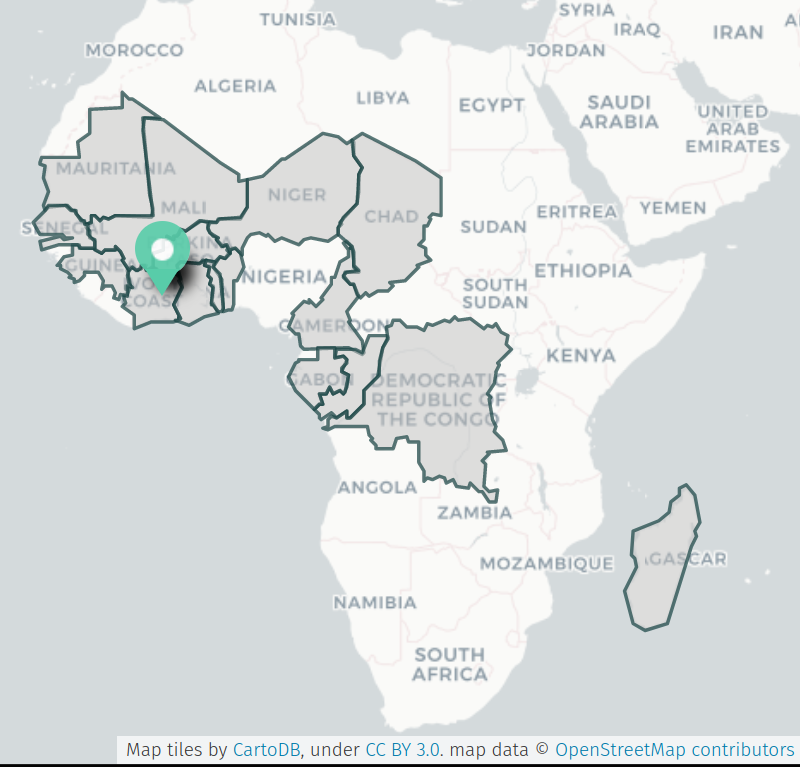
A multi-partner research project that uses a geographic approach to determine how health inequalities contribute to and are shaped by the construction of the “territory” of Bouaké, the second-largest city in Côte d’Ivoire, through the lens of malaria, the ANR CohéSIoN project was scheduled to conclude in 2021 after four years of multidisciplinary research.
The LLg association, with the support of members of OSM Côte d’Ivoire, is responsible for the open-source geomatics component of the ANR CohéSIoN project, and in 2018 and 2019 carried out activities involving training and OpenStreetMap (OSM) mapping, geographic information systems using QGIS, spatial data infrastructure using geOrchestra, open data, and an open science lab. A final reporting mission was scheduled for 2021, but the COVID-19 pandemic forced CohéSIoN activities to be put on hold for over a year, and the ANR was compelled to postpone the project’s conclusion until the end of May 2022.
The activities of the 2022 CohéSIoN Open Geomatics mission led by LLg were carried out in three phases:
-
A preparation phase for the planned fieldwork, carried out remotely (from Vannes, France, and Salvador de Bahia) by the two senior LLg experts during the first three weeks of April 2022;
-
A fieldwork phase carried out from April 25 to May 15, 2022, in Bouaké by the two senior LLg experts, assisted by four junior experts already involved in the CohéSIoN project, following an approach focused on internal capacity building within the ANR CohéSIoN working group;
-
A (final) phase of work carried out remotely upon return from the mission for the technical and administrative closure of this third and final open-source geomatics mission of the ANR CohéSIoN.
Promoting the Outputs of Open Geomatics Activities
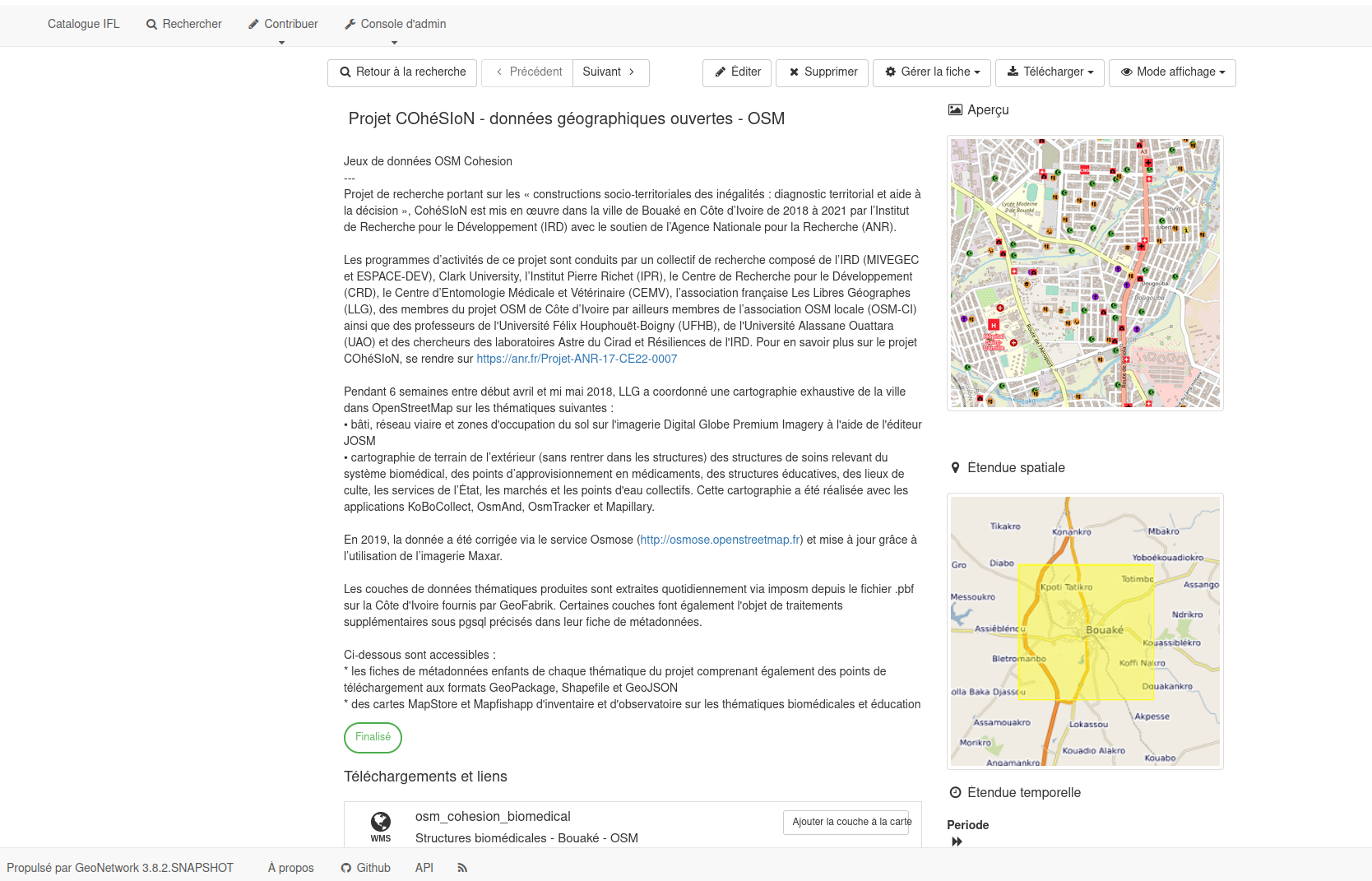
Prior to the mission, LLg consolidated OpenStreetMap data across the five thematic areas (healthcare facilities in the biomedical sector, educational institutions, places of worship, public services, and community water sources), most of which were derived from CohéSIoN from 2018 and 2019. However, this data has also been updated or supplemented to some extent by other OSM users. The levels ISCED have also been added to all educational institutions.
This spatial data was then integratedinto the Francophone Open Spatial Data Infrastructure (IFL) in the form of:
-
WMS/WFS layers associated with metadata, making them accessible to any OGC client (such as QGIS, for example)
-
visualization maps – thematic and general – with MapStore utilizing these layers, accompanied by analytical graphics and also allowing queries and extraction in various formats
-
metadata records in ISO 19115 format (a parent record and dependent thematic records) that allow users to enter data (abstract, keywords, spatial extent, contacts) and also provide download links in various formats
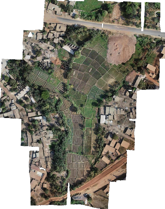
The drone imagery mosaics produced as part of the CohéSIoN project by Arsène Adou, using a Phantom 4 Pro v2 drone between 2019 and 2020 and mosaics created using OpenDroneMap or Photoscan, have been uploaded to the platform OpenAerialMap and integrated into the imagery available in JOSM, the main OpenStreetMap editor. The four study areas – Belleville, Air France, Koko, and Sossibougou – are thus covered by imagery with a resolution of 5 cm, which can be edited in OSM. The smaller urban agriculture areas of Ngattakro and Odiennekourani are also covered for every month of 2019, at a resolution of 2 or 5 cm.
Consolidation of the open-source geomatics documentation from the ANR CohéSIoN project (NextCloud folder “COHESION_PARTAGES_PUBLIC”); it has been supplemented by the open educational resources recommended by Les Libres Géographes (Guide to Open Geomatics and Open Data and Unite Maps Learning Hub).
Design and implementation of the training program with members and partners of the ANR CohéSIoN
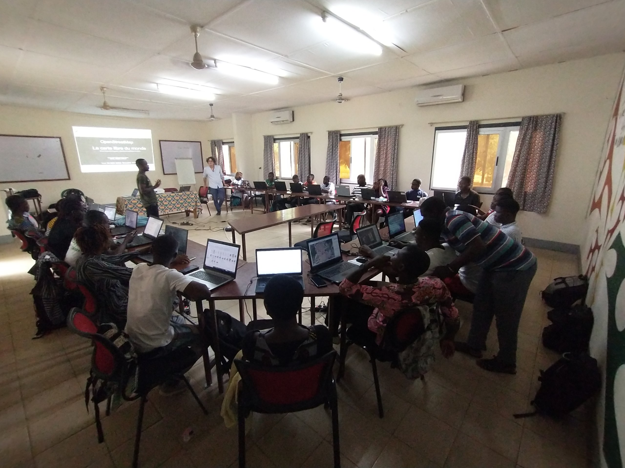
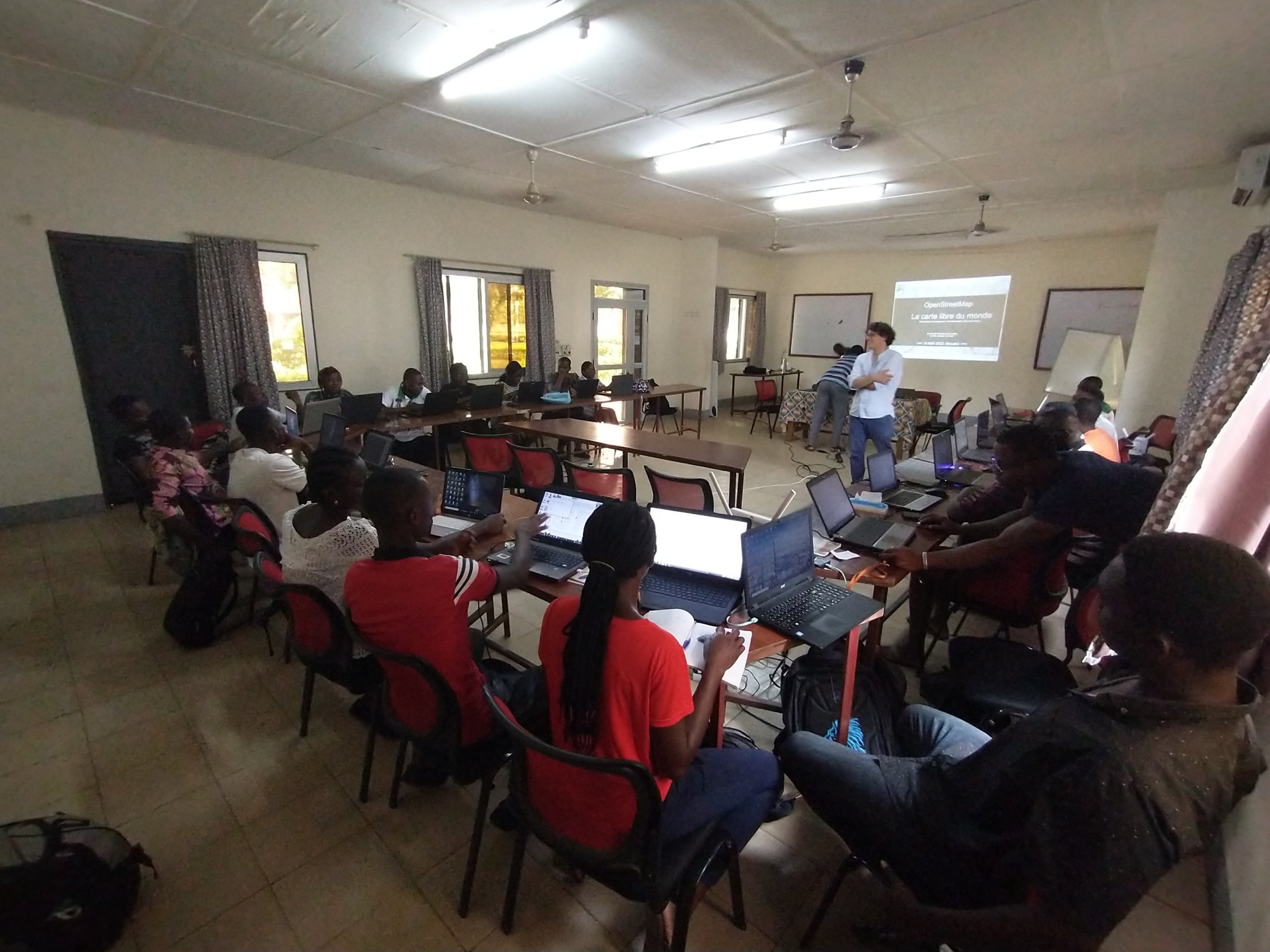
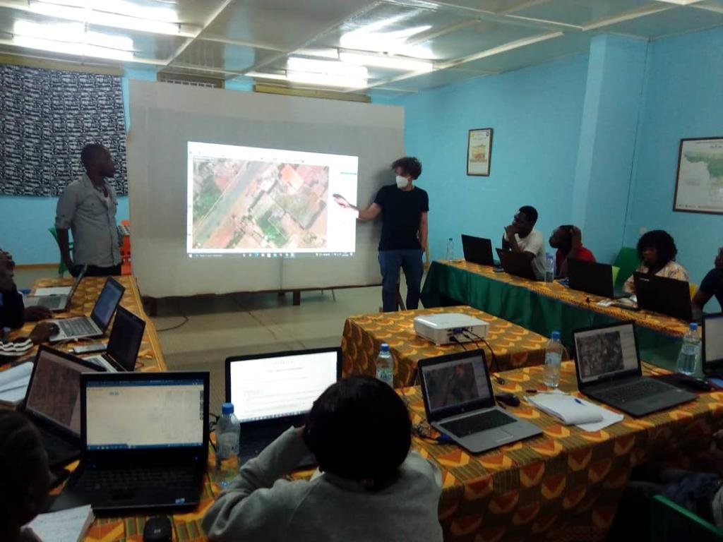
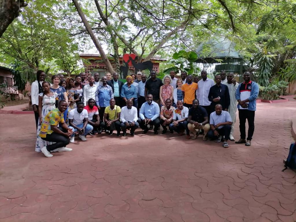
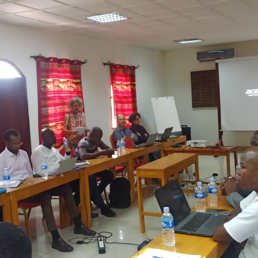
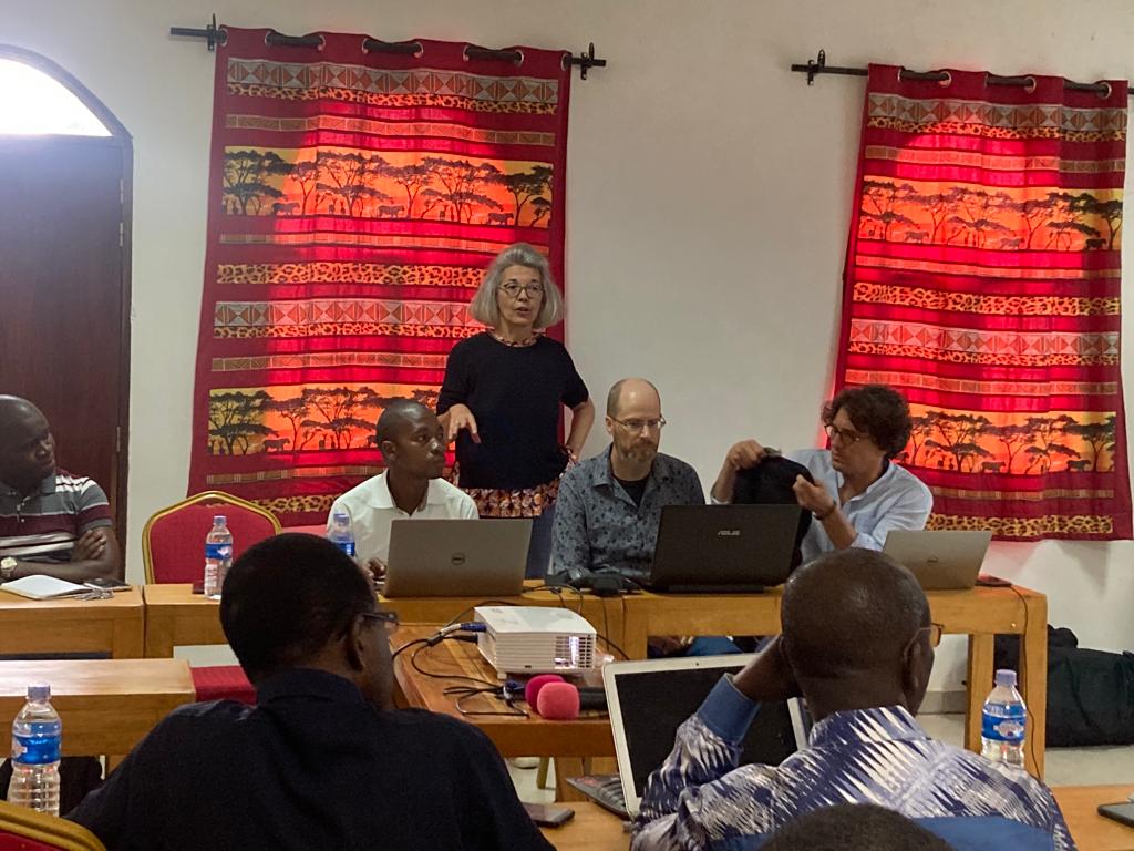
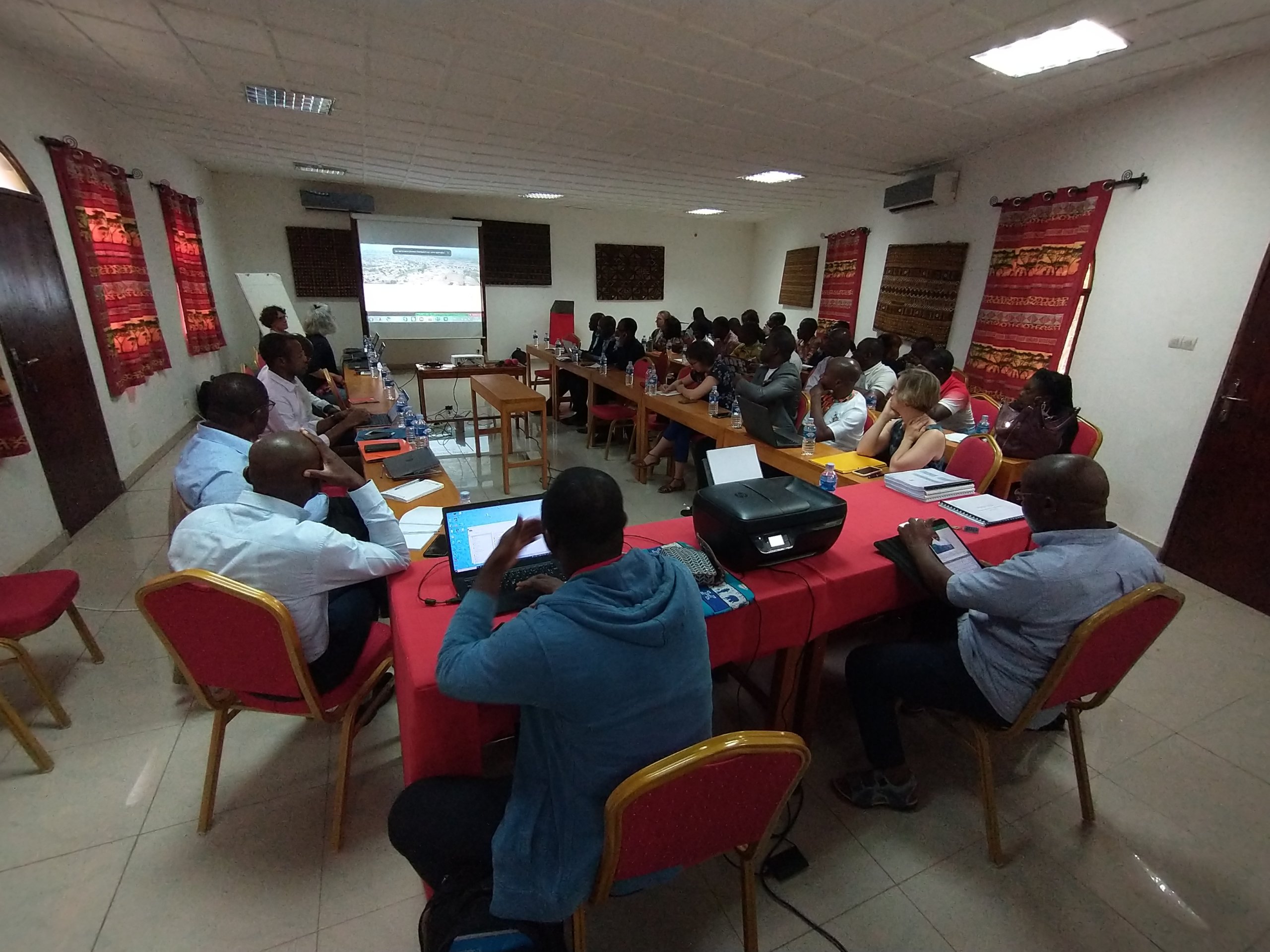
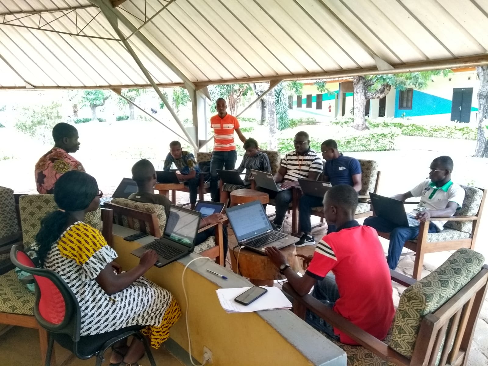
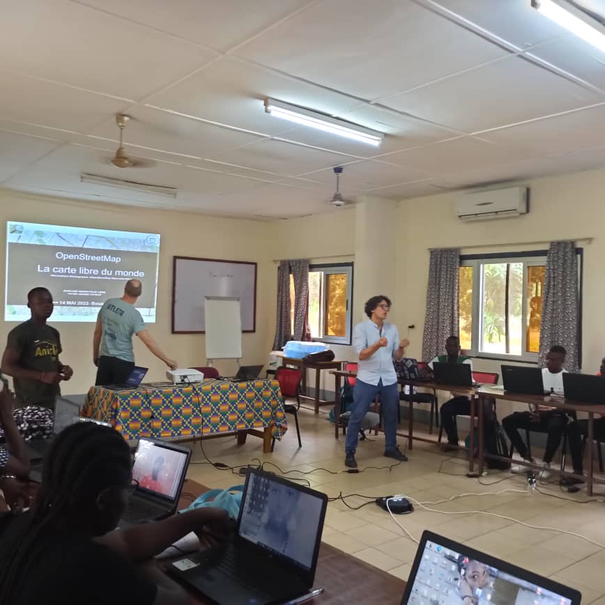
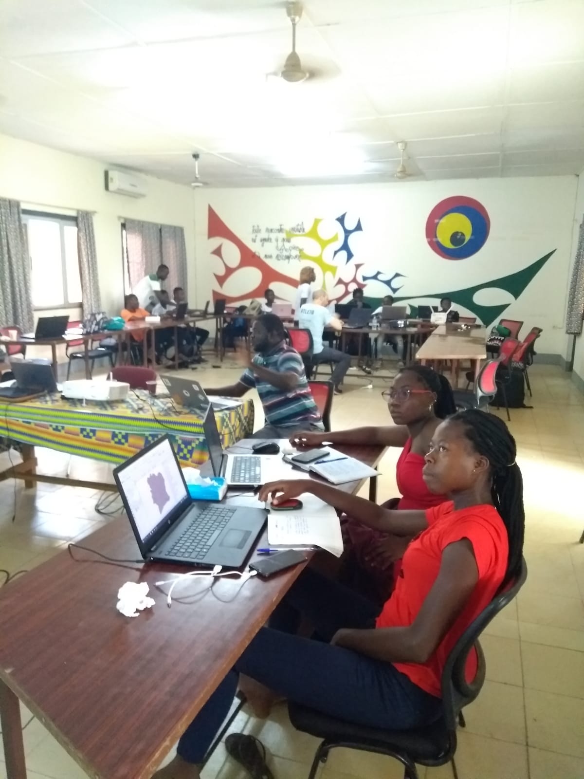
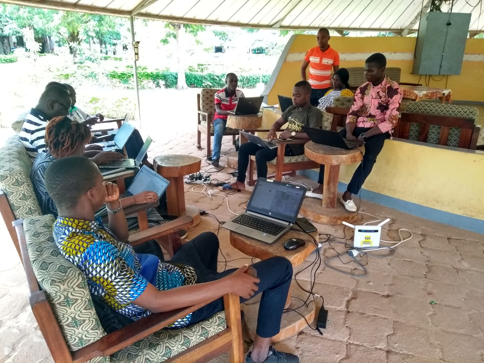
From April 25 to May 14, 2022, at the Pierre Richet Institute, the design and delivery of the training program for students and professionals, as well as the facilitation of the Cohesion BarCamp on May 14 were carried out by senior LLg experts in close collaboration with local junior experts. For the latter, this capacity-building approach resembled a train-the-trainer activity.
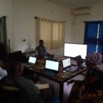
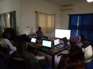
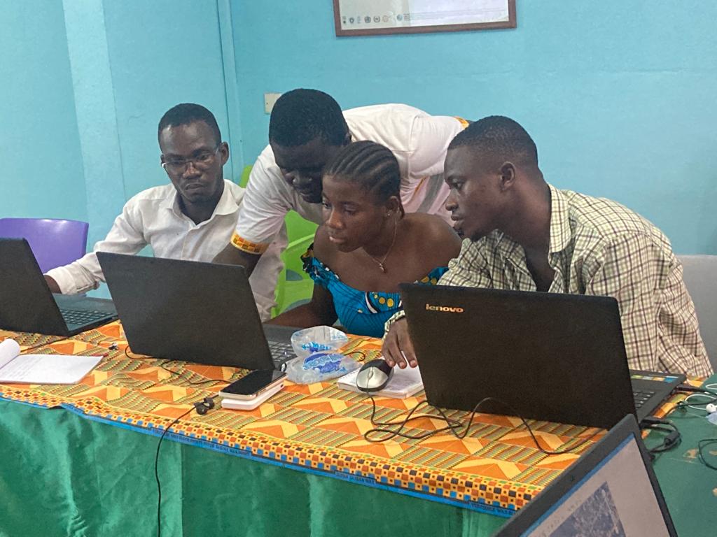
A 10-day main workshop held from May 3 to 14, 2022, for a group of 13 master’s and doctoral students in geography focused on OpenStreetMap mapping, the KoBoToolbox suite, the uMap web mapping tool, QGIS software, and the geOrchestra Spatial Data Infrastructure (SDI)
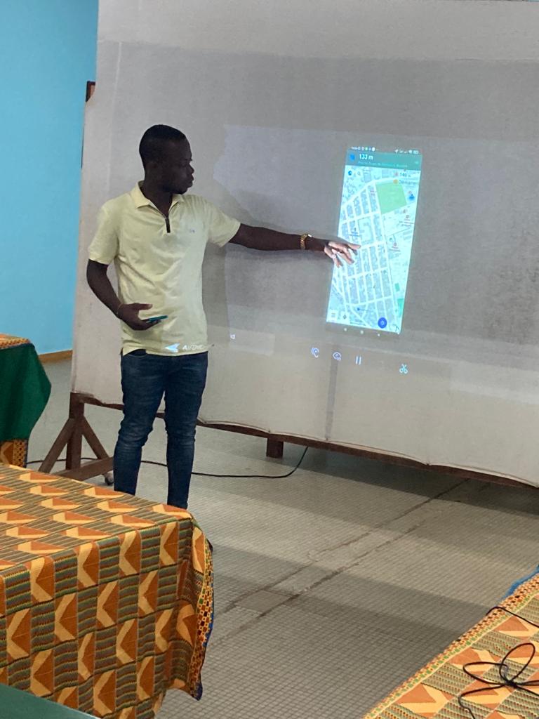
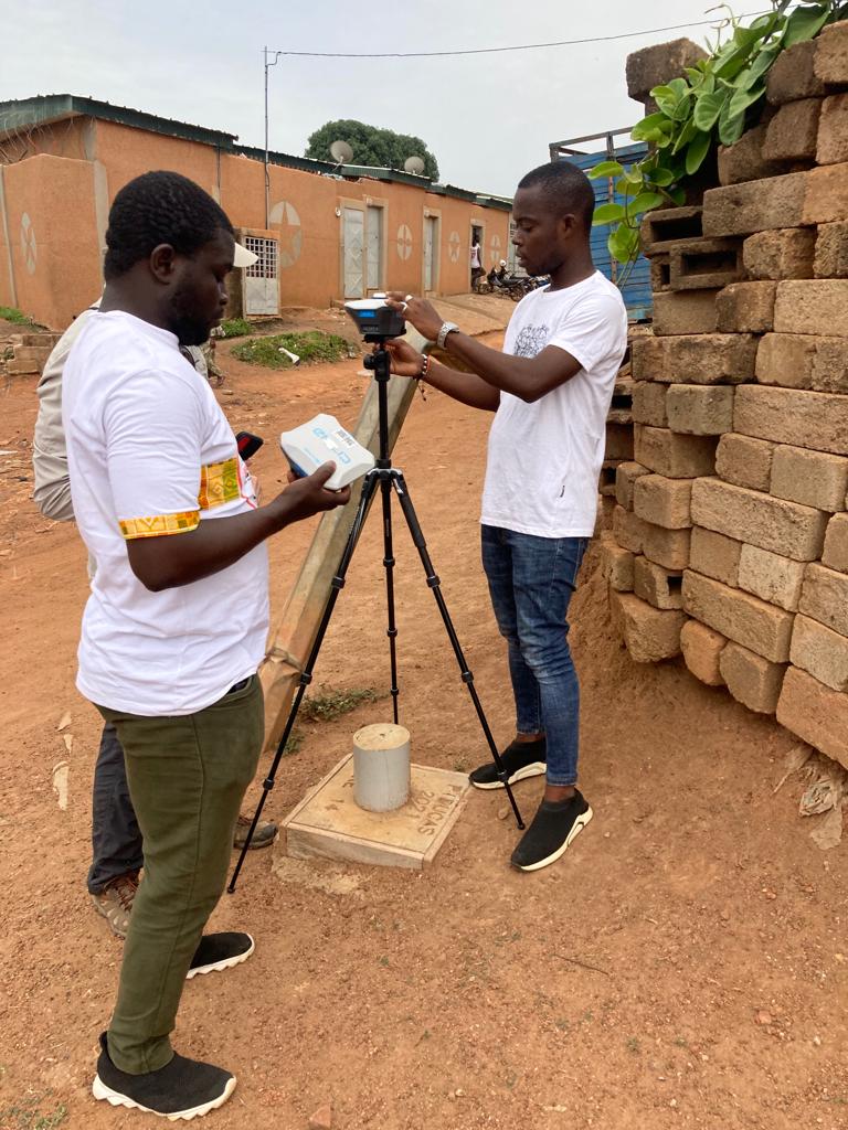
At the same time, aseries of short videos tailored to the needs of three members of the Technical Services Department (DST) at Bouaké City Hall, specifically on the osm.org and OsmAnd resources and the implementation of a survey using RTK differential GPS.
Participation in the final presentation day of the ANR CohéSIoN project
Like the other COhéSIoN partners, Les Libres Géographes presented the activities they have carried out since 2018 as part of the ANR project during the event on May 10.
A presentation titled “Methodology for the Survey on the Location of Public Facilities” reviewed the timeline and processes of the open-source geomatics platform COhéSIoN for urban surveys on the location of urban facilities:
-
healthcare, education, places of worship, other public facilities, markets, and community water points during the 2018 mission
-
water sources, drainage, gutters, waste, latrines/toilets, and showers during the 2019 mission
In another presentation on “OSM Tools for Research,” LLg highlighted the open-source and low-tech approach unique to the OpenStreetMap project, which facilitates adoption and replicability – an approach that was further reinforced by the focus on capacity building that guided all activities carried out during COhéSIoN. They detailed the quantitative results in terms of capacity building, as well as those concerning the technical workflows developed and the data collected, which form the foundation for the continued community-driven operation of this open-source geomatics initiative.
Organization of the CohéSIoN Open Geomatics BarCamp
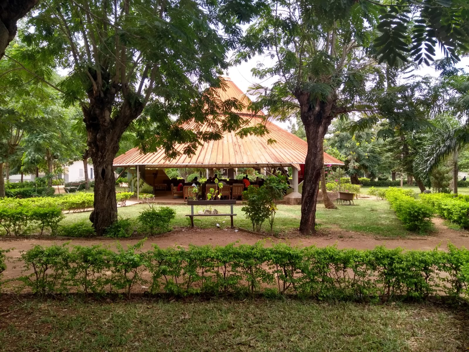
The final activity was held on May 14, 2022, at the Foyer Jeune Viateur adjacent to Alassane Ouattara University. the BarCamp was conceived as the tenth and final day of training for the 13 participants of the workshop held over the previous two weeks, who this time were to serve as mentors to a group of 14 students who had not yet been introduced to or trained in open geomatics tools.
Following a presentation on the OpenStreetMap project, the ANR Cohesion initiative, and the BarCamp – as a community-led continuation of the mapping and training activities conducted within COhéSIoN – the day’s activities were jointly planned with all participants, who divided into three workshops:
-
OSM web services and OSM data extraction, with an audience that included both beginners and experienced OSM users, though all had minimal GIS background
-
In-depth creation of thematic maps in QGIS, which attracted people already trained in the software, whether or not they were familiar with OpenStreetMap
-
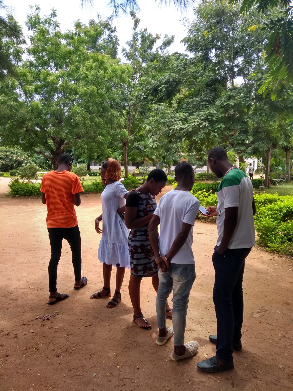
An introduction to OSM and field data collection via a tour focused on OsmAnd in the Foyer gardens, for complete beginners to OpenStreetMap
The text has been translated from French by DeepL.com (free version).
Location