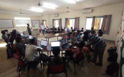
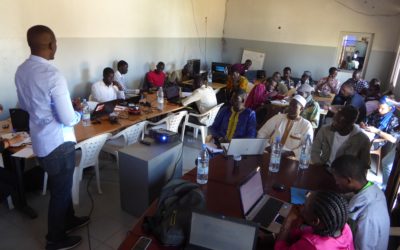
Following a first capacity-building program implemented in 2019–2020, LLg organized a new program...

Following a first capacity-building program implemented in 2019–2020, LLg organized a new program...
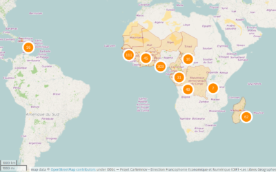
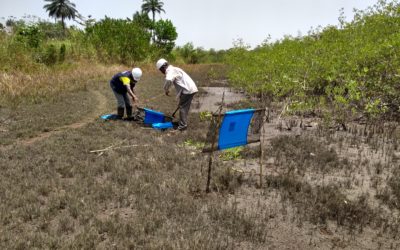
Context and Approach A multi-partner research project that uses a geographic approach to determine...
2016-2019Recognizing the importance of the digital economy as a major driver of development and...
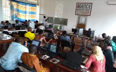
July 2019Context and Approach The LLg association, with the support of members of OSM Côte...
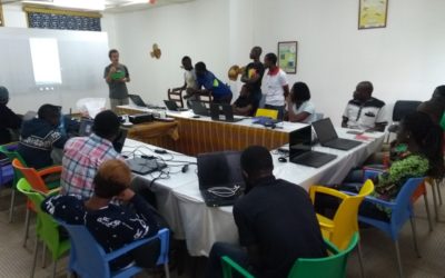
Building on years of volunteer and economic collaborations in Burkina Faso (since 2014), Côte...
Oct 2018This project was featured in an article in Issue 430 of the online WeeklyOSM newsletter....
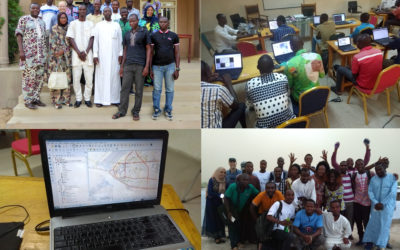
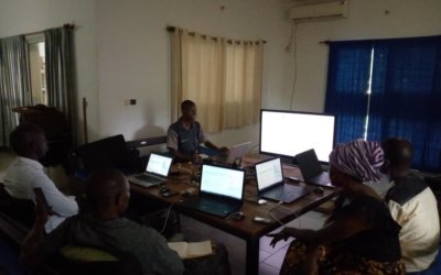
May 2018From April 30 to May 12, 2018, in N’Djamena, Chad, the Department of Economic and Digital...
Background and Approach Building on years of volunteer and economic collaborations in Burkina Faso...
Building on their longstanding presence in Senegal and their extensive community networks, GRET, Y...
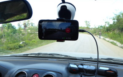
Continued mapping efforts to support affected areas from Haiti and abroad After Hurricane Matthew...