Outreach and Training Workshops on OpenStreetMap and Open Geomatics in Antananarivo
April 2019
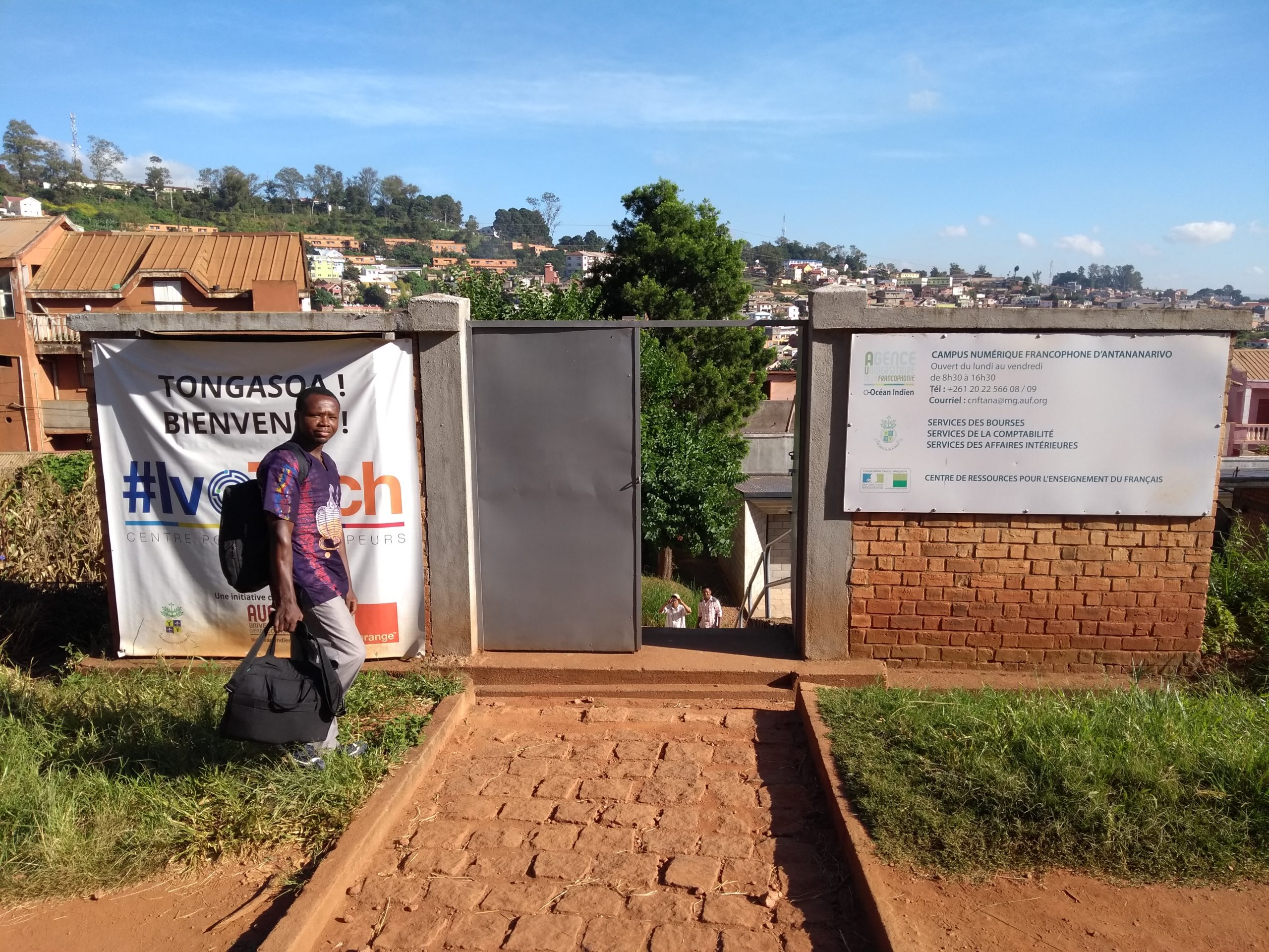


Madagascar was included in the CarteInnov project starting in 2017, and capacity-building workshops on OSM and open-source geomatics were organized with financial support from the DFEN by experts from Les Libres Géographes and the OSM Magalasy community from June 18 to 30, 2018, in Antananarivo at the offices of Habaka and the Center for Scientific and Technical Information and Documentation (CIDST). These new workshops, held from April 15 to 27, 2019, aimed to consolidate and build upon the technical knowledge shared the previous year.
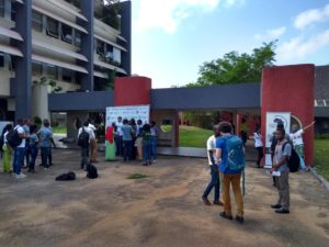
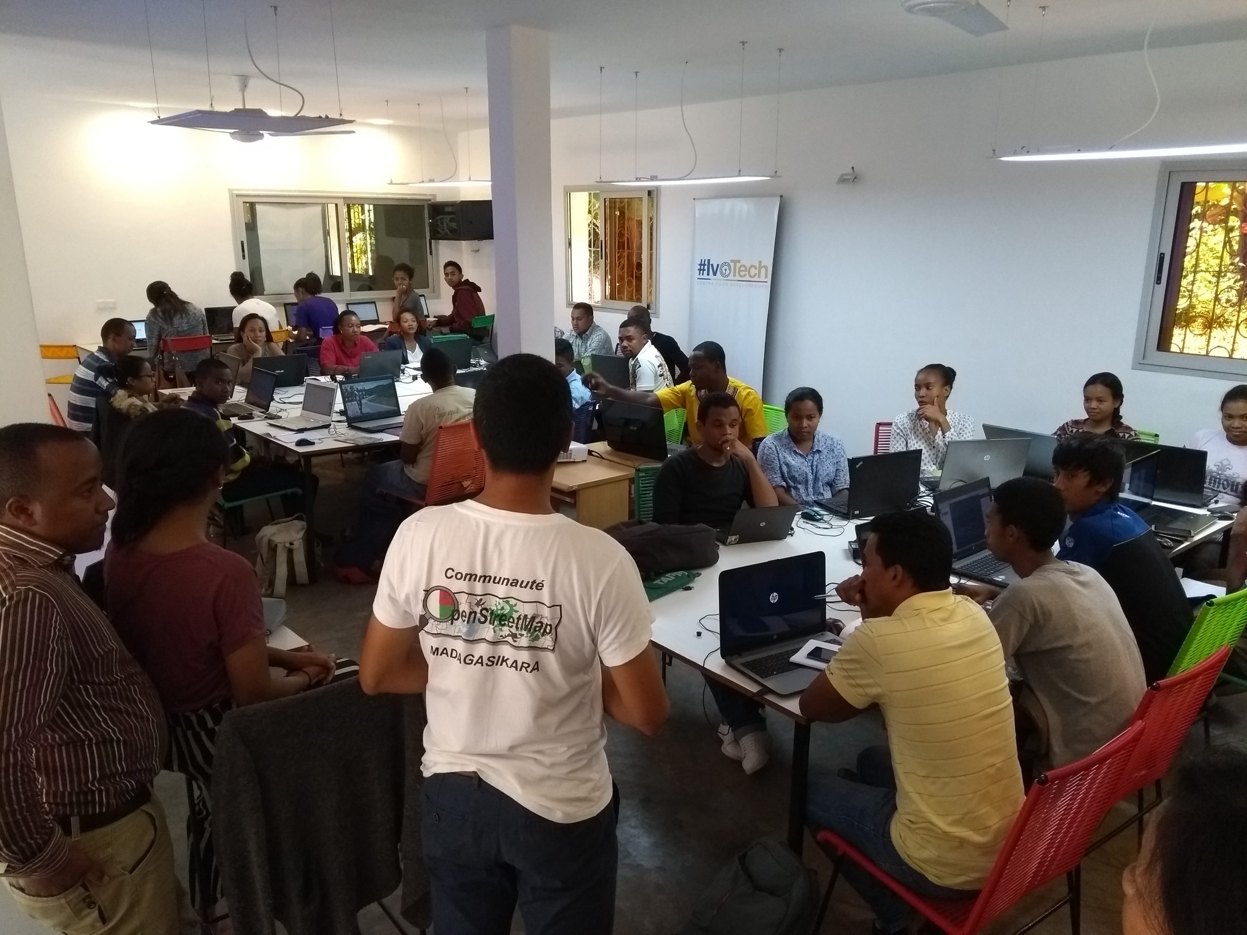
Two Parallel Workshops at the CNF for Different Audiences
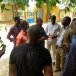
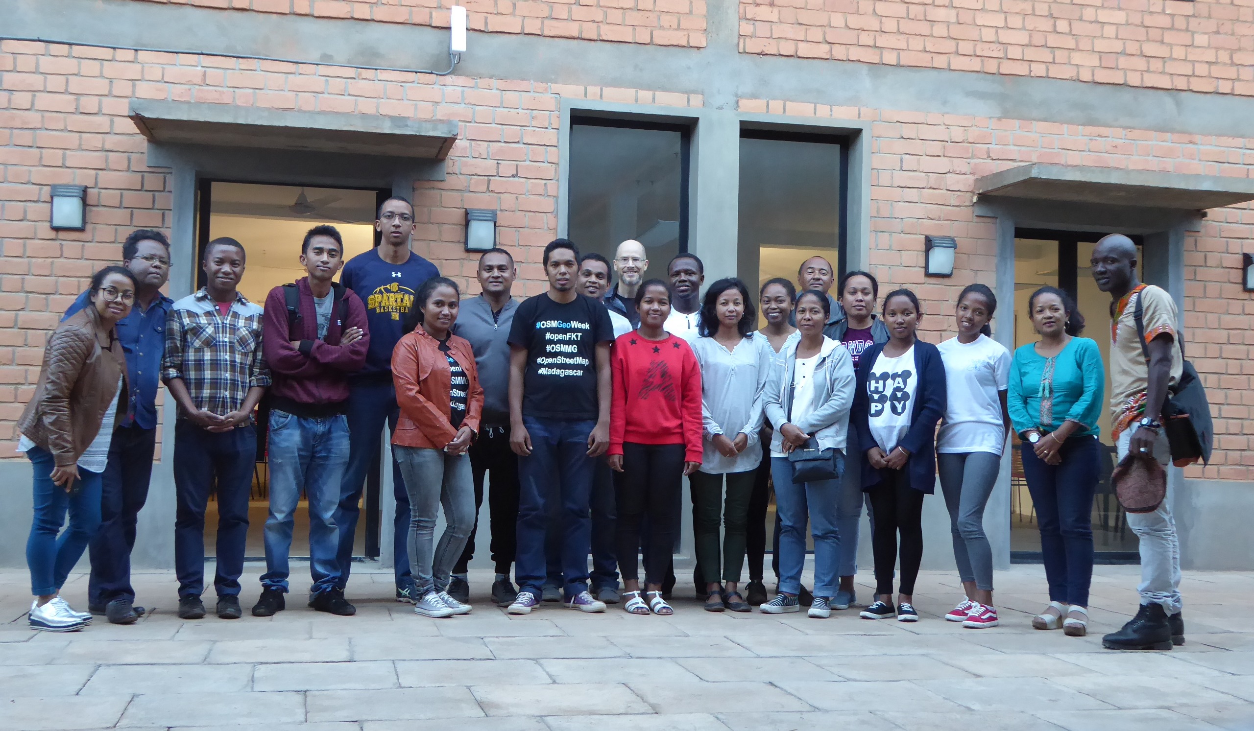
Two workshops were held simultaneously in two adjoining rooms at the CNF in Antananarivo. One was dedicated to intermediate-level participants who already had experience with OSM (notably some former participants from the workshops held the previous year in Antananarivo), and the other to novice participants who were new to open-source digital mapping (OSM).
These two groups of beneficiaries are also actively involved in Madagascar in the fields of geomatics, open-source software, and ICT within government agencies (Emergency Prevention and Management Unit (CPGU), Antananarivo Plain Flood Protection Authority (APIPA), Madagascar Road Authority (ARM), National Center for Environmental Research (CNRE), Electricity Regulatory Office, Ministry of Public Health / Health and Environment Service), academia (students of geography, environmental studies, or agronomy), civil society (the Ifaharana and OSM Madagascar associations, the Habaka co-working space), the private sector, interest groups, and individuals working in development aid and humanitarian action.
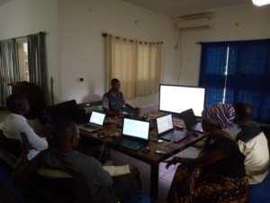
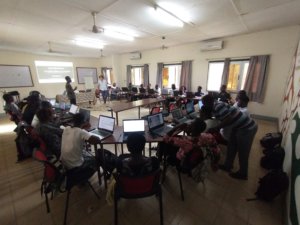
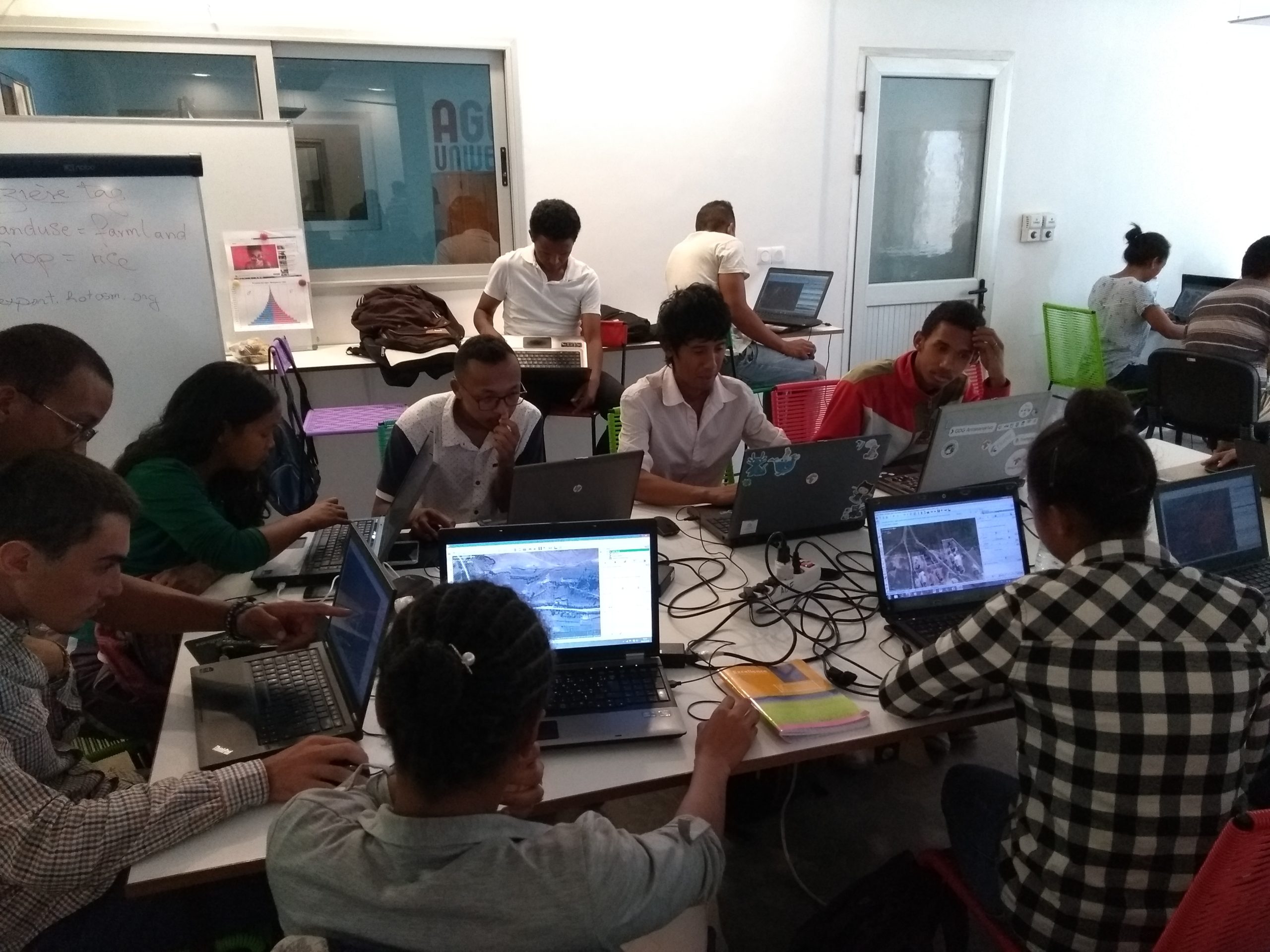
The first week was devoted to learning (beginner group) or reviewing and reinforcing (intermediate group) OpenStreetMap mapping techniques so that both groups of learners could master the various OSM mapping techniques to enrich its open geographic database.
Creating Open Data in Urban and Rural Areas
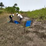
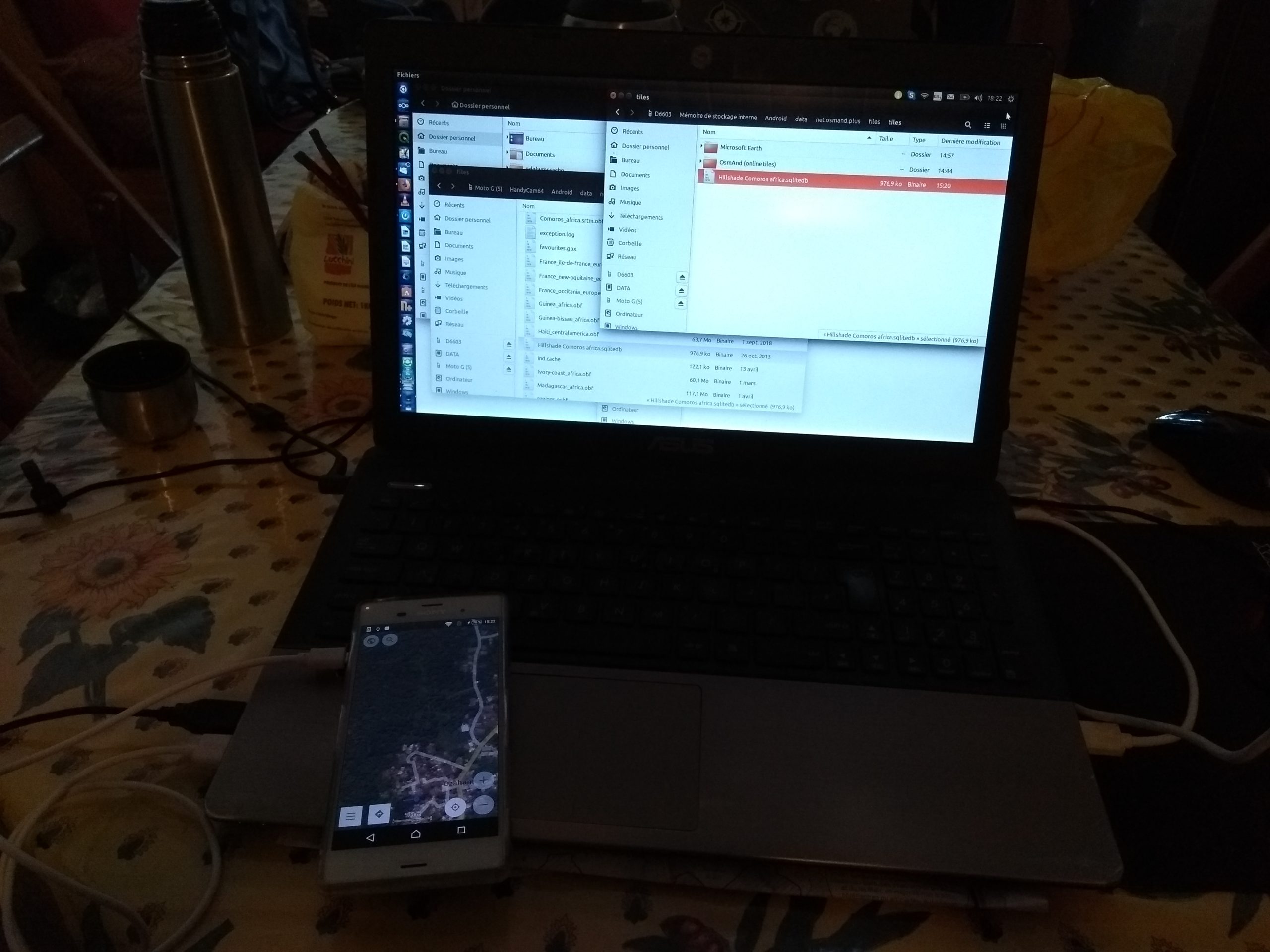
This learning process took place both in the field – by mapping points of interest near the university using the OSMTracker and OsmAnd mobile apps – and remotely, using high-resolution satellite imagery in a collaborative and coordinated manner across two different areas of Madagascar.
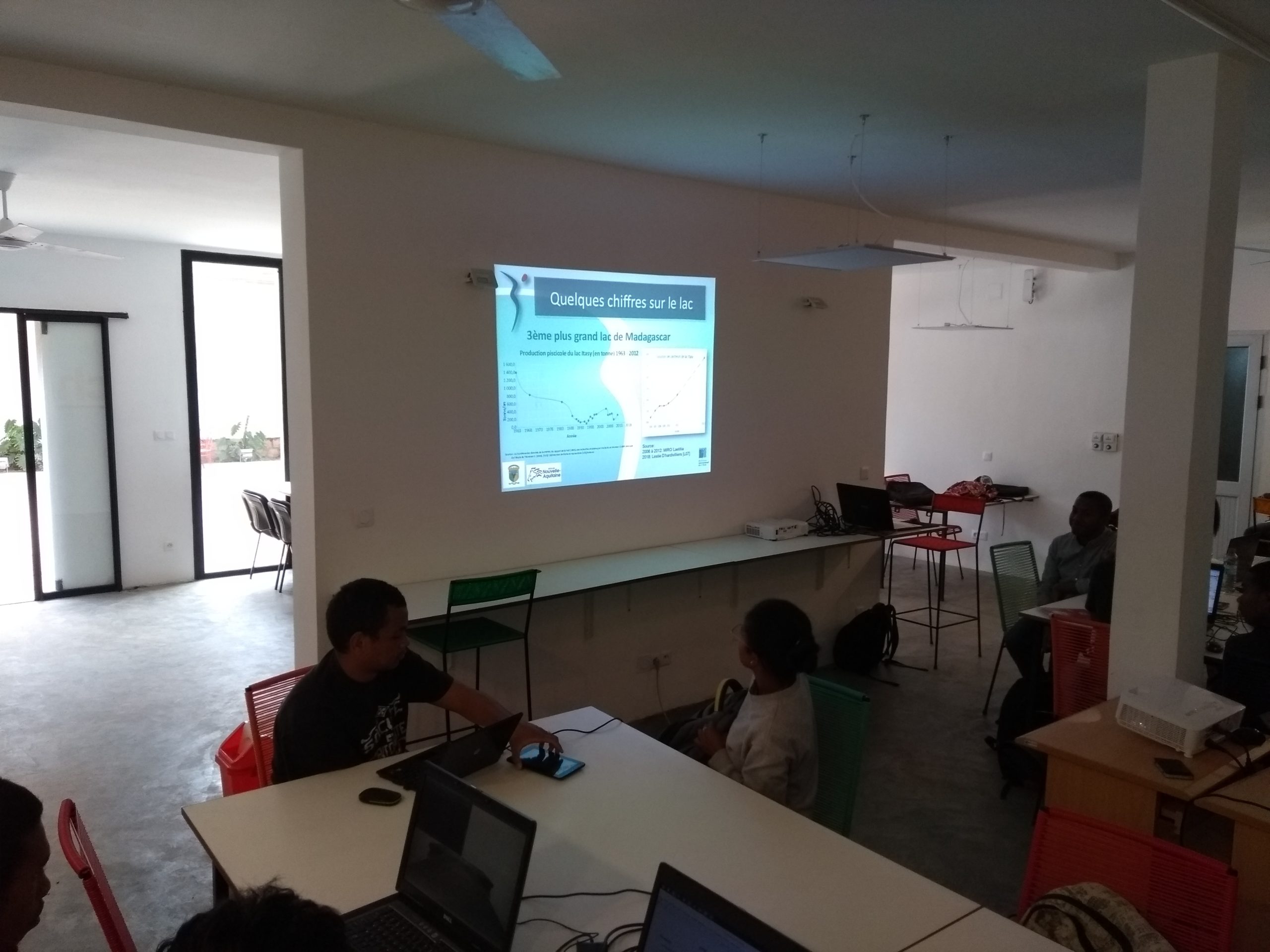
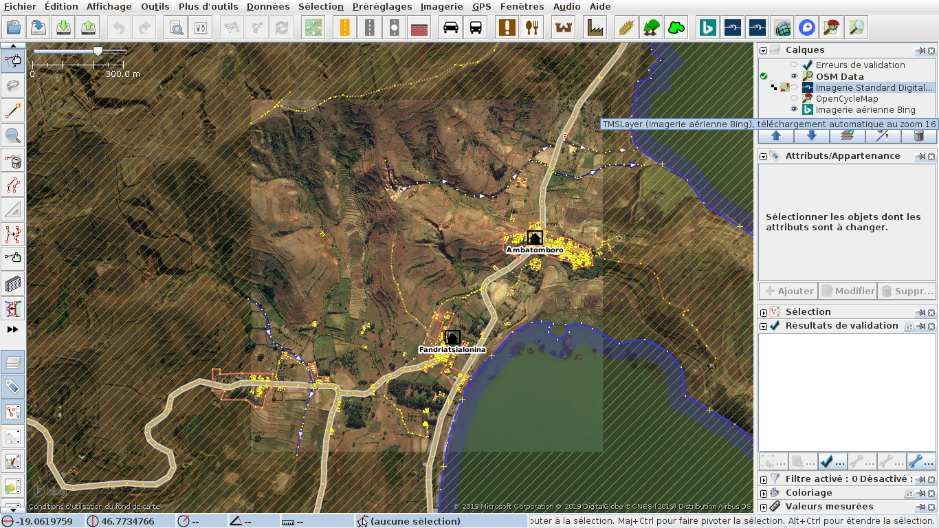
The first project focused on a 250 km² area around Lake Itasy southwest of Antananarivo, at the request of the Decentralized Cooperation program of the Nouvelle-Aquitaine – Itasy region, which is working to address overfishing in the lake and the prevalence of schistosomiasis. This collaborative project was the focus of a mapathon held over a day and a half, followed by follow-up sessions and quality control. This mapathon followed the OpenStreetMap Foundation’s new rules regarding organized edits, through the creation of a dedicated page on the OSM wiki presenting the mapathon, its participants, and the mapping and quality control tools used. Following this collaborative effort, the Osmose error detection service no longer detects any high-level errors:

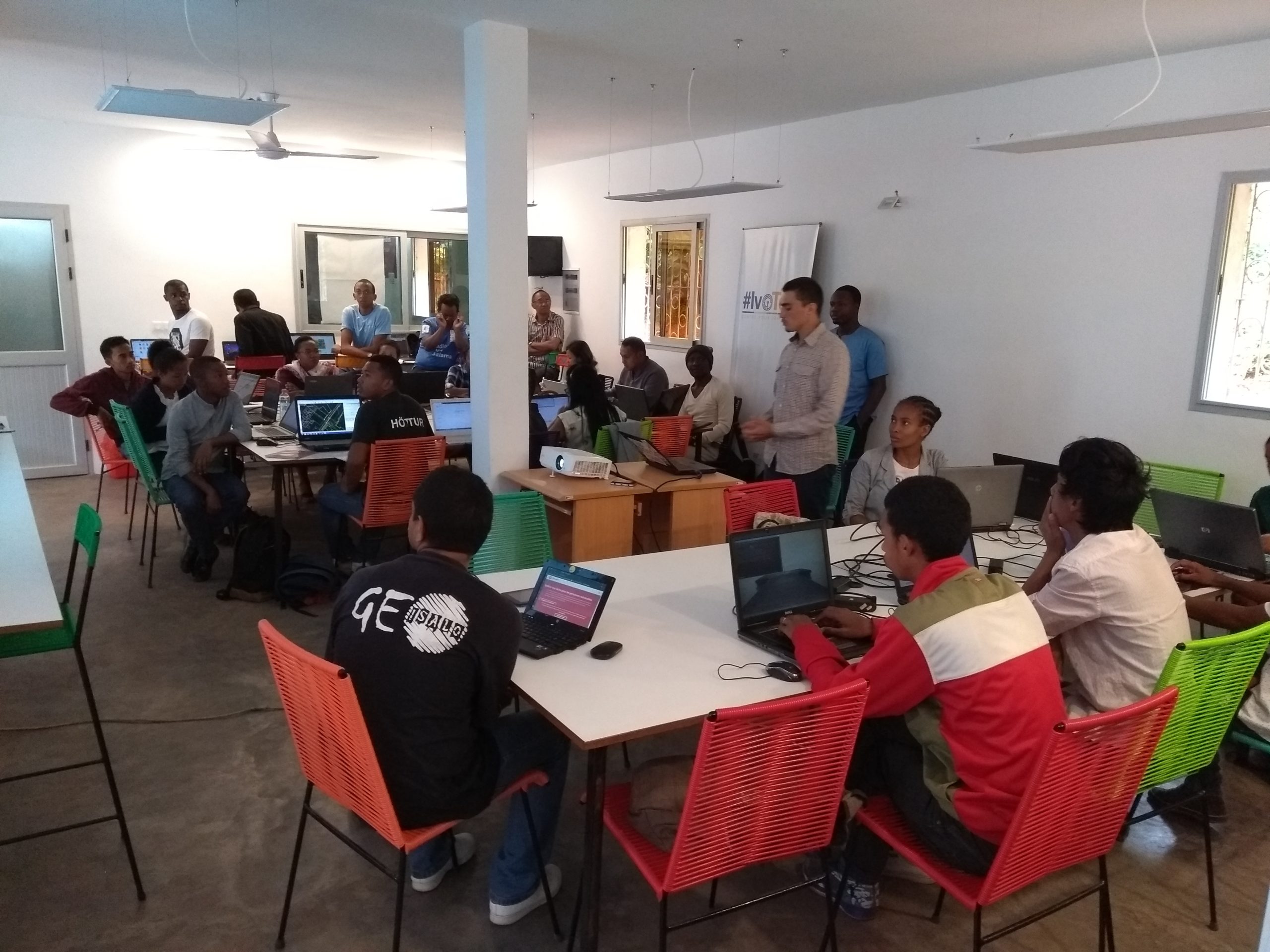
The second project focused on an urban outskirt of Antananarivo, to which the so-called “maptime” was dedicated at the start of each day during the second week of training. These two projects, with their different objectives and contexts (urban/rural), allowed participants to learn various techniques for mapping using satellite imagery. The workflow associated with this real-world case demonstrated to all participants the full value of contributing to a free digital commons such as OpenStreetMap.
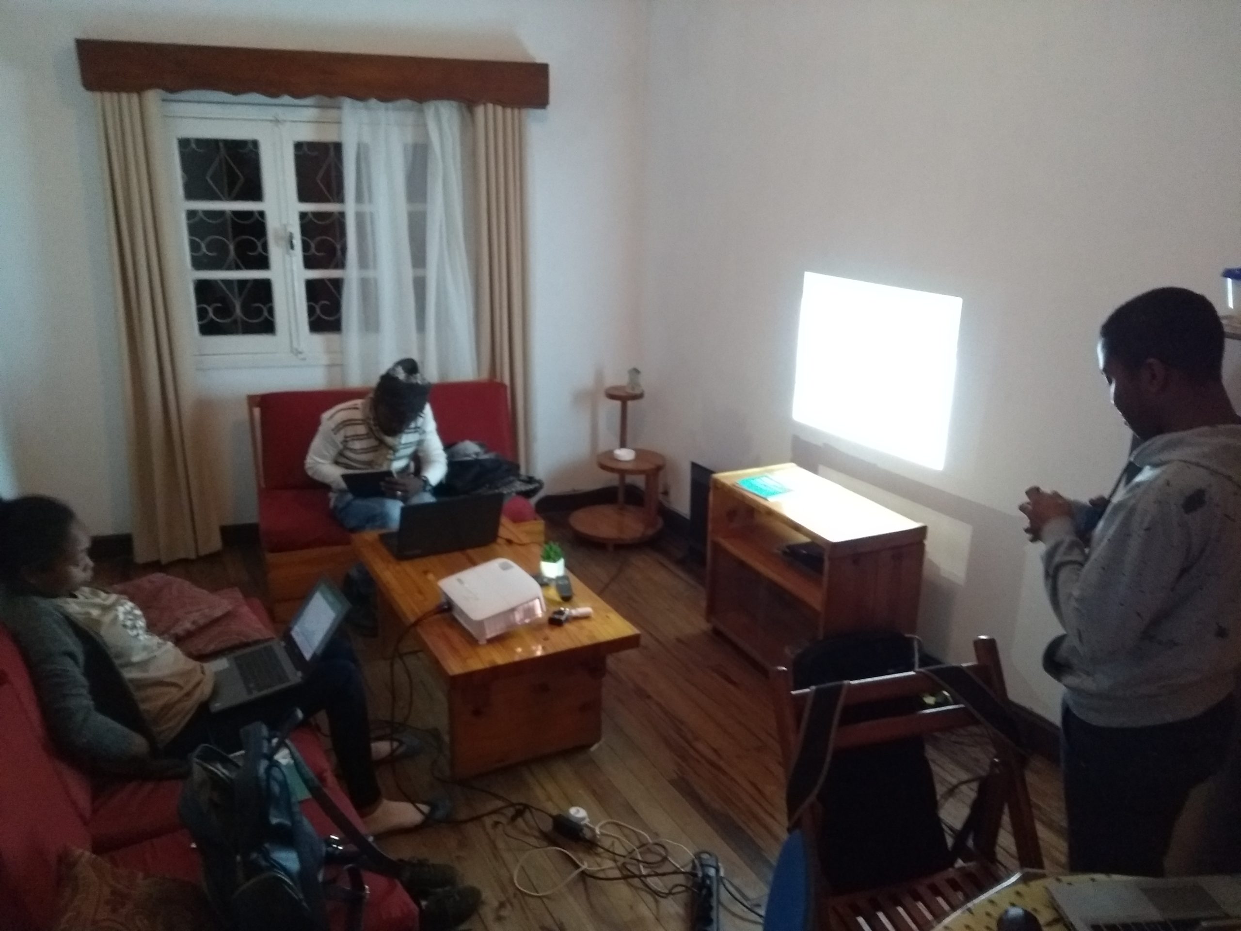
Internal training workshops for the team
At the training team’s lodging, late afternoons, some evenings, and days off were used to organize several internal training sessions covering the presentation of advanced layer styles and page layouts, the implementation of a data collection project using the OpenMapkit Android app, procedures and tips for installing various Linux distributions and user interfaces, and advanced features of LibreOffice Calc for managing database consolidation in relation to a glossary.
The text has been translated from French by DeepL.com (free version).
Location