Sunu Gox: Community-Based Urban Preliminary Assessment in Dakar
May 2017
Building on their longstanding presence in Senegal and their extensive community networks, GRET, Y en A Marre (YAM), and LLg have designed and are implementing the “Sunu Gox” project (“My Neighborhood” in Wolof, the most widely spoken language in Senegal), whose operational phase began in 2017.
An innovative approach to territorial pre-assessment carried out with grassroots organizations in the neighborhoods concerned
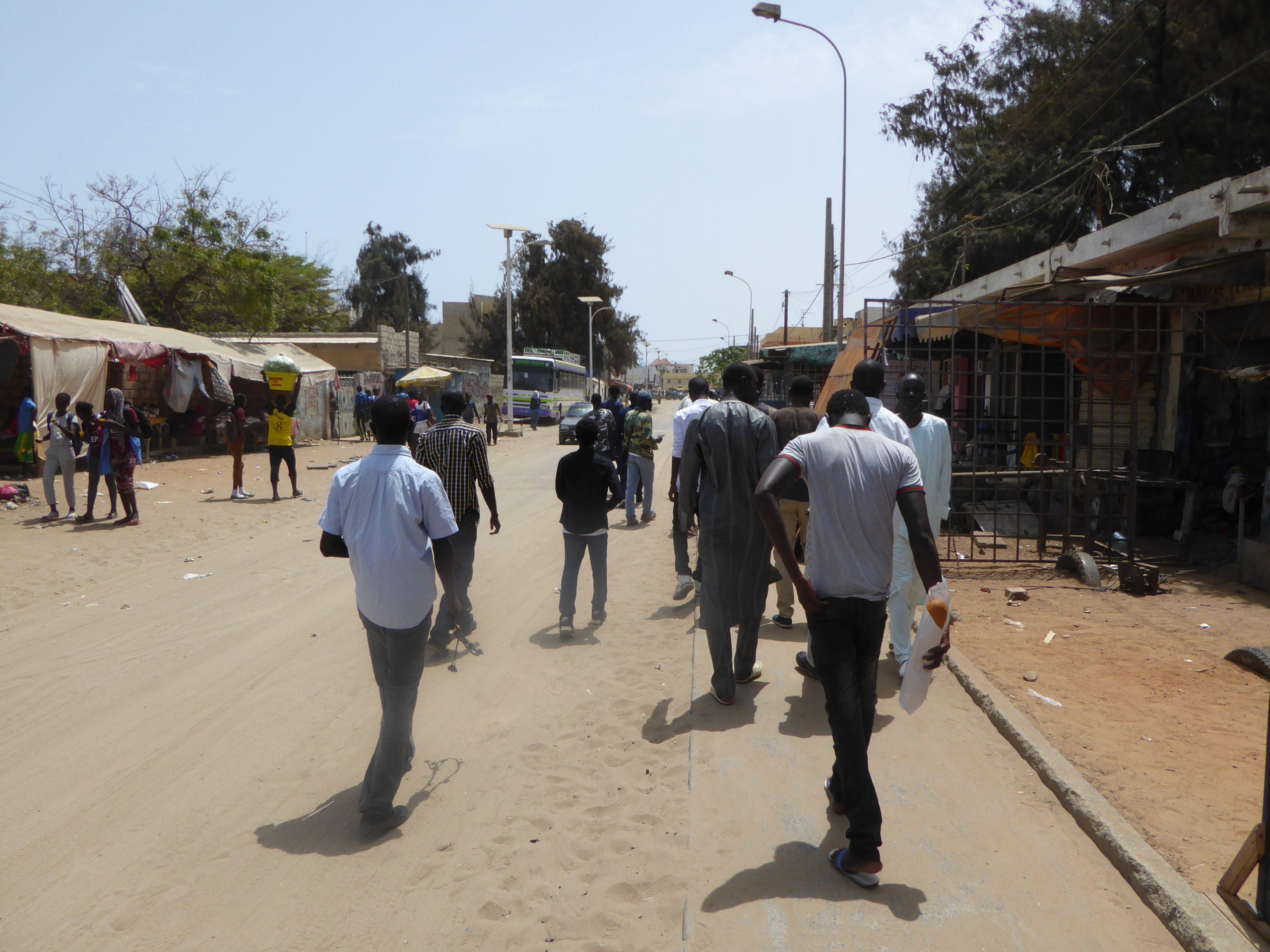
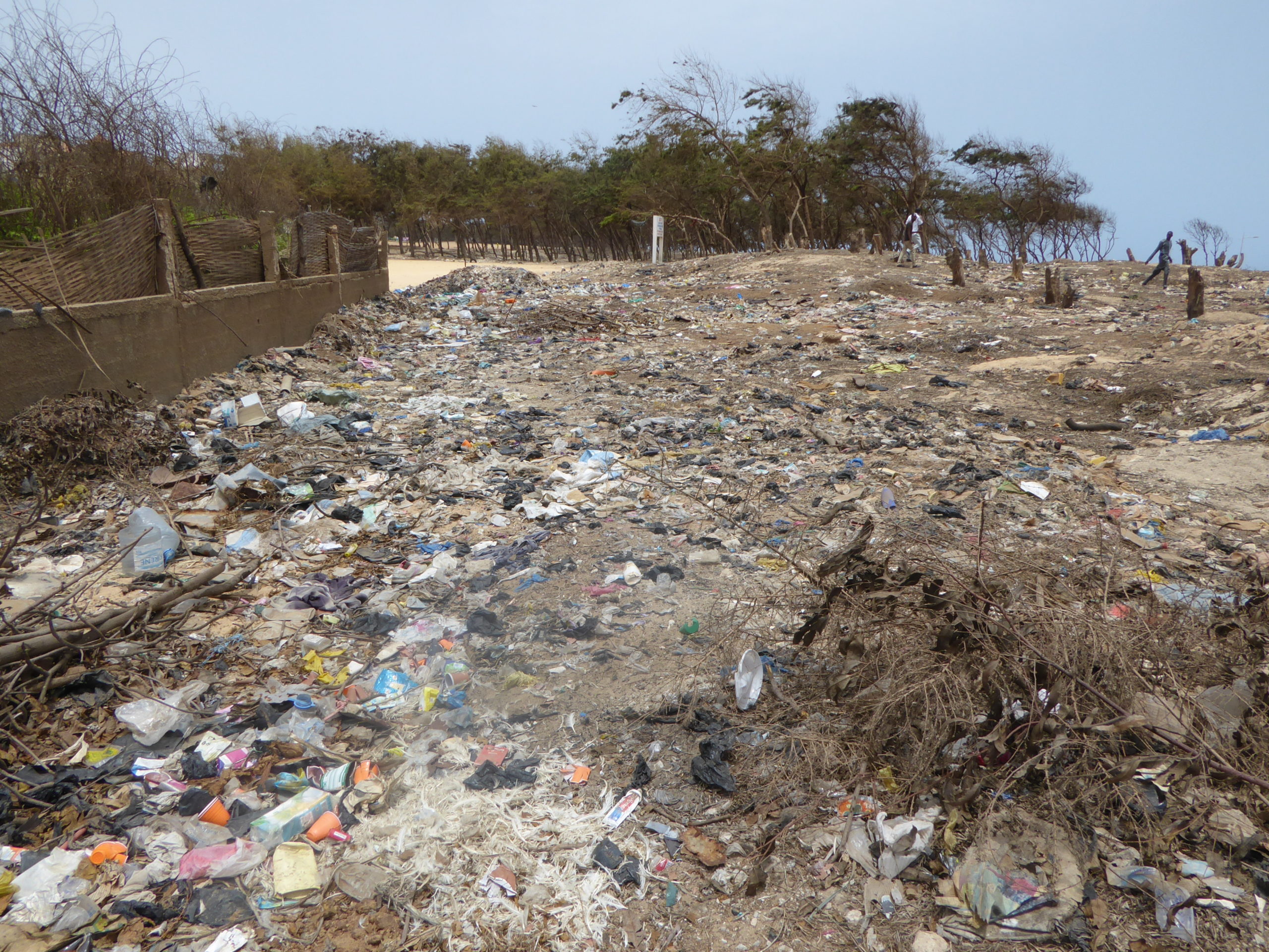
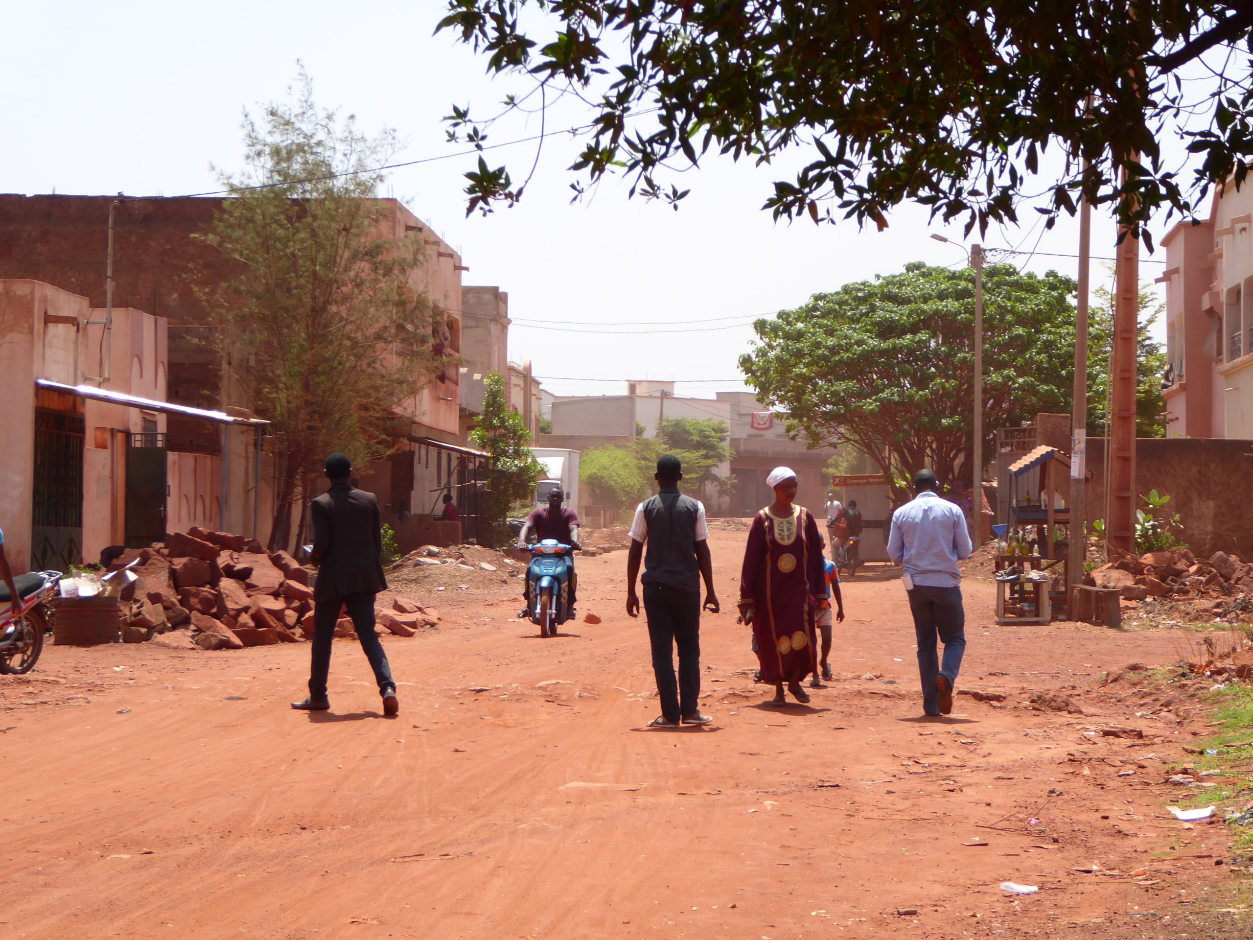
From April to July 2017, LLg and Senegalese mappers from the Projet EOF association and the local OpenStreetMap SN collective joined and supported the Sunu Gox project led by Y en A Marre Senegal in partnership with GRET to jointly carry out a territorial territorial pre-diagnosis based on an innovative, participatory, and learning-oriented approach aimed at involving residents of six selected areas in the Dakar metropolitan area: Wakhinane, Daroukhane, Dalifort, Nietty Mbar, Malika, and Bargny.
This collaborative diagnosis had three objectives:
- Identify the main challenges and opportunities for urban planning in the Sunu Gox target neighborhoods
- Enhance suburban youth’s understanding of their environment through the creation of maps
- Produce maps of the target neighborhoods to facilitate discussion, consultation, and advocacy on environmental issues
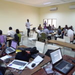
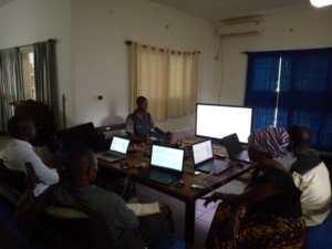
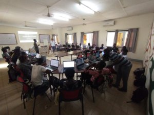
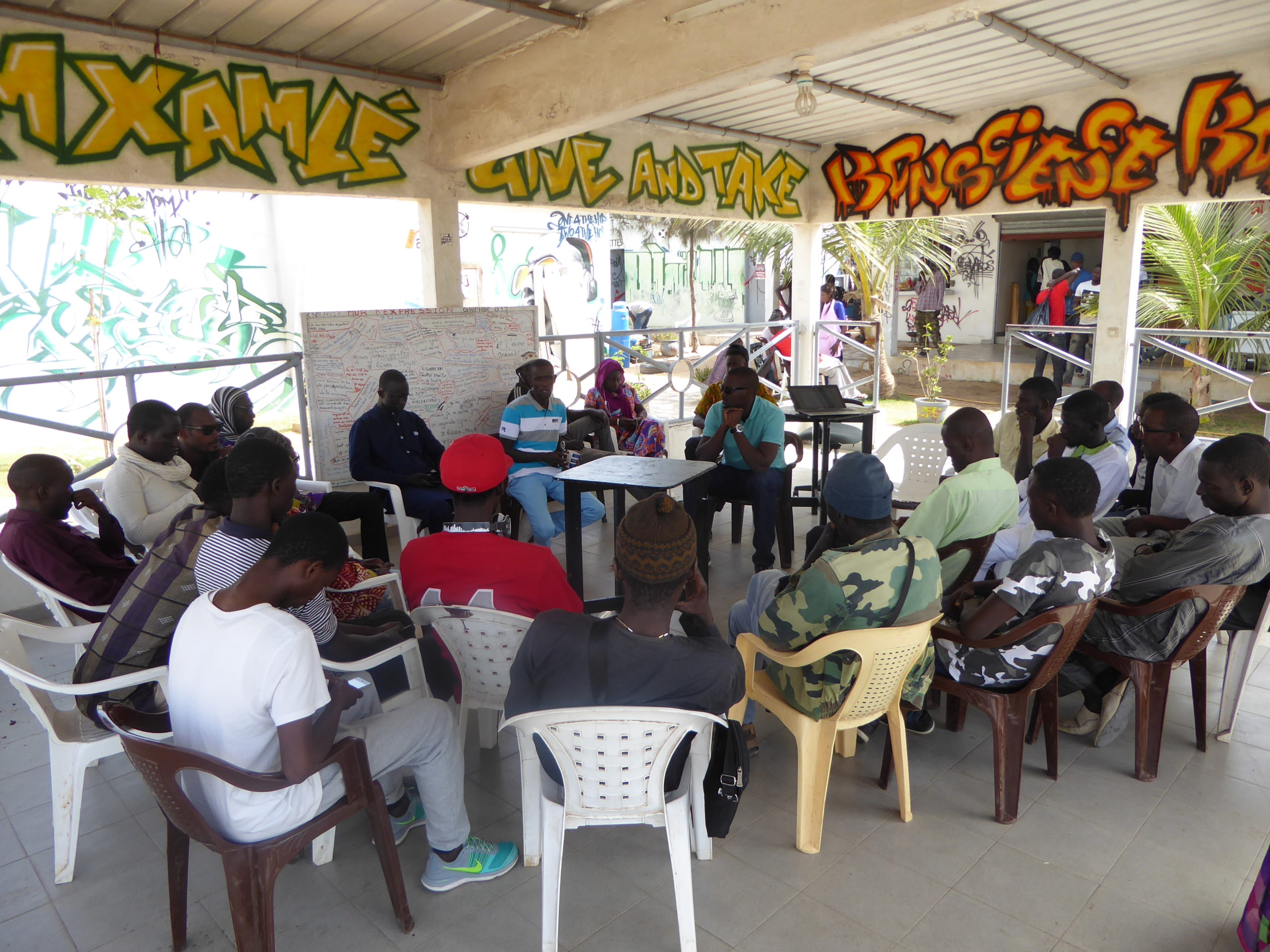
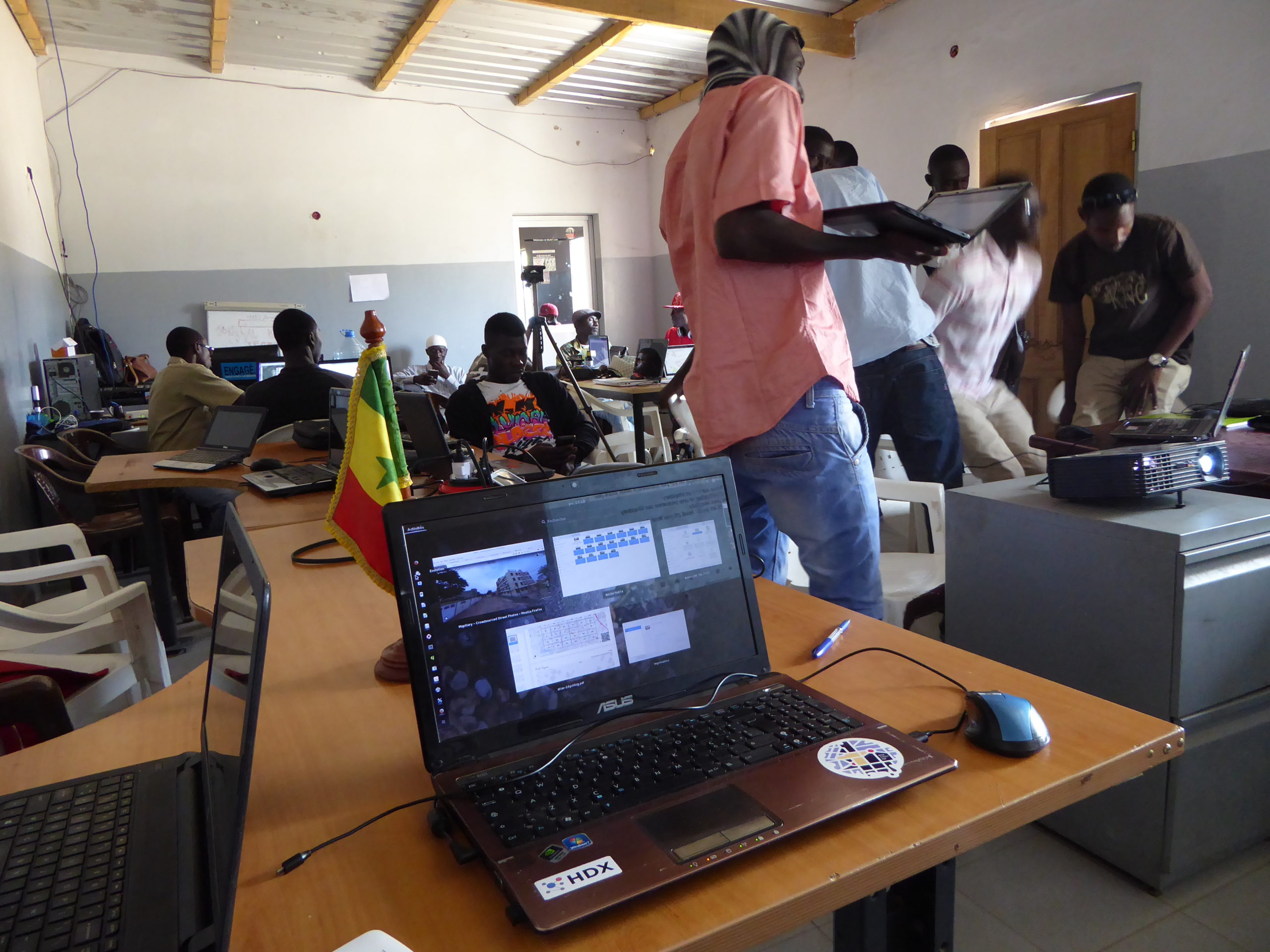
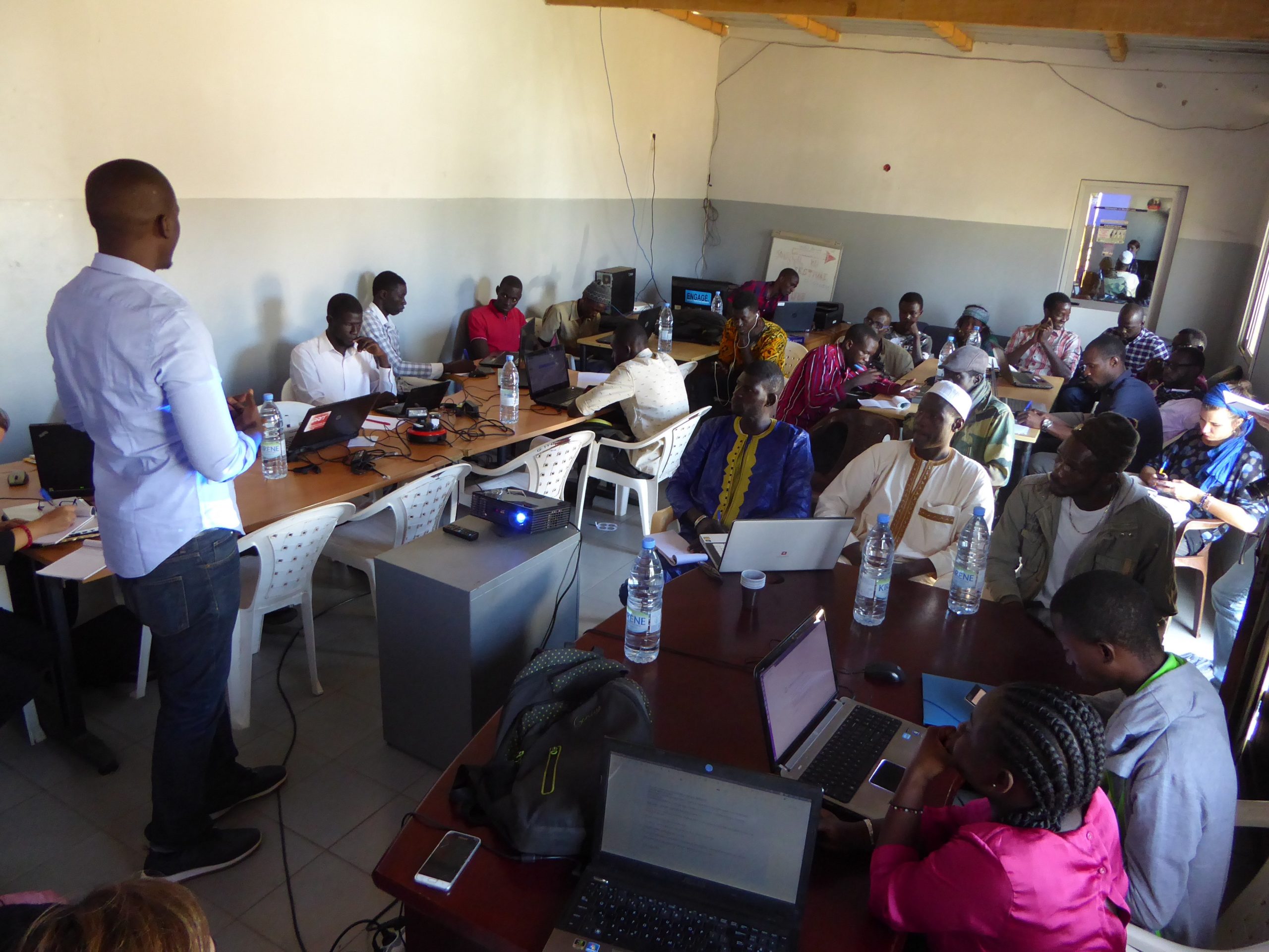
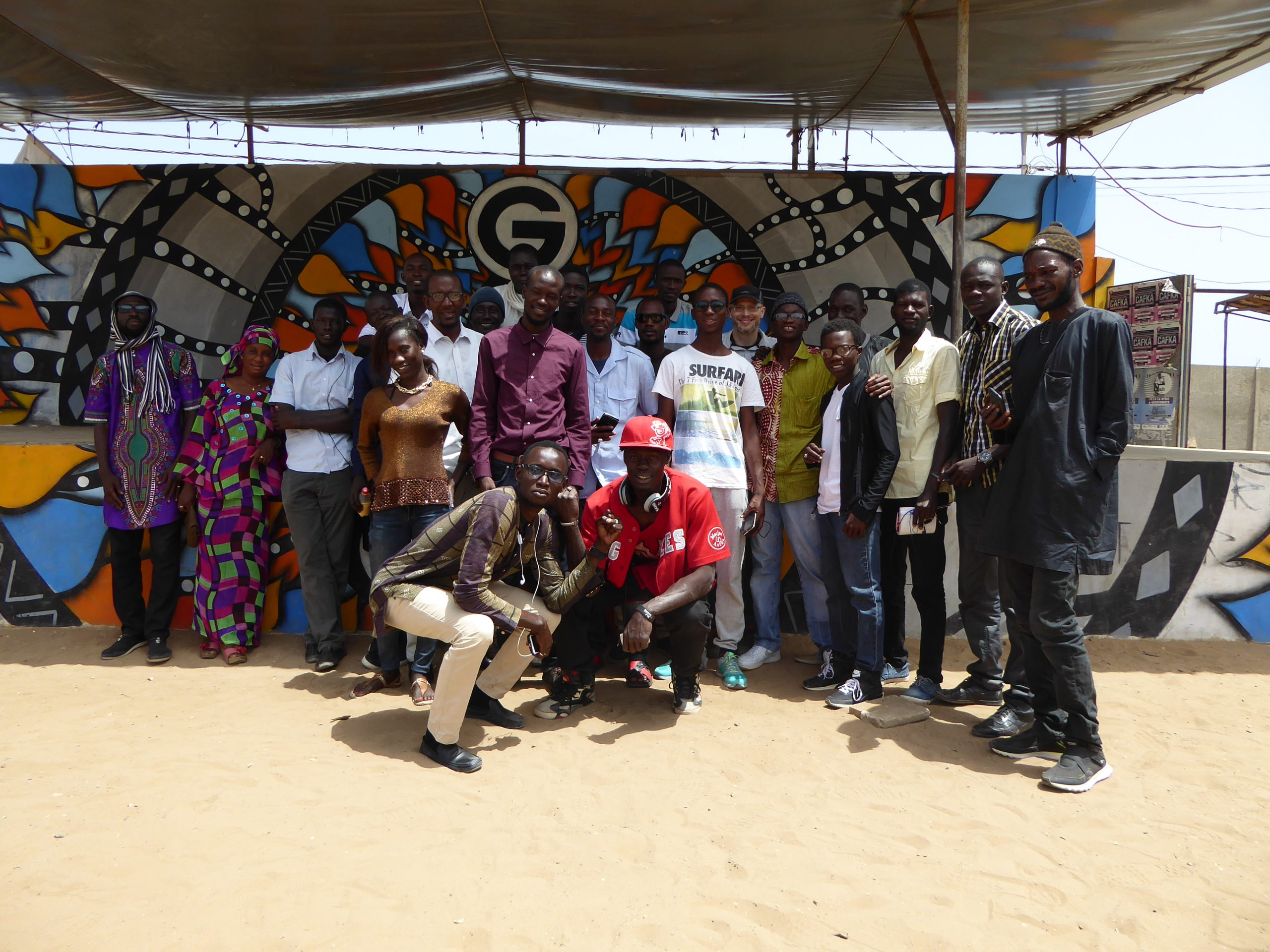
LLg and Senegalese mappers designed and implemented the community mapping component of the Sunu Gox territorial assessment phase, by training and mentoring 20 individuals from various community organizations so they could use OSM to build an open-source baseline dataset of their territories and focus on key vulnerability factors as part of a comprehensive environmental risk management analysis.
After an initial two-week training phase at the Guédiawaye Hip Hop Center, these 20 “new” mappers volunteered for two months to map their localities with the help of experienced Senegalese mappers supervised by LLg.
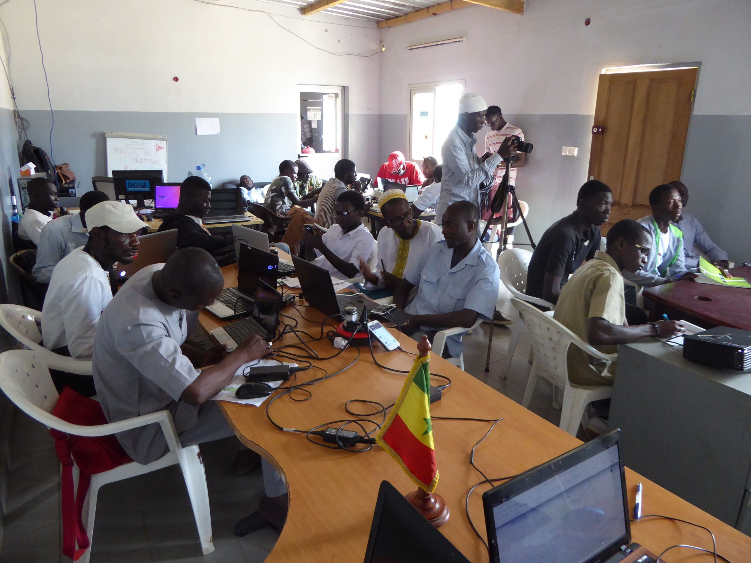
A one-week training workshop on diagnostic mapping using previously mapped data
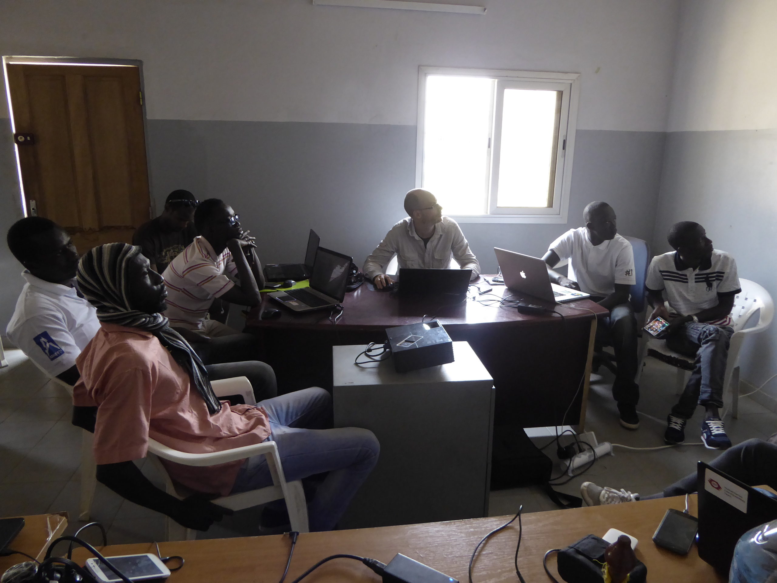
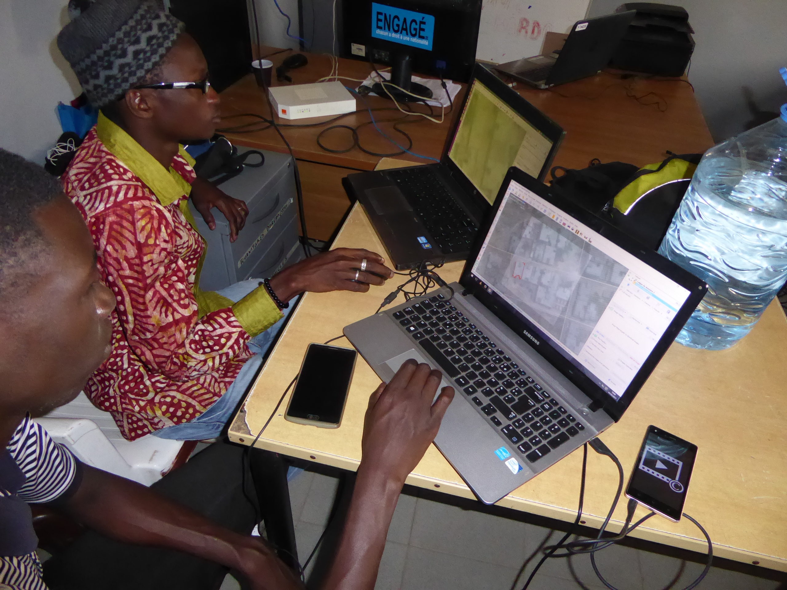
At the end of this volunteer mapping phase, LLg and the Senegalese mappers designed and organized a one-week training session on mapping and the open-source geographic information system (GIS) software QGIS, aimed at the ten most skilled new mappers from the Sunu Gox project. The goal of this QGIS workshop was to strengthen their mapping skills so they could transform the OSM data resulting from their two-month mapping phase into simple yet effective cartographic products for territorial pre-assessment at the neighborhood level. The trainees learned to reuse the mapping templates produced by LLg for these specific data visualization needs of the Sunu Gox project.
These neighborhood-level territorial pre-assessment maps included reference zones, areas at environmental risk, and infrastructure to identify priorities and opportunities for micro-local urban planning actions aimed at addressing environmental and water sanitation issues.
An initiative that won the support of participants and exceeded its initial objectives
This innovative approach to territorial analysis, which differs from traditional “off-site” processes led by foreign experts, helped build trust and commitment among the participants in Sunu Gox, who voluntarily committed to learning unfamiliar analysis and mapping techniques and successfully applied them to mapping their territories as part of the OSM project with the support of local members with whom they had forged bonds.
Overall, this project succeeded beyond its initial objectives – training, creation, sharing, and visualization of open data in support of a community-led territorial assessment jointly supported by YAM and GRET – by involving grassroots community members in OpenStreetMap, a free and dynamic open data platform for direct reuse to bring about concrete changes in poor neighborhoods. For Les Libres Géographes, this project was both one of the association’s first achievements directly resulting from the numerous training and community-building initiatives undertaken since 2012 in Senegal and a stimulating expression of how data and maps can go beyond their traditional roles to support concrete urban planning actions.
The text has been translated from French by DeepL.com (free version).
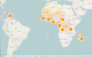
Location