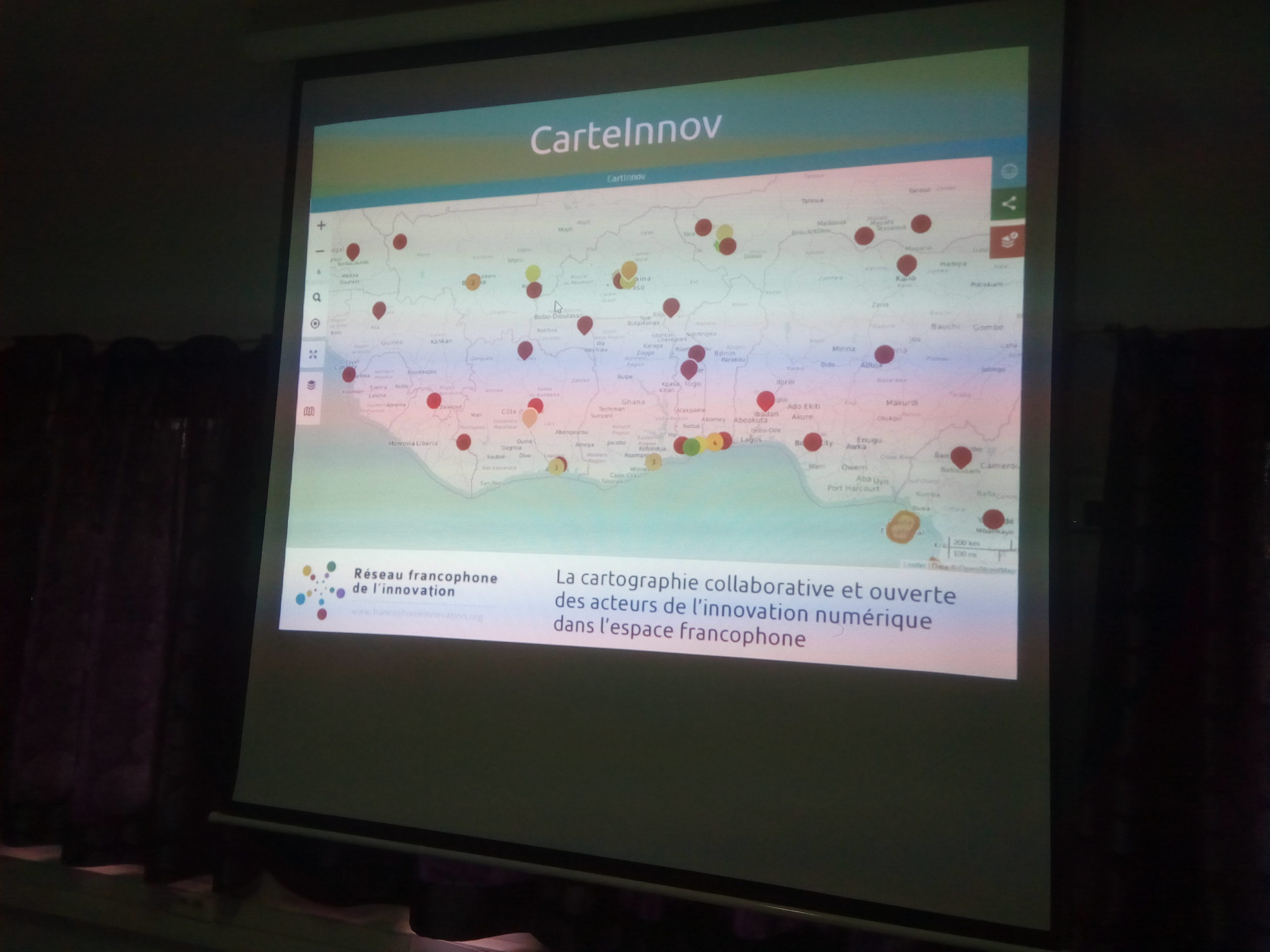
CarteInnov: Mapping Digital Innovation Locations
2016-2019
Recognizing the importance of the digital economy as a major driver of development and growth for its member countries, Organisation Internationale de la Francophonie (OIF) has commissioned Les Libres Géographes to create a collaborative and open map of digital stakeholders in the Francophone world:
- third places (collaborative workspaces such as: Fablabs, co-creation spaces, etc.);
- incubators (support structures such as: incubators, business incubators, chambers of commerce, etc.);
- educational institutions (universities, etc.);
- community networks (OpenStreetMap, free software, etc.);
- public institutions (international organizations, development aid agencies, etc.).
Launched in 2016 in seven French-speaking West African countries (Benin, Burkina Faso, Ivory Coast, Mali, Niger, Senegal, Togo), the CarteInnov project expanded by 2019 to include nine additional French-speaking countries in West Africa (Ghana, Guinea), Central Africa (Chad, Cameroon, Gabon, Congo-Brazzaville, Democratic Republic of the Congo, and Madagascar), and the Caribbean (Haiti).
CarteInnov stands out for:
- its reliance on open-source software solutions and OpenStreetMap open data
- its data input from the field via national representatives – active members of their country’s OpenStreetMap community – who both feed the map with data collected in the field and promote the project
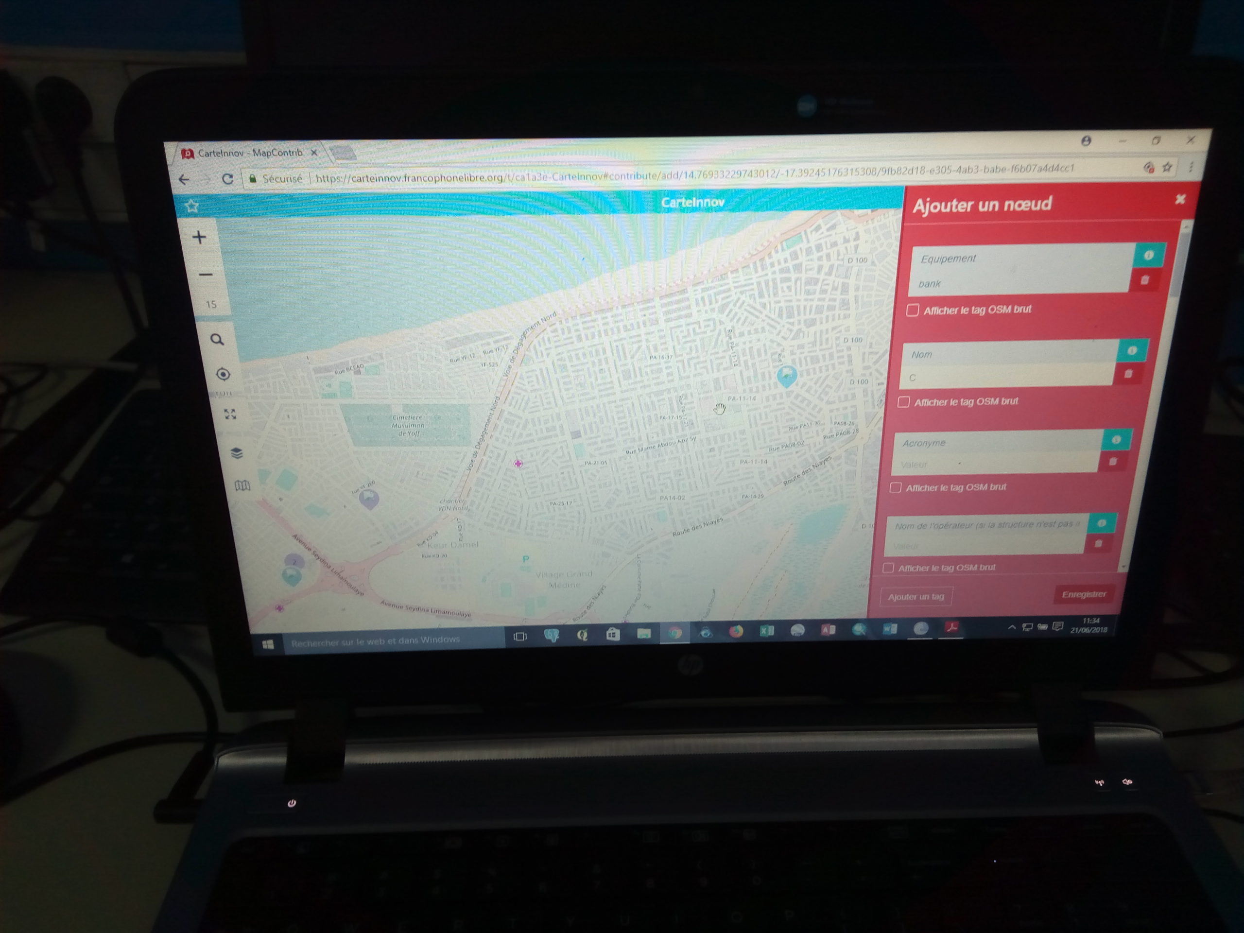
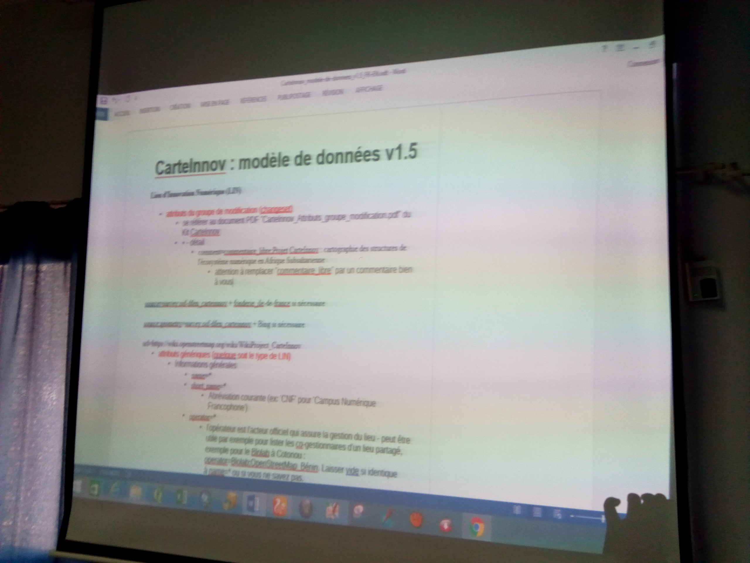
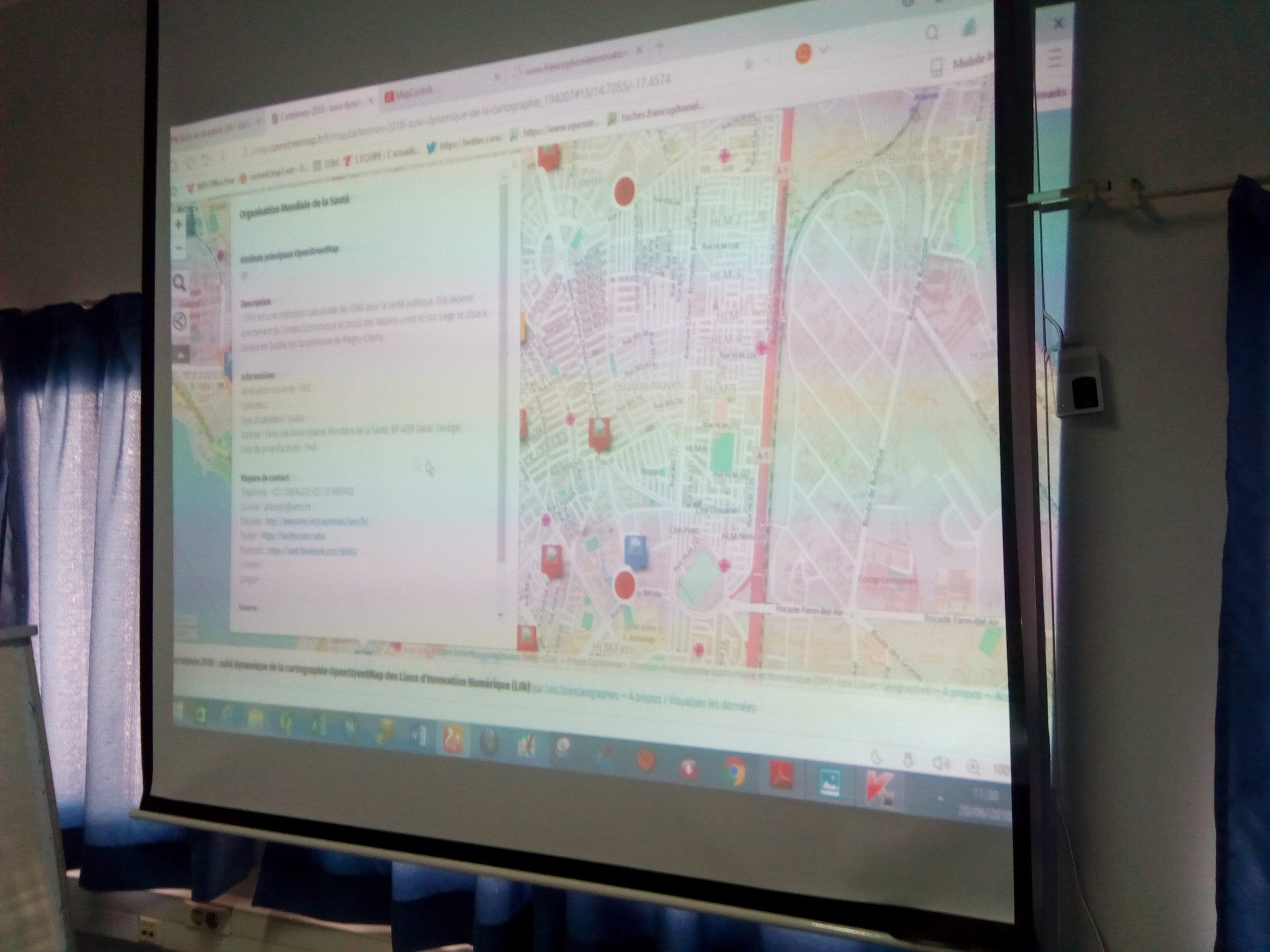
Rooted in the free software paradigm, the CarteInnov project relies exclusively on free software solutions for the creation and visualization of data related to Digital Innovation Hubs (called LIN in Freench for “Lieux d’Innovation Numérique”). Data creation utilizes the geographic data editing software (editors) of the OpenStreetMap project, all distributed under free licenses, and all LIN attribute data is hosted in the OSM database. The MapContrib editor, which underwent significant development as part of the CarteInnov project in 2016 and 2018, served as the project’s primary editor.
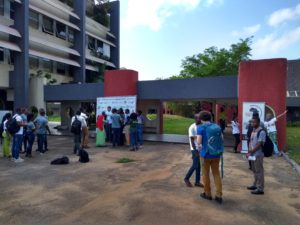
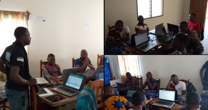
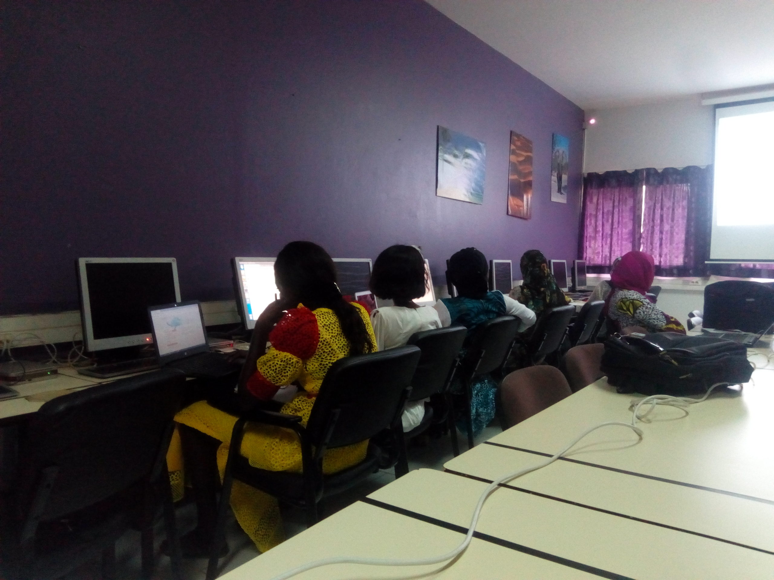
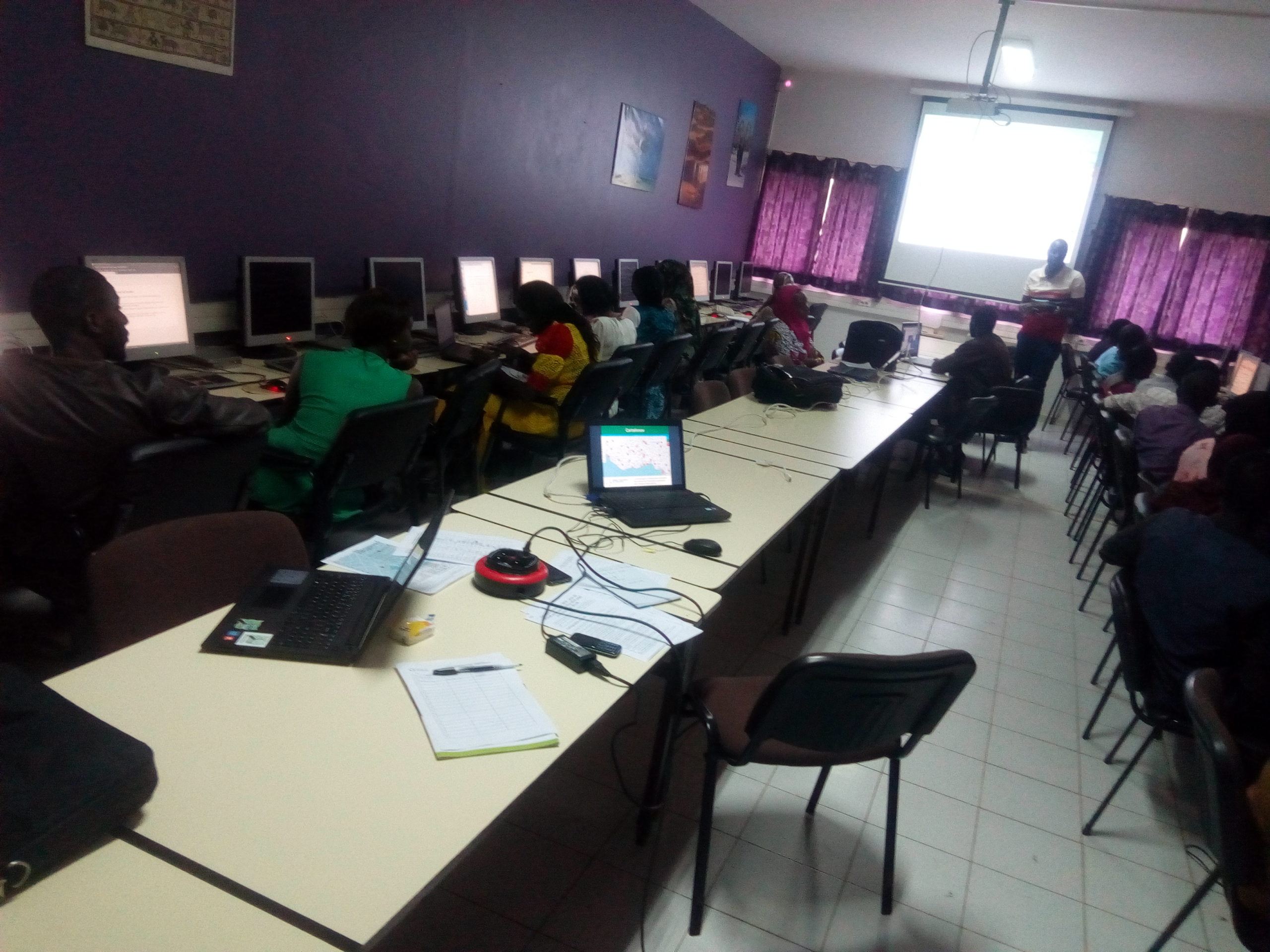
The map is populated from the field through the efforts of national coordinators in the 16 countries participating in the project:
- collecting contact information for digital stakeholders in order to meet with them and gather the necessary information (location, attributes, photographs, logo) to map LINs in OpenStreetMap via MapContrib (now defunct)
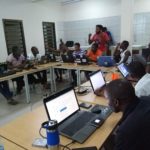
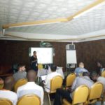
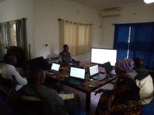
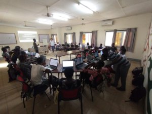
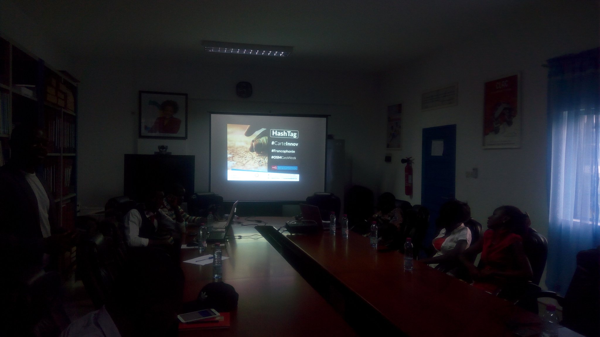
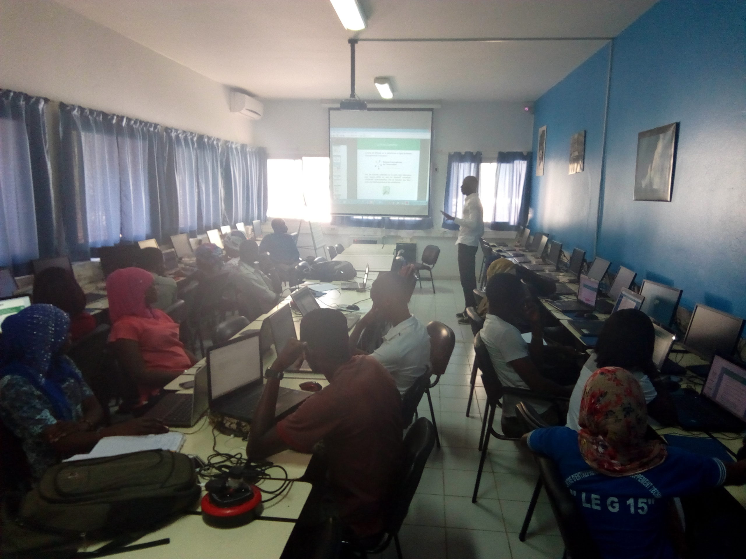
- Organizing awareness-raising and training workshops for LIN leaders and members of the local OpenStreetMap community, with the goal of raising awareness of the map and the MapContrib editor – and ideally ensuring participants become proficient with it – so that these groups can make additions and updates themselves
Once this project was completed in 2019, since the data is hosted on OpenStreetMap, it remained accessible to everyone for both viewing and editing, allowing it to be updated or expanded.
The text has been translated from French by DeepL.com (free version).

Location