Capacity Building in OSM Mapping and Road Accessibility in Areas Affected by Hurricane Matthew in Haiti
Oct 2016

Continued mapping efforts to support affected areas from Haiti and abroad
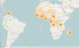
After Hurricane Matthew struck the island of Hispaniola on October 4, 2016, Haitian OSM coordinators mobilized in various parts of the country (Port-au-Prince, Saint-Marc, and Cap-Haïtien) to produce geographic data using tools from the OpenStreetMap ecosystem, with remote support and assistance from a team of French-speaking experts from France, Côte d’Ivoire, Burkina Faso, Togo, Benin, Mali, Niger, and Senegal – mobilized by the OIF for the OSM and Open Geomatics capacity-building initiative in Bouaké (Côte d’Ivoire). They were able to participate in the collaborative tasks set up on the site taches.francophonelibre.org, as well as create their own tasks to add.
At the conclusion of this OSM mapping effort of the affected areas – carried out remotely from Port-au-Prince, Saint-Marc, and Limonade in the north-northeast – as well as from Bouaké, Abidjan, and West Africa, some Haitian OSM mappers regretted that, due to a lack of resources and the experience required to navigate humanitarian crisis contexts, that they were unable to act more directly on the ground in the areas most affected by Hurricane Matthew and thus implement both programs for collecting and creating OSM geographic data or open data relevant to the humanitarian situation, as well as the underlying coordination, information, advocacy, and communication efforts necessary for their implementation under the specific conditions of a humanitarian crisis response.
The launch of a volunteer initiative funded by the OIF-DFEN
Based on this observation, the Les Libres Géographes collective proposed a volunteer initiative to train these communities in crisis response, which could be followed by a deployment to affected areas – provided that a humanitarian organization is interested in producing open data in the field and integrates the OSM team into its operations, so that this pilot initiative can take place safely. The prospective partners – the Department of Economic and Digital Francophonie (DFEN) of the International Organisation of La Francophonie (OIF) for funding, and the association Haiti Communitere (HC) for institutional support – enthusiastically welcomed this proposed three-week volunteer deployment, which is the time available until the SysInfoLibre event in Abidjan – also designed in collaboration with the OIF – scheduled to take place from November 11 to 20.
The capacity-building activities in open-source digital mapping (OSM) that Haïti Communitere (HC) implemented in 2016 through this pilot project were organized into two distinct operational phases, involving three international experts in the field: These phases were designed to support and consolidate the pilot initiatives in support of the OSM project undertaken in sub-Saharan Africa at the initiative of and with the support of the OIF-DFEN since the summer of 2013, and since 2014 for Haiti, and to ensure they were relevant and capable of having an impact during the humanitarian crisis triggered by Hurricane Matthew’s passage over the island.
An initial phase to consolidate the knowledge of local communities
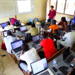
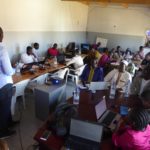
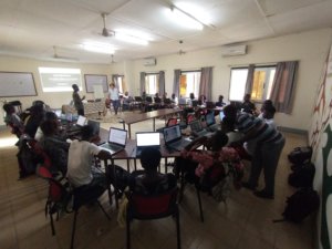
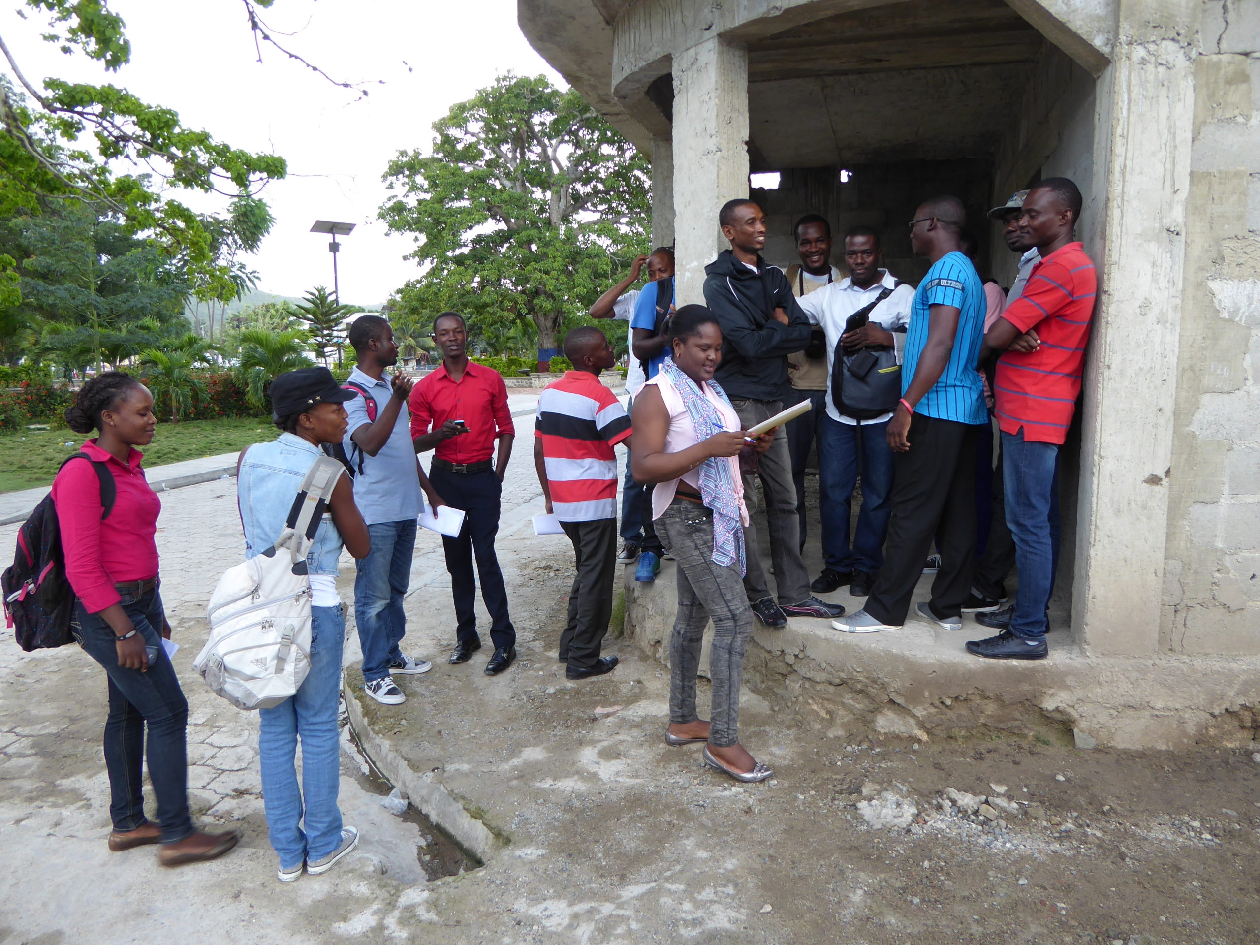
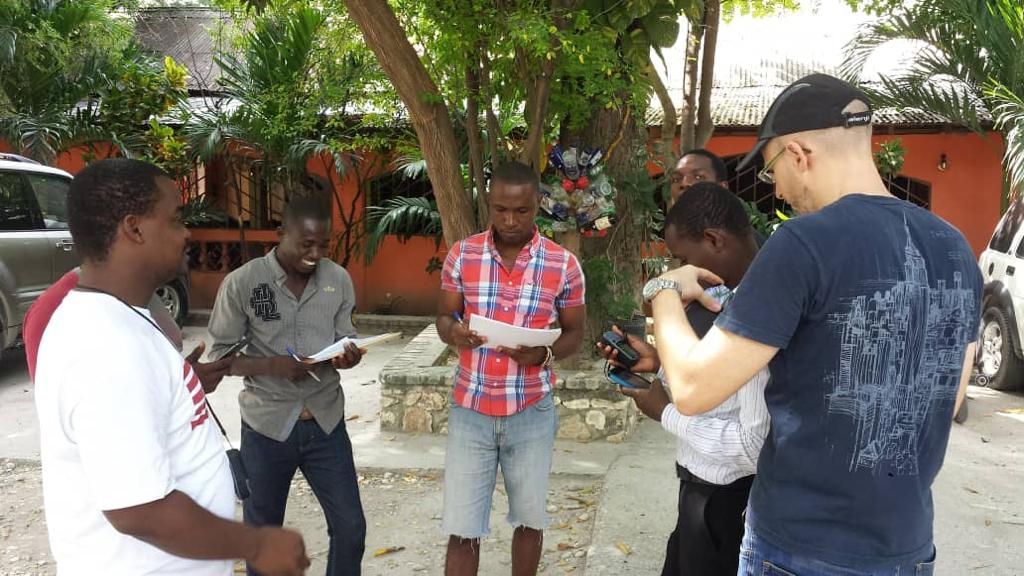
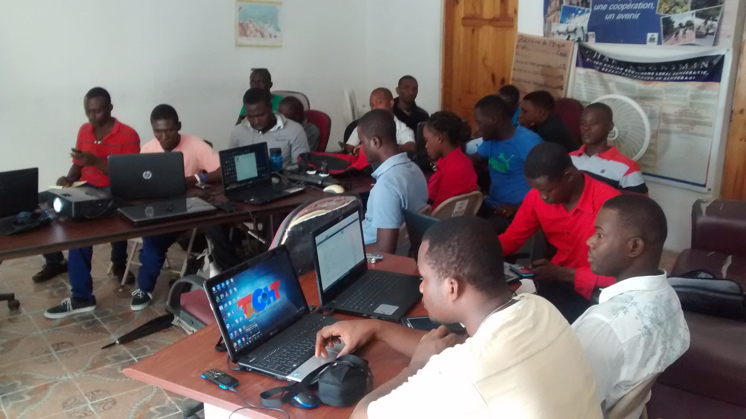
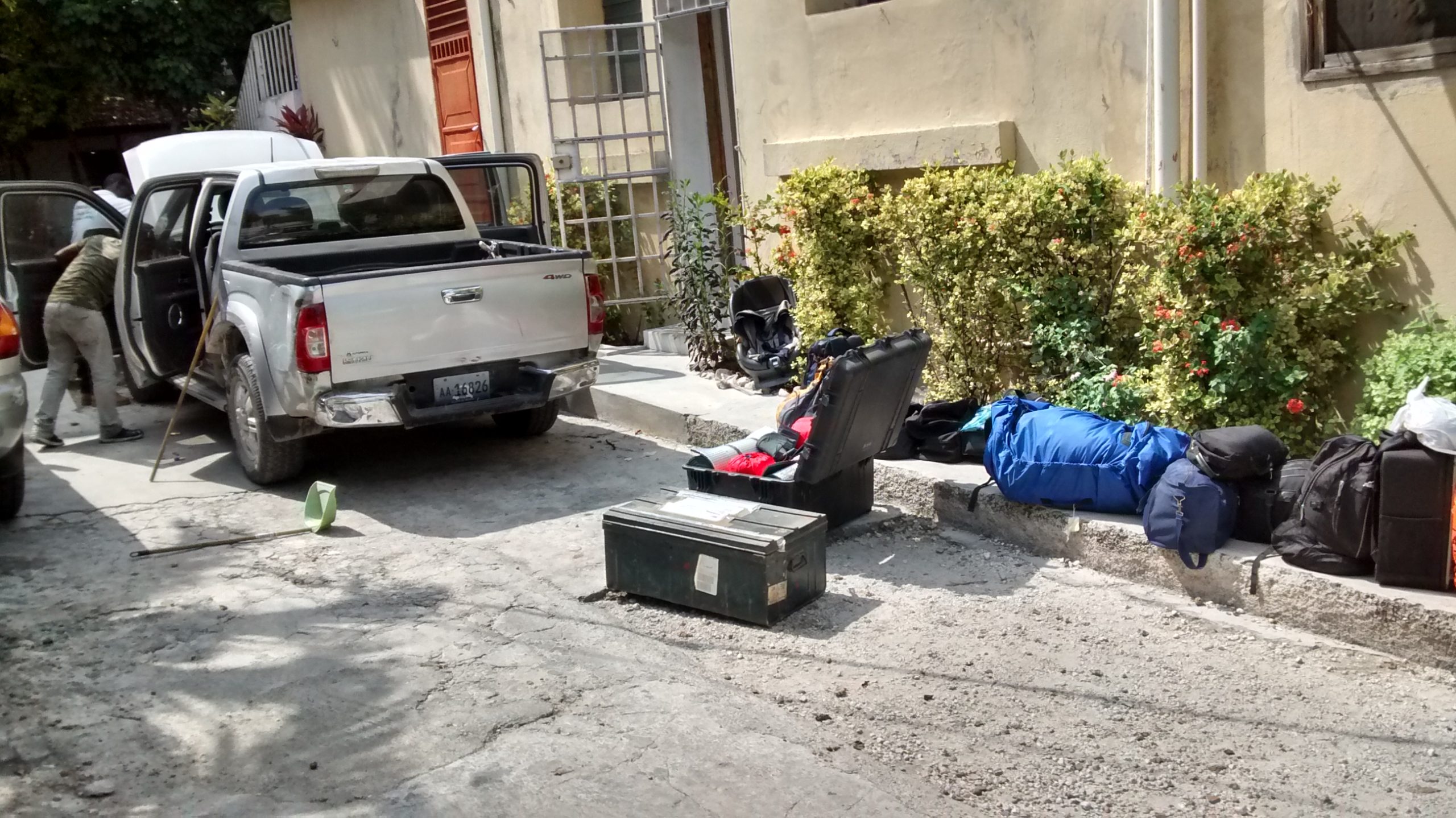
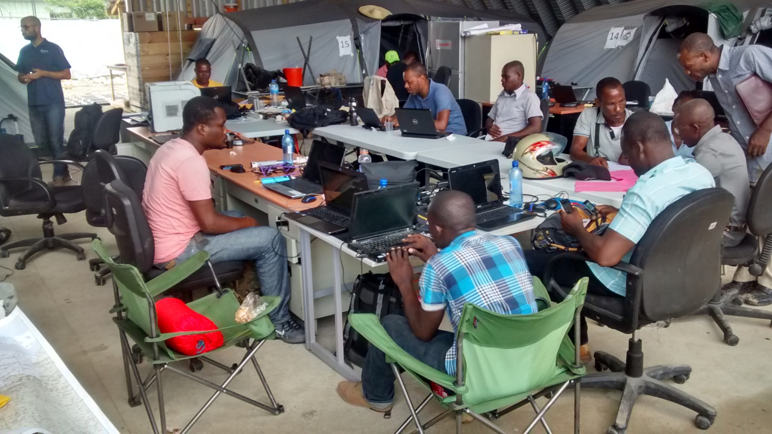
The first phase of the activities planned as part of the OIF AyitiSiklonMatye initiative focused on strengthening these OSM capacities in Haiti through a collective of OSM mappers with diverse areas of expertise (including a core group of OSM mappers capable of working independently in development aid or reconstruction contexts) who have access to the HC association’s logistics platform (a lab and a set of computer equipment) and a network of community partners (including HC), within the very specific context of a humanitarian crisis response. It spanned two weeks, beginning with a preparation period in Port-au-Prince, followed by trips to Saint-Marc and then Limonade to facilitate meetings and training sessions with the OSM communities.
A second phase focused on practical application as part of an inventory of the affected road network
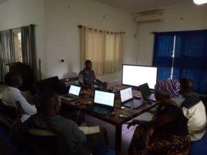
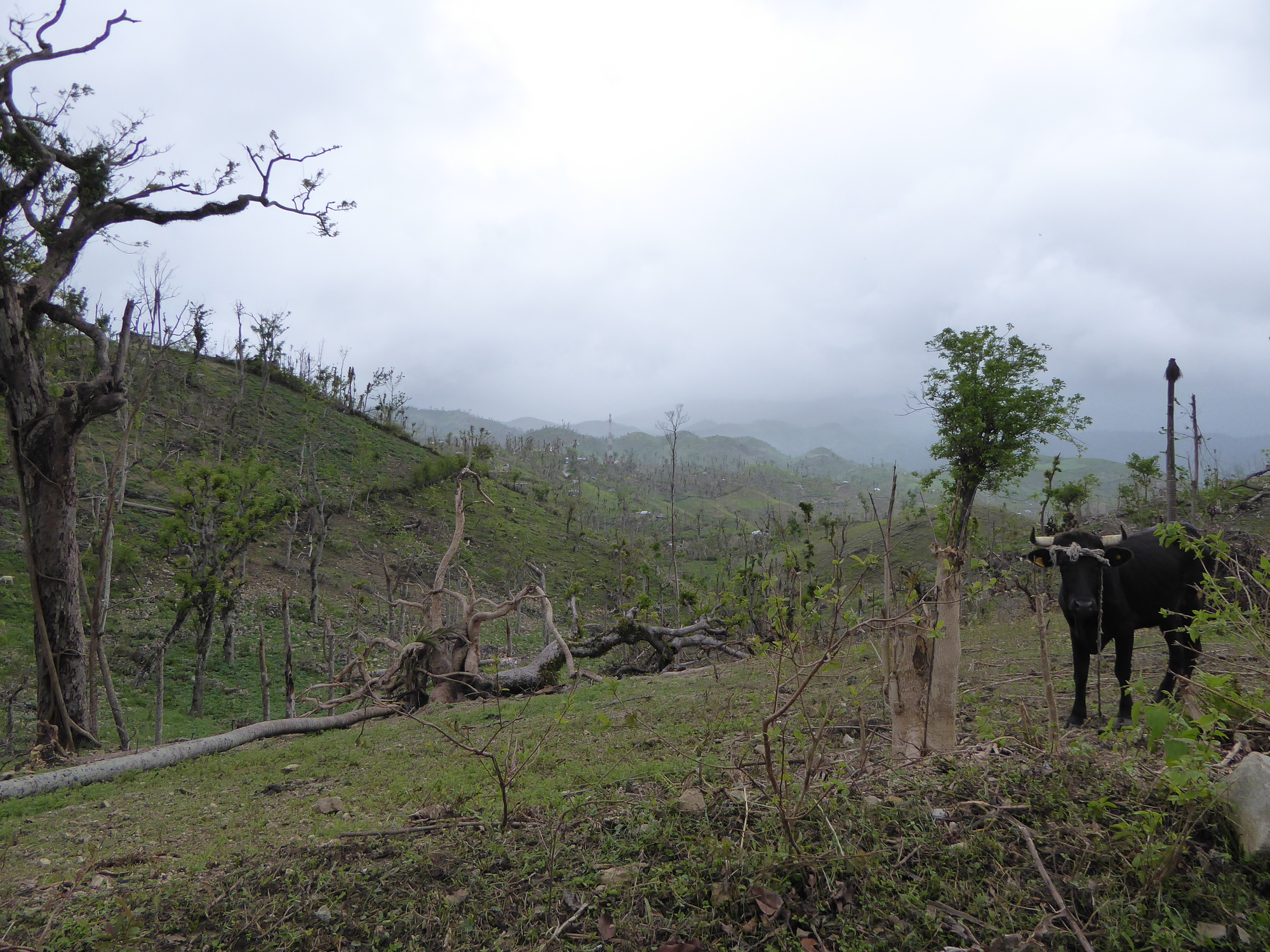
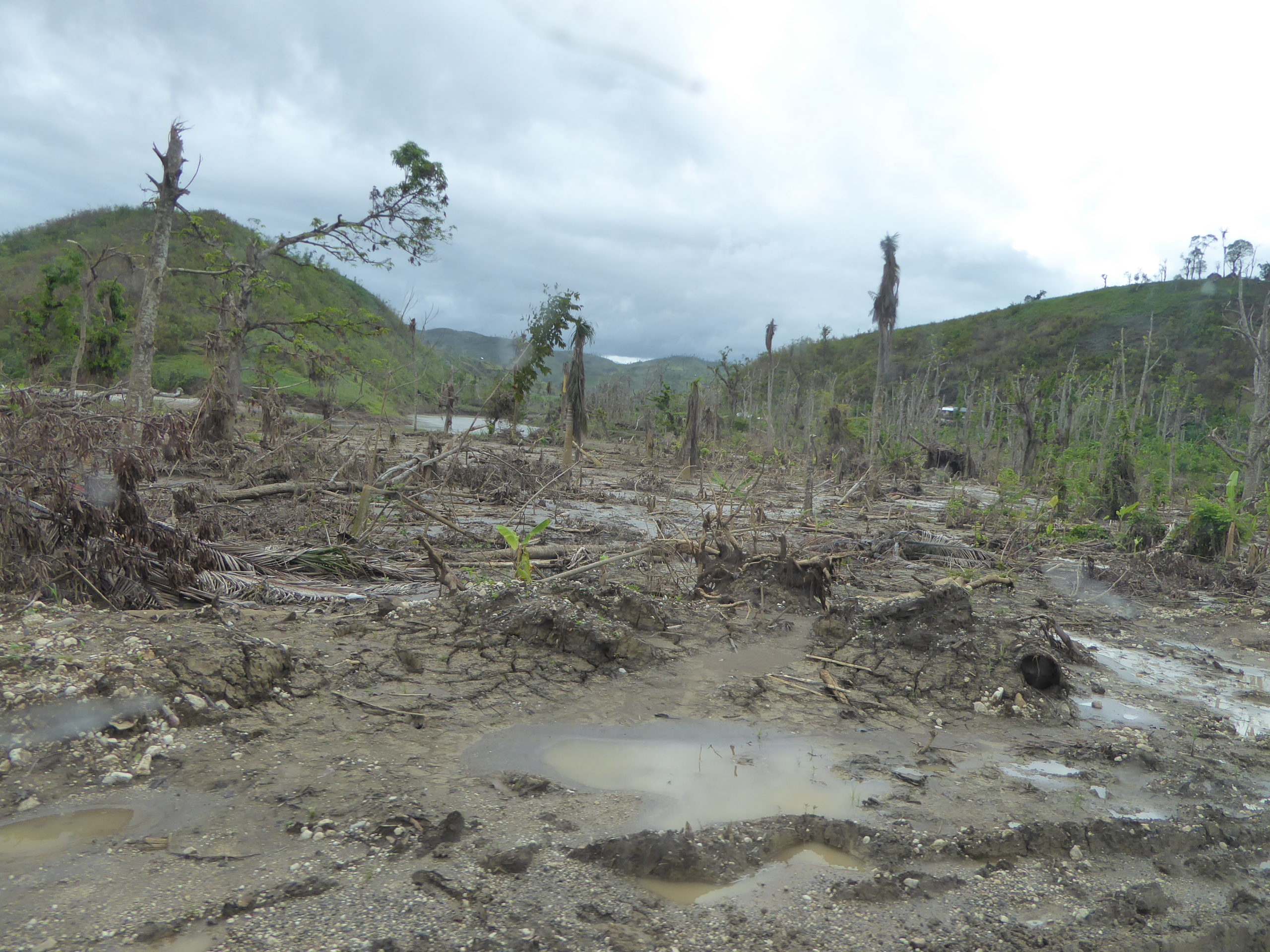
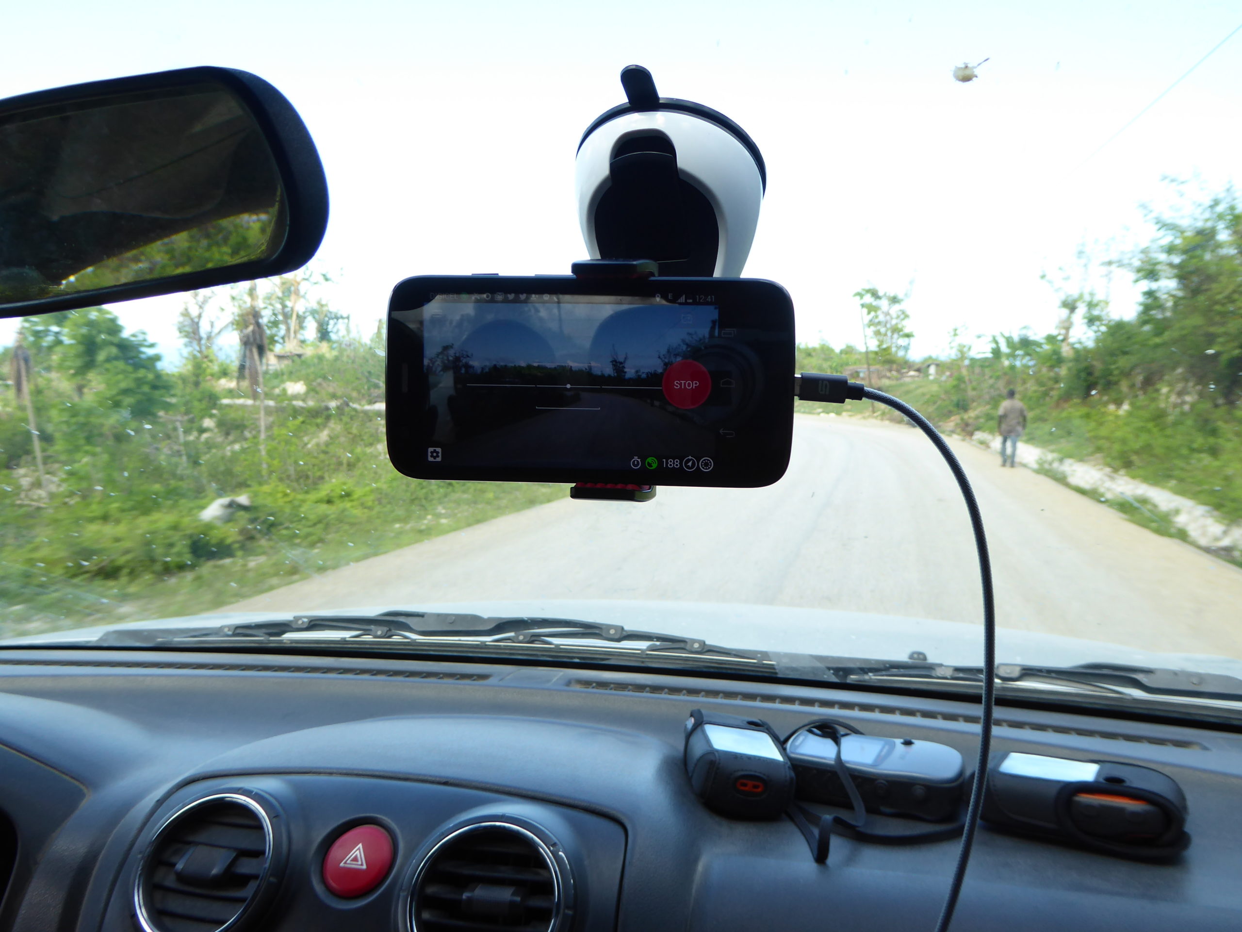
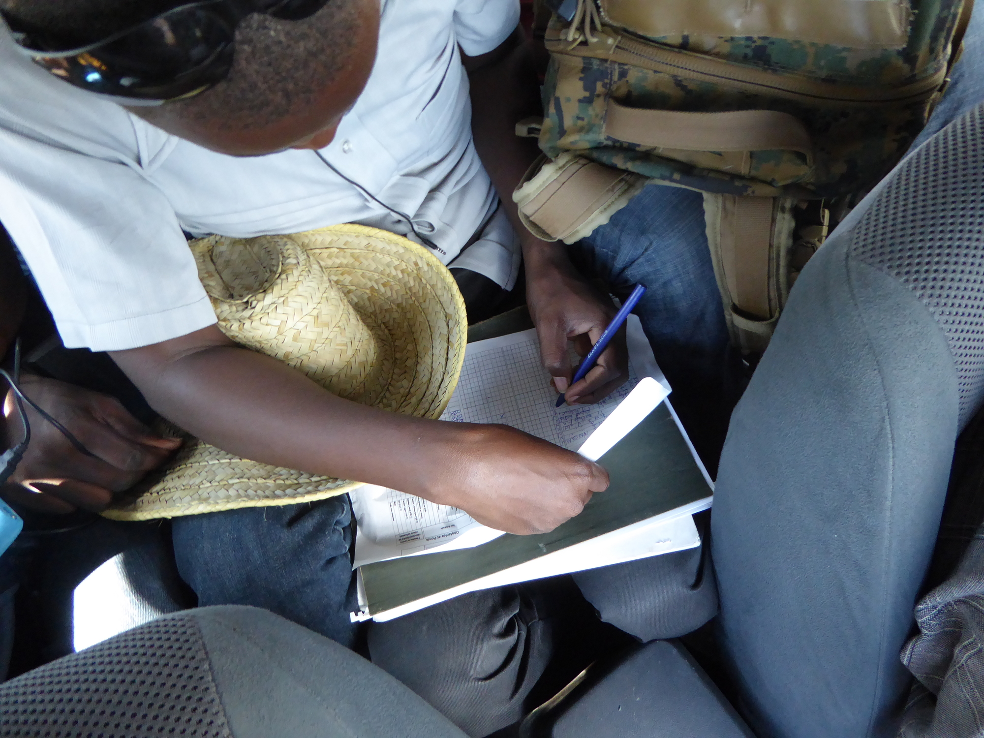
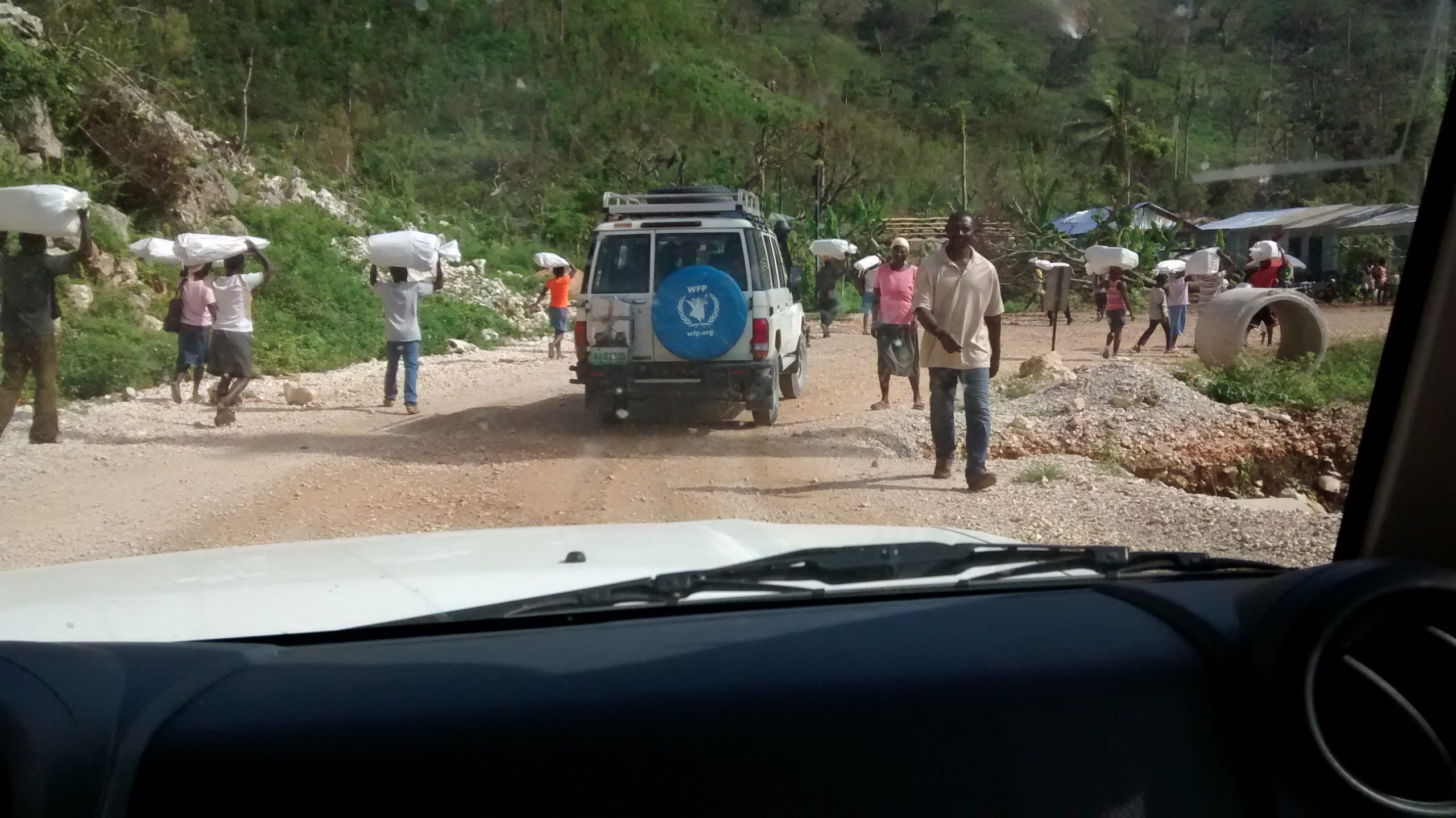
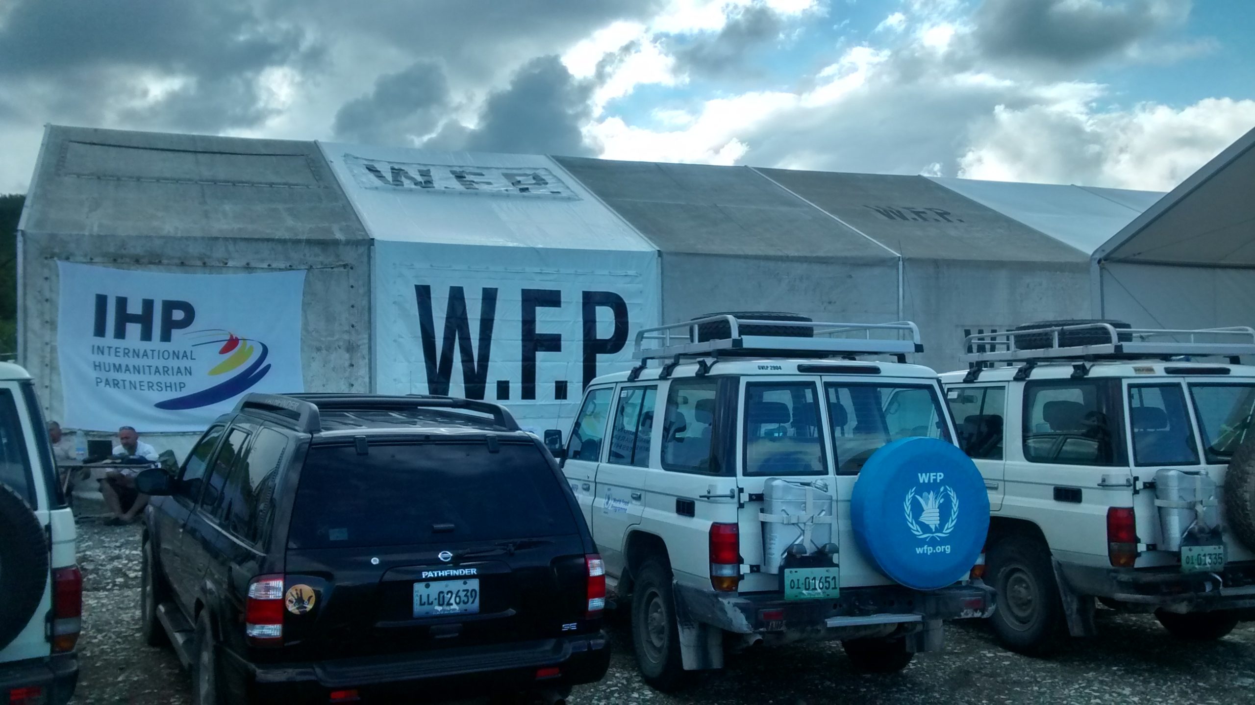
The second phase of activities sought to establish a pilot program to specifically support and strengthen – during a humanitarian emergency – this group of experienced Haitian OpenStreetMap mappers capable of carrying out, over time, development aid or risk and disaster preparedness activities based on the activities based on the principle of capacity-building initiatives that the DFEN supports directly or through its partners, with the support of experts from Les Libres Géographes (LLg) working group, the Projet Espace OSM Francophone (Projet EOF) association, as well as mappers from OSM associations and informal groups in Haiti and West African countries. Launched shortly after the initial deployment through several meetings in Port-au-Prince, this effort took the form of a volunteer-led assessment of the road network’s logistical capacity (Logistic Cluster Assessment or LCA), conducted at the World Food Programme’s regional office in Jérémie and supported remotely by the aforementioned collectives.
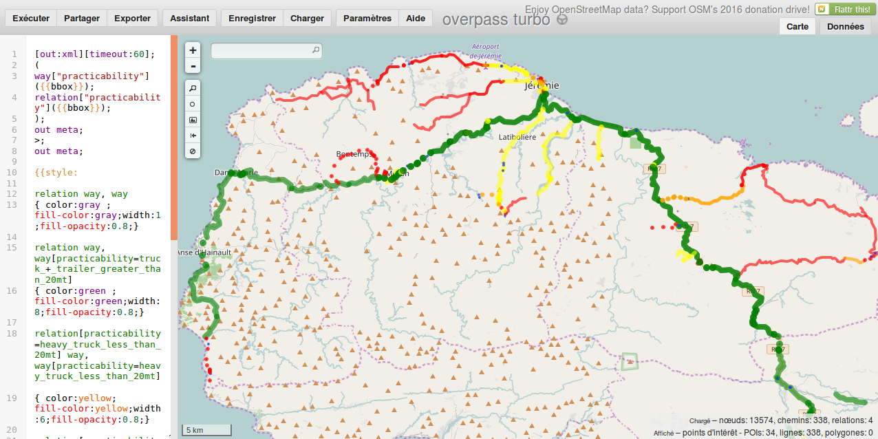
This assessment, conducted by five people divided into two teams, involved photographing the routes traveled using the Mapillary app (for example, the section between Latibolière and Prévilié) and to map their passability in OpenStreetMap so that up-to-date maps could be easily created by querying the OSM database via this Overpass query:
For more details about this deployment, see the blog post dedicated to it.
The text has been translated from French by DeepL.com (free version).
Location