Technical and Organizational Workshops in Bouaké
Oct 2016
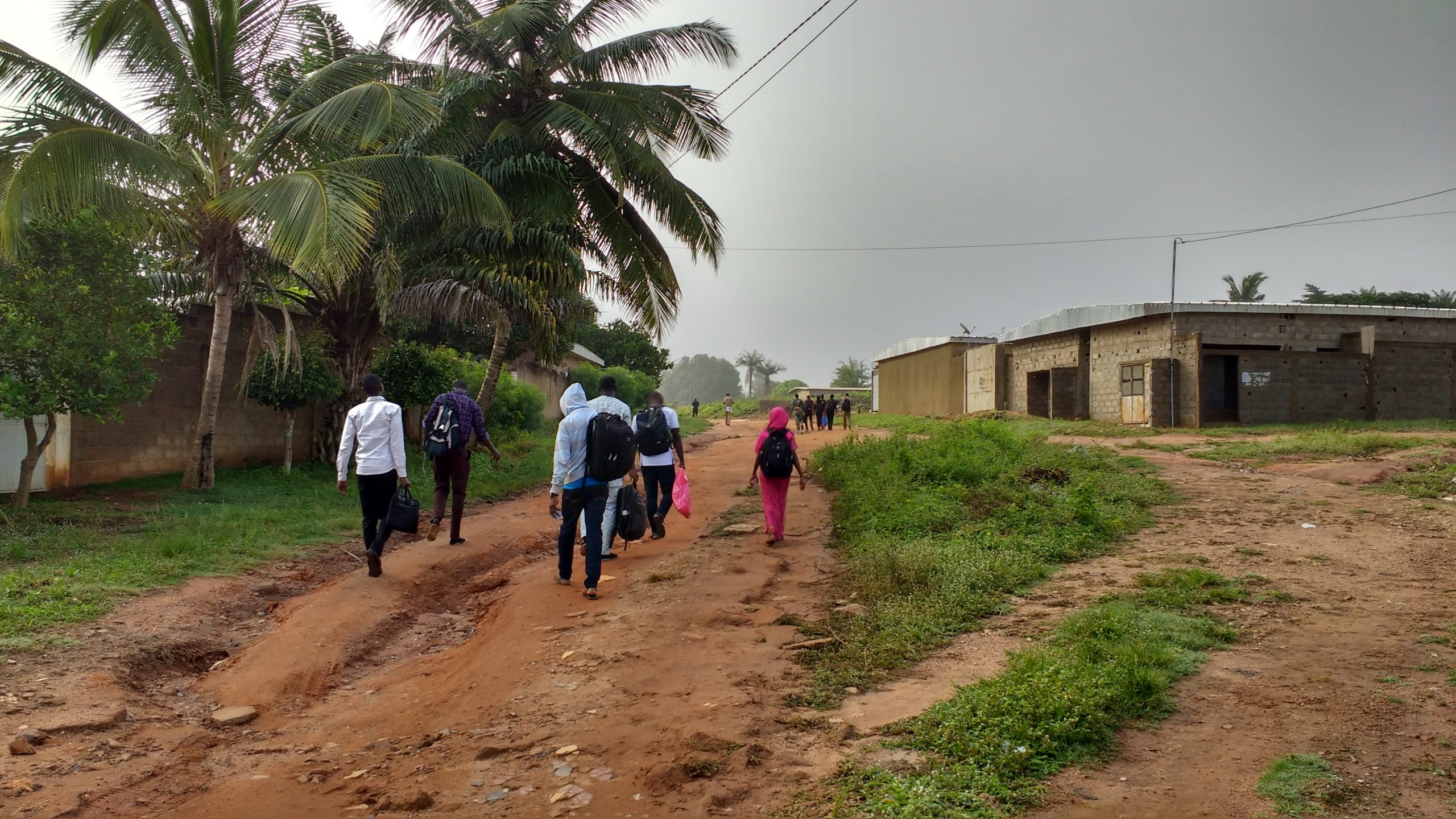
In Bouaké (Ivory Coast) from October 1 to 21, 2016, as part of its outreach and training activities on collaborative tools, methods, and practices in free digital mapping (OSM) in Africa, the International Organisation of La Francophonie, through its Department for Economic and Digital Francophonie (OIF/DFEN), supported and organized – in coordination with international and junior OpenStreetMap (OSM) experts, members of the Projet Espace OSM Francophone (Projet EOF) collective, members of the OSM Côte d’Ivoire association, and OSM communities from West Africa (from Benin, Burkina Faso, Senegal, Mali, Niger, Togo, France, and Guinea), the implementation of a program to build technical and organizational capacity in free participatory digital mapping (OSM) and free geomatics (QGIS, uMap, geOrchestra, Leaflet).
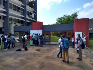
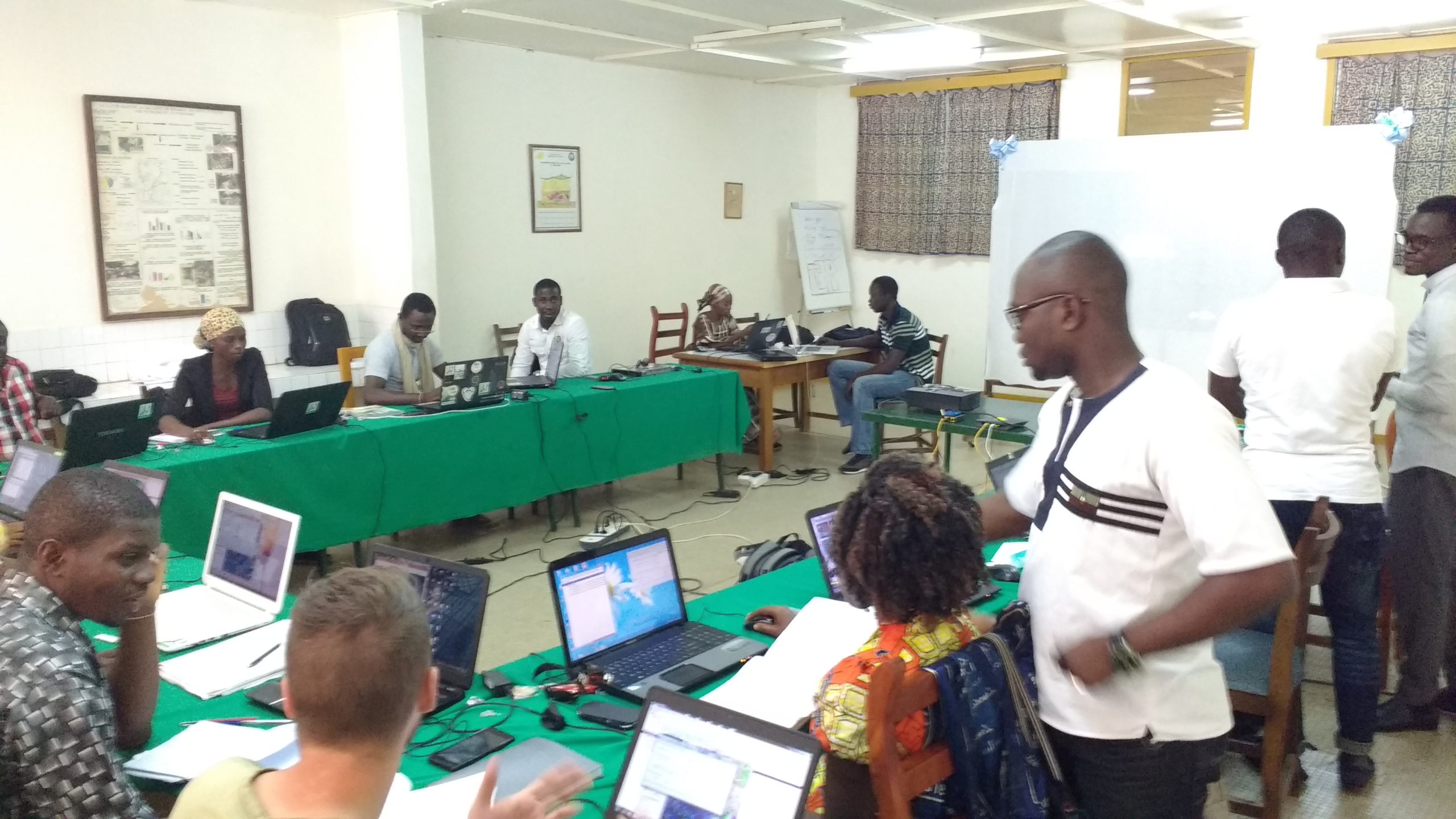
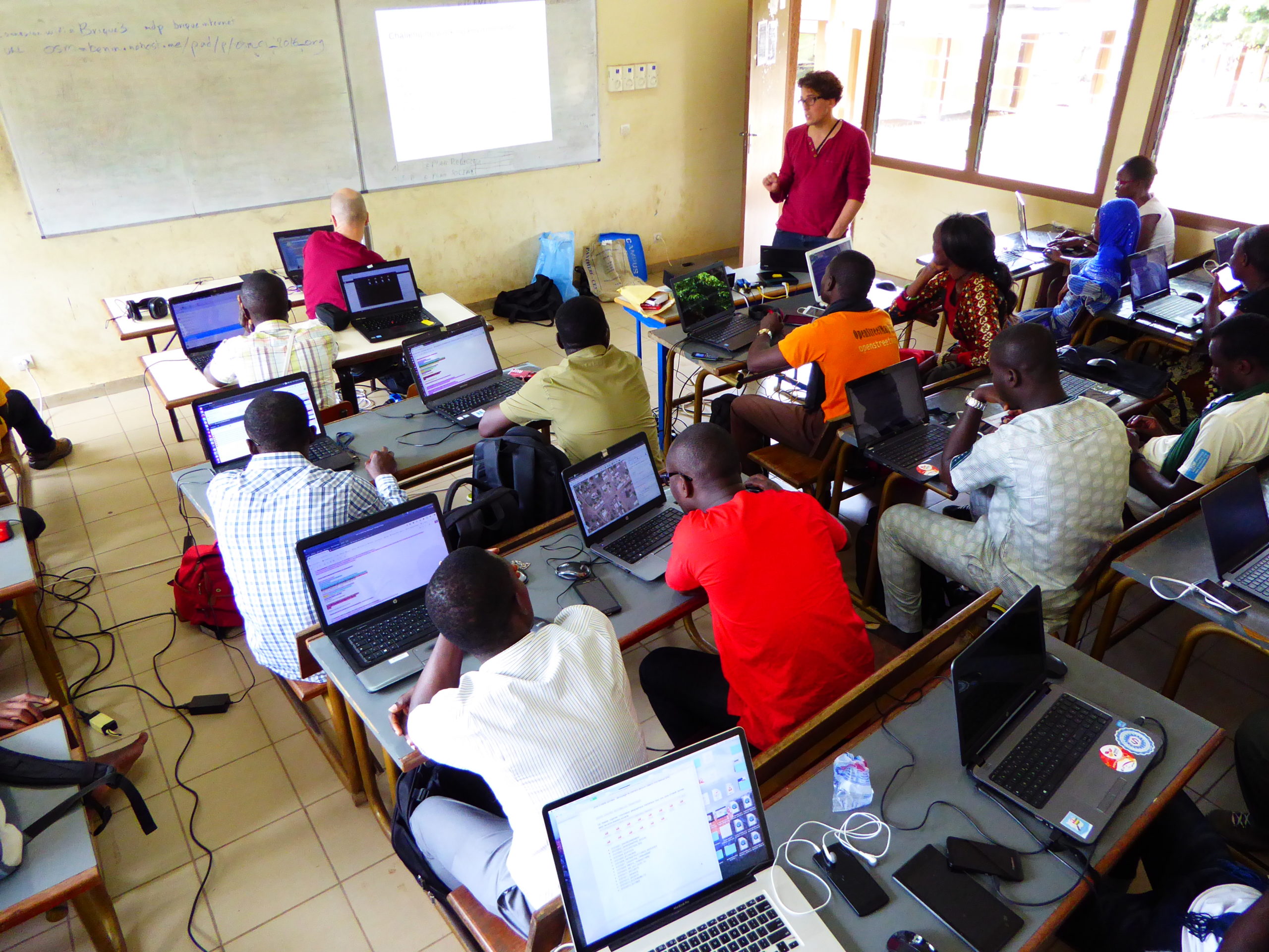
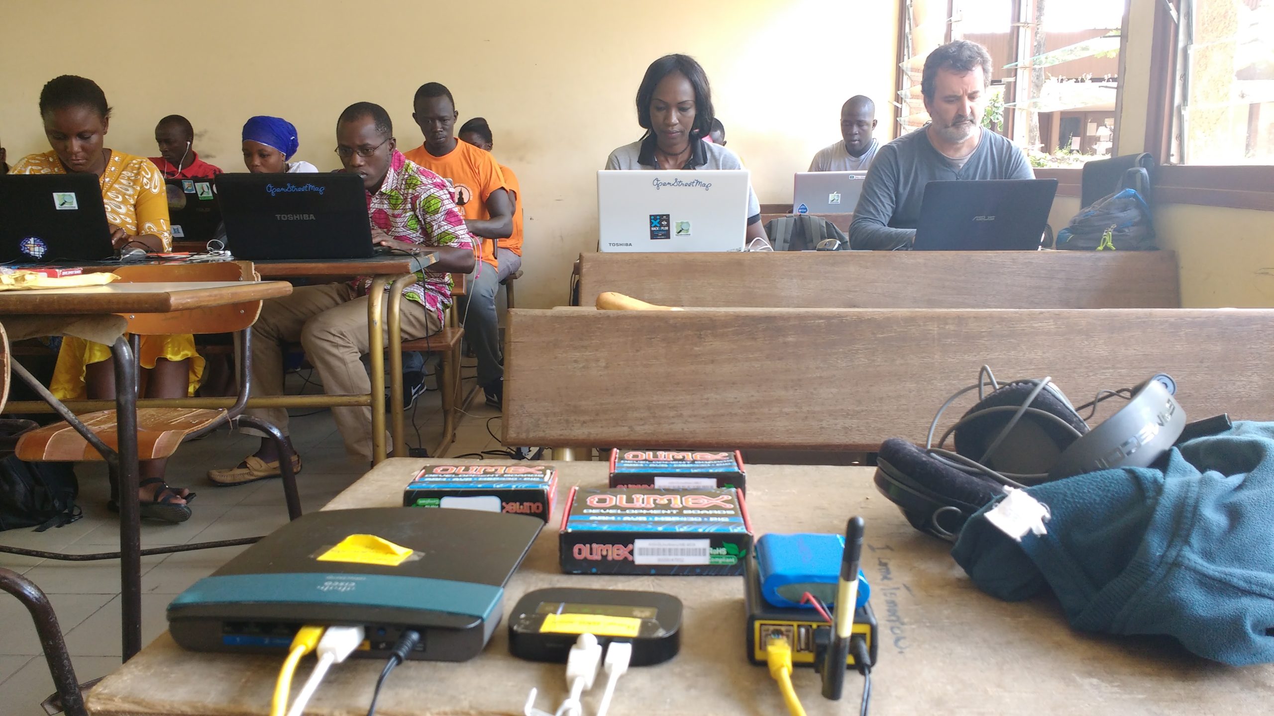
Three technical and organizational capacity-building workshops on “OSM, QGIS, Web Mapping, and IDS” were held over 10 days at three different locations
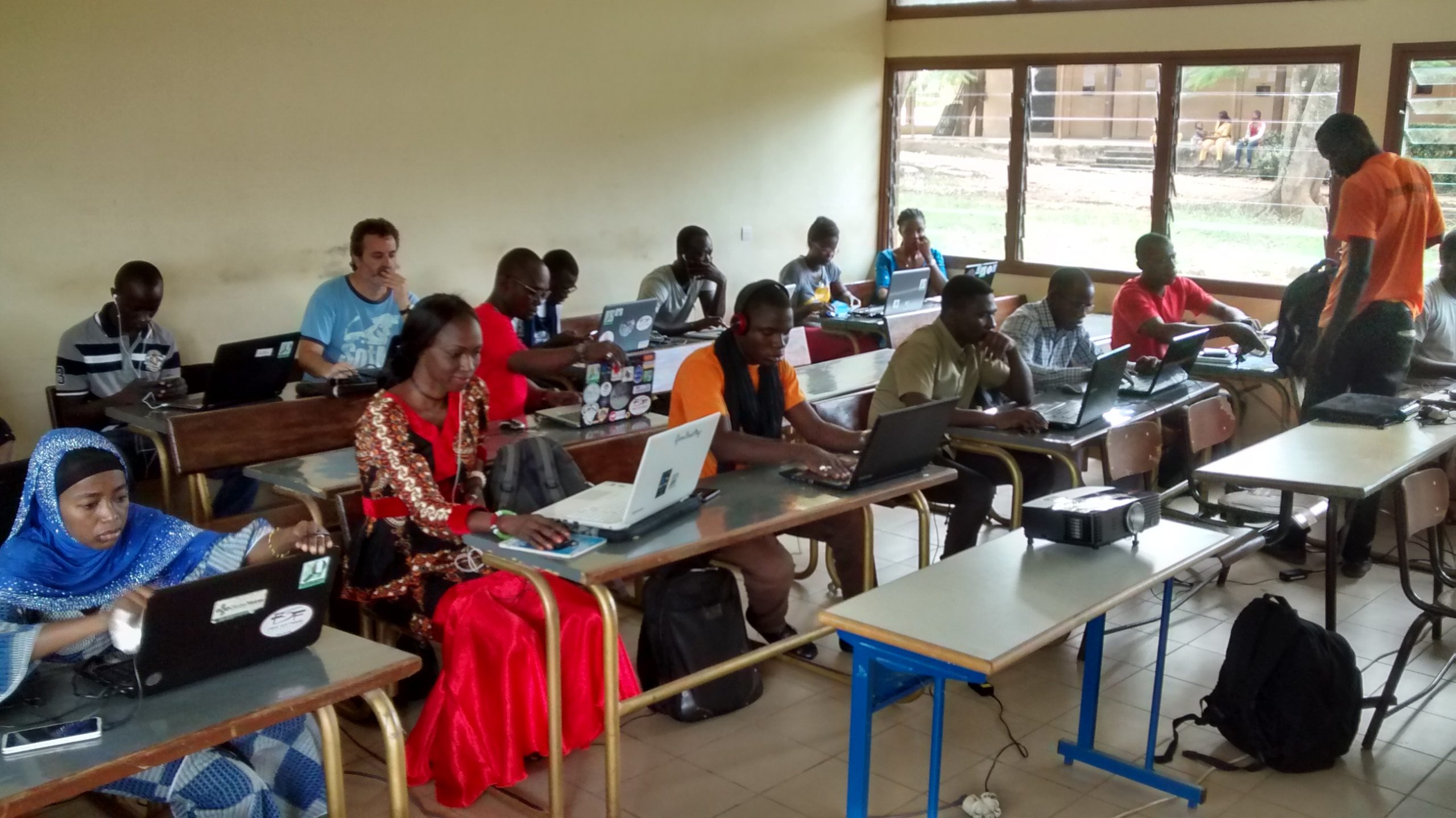
The workshop held at the Pierre Richet Institute (IPR) for students and researchers from the French National Research Institute for Development (IRD)
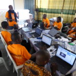
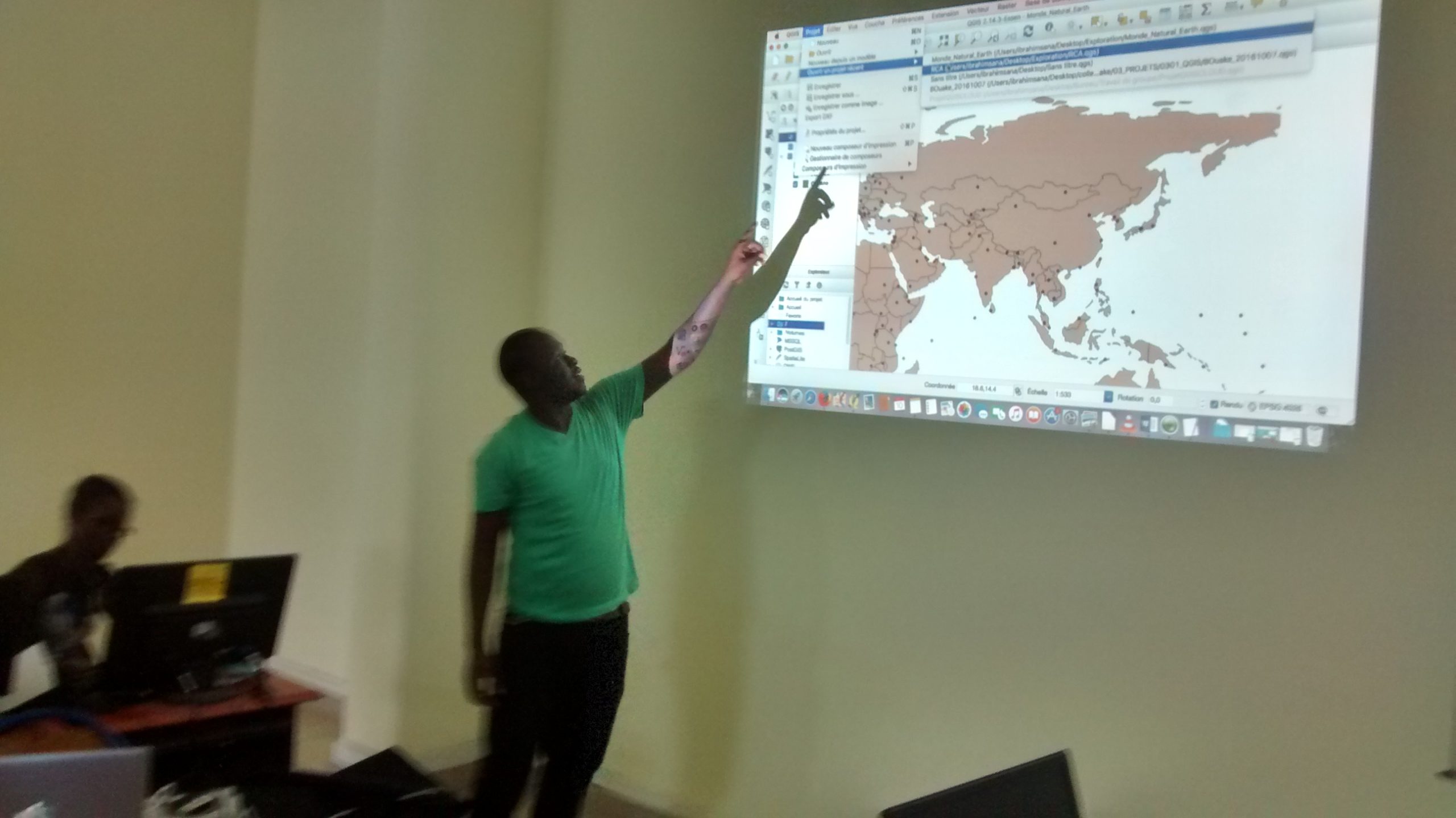
This first workshop to raise awareness and provide training on open-source digital mapping (OpenStreetMap) and open-source geomatics (QGIS, geOrchestra, and Leaflet) took place at the Pierre Richet Institute (IPR), involving 16 to 24 students and researchers from the French National Research Institute for Development (IRD), with the training co-facilitated by seven OSM facilitators. This workshop took a unique approach by drawing on the full range of techniques for creating and using geographic data to address the geomatics needs of research projects focusing on human and animal trypanosomiasis, malaria, and Ebola. This marks the first time since the OIF’s initial OSM and Open Geomatics capacity-building initiatives in 2013 that it has been possible to design and conduct a training program that places participants in near-real-world working conditions to facilitate future data reuse.
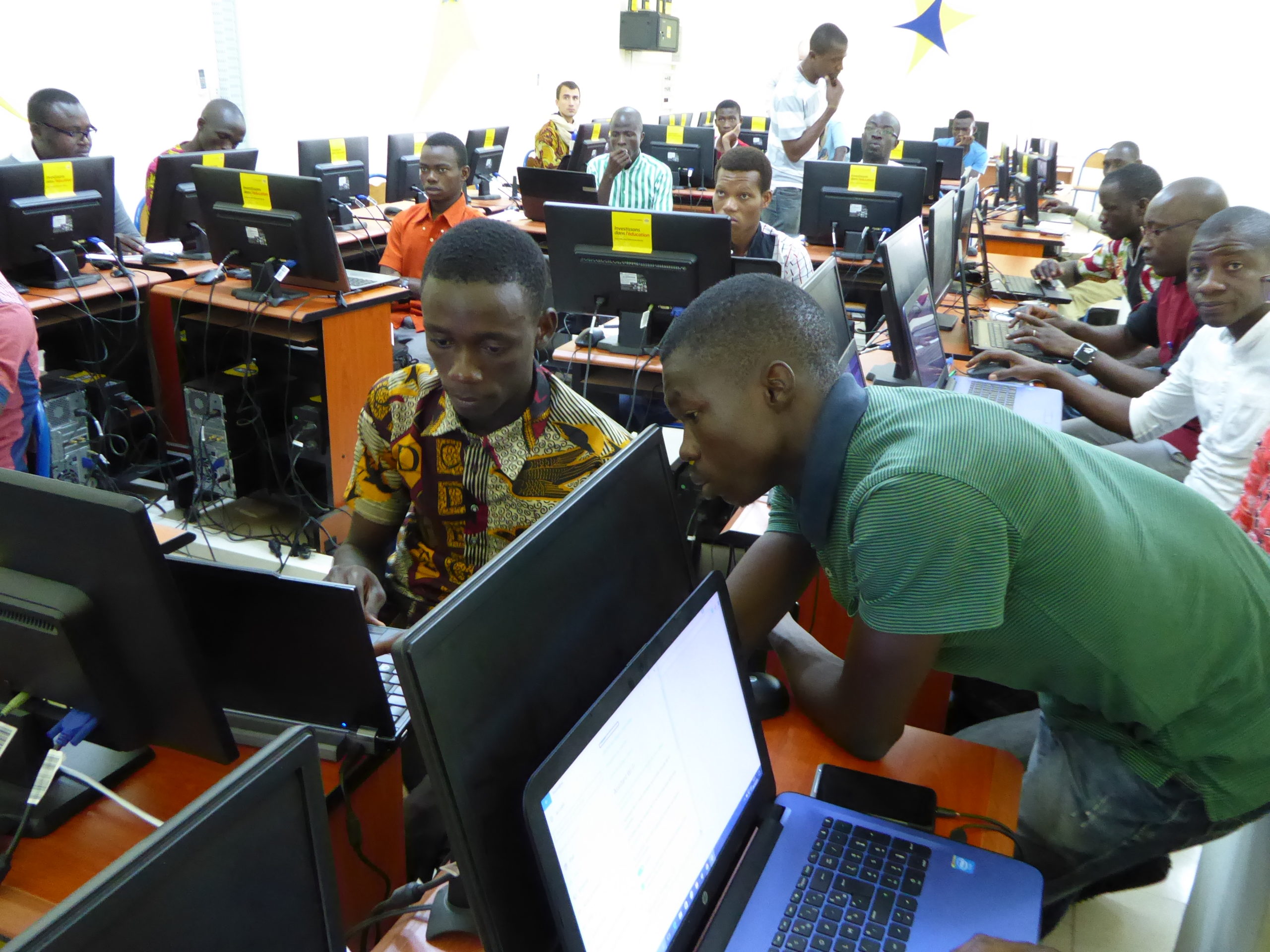
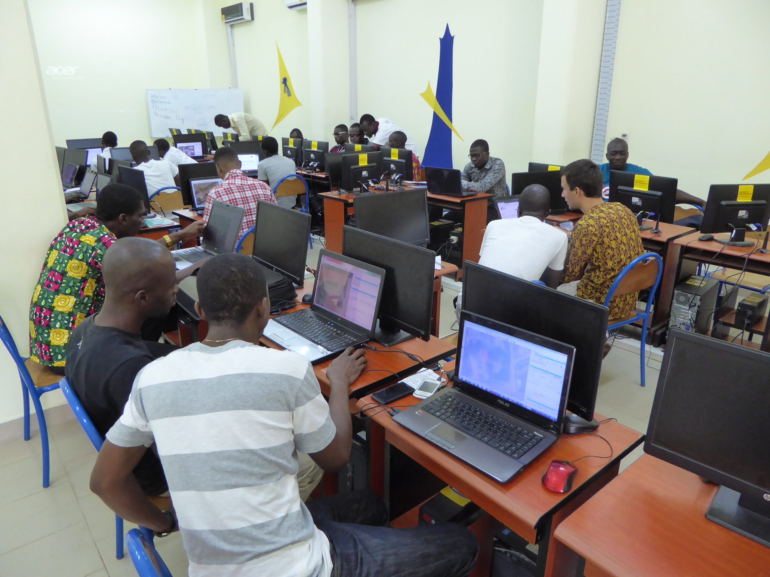
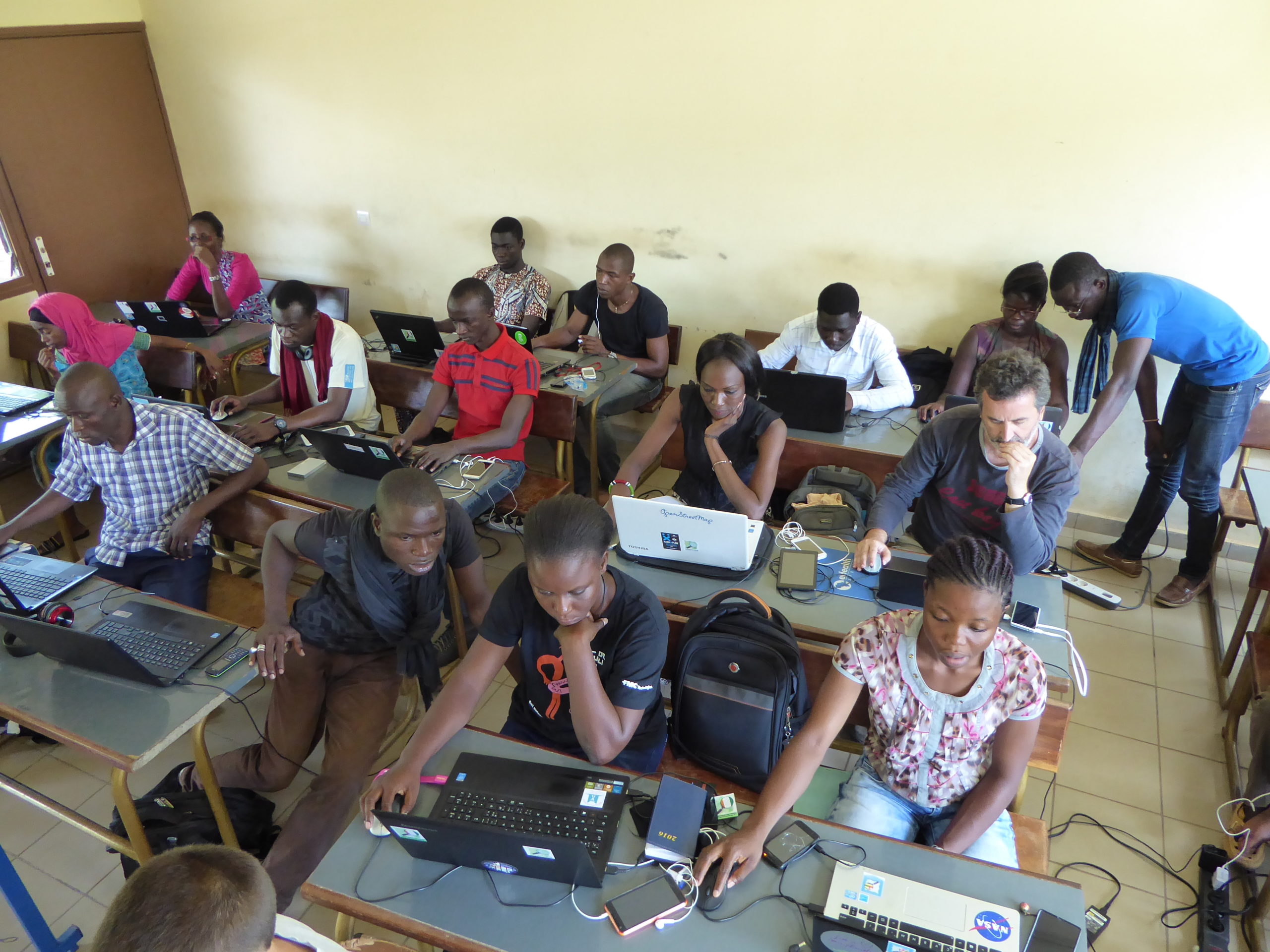
The workshop organized at Alassane Ouattara University (UAO) for students and researchers in the Department of Geography
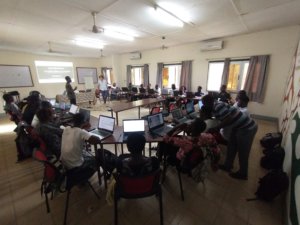
This second 10-day workshop, held in conjunction with the Alassane Ouattara University (UAO), involved 16 to 24 participants, including students, faculty members, and professionals in geography and sociology, all of whom were new to OpenStreetMap mapping and open-source geomatics. It was co-facilitated by 8 OSM facilitators.
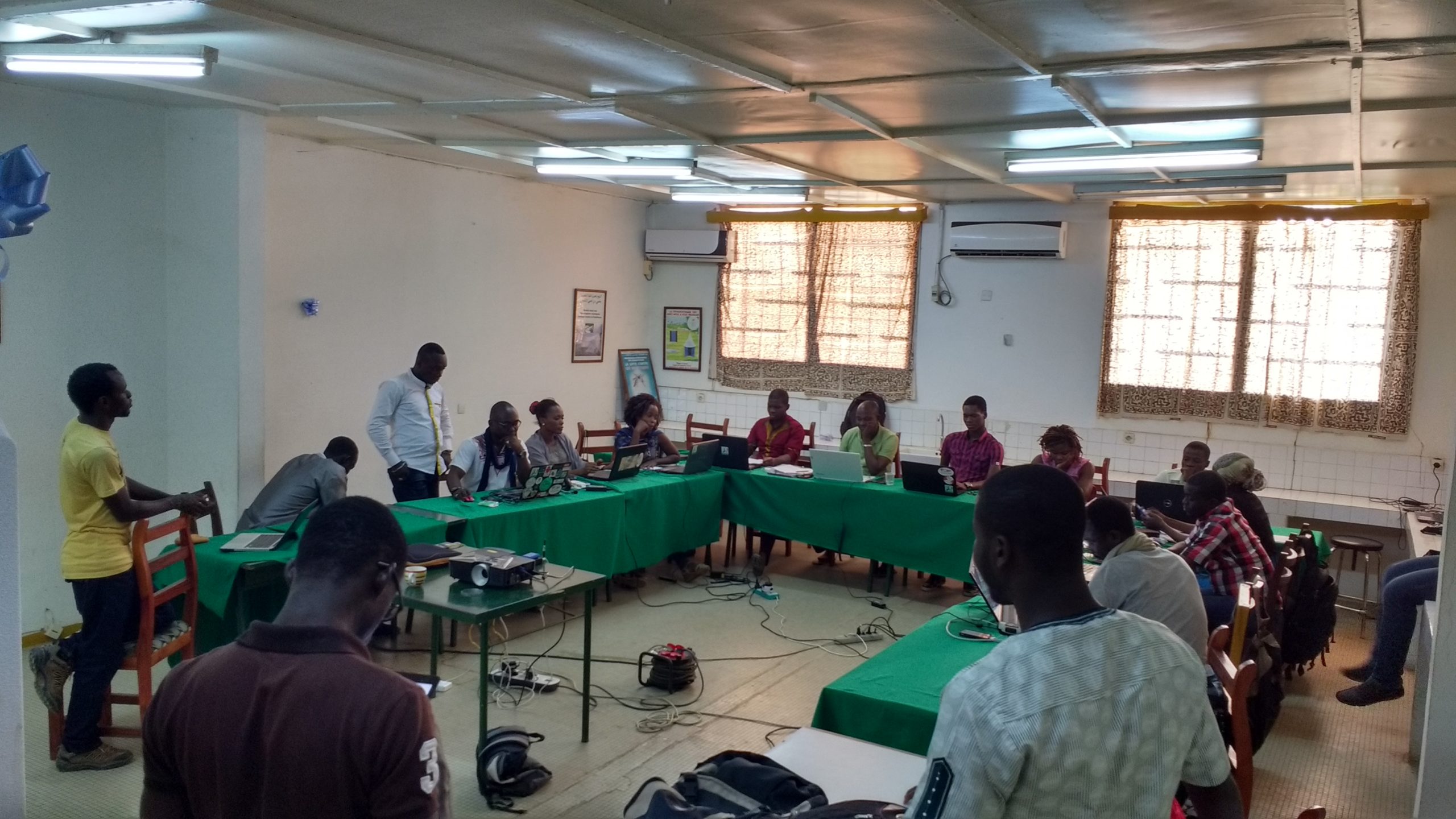
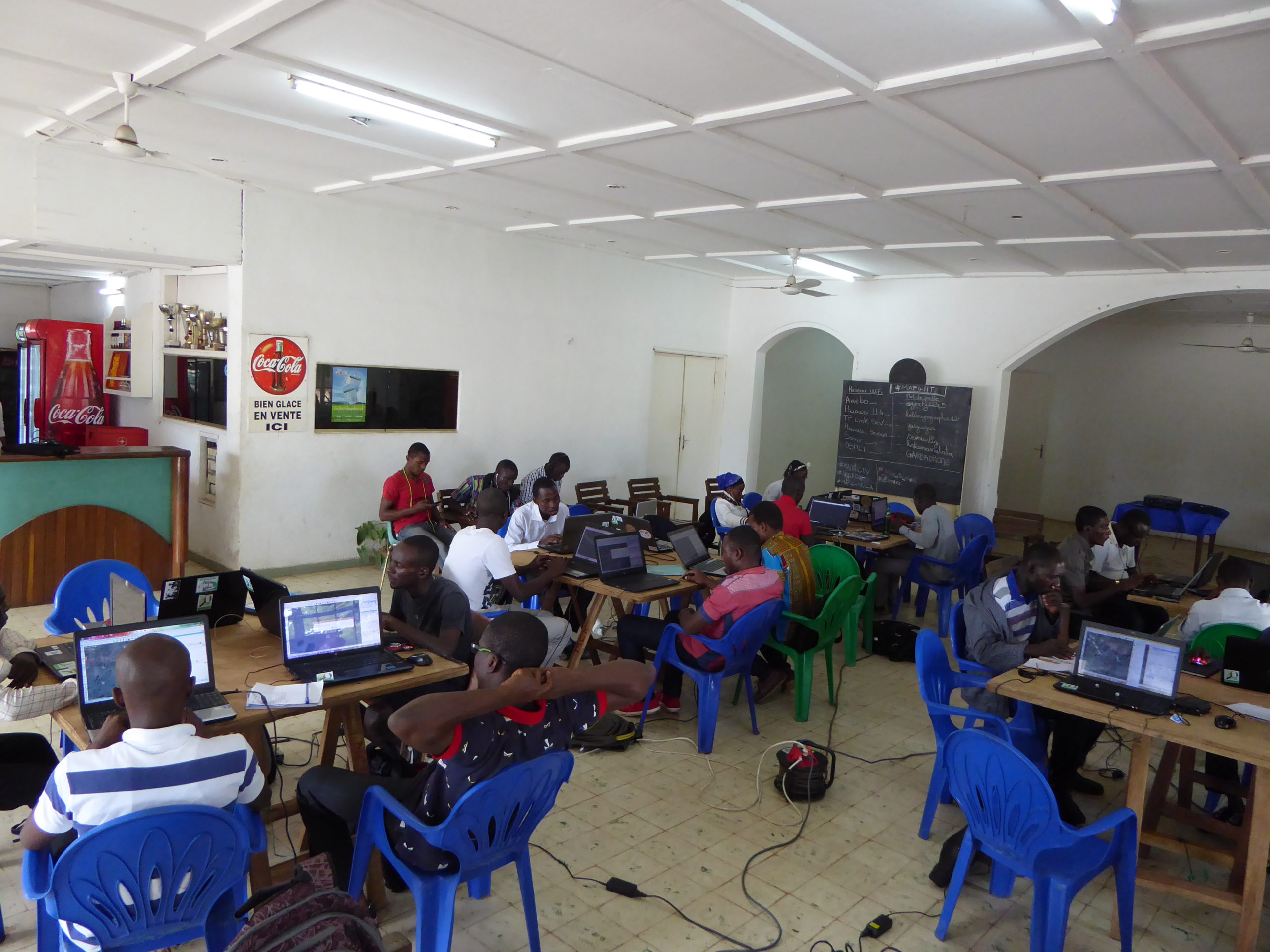
The technical and organizational capacity-building workshop for OSM facilitators from 7 West African countries
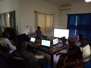
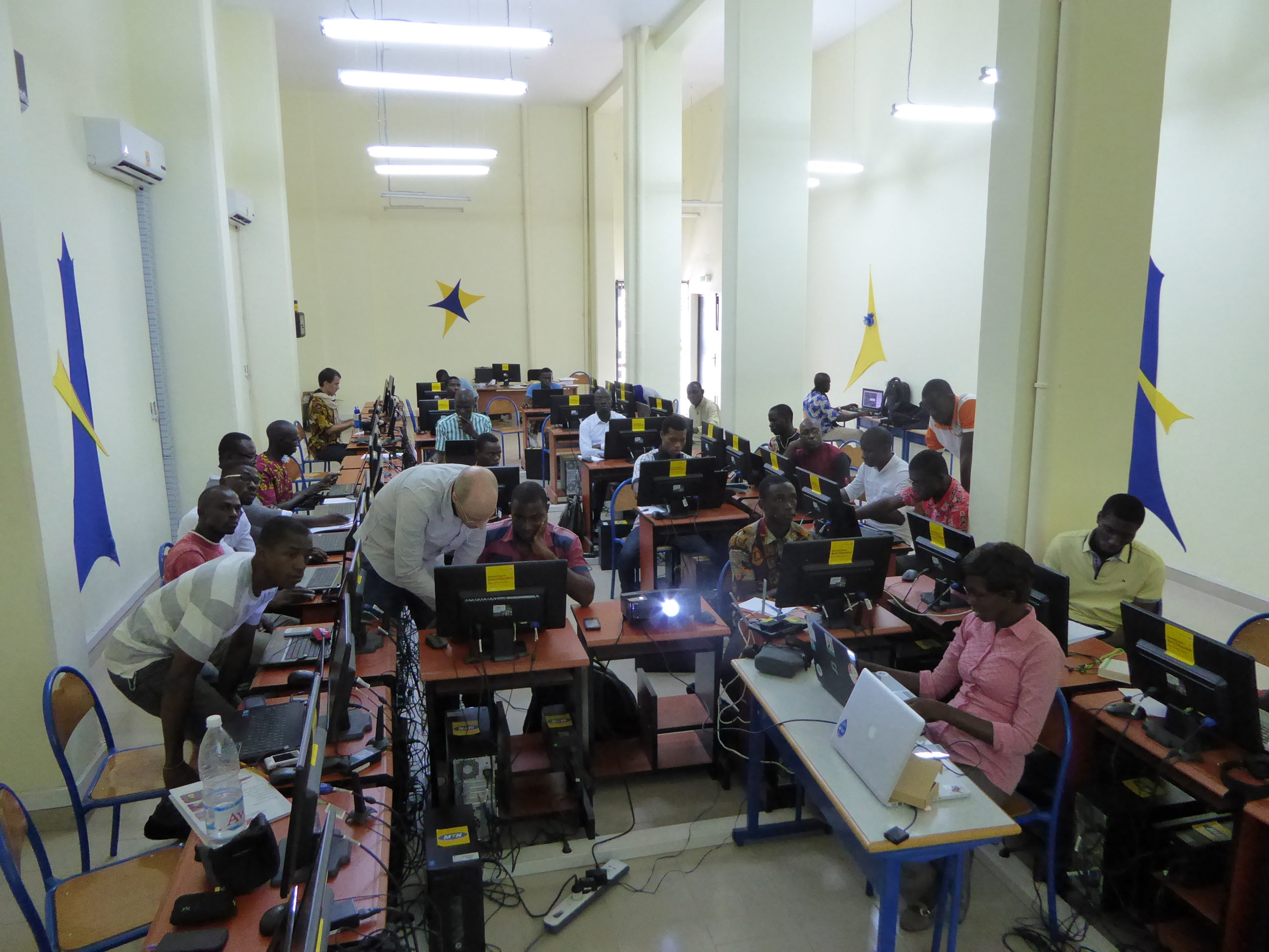
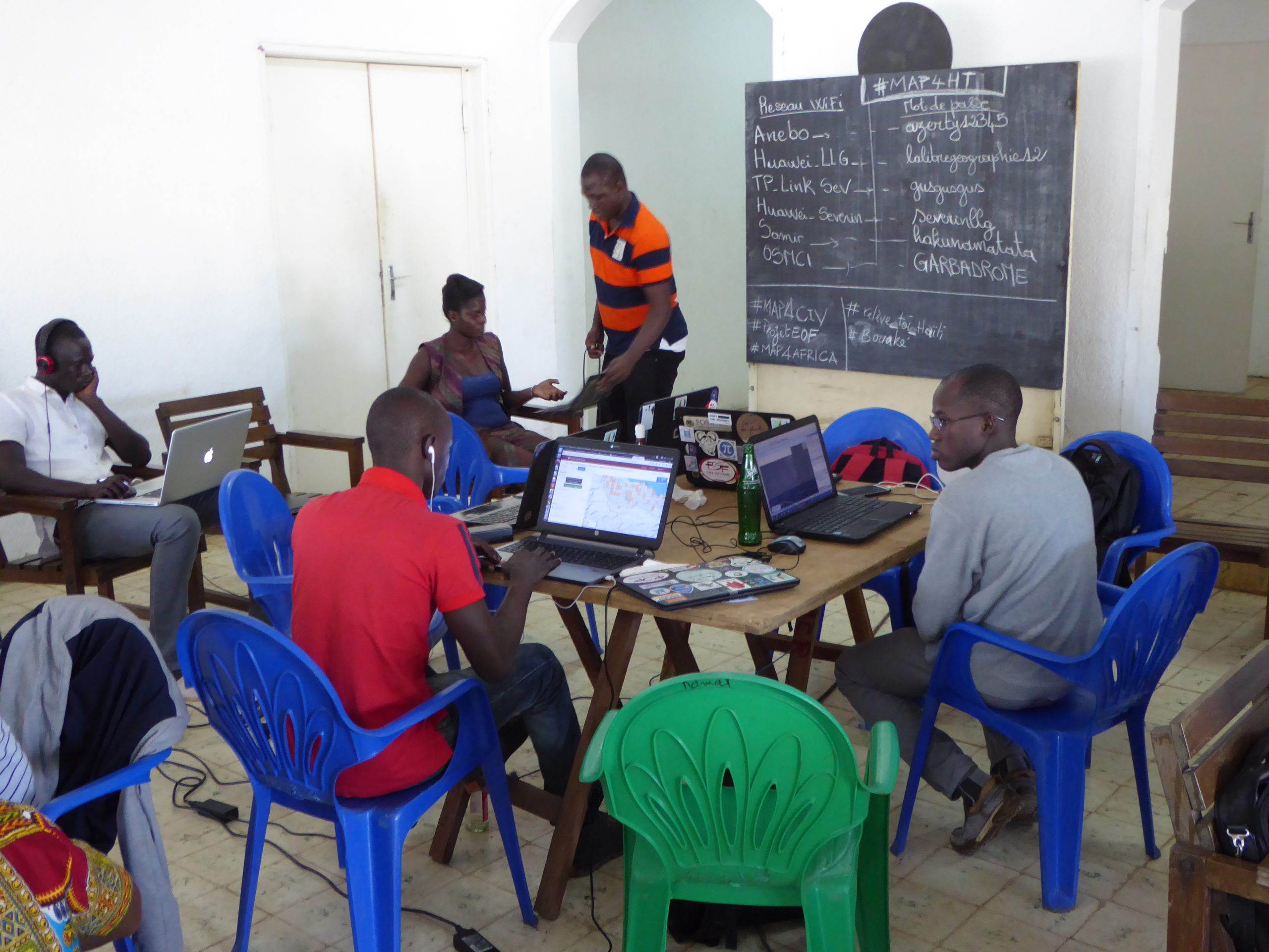
In parallel with the training sessions held at the IPR and the UAO, a 10-day train-the-trainer workshop on the same “OSM, QGIS, Web Mapping, and GIS” program was organized at a training facility in Bouaké, involving 11 OSM facilitators from Côte d’Ivoire, Benin, Togo, Burkina Faso, Guinea, Mali, and Senegal – who were less experienced than the facilitators in the other workshops. As a cohesive group, well-supported by two more experienced trainers, these facilitators were able to effectively strengthen their technical and organizational skills.
Complementary activities combining conferences, outreach to elected officials, field mapping, internal organizational strengthening, and crisis mapping
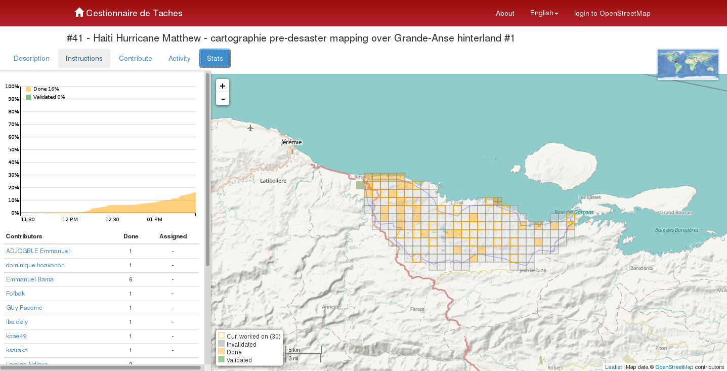
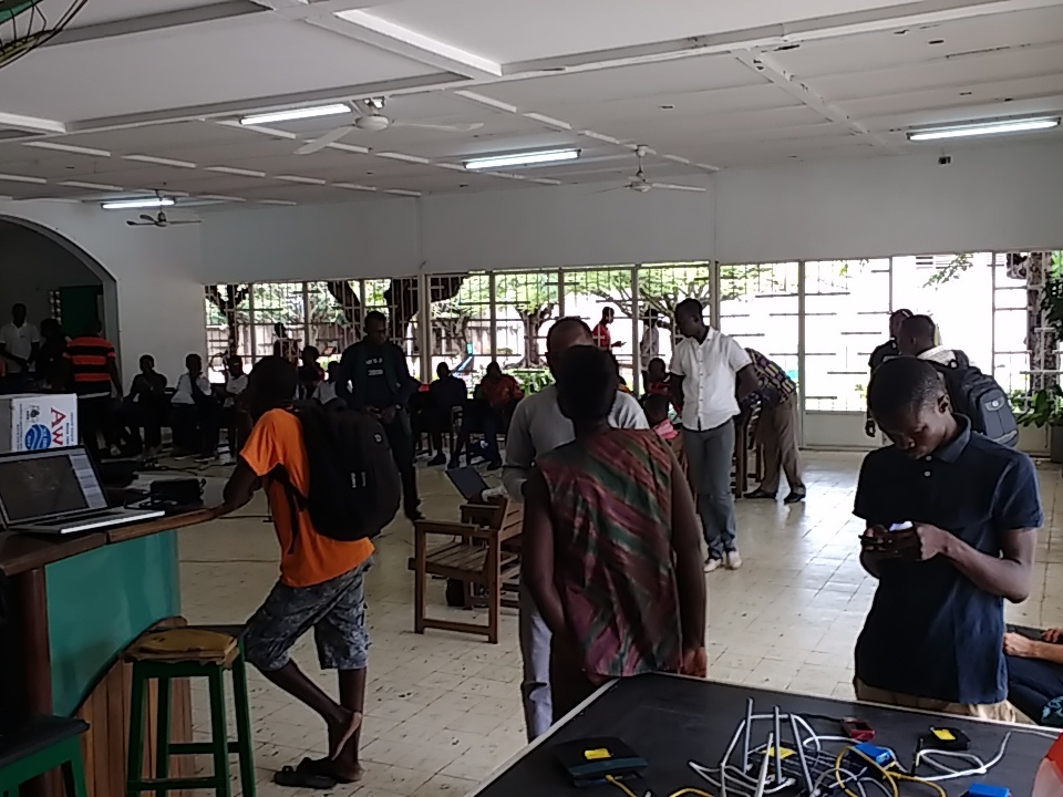
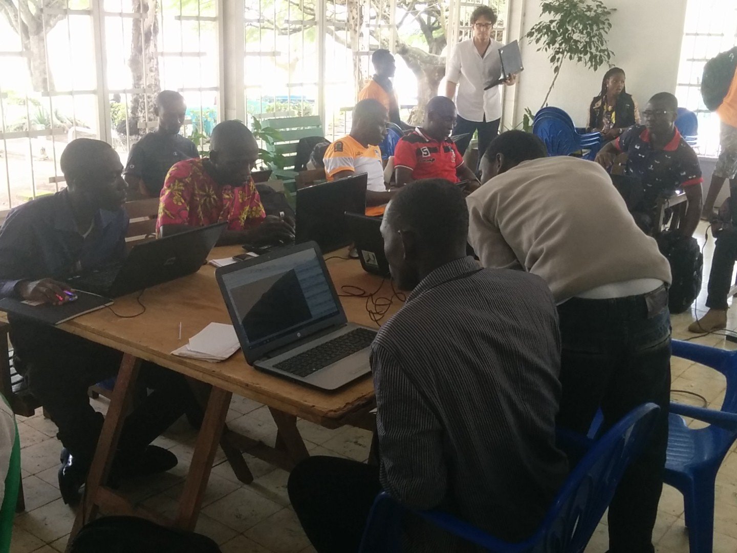
The mapathon on Saturday, October 8
This workshop on mass geographic data creation for the OSM database was organized to support the OpenStreetMap community’s response to the major humanitarian crisis caused by Hurricane Mathieu in Haiti on October 4, 2016. Coordinated with Haitian mappers involved in this crisis response, it focused on affected areas in the Grand’Anse department that lacked baseline data. The event brought together the Bouaké OSM community as well as participants from the three “OSM QGIS Webmapping and IDS” workshops, enabling them to create data, gain technical and organizational experience (particularly regarding the organization of a mapathon), and strengthen their sense of belonging to the OSM community at various levels (Bouaké, Ivory Coast, West Africa, and the world).
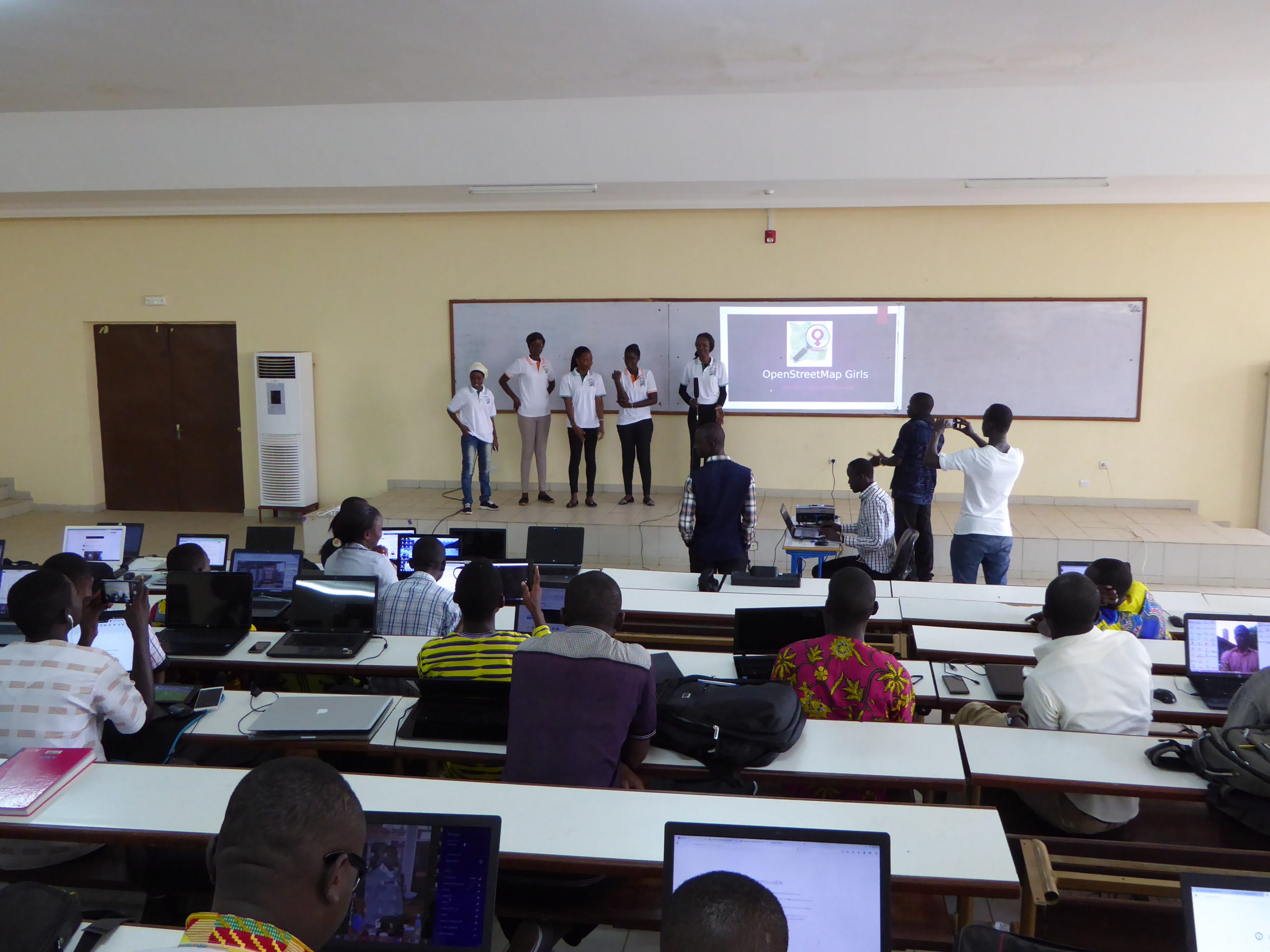
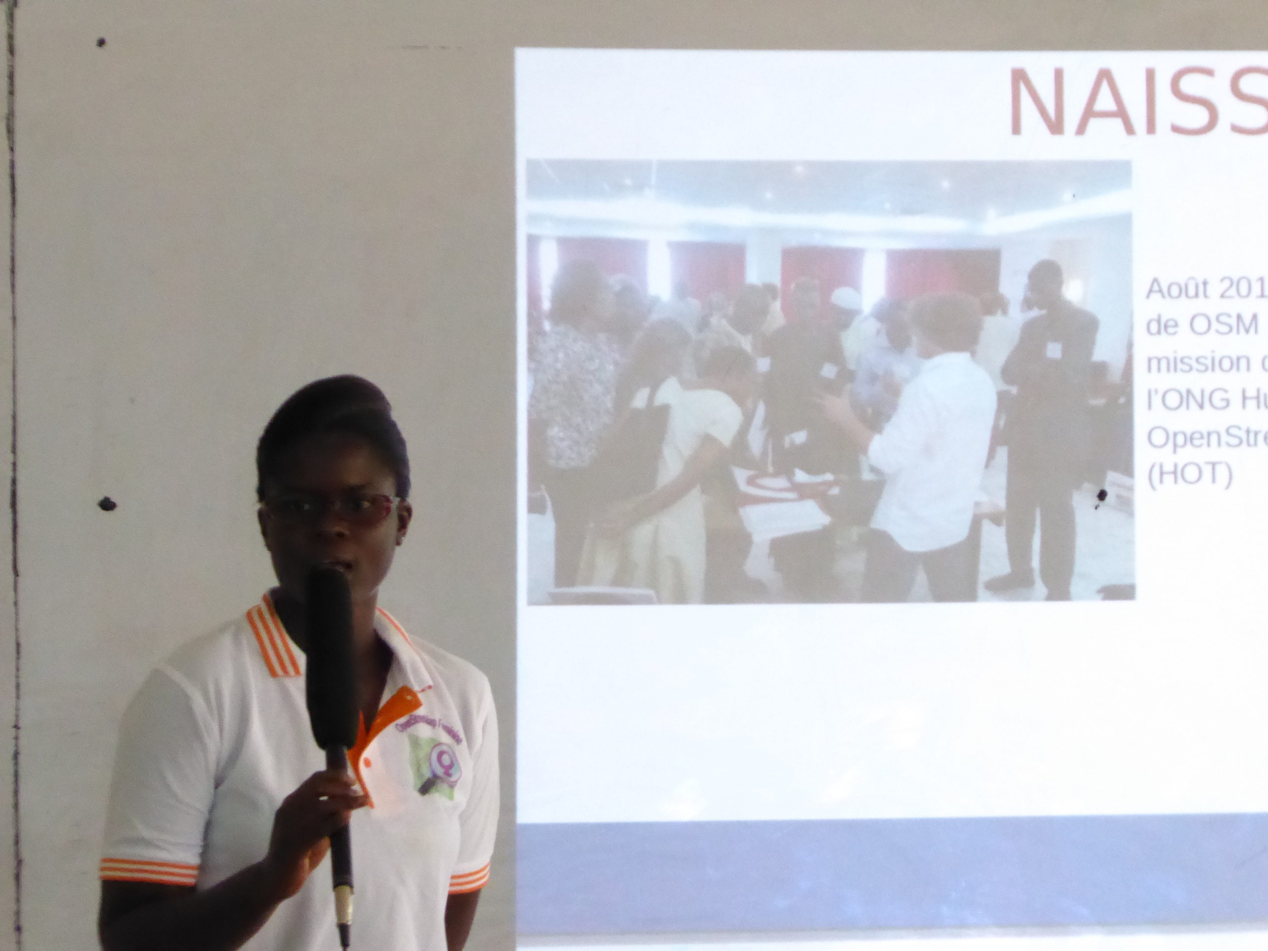
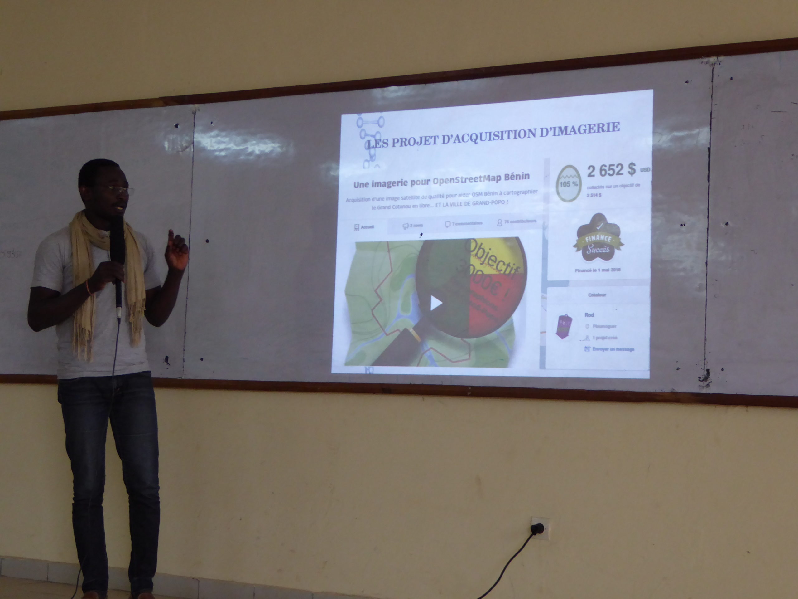
“SotM West Africa – Bouaké Stop” on October 15, 2016
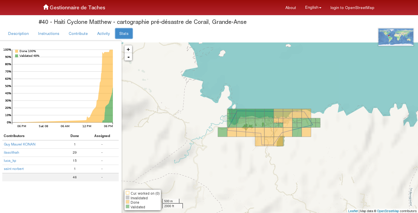
A day of talks and workshops on the state of the OSM map and related activities in a given region, this West African “State of the Map” (SotM) event in Bouaké was held at the UAO in Bouaké, allowing participants in the various workshops, as well as a broader audience of students and professionals in the field, to learn about the status of the OpenStreetMap project in Côte d’Ivoire and Bouaké, as well as throughout West Africa. In addition to presentations on the activities of the OSM communities in Benin, Burkina Faso, Côte d’Ivoire, Mali, Niger, Senegal, Guinea, and Togo, technical workshops were held, along with a second mapathon focusing on areas of the Haitian department of Grand’Anse affected by Hurricane Mathieu. The event brought together the Bouaké OSM community as well as participants from the three workshops – “OSM, QGIS, Web Mapping, and SDI” – which also facilitated data creation, the acquisition of technical and organizational experience, and the strengthening of a sense of belonging to the OSM community at various levels (Bouaké, Côte d’Ivoire, West Africa, and the world).
An awareness-raising workshop for local elected officials and technical services in Bouaké
This two-hour workshop presented and summarized for local elected officials and representatives of the technical departments of the city of Bouaké the collaborative mapping activities carried out in this region since 2014 as part of the OIF’s capacity-building initiatives, the IRD and IPR programs that emerged from them, and global and local OSM community activities. It raised awareness of the OSM project’s potential for territorial management, the scope of the work accomplished, and the local and global expertise that can be mobilized to strengthen the city government’s capacity within the framework of future cooperation initiatives outlined for 2017.
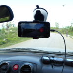
Field mapping in support of the LUPACI and EBOCI research projects
In agreement with the OIF and with the aim of, on the one hand, consolidating support efforts for the OSM project in Côte d’Ivoire and, on the other hand, strengthening the cooperative dynamics built around the LUPACI and EBOCI research projects between, on the one hand, Ivorian OSM mappers, the expert collective Les Libres Géographes (LLG) – in coordination with the associations Projet EOF and OpenStreetMap Côte d’Ivoire – and, on the other hand, the IRD and its partners at the UAO and the IPR, project development work was carried out to submit two proposals for health geography studies of the city of Bouaké based on OSM, open-source geomatics, open data, and a community-based approach. The goal is to create, promote, and share data and cartographic products, as well as to provide training and build capacity for mixed research teams and their academic and government partners (particularly at the local government level).
Training in crisis mapping in the context of Hurricane Matthieu, with a view to field operations
In agreement with the OIF and with the aim of both consolidating the support activities for the OSM project in Haiti in 2014 and 2015 and supporting Haitian OSM mappers in their efforts to participate in the OSM response to the humanitarian crisis caused by Hurricane Mathieu, an OIF protocol was developed to support the Haitian OSM response to Hurricane Mathieu, led by the association Haiti Communitere (HC), along with preparatory activities for this project.
A 4-day internal workshop focused on strengthening technical and organizational capacities. Set against the backdrop of the OSM humanitarian response to Hurricane Mathieu in Haiti, this workshop provided an opportunity to explore and review OSM mapping and organizational techniques, enabling individuals, groups, and local OSM communities to work effectively on a crisis response in coordination with other actors in the humanitarian system. Participants were introduced to key information and coordination documents for humanitarian crises and learned to apply the OSM coordination processes and tools necessary to successfully mobilize the OSM community – both remotely and on the ground (through the deployment of teams) – in coordination with humanitarian actors.
The text has been translated from French by DeepL.com (free version).
Location