CohéSIoN: “Socio-Territorial Constructions of Inequalities: Territorial Assessment and Decision Support” in Bouaké – 2019
July 2019
Context and Approach
The LLg association, with the support of members of OSM Côte d’Ivoire, is responsible for the open-source geomatics component of the ANR CohéSIoN project, which involves OpenStreetMap (OSM) mapping, geographic information systems using QGIS, spatial data infrastructure using geOrchestra, open data, and an open science lab. This research is strongly oriented, due to its foundation in the open-source paradigm (software, data, and documentation), toward promoting value through data sharing and capacity building for local actors in the research community, communities of practice (OSM, open-source, and open data), and stakeholders responsible for the city’s territorial governance (public health and city hall).
The first mission in 2018 enabled us to work with partners to define the needs for open geographic data, design the data model and survey methodology, and raise awareness and train a group of students and members of the Bouaké OSM community on the project’s expectations and techniques, before coordinating—both on-site and remotely—the six weeks of field data collection and indoor mapping.
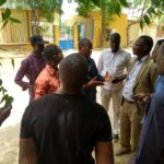
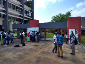
As planned, a second three-week field mission was carried out in Bouaké in 2019, from June 29 to July 20, combining the creation of supplementary geographic data with capacity building for the benefit of the research collective members who participated in the initial geographic and biomedical surveys, as well as ANR partners, particularly those from public health agencies and the city hall’s technical services.
The approach chosen was as follows: to integrate the 2018 mappers into all activities related to the design and supervision of the new surveys, as well as into the preparation of open-source mapping training sessions, offered in various formats, ranging from a one-week workshop for new mappers joining the CohéSIoN collective to lab activities lasting a few hours for project partners.
Capacity building for the 2018 mappers focused on the co-creation and co-leadership of the 2019 CohéSIoN geographic surveys and the open science lab
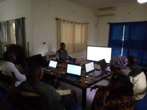
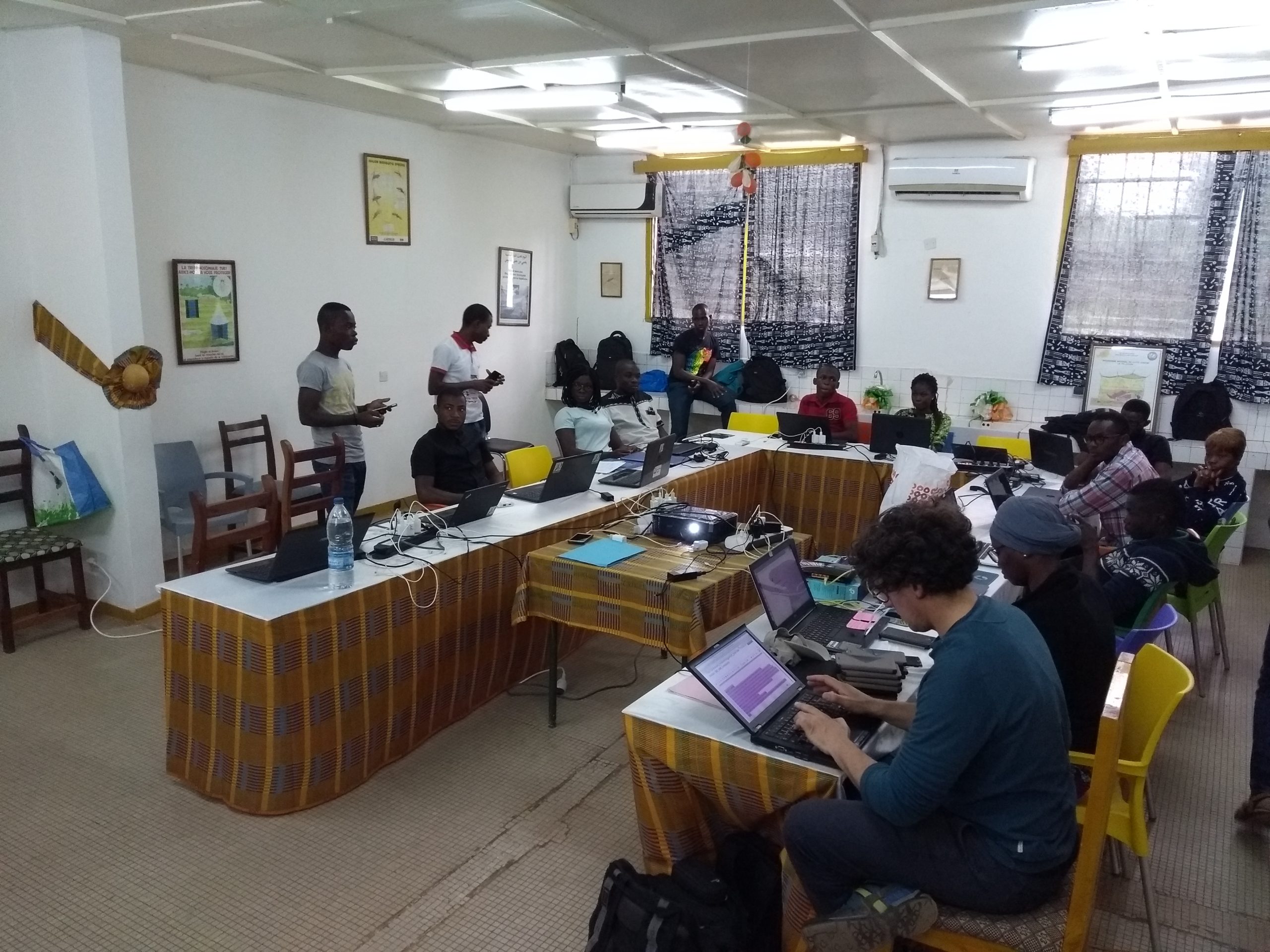
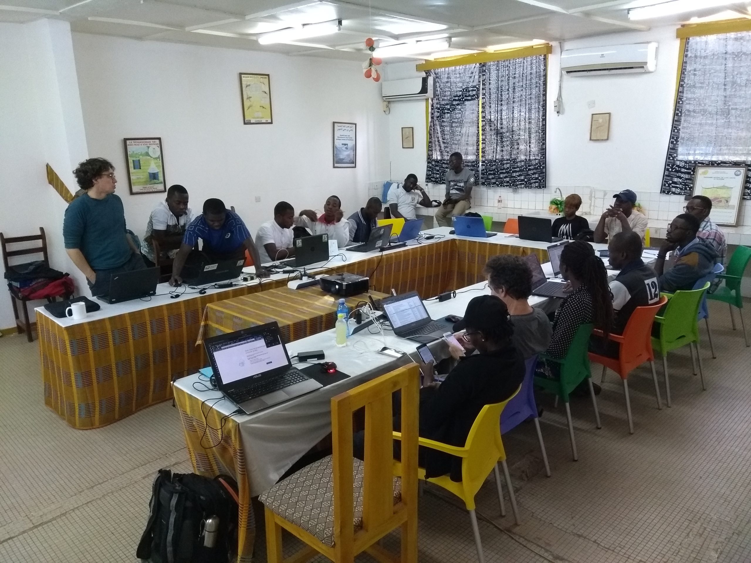
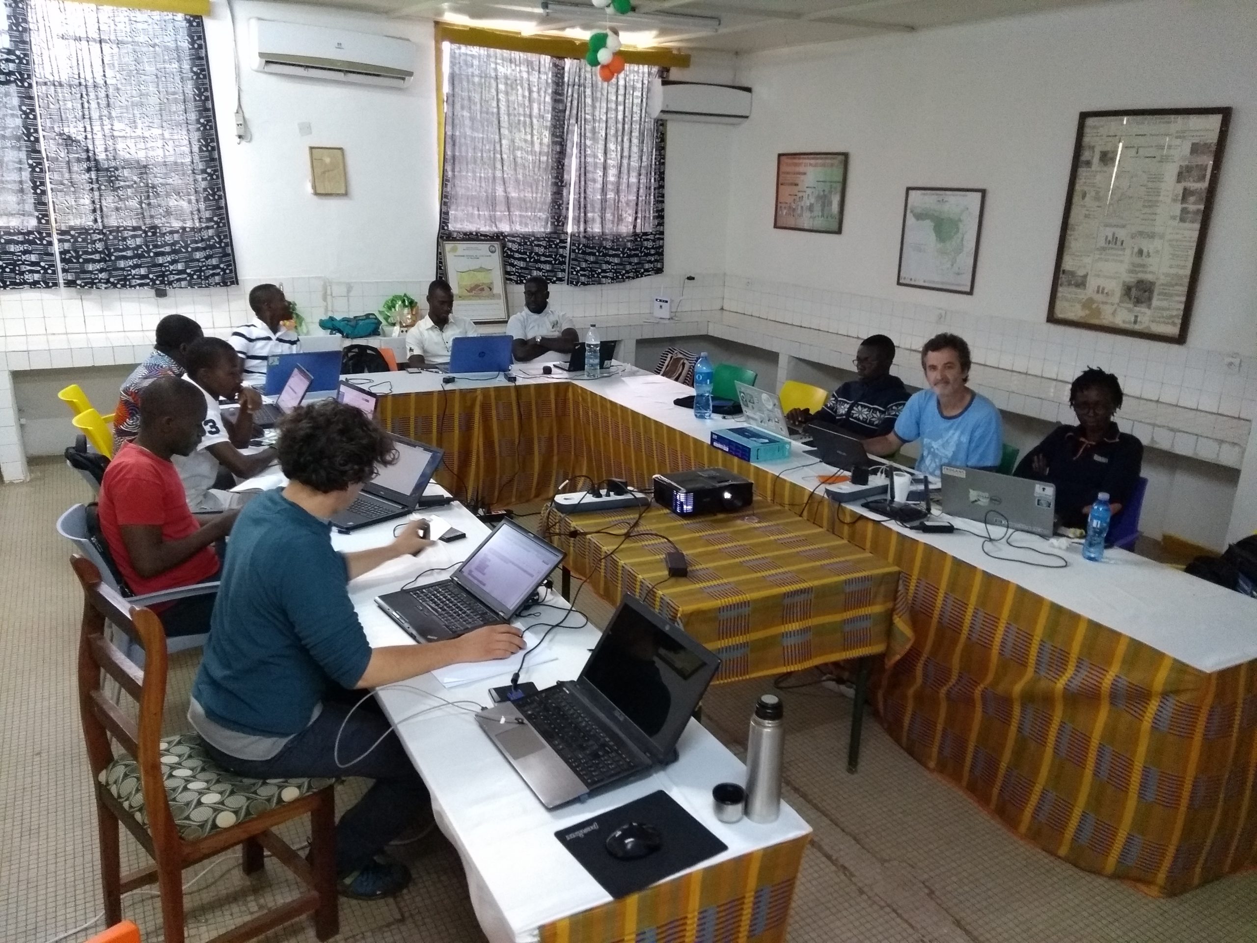
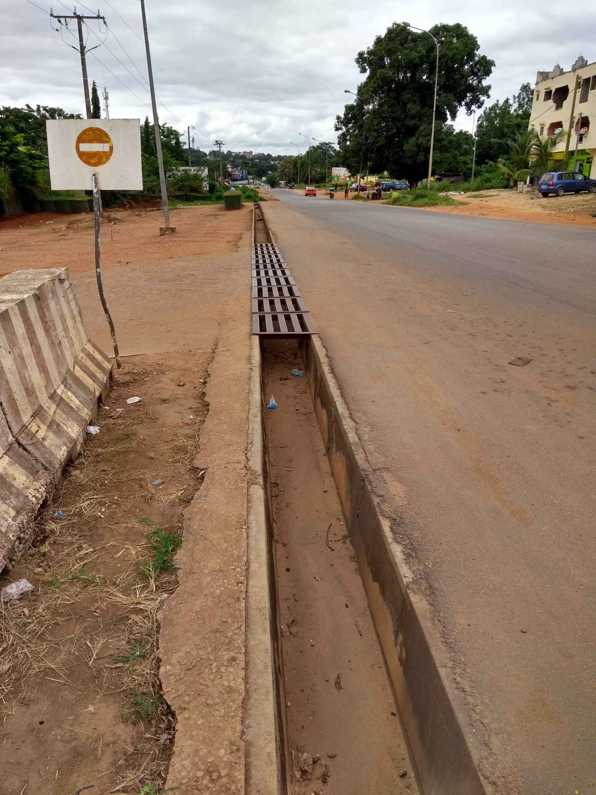
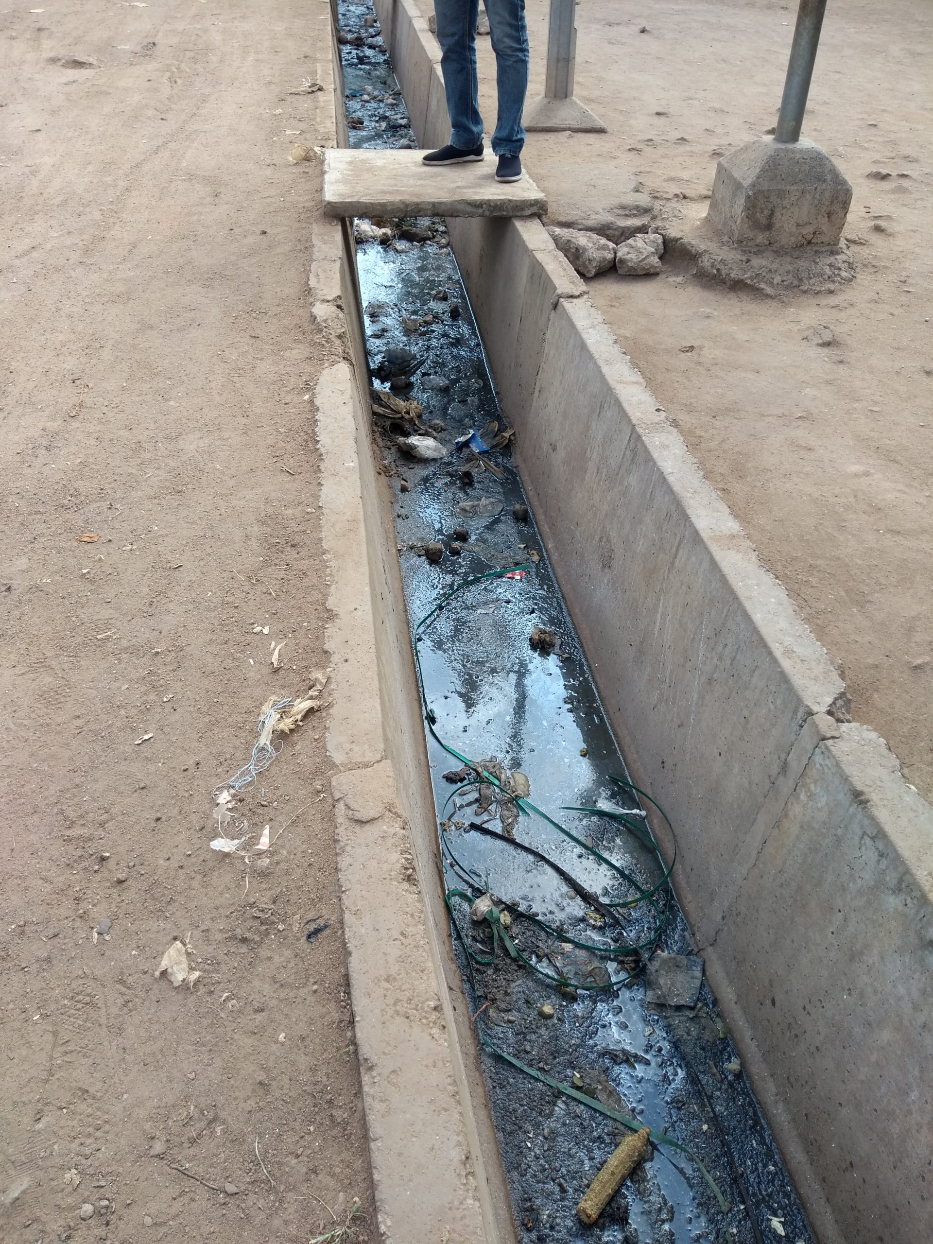
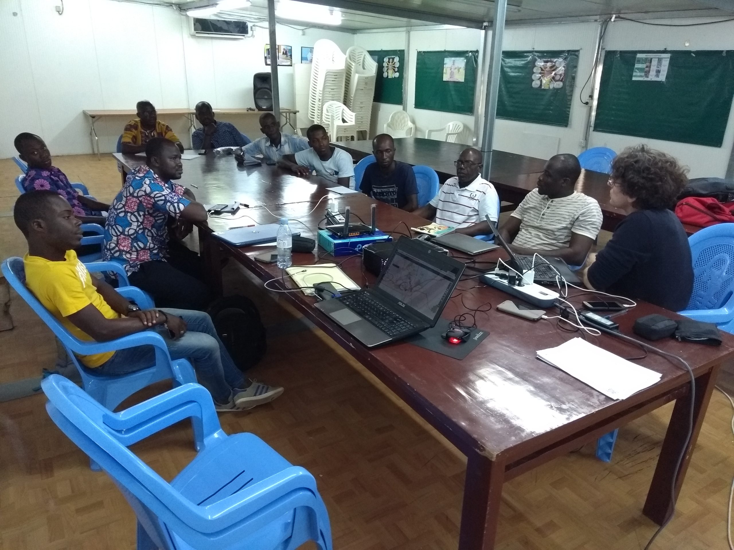
After three days of preparation, the LLg mission team worked at the Pierre Richet Institute (IPR) for 15 days to build the capacity of the CohéSIoN 2018 survey cartographers and the DST geomatics specialist, so that they could master the CohéSIoN 2018 open-source geomatics platform and adapt it for the 2019 urban geographic surveys. Regarding these surveys, the CohéSIoN partners expressed a need for a sanitation map (drainage channels, waste disposal sites), a map of community organizations, and a school map in the four neighborhoods (Belleville, Air France, Koko, and Soussonoubougou) targeted for the biomedical, entomological, and social science surveys planned during CohéSIoN’s Work Phases 2 and 3.
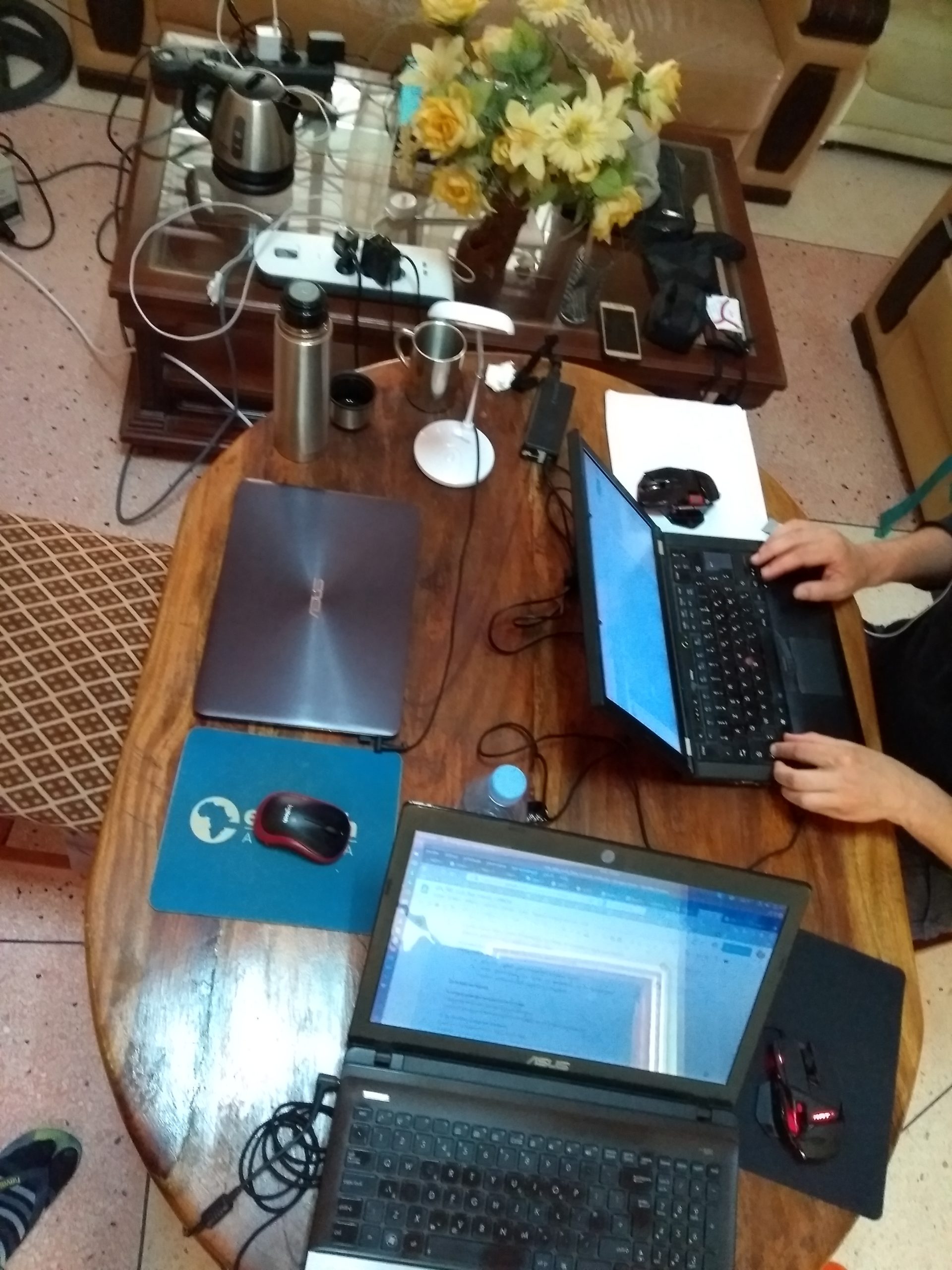
The work thus focused on semantic modeling methods and techniques (tagging OSM/semantic data model), OpenStreetMap mapping (OsmAnd and Mapillary data collection tools, JOSM editor), OpenDataKit digital field notebook technology (KoBoToolbox project, questionnaire and data design/administration roles), web mapping with the uMap tool, and GIS with QGIS for the design and conduct of thematic geomatics surveys modeled after the urban survey.
The LLg mission team also closely involved the CohéSIoN 2018 cartographers in the design and implementation of the open science lab, which is intended to extend, on an exploratory basis, the activities undertaken in the project and whose activities were initiated during the mission.
Capacity building for CohéSIoN 2019 partners through training in open-source geomatics and participation in new geographic surveys
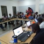
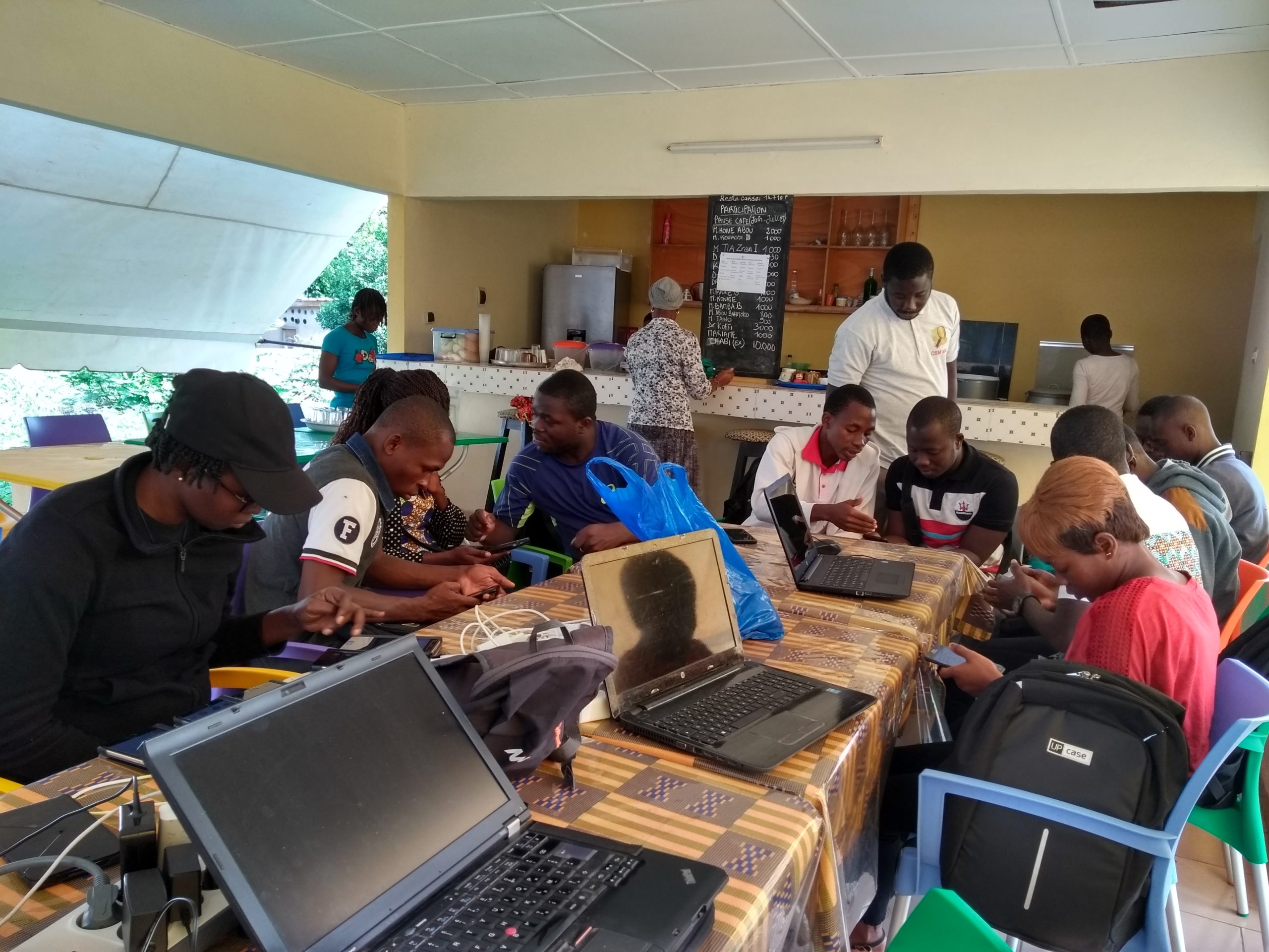
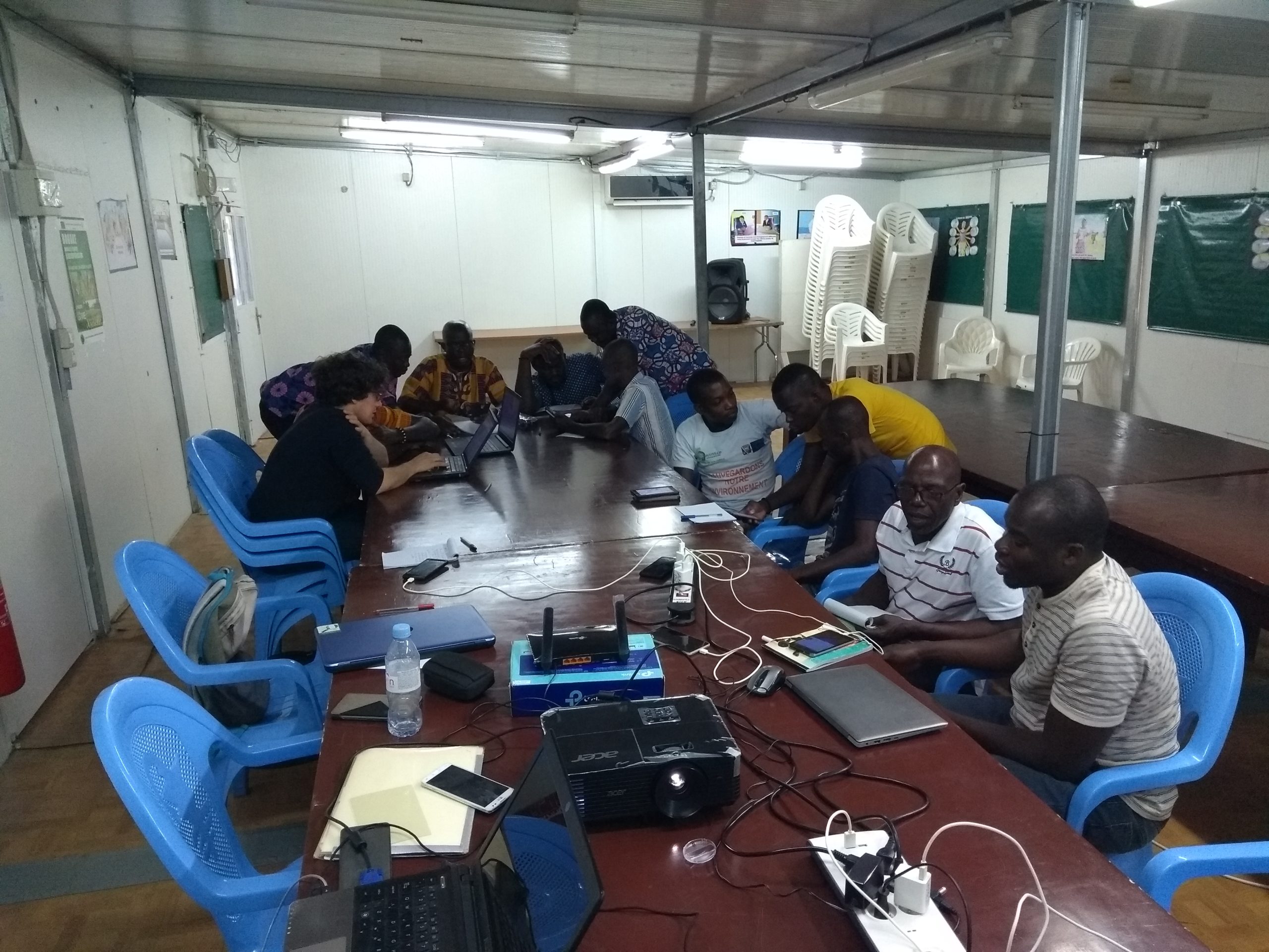
The LLg mission team worked with the CohéSIoN 2018 cartographers at the Pierre Richet Institute from July 11 to 19 to build the capacity of the CohéSIoN 2019 partners from academic, community organizations, and professionals from the Regional Health Directorate (DRS) and the Technical Services Directorate (DST) of the Bouaké City Hall, so that they could be trained and supported and thus empowered to participate in the 2019 CohéSIoN urban surveys, accompanied by the mission team and the CohéSIoN 2018 surveyors.
Their learning program combined, on the one hand, the methods, techniques, and tools required for the creation of open geospatial data within the framework of the 2019 CohéSIoN urban geographic surveys and, on the other hand, fundamental concepts of OpenStreetMap as well as essential skills regarding the reuse of this project’s open spatial data, which were taught through group or individualized lab training courses.
To provide a comprehensive overview of the open-source geomatics platform CohéSIoN 2019, this learning program included demonstration sessions on how to use the KoBoToolbox web platform for designing and managing questionnaires and data, as well as uMap and QGIS for designing and conducting new urban geomatics surveys.
These partners made direct, regular, and repeated use of these OSM and KoBoCollect data creation tools both in the classroom and in the field, with support from the LLg team and the CohéSIoN 2018 mappers as part of the 2019 field surveys.
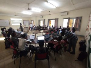
Launch of open science lab activities in free geomatics for beginners
Co-developed by the LLg team and the CohéSIoN 2018 cartographers, the first versions of the open-source geomatics activity programs for the open science lab were developed for audiences with no prior cartographic background, with the aim of using OpenStreetMap tools and data to teach the basics of cartography as a discipline, map reading, and fostering public interest in the geographic data produced by the CohéSIoN project.
The initial implementation of these training programs, delivered through customized training activities, has benefited both individuals (members of the DRS and engineers from the DST) and groups (city hall staff), covering the following aspects of the methods, techniques, and tools of the CohéSIoN 2019 geomatics system:
- Information, awareness-raising, and training on the use of the OSM project’s open geographic resources via osm.org web maps, using uMap, Field Papers atlases, the MapOSMatic automatic mapping service, the OSM data download API Overpass (website and QuickOSM extension in QGIS), and the data download services BBBike.org and HOT Export;
- Information, awareness-raising, and training on OpenStreetMap mapping (OsmAnd and Mapillary data collection tools, JOSM editor), the OpenDataKit digital field notebook technology from the KoBoToolbox project (questionnaire and data design/administration roles), uMap, and QGIS for the design and conduct of thematic geomatics surveys
Ultimately, this second mission helped strengthen both the data produced as part of CohéSIoN and the geomatics skills of the group of partners participating in the project, by involving the cartographers trained in 2018 in all activities related to the creation and organization of new geographic surveys and by empowering them to serve as co-trainers for new cartographers using various learning methods.
The text has been translated from French by DeepL.com (free version).
Location