Open-source geomatics support for the National Program for the Control of Human African Trypanosomiasis in Guinea – 2021-2022

Following a first capacity-building program implemented in 2019–2020, LLg organized a new program in 2021–2022 combining training on OpenStreetMap, Open Data, and open-source GIS, as well as the securing, improvement, and dissemination of operational data via IDS for the benefit of the Guinean Vector Control (LAV) team of the National Program for the Control of African Human Trypanosomiasis (PNLTHA).
Context and Approach
While the 2019–2020 program was led by IRD and its partner, the Institut Bouisson Bertrand, as part of the TrypaNO! 1 project, the 2021–2022 program was funded and coordinated by FIND as a capacity-building activity for the TrypaNO! project 2. Although the allocated budget did not allow for the inclusion of community and academic activities again, the program was designed as a logical continuation of the previous one, combining both an improvement of the geomatics methodologies and techniques available to the LAV team—this time reinforced through their integration into the LLg IDS—and a series of practical training sessions covering OpenStreetMap, ODK-KoBoToolbox, QGIS, and geOrchestra. The 2020–2021 program, however, faced new constraints.
Indeed, the fact that this period coincided with the global COVID-19 pandemic led, in particular, to a drastic reduction in field missions by experts from abroad, as donors were reluctant to take the risk that such missions might trigger an outbreak of infection in recipient countries. The capacity-building program funded by FIND therefore had to be organized remotely by LLg. The local political context also posed challenges, due to the curfews and days of protests that marked Guinea over these two years. Finally, it was also necessary to adapt to the demands of the LAV team’s schedule.
This new situation nevertheless had a limited impact on the capacity-building program, given the approach developed by LLg in all its similar programs—including the one organized for the LAV in 2019–2020—which consists of building local capacity in parallel with the main capacity-building program so that young geographers can become co-trainers capable of serving as local liaisons. This approach was particularly emphasized during the 2019–2020 program with a one-week preparatory workshop for trainer-trainers, which enabled the LAV to establish a local community support component and secure future partners capable of supporting them. The LAV also regularly sought the assistance of one of these partners during its field deployment phases.
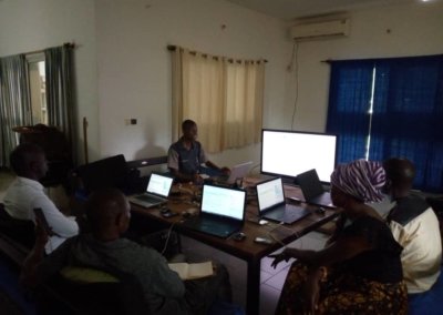
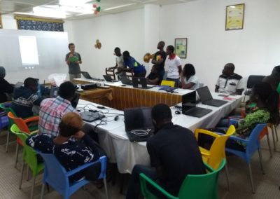
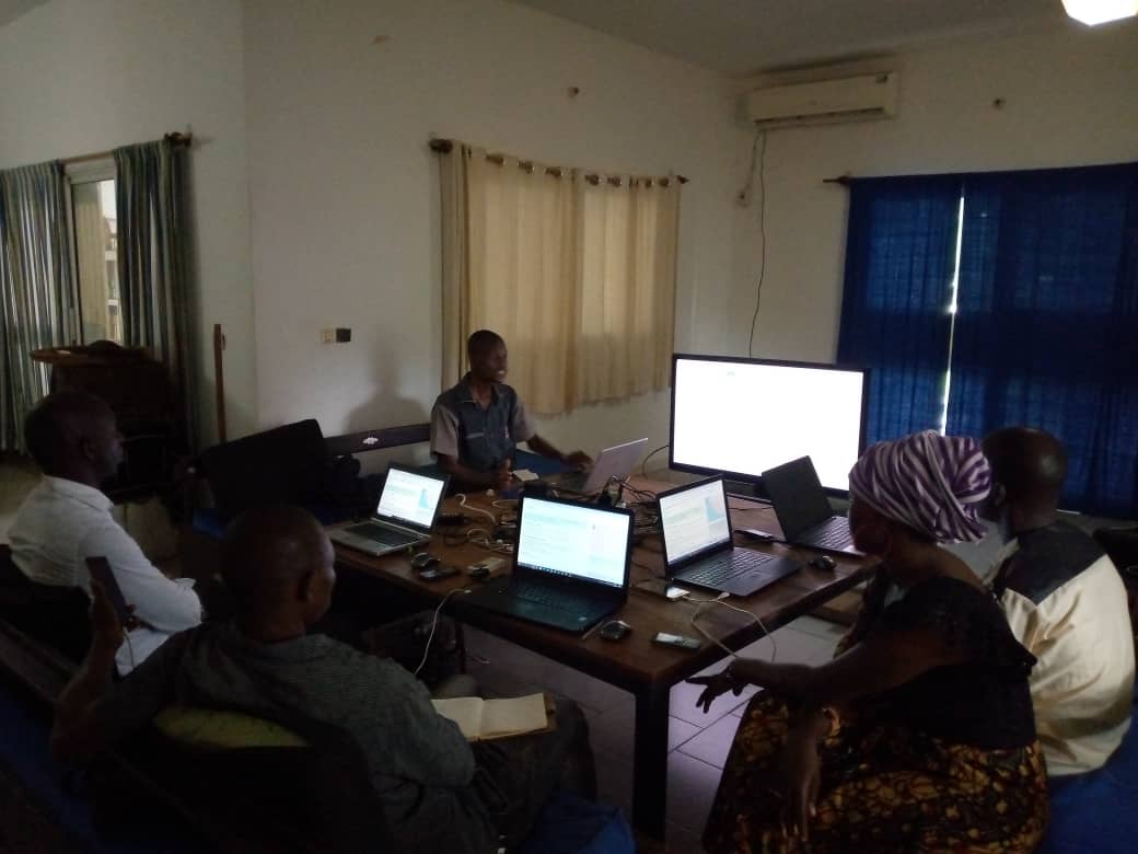
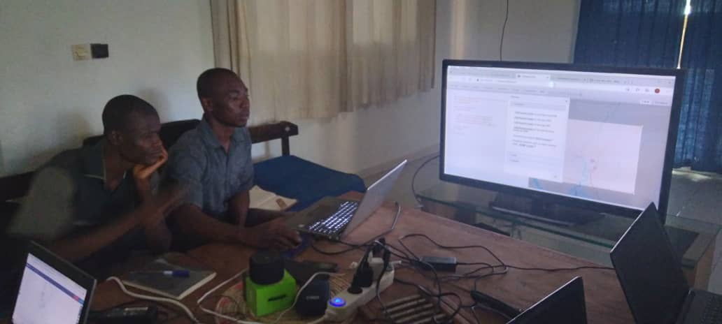
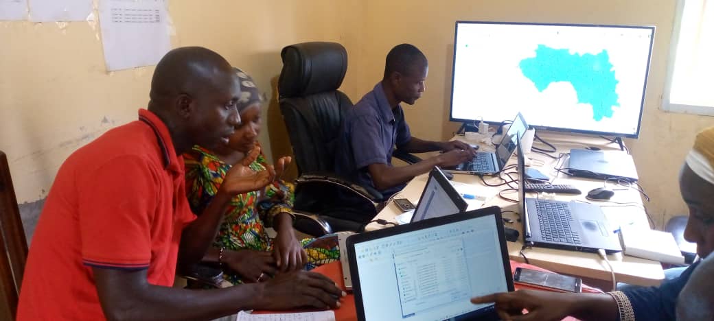
Consequently, the training activities were coordinated remotely by LLg in the form of thematic workshops, each of which included a preparatory phase with the team of local trainers—composed of four young geographers from the University of Sonfonia— followed by an implementation phase during which the local trainers served as local liaisons for the capacity-building program and delivered technical training to LAV team members with remote support from LLg. Organized during the LAV team’s availability periods, either in Dubréka or Conakry, the training workshops spanned from August 2021 to September 2022 for a total of 26 days.
Securing, improving, and disseminating LAV vector data through geOrchestra
Until then, all data produced by the PNLTHA’s LAV had been stored on team members’ laptops, which posed a risk to their long-term preservation and hindered their dissemination and utilization within the scientific community. The only exception was data collected in the field, which had been hosted on KoBoToolbox servers since the mission carried out by LLg in 2019. While this ensured partial data security, it did not allow for any dissemination and forced the team to analyze the data using KoBoToolbox’s limited internal tools or through traditional local data exploration using CSV files.
To simultaneously secure, improve, and disseminate the LAV’s vector data, LLg integrated it into the IFL, its Spatial Data Infrastructure based on the open-source geOrchestra project, using a two-pronged approach:
- evaluate, document, clean, consolidate, then enhance (style, metadata) and disseminate the historical and reference datasets produced as part of the two Trypa-NO! programs
- implement a daily backup process, enrich the data collected in the field using KoBoToolbox (thematic data) and OpenStreetMap (reference data), and provide automatic map visualization and analysis.
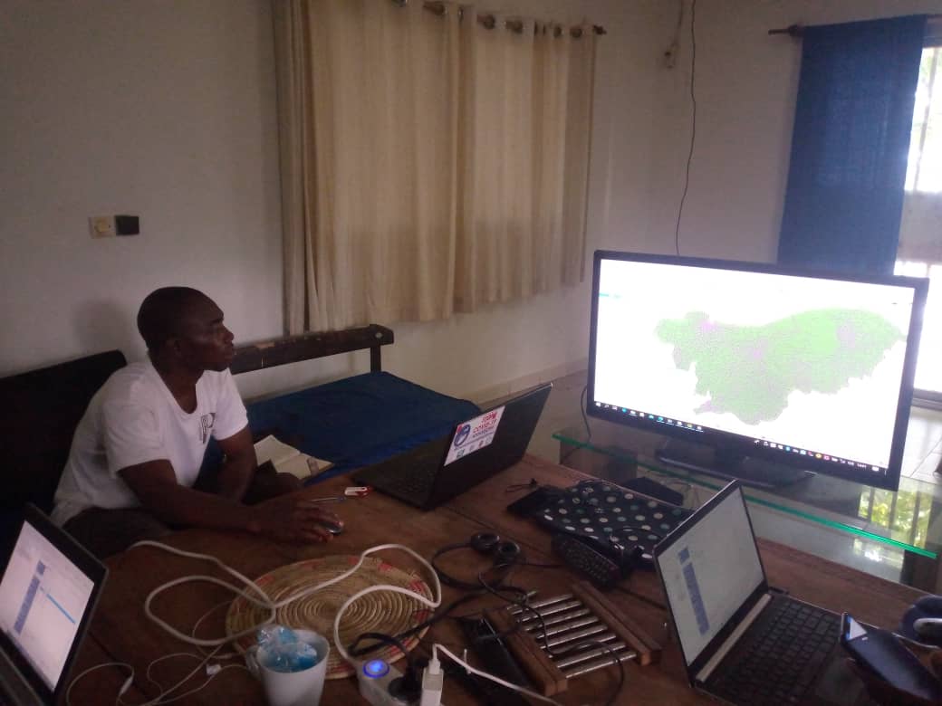
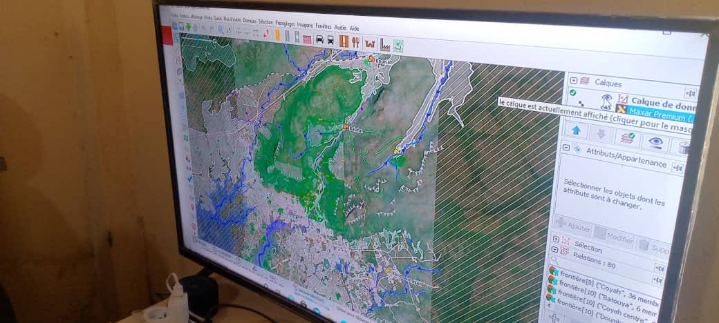
All available datasets can be accessed via a MapStore map and specific metadata records that comply with ISO standards, and can be downloaded in various formats or loaded via standardized OGC (Open Geospatial Consortium) feeds from any compatible client. Access is restricted for LAV business data, but open to everyone for OSM data:
Continuing to build the skills of local trainers through the preparation of workshops for the PNLTHA LAV team
LLg recruited four geographers from the local OSM community from among those who already had training experience with PNLTHA during the 2019-2020 program, with the aim of having them serve as local liaisons for the LAV team capacity-building workshops, even though these young geographers did not initially master all aspects of the workshops.
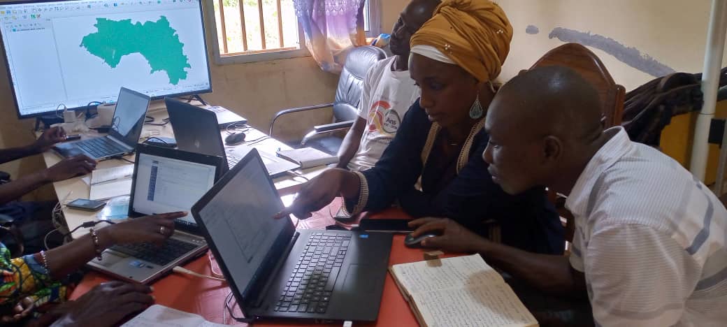
Thus, each training session for the LAV core team was prepared in advance with the local team of trainers, during refresher or advanced training courses held prior to each new workshop for the LAV team. These sessions were most often held over a single day, either remotely from a meeting location that allowed for discussion or in separate locations when local constraints prevented them from gathering together. These sessions alternated between hands-on practice with tools and the workflow and a review of the supporting documentation produced by LLg, combining written materials and narrated videos, following the agenda for each thematic workshop prepared by LLg.
The workshop days also provided opportunities for additional learning, for example when a specific question raised by a member of the LAV team or an unforeseen technical issue required remote assistance from LLg, as the local trainers were unable to address it themselves.
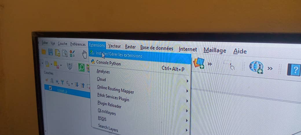
A reinforcement in OSM-focused geomatics, open-source geomatics tools, and GIS as a logical continuation of the previous program
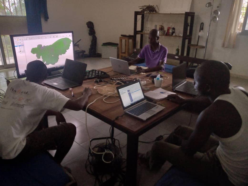
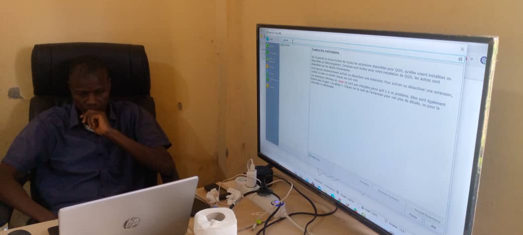
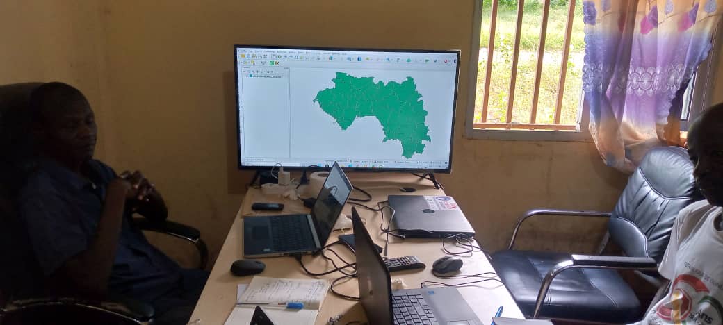
LLg provided technical coordination and remote supervision of the training activities for the Vector Control Team, which focused on the creation, management, and visualization of vector geographic data, map production, and web-based sharing using appropriate geomatics tools (OSM, KoBoToolbox, GIS, IDS). Each of these topics was covered in specific sessions spanning several days, supported by the same set of written materials and annotated videos, all produced by LLg:
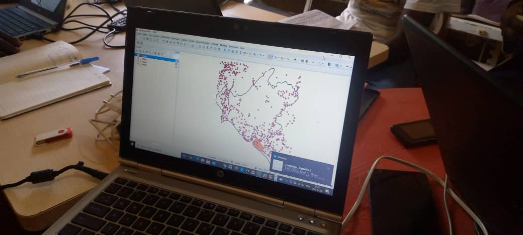
- mapping in OpenStreetMap of basic data useful to the PNLTHA: locations and names of villages, hamlets, and localities; access roads; and contextual data for villages (buildings, fences, residential areas, cultivated fields, natural areas)
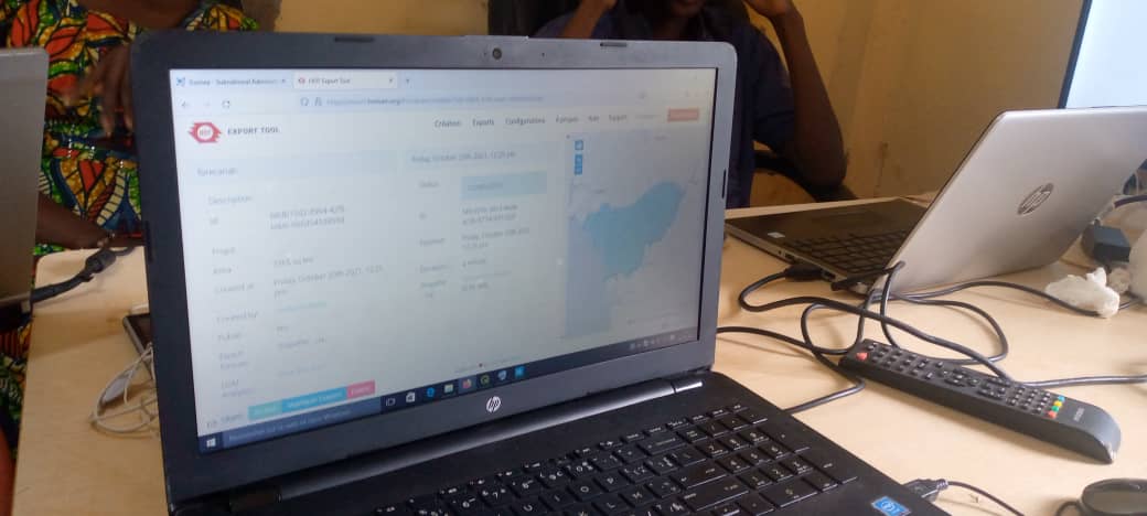
- preparation of survey missions (LAV or medical team) by identifying the villages and hamlets to be surveyed, using OpenStreetMap location data to create printable maps and datasets shared on smartphones and usable in the Android OsmAnd app, according to the methodology developed in 2019 with the PNLTHA teams
- creation of new KoBoToolbox forms based on a data model tailored to survey needs
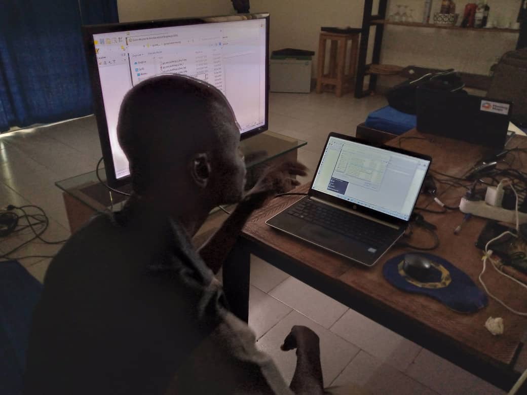
- retrieval and backup of data collected using standard KoBoToolbox tools, as well as via geographic layers updated daily on SDI (see the section below on backing up and visualizing business data
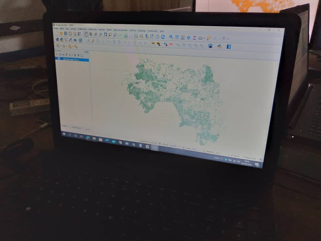
- offline use of survey data in QGIS for visualization and analysis, leveraging offline file systems and styles designed by LLg (generic and PNLTHA-specific styles that, for example, allow access to KoBoToolbox images from within QGIS)
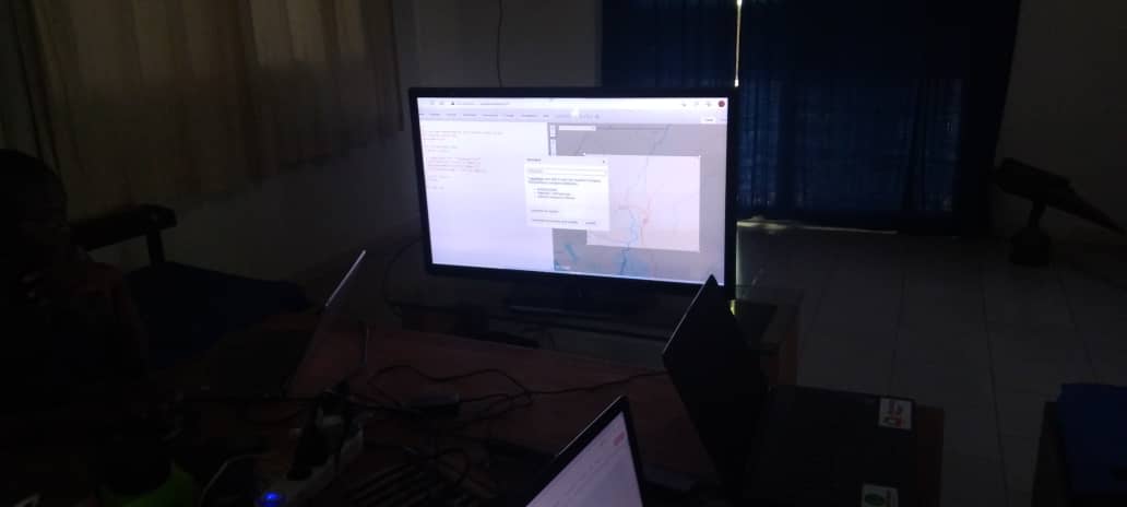
- creation of web maps from MapStore to enable the exchange and dissemination of PNLTHA data, either on a restricted basis among project partners or openly to the general public
These workshops helped strengthen the core mission of the LAV unit as well as the support functions it already performs within the PNLTHA, particularly for the medical team (support for planning medical surveys), and for other programs (such as neglected diseases or malaria) beyond the PNLTHA.
Translated with DeepL.com, free version
Location