CohéSIoN: “Socio-Territorial Constructs of Inequality: Territorial Assessment and Decision Support” in Bouaké – 2018
Apr 2018
Background and Approach
Building on years of volunteer and economic collaborations in Burkina Faso (beginning in 2014), Côte d’Ivoire (beginning in 2015), Benin (beginning in 2016), and other French-speaking countries in West Africa, LLg and the IRD have joined forces to design and implement the CohéSIoN research project for the period 2018–2021.
Funded by France’s National Research Agency (ANR) and designed by IRD and LLg, the project is being carried out by a consortium of research institutions:
CohéSIoN is a research project that uses a geographic approach to determine how health inequalities contribute to and are shaped by the construction of the “territory” of Bouaké, the second-largest city in Côte d’Ivoire, and uses malaria as an indicator of these inequalities.
As part of a truly multidisciplinary approach, the ANR CohéSIoN project pursues three specific objectives:
-
Task 1 consists of describing the past and current urbanization process taking place in the city of Bouaké in order to determine how it may be contributing to unequal health outcomes
-
Task 2 determines the risk profiles of populations in the selected areas – identified at the end of Task 1 and studied at the household level – in order to characterize how the population’s exposure to malaria varies by location and time
-
Finally, Task 3 consists of describing the socio-spatial structure of the selected territories from a public health perspective in order to propose a territorial health assessment
The research combines quantitative and qualitative methods and brings together geography, the social sciences, and the biomedical sciences within a comprehensive open science paradigm.
The first LLg field mission took place between March and April 2018 during the project’s launch.
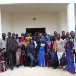
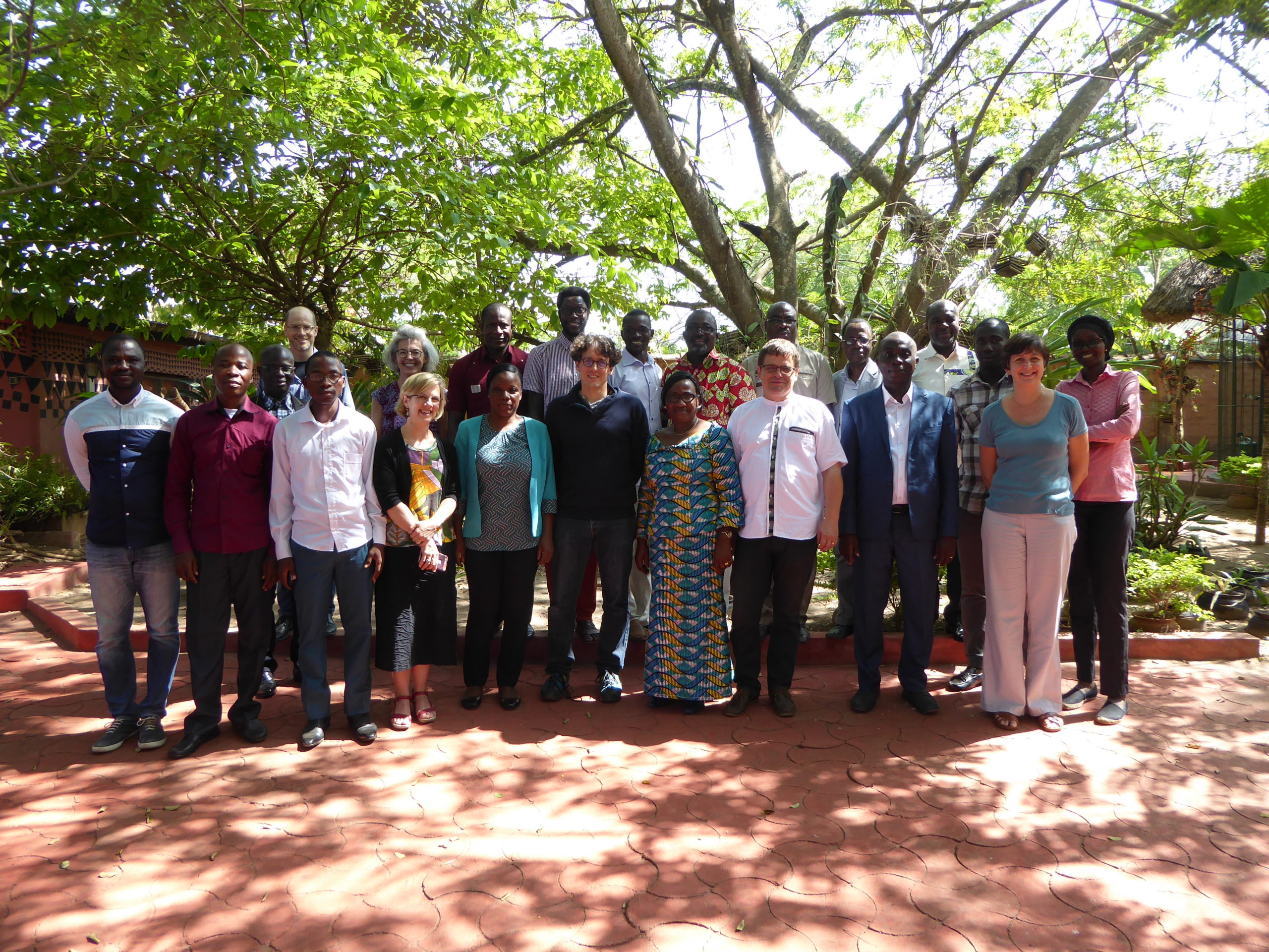
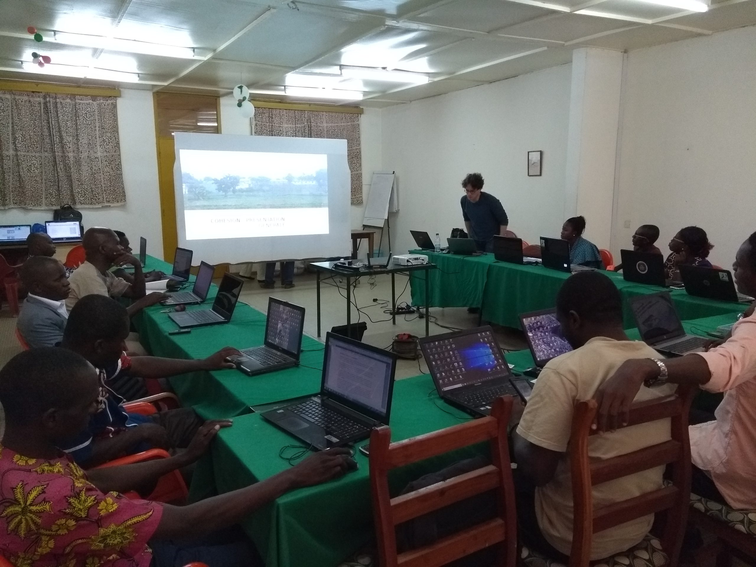
ANR Kickoff Workshop and Definition of Geographic Surveys
As part of the ANR kickoff workshop bringing together the various project partners, LLg facilitated the session dedicated to the OpenStreetMap mapping approach, Open Geomatics and open data for the Cohésion project, and participated in interdisciplinary work combining fieldwork and methodological discussions to define the needs for spatial analysis and cartographic products following the geographic surveys. Experienced members of OSM Côte d’Ivoire involved in the project were able to participate in the discussions.
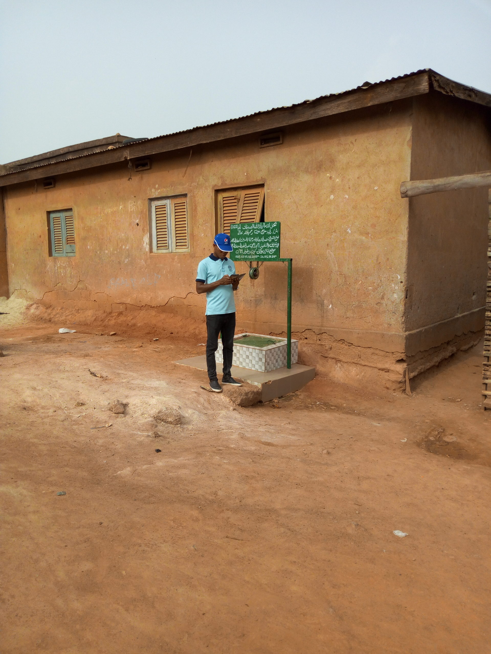
In particular, it was decided that the geographic features (map features) surveyed in the field for the ANR’s needs would be: healthcare facilities in the biomedical sector, educational facilities, places of worship, public services, and community water sources.
By involving experienced members of OSM Côte d’Ivoire – who would subsequently coordinate the field survey – LLg then:
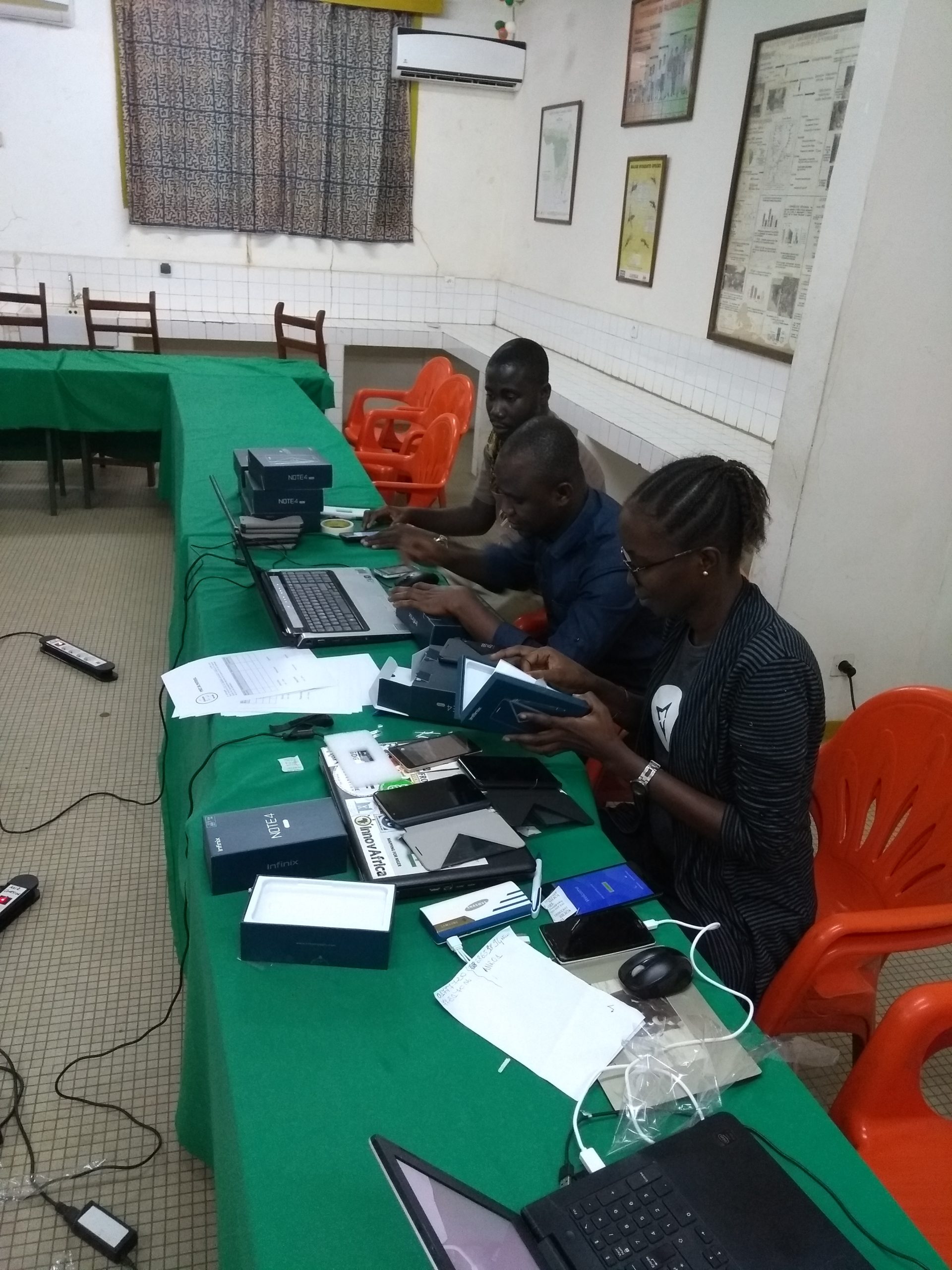
- designed the component for creating thematic geographic data, which involved semantic modeling tailored to the project’s needs and the context of Bouaké, selecting the tools and methods to be used, and developing data collection materials. Since the selected geographic features were all compatible with OpenStreetMap, the decision was made to host the data directly on OpenStreetMap. The data was first collected in the field using an ODK form (which allowed for the addition of all selected and modeled attributes) and then integrated into the OSM database using the JOSM desktop editor;
- helped identify these tools among students in Bouaké and the most experienced members of the Bouaké OSM community, who were contracted by the IRD for the duration of the geographic surveys;
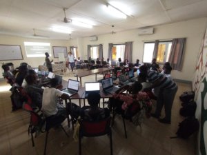
- prepared the resources and curriculum for the training workshop for the fifteen or so people in charge of the surveys;
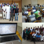
- procured 12 smartphones locally for the various field surveys conducted during the project period
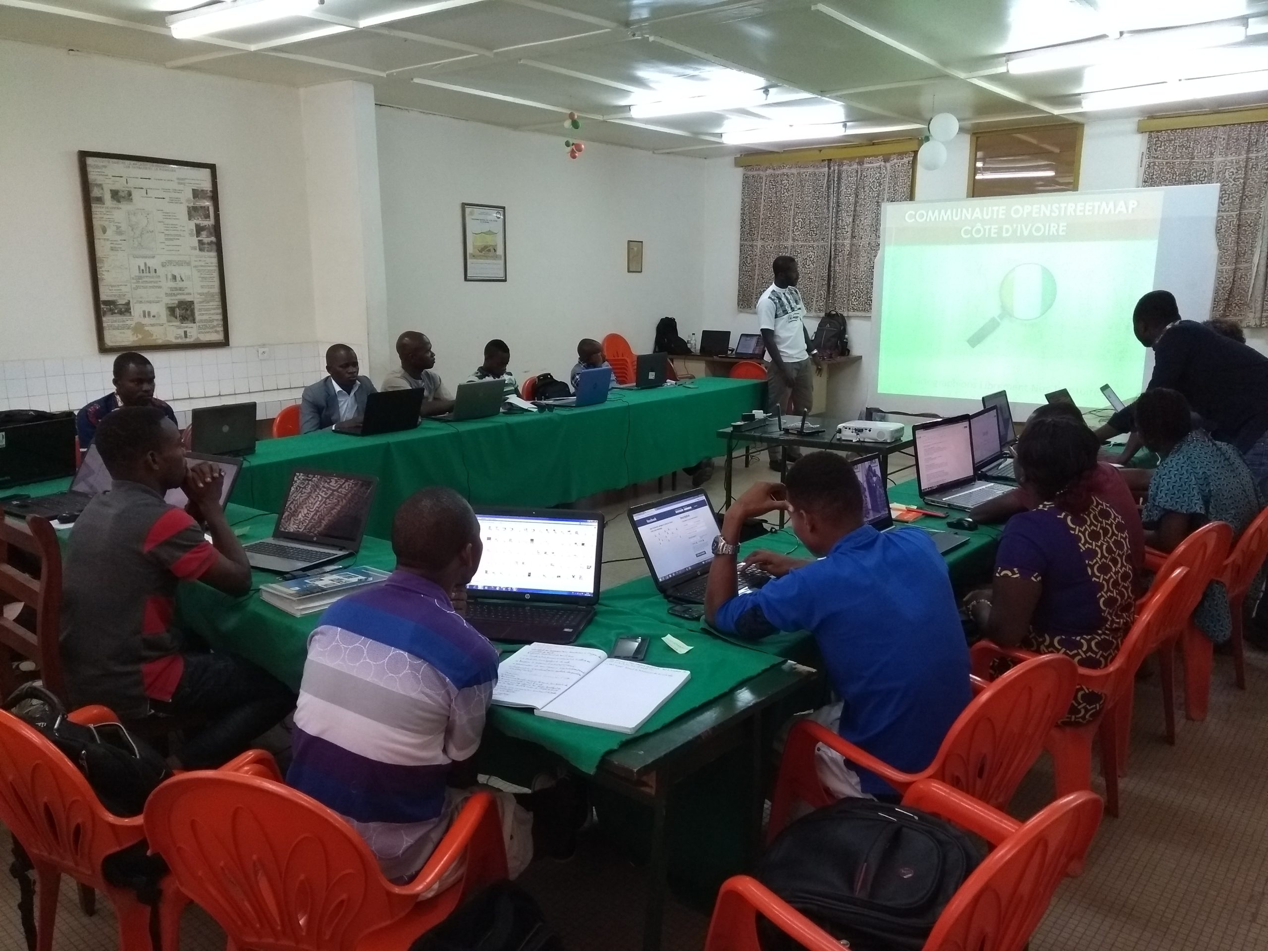
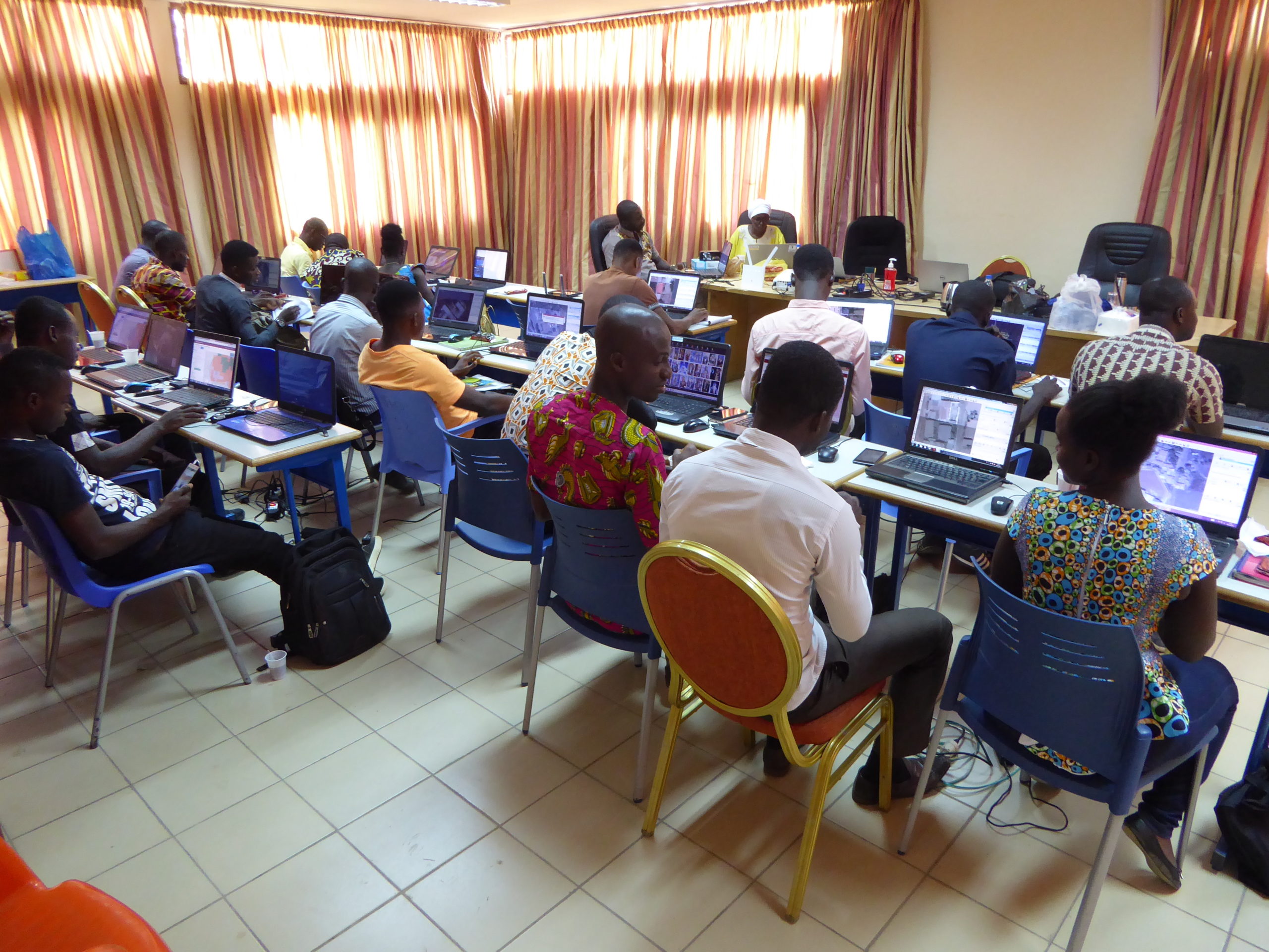
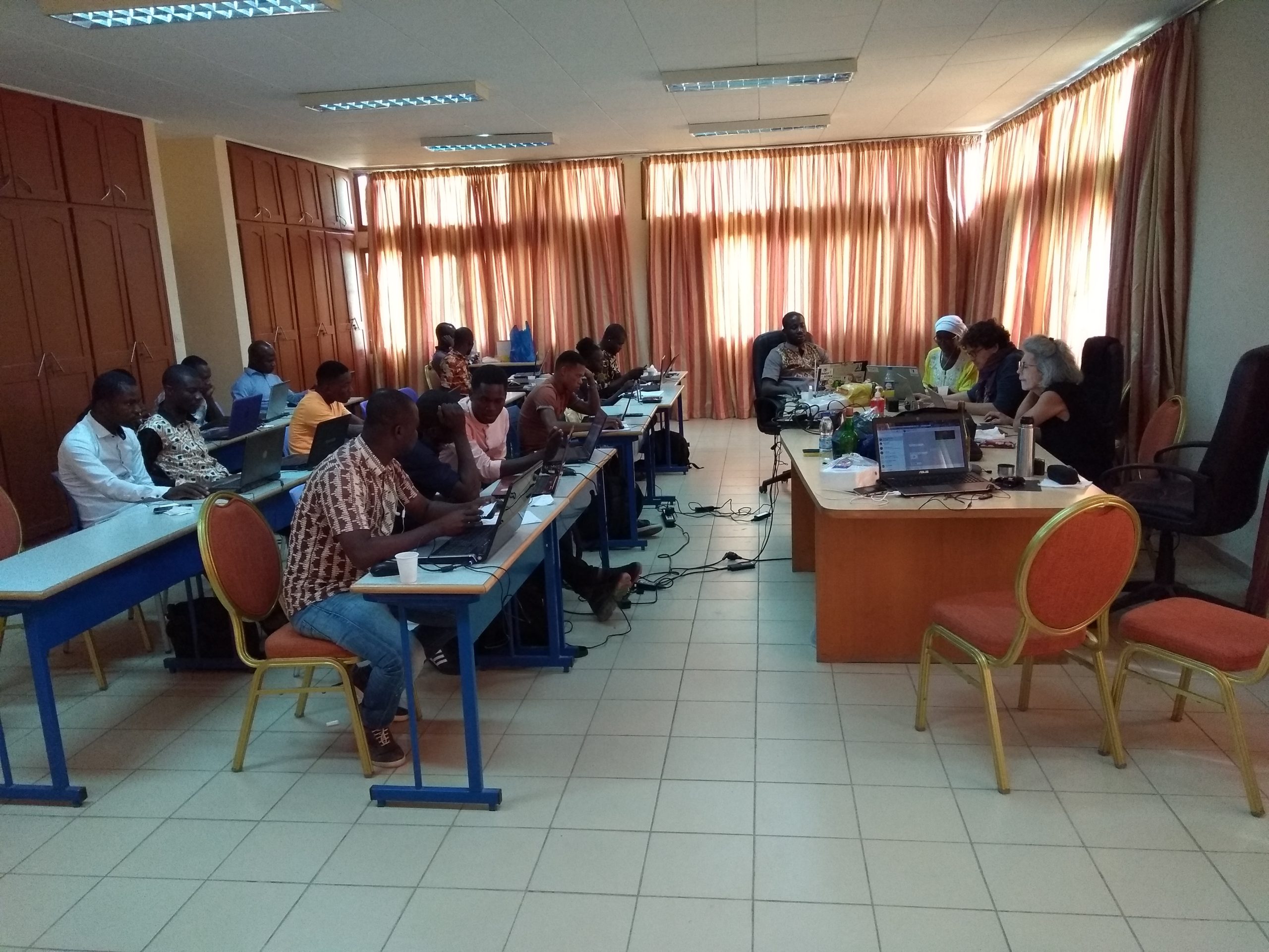
Awareness-raising and training workshop on OpenStreetMap geographic data collection and mapping tools tailored to the needs of CohéSIoN
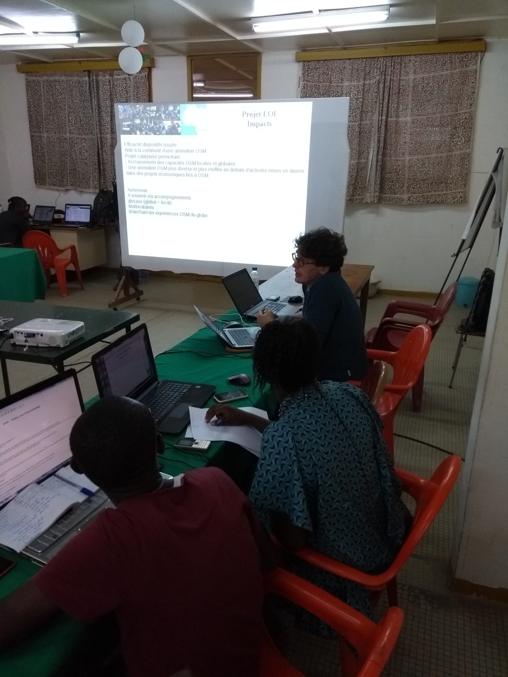
In line with its approach aimed at training true OSM mappers – rather than mere surveyors – LLg did not limit itself to training surveyors solely on the tools used for data collection, but also incorporated the following lessons to ensure they became fully informed participants in both the CohéSIoN project and the OpenStreetMap project:
- the objectives and approaches of the ANR Cohésion project, its geographic data needs, and the geomatics analyses and products typical of this type of research program
- concepts, methodologies, and use cases for OSM, Free Geomatics, and open data approaches in support of research projects in the Global South from a development perspective
- Approaches, techniques, and tools for collecting geolocated geographic data (OsmAnd, KoBoToolbox) and for editing and creating geographic data in OpenStreetMap, incorporating coordination and quality control (JOSM)
- Methodology for planning, coordinating, reusing, and sharing maps and geographic data, as well as for quality control, developed by LLg for the field data collection phase
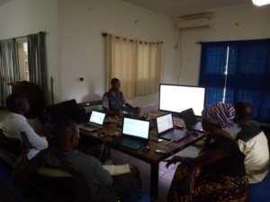
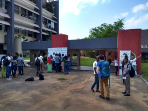
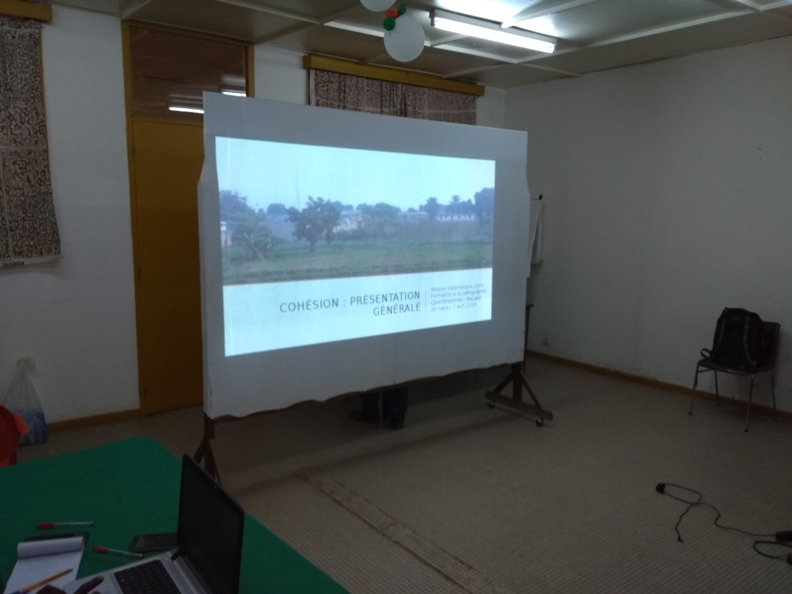
Both the workshop and the mapping phase were organized in the main conference room of the Institut Pierre Richet (IPR), a project partner that had previously hosted OSM and open-source geomatics training sessions organized by LLg members.
Mapping the city of Bouaké using a combination of field surveys and satellite imagery digitization
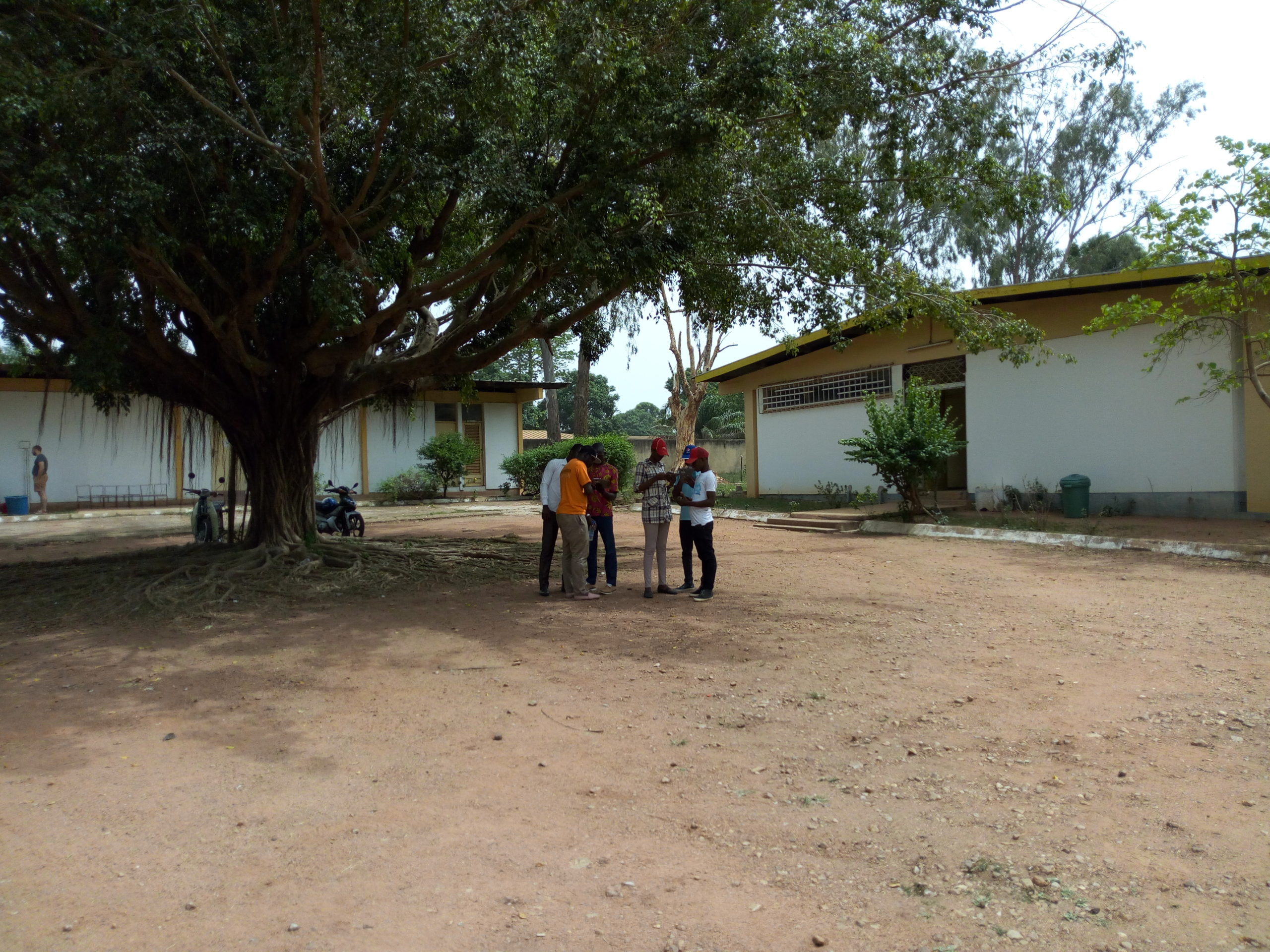
The awareness-raising and initial training workshop was immediately followed by a week of hands-on practice during which participants were able to begin field surveys and LLg refined the methodology for collecting and integrating data into OSM. The following week marked the start of the mapping production phase for Bouaké for the CohéSIoN project, based on two complementary approaches:
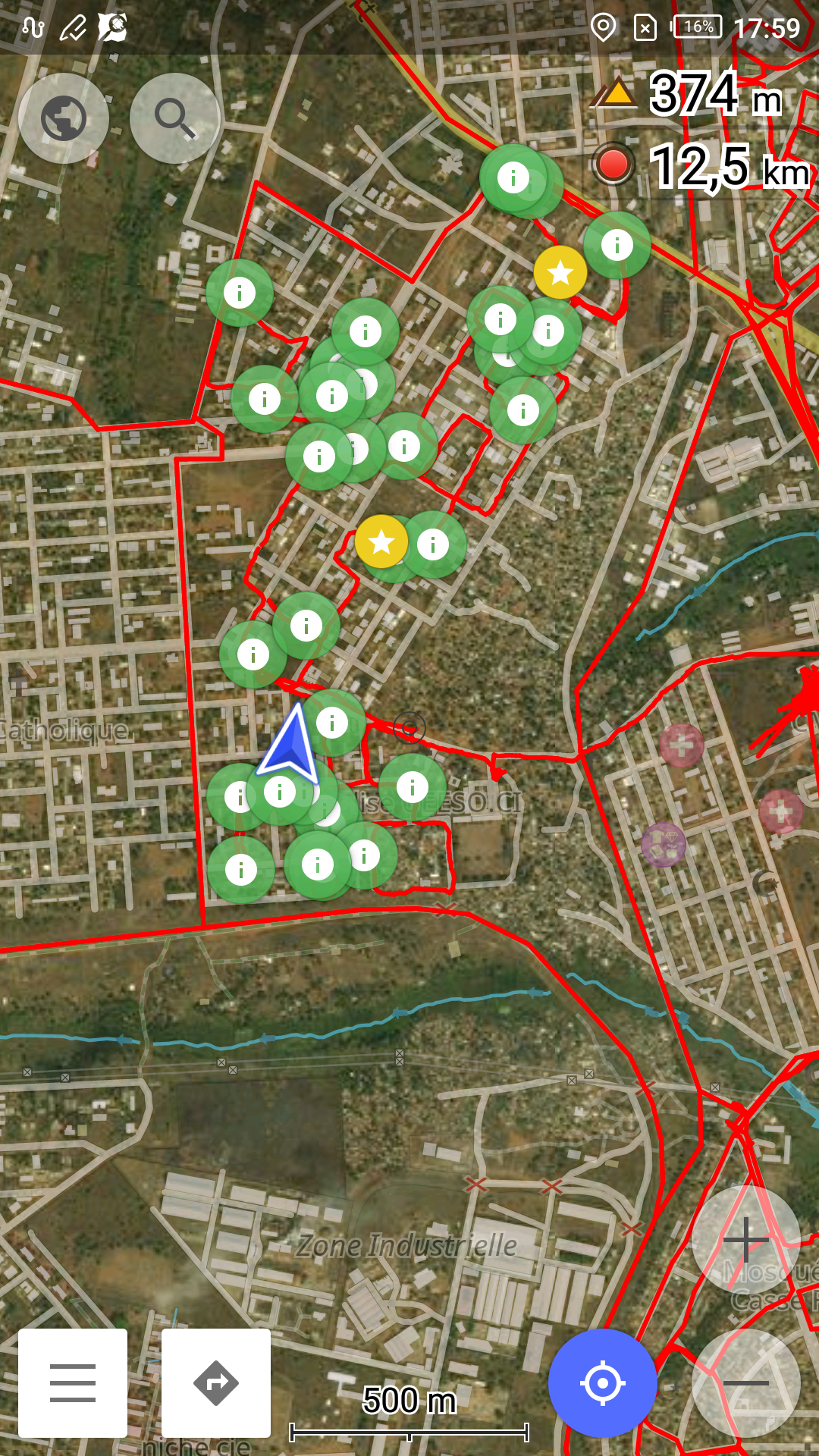
- Geographic surveys conducted in pairs across data collection zones divided according to the city’s neighborhoods, using a uMap (see below) to save and share the recorded routes from fieldwork to ensure complete coverage
- Digitizing the road network, buildings, and perimeter walls throughout the city in JOSM using the open-source French-language OSM Task Manager instance deployed by LLg, and utilizing freely accessible Digital Globe imagery for OSM contributions. This mapping activity was organized early in the morning before field trips (known as “maptime”) or in the middle or late afternoon once the data collected in the field had been integrated into OSM.
LLg then supervised and co-facilitated – from the IPR – the practical training week and the first week of production alongside experienced members of the OSM Côte d’Ivoire community, who were responsible for organizing the remaining five weeks of mapping production. By the end of these weeks, the initial goal of fully mapping Bouaké had been achieved, demonstrating the effectiveness of the technical and human-centered approach implemented for this mapping project.
The text has been translated from French by DeepL.com (free version).
Location