Outreach and Training Workshops on OpenStreetMap and Open Geomatics in N’Djamena
May 2018
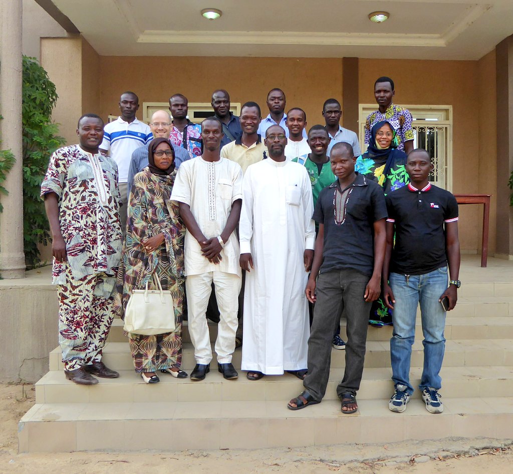


From April 30 to May 12, 2018, in N’Djamena, Chad, the Department of Economic and Digital Francophonie mobilized five experts (from Chad, Togo, and France), including a coordinator from Les Libres Géographes, to organize outreach and training workshops on free digital mapping (OpenStreetMap) and free Geomatics (QGIS and geOrchestra).
The training program, structured around a concrete humanitarian challenge – designed to spark greater interest among participants and strengthen community ties – achieved the following:
- The development of technical and organizational skills among a group of Chadian OSM facilitators
- A greater diversity of profiles within the Chadian OSM community
- The creation of a substantial volume of open geographic data on Chadian territory in the OpenStreetMap database
A unique context surrounding the emergence of the local OSM community
Members of the group that would later become Les Libres Géographes had previously carried out initiatives that helped launch the OSM project in Chad:
- beginning in 2012 as part of the 6-month EU-funded EUROSHA program, which was extended through the involvement of two volunteers from the Chadian free software association ADIL (Association for the Development of Free Software)
- and then the following year with a regional training workshop organized by the OIF/DFN focused on creating cross-platform mobile web applications using HTML5 and open map data from the OpenStreetMap project.
Also in 2014, a member of the collective coordinated a training program between the OIF/DFEN and ADIL, focused on OpenStreetMap mapping combined with free Geomatics using uMap and an introduction to QGIS for key leaders and trainers in Chad’s OpenStreetMap community, followed by knowledge-sharing activities.
Subsequently, Chad was integrated into the CarteInnov project starting in 2017, but no on-site capacity-building activities were organized. Meanwhile, due to the lack of easily accessible internet-connected locations to conduct activities in a country where internet costs are particularly high, local community activities became scarce, focusing on organizing mapathons in certain areas of Chad or participating in collective tasks organized by the global OSM community, particularly during the 2014–2015 Ebola crisis in West Africa.
The goal of the 2018 initiative was to revitalize and expand the OpenStreetMap community in Chad, train it in the new open-source mapping and geomatics techniques and tools that have emerged since late 2014 within the OpenStreetMap and open-source Geomatics ecosystems, and support it in implementing follow-up activities to this initiative.
An academic workshop for teachers, researchers, and students
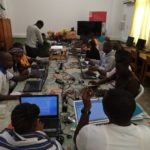
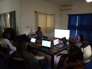
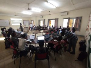
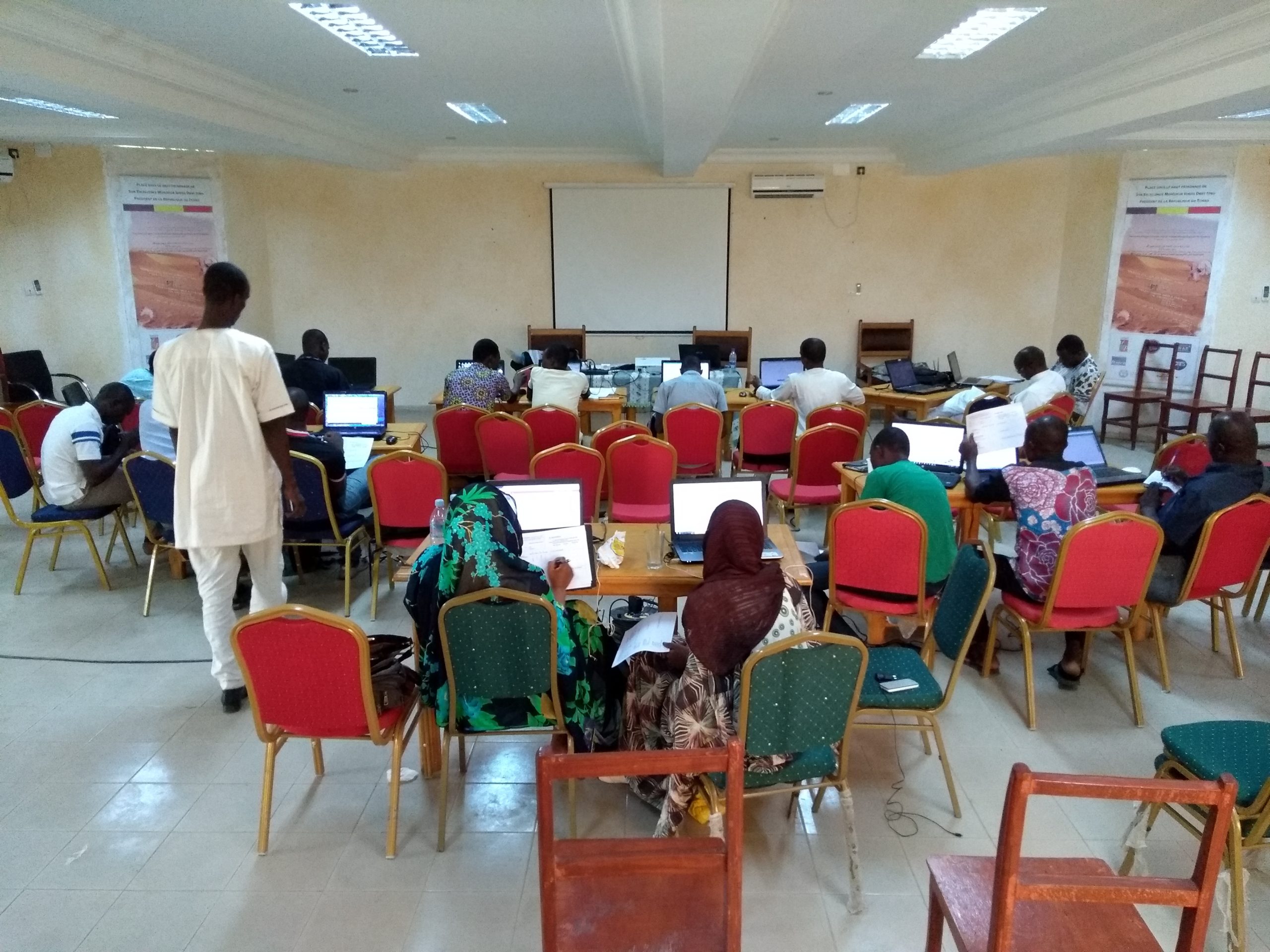
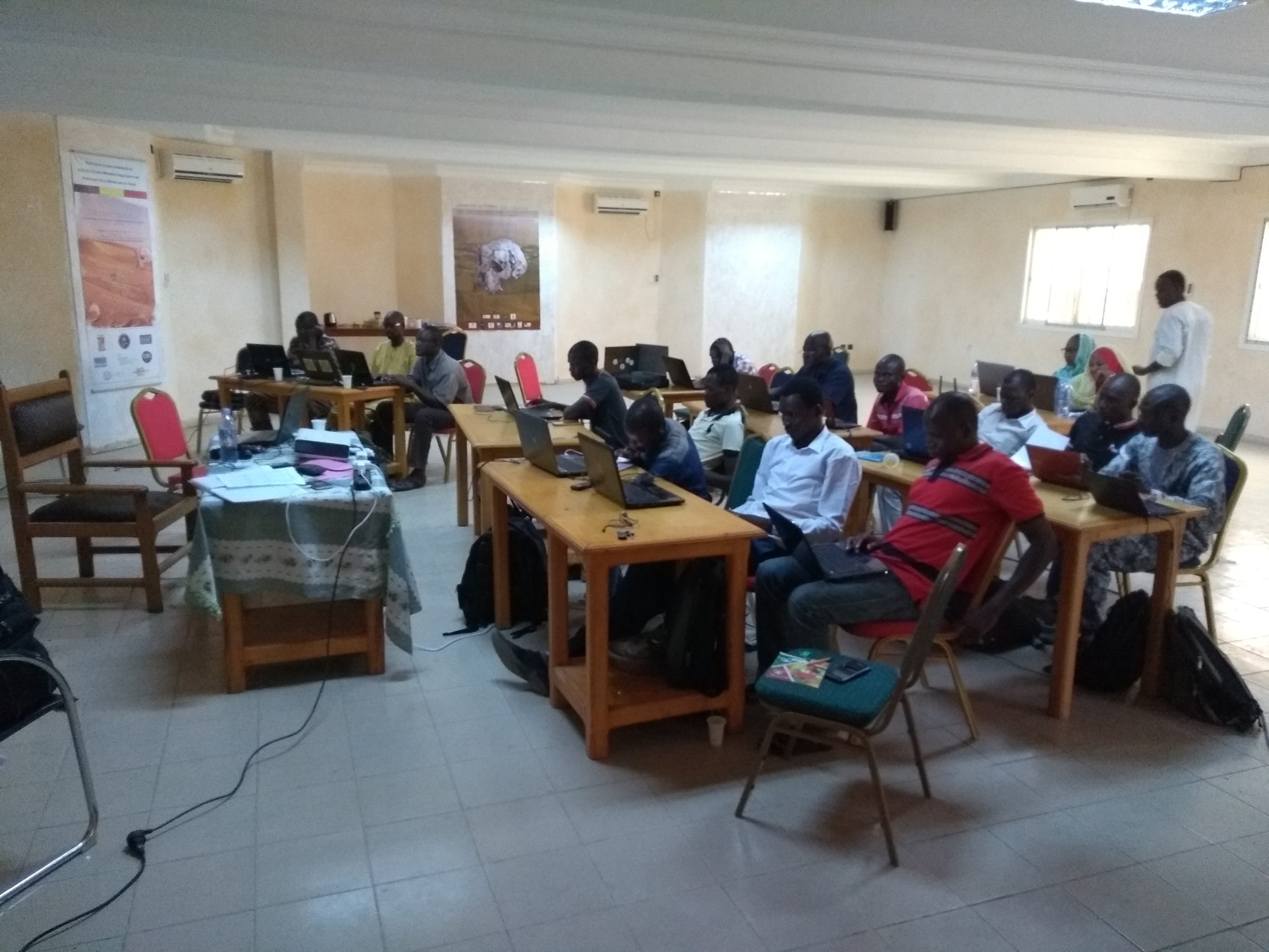
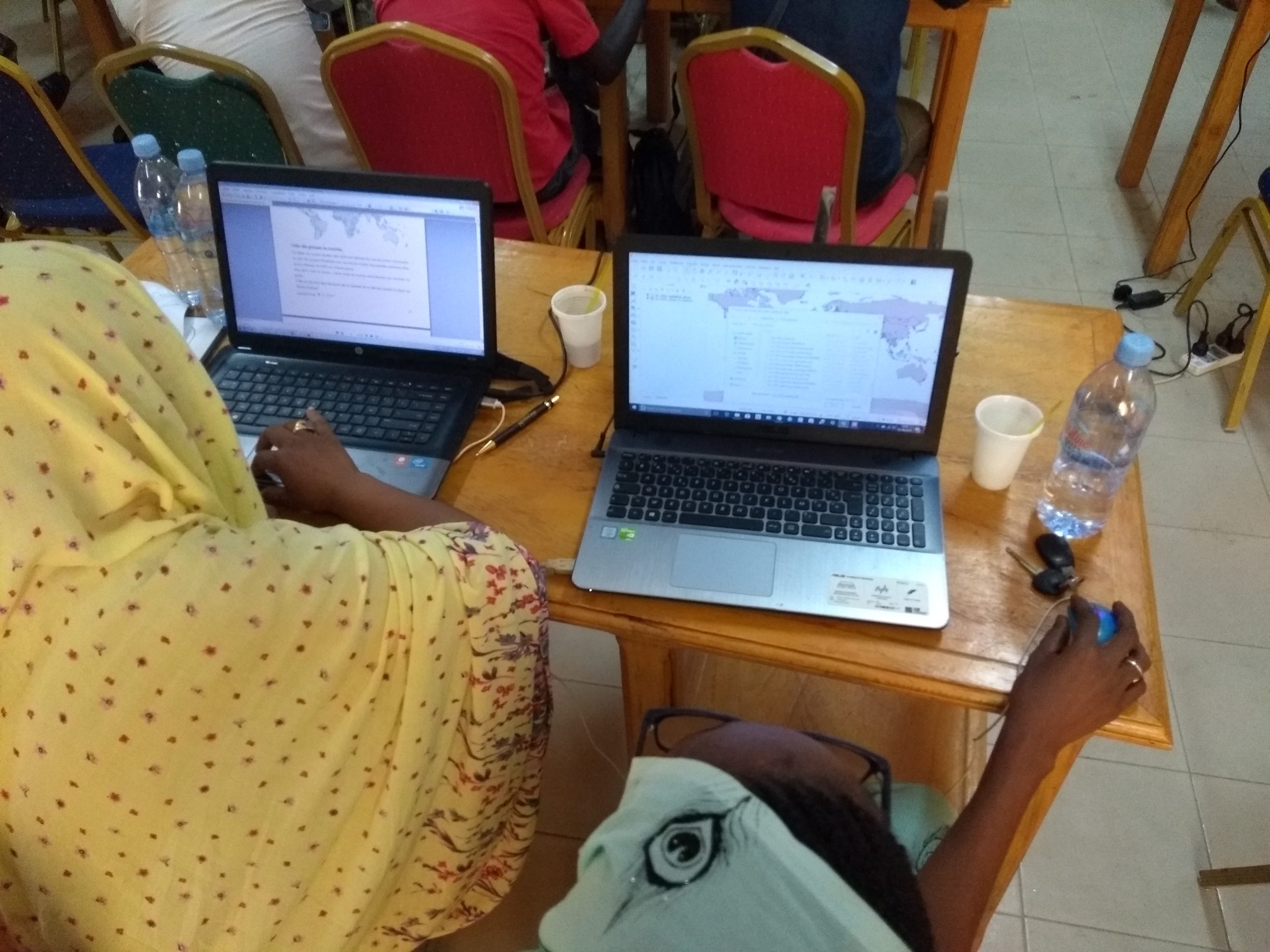
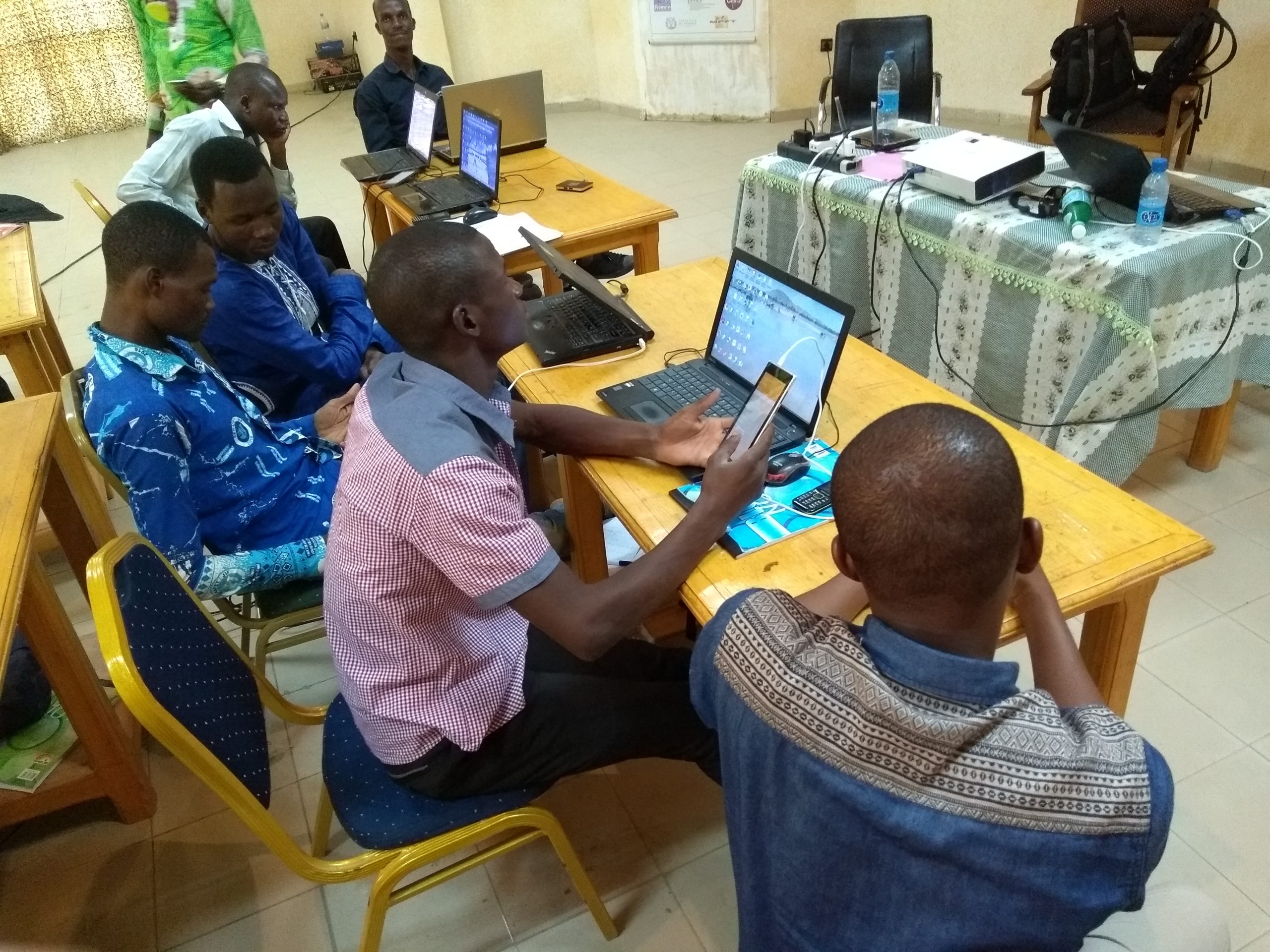
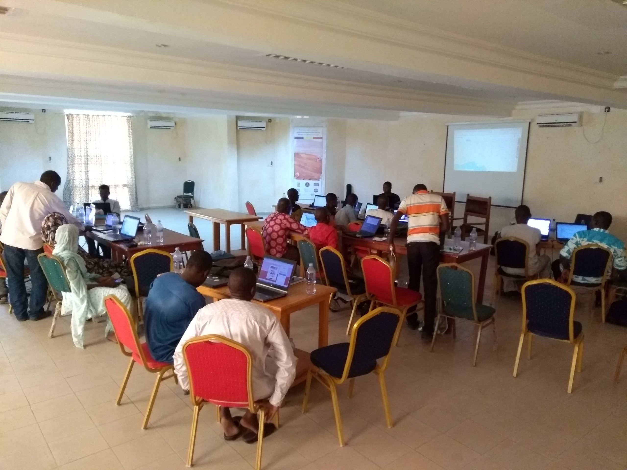
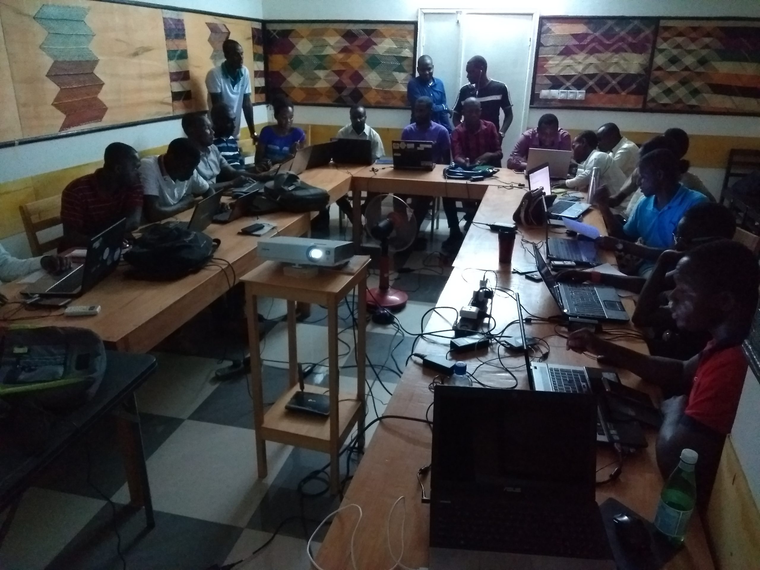
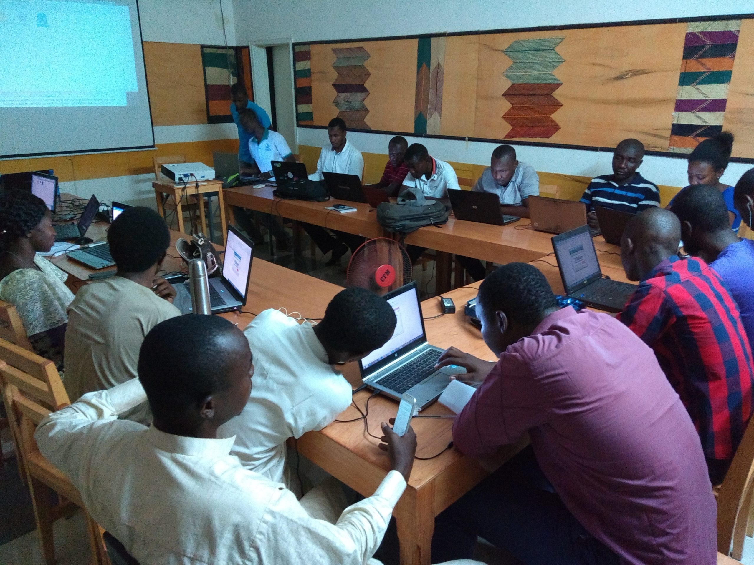
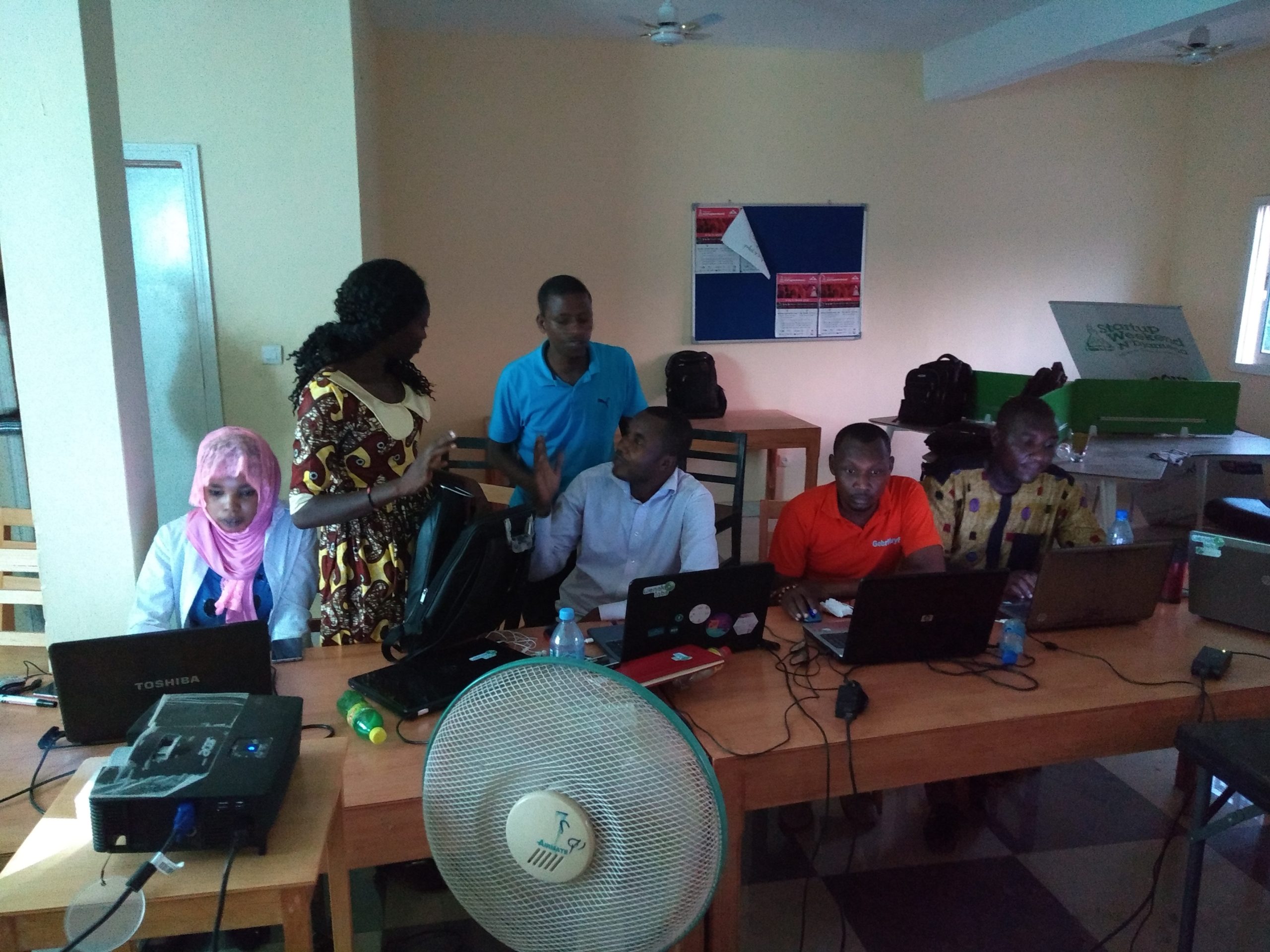
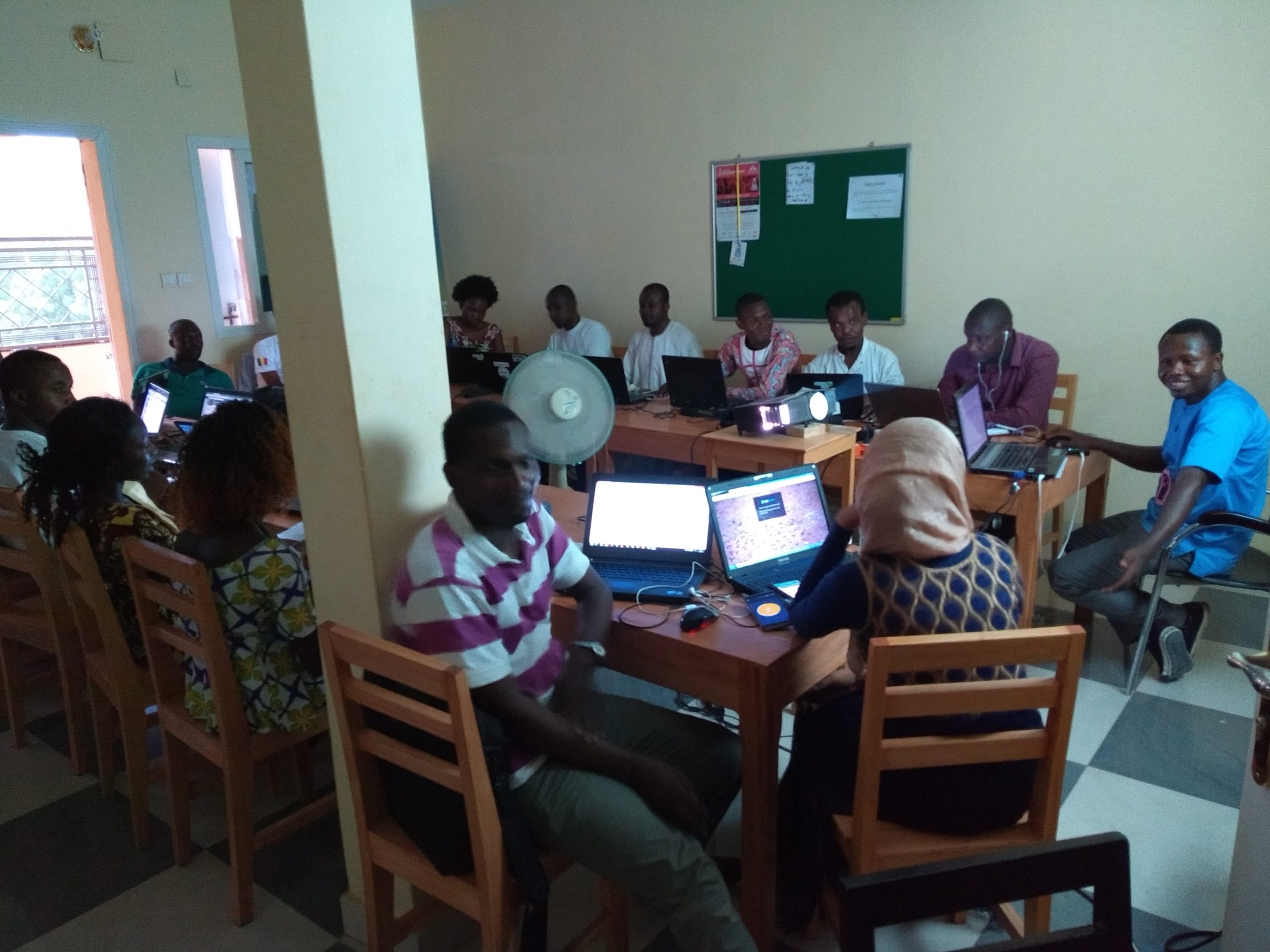
The National Center for Research and Development (CNRD), formerly the National Center for Research Support (CNAR) and a long-standing partner of the OSM Chad community since 2012, made its large, air-conditioned conference room available for two weeks. The room hosted an audience of 14 participants from the center’s remote sensing facility, as well as faculty members, researchers, and students from the Geography departments of the Universities of N’Djamena and Moundou. The active participation of these academic participants, who are naturally focused on geographic data, helped create new connections within the Chadian OSM community.
A second workshop, aimed more at the nonprofit and digital sectors as well as the private sector
At the same time, a workshop was held at Wenaklabs, a coworking space in Chad’s tech scene founded in 2014 that hosts several digital communities working on various projects and aims to become an incubation center. Wenaklabs was approached due to its notable work on open data, particularly during a two-day conference held in early March 2018 as part of Open Data Day. The organization made one of its rooms available for the entire duration of the training to 16 participants from various backgrounds (private sector, non-profit, and academia), who followed the same training program as at the CNRD. At the end of the workshop, Wenaklabs integrated OpenStreetMap and the tools of its ecosystem into its activities.
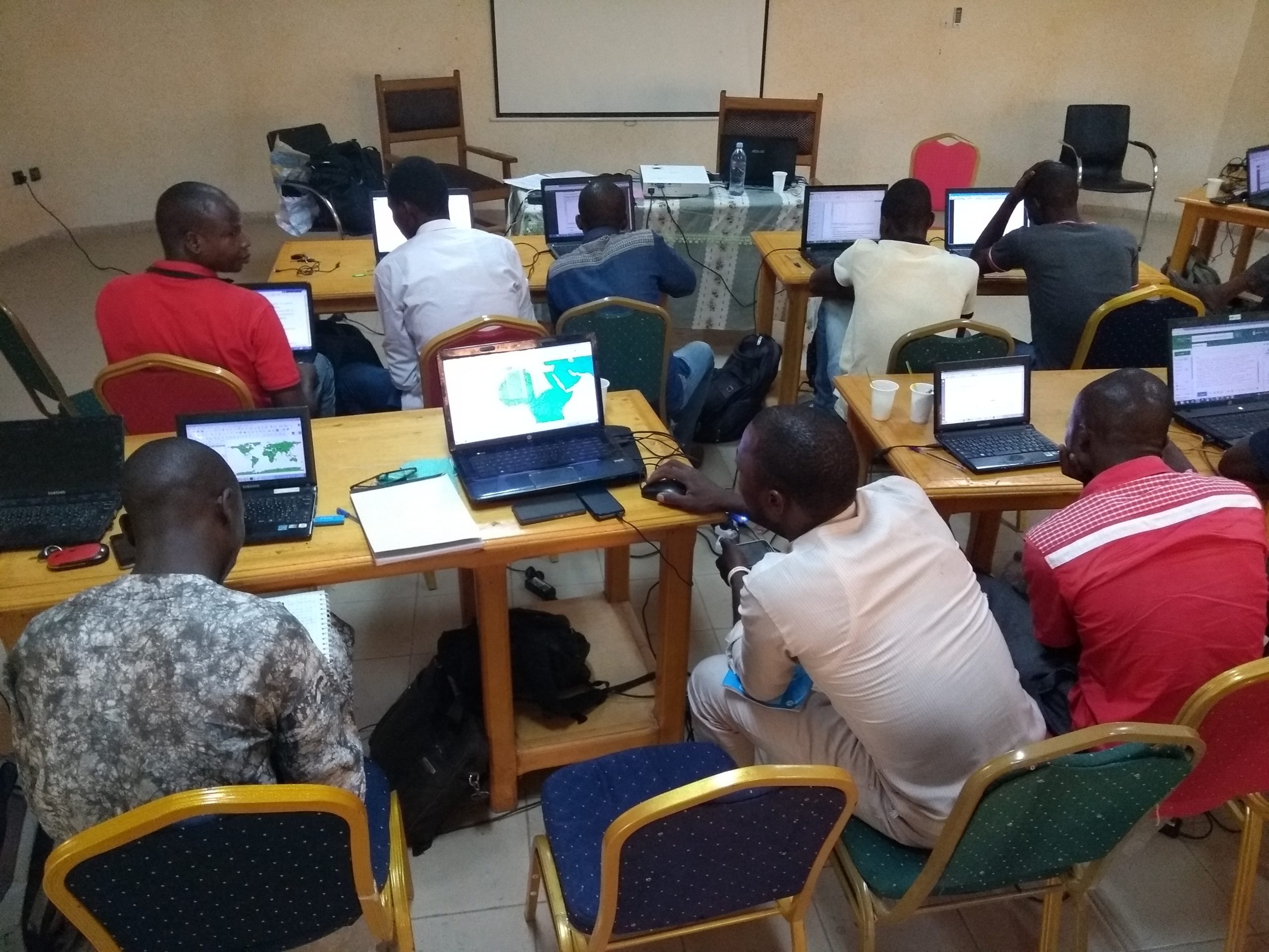
The creation of open geographic data on areas of interest identified by the CNRD
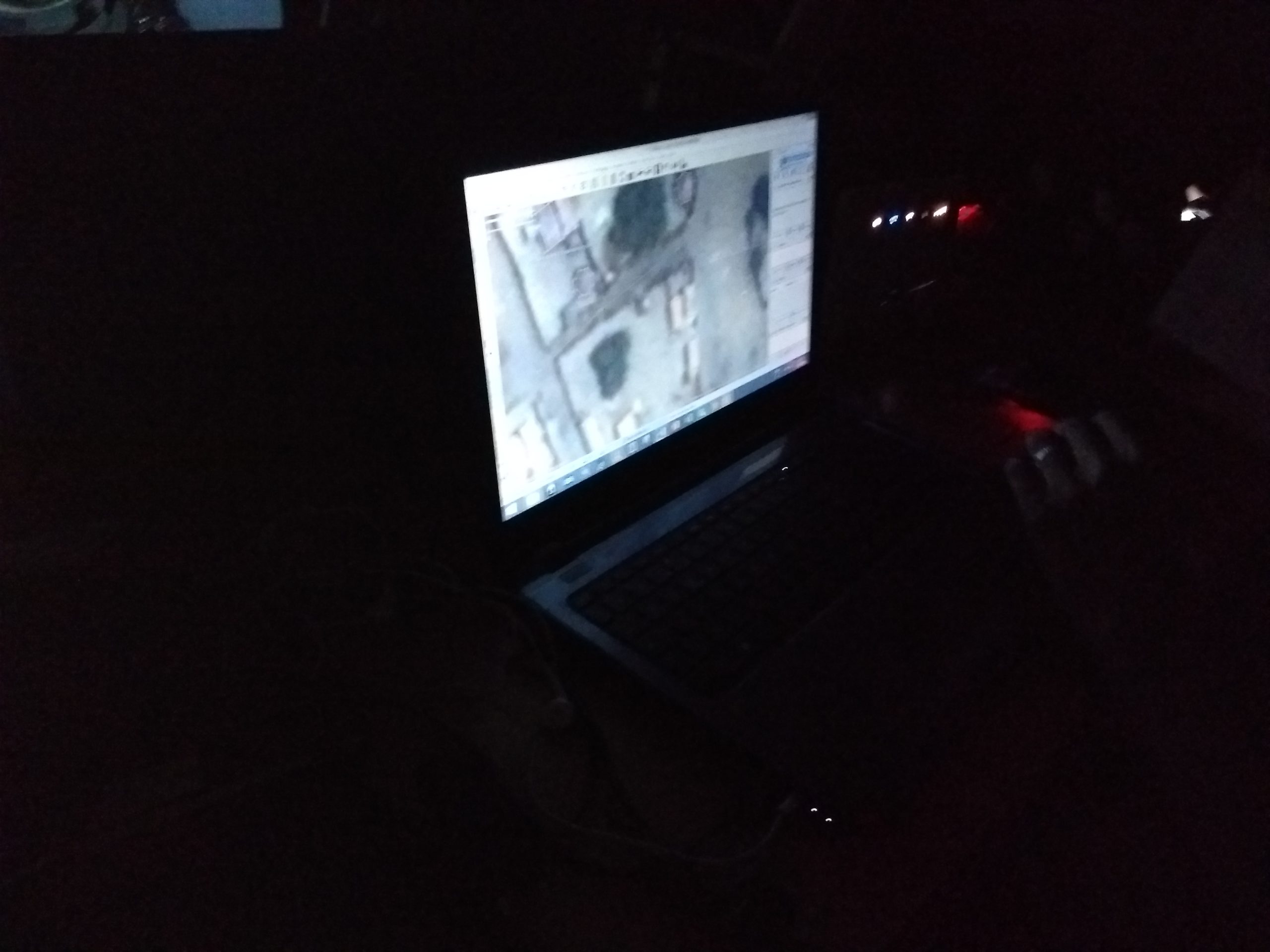
The team of trainers led the training program on the production and reuse of open geographic data while working remotely on the Chadian side of Lake Chad. The first collaborative mapping project focused on Bol, the region’s main city, with the goal of mapping it down to the individual building level, while a second project used existing residential areas in OSM to identify villages larger than 30 ha that still lacked a street network.
These two projects, with their different objectives and contexts (urban/rural), allowed participants to learn various techniques for mapping using satellite imagery. The workflow associated with this concrete case demonstrated to all participants the full value of contributing to a free digital commons such as OpenStreetMap.
The text has been translated from French by DeepL.com (free version).
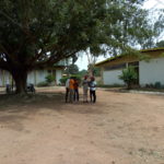
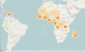
Location