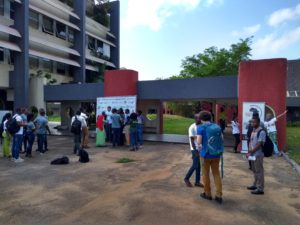
Technical and Organizational Workshops for OpenStreetMap and Open Geomatics Trainers in Lomé
May 2018
A train-the-trainer workshop as part of an ongoing series of capacity-building initiatives
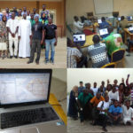
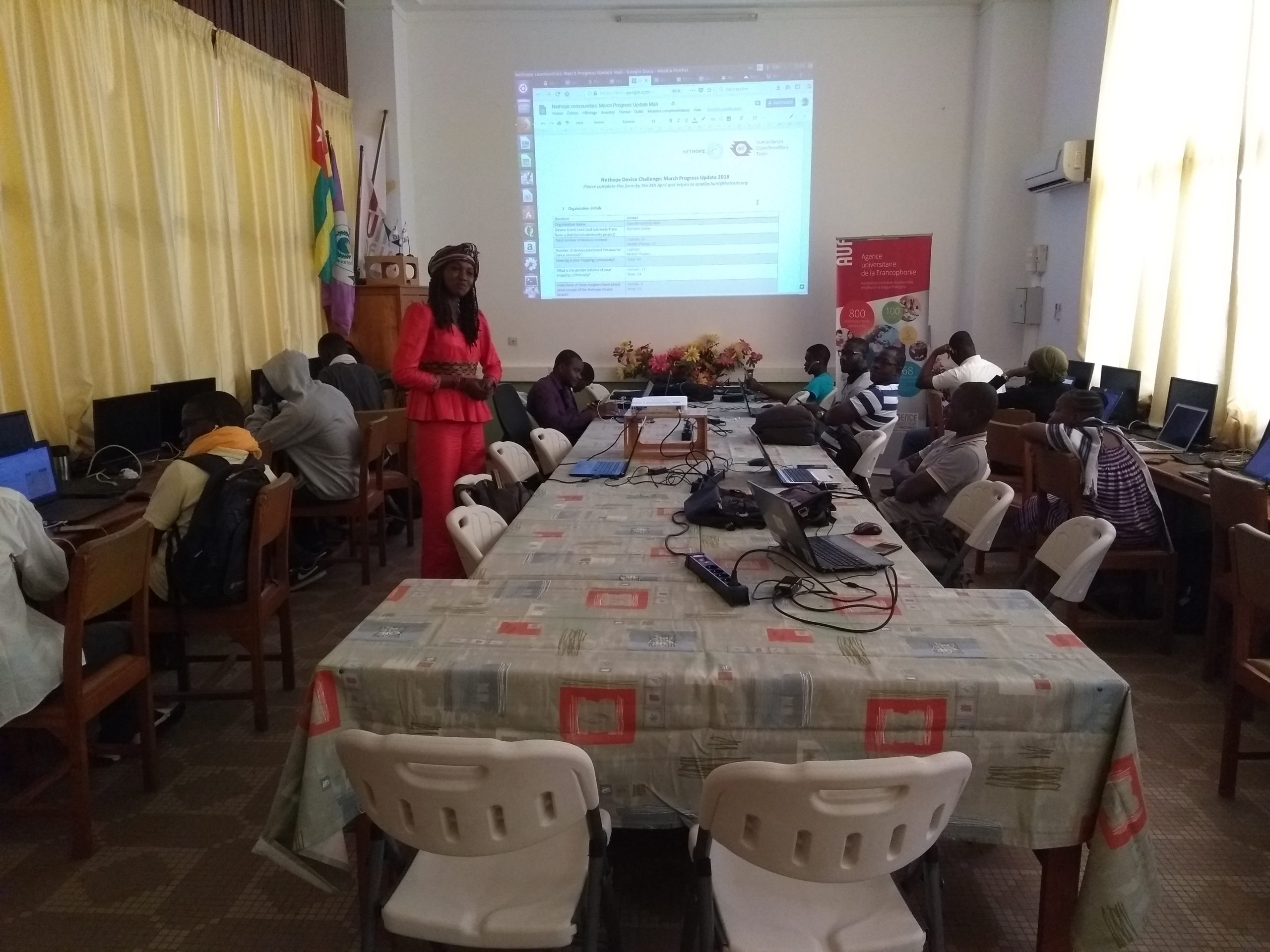
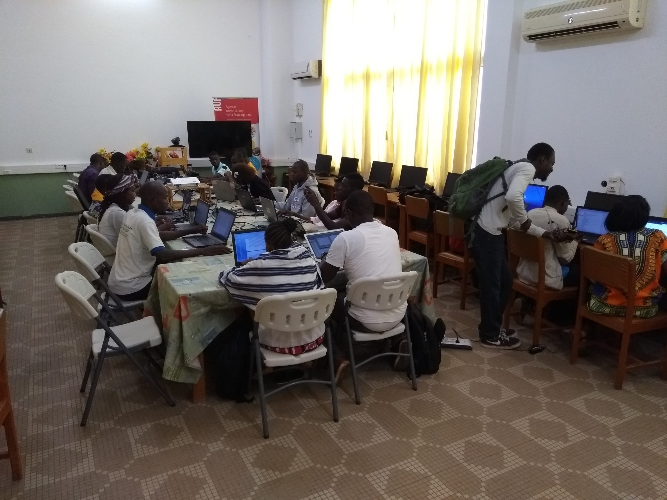
From May 14 to 25, 2018, in Lomé (Togo), the OIF-DFEN, in coordination with LLg experts and West African members of the OSM community (from Benin, Burkina Faso, Côte d’Ivoire, Mali, Niger, and Togo), supported and organized a regional train-the-trainer workshop on the organizational and technical aspects of implementing OpenStreetMap and open-source geomatics activities (QGIS and geOrchestra). Twenty-one people participated in this workshop, 13 of whom were “facilitators” and 8 “junior trainers” (two of whom also serve as International Francophonie Volunteers (VIF) in OSM mapping in Mali and Benin), who were identified through previous ad hoc capacity-building missions and ongoing outreach programs.
This regional train-the-trainer workshop was organized as a continuation of the capacity-building and documentation efforts carried out since 2013 in this field by the OIF, in cooperation with experts from Les Libres Géographes and with the support of the Projet EOF association, as well as the West African members of the OSM project who are organized into informal groups or associations. Like the previous train-the-trainer sessions organized since 2014, bringing together active members of OSM facilitation collectives from this geographic region in one location helped increase synergies with cumulative effects among these collectives.
The 2018 workshop was designed for a homogeneous group of advanced-level learners, the majority of whom had participated as learners or facilitators in capacity-building activities at Senegal (April 2018) and the Chad (April/May 2018), the train-the-trainer workshop in Parakou (July 2017) and in Lomé (May 2017), as well as the capacity-building initiatives in Mali (May/June 2017) and Niger (June/July 2017) as well as the “École Géomatique Libre (EGL)” project implemented by the French National Research Institute for Development (IRD) and Les Libres Géographes with administrative support from the Club des Hommes et des Femmes d’Affaires du Libre en Afrique (CHALA).
More specifically, the activities carried out in Lomé helped strengthen the OSM project in Togo and West Africa through:
- increasing the number of its most experienced members and enhancing their technical and organizational skills;
- the ability to carry out more advanced technical outreach activities in these regions;
- the capacity to strengthen organizational frameworks and active communities at the community, associative, and economic levels around the OSM project, free geomatics, and open data.
An organizational workshop combining activity planning, structuring, and governance practices
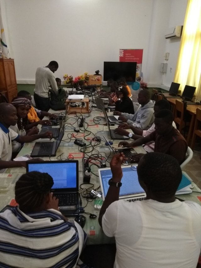
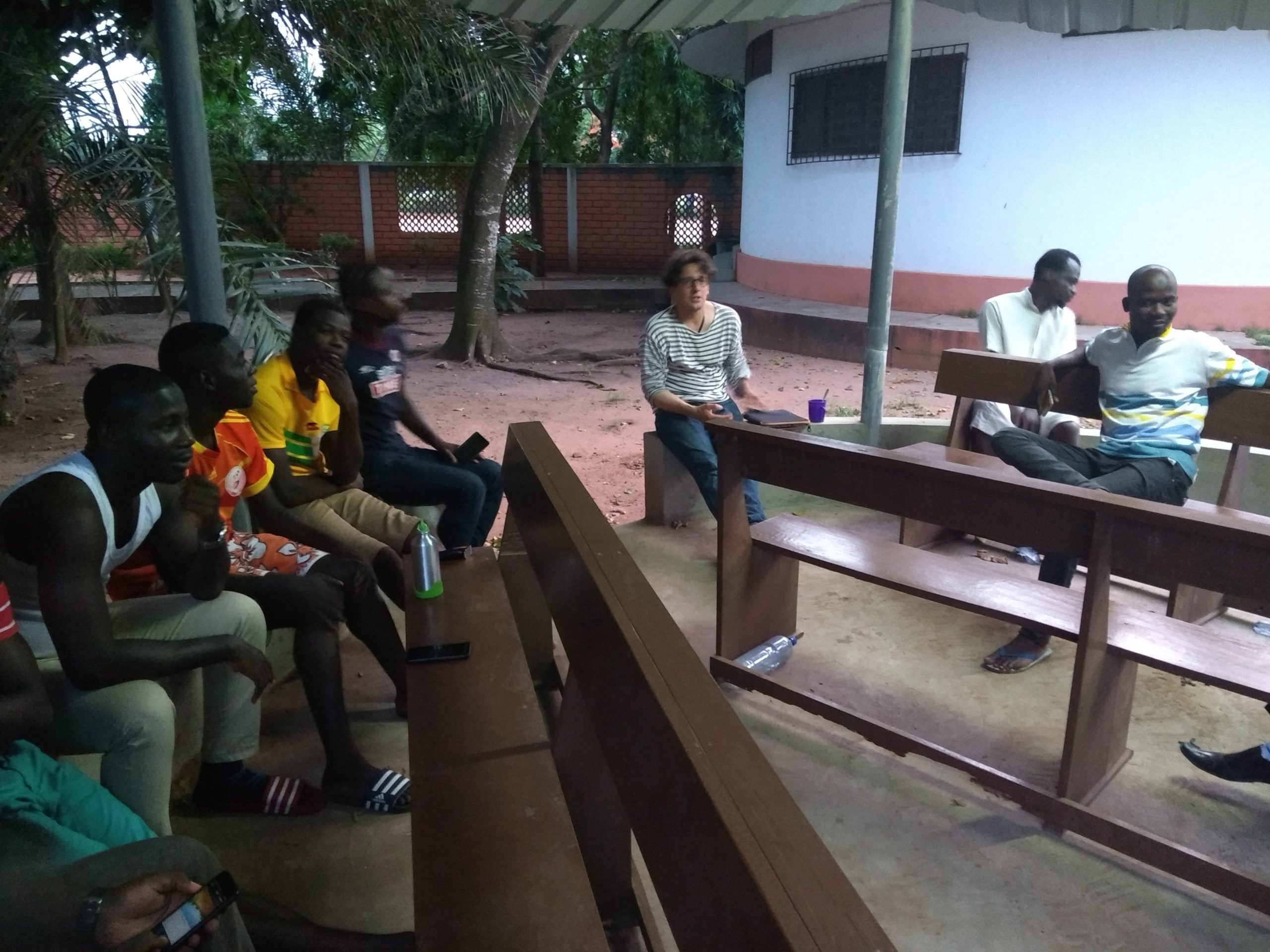
The nine-day organizational training sessions were systematically conducted using supporting materials shared by the group, with a constant focus on the West African context by drawing on four years of experience in OSM facilitation in these southern Francophone territories – specifically regarding community dynamics, civil society organizations, and the social and solidarity economy. A wide range of learning techniques was employed: lectures, guided readings, and text analysis (training materials, OSM organization bylaws, project documents, communication materials, etc.), as well as small-group and individual work systematically organized to facilitate discussion and collective learning.
The following topics were specifically the focus of this organizational workshop:
- Information, presentation, and communication techniques related to the OSM project, combined with technical documentation work;
- Facilitating group work on the organization of individuals and groups involved in the OSM project at the community level (OSM mapping collectives), the organizational level (OSM Foundation, global body, and local chapters), and the economic level;
- Project management techniques related to the implementation of work plans or projects that use OSM in whole or in part within volunteer and economic frameworks: consulting, design, execution, communication, reporting (technical and financial accountability and results-based management), and project or activity debriefing;
- Activities to identify and address the needs of OSM communities in West Africa in carrying out their activities, as well as those of stakeholders (academia, the private sector/open-source ICT, government, NGOs, and civil society), and in accessing and using Geographic Information (GI) and OSM.
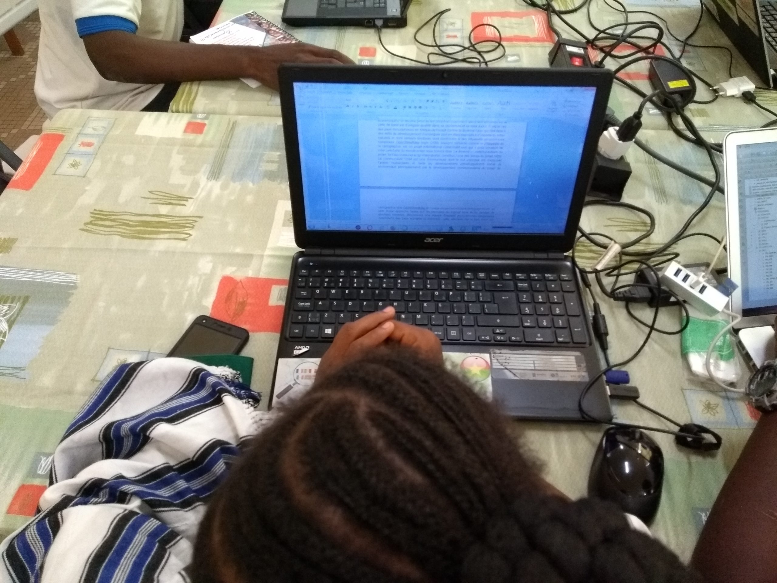
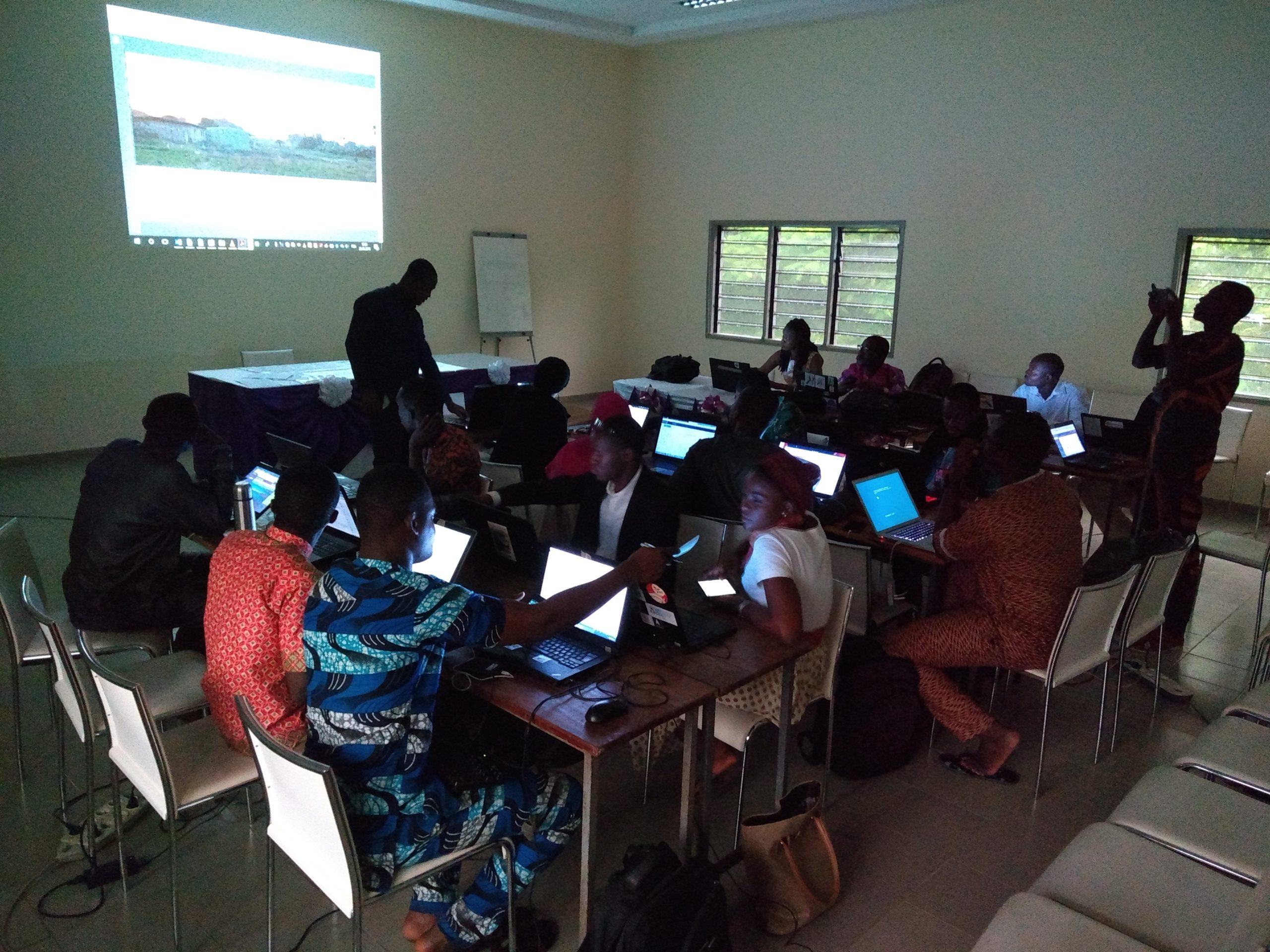
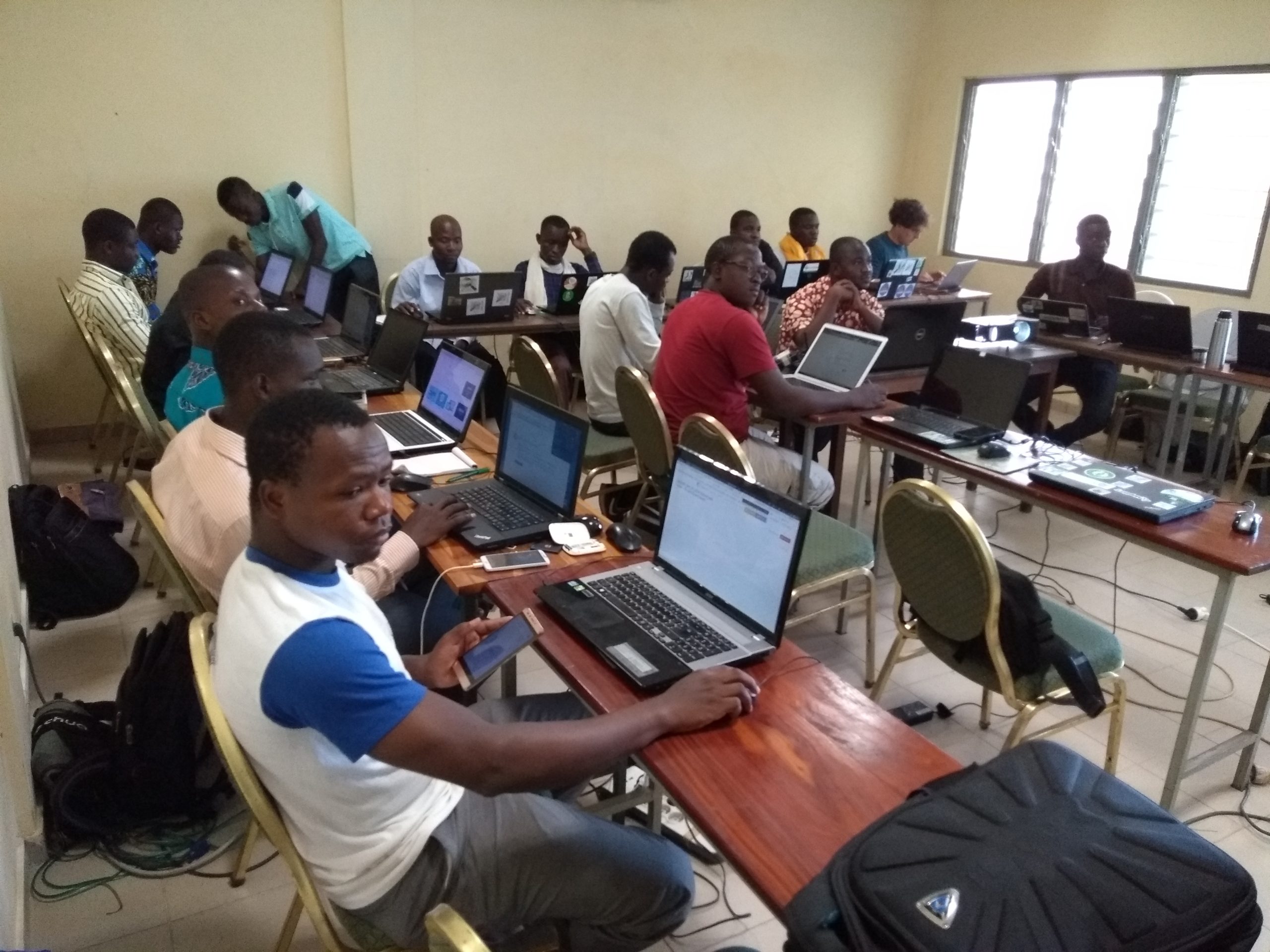
A technical workshop to deepen skills in OpenStreetMap, open-source geomatics, and open data
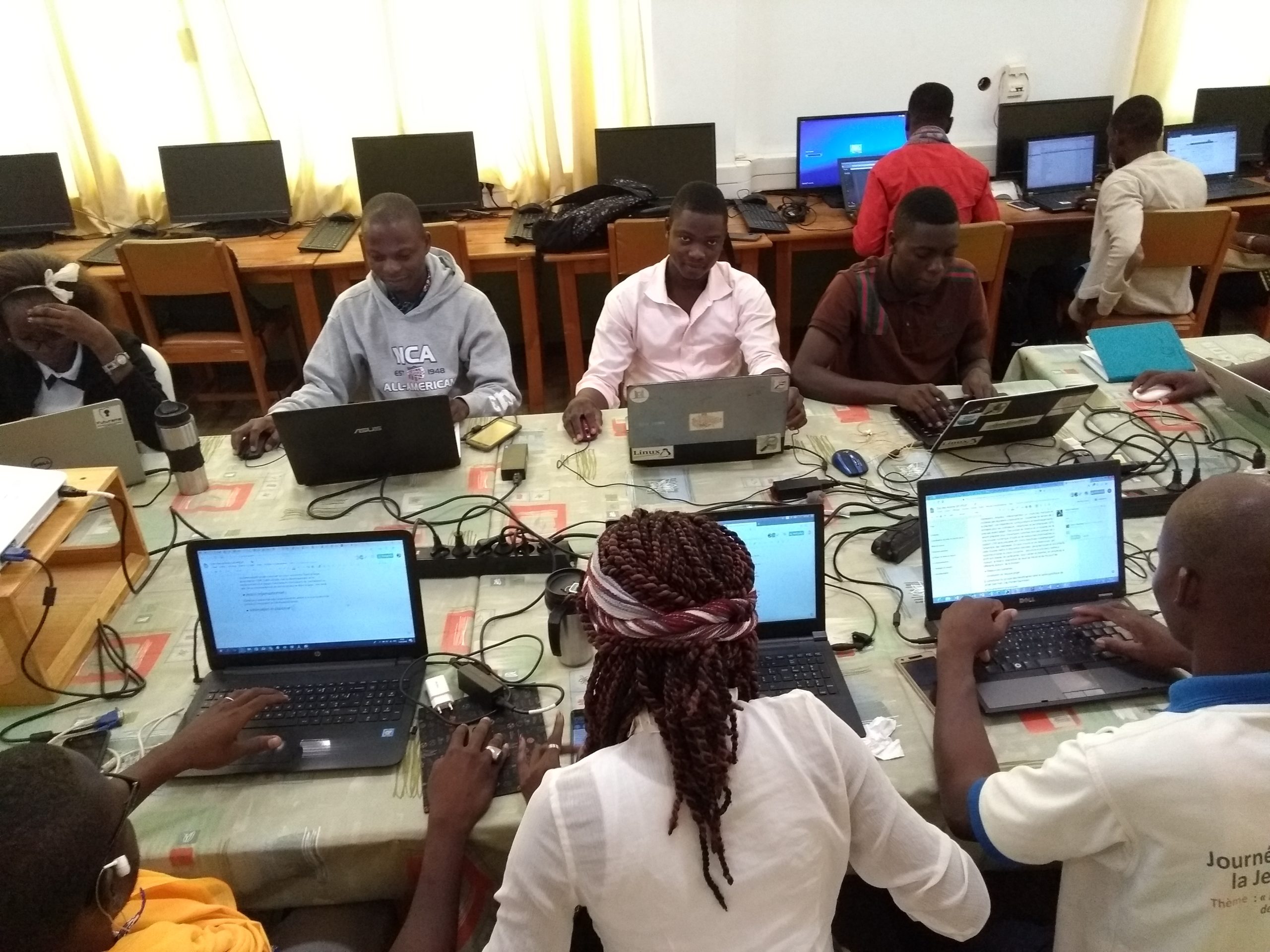
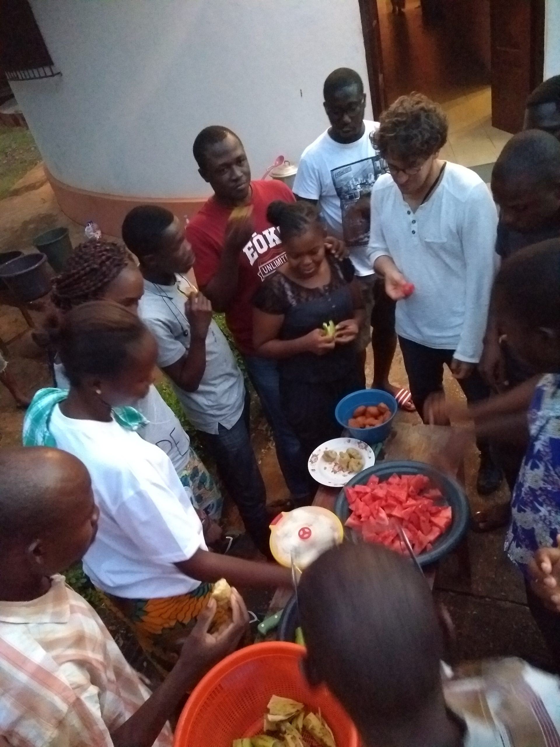
This workshop took place over two days and included an open-source geographic data creation activity (a “mapathon”) in response to the Ebola virus outbreak in the Democratic Republic of the Congo (DRC). This work drew on concrete use cases that arose within the framework of the Sunu Gox and COhéSIoN (“The Socio-Territorial Constructions of Inequalities: Territorial Diagnosis and Decision Support”) projects led by Les Libres Géographes (LLG) in cooperation with the Groupe de Recherches et d’échanges technologiques (GRET), Yen a Marre (YAM), and mappers from the OSM Senegal community on the one hand, and the French National Research Institute for Development (IRD) and mappers from the OSM Côte d’Ivoire community on the other.
This technical workshop covered the following topics:
- Creation and validation of OSM data through the optimized use of all remote mapping techniques and tools based on satellite imagery and field mapping;
- Utilization, visualization, and sharing of open geographic data through the geOrchestra Spatial Data Infrastructure (SDI) for OSM outreach programs and open geomatics initiatives.
The text has been translated from French by DeepL.com (free version).
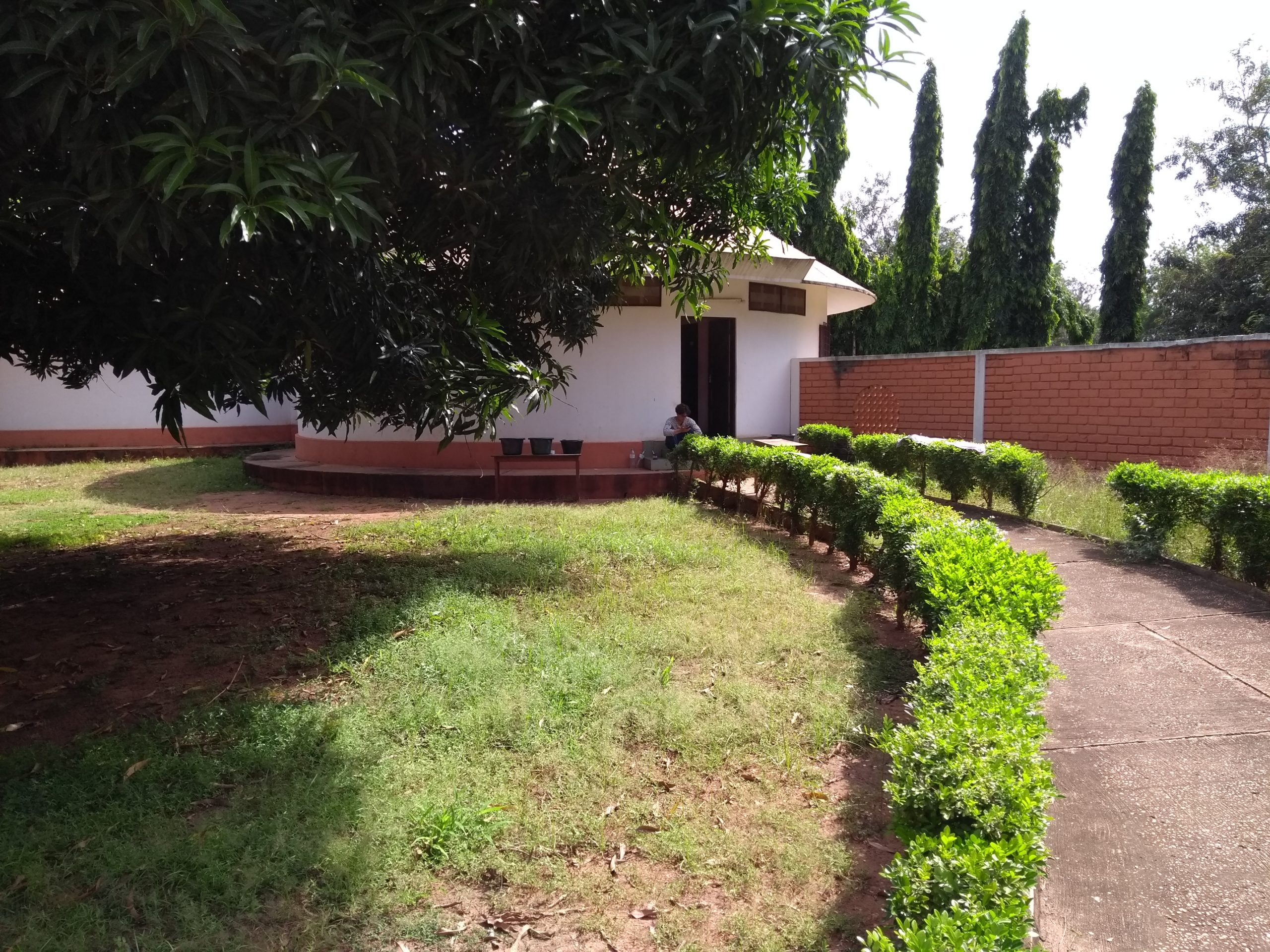
Location