Outreach and Training Workshops on OpenStreetMap and Open Geomatics in Nouakchott
Juin 2019
In Mauritania, the OpenStreetMap project was still in its early stages at the time. A short training workshop was organized in December 2017 by a member of the OSM community in Togo – a former beneficiary of OIF-DFEN initiatives in that country – for members of a fablab. As a result, the OSM map of the country remained rudimentary, and no active local community had yet emerged. This first awareness-raising and training initiative on OpenStreetMap and open-source geomatics – organized by OIF-DFEN and coordinated on-site by a member of Libres Géographes – thus enabled Mauritania to join the other French-speaking countries of sub-Saharan West Africa, all of which had already benefited from this workshop format. In the absence of a local OSM community, the training team brought in four experts from Niger, Senegal, and France. CNF officials enthusiastically offered to host this workshop and actively participated in its preparation.
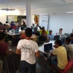
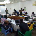
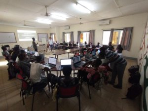
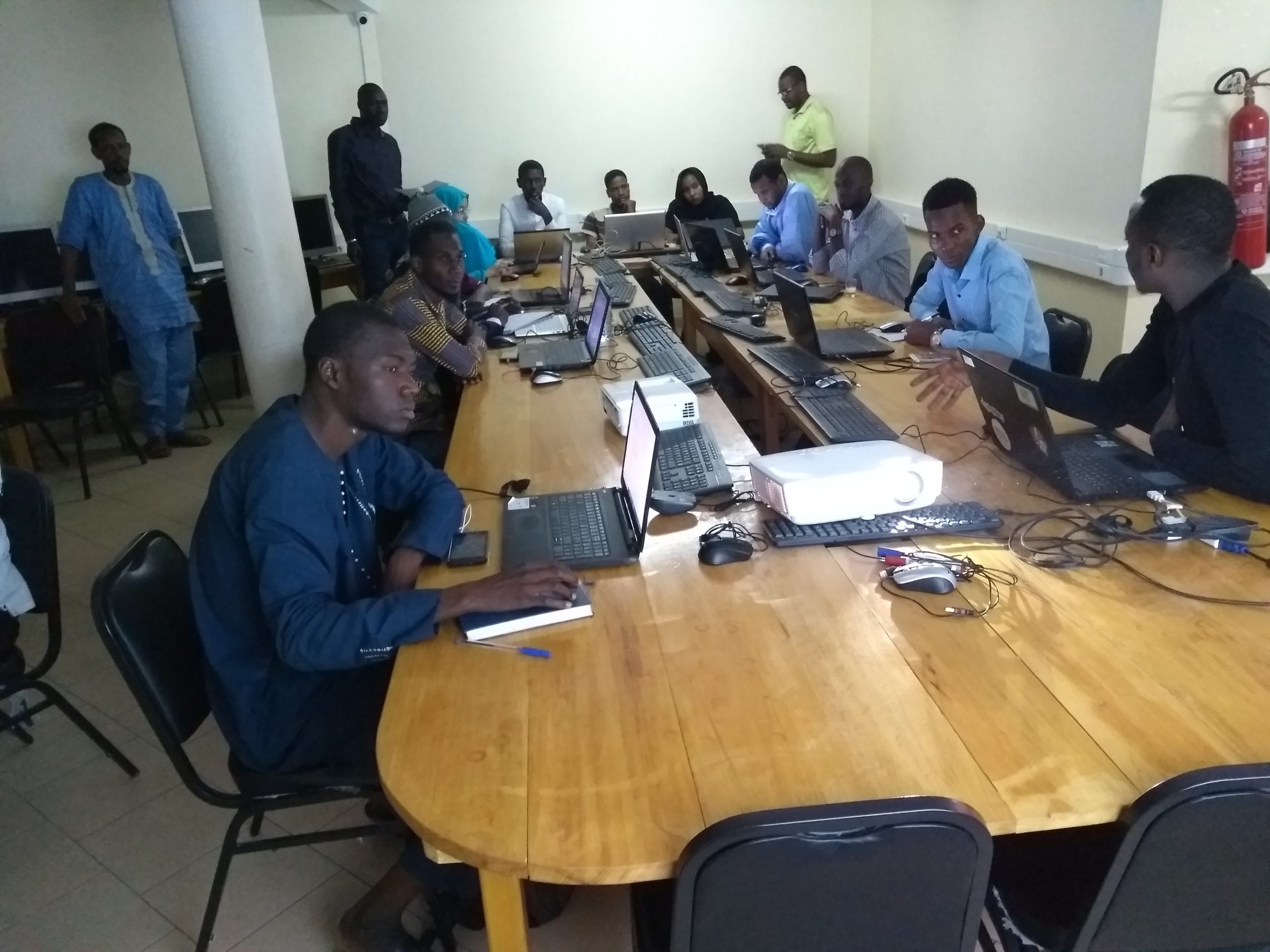
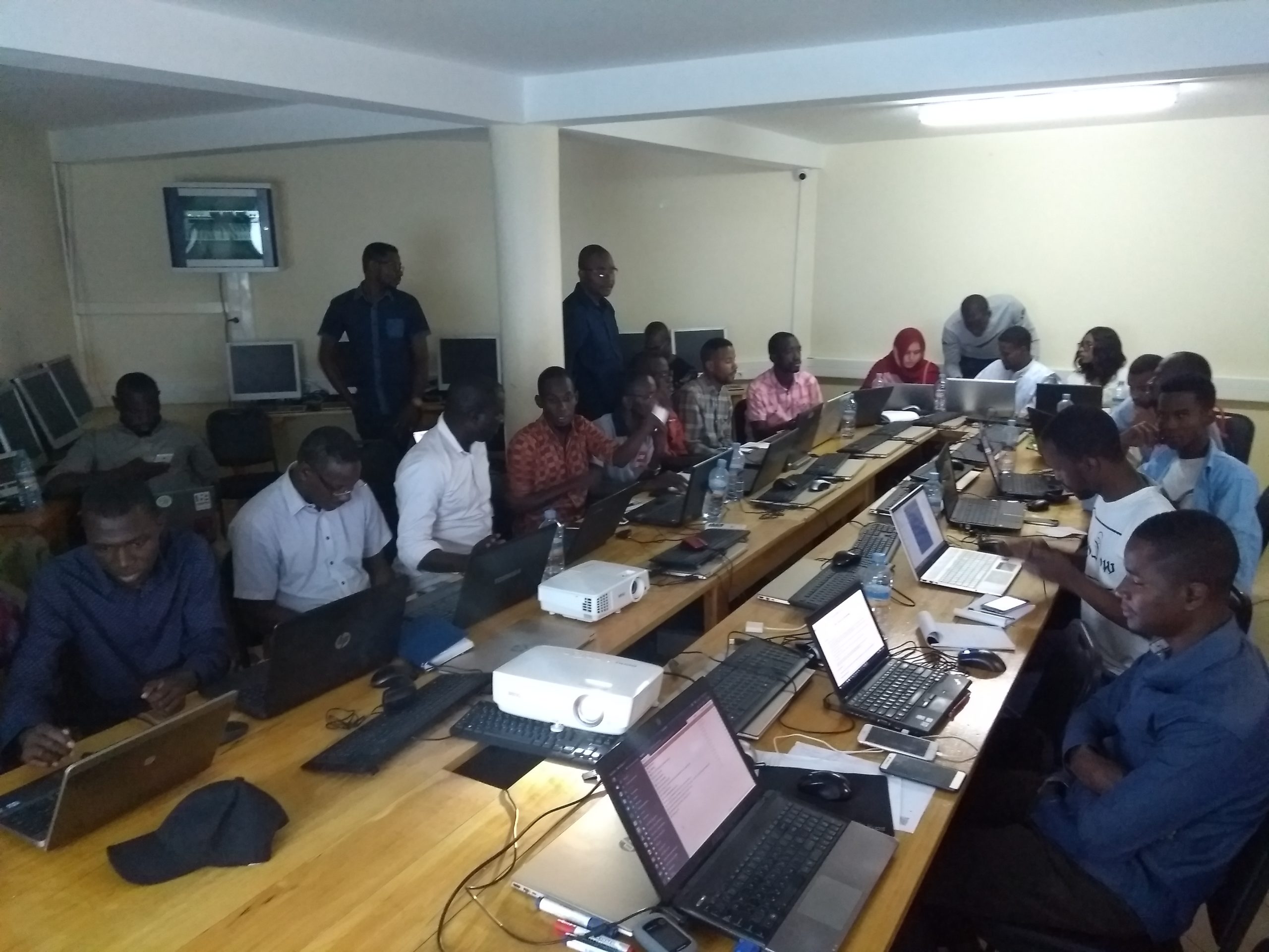
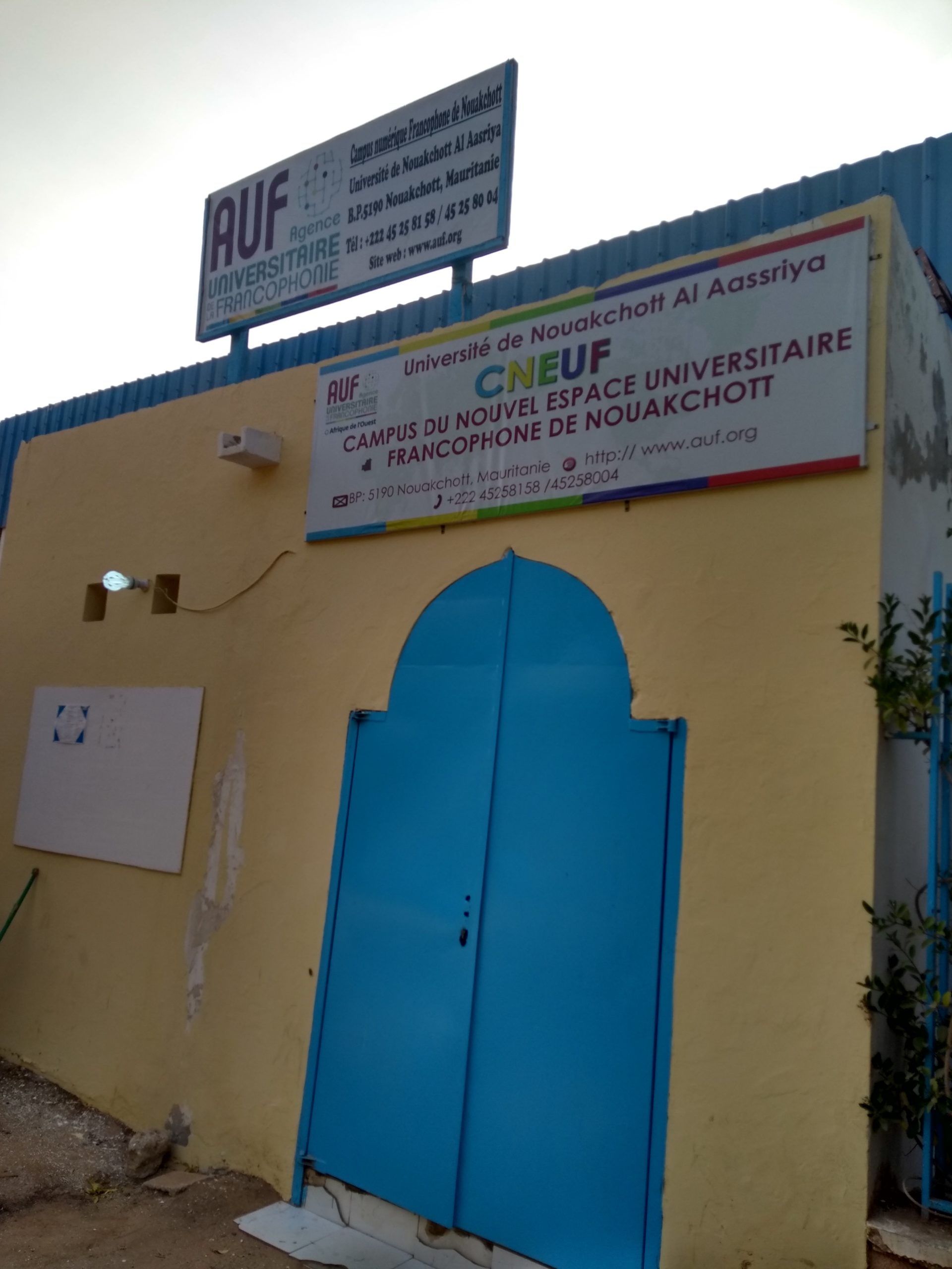
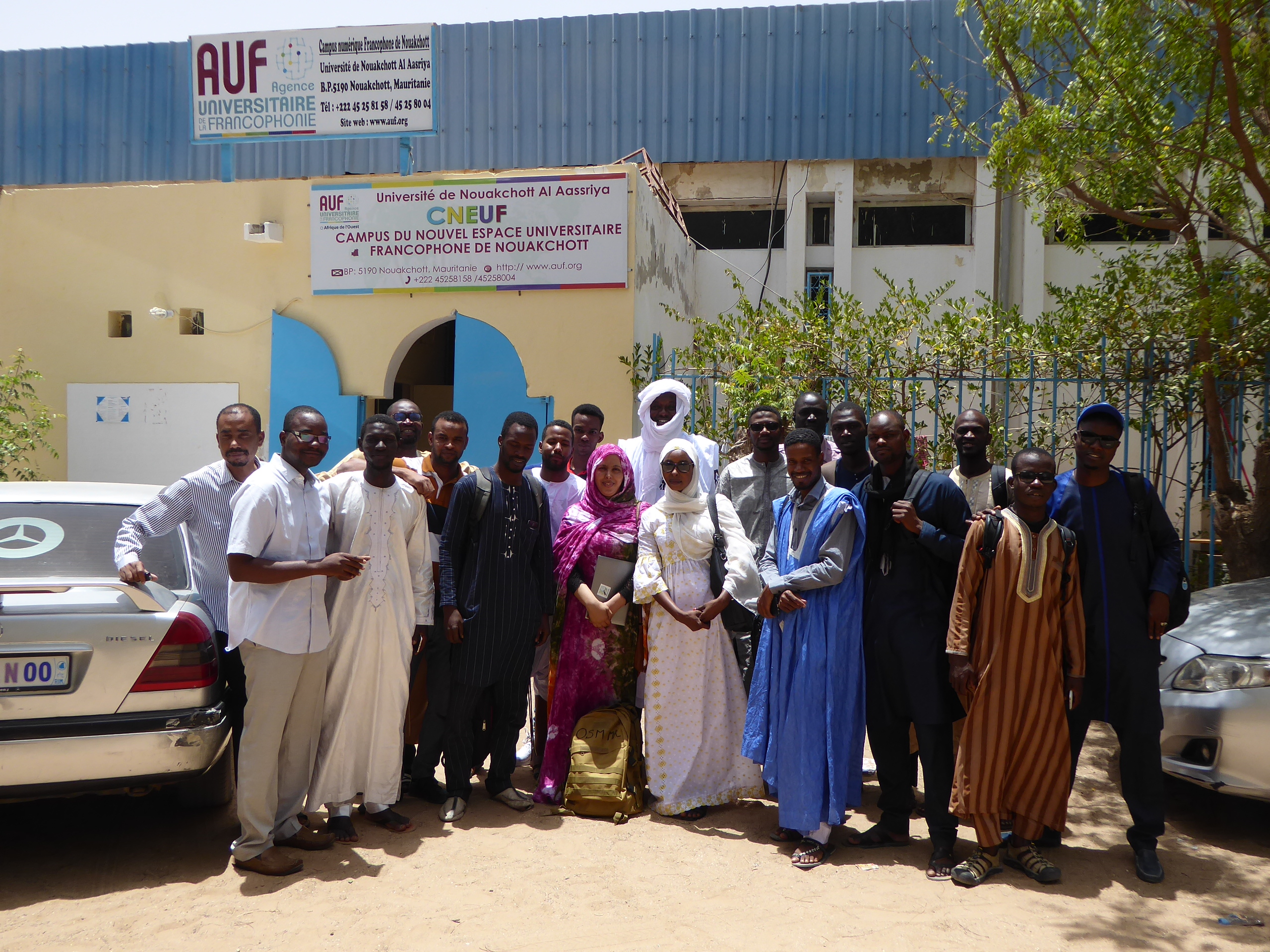
A single workshop at the CNF in Nouakchott
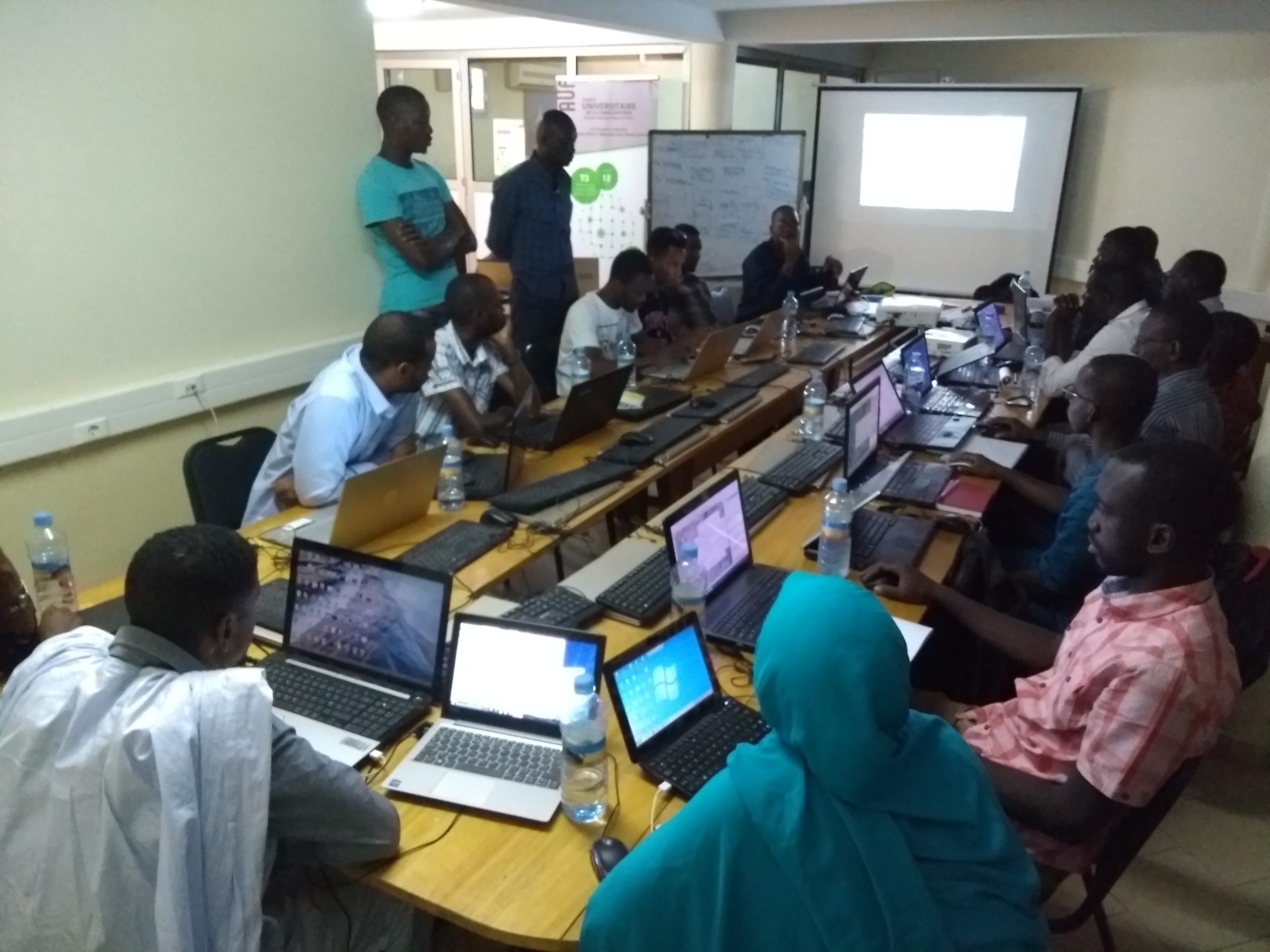
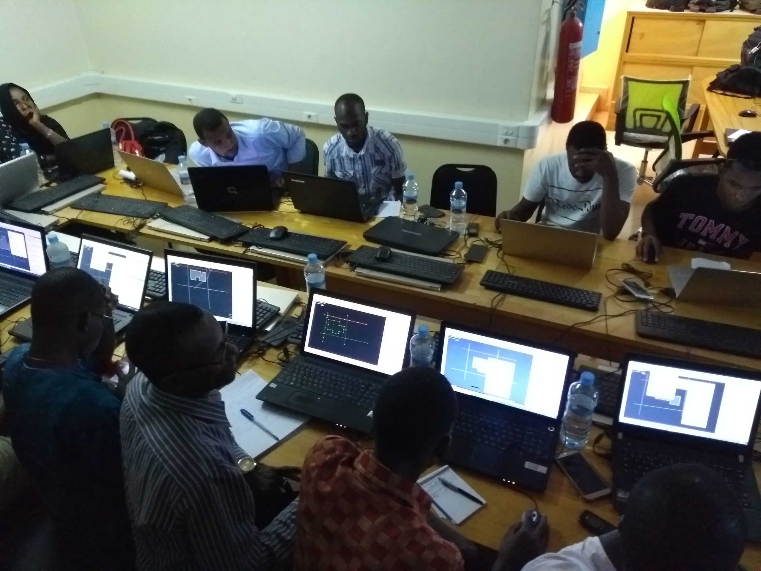
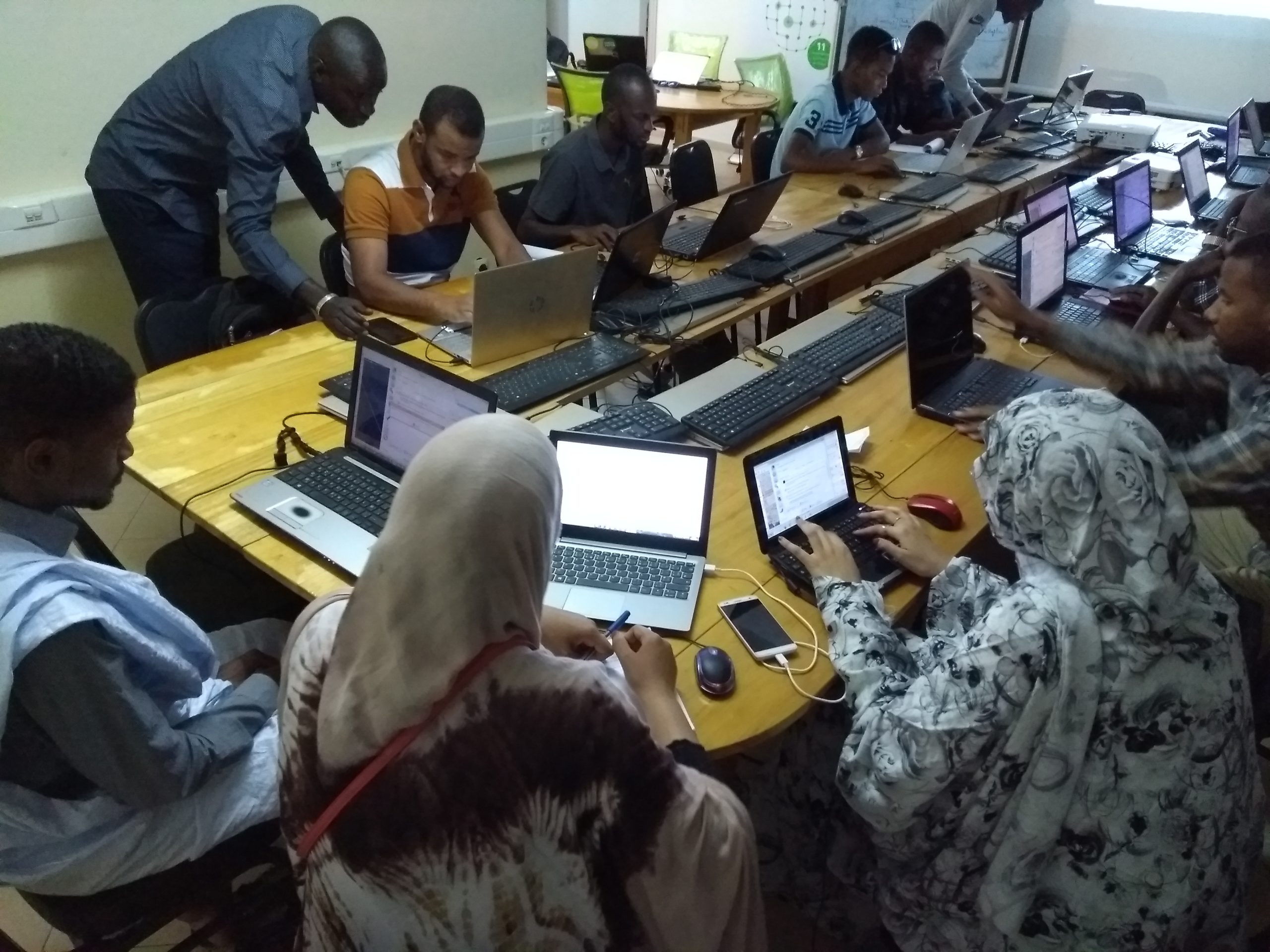
The training session took place over eleven days from June 17 to 28, 2019, but Saturday, June 22 – which is usually set aside for a community mapathon – had to be canceled due to the first round of the presidential election at the Francophone Digital Campus in Nouakchott. The session was designed for a group of about twenty beginners, including participants from academia (students of geography, environmental studies, and sustainable development; a geography researcher; and a natural sciences teacher) as well as the public sector (the Autonomous Port of Nouakchott), civil society (the Naforé Association on pastoralism), the private sector (urban planning and local development consulting firms, the startup Yawy Wifi, Rosso Rekk Medias), interest groups, and individuals working in development aid and humanitarian action.
The workshop’s two-week training program had to be adapted due to a complete nationwide internet blackout following post-election protests; and the second week’s sessions had to focus on teaching offline tools, particularly QGIS.
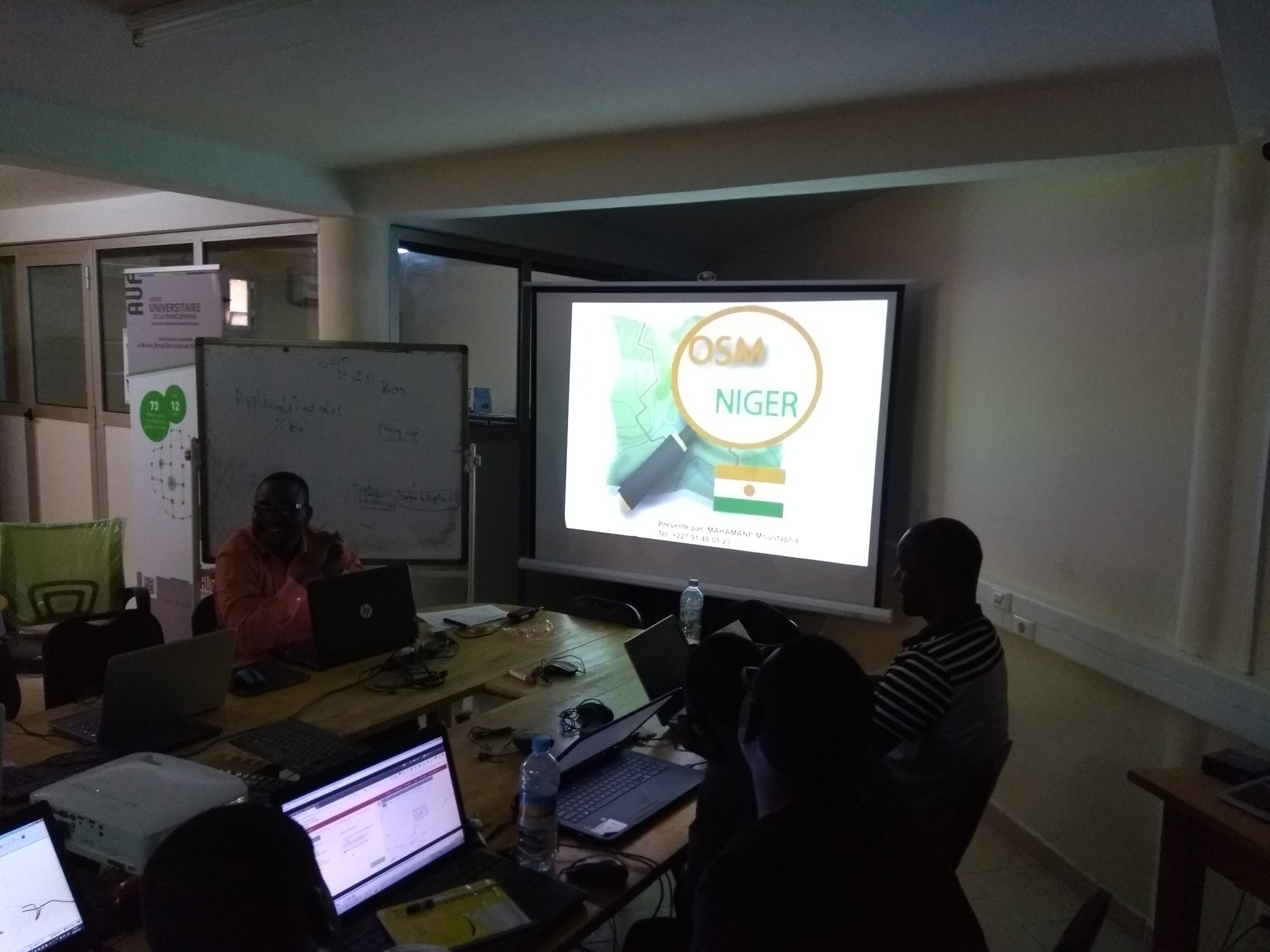
Creation of open geographic data and support for the OSM community in Mauritania
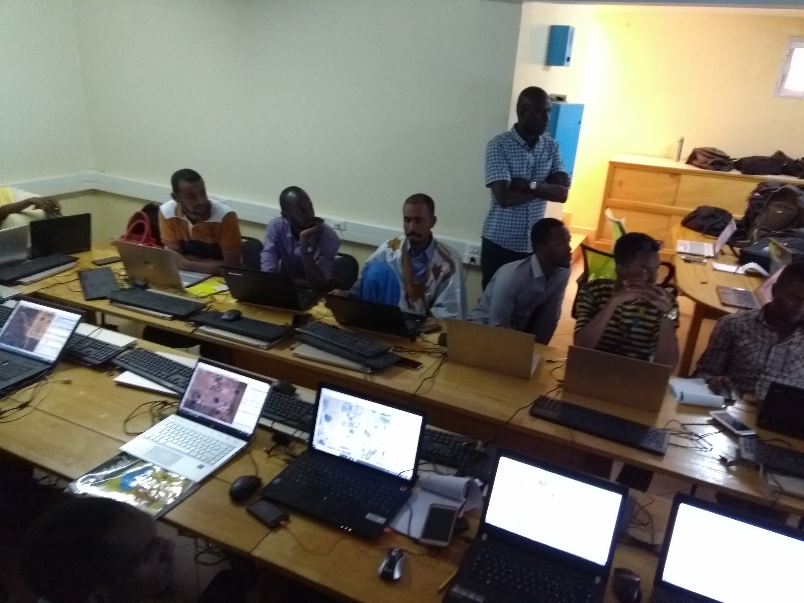
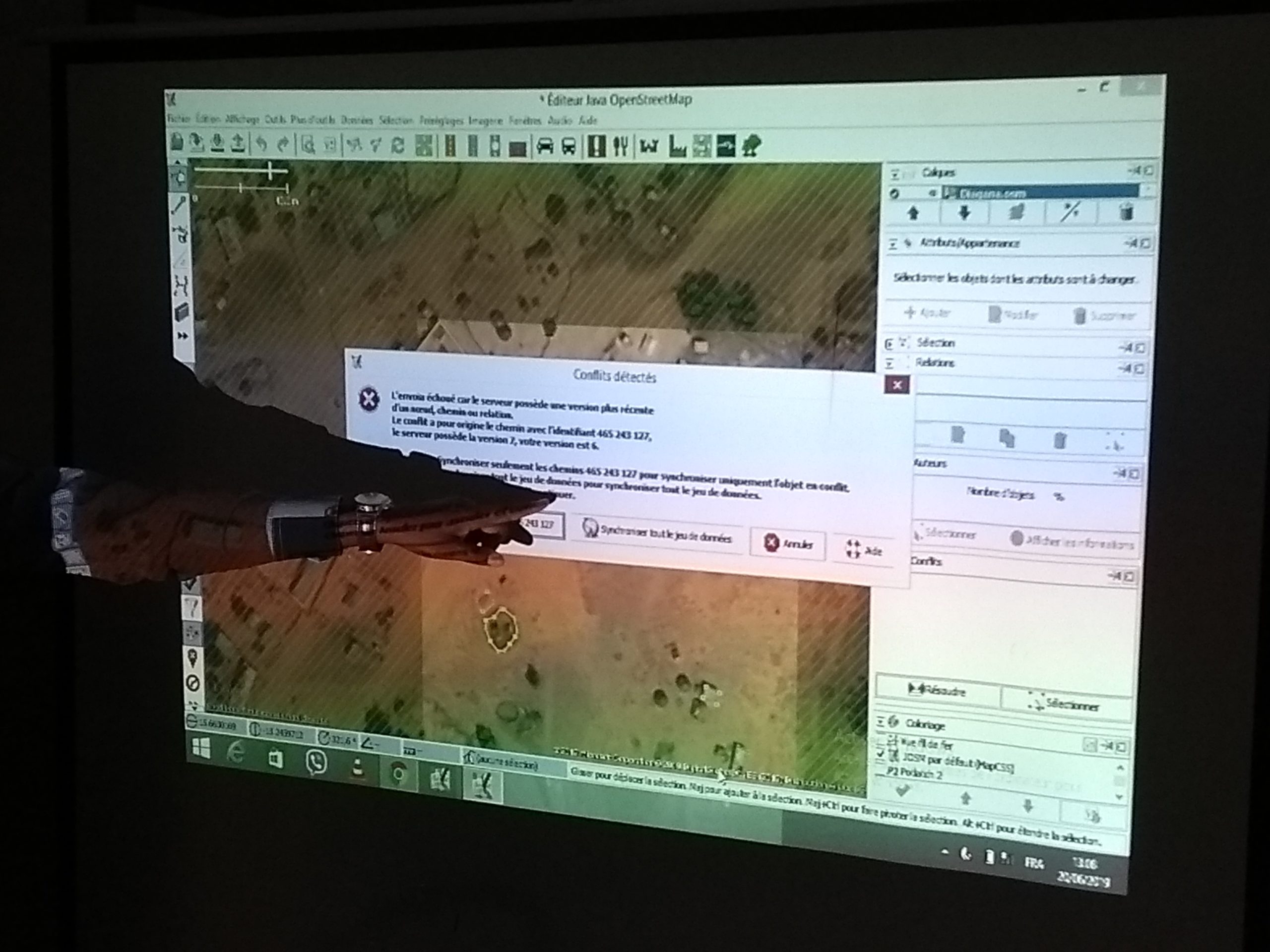
The team of trainers led the training program on the production and reuse of open geographic data by working remotely on the town of Toufoundé Civé in the Gorgol administrative region in the southeastern part of the country, at the suggestion of beneficiaries working in this area for the development NGO GRET. This collaborative project enabled participants to learn various techniques for mapping using satellite imagery, and the workflow associated with this specific case demonstrated to all participants the full value of contributing to a free digital commons such as OpenStreetMap.
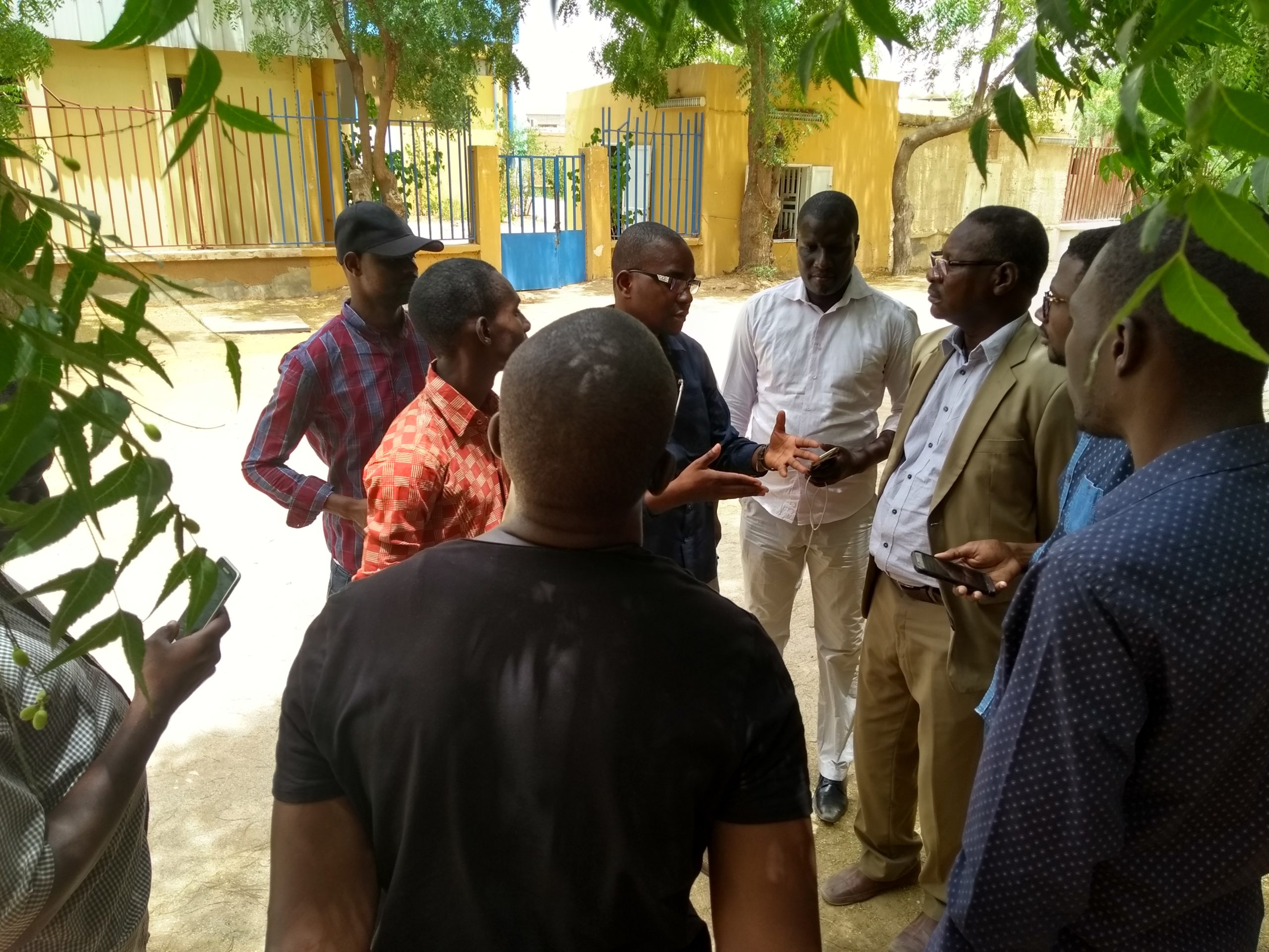
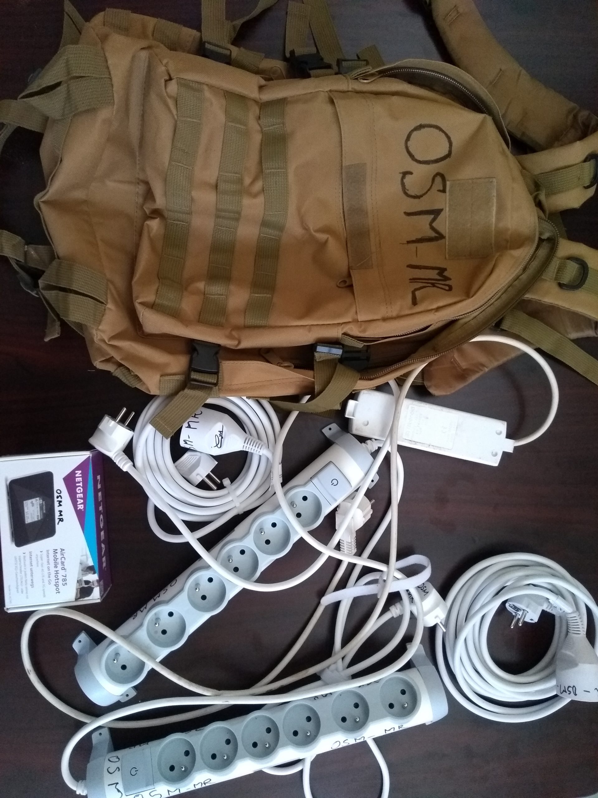
Time was also devoted to sharing experiences and offering advice to help foster the growth of a local OSM community in Mauritania. A basic set of equipment (a 4G modem, power strips, and high-quality extension cords) was also handed over to CNEUF officials so that students can organize training activities outside the center’s premises that require internet access and an electrical connection. Furthermore, the CNF in Nouakchott plans to organize regular feedback and training sessions to foster the growth of an OSM Mauritania community among students and digital stakeholders, which should benefit from the country’s upcoming integration into the CarteInnov project led by Finnov and the association Les Libres Géographes.
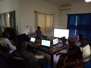
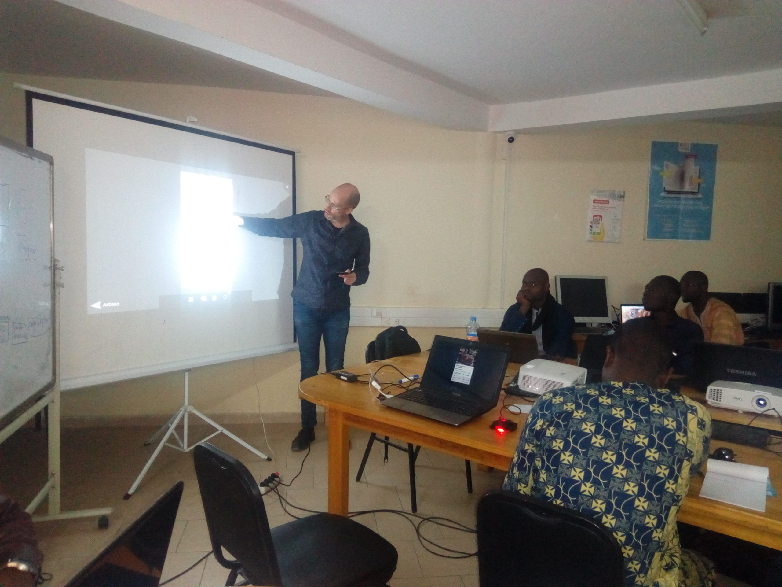
Internal team training workshops
Alongside the main workshop for local beneficiaries, internal team workshops were held in the evenings and on weekends at the team’s lodging. The team’s junior experts were thus trained in configuring a 4G modem, using the OpenDataKit, KoBoToolbox, SPHINX, and SPSS tools, as well as integrating thematic layers into the geOrchestra Spatial Data Infrastructure (SDI).
The text has been translated from French by DeepL.com (free version).
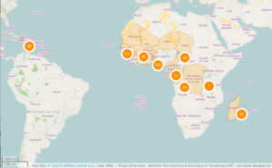
Location