Free Geomatics support for the National Program to Combat Human African Trypanosomiasis in Guinea – 2019-2020
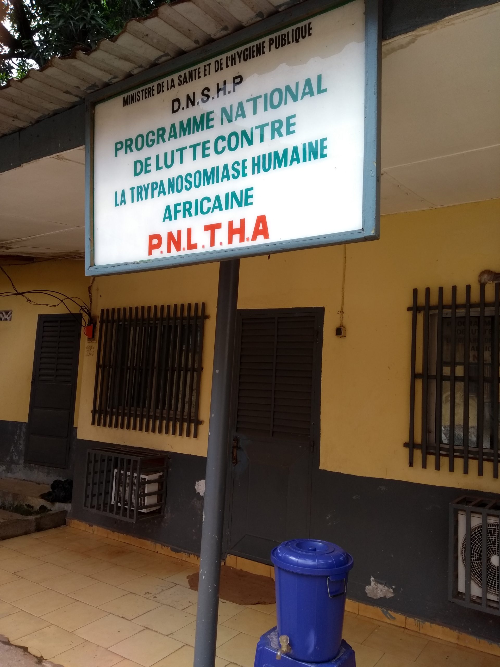
Building on years of volunteer and economic collaborations in Burkina Faso (since 2014), Côte d’Ivoire (since 2015), Benin (since 2016), and other French-speaking countries in West Africa, LLg, the IRD (UMR TRYPANOSOM 177) have partnered with the Institut Bouisson Bertrand to design and implement a capacity-building program focused on OpenStreetMap, Open Data, and open-source GIS to support the activities of the Guinean Vector Control (LAV) team of the National Program for the Control of African Human Trypanosomiasis (PNLTHA) in 2019.
Context and Approach
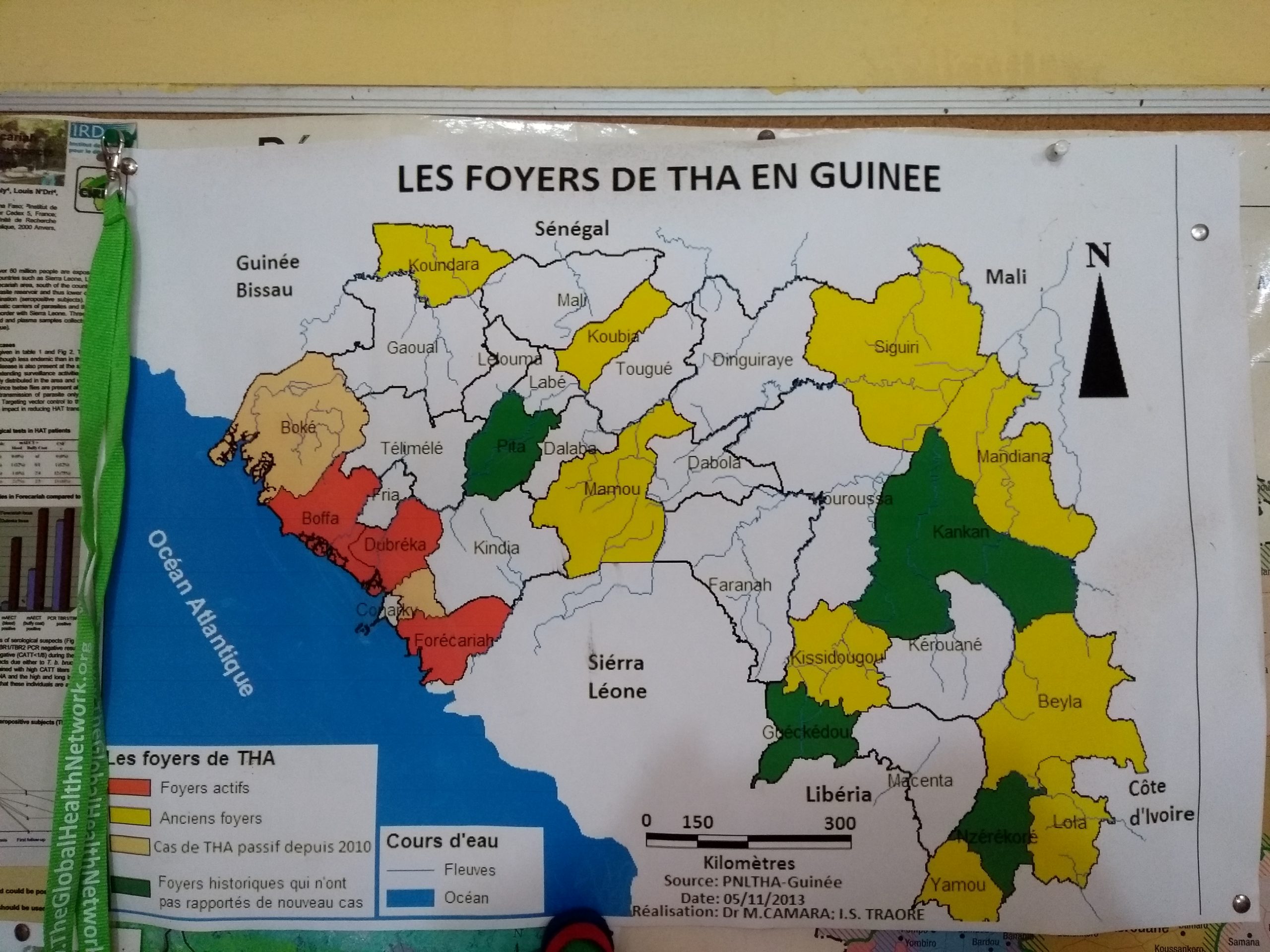
Since 2016, this program had collected a large amount of geographic data in the field relating to the survey areas (settlement structures, place names, points of interest, road networks, trails, and paths…) as well as the PNLTHA’s study subjects for heuristic and research logistics purposes—specifically to organize fieldwork and interventions, produce analyses, and disseminate results. This data was generated using a traditional methodology combining GPS devices for field data collection, Excel spreadsheets for data entry, and the uploading of collected data into geographic databases managed via QGIS software.
This traditional approach to information management was somewhat effective, but had significant limitations in terms of the (limited) volume and quality (various manual data entry steps, lack of standardized categories) of the data collected, the human (time) and material (expensive equipment) resources required, the lack of a collaborative approach to data production, and the lack of data or results sharing via online data-sharing or data-production platforms. Furthermore, while the team in charge was able to produce certain analyses based on its geographic data, it nevertheless felt that it was not making the best use of the software suite, particularly the open-source GIS software QGIS.
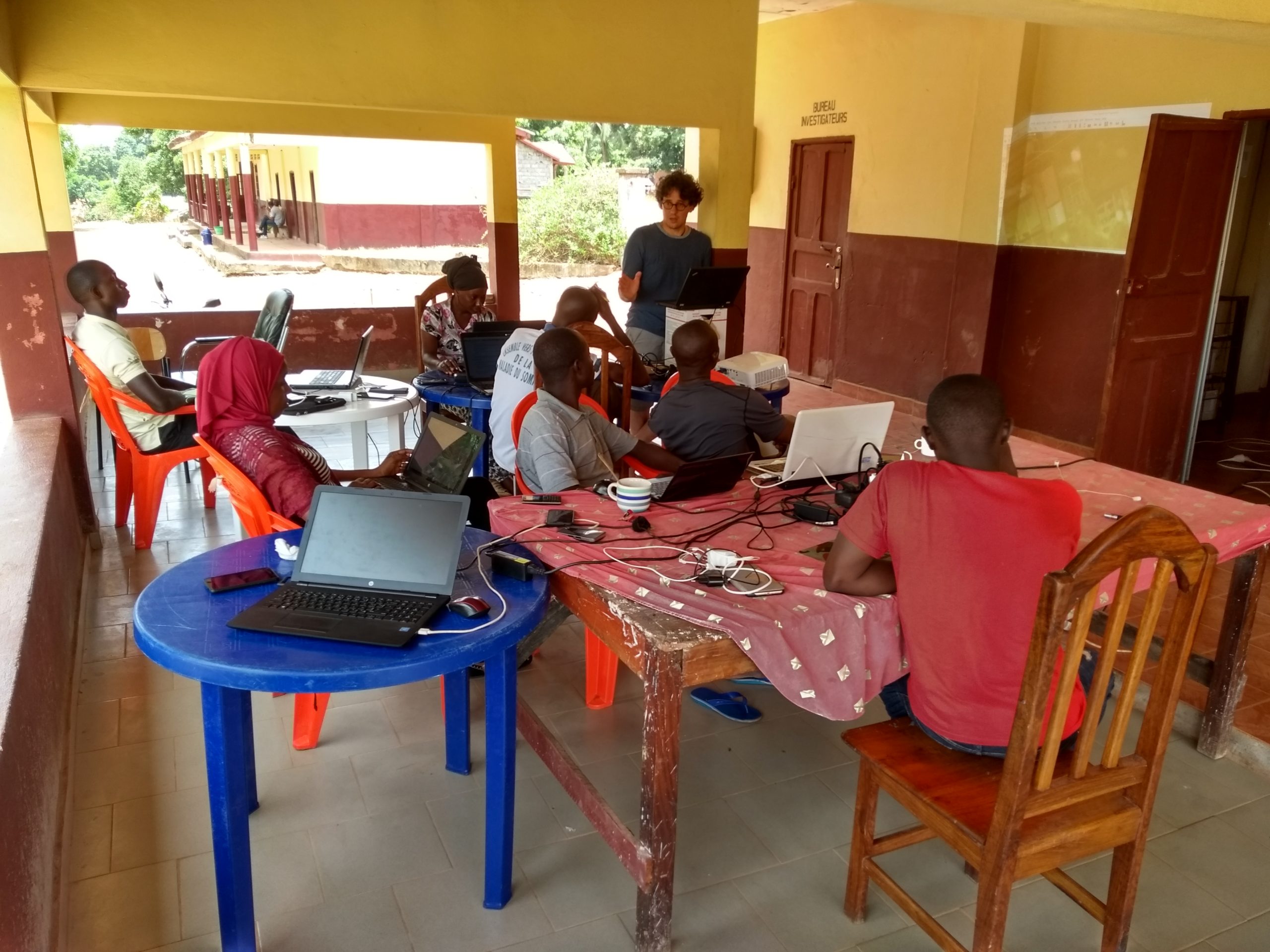
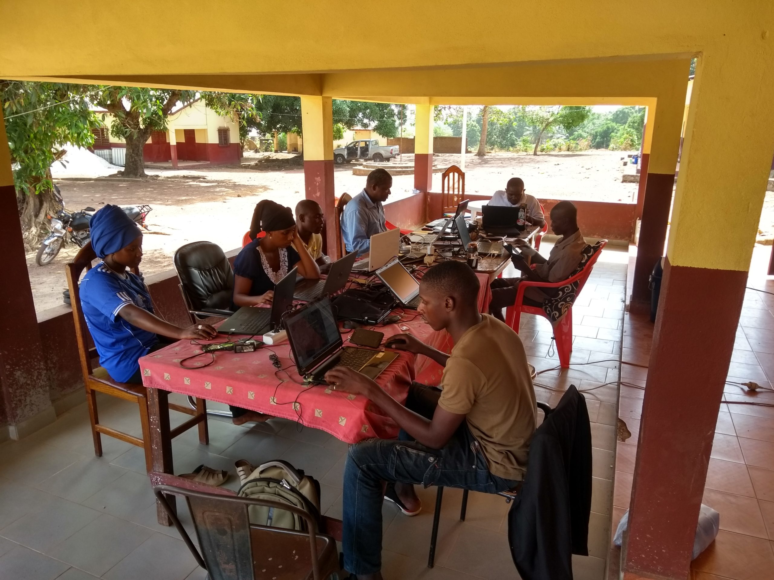
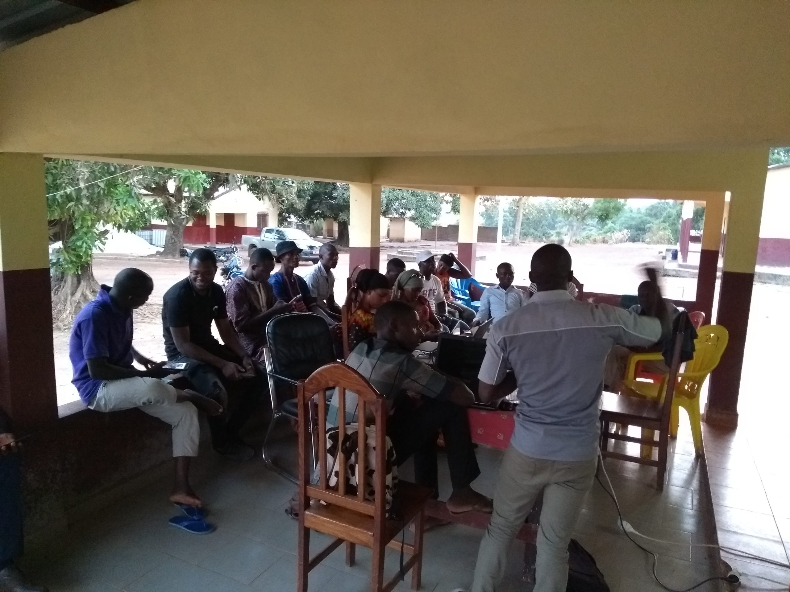
To improve this methodology, strengthen the LAV team’s skills, and create new synergies with local geographic capabilities, two LLg experts conducted an OpenStreetMap (OSM) capacity-building initiative in Dubréka from March 16 to April 12, 2019, Open Data, and open-source GIS, involving members of OSM Guinea who had been trained during a training session held in Conakry the previous fall.
The geomatics capacity-building program supported the LAV team in all of these areas:
- Analysis of the LAV team’s current information management solution (tools, methods, and processes) to reorganize a consolidated geomatics solution (including OSM, Open Data, and open-source GIS tailored to the LAV team and its community agents) based on the needs in its areas of intervention. The solution includes OSM tools (JOSM, OsmAnd, Mapillary, OSMTracker), GIS tools (QGIS), KoBoToolbox, and online Google Sheets
- Documentation (written and video) of all processes and methodologies involved in the consolidated geomatics solution
- Design and organization of training sessions for the following audiences on the new geomatics solution:
- the LAV team, so that it can adopt the new information management solution
- community agents (CA) from the LAV team so they can become self-sufficient in collecting field data using OSM and KoBoToolbox
- Creation of base data in OSM through community activities (mapathons) to foster relationships between LAV professionals and OSM GN members
- Consolidation of the LAV team’s base data resulting from fieldwork that began in 2016
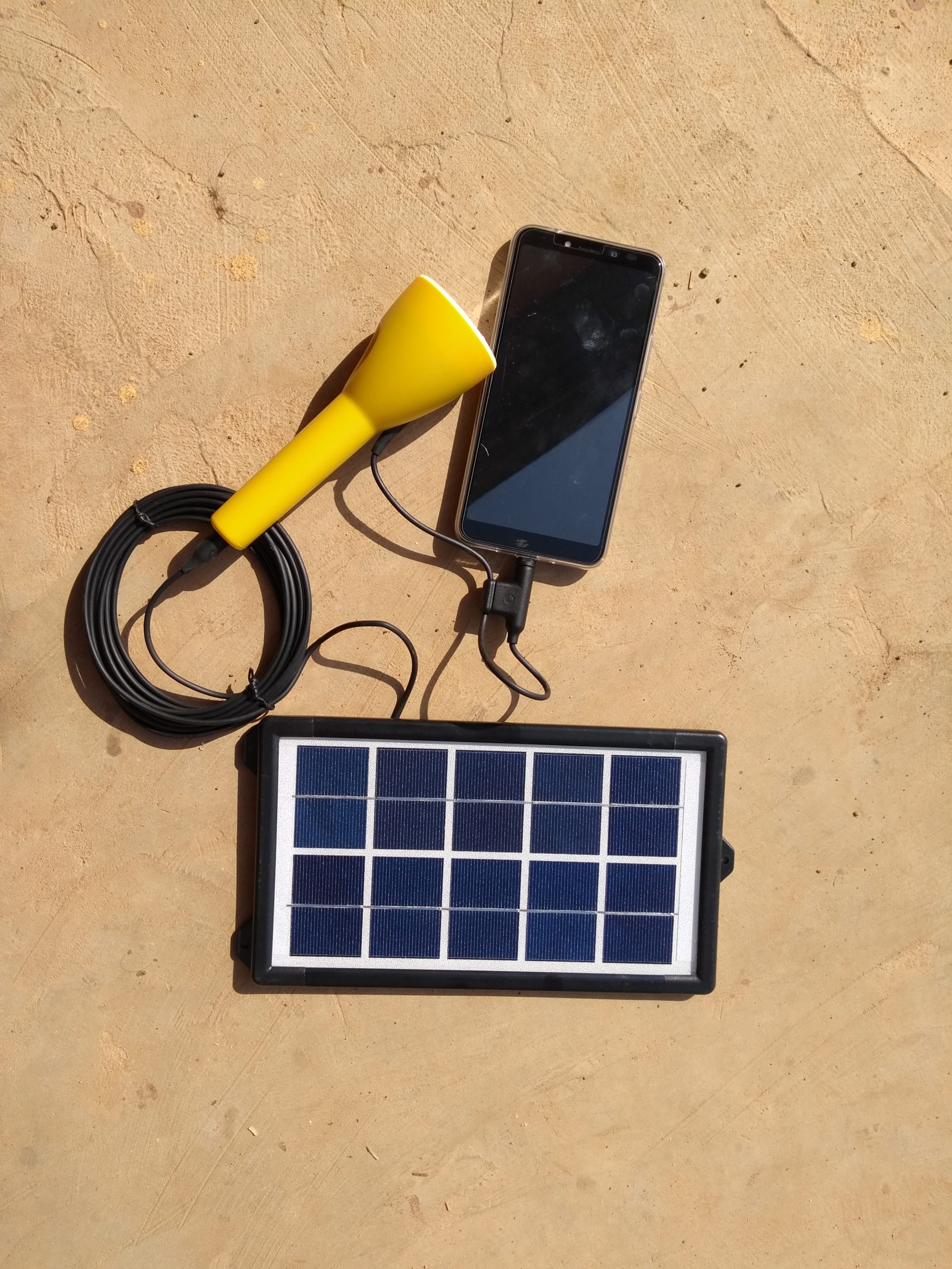
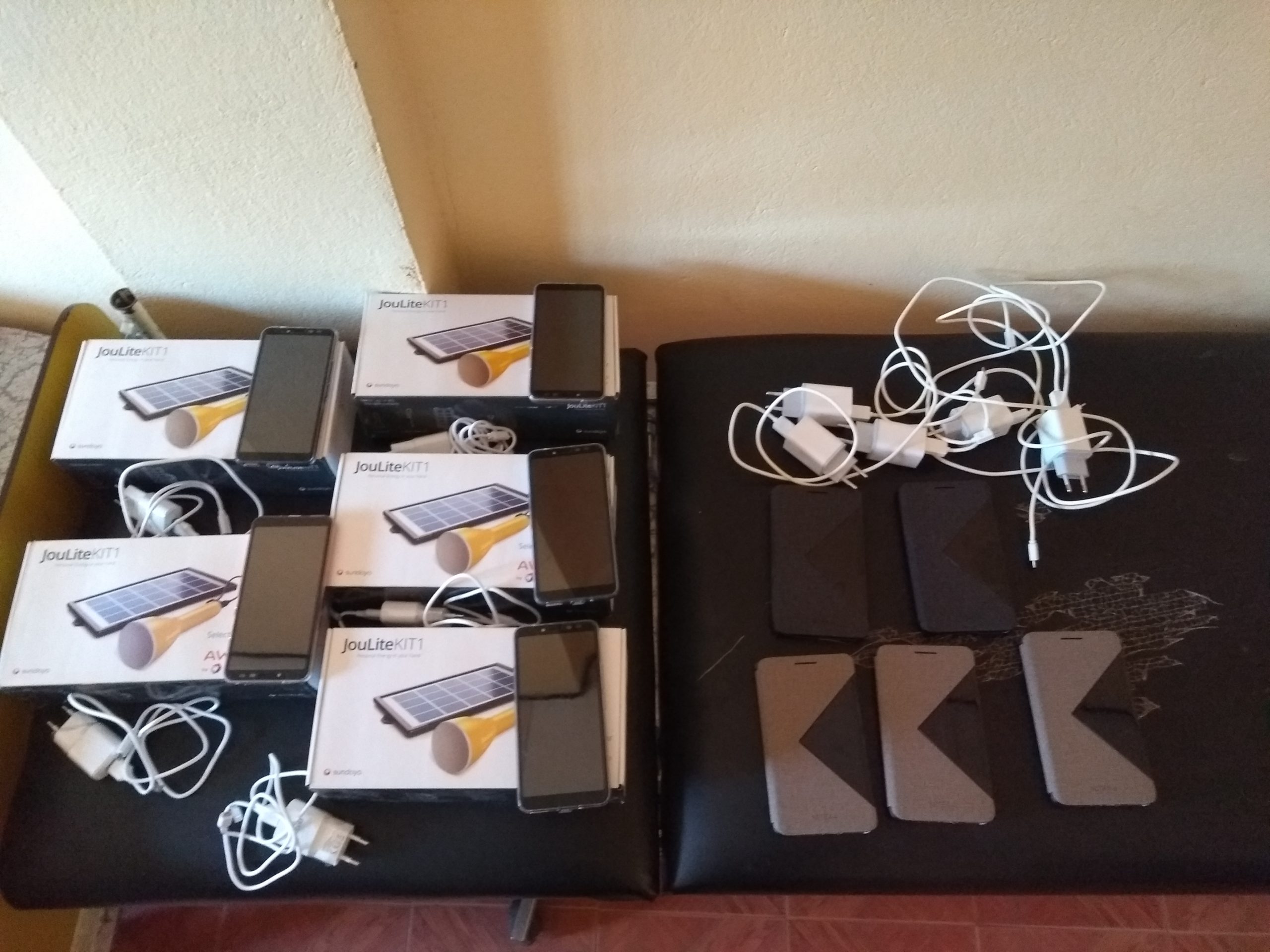
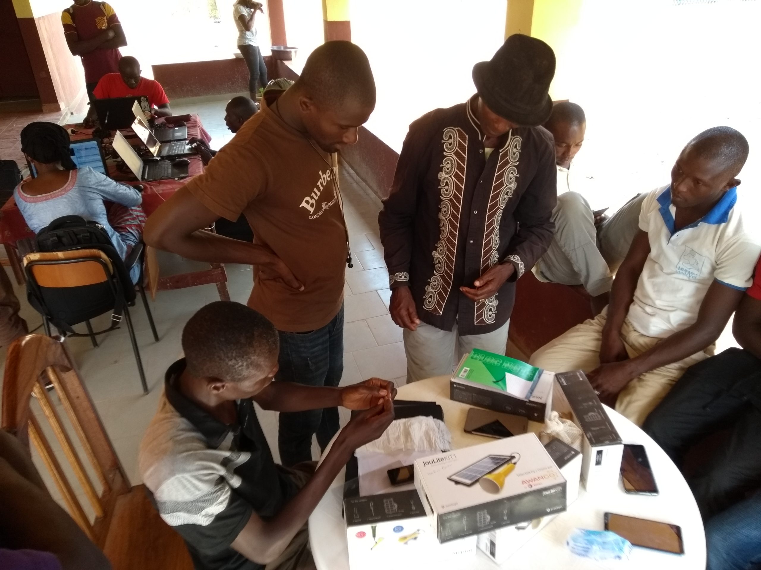
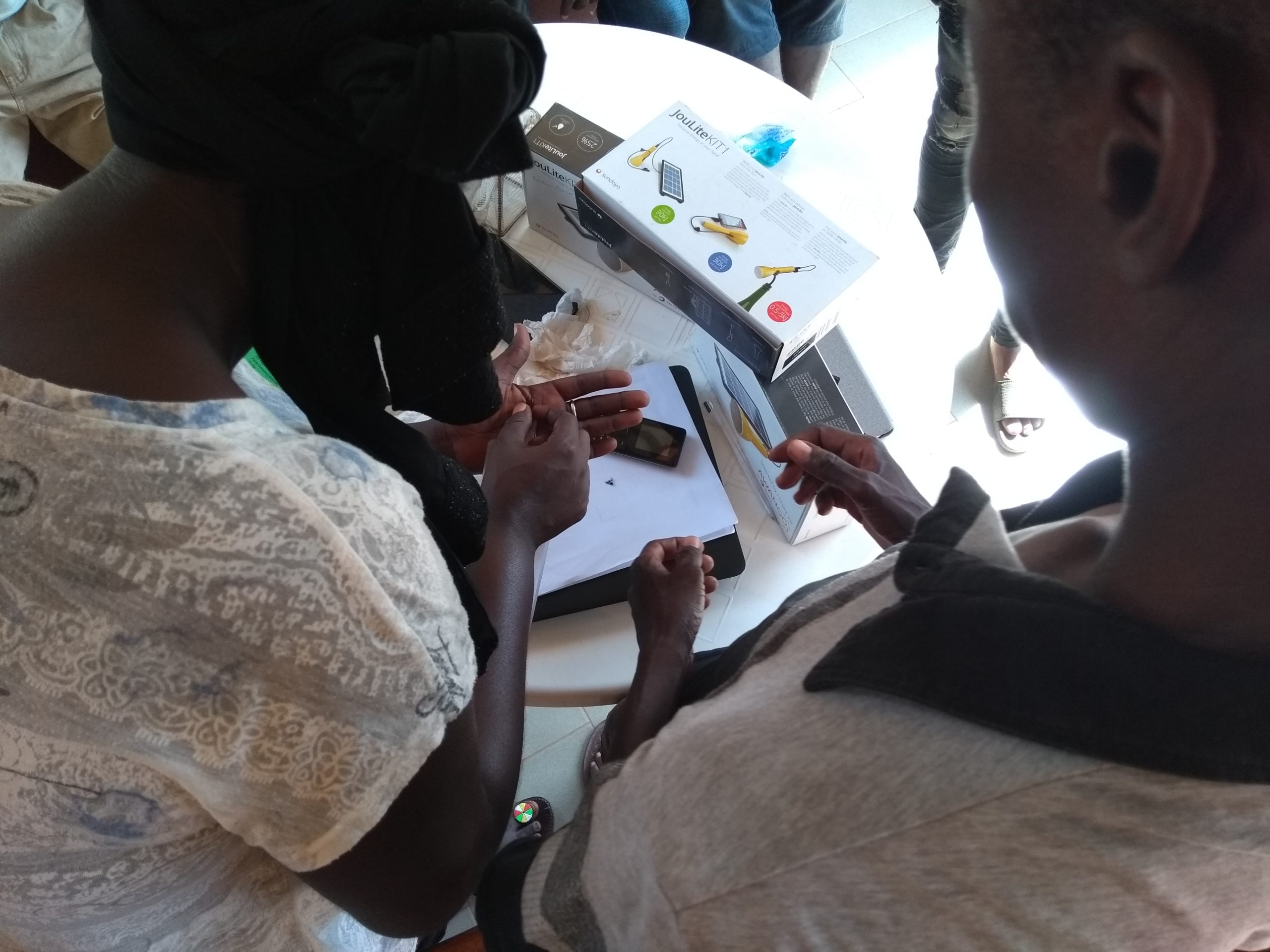
- Provision of equipment (cell phones and solar batteries) to the LAV team and community agents (ACs)
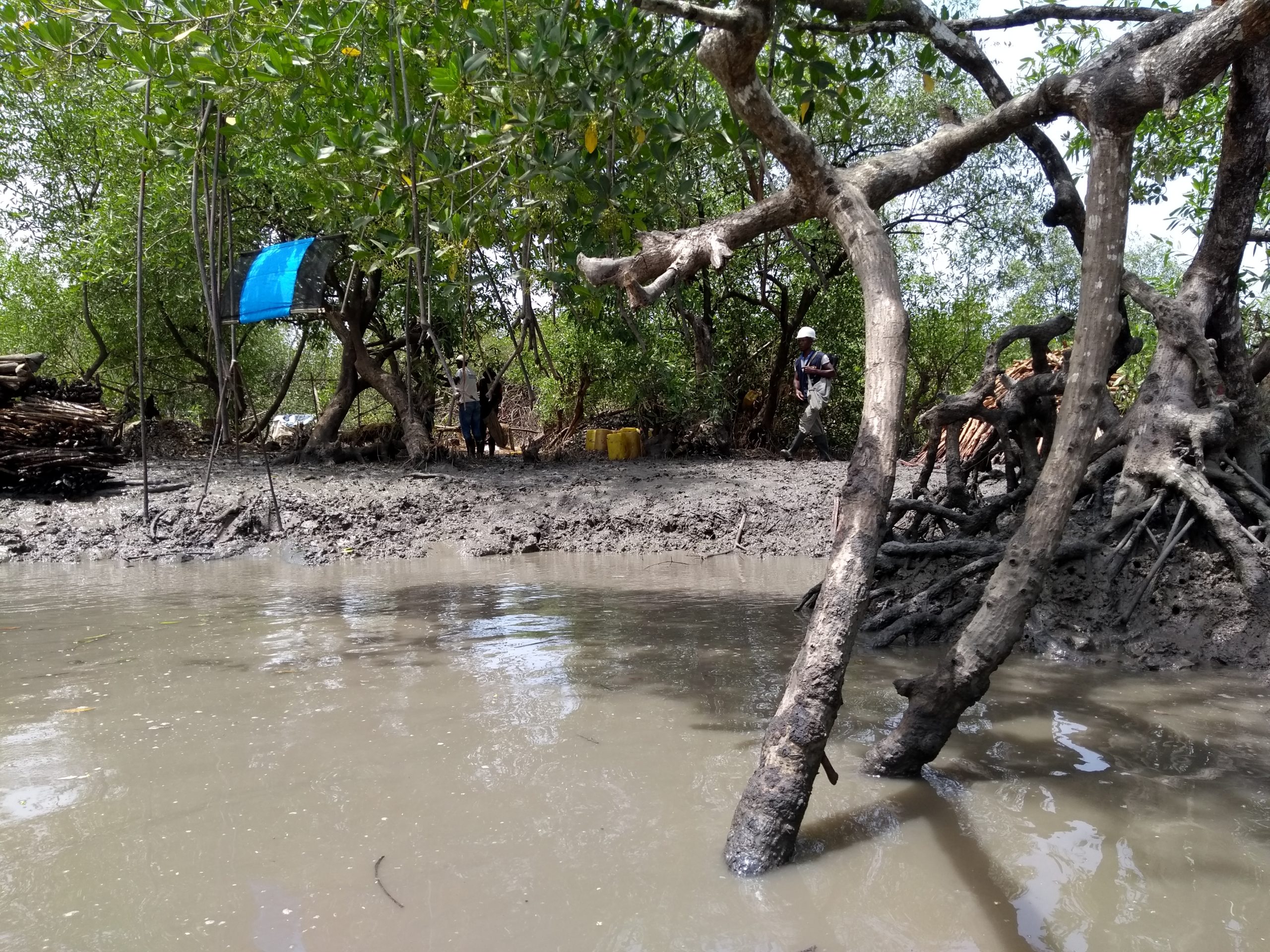
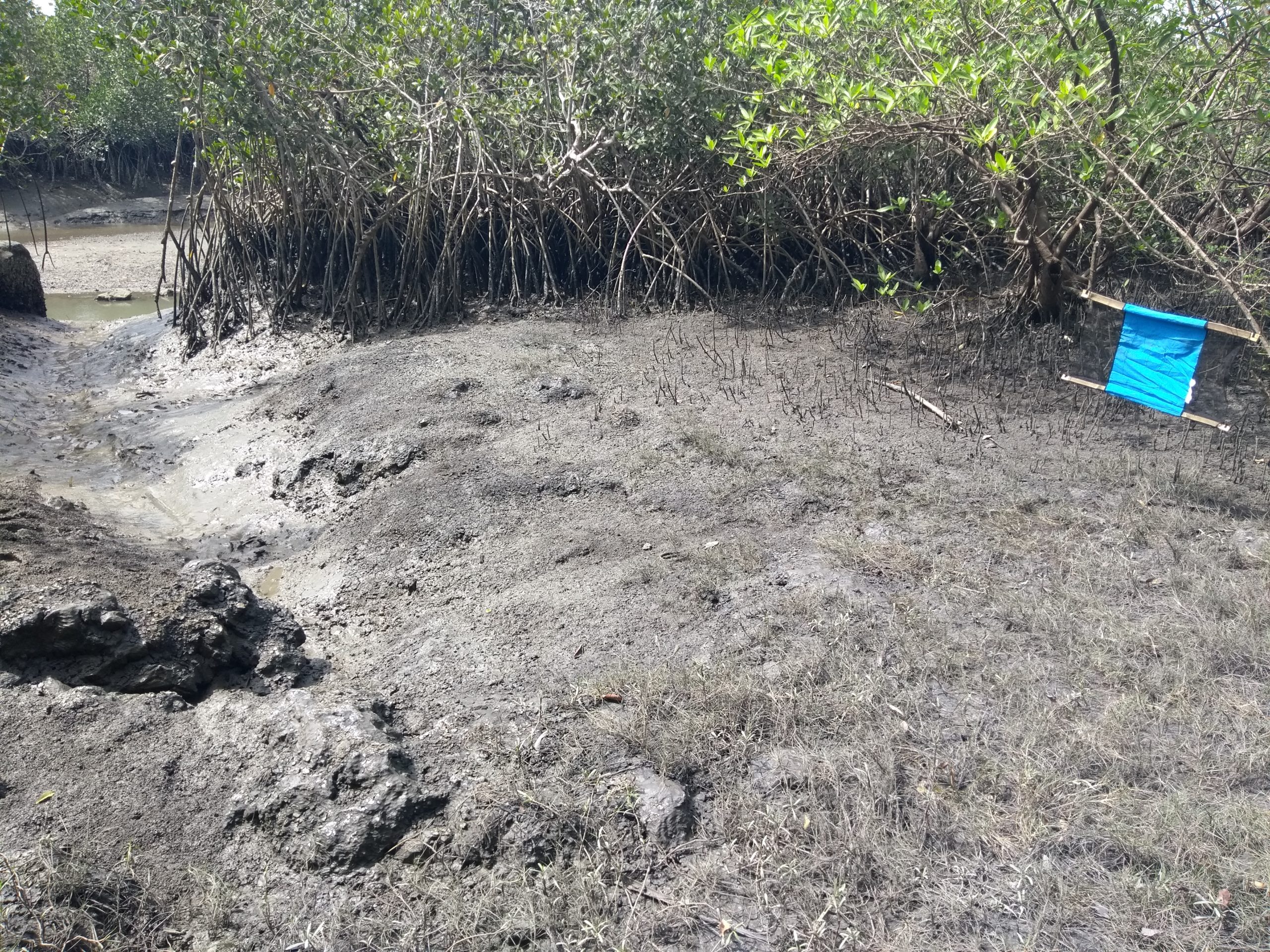
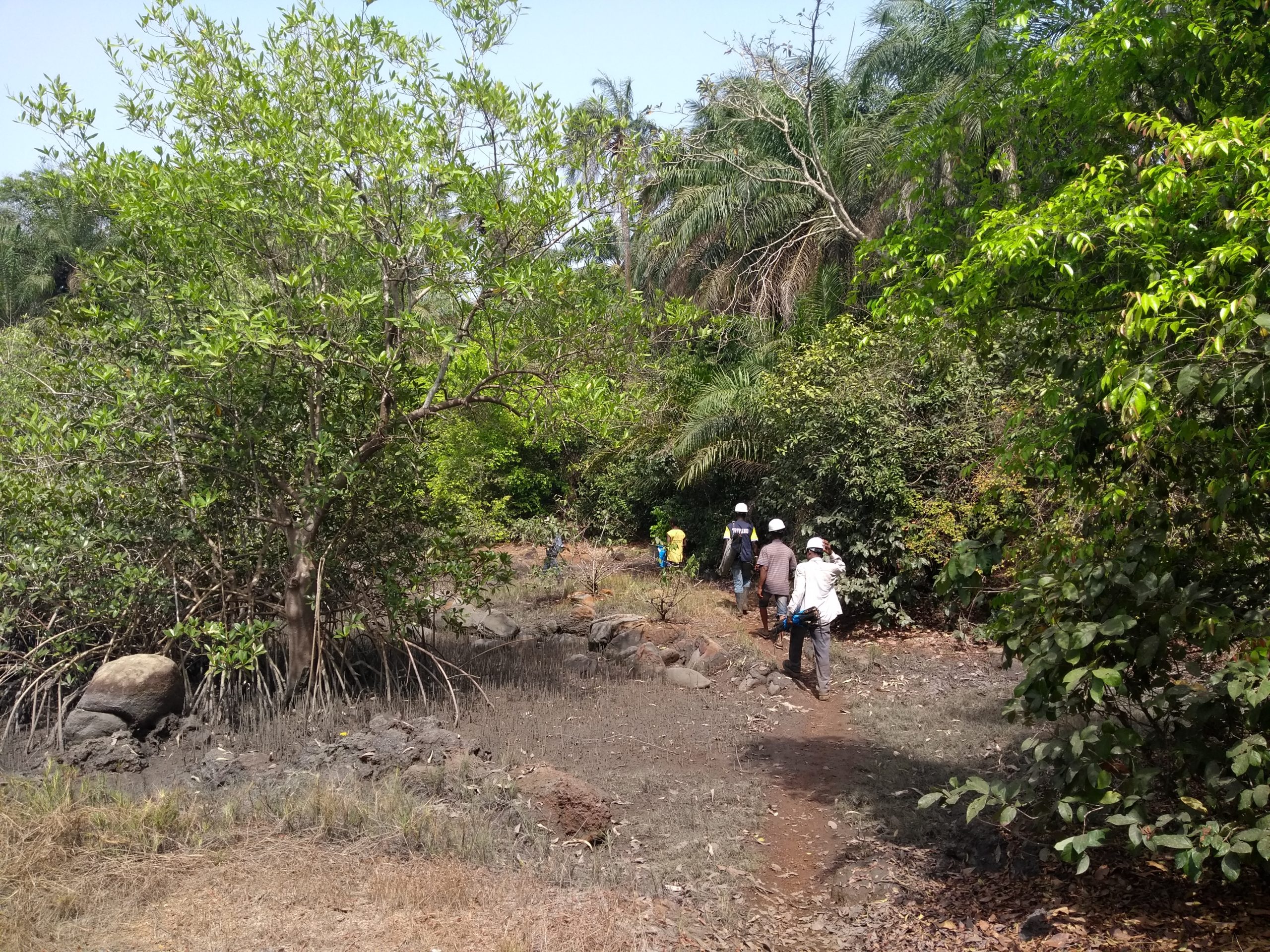
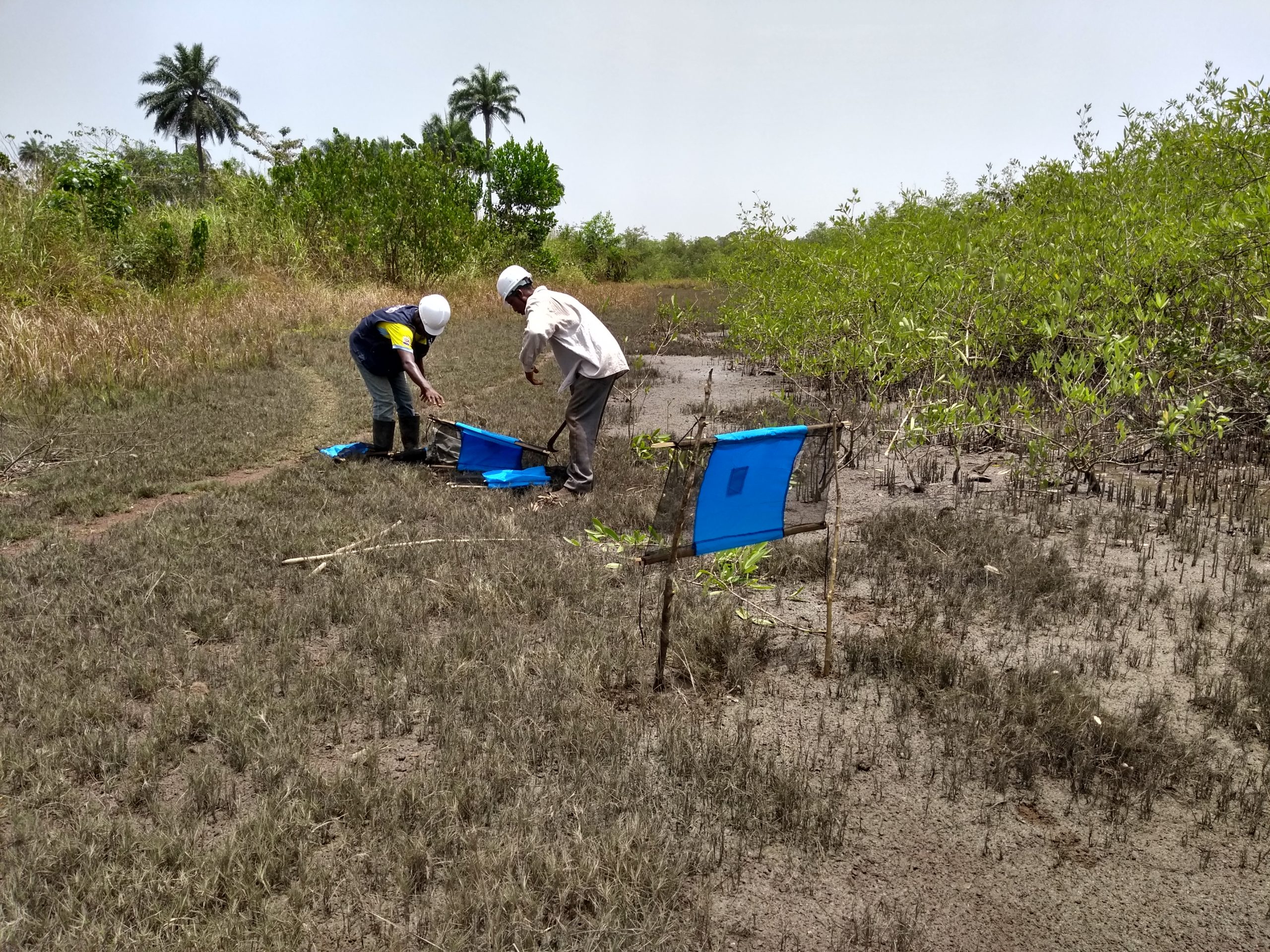
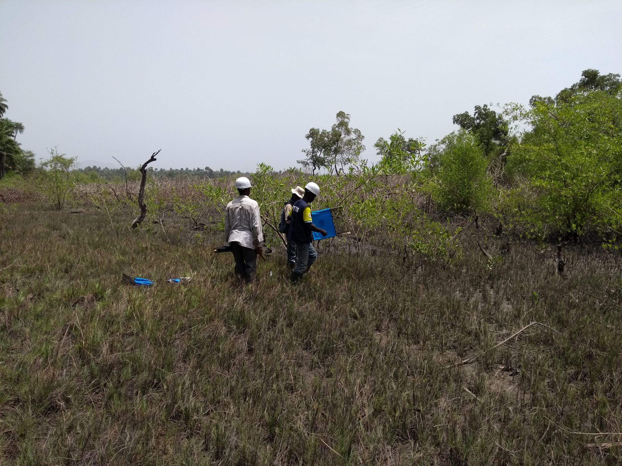
Capacity building for community agents tested through an independent field mapping exercise
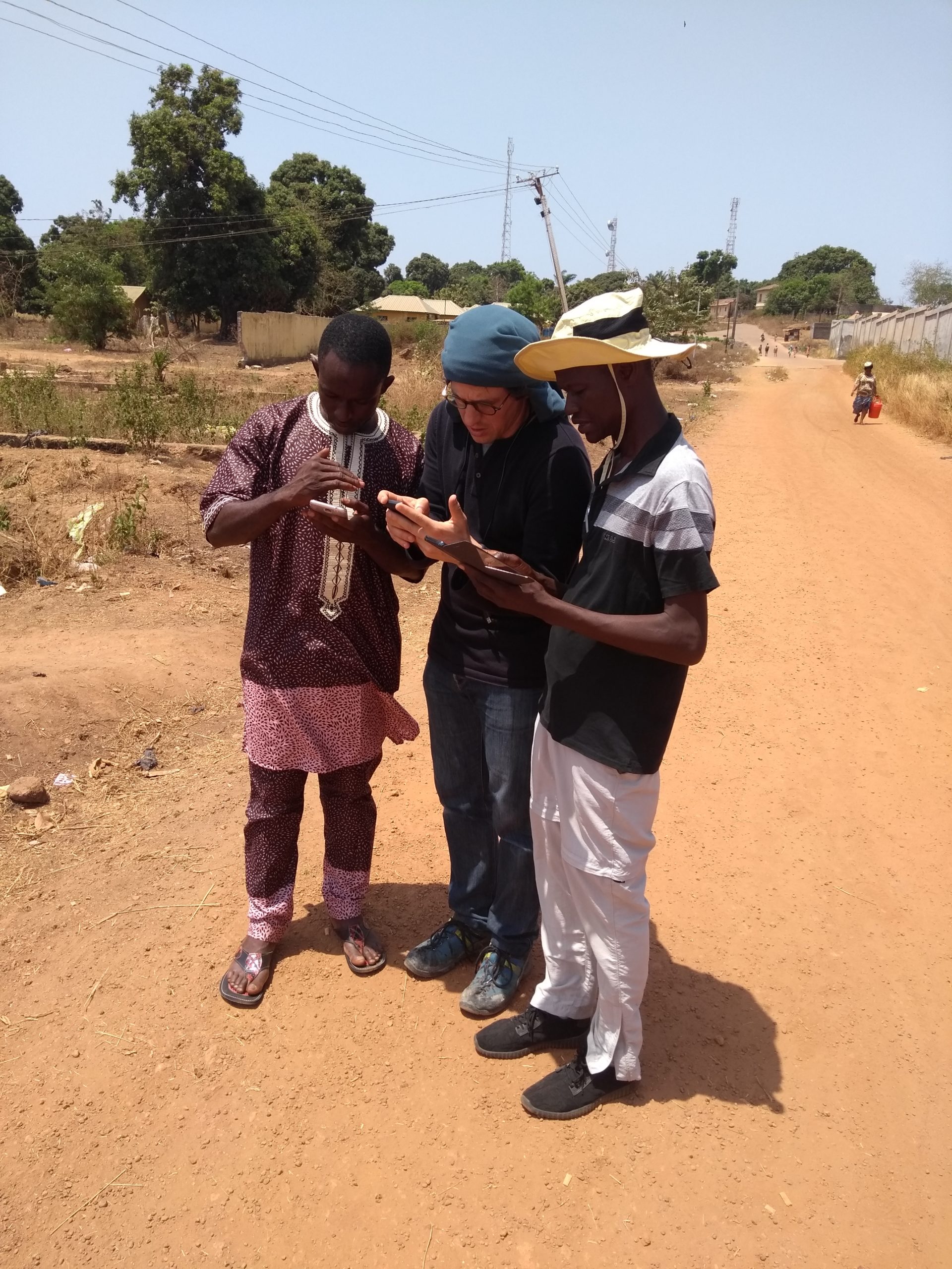
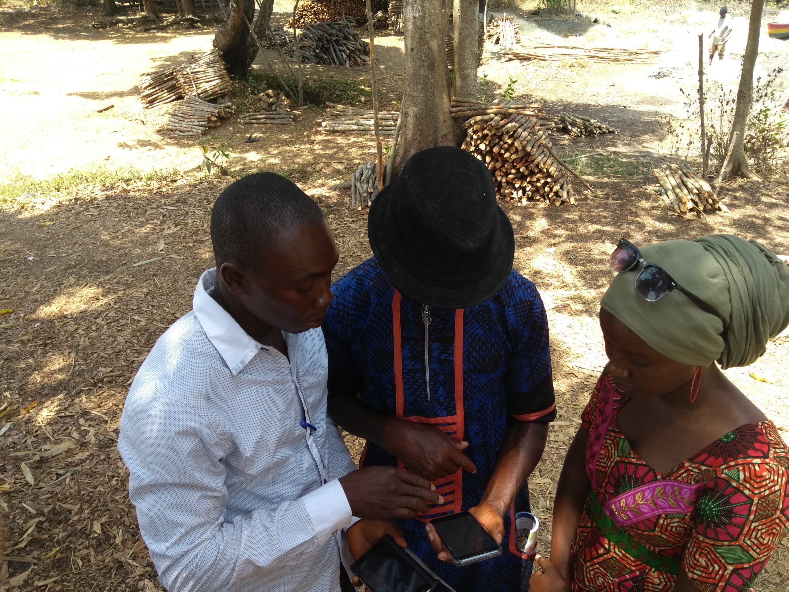
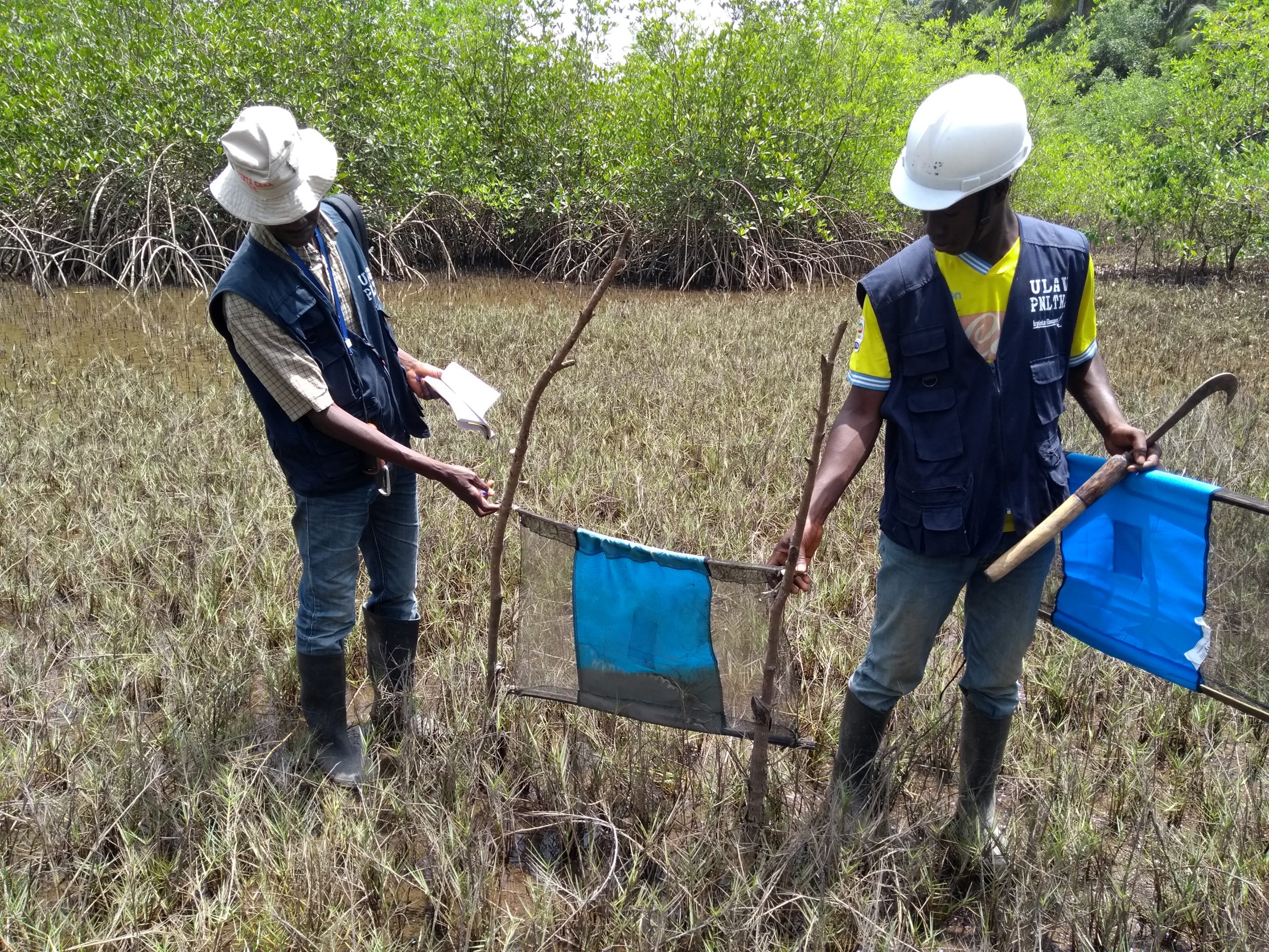
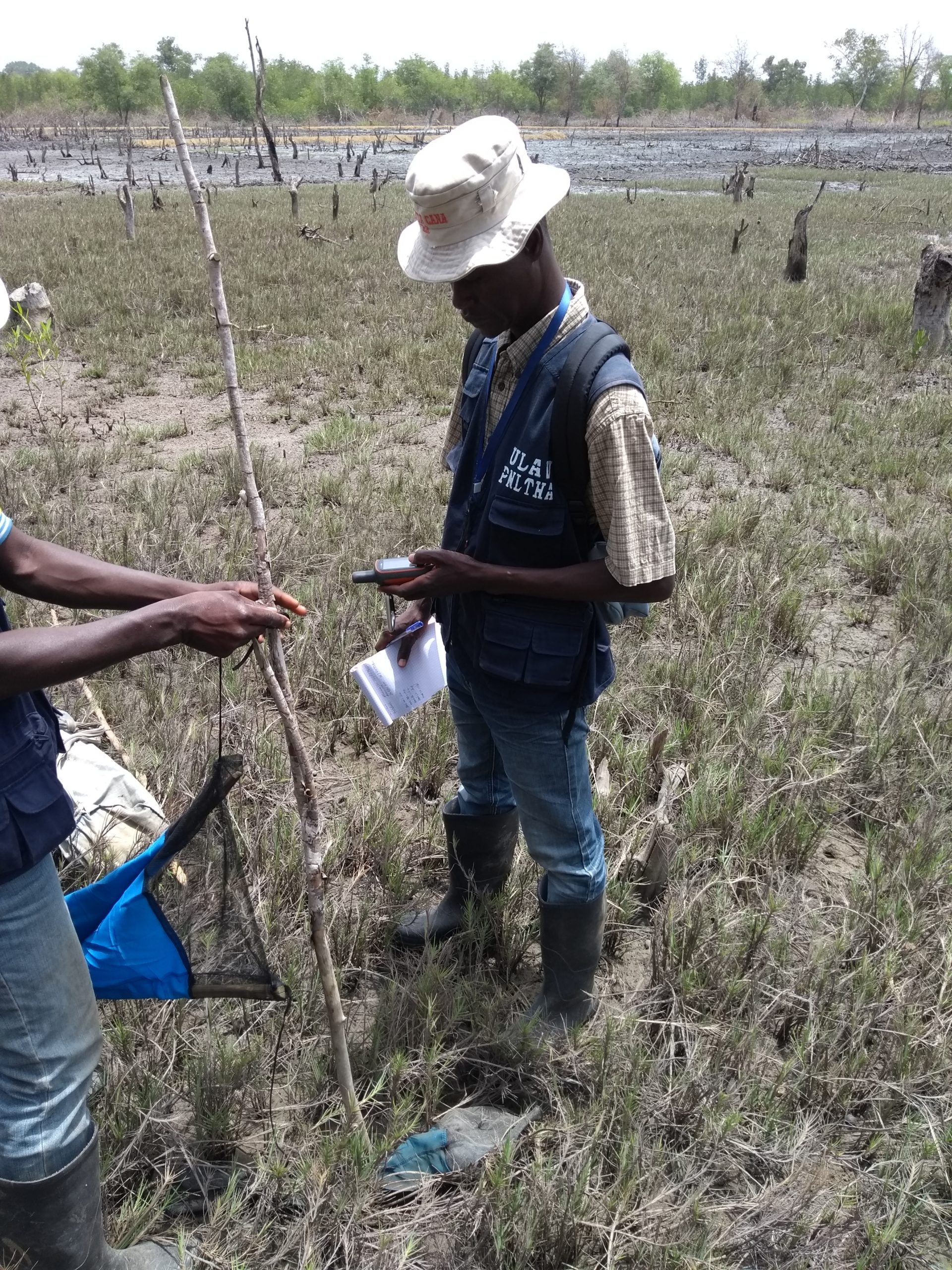
One of the challenges of capacity building was to provide a field data collection solution that could be implemented by the community agents (CAs) of the LAV team, who until then had only assisted the team with data collection in their respective intervention areas.
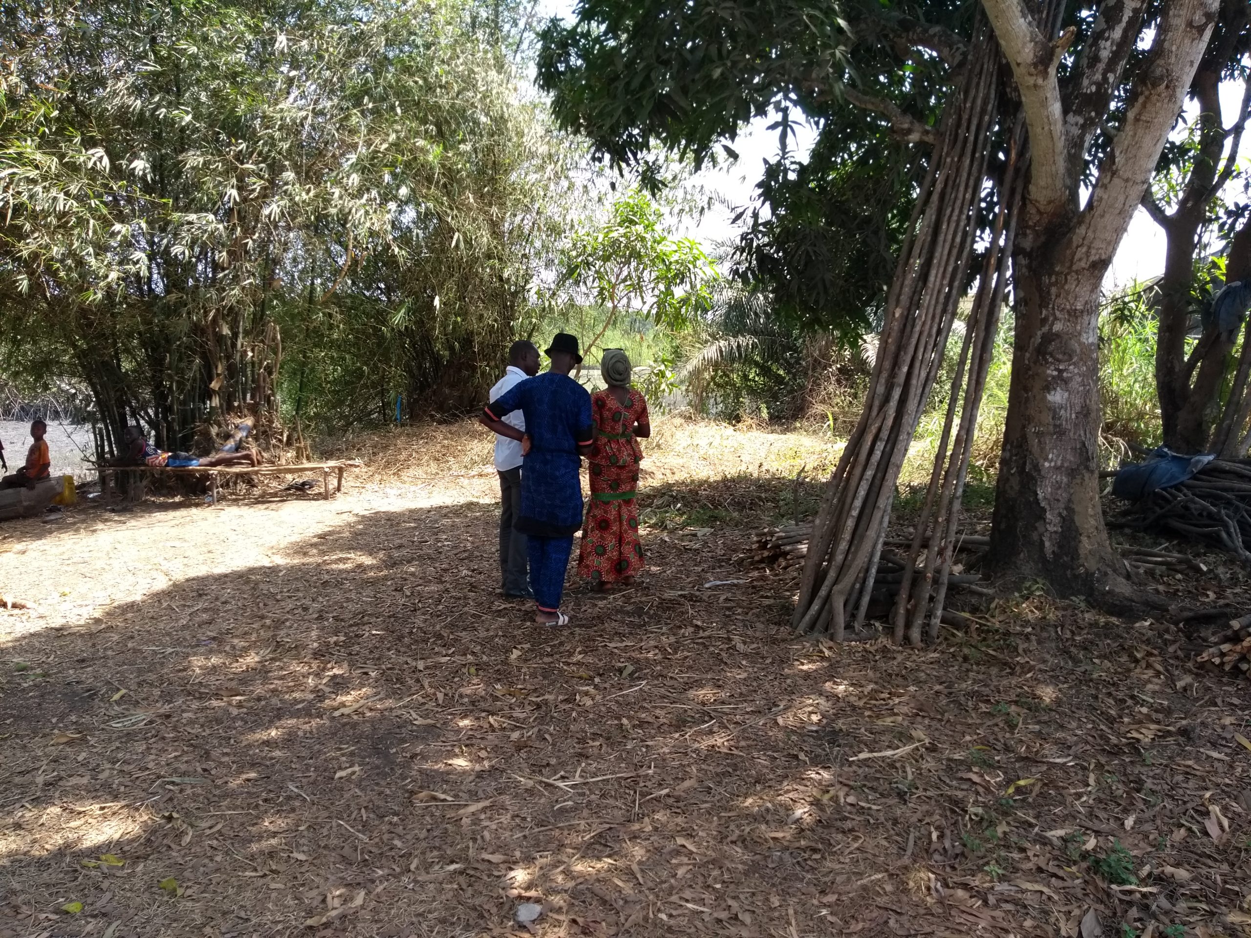
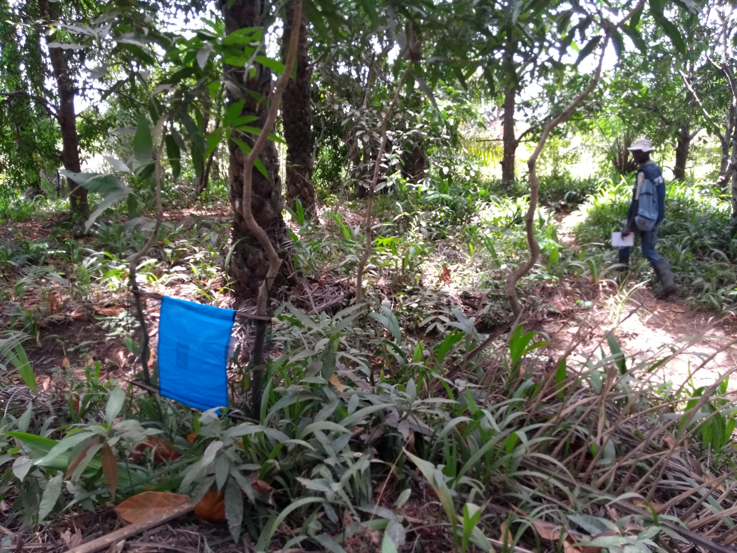
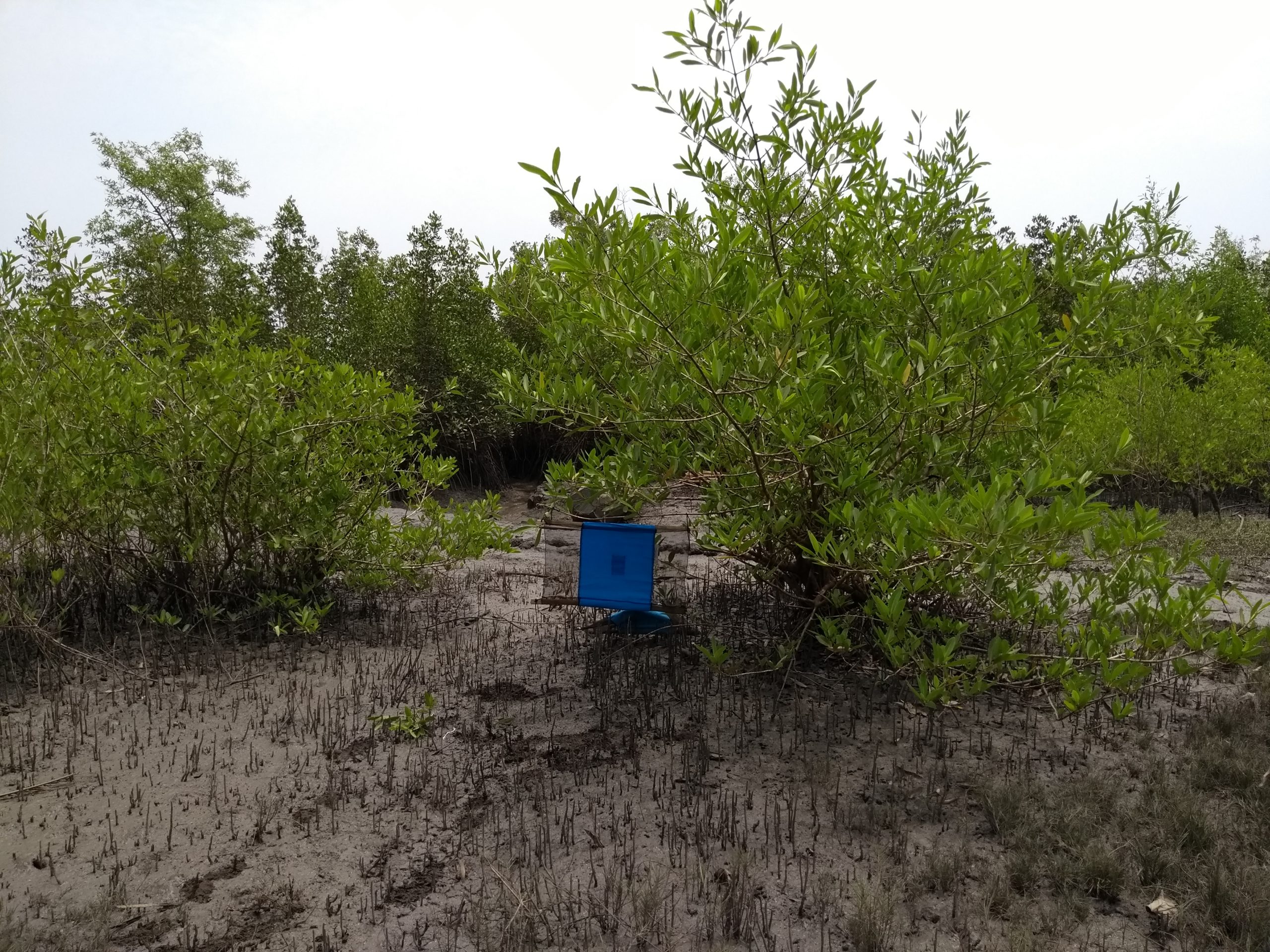
Five smartphones were specifically allocated to this task, and once the LAV team itself had been trained and gained experience in data collection using KoBoCollect, it—with the support of members present from OSM Guinea—was able to train its community agents in Soussou (the main language spoken in areas of Guinea where THA is prevalent). This training was immediately followed by the community agents returning to their villages to test their ability to independently conduct data collection activities related to the monitoring of vector-control screens.
The results were particularly impressive, as all five Community Agents successfully collected all the required information on these screens in their home villages and subsequently transmitted the data via the internet to the KoBoToolbox central server.
At the same time, members of OSM Guinea were trained to serve as the primary support for the LAV team
Experienced open-source geomatics members of the OSM Guinea project were involved in the mission’s work so that they could familiarize themselves with the methods, techniques, and tools used by LLg, with the goal of strengthening the geomatics approach of the PNLTHA LAV team. This project component was implemented with a focus on sustainability and aims to provide PNLTHA with a local volunteer community support network and high-quality future partners.
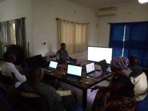
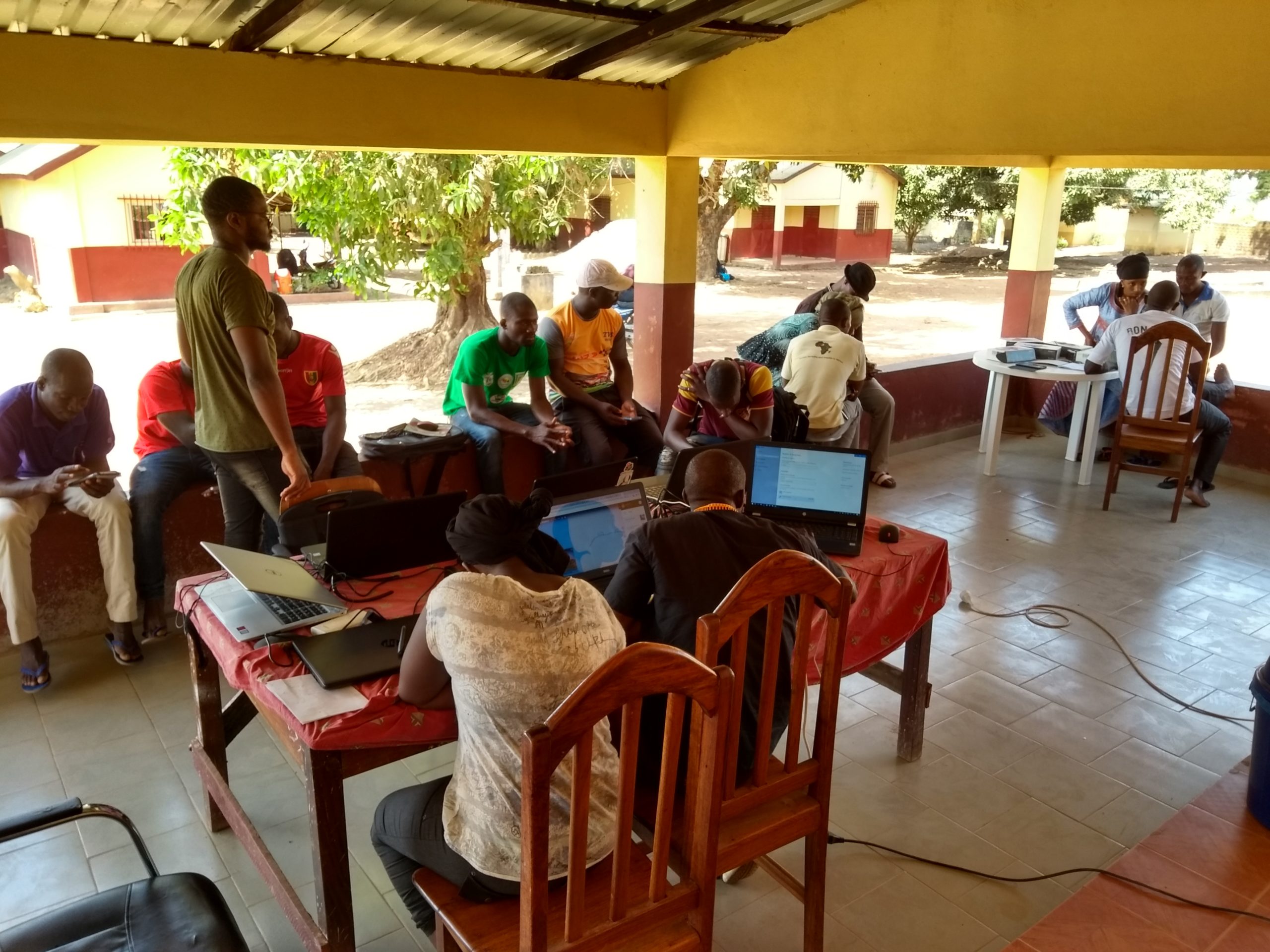
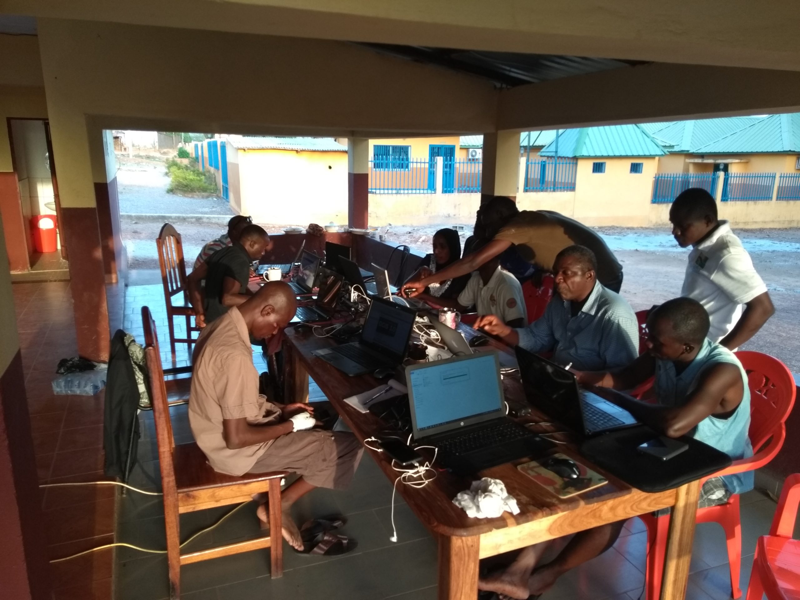
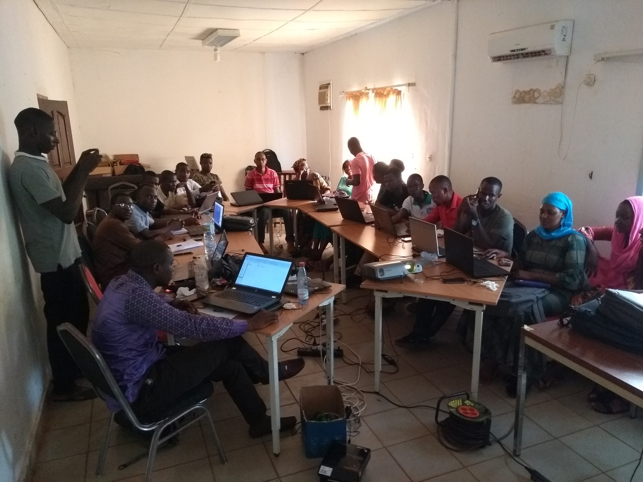
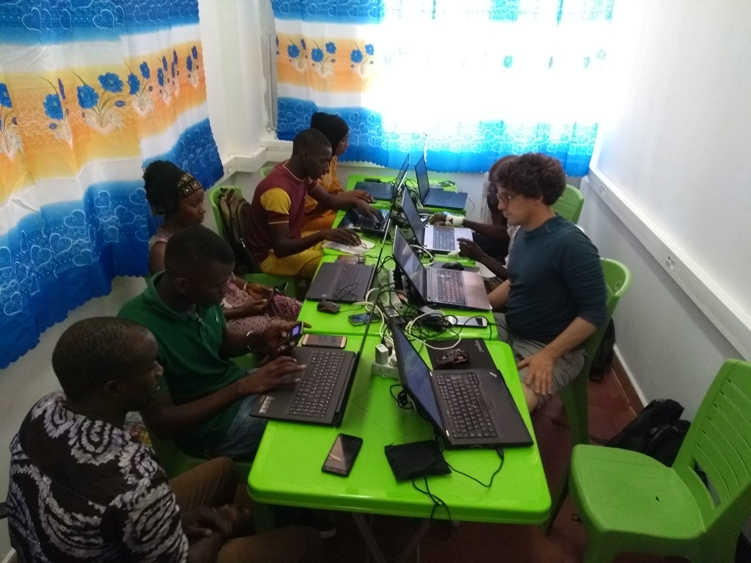
A group of six OSM GN mappers was thus strengthened through a specific capacity-building program focused on the OSM technical workflow, KoboToolbox, uMap, and QGIS, with the goal of enabling them to co-facilitate training sessions for the LAV team and, ultimately, to support the team after the mission. The approach employed by LLg was a “train-the-trainer” program organized on the LAV’s own premises, in order to allow both:
- LLg experts to supervise the training program in which the two most experienced members mentor the four less experienced members during the first two weeks of the mission
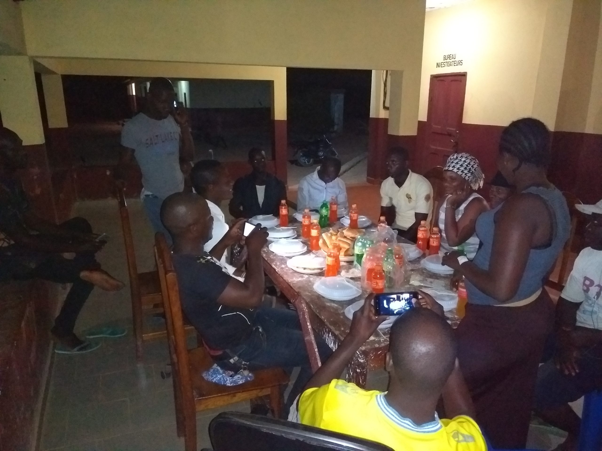
- members to build relationships with the LAV team during breaks and shared meals
Community engagement activities targeting the OSM community in Guinea
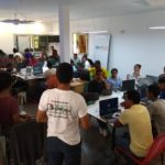
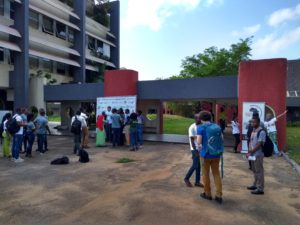
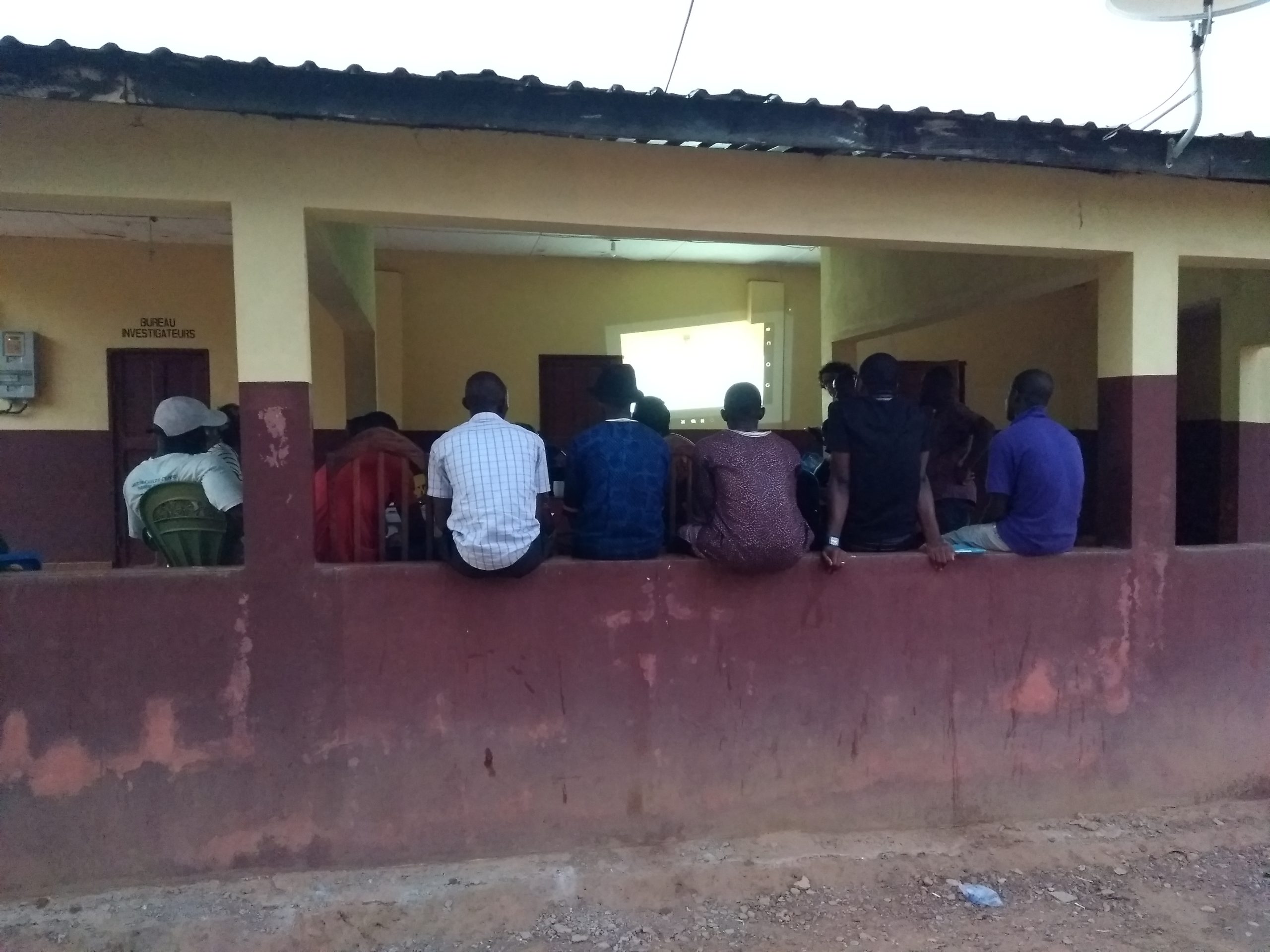
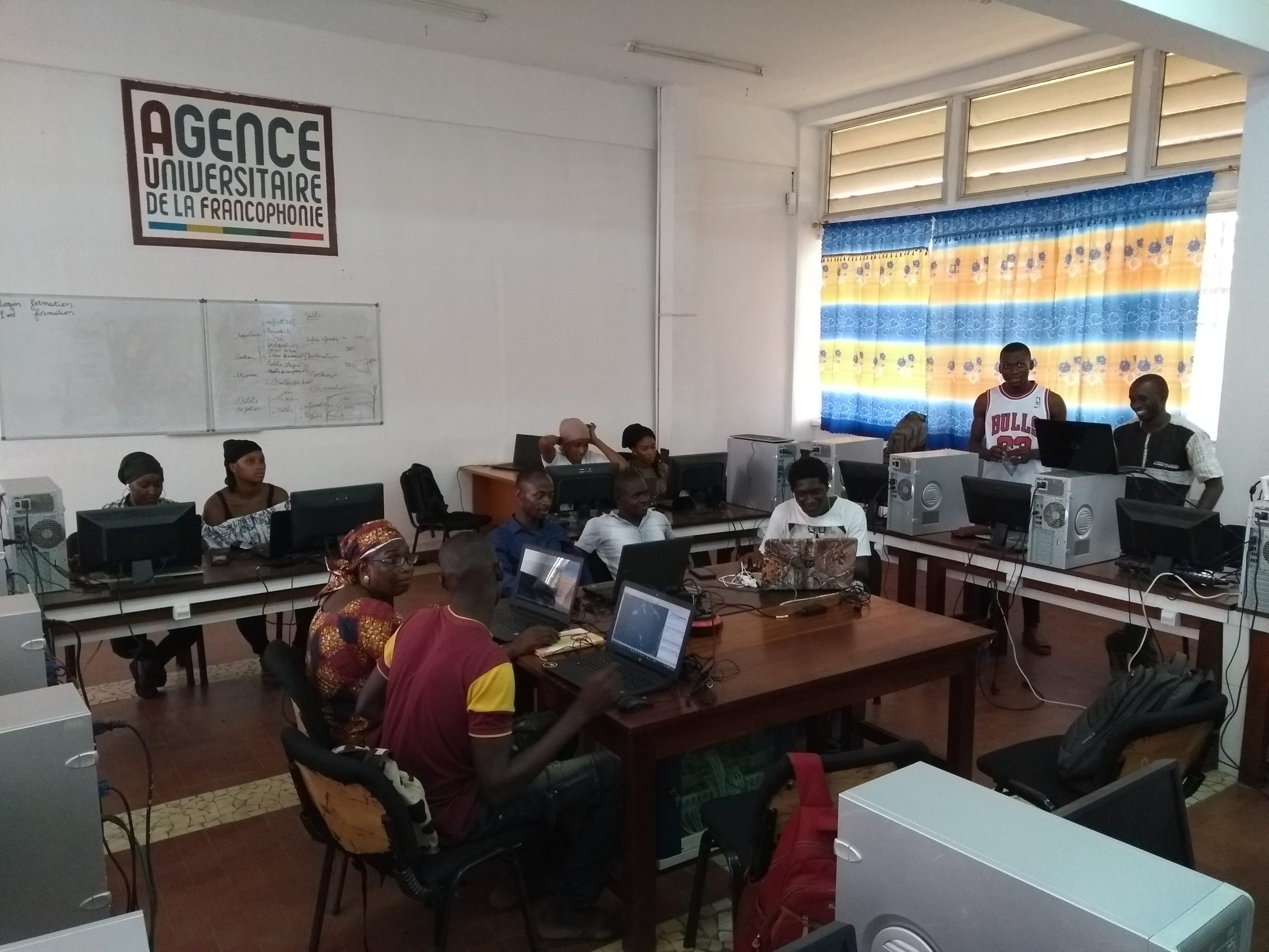
The inclusion of Guinea’s OSM community continued with the organization by the LLG experts and OSM Guinea members involved in this open-source geomatics support mission at PNLTHA of two days of OSM community activities for members of the Guinean OSM community on Saturday, March 29, and Saturday, April 6, 2019. The first event was held in Conakry at the Francophone Digital Campus (CNF) of Gamal Abdel Nasser University, which had hosted the training session organized by the OIF in 2018 and has since served as a venue open to the OSM community in Guinea. Guinean mappers involved in the LLG mission designed and led a training session for new members of the Guinean OSM community, successfully applying the technical skills gained from the capacity-building program conducted in the preceding days in Dubréka.
Three events were held on Saturday, April 6:
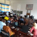
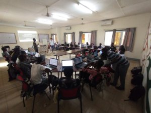
- An introductory workshop on OSM was organized at Sonfonia University by the team and Mr. Lamine Barry, head of the geography department, for about thirty of his students, thanks in particular to the co-facilitation efforts of four members of the training team, who are also alumni of that department.
- A training workshop was organized at the Dubréka Malaria Control Center for community health workers and members of the central team of the vector control unit to review the first week of using KoBoToolbox for monitoring vector control nets and to conduct a final training session before adopting this approach.
- At the end of the afternoon, the workshop co-facilitators from Sonfonia and the head of the geography department traveled to the Dubréka center to join the rest of the LLG training team and the PNLTHA central team for a mass map data creation workshop (“ mapathon”) focused on the Dubréka THA outbreak area as part of the “Night of Geography” event.
Post-mission remote follow-up
As part of the capacity-building mission, two additional days of workshops were to be organized based on the LAV team’s busy schedule and the needs expressed by its members, whether for review or in-depth study. These two days of workshops were prepared and facilitated remotely by LLg, with each day led by half of the OSM Guinea members who had participated in the March–April 2019 mission and who served as co-trainers. One of them is, in fact, regularly hired by the LAV team to participate in its field missions to provide geographic support, and consults with LLg as needed on specific issues he has been unable to resolve.
The workshops also focused on updating the cascading lists of visited villages and hamlets in KoBoToolbox, as well as on how to analyze the collected data using KoBoToolbox technology, which the LAV team has fully integrated into its workflow and now uses for all its thematic data collection efforts. The LAV team also participates in updating OSM data for its areas of operation, particularly with regard to settlements and place names.
Location