Outreach and Training Workshops on OpenStreetMap and Open Geomatics in Conakry
Oct 2018


This project was featured in an article in Issue 430 of the online WeeklyOSM newsletter.
Background
In the Republic of Guinea, the OpenStreetMap project remained relatively unknown until the 2014 Ebola humanitarian crisis, which claimed more than 2,500 lives. During the Ebola crisis, the global OSM community organized a massive mapping effort of the affected areas, and on-site mapping activities helped foster local expertise, which led to the founding in 2016 of the NGO GéoSynapse, which subsequently organized regular, free training workshops aimed primarily at geography students at the University of Sonfonia. A member of GeoSynapse was invited to the open-source OSM and geomatics workshops held in Bamako in May 2017 by the OIF/DFEN.
In addition, during the OIF-DFEN OSM event in Cotonou in the spring of 2016, a meeting took place between the team of experts deployed to lead the two training workshops and two members of the Guinean Bloggers’ Association (ABLOGUI) who were in the Beninese capital. The sharing of these insights upon their return led to the formation of an OSM collective among certain members of ABLOGUI, whose activities focus on promoting the OSM project and conducting volunteer-based mapping, with the goal of establishing a broad community and decentralizing its operations to certain cities in the interior of the country.
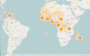
Although Guinea had been included in the CarteInnov project since 2017, it had not previously benefited from an OSM initiative funded by the OIF/DFEN on its territory, due to its landlocked location and road network, which do not allow for the organization of initiatives in which trainer-of-trainers can travel by land, as has been the case in Ouagadougou, Lomé, Abidjan, or Cotonou. This OSM event, organized by the OIF/DFEN from October 1 to 13, 2018, provided an opportunity to revitalize ongoing activities, expand the OpenStreetMap Guinea community, and strengthen local expertise – notably by including members of GeoSynapse and Ablogui among the trainers and participants. Its impact was further enhanced by the additional week in Conakry voluntarily spent by the mission’s senior coordinator, a member of Libres Géographes.
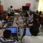
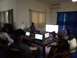
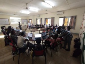
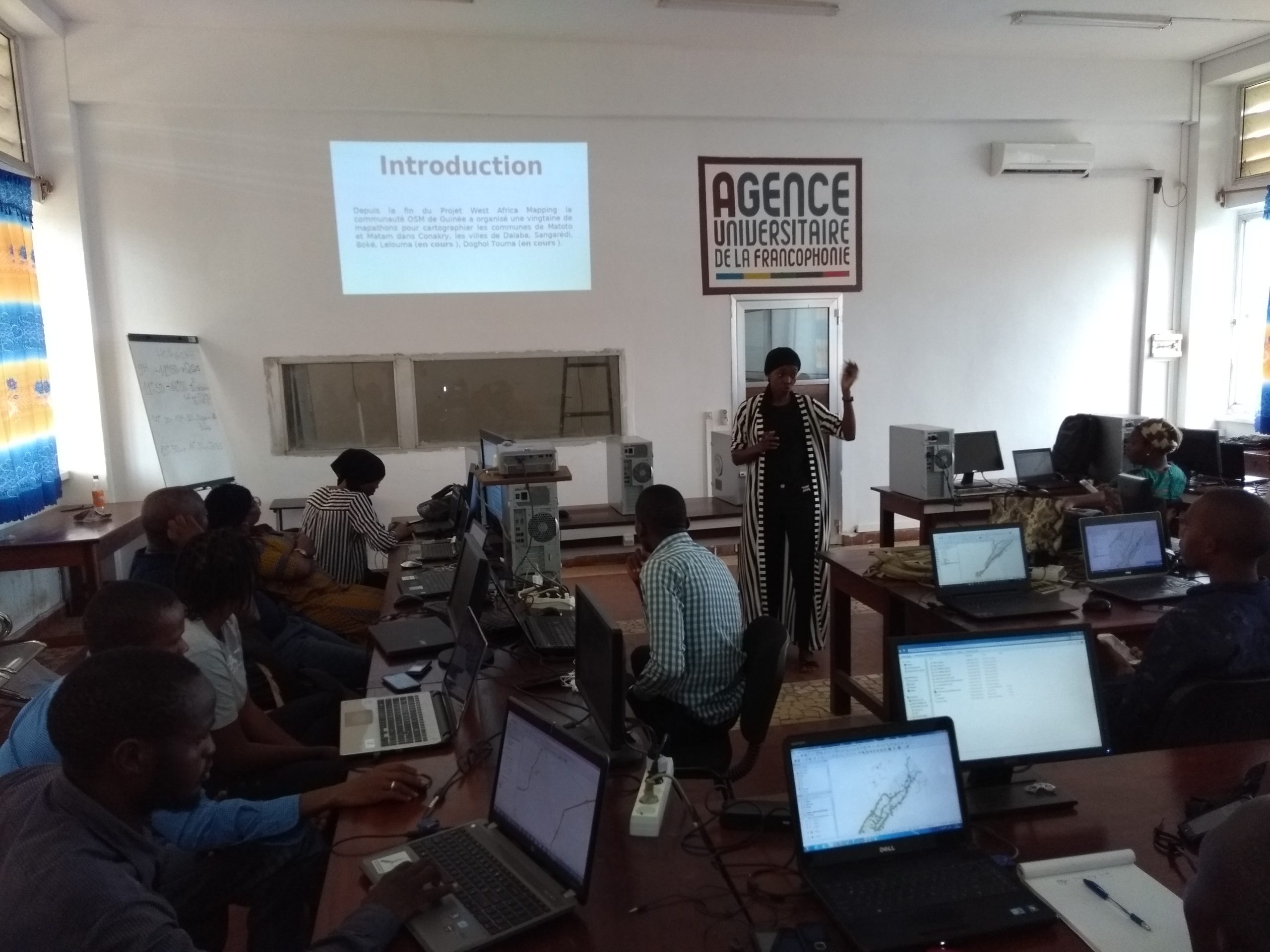
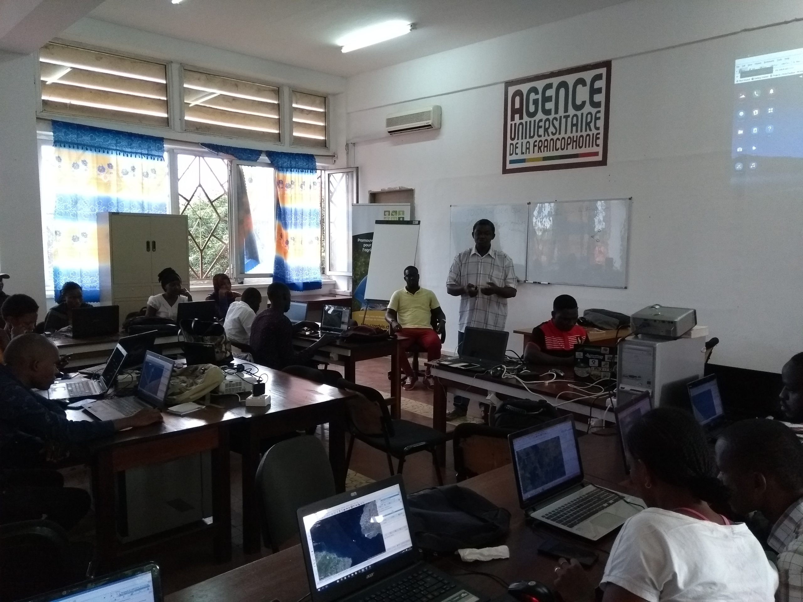
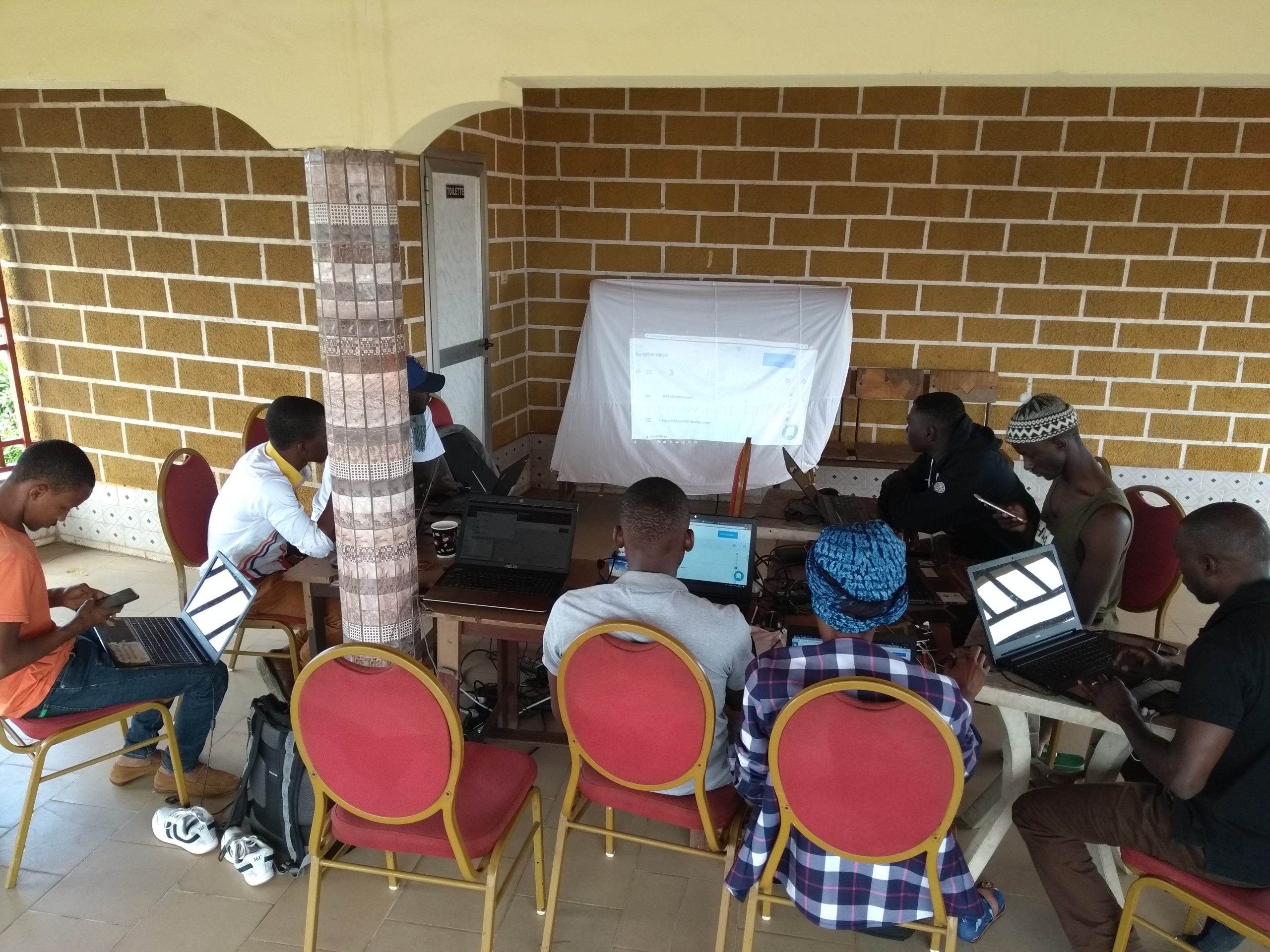
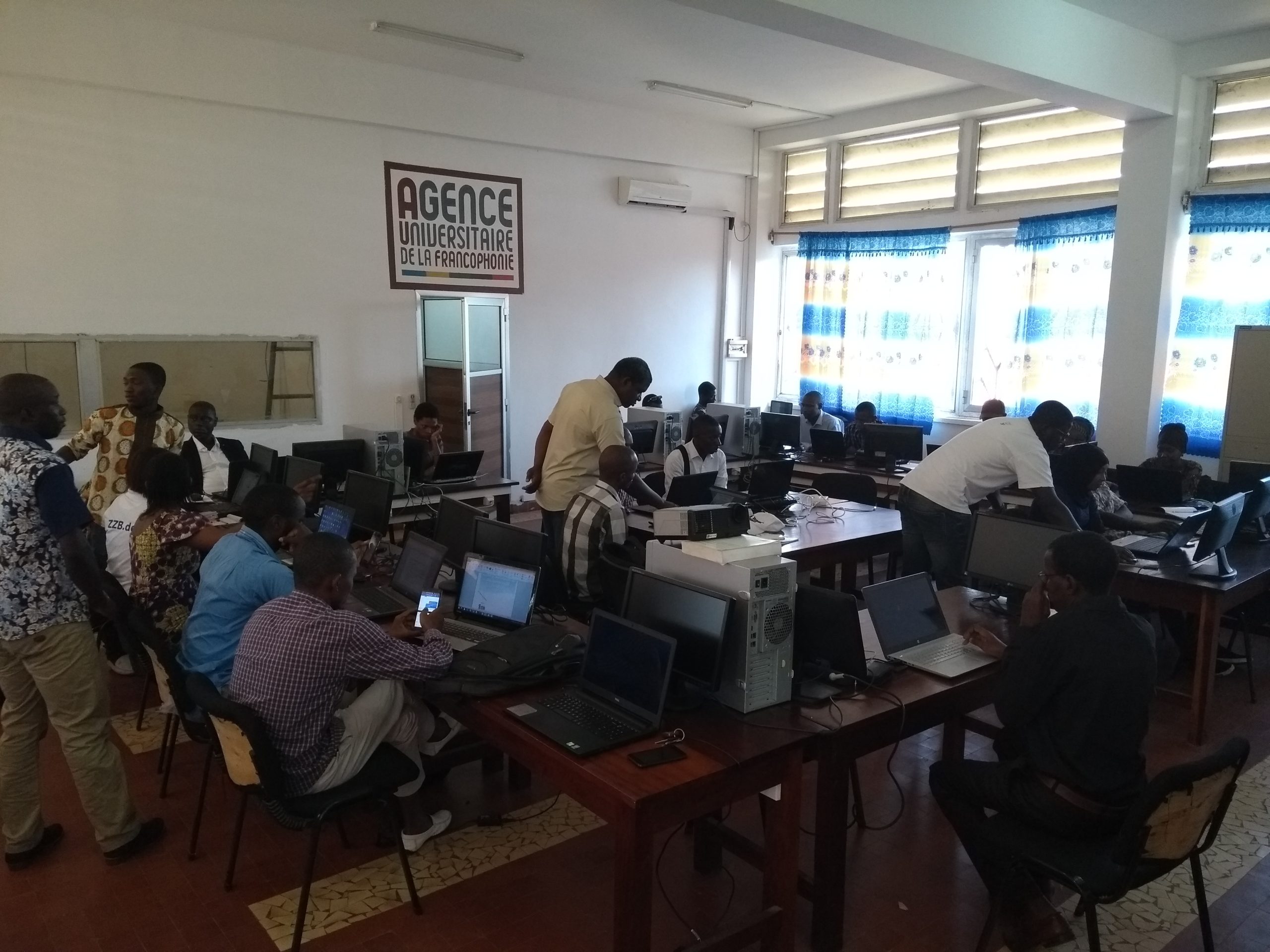
Training workshops held at a single location at the CNF in Conakry
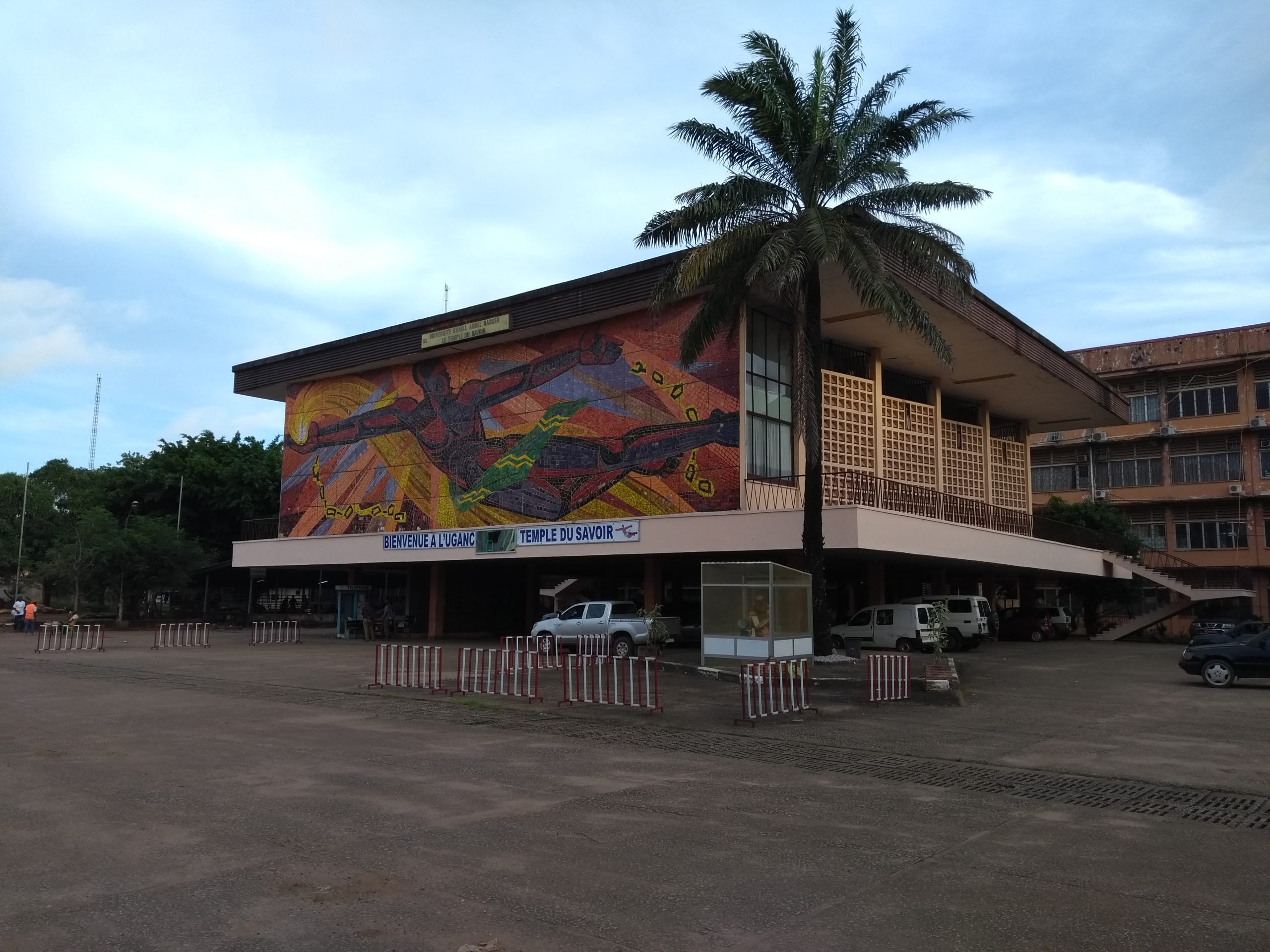
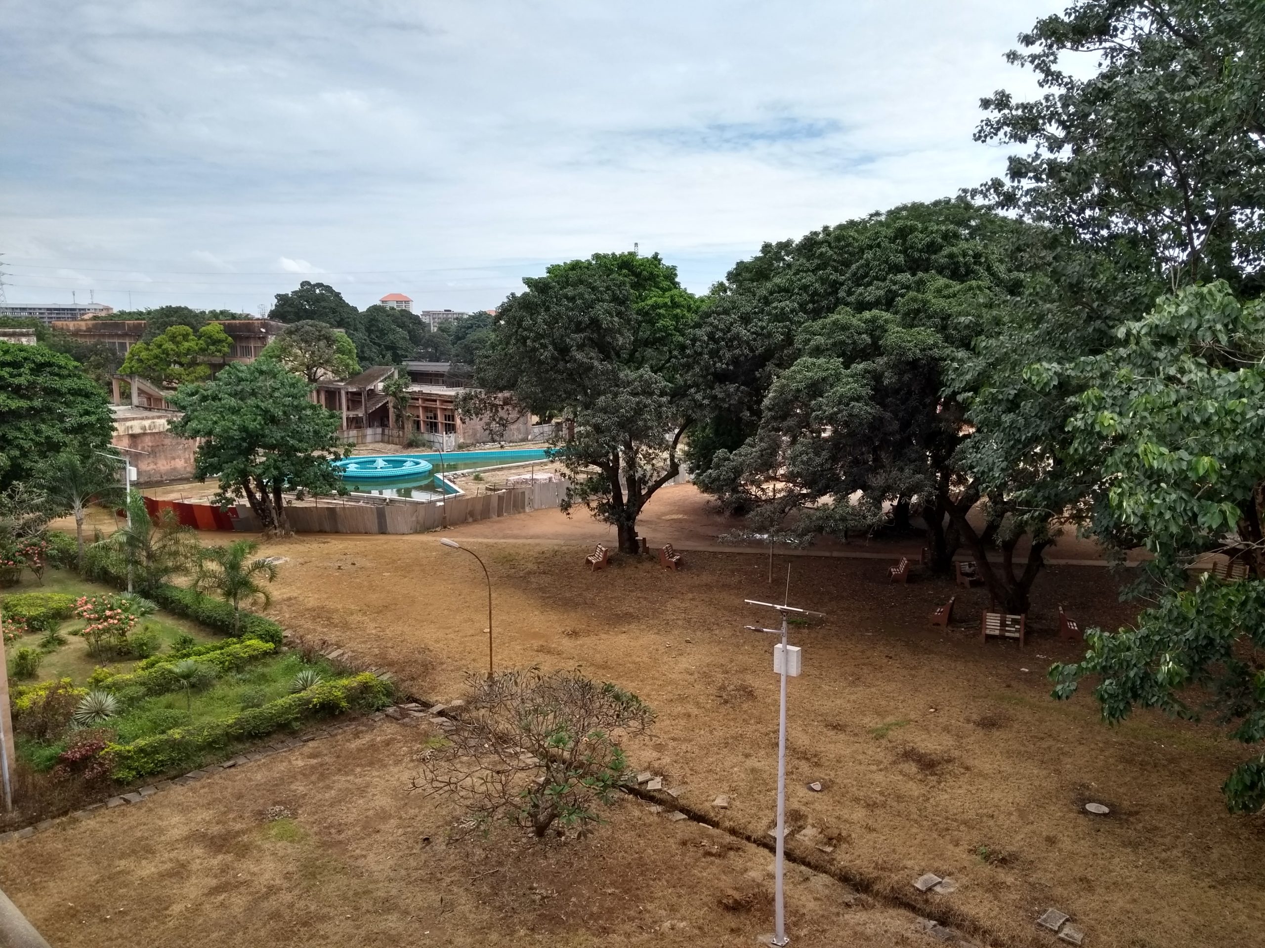
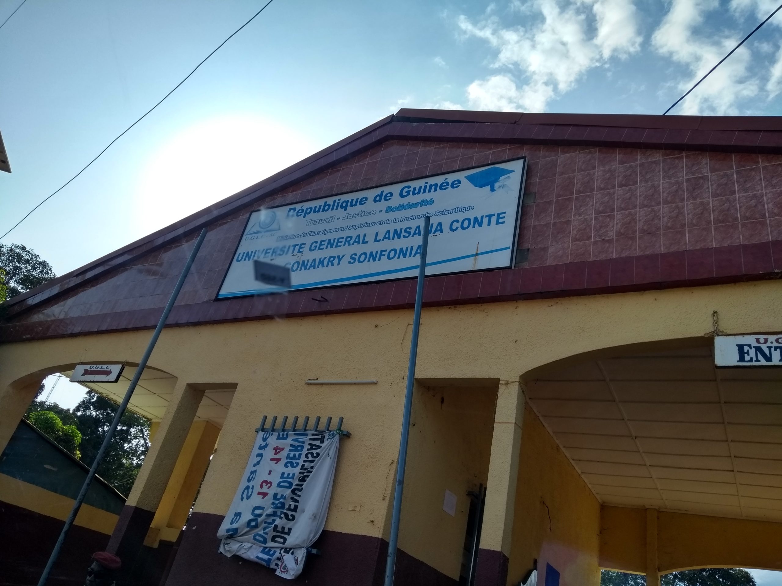
The Campus Numérique Francophone (CNF), located at Gamal Nasser University in Conakry (UGANC) in Conakry was approached in advance to make its large training room available for the duration of the workshops. The room features seating for more than 25 people, a battery backup system to compensate for the fairly frequent power outages in Conakry, and a dedicated high-speed internet connection for Guinea. The possibility of holding a second workshop simultaneously at another location was ruled out, as the available options – such as the University of Sonfonia – were located significantly farther north of the Guinean capital and would have forced the training team to contend with severe traffic congestion in Conakry during weekday rush hours.
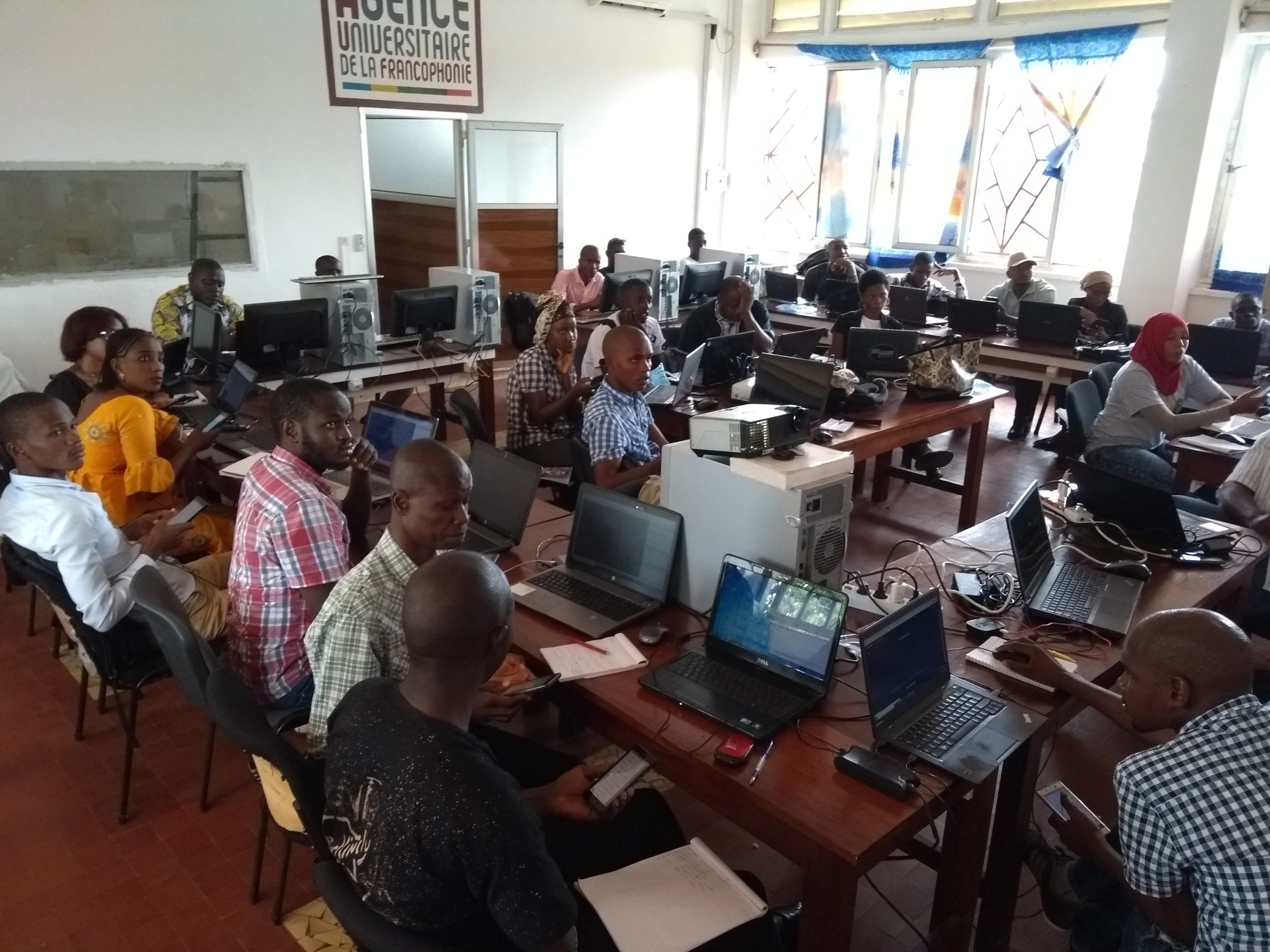
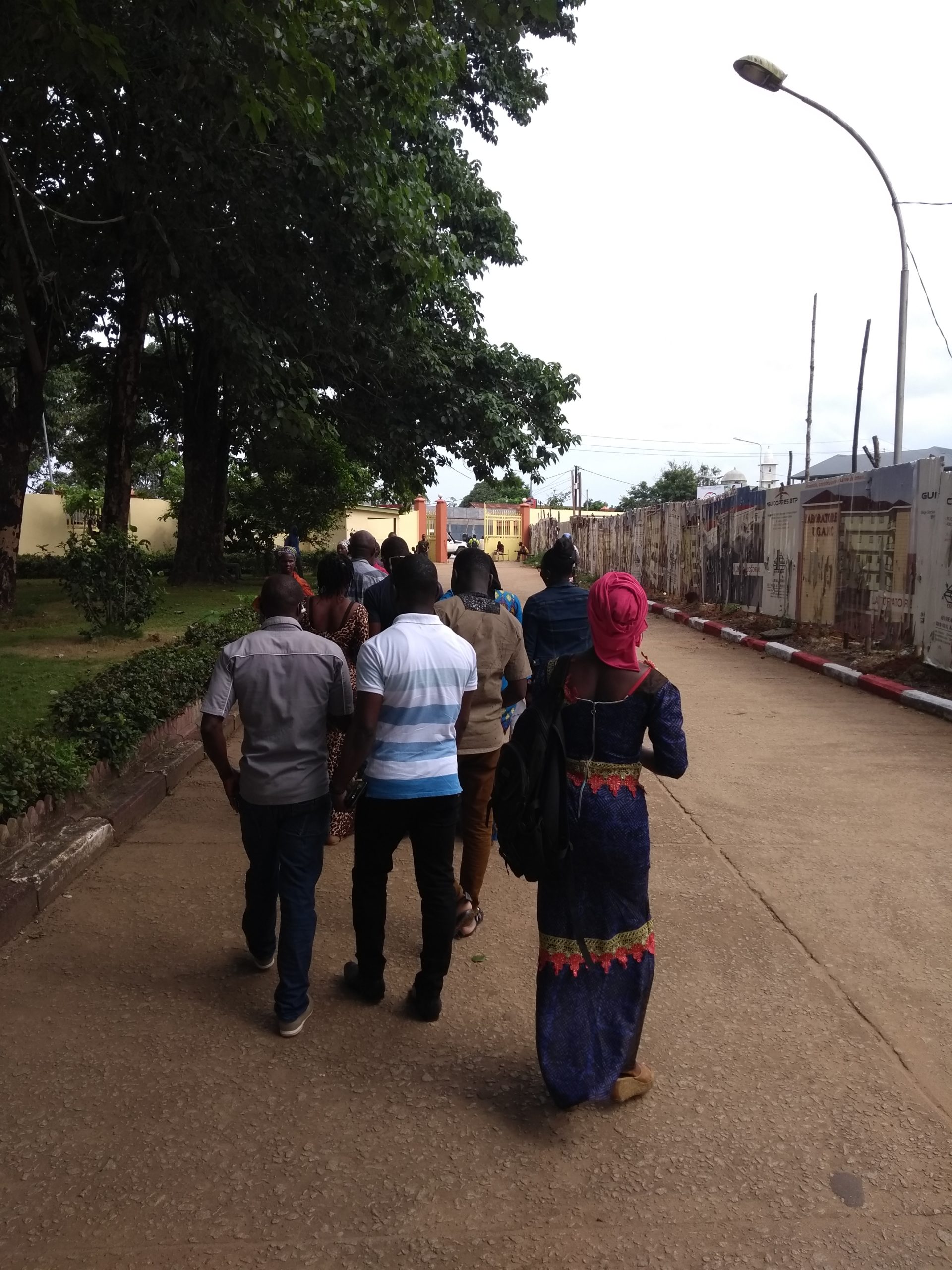
The workshops were attended by 26 participants from the public and private sectors, as well as academia and civil society: geography students from the University of Sonfonia, members of the Guinean Bloggers Association, teachers, researchers, and professionals working in government agencies, local authorities, and private-sector companies. This diversity aims to expand the use of OSM and open data within academic, government, and private-sector organizations.
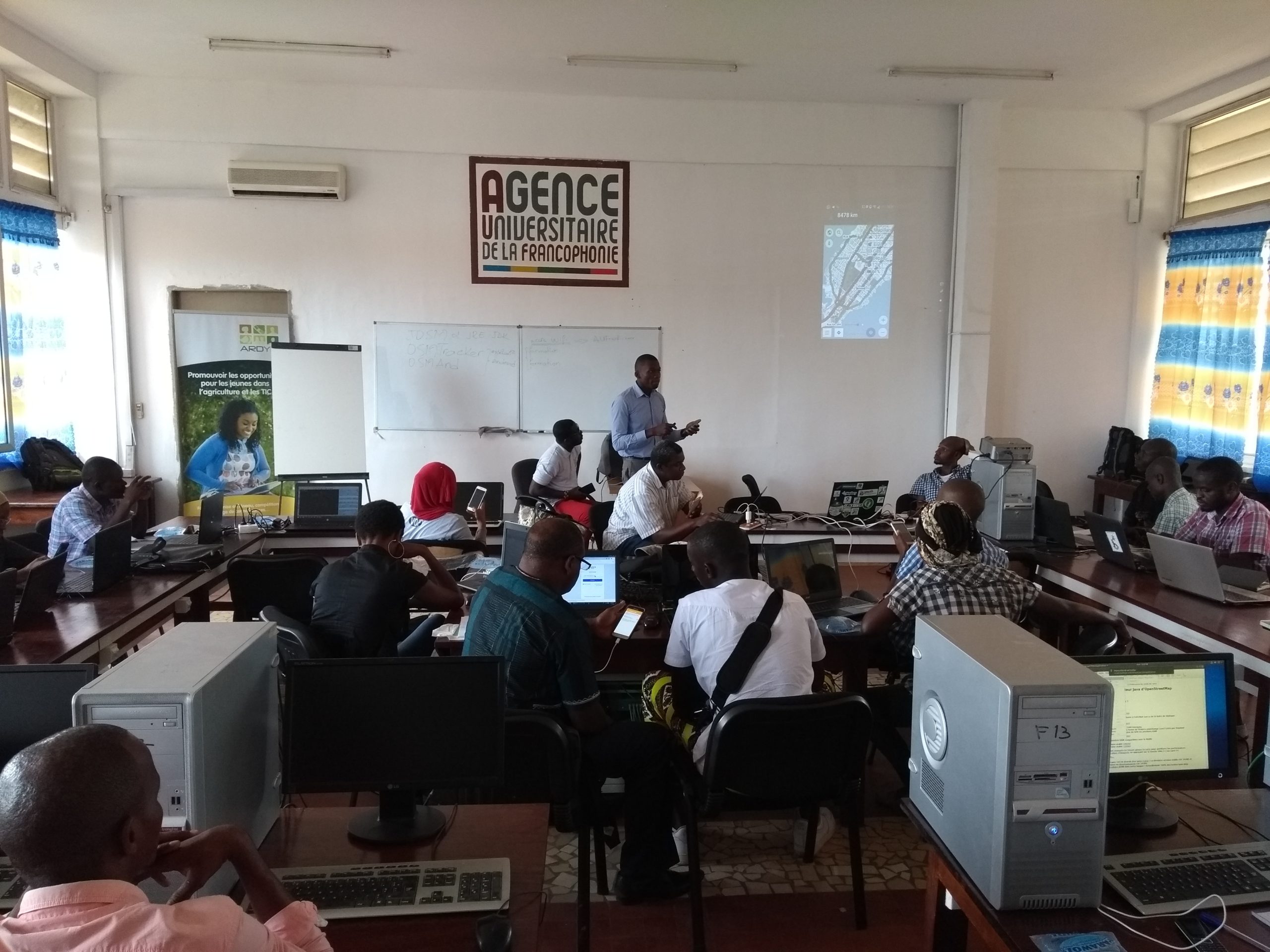
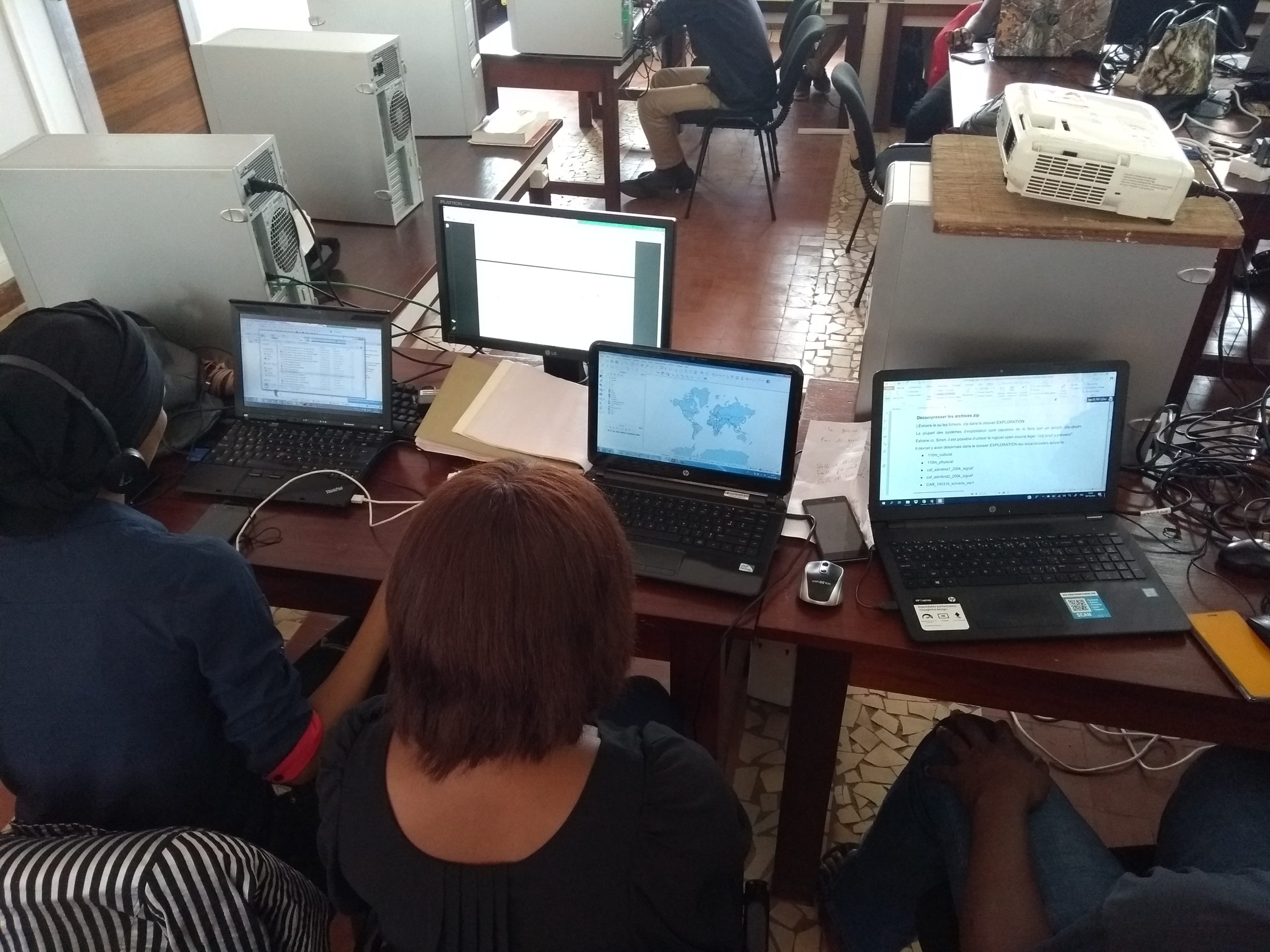
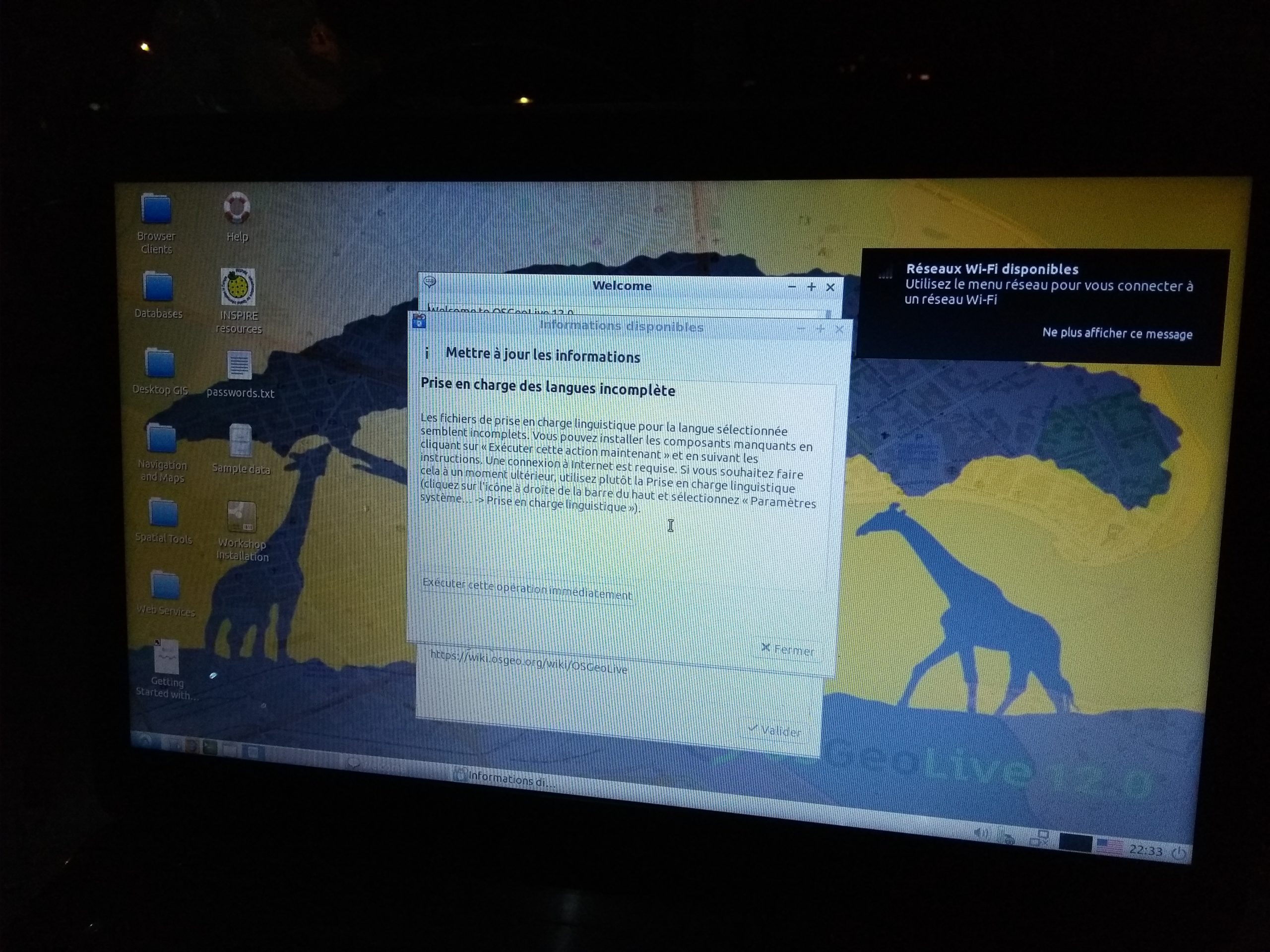
The geomatics training program focused on the creation and reuse of open geographic data from the OpenStreetMap database, enabling participants to master the entire production workflow – from field data collection and digitization of high-resolution satellite imagery to the development of thematic datasets enhanced by display styles in printable maps, the creation of customized and shareable interactive web maps. During this program, participants were also trained in quality control tools and the reuse of OSM data (search, navigation, etc.) in smartphone applications, and were made aware of the importance of Spatial Data Infrastructures for sharing reference datasets that meet the interoperability standards of the OGC (Open Geospatial Consortium).
Training programs involving the production of geographic data in two different regions
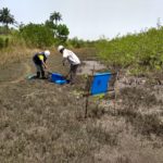
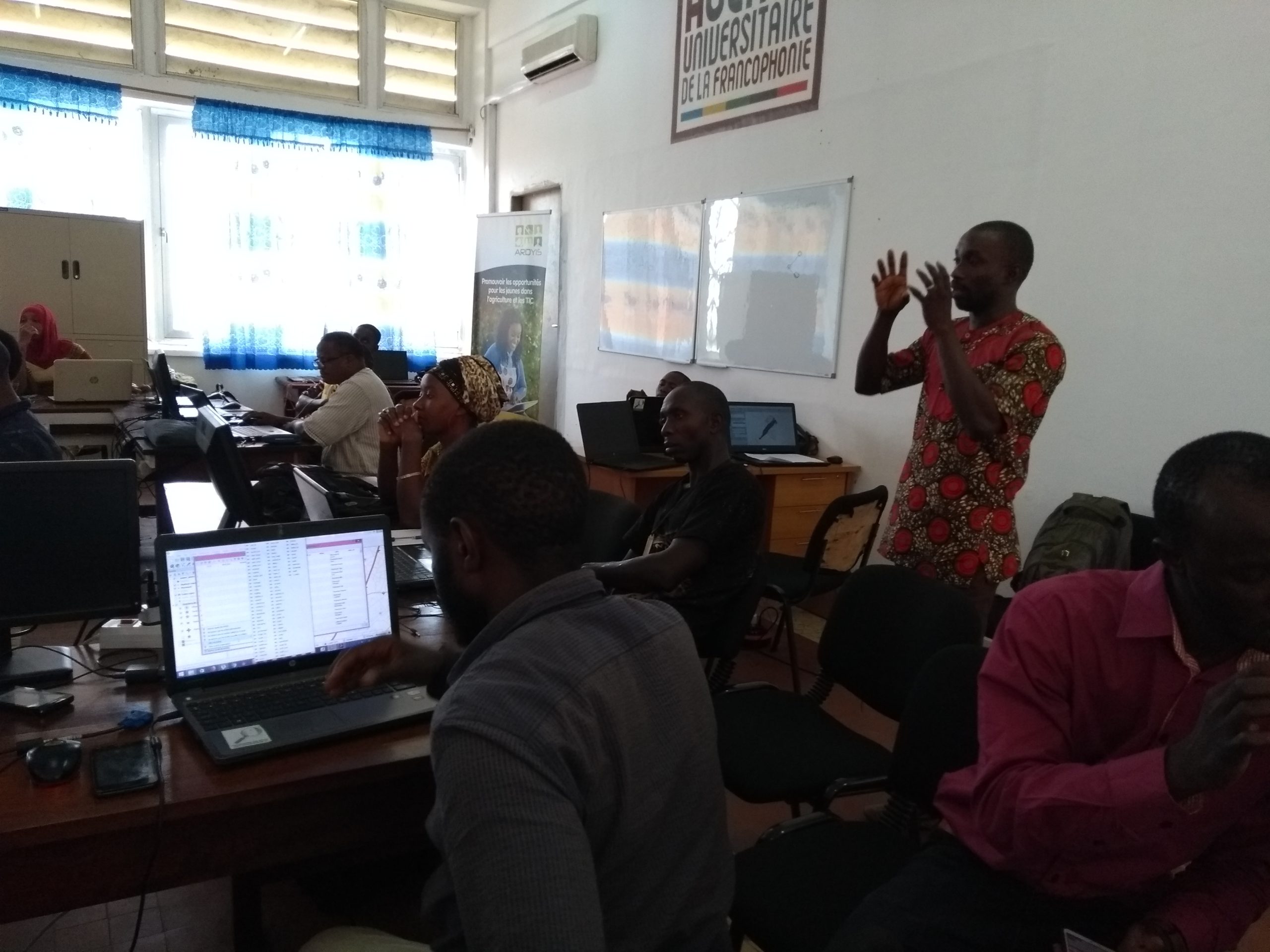
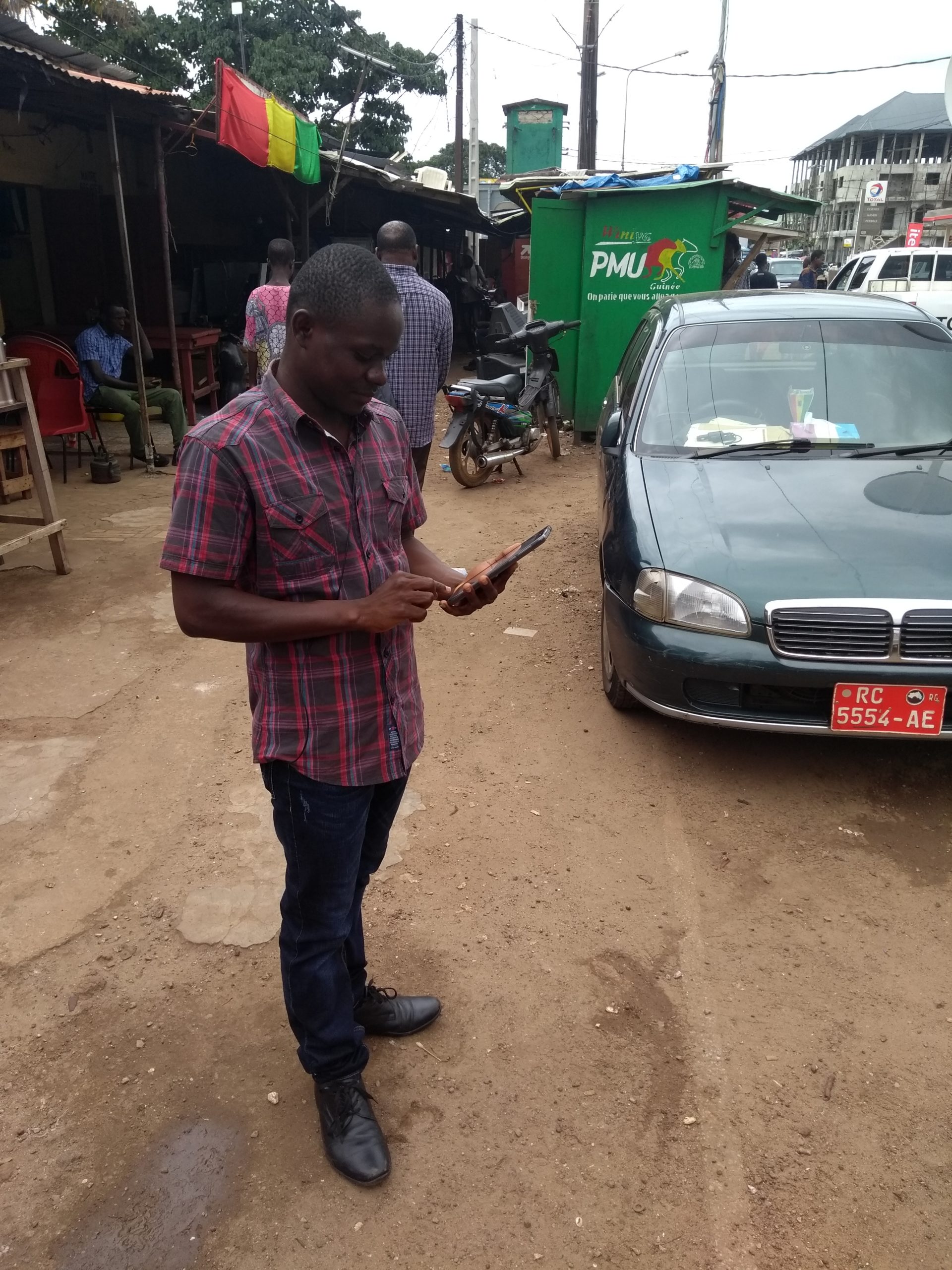
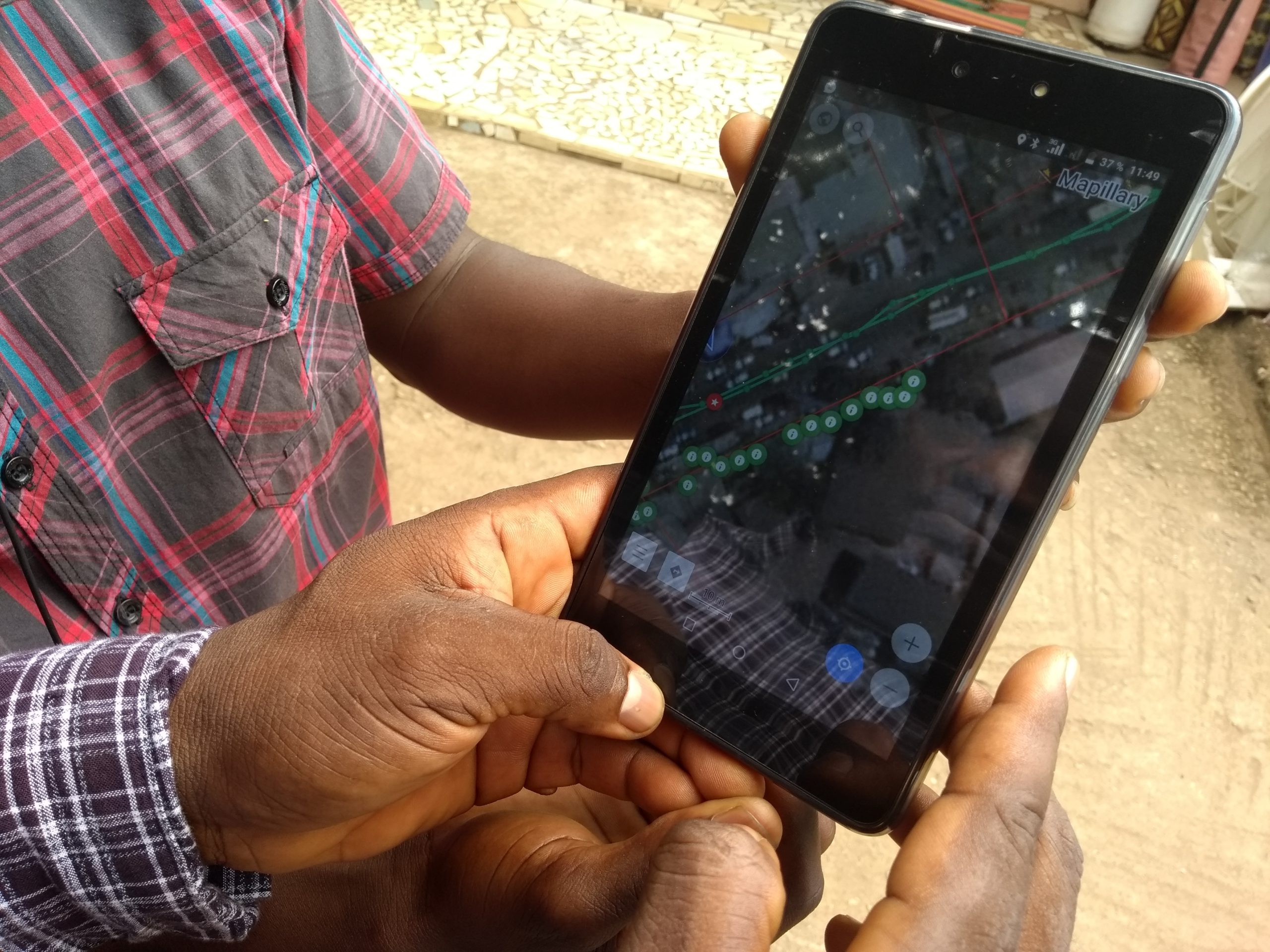
The team of trainers led the training program on the production and reuse of open geographic data by working remotely on the subprefecture of Donghol Touma in Middle Guinea, which had suffered a series of fires last year, and on-site in the Dixinn Terrasse neighborhood near UGANC. These two projects, with their different objectives and contexts (urban/rural), allowed participants to learn various techniques for image-based mapping and data collection. The workflow associated with these real-world cases demonstrated to all participants the full value of contributing to a free digital commons such as OpenStreetMap.
In addition, the week following the conclusion of the workshops, a meeting was held with the dean of Sonfonia University, the university’s secretary general, and the head of the geography department, with the specific aim of having the students who participated in the training conduct presentation sessions at the future geography laboratory and as part of the multidisciplinary master’s program “Space, Time, and Societies, with support from the most experienced members of OSM Guinea.
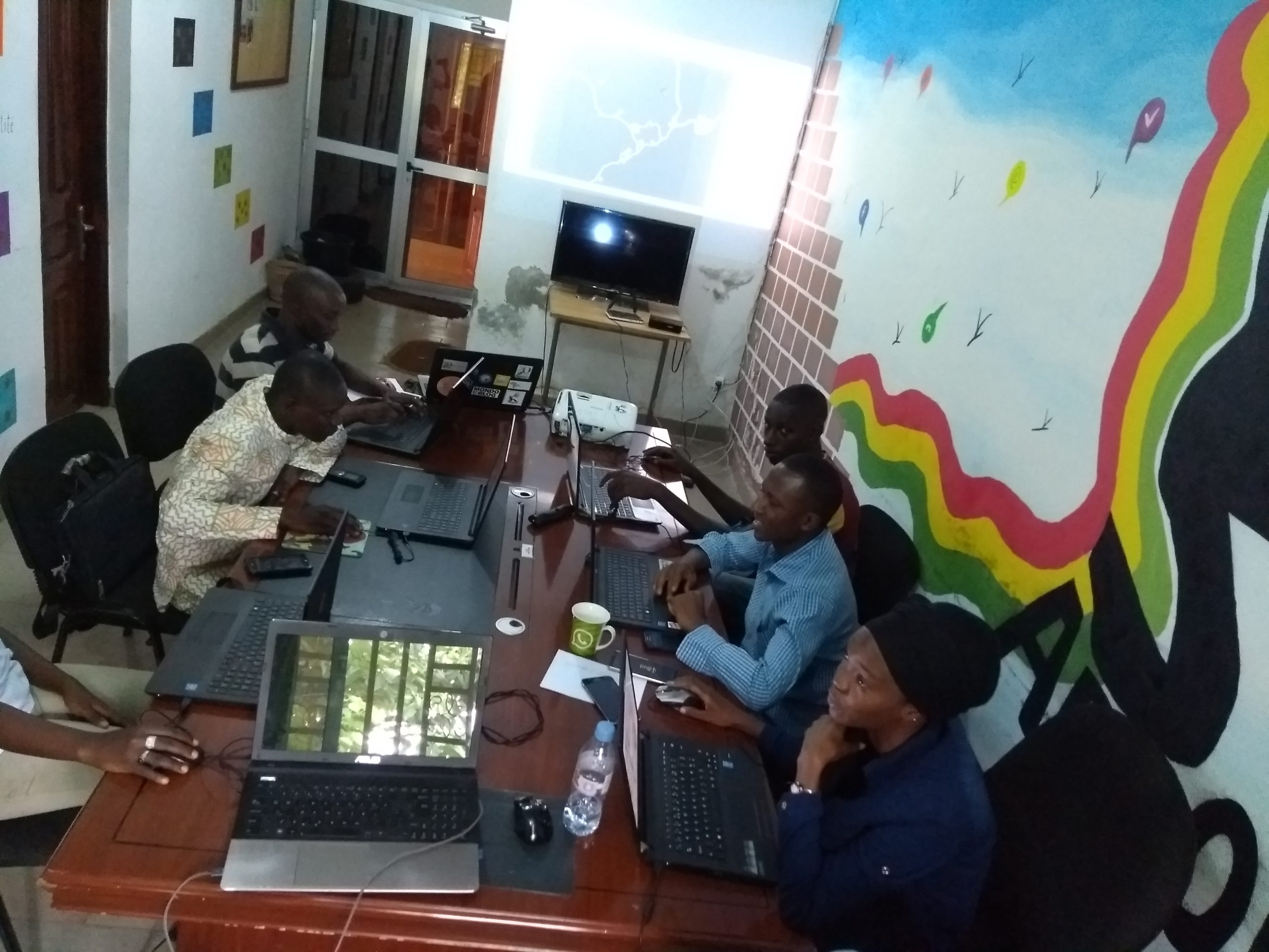
Capacity-building workshops for the training team and members of the OSM community in Guinea
On the sidelines of the workshops – in the evenings or during the following week, during which the senior expert voluntarily remained in Conakry – internal training sessions were also conducted on the following topics:
-
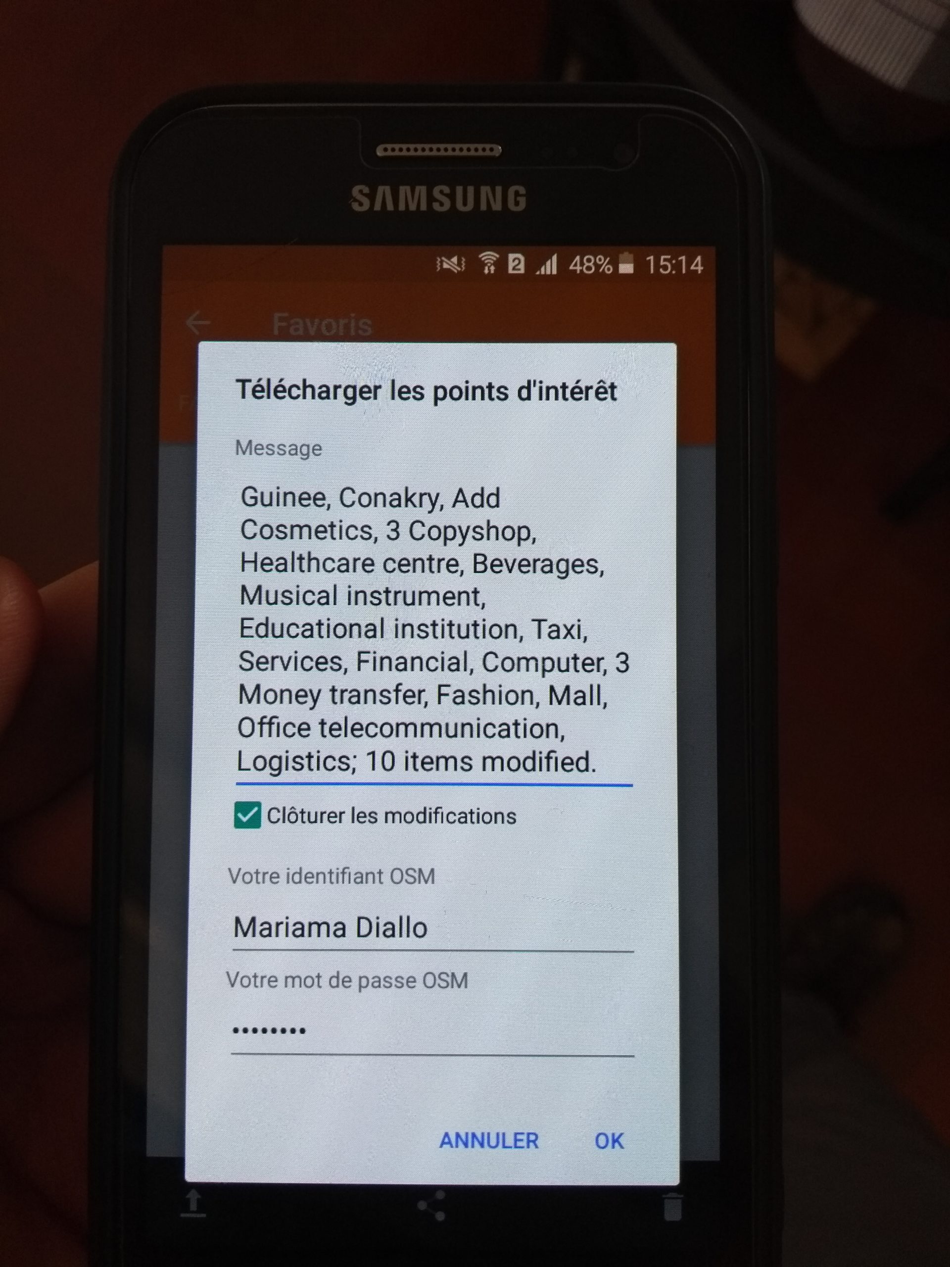
Steps in the process of importing data into OSM, using a recent dataset on private biomedical services in Conakry as an example;
-
Introduction to MapContrib, a customizable OSM point-of-interest editor where the attributes to be filled in can be customized;
-
the concept of OSM relations, particularly those related to public transit lines;
-
creation of the first bus line in OSM for Conakry (viewable at this uMap) using data collected one evening by Guinean experts from the training team;
-
contribution of an article to the hebdoOSM newsletter as a guest contributor
Organization of a CarteInnov workshop
During his third week in Conakry, the LLg expert assisted the project’s local coordinators in organizing a second CarteInnov workshop in Guinea at the offices of Jatrophahub, an NGO affiliated with several national and international networks of incubators, accelerators, and Fablabs. This workshop allowed the fifteen or so representatives from various ministries (Higher Education and Research, Investments and Public-Private Partnerships, Environment), digital organizations, and Guinean NGOs in attendance to learn about the project, its open-source approach, the data it already contains, and ways to make use of it.
Deuxième atelier à #Conakry en 2018 sur #CarteInnov par @big_hamda à #JatrophaHub : carte #opendata des acteurs de l'innovation numérique #francophonie #LesLibresGeographes hébergée dans #OSM, contribution avec #MapContrib https://t.co/wdWPQbzrBo pic.twitter.com/5AERjdmnTv
— SeverinGeo (@SeverinGeo) October 19, 2018
The text has been translated from French by DeepL.com (free version).
Location