Free Digital Mapping and Geomatics Workshops in Dakar
April 2018
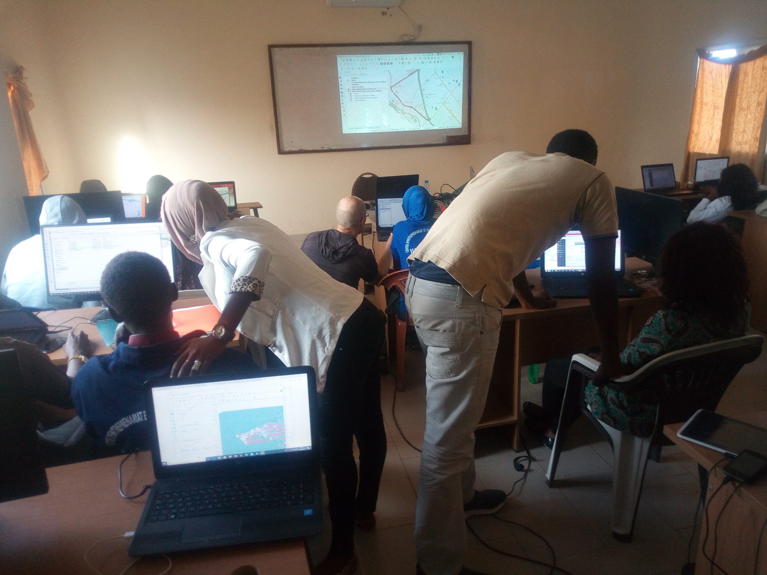


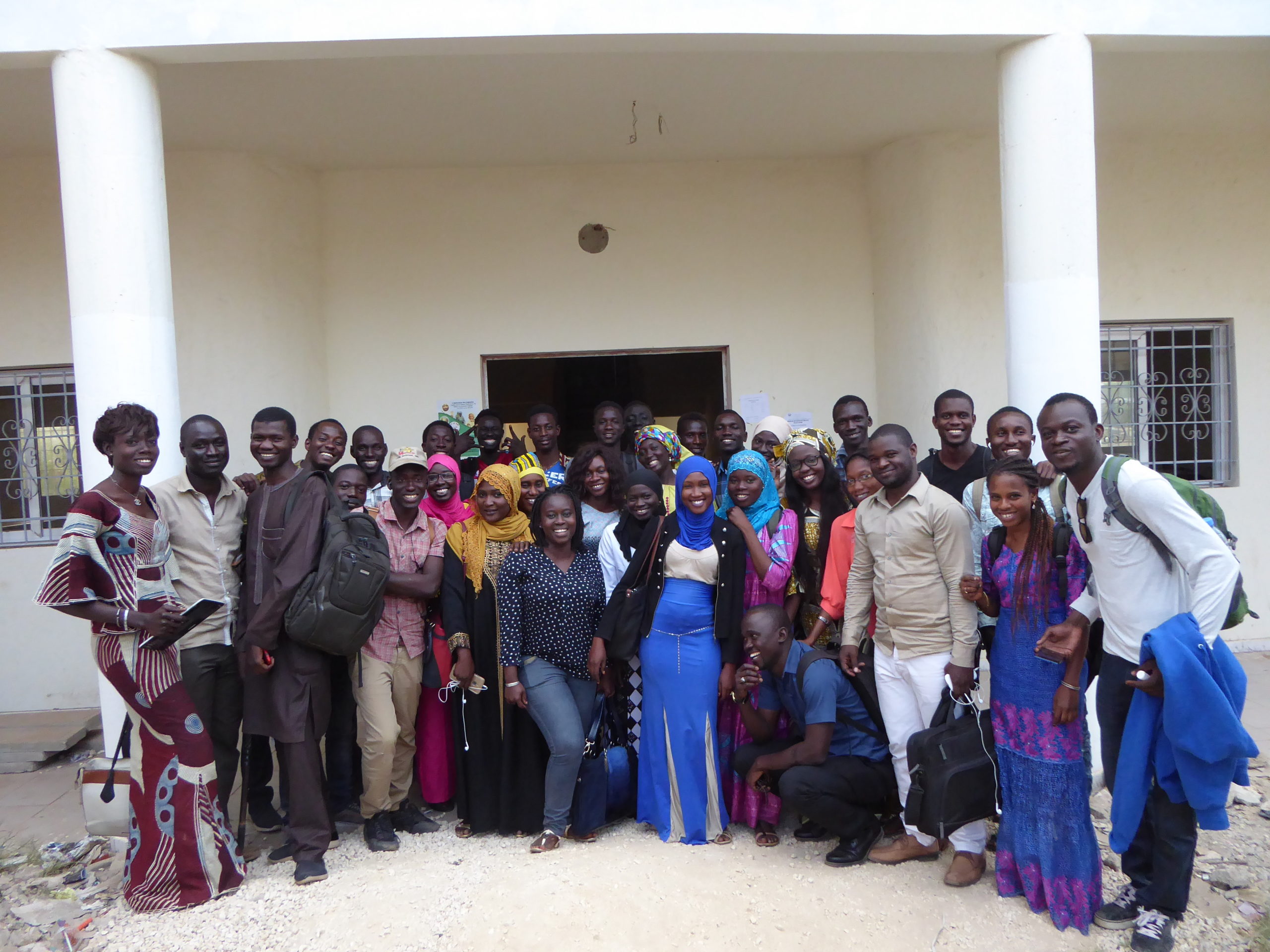
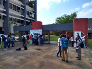
From April 16 to 27, 2018, in Dakar, Senegal, the Department for Economic and Digital Francophonie (DFEN) of the International Organisation of La Francophonie (OIF) brought together two experts (from Benin and France), including a coordinator from Libres Géographes, to organize awareness-raising and training workshops on open-source digital mapping (OpenStreetMap) and open-source Geomatics (QGIS and geOrchestra).
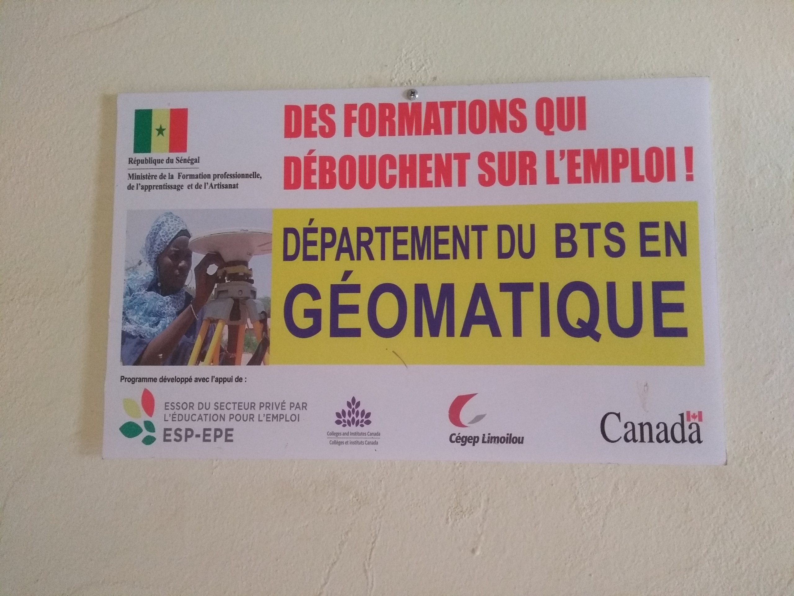
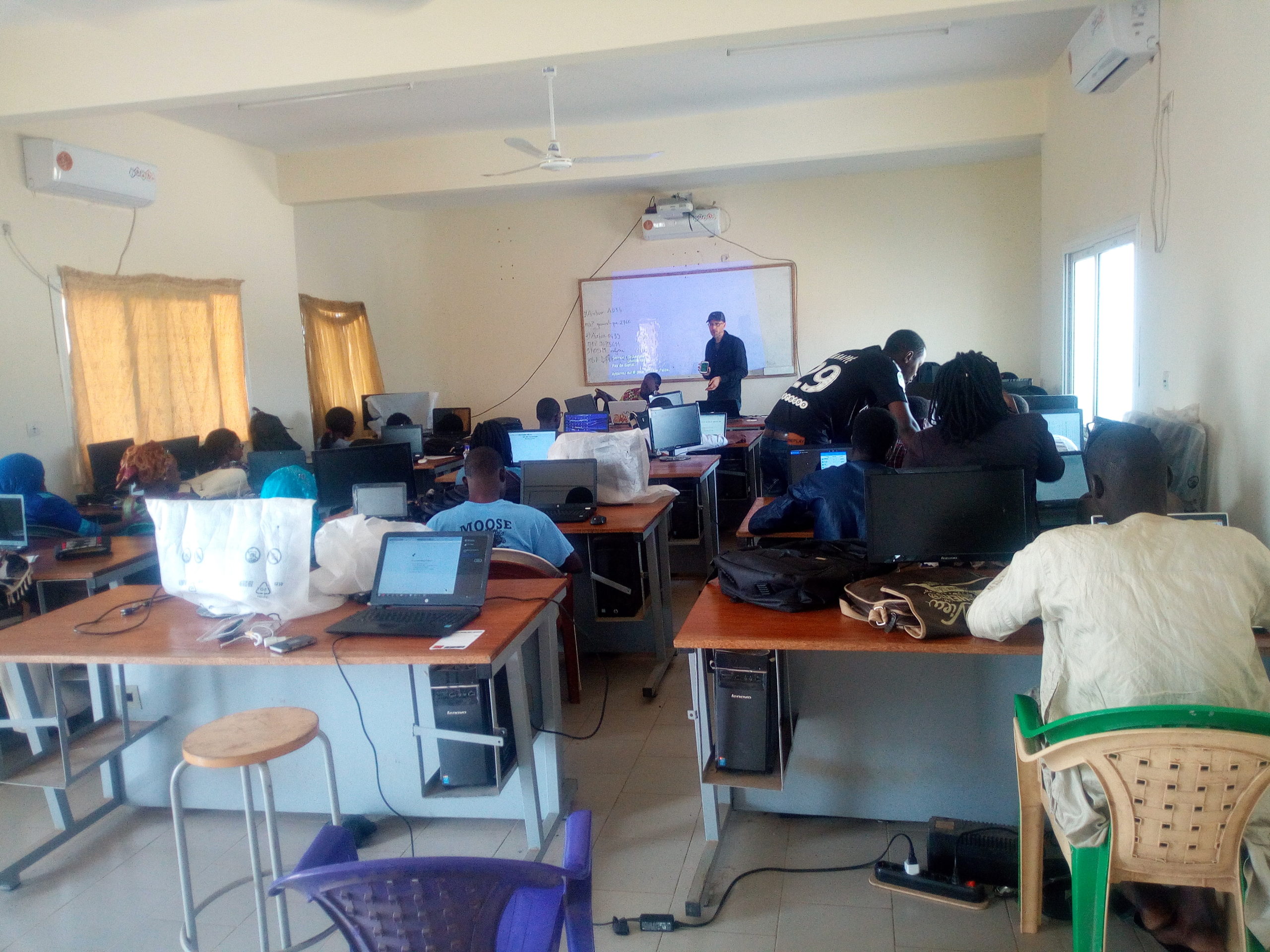
An academic workshop for young, first-year Geomatics students
At CEDT-G15, since the start of the last school year, the new cohort of the BTS in Geomatics now comprises two classes: one for recent high school graduates (Geom 1AB) and the other for individuals changing career paths who are already trained in another field (Geom 1C). These two classes, with 23 and 24 participants respectively, were made available by the head of the Geomatics Department over ten half-days, which were set aside in their schedules for project management.
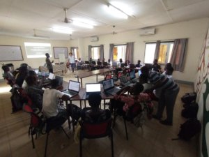
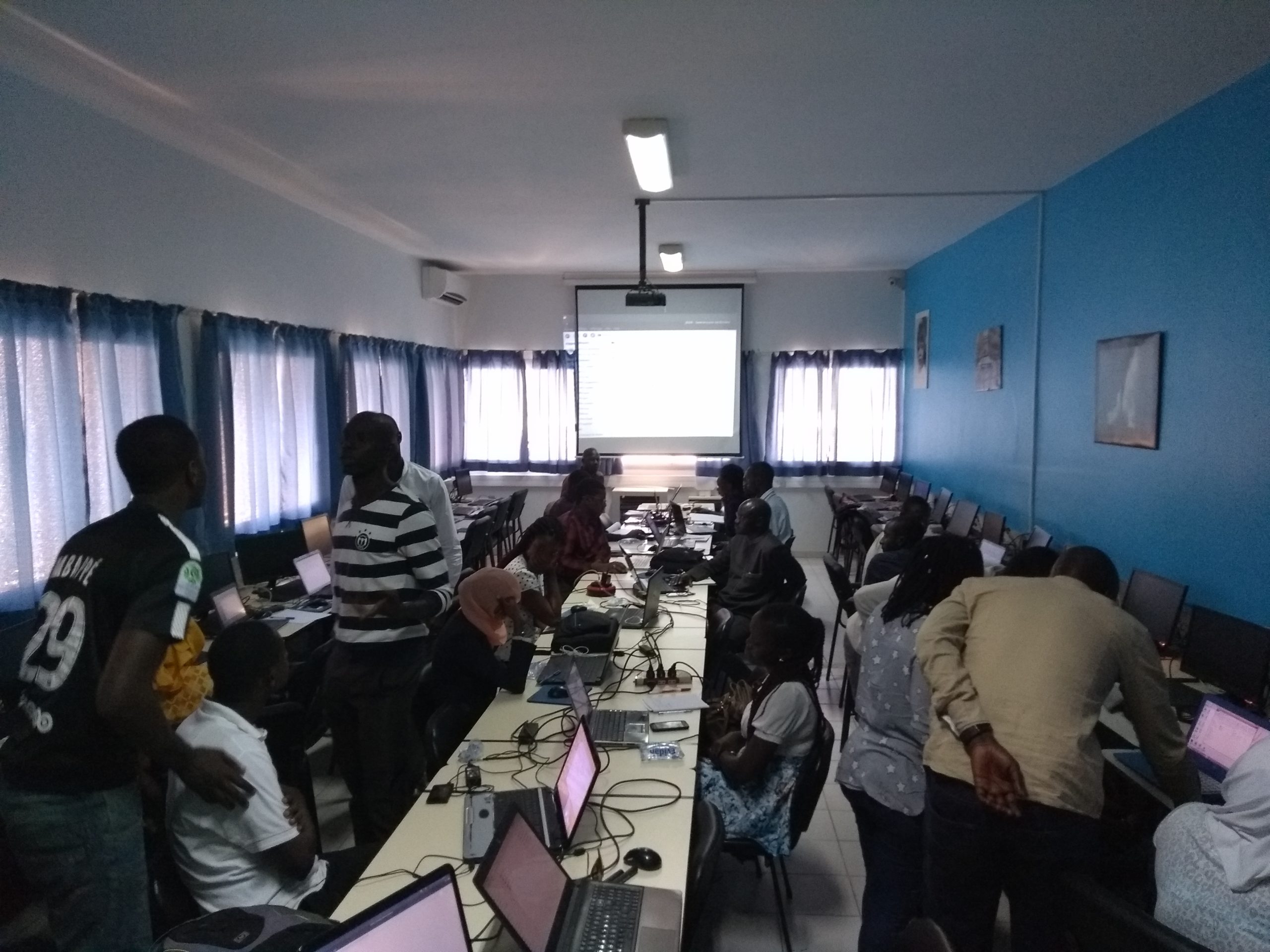
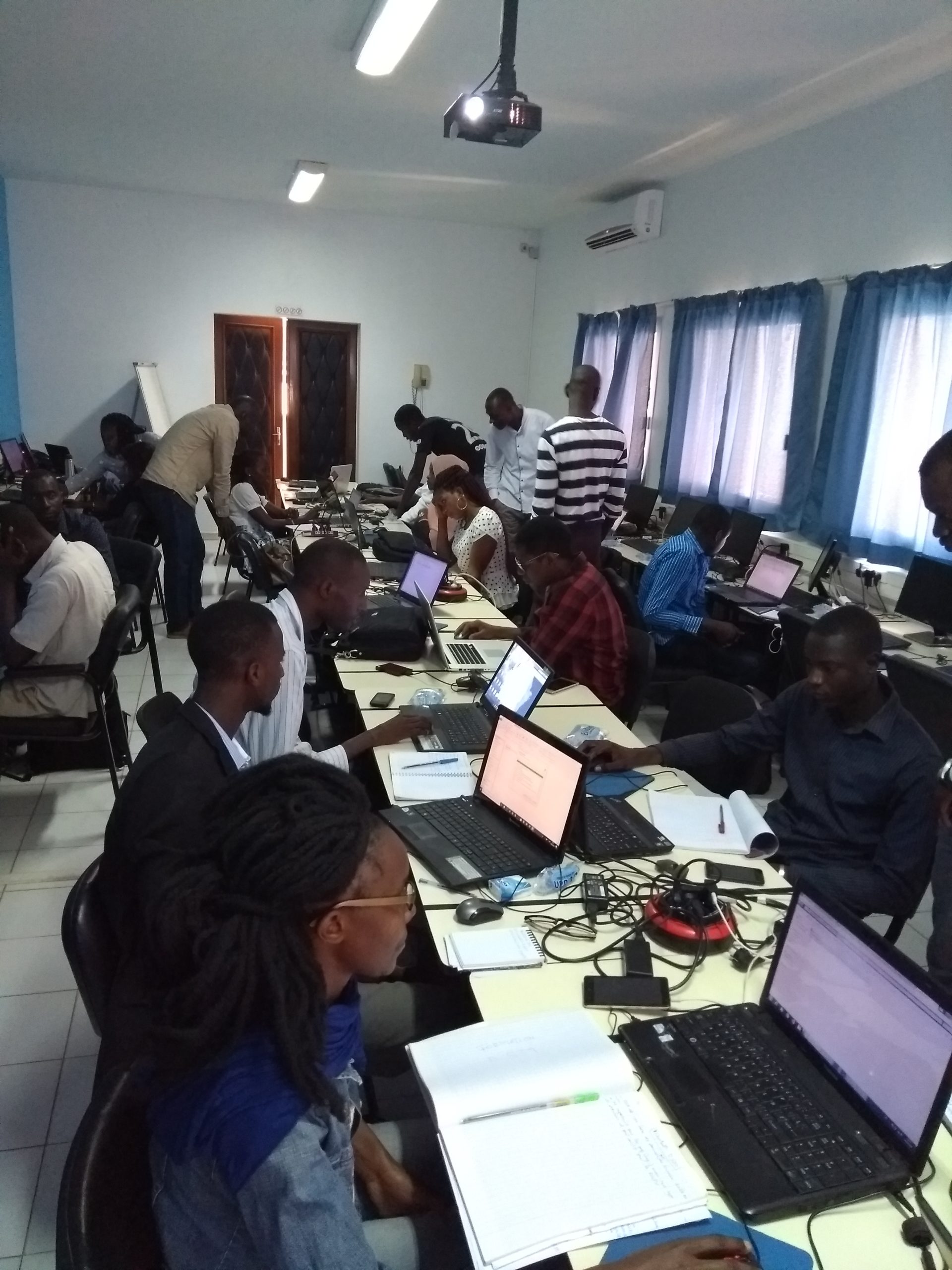
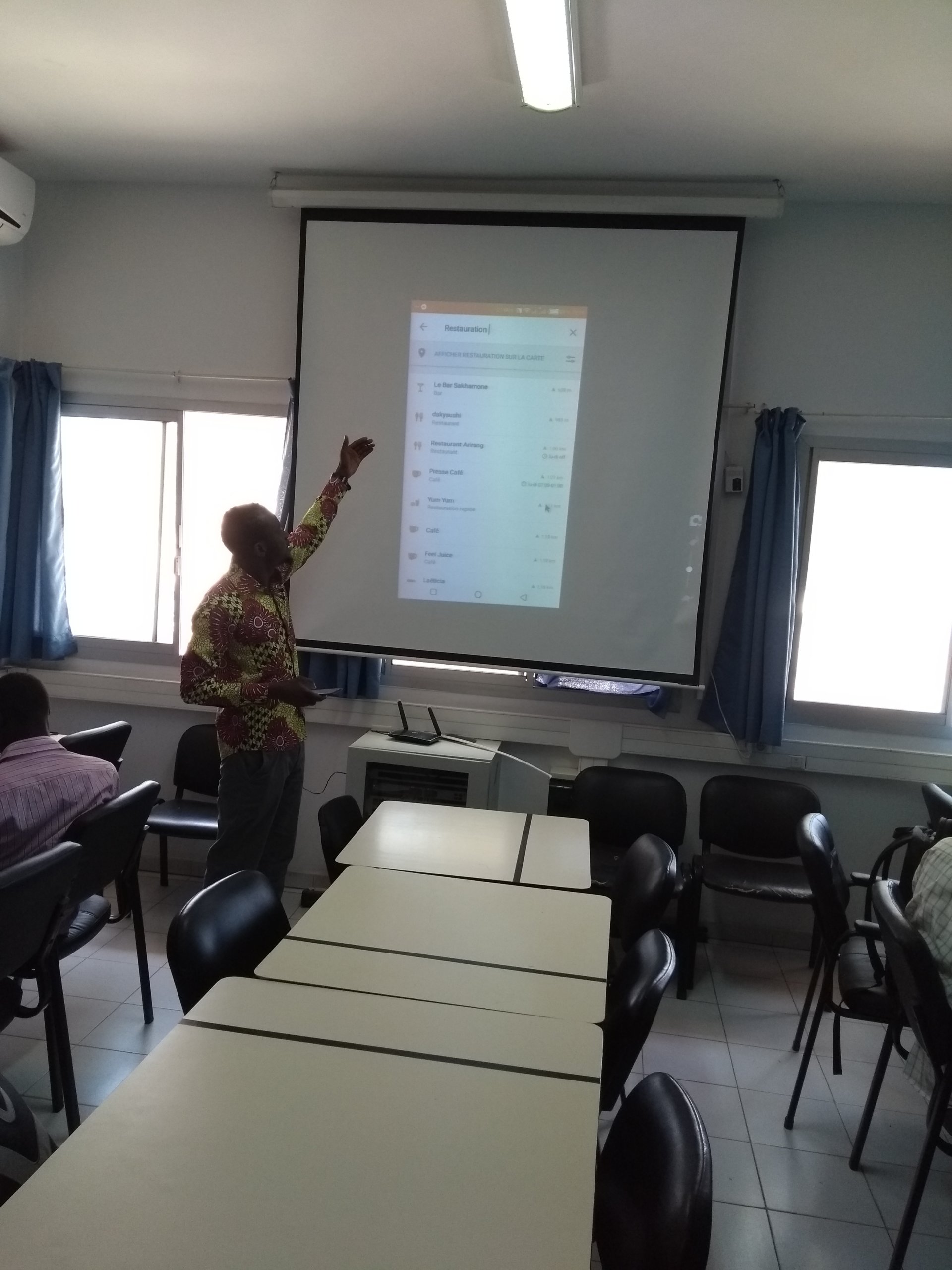
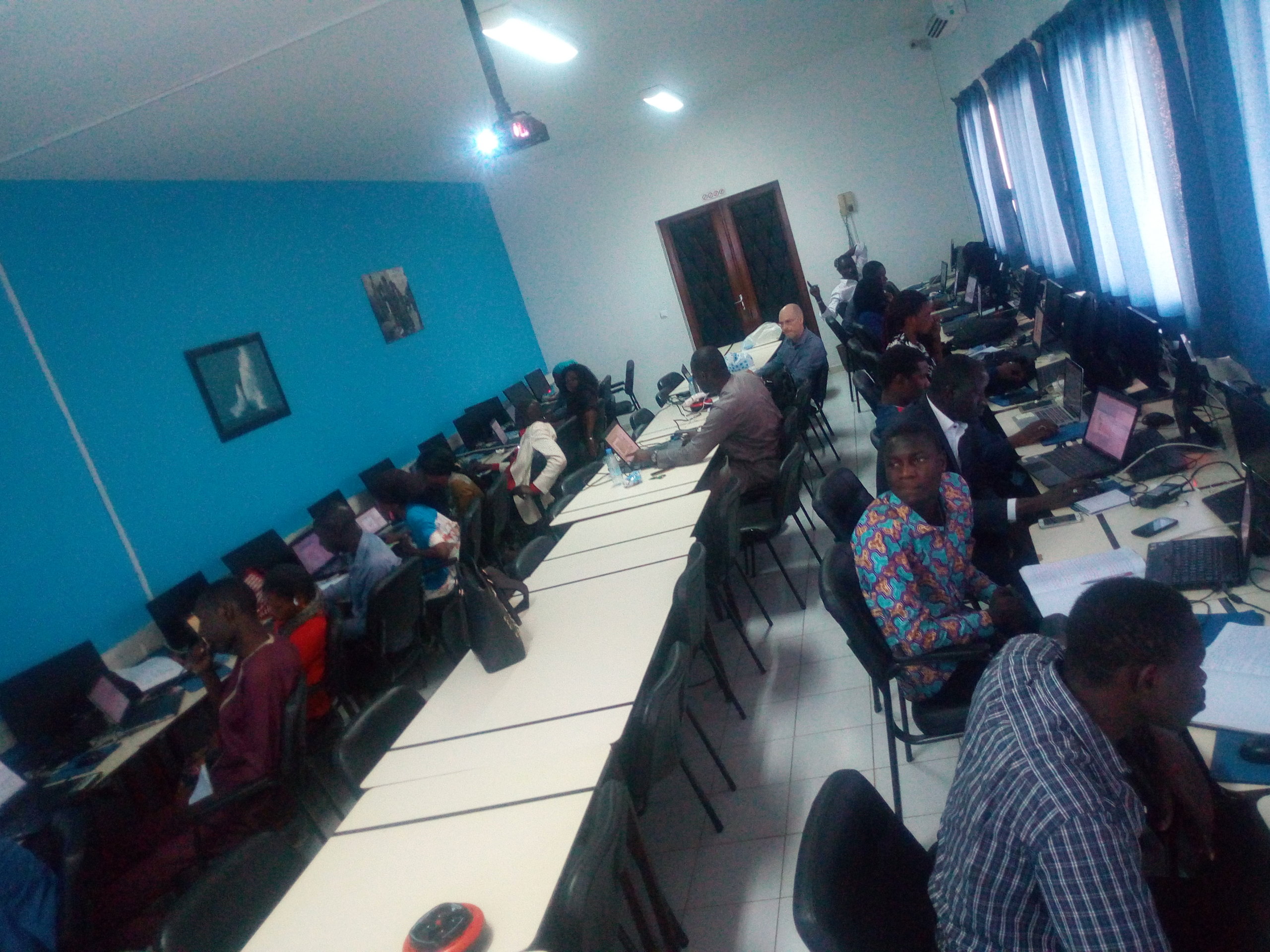
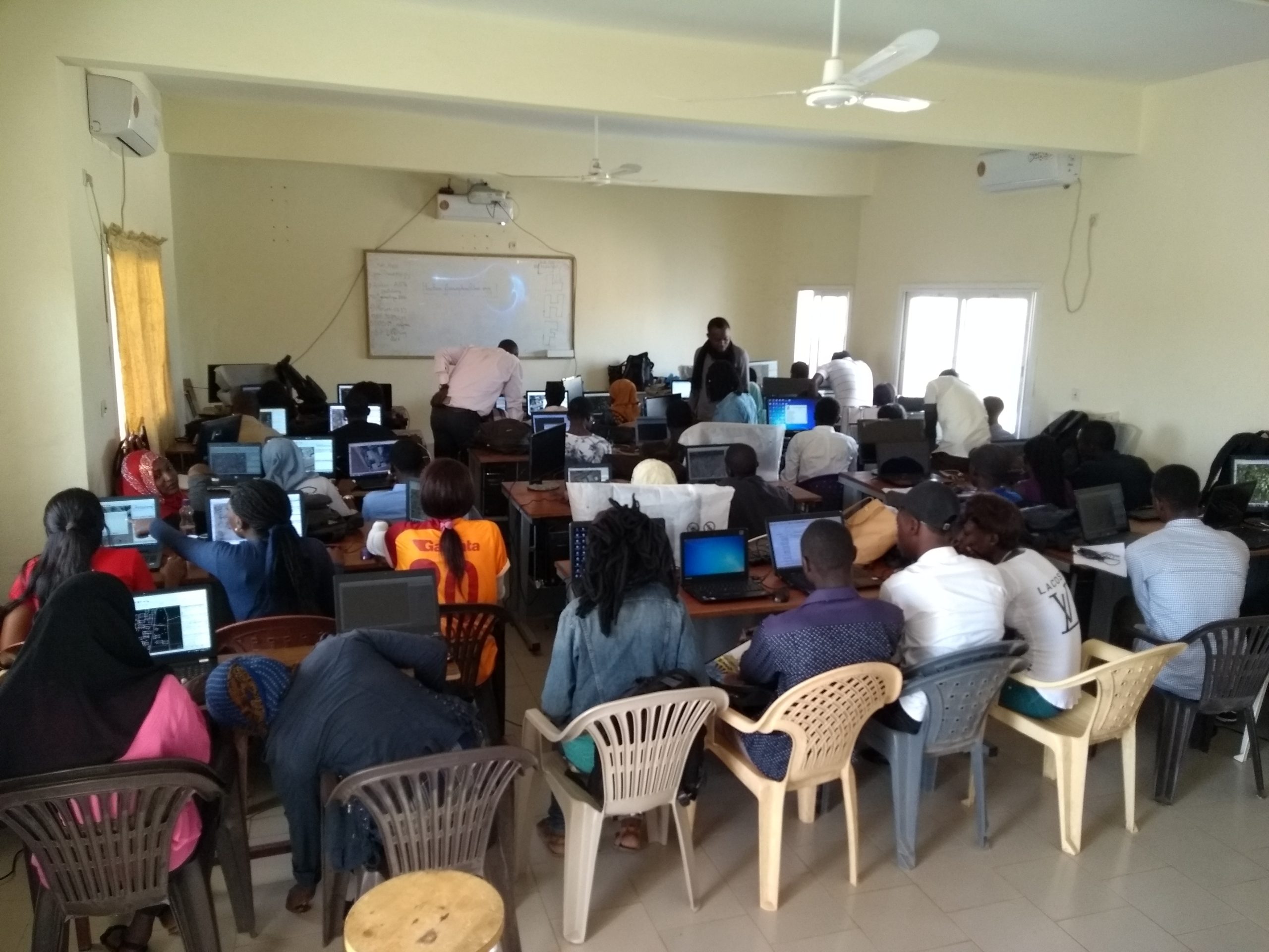
A workshop for professionals, doctoral students, and undergraduates
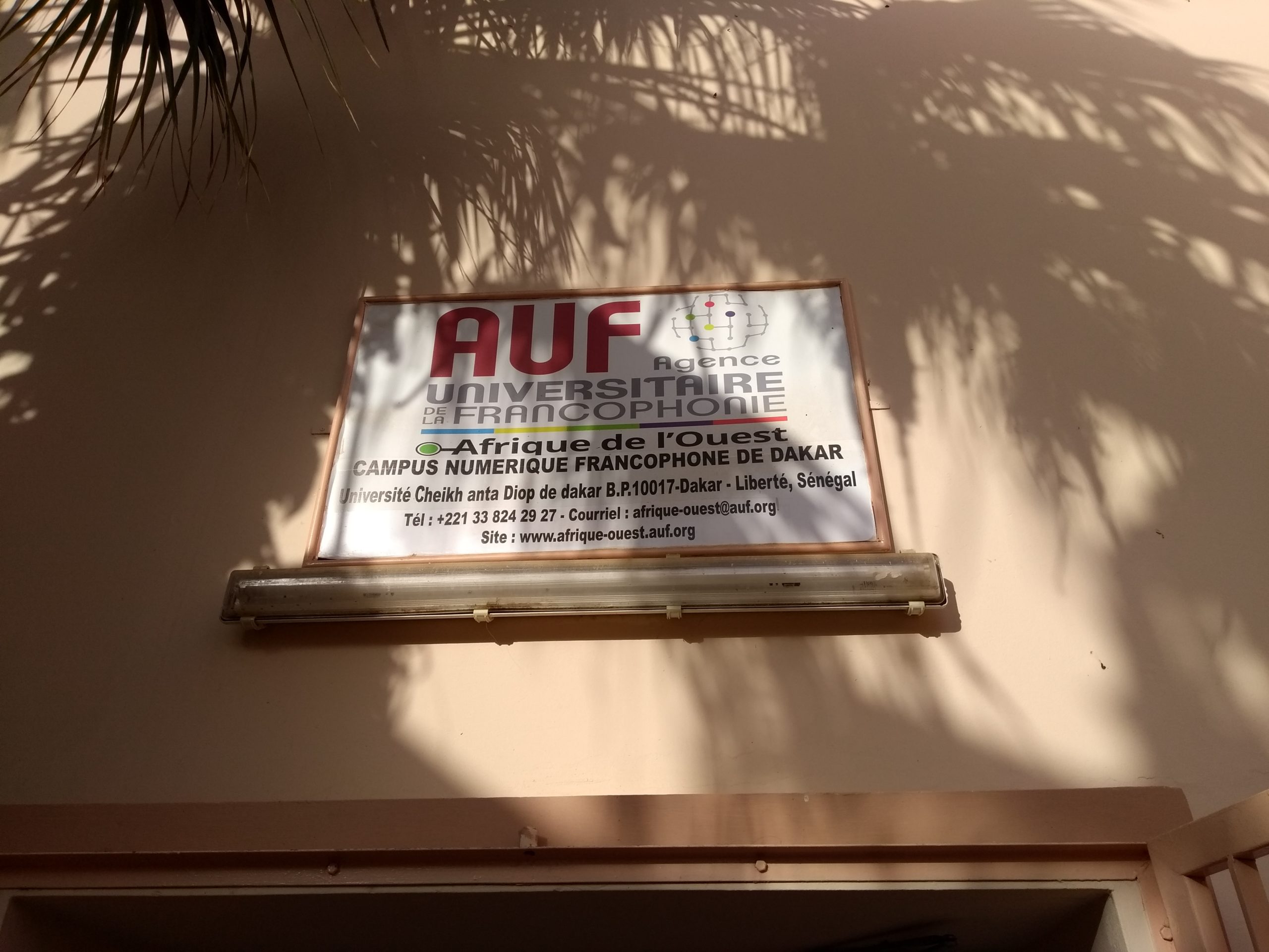
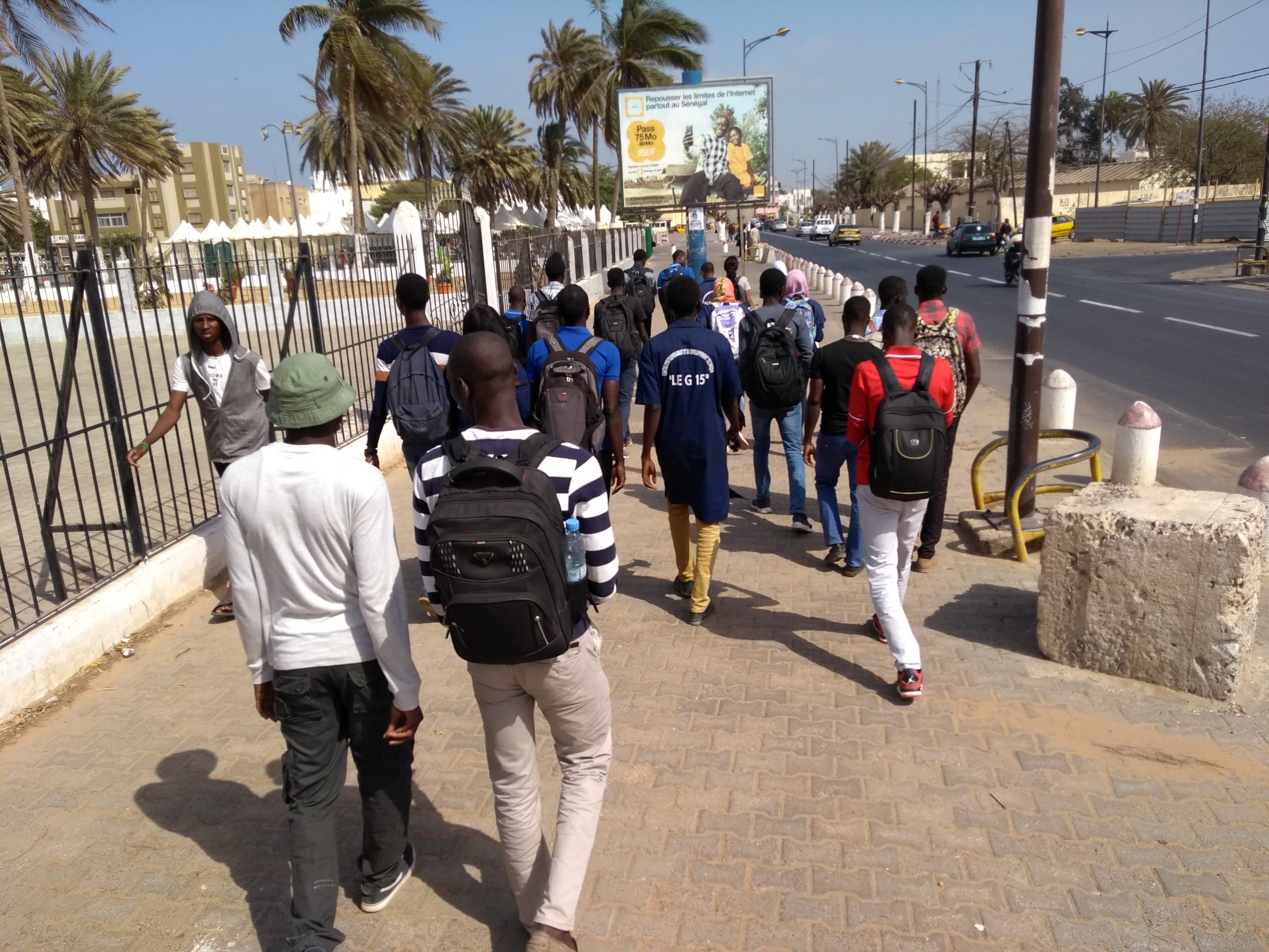
At CNEUF, the group of 17 participants consists of individuals who applied via an online form posted on the OSM discussion list dedicated to Senegal (talk-sn), which proved very popular, attracting more than 150 applications. The selection process resulted in the inclusion of people from diverse backgrounds: Geomatics professionals and representatives from the Association of Geomatics Professionals in Senegal (ASPG), government agencies, the media, organizations involved in local development, doctoral students in health geography at UCAD, and Geomatics students from private schools who had not previously been introduced to OpenStreetMap.
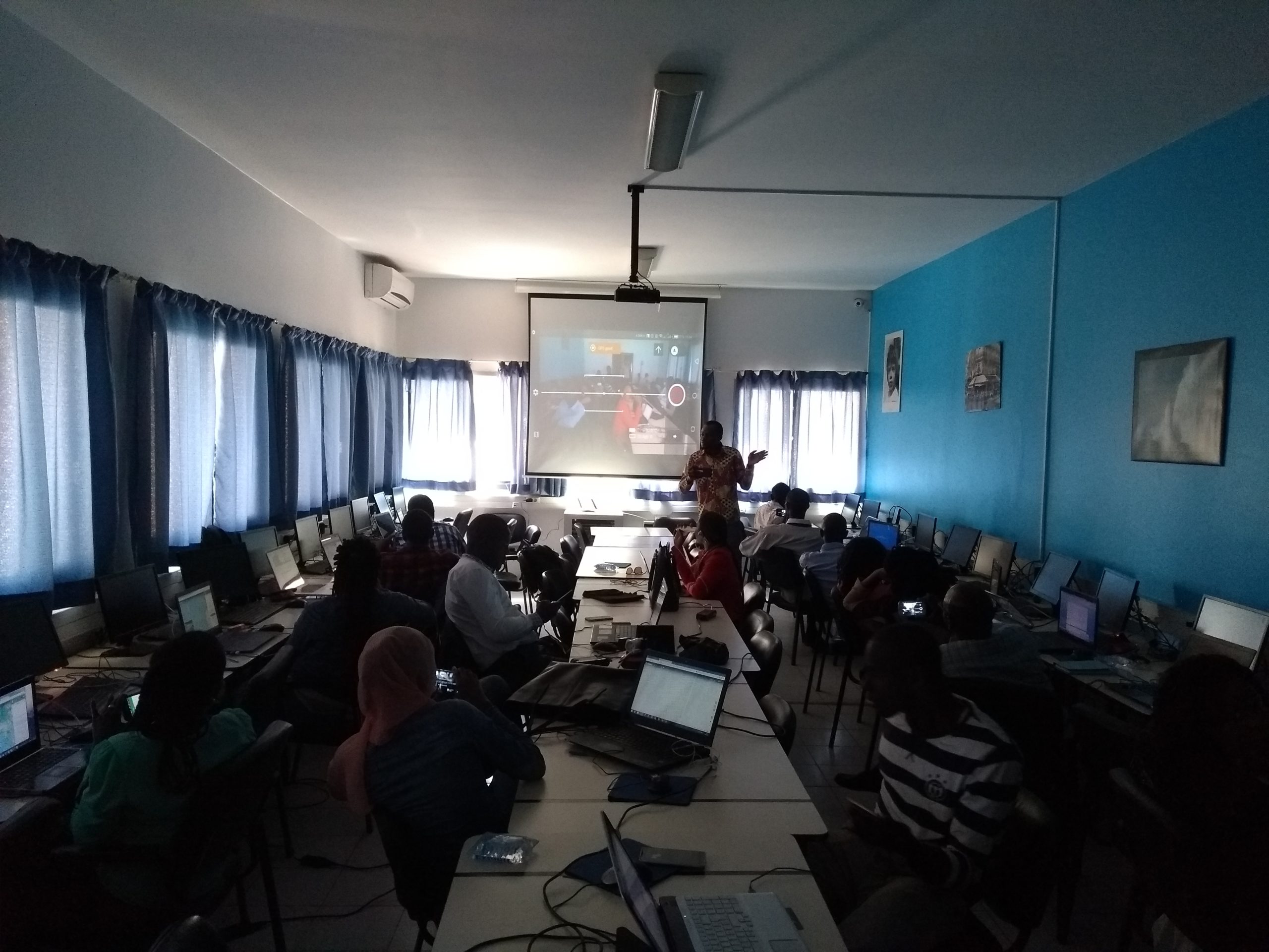
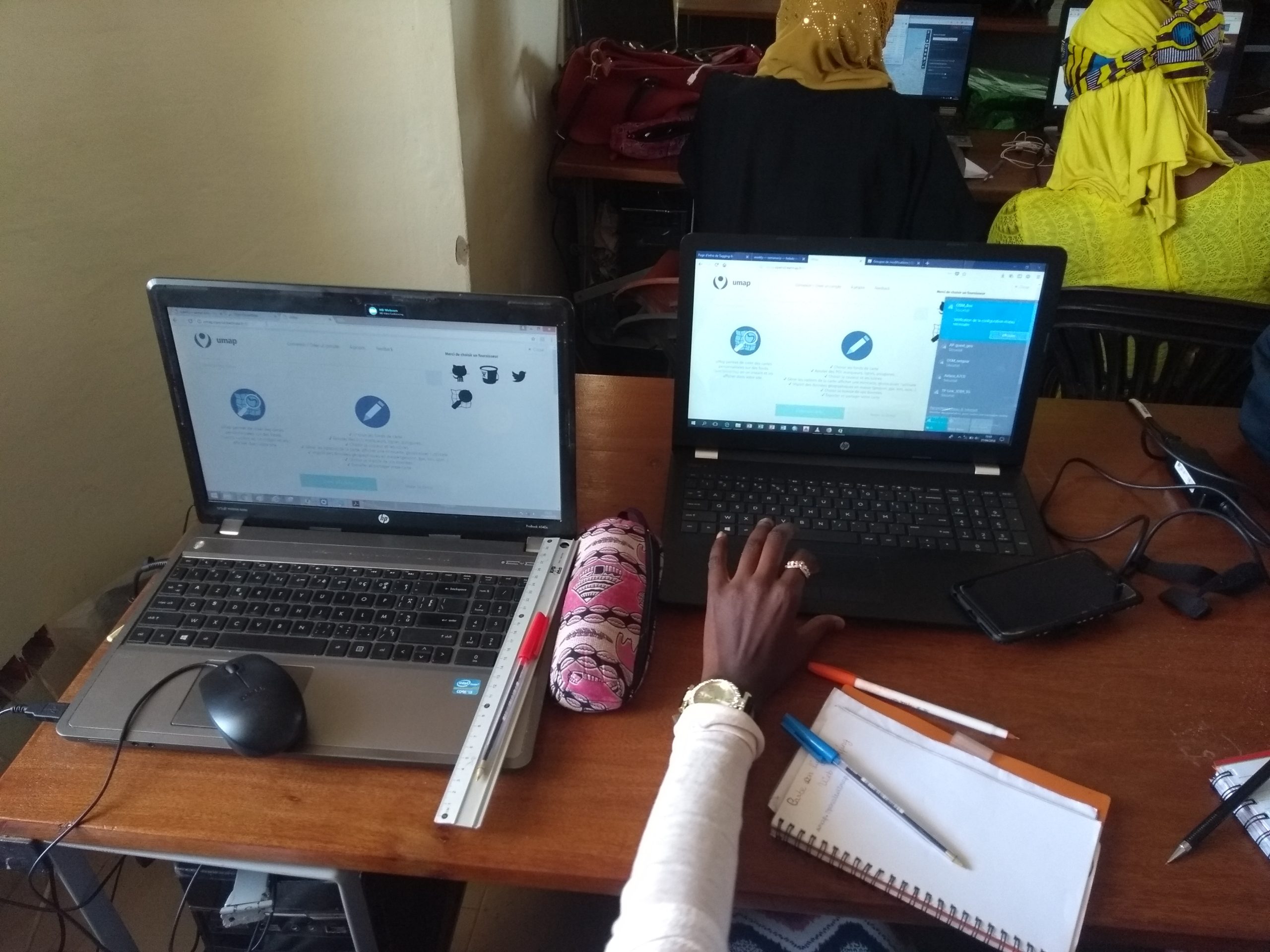
A crash course on using OSM for humanitarian Geomatics professionals
In addition to the two main workshops, a one-day accelerated workshop with content specifically focused on OpenStreetMap and the humanitarian response was held at the World Health Organization (WHO) offices in Dakar for three members of the Geomatics working group of humanitarian actors in Senegal, following an initial joint day with the CNEUF group. Topics covered included how to interact with volunteer communities as well as tools for reusing OpenStreetMap data, including the creation of impact maps and contingency plans using the InaSAFE extension for QGIS.
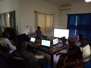
Internal workshops to strengthen the Senegalese members of the training team
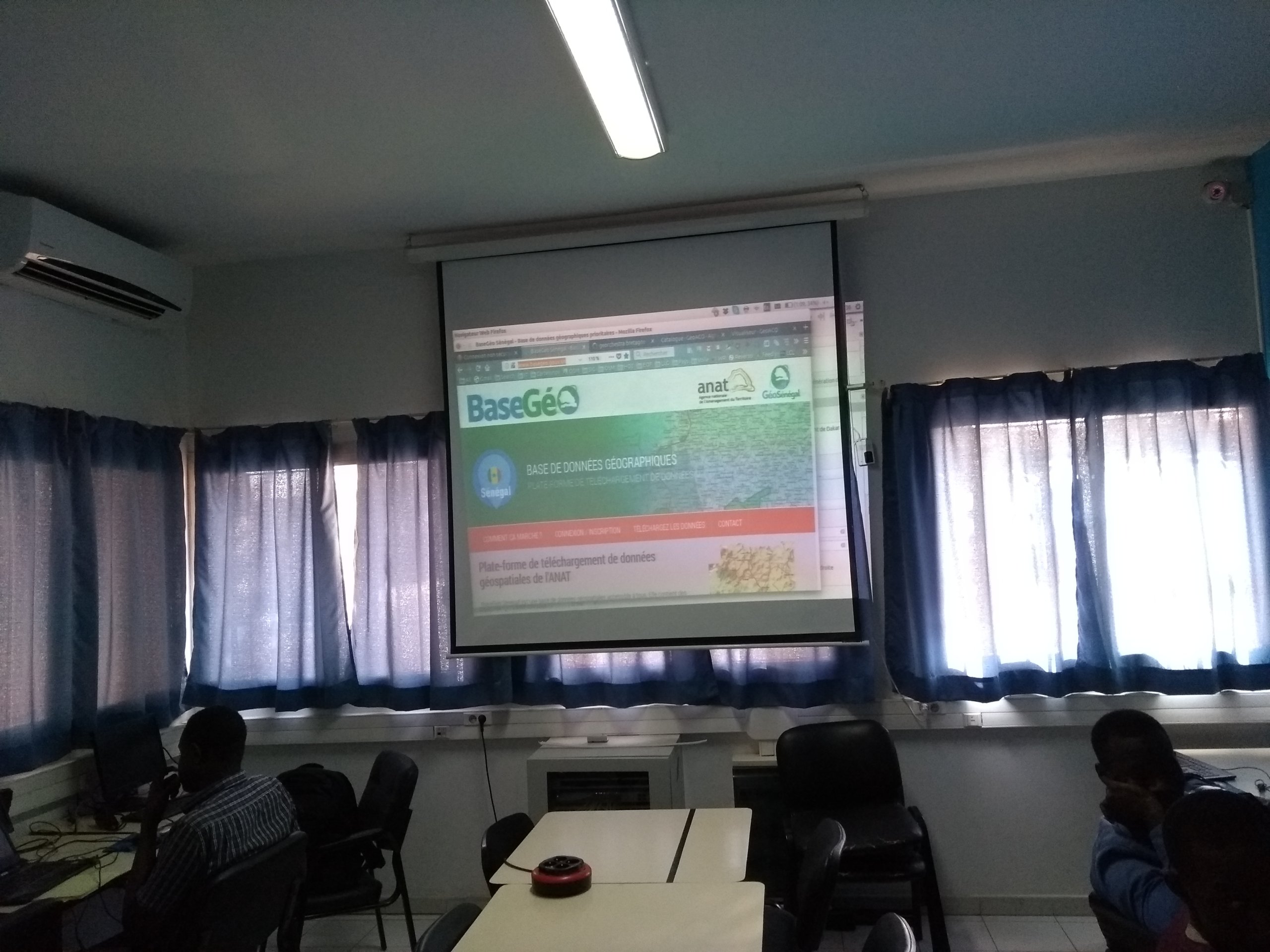
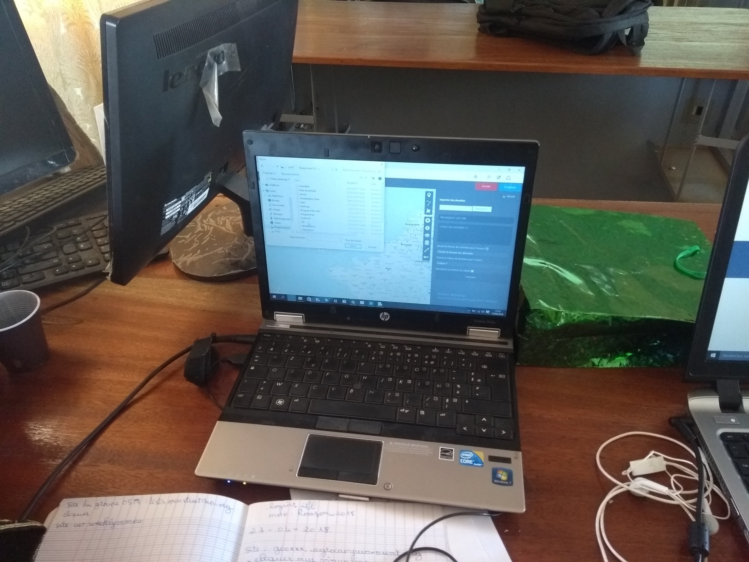
The two experts mobilized by OIF-DFEN to carry out this initiative were assisted by four individuals actively involved in leading the OSM project in Senegal. These individuals were welcomed as paid volunteers and were able to share living quarters in guest rooms at the Collège Sacré-Cœur in the center of the Senegalese capital. In addition to the scheduled workshops, these volunteers were able to benefit from in-house training on certain recent or complex tools within the OSM ecosystem, such as geOrchestra or MapContrib—the latter being used in particular as an editor in the CarteInnov map of digital innovation hubs by the Finnov Network, an initiative supported by the OIF-DFEN.
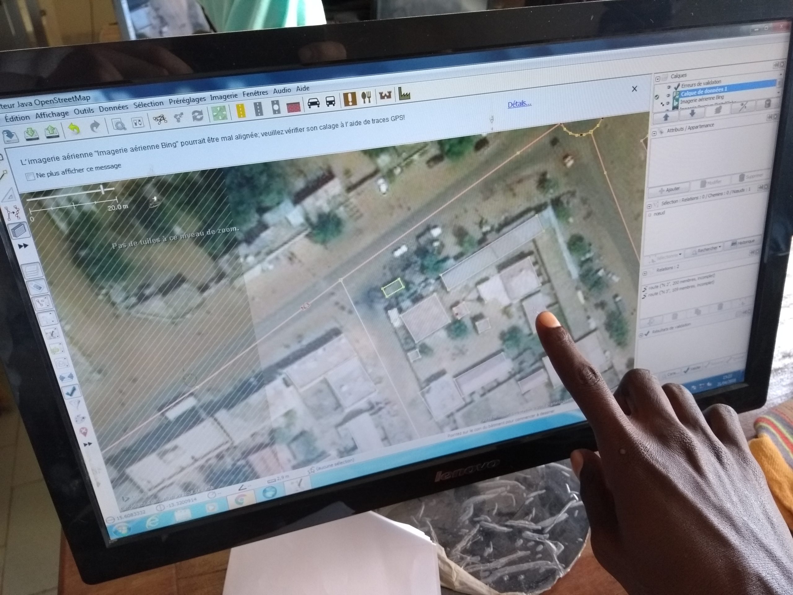
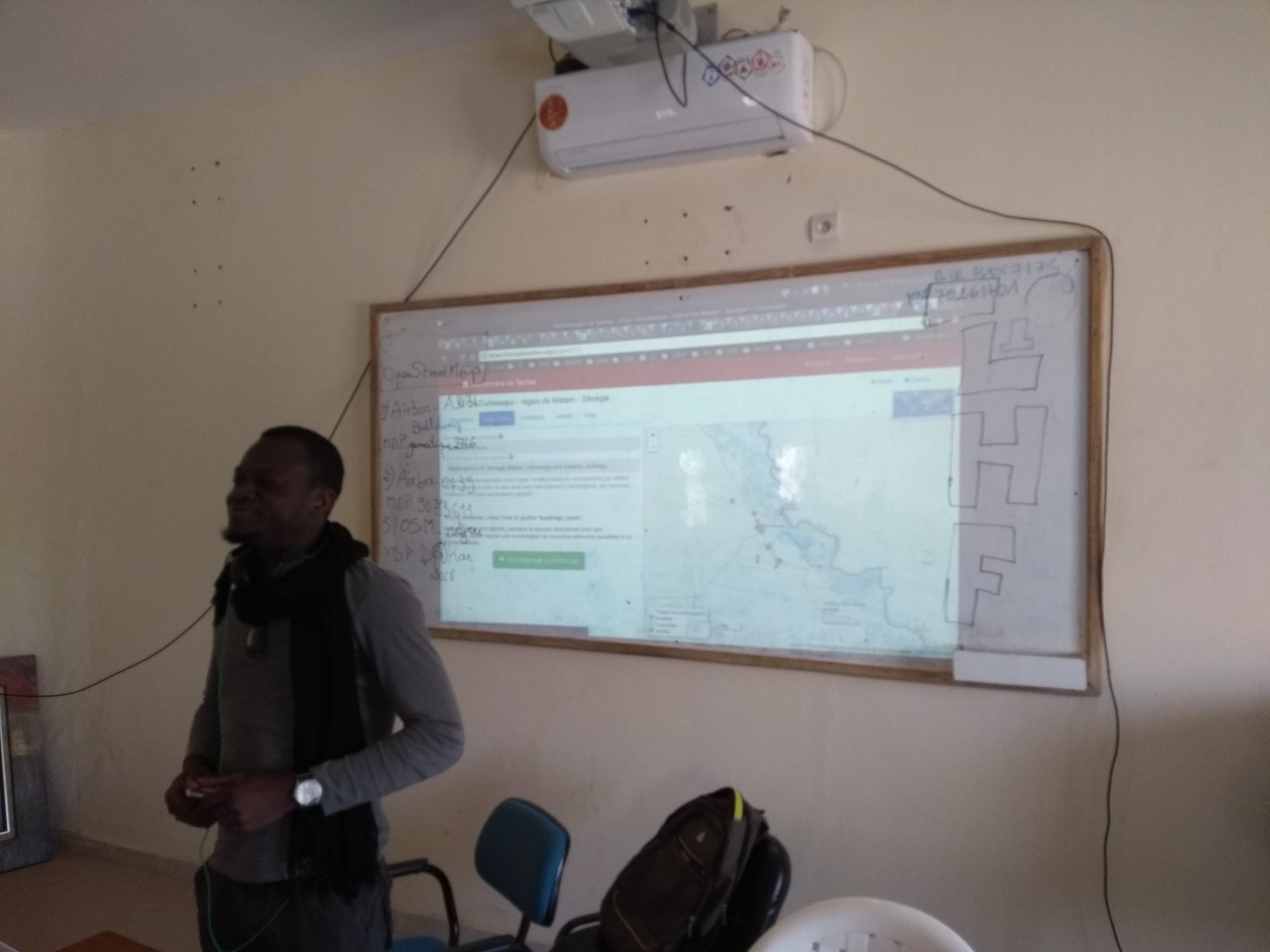
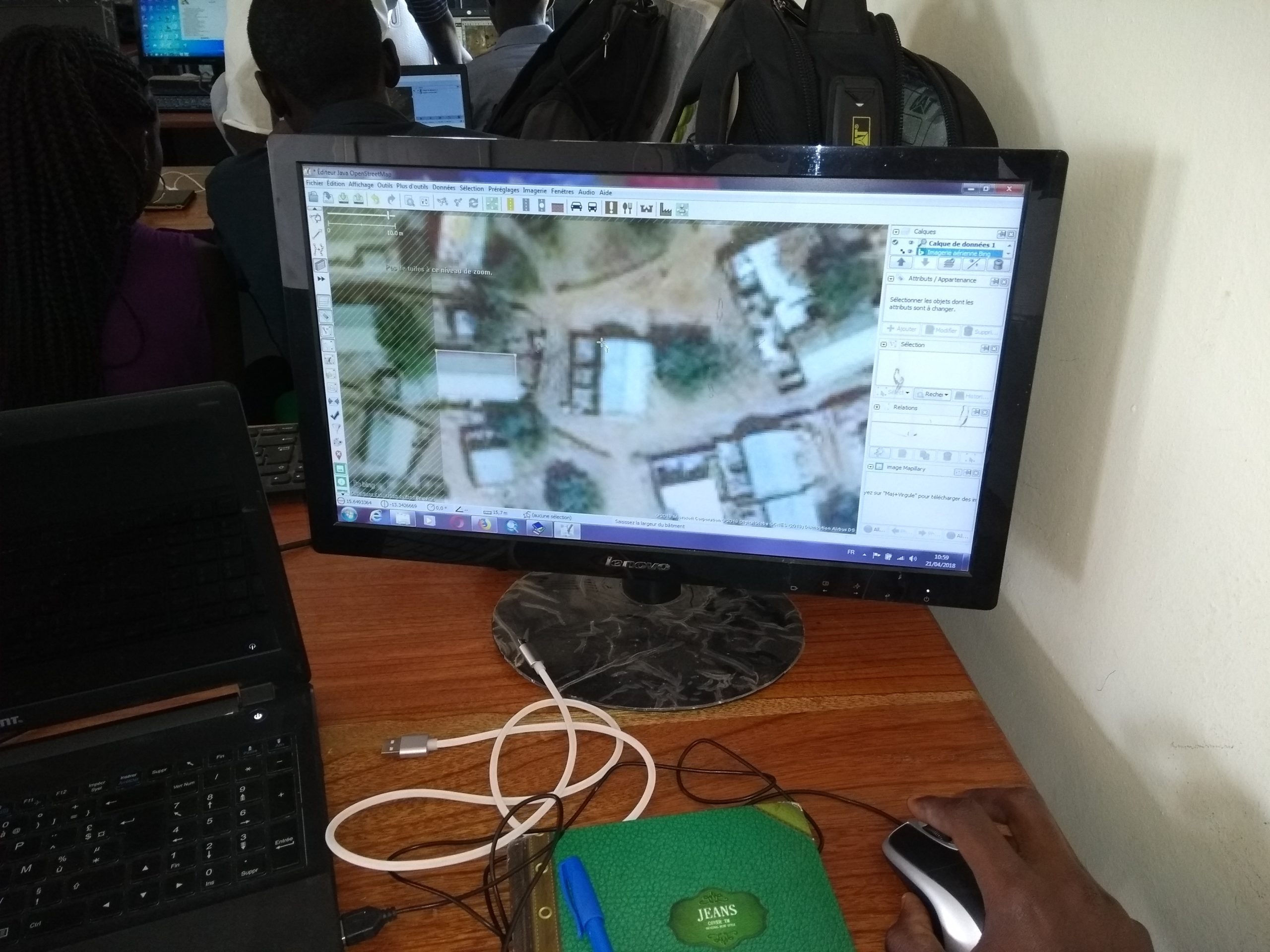
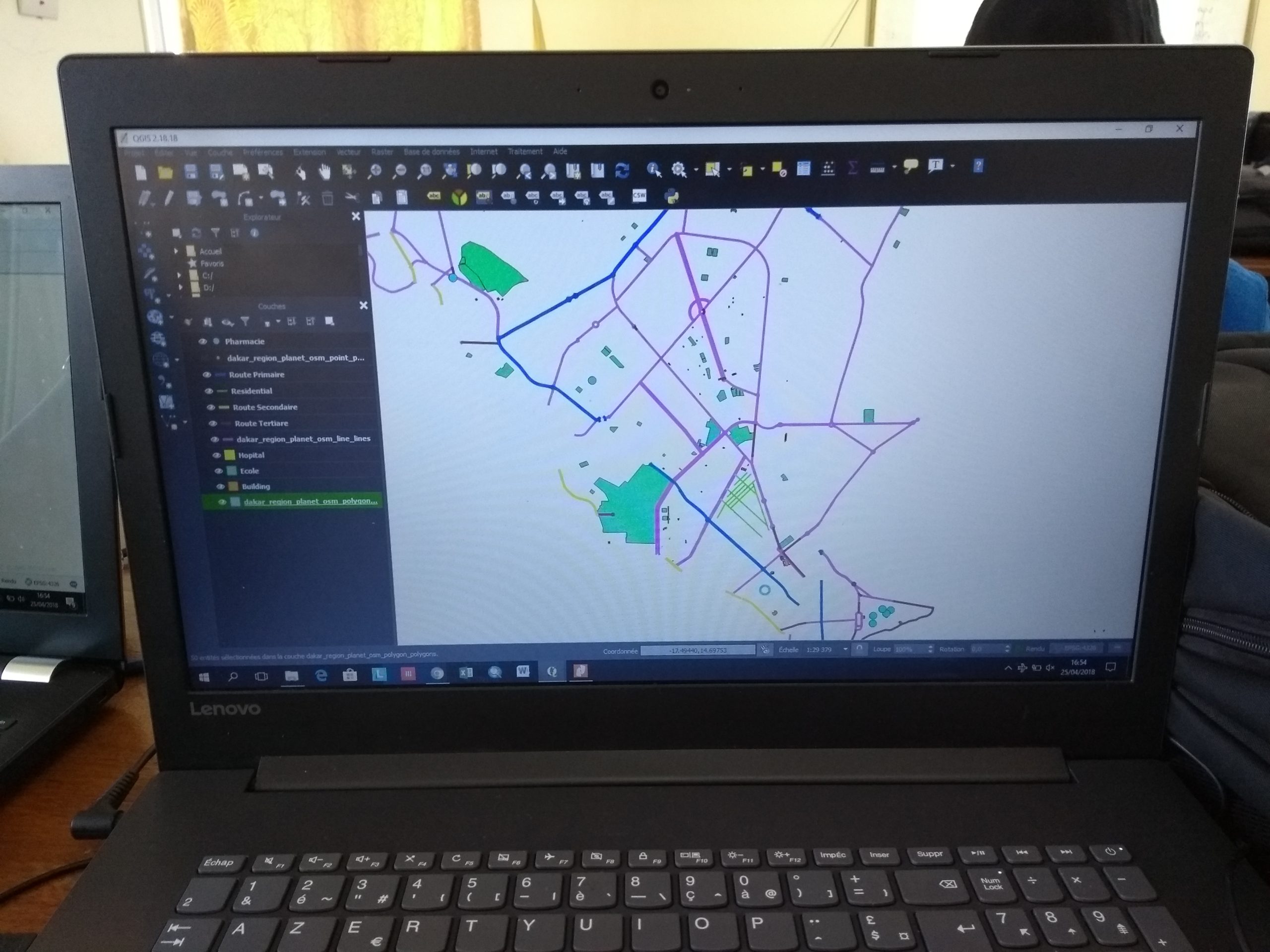
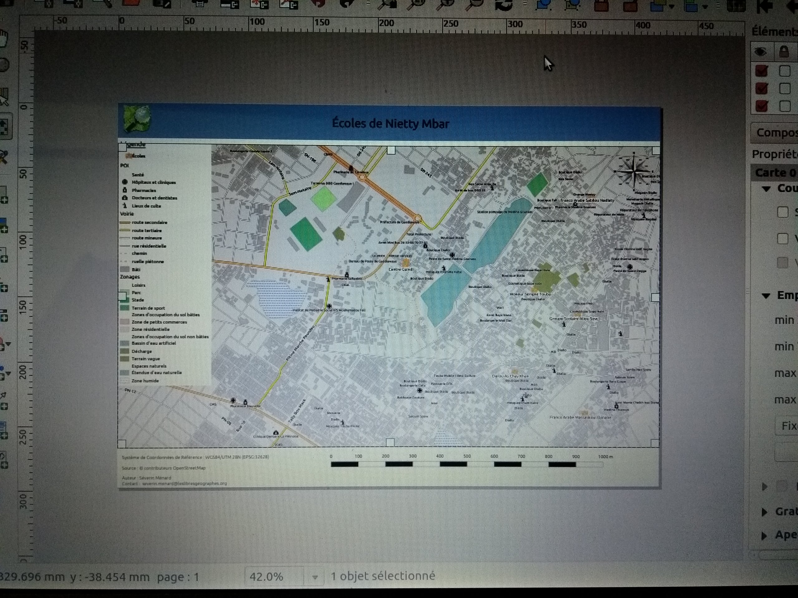
The creation of open geographic data in an area of interest identified by humanitarian actors
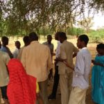
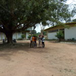
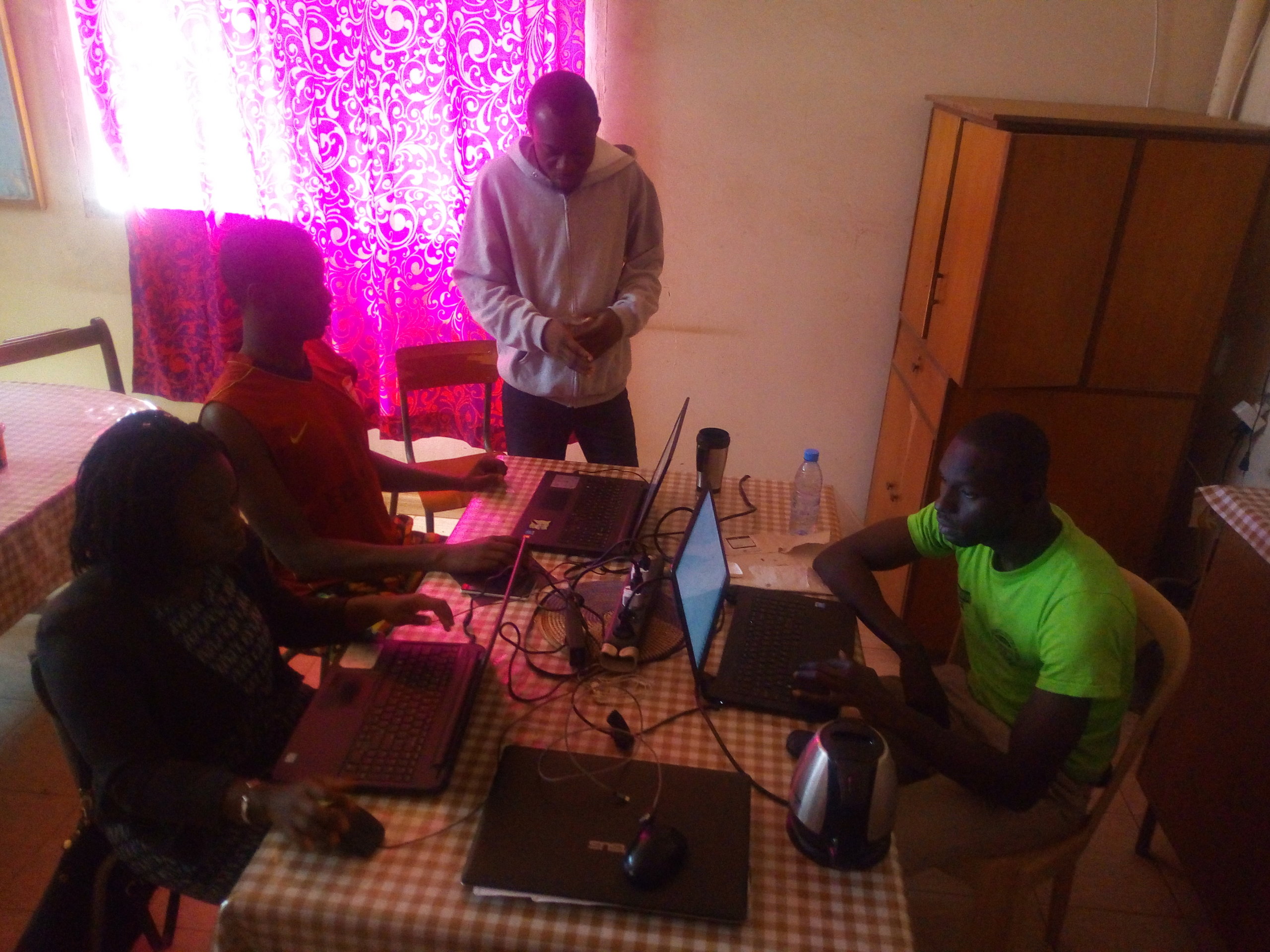
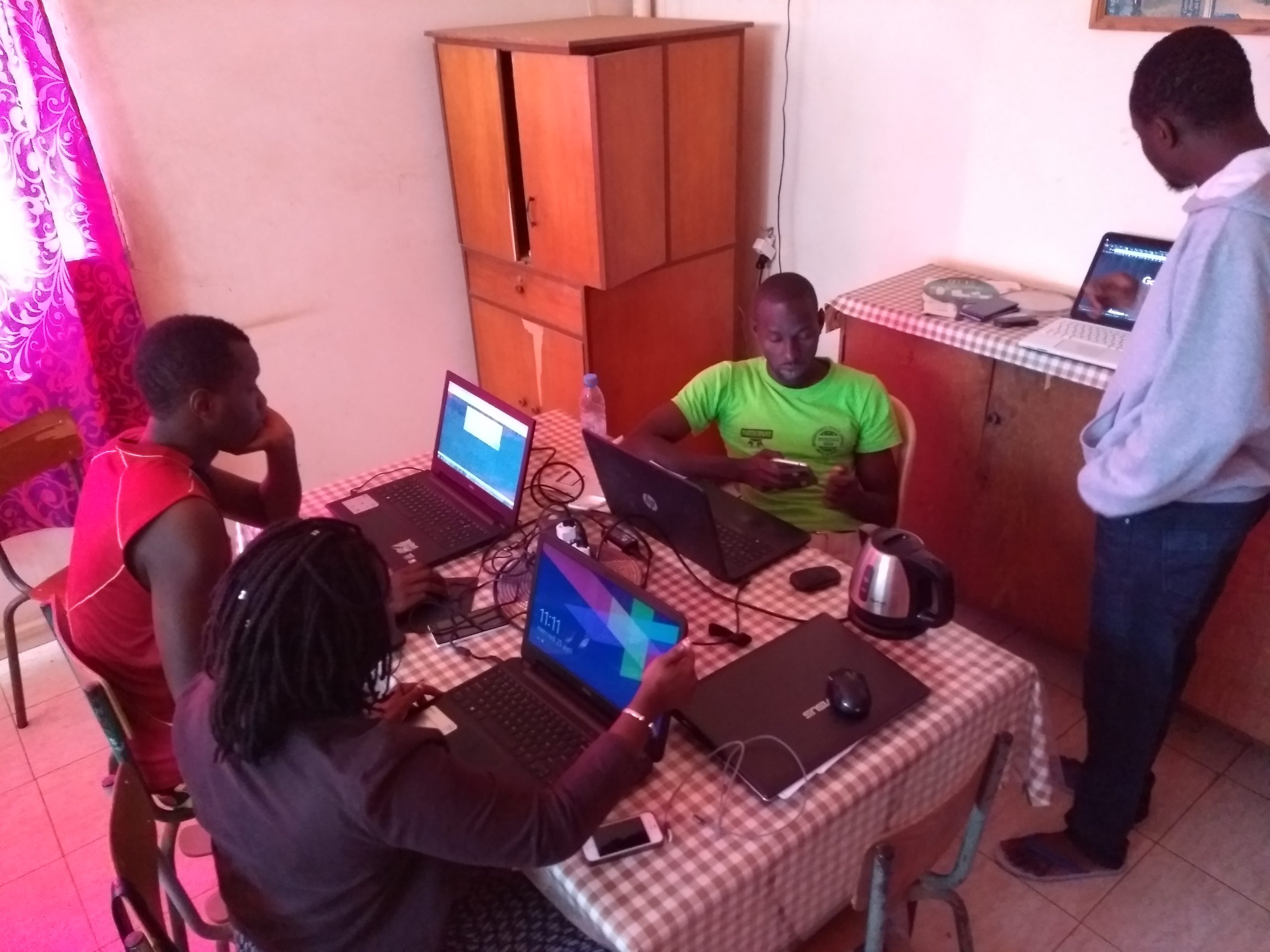
The team of trainers led this program of learning activities on the production and reuse of open geographic data, using the Batam region around the city of Ourossogui as a case study. This region had been previously identified by the Geomatics working group of humanitarian actors in Dakar, given its recurring problems with malnutrition. The data produced during each workshop day and a mapathon demonstrated to all participants the value of contributing to a free digital commons such as OpenStreetMap.
The text has been translated from French by DeepL.com (free version).
Location