Free Digital Mapping and Geomatics Workshops in Niamey
Jun 2017
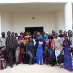
The Department for Economic and Digital Francophonie of the International Organisation of La Francophonie (OIF-DFEN) brought together four experts (from Benin, France, and Niger), coordinated by a senior member of Les Libres Géographes, to organize two workshops in Niamey, Niger from June 12 to 24, 2017 to conduct two awareness-raising and training workshops on free digital mapping (OpenStreetMap) and free Geomatics (QGIS and geOrchestra).
Three OpenStreetMap and open-source Geomatics workshops organized in parallel for different audiences
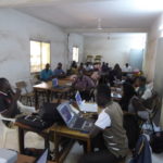
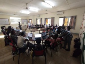
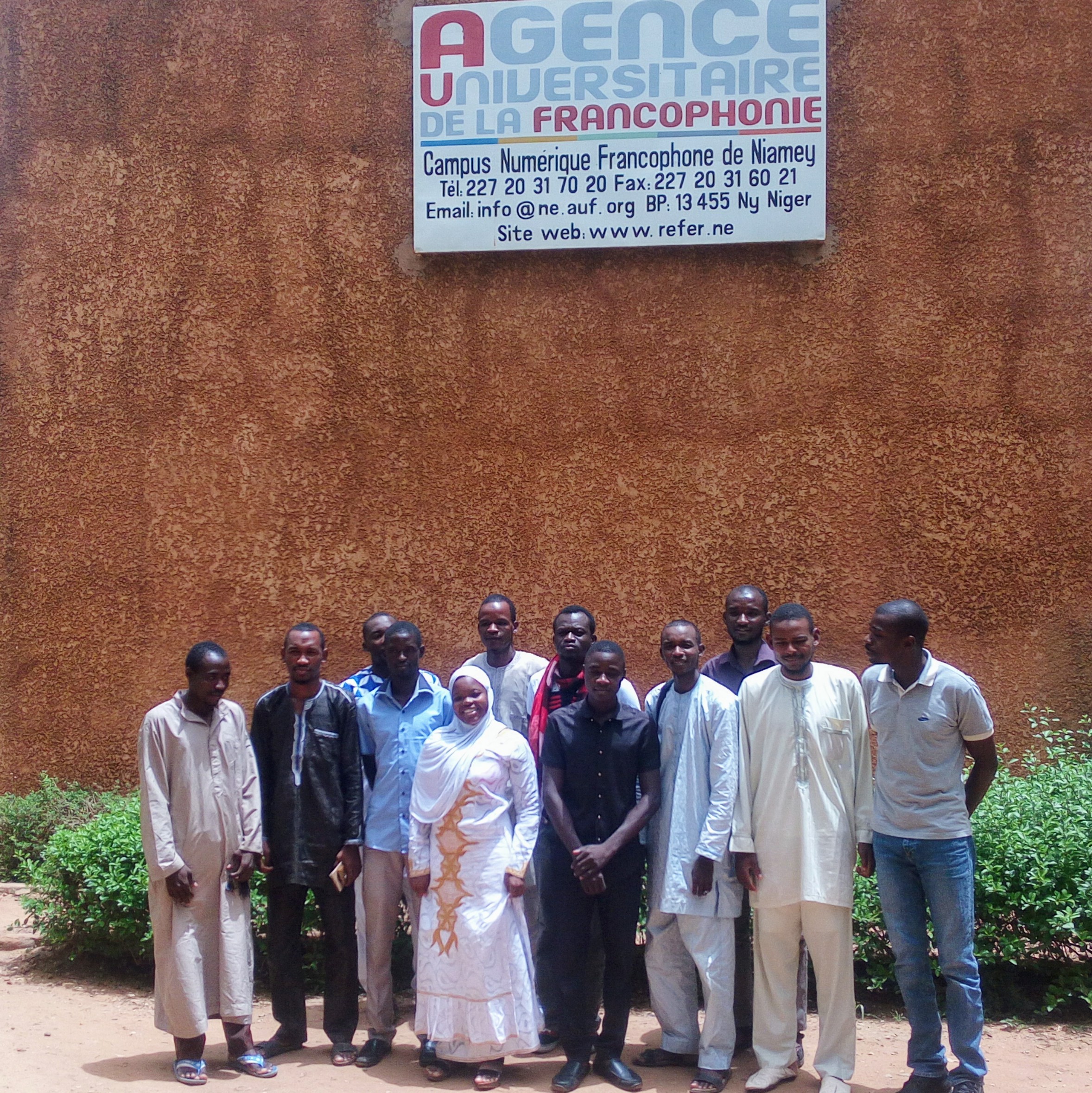
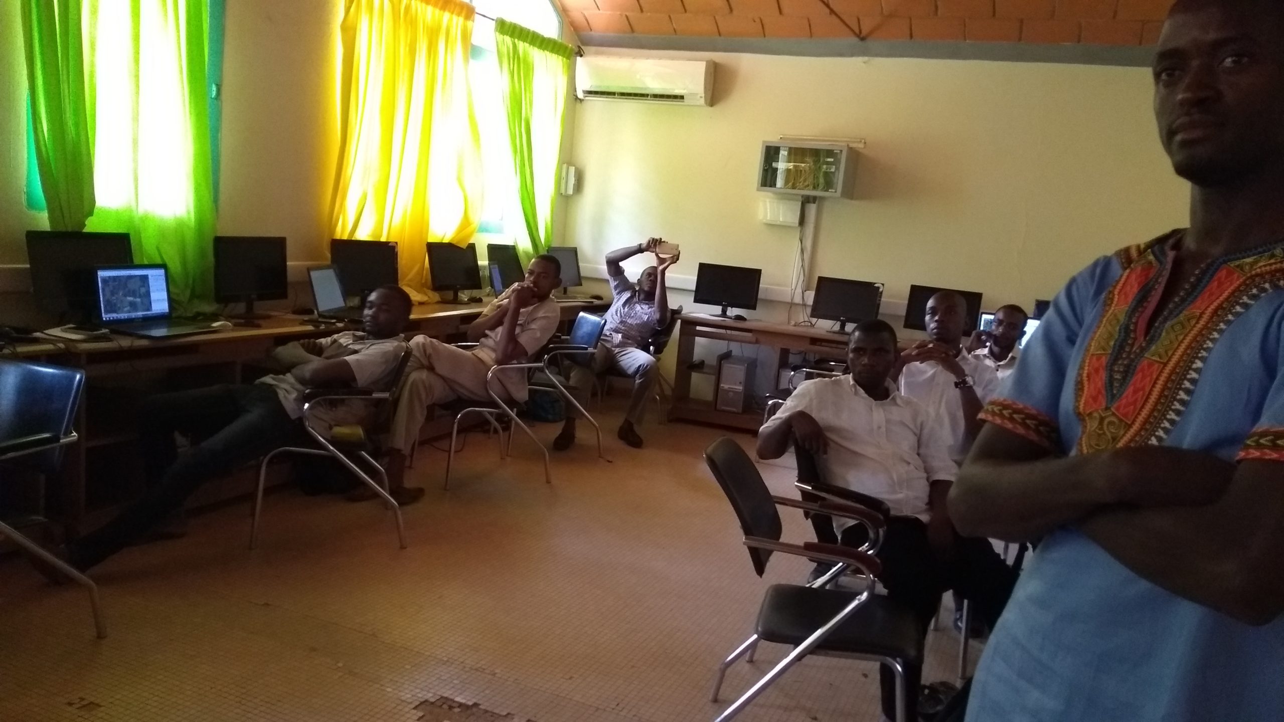
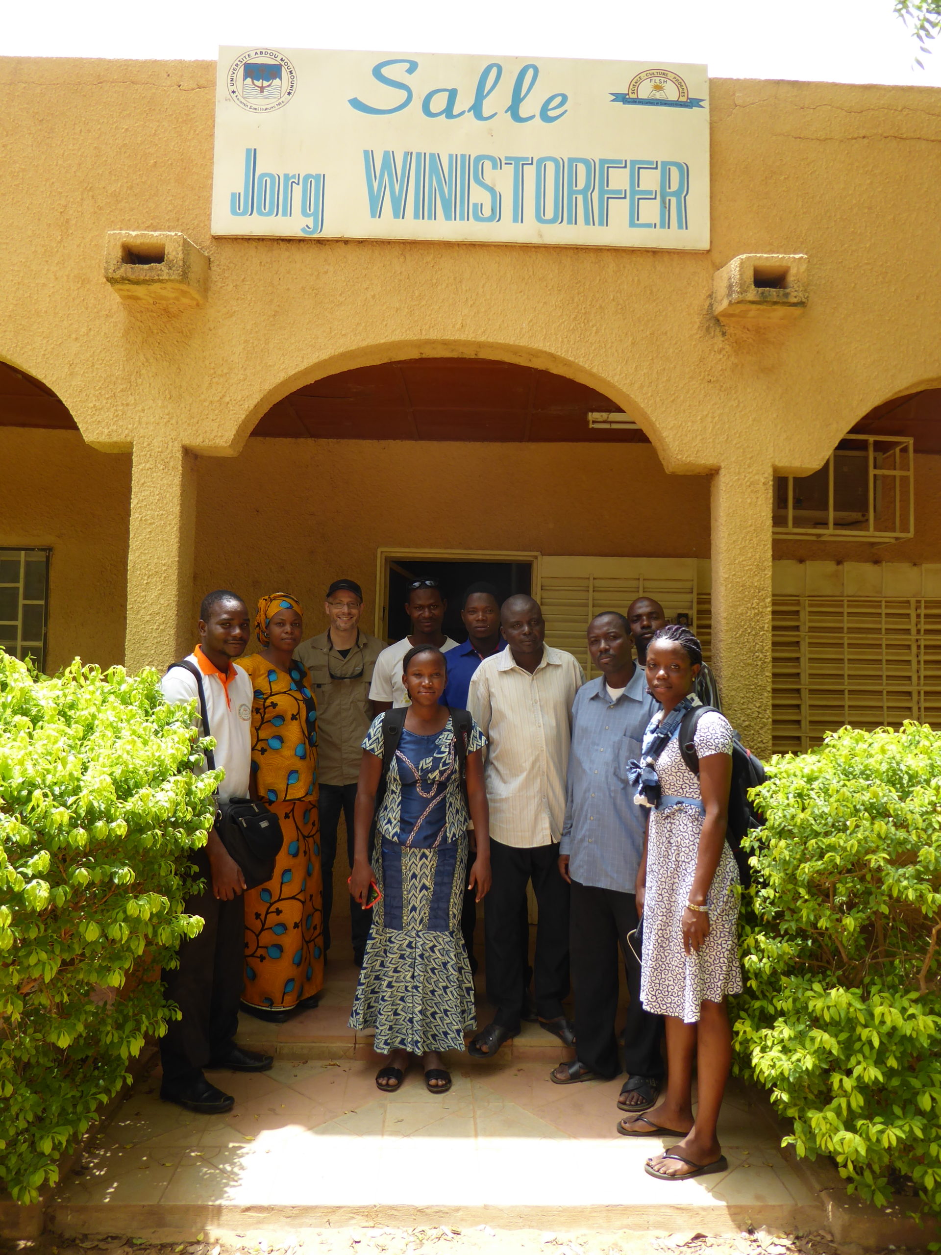
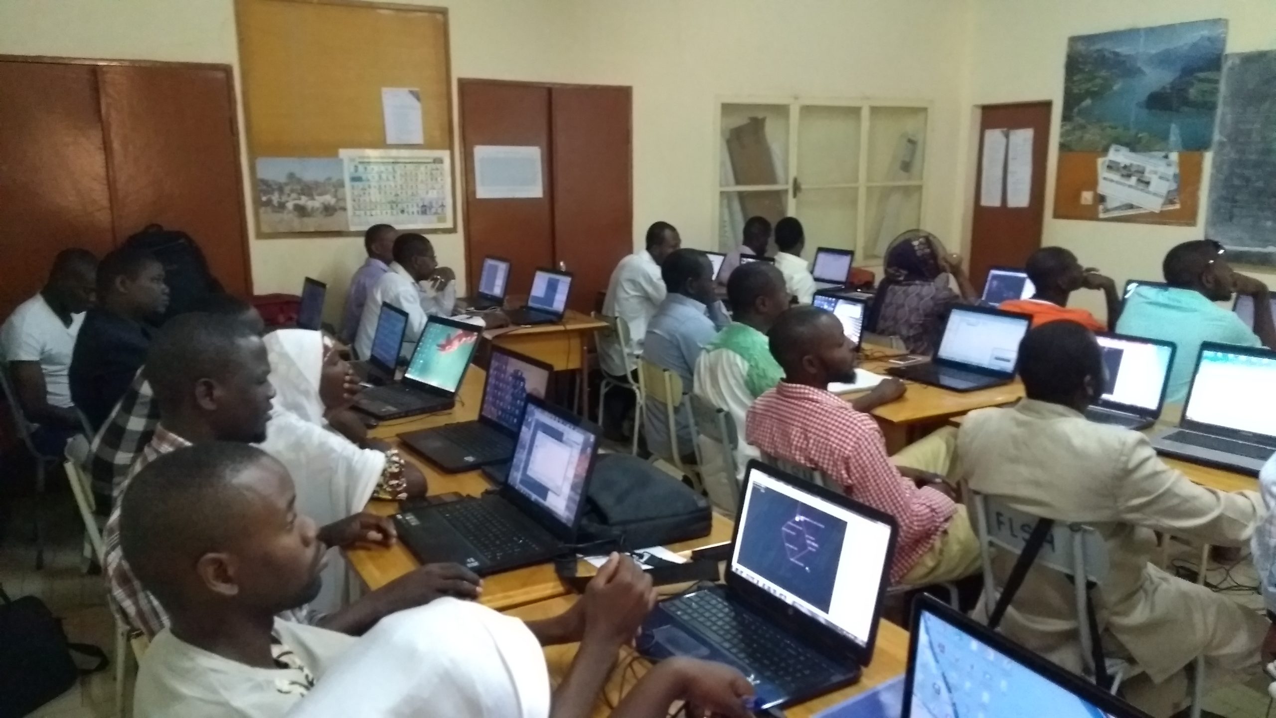
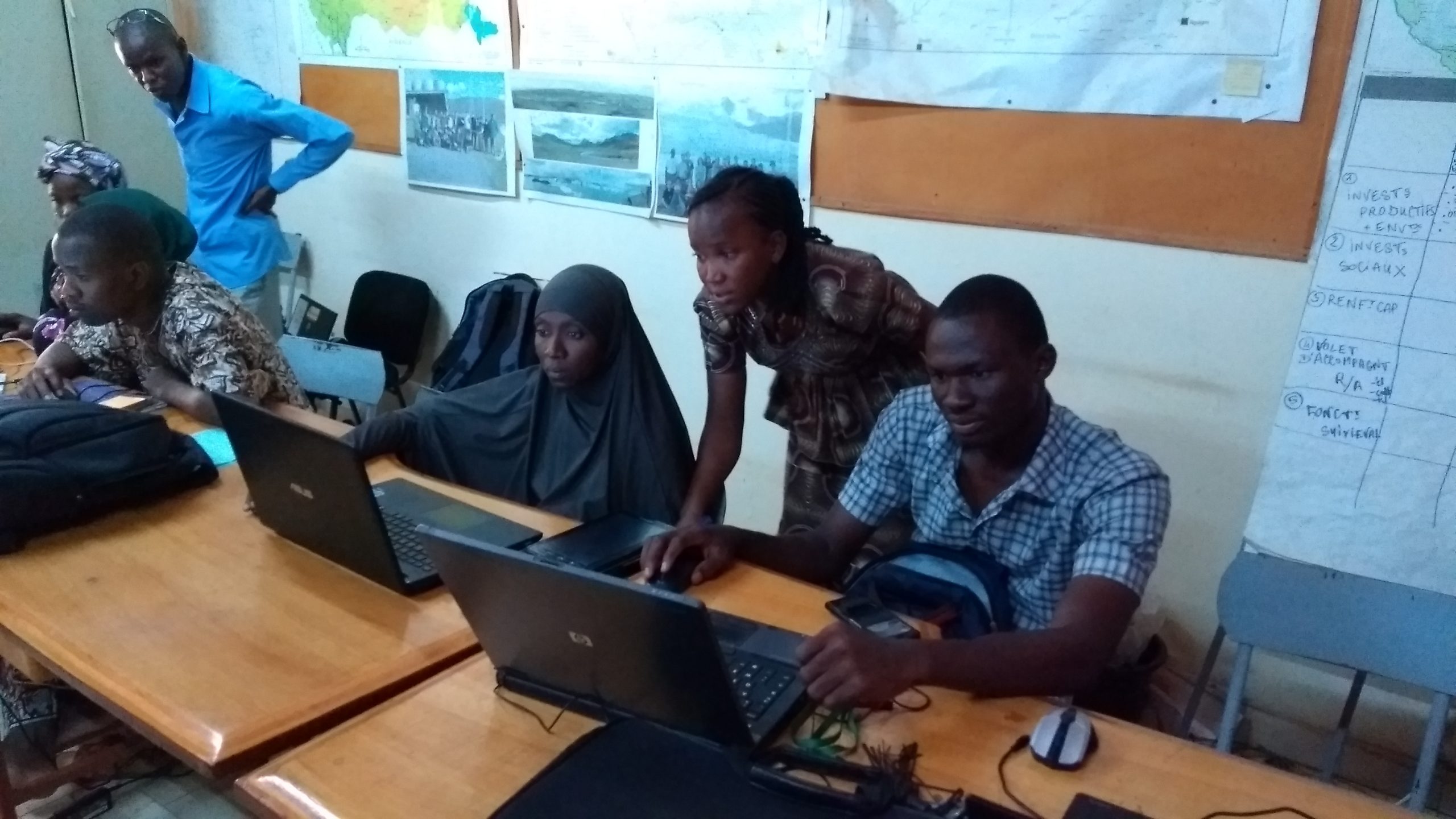
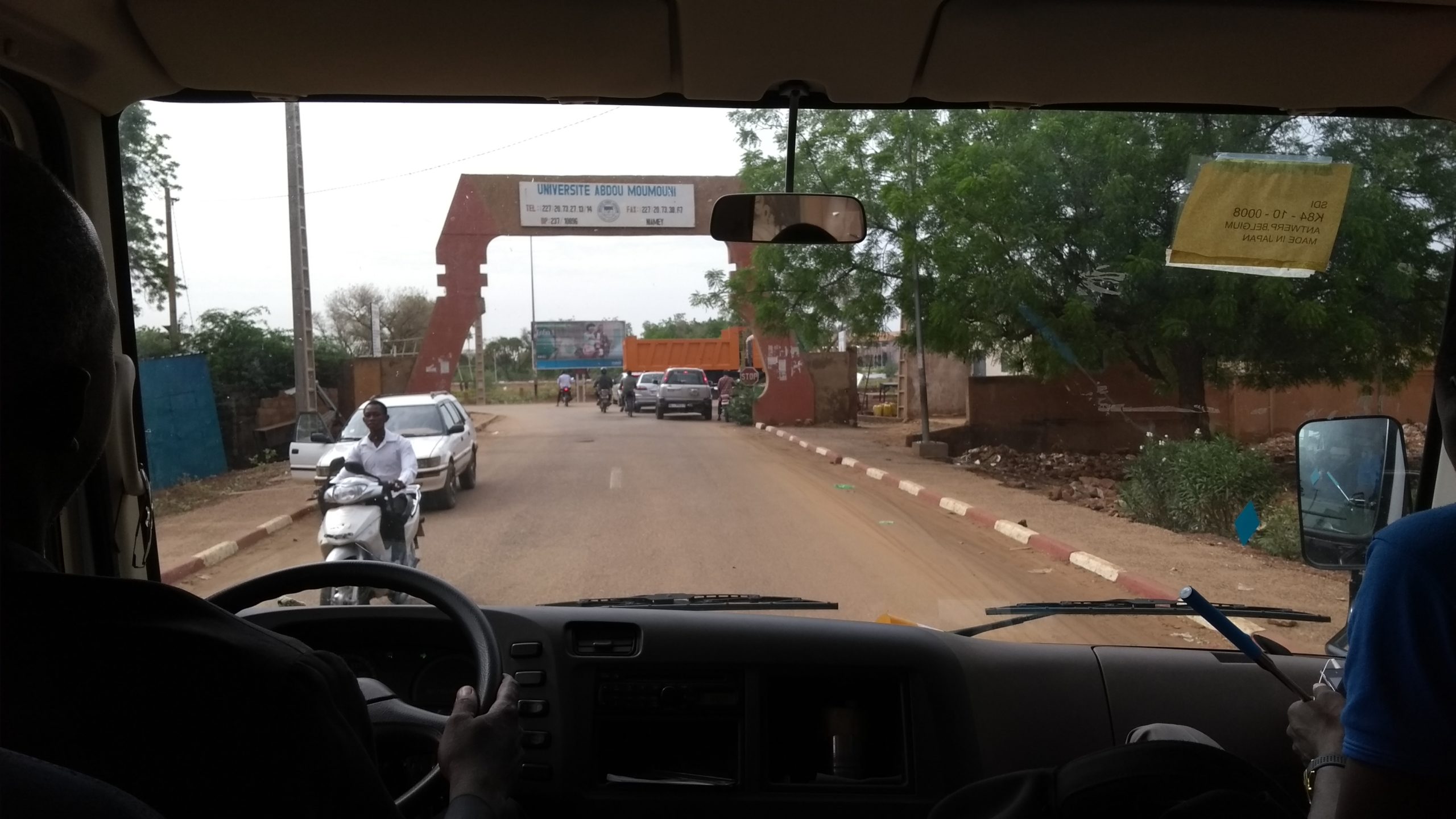
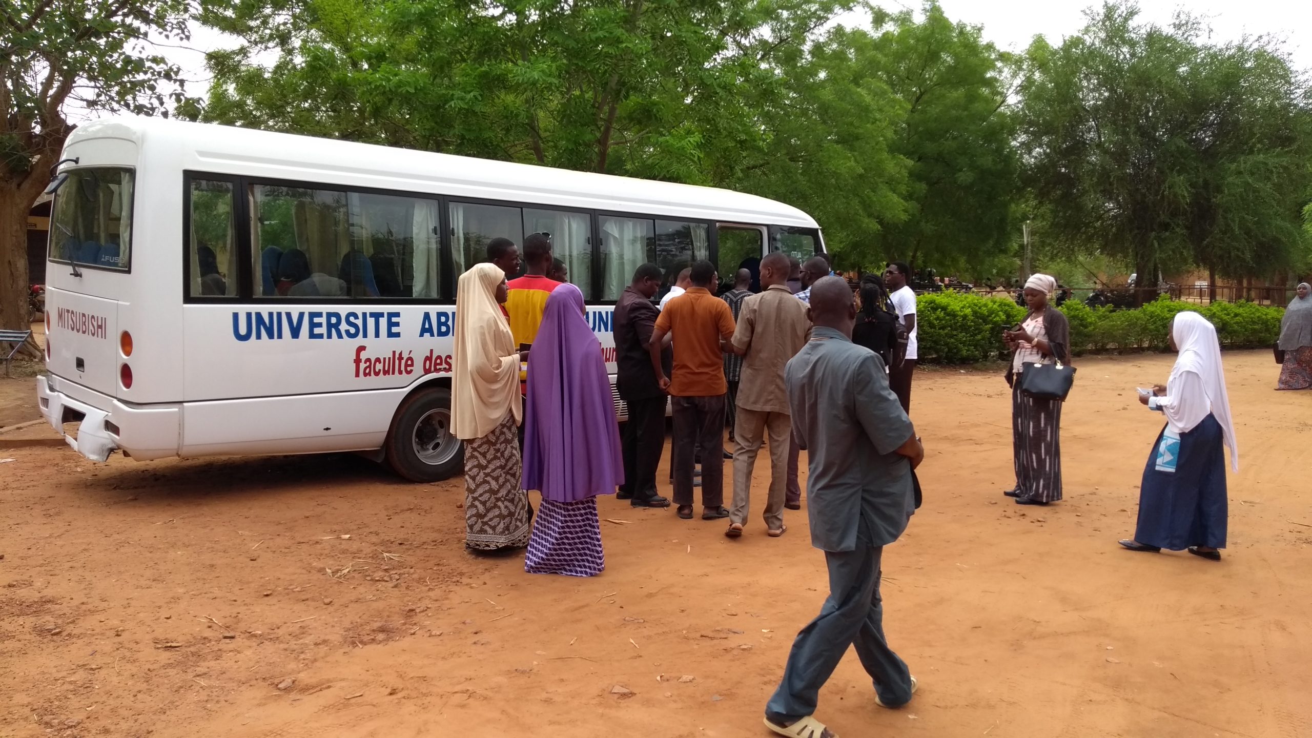
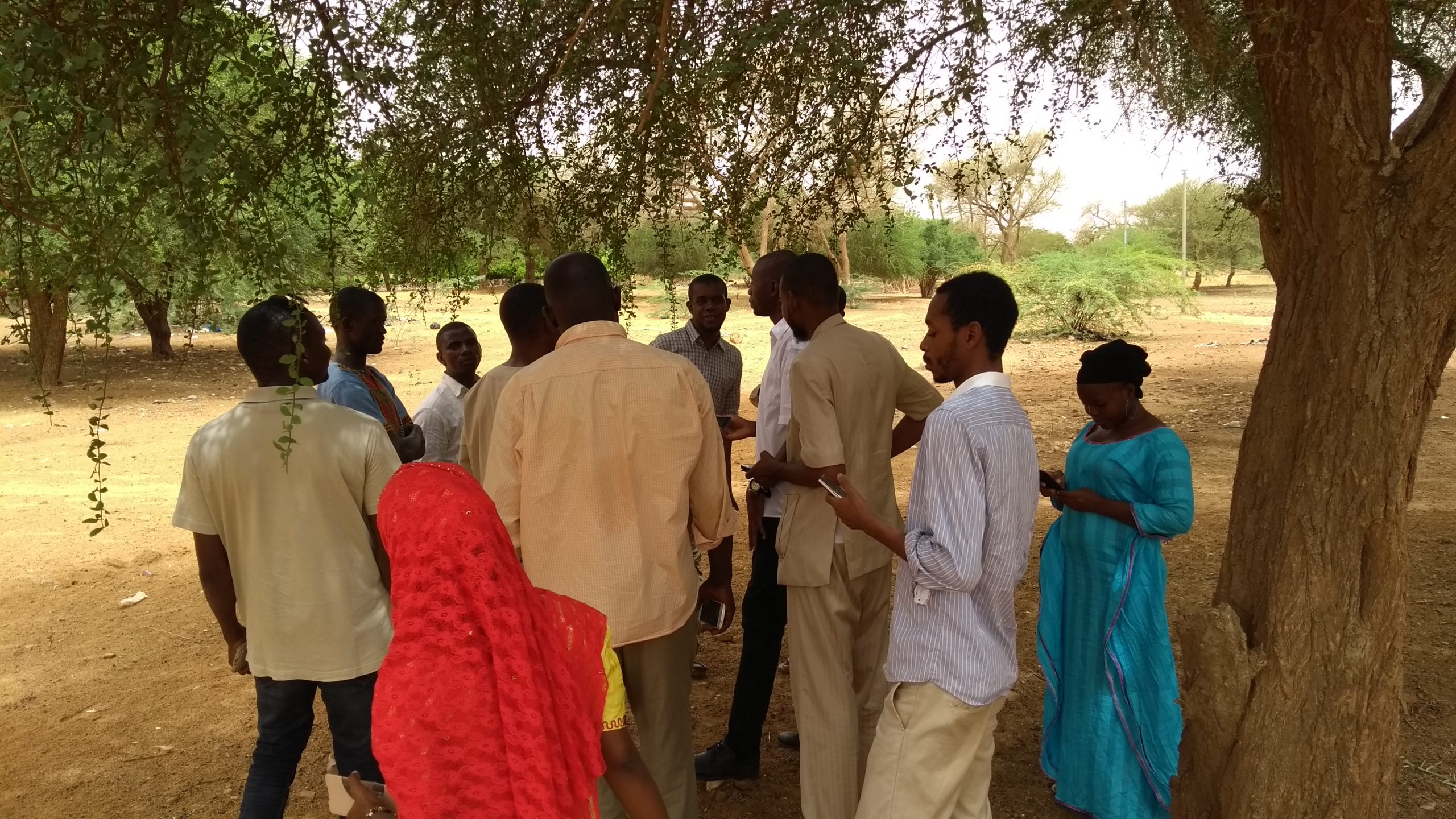
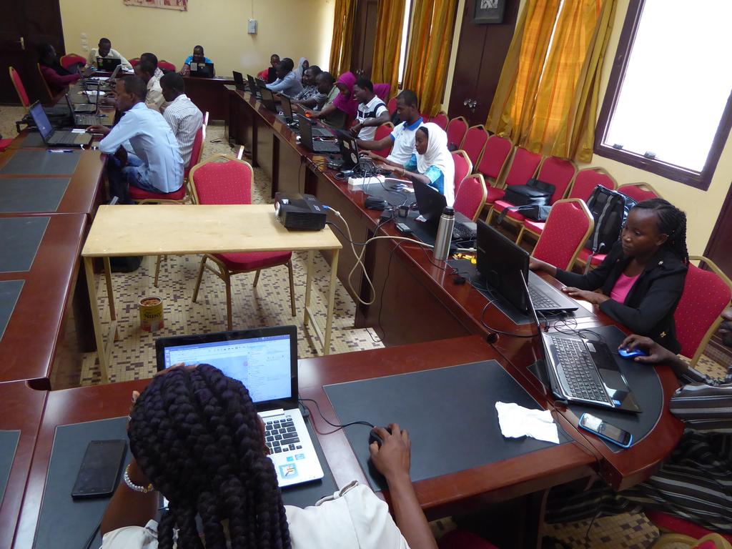
The regional capacity-building program was implemented collaboratively during two awareness-raising/training workshops held in parallel in Niamey on the campus of the Abdou Moumouni University, in the Department of Geography and at the Francophone Digital Campus, for an audience of 19 academics—mostly students in the Professional Bachelor’s Degree in Information Management (LPGI) – and 7 professionals or civil society representatives from various backgrounds. These workshops drew in particular on technical documentation also supported by the OIF-DFEN in this field (French translation of the LearnOSM self-learning portal, and the design and writing of the Guide to Open Geomatics and Open Data).
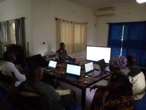
In addition, a two-day intensive workshop with specialized content was held at the Niamey offices of UNOCHA (United Nations Office for the Coordination of Humanitarian Affairs) for six members of the Geomatics working group of humanitarian actors in Niger, enabling them to become familiar with the online technical communities ready to provide voluntary humanitarian assistance, the OpenStreetMap ecosystem, its main tools for contributing and reusing data, and how to engage with OSM communities in crisis situations.
Internal capacity-building workshops for the facilitation team held in the evenings and on weekends
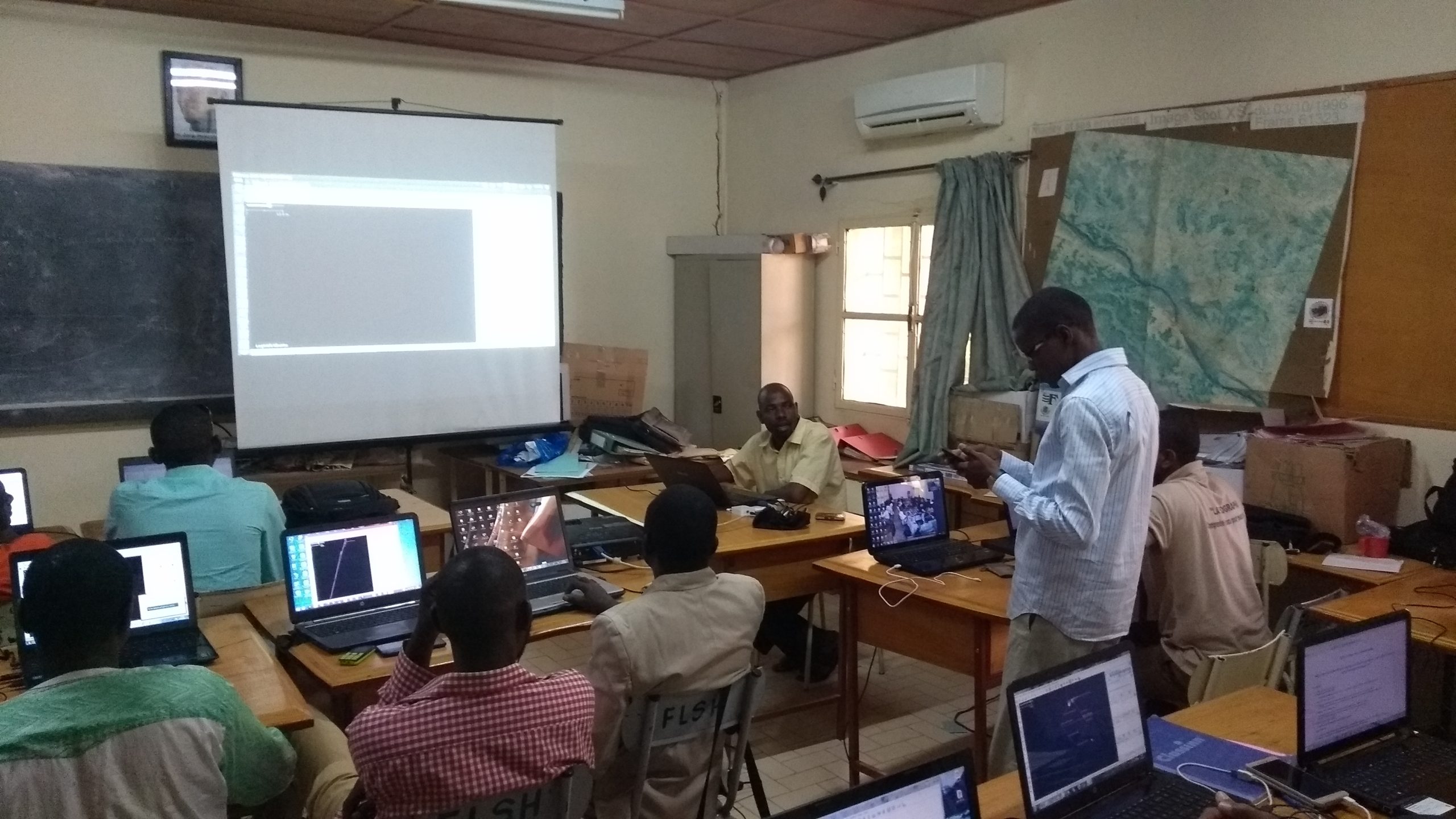
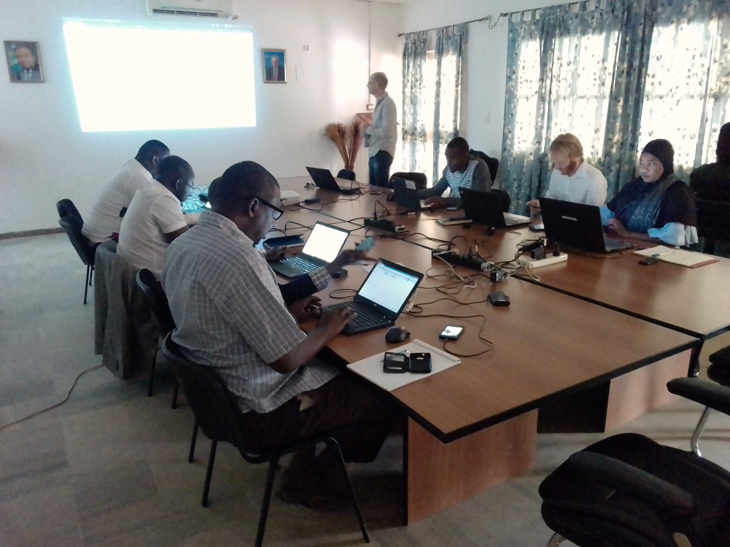
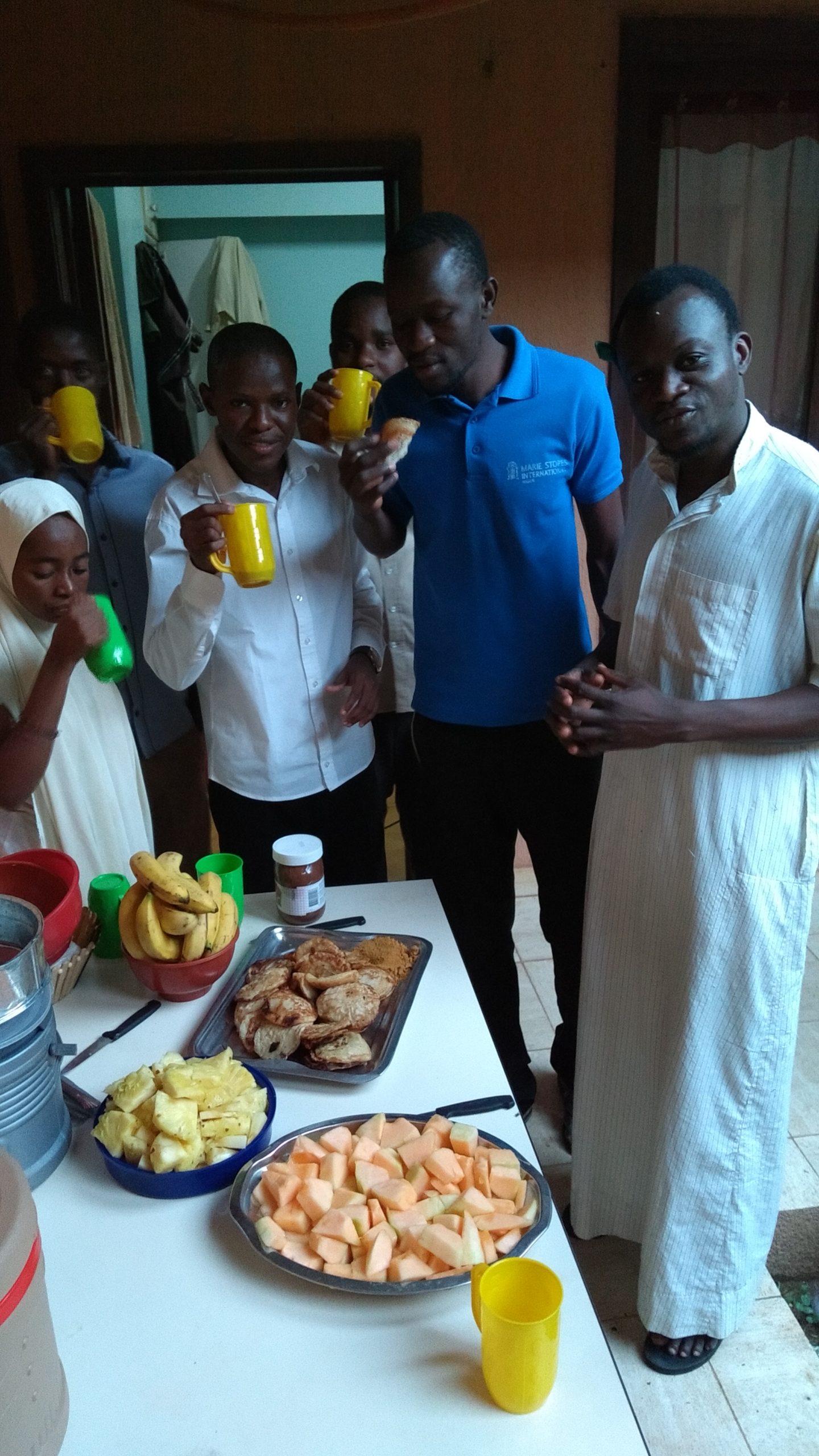
The four experts mobilized by OIF-DFEN to carry out this initiative were assisted by six individuals actively involved in coordinating the OSM project in Niger, Togo, and Burkina Faso (the latter were hosted as paid volunteers, sharing living quarters in a house on the Abdou Moumouni University campus). In addition to the scheduled workshops, during late afternoons or evenings, these volunteers were able to participate in internal training sessions on certain recent or complex tools within the OSM ecosystem, such as Mapillary, InaSAFE or MapContrib.
Workshops contributing to the creation of open data on a humanitarian zone in Niger
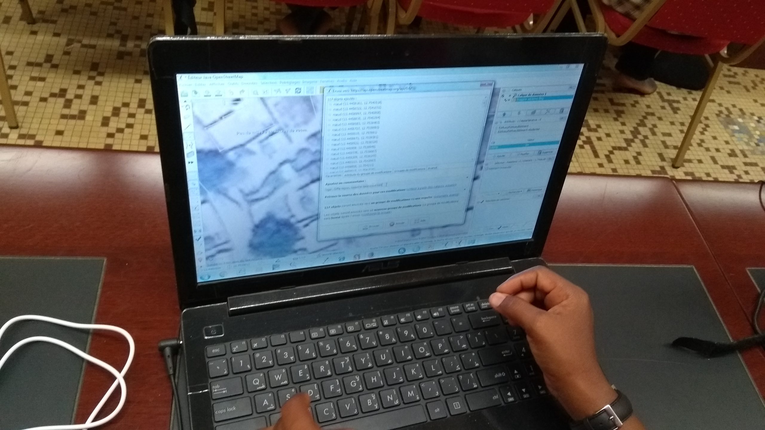
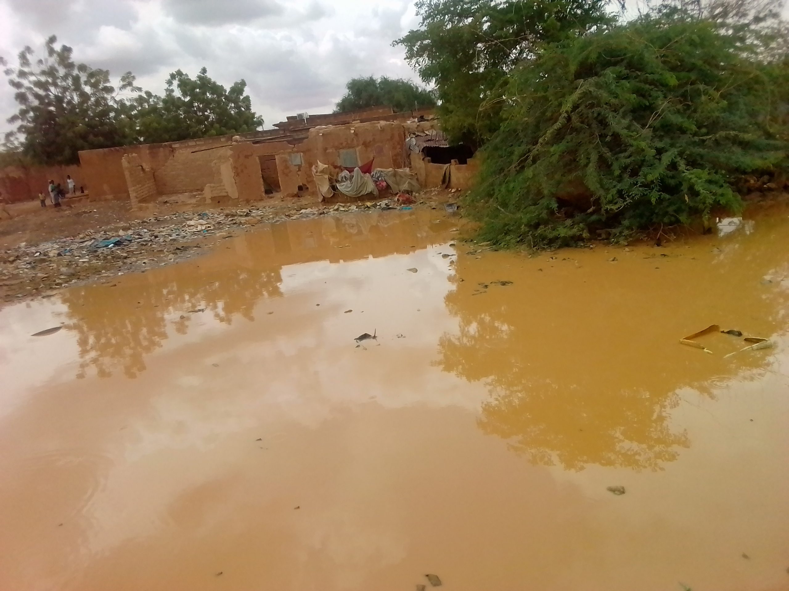
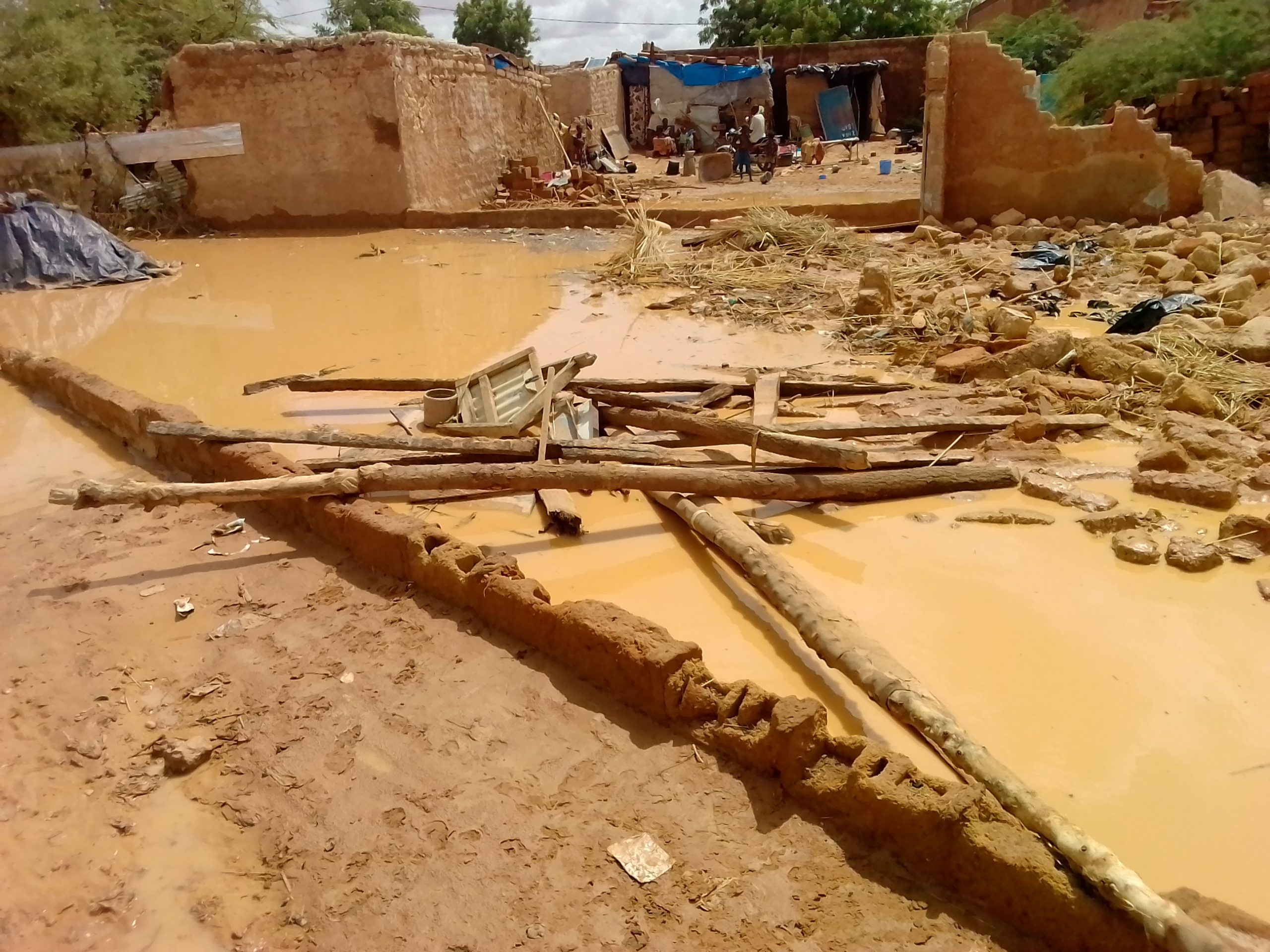
The team of trainers led this program of learning activities on the production and reuse of open geographic data, using the Diffa region as a case study. This region had been previously identified by the Geomatics Working Group of Humanitarian Actors in Niger, given the repeated attacks carried out by the Boko Haram group. The area closest to the border with Nigeria was digitized using satellite imagery, down to individual buildings and walls, during the various workshops. The data produced represents a significant contribution to the OpenStreetMap database, adding nearly 14,000 new buildings. It was then used as an issue layer during training on the InaSAFE software, which enables the generation of impact scenarios for buildings, the estimation of the affected population, and the determination of their minimum needs based on the SPHERE humanitarian indicators. The workflow associated with this real-world case demonstrated to all participants the full value of contributing to a free digital commons such as OpenStreetMap.
The text has been translated from French by DeepL.com (free version).
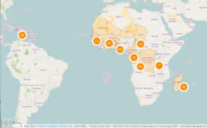
Location