Technical and Organizational Workshops for Trainers in Lomé
May 2017
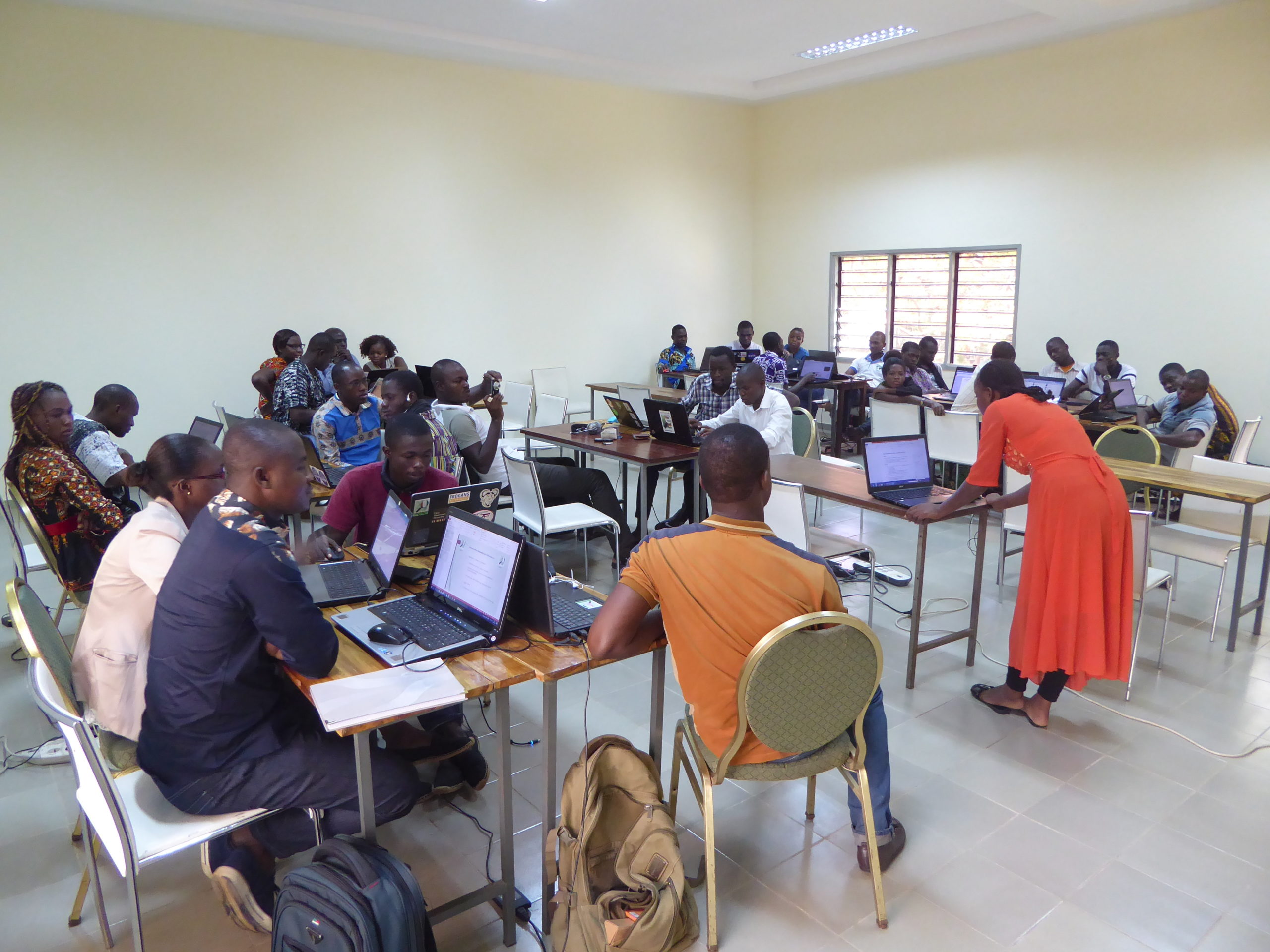
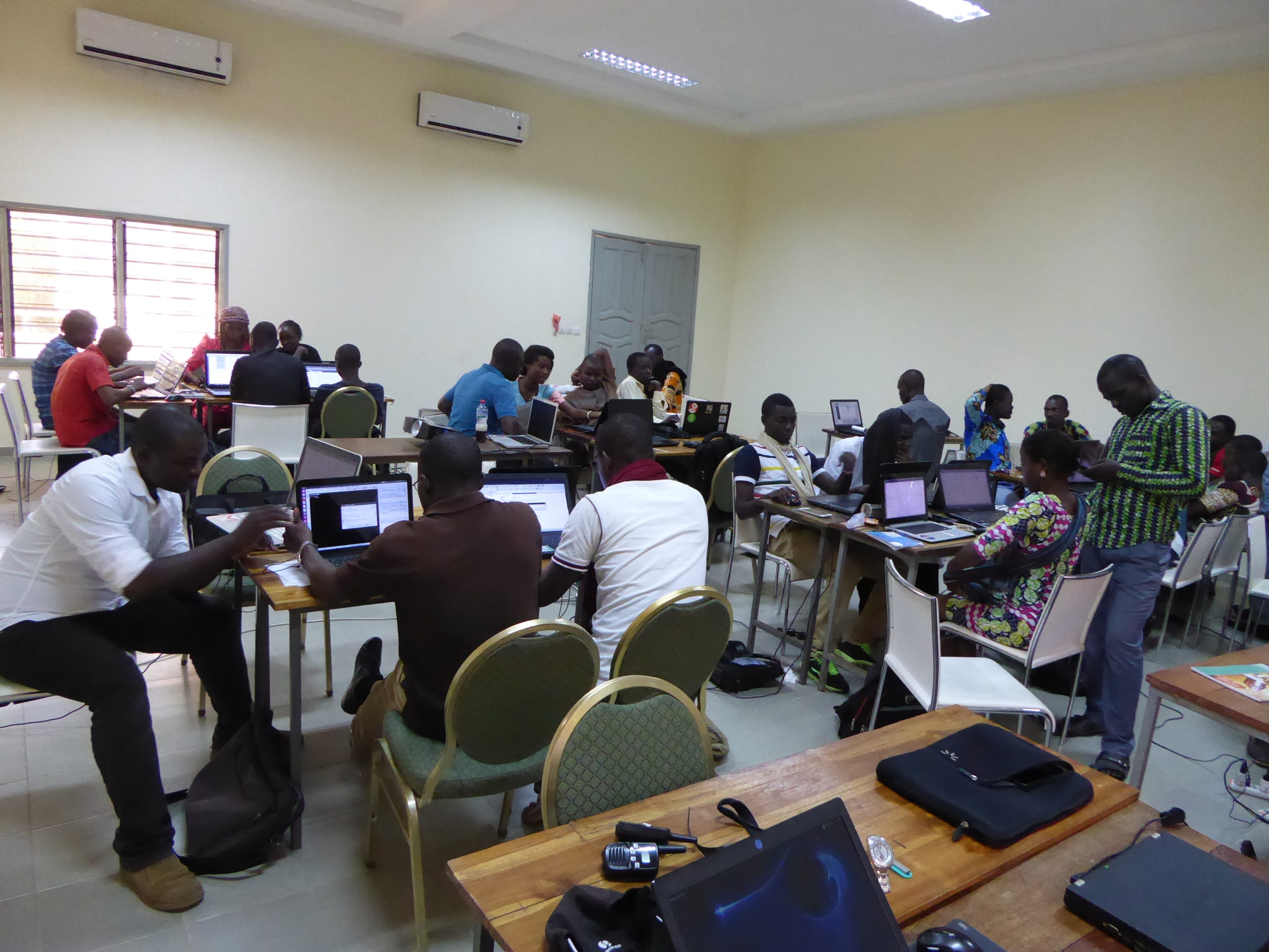
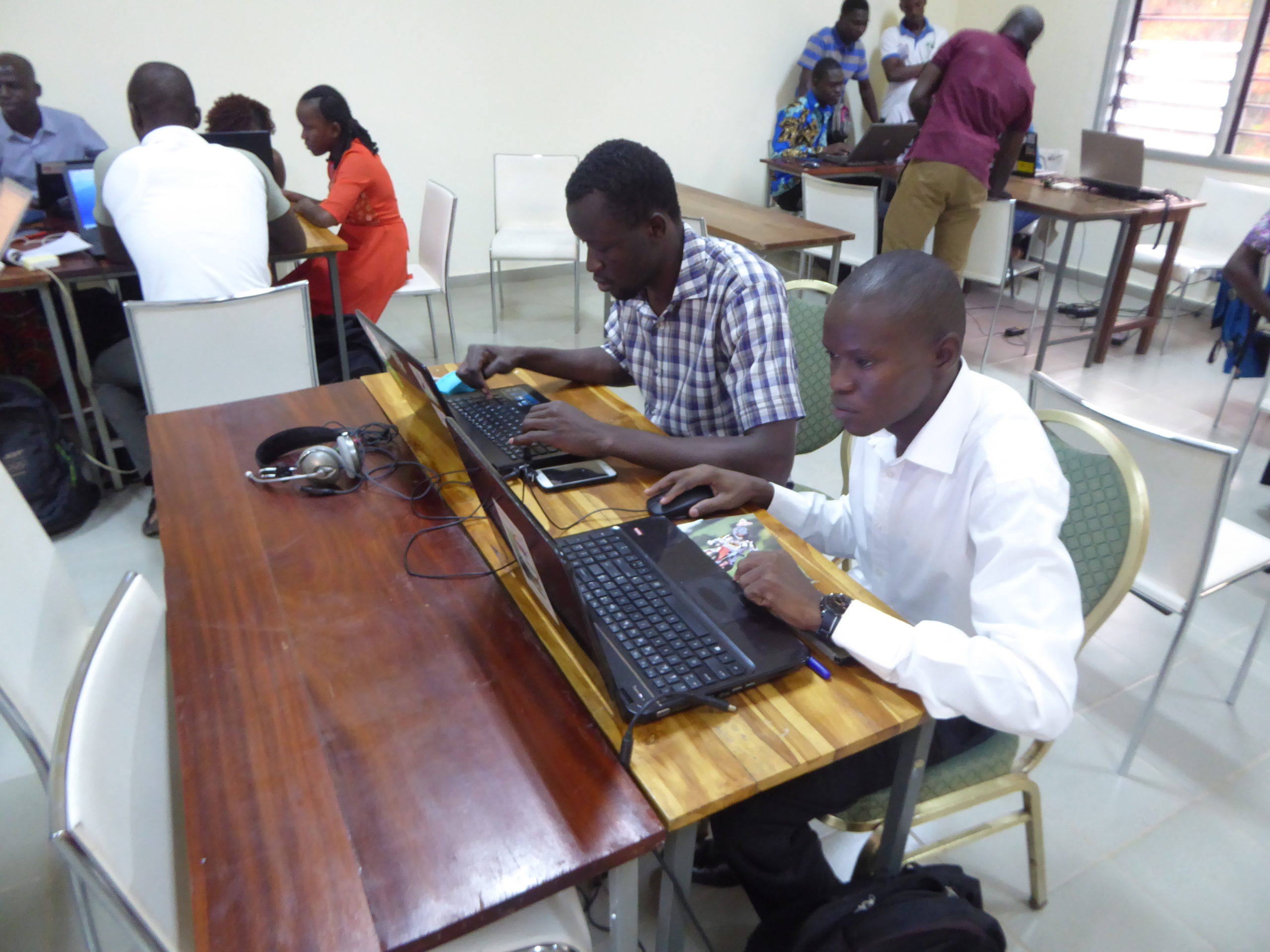
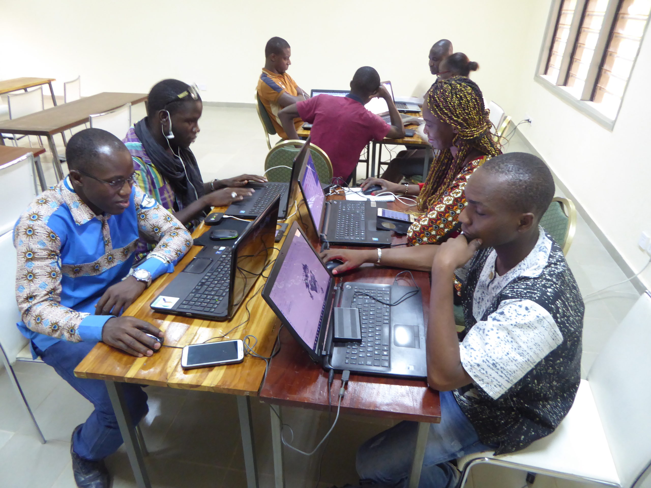
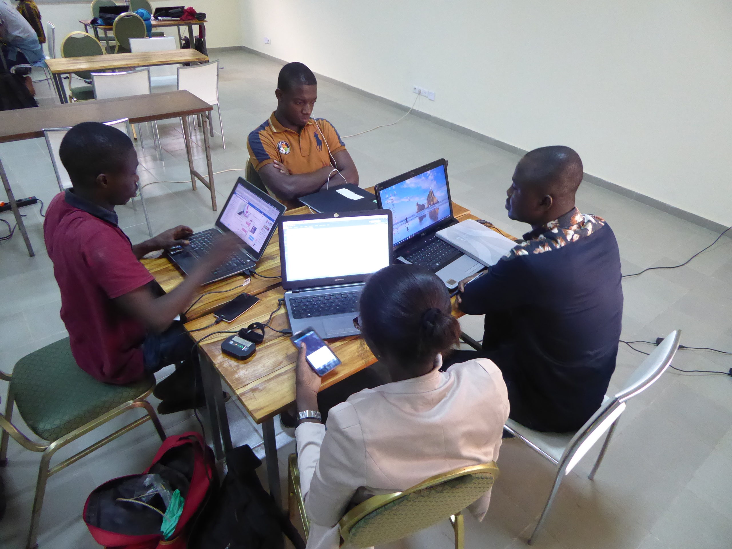
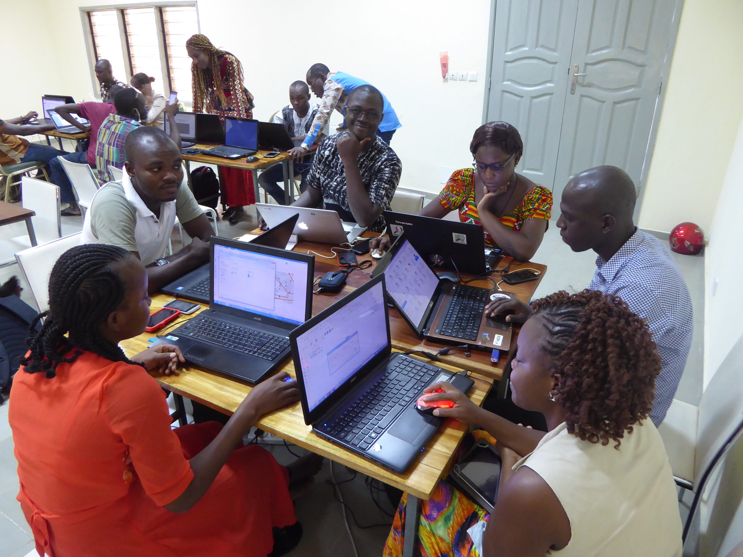
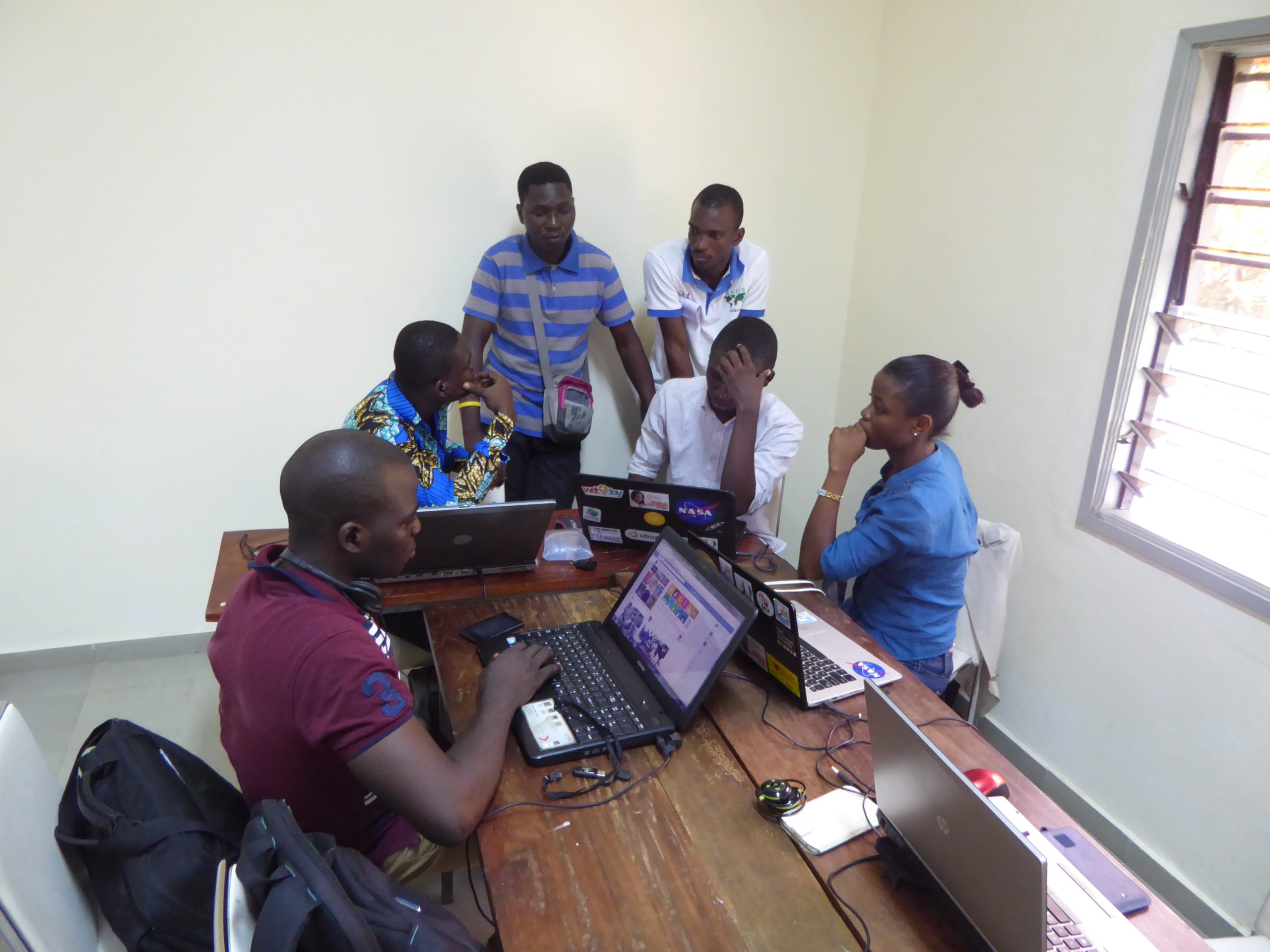
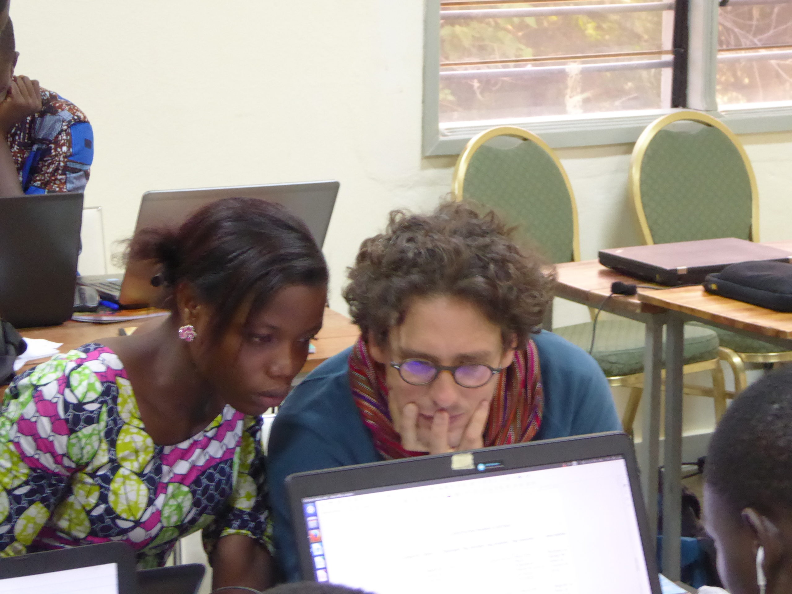
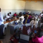
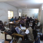
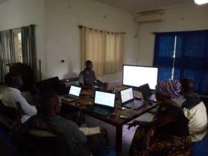
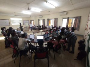
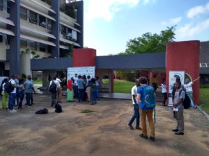
From May 8 to 19, 2017, a regional capacity-building program was jointly organized on the campus of the University of Lomé (UL) – the International Center for Language Research and Studies (CIREL-Village du Bénin) and the Francophone Digital Campus (CNF) – by a group of international and national OSM experts from Togo, France, Burkina Faso, Côte d’Ivoire, Mali, Benin, and Niger for an audience of 33 people actively involved in leading the OSM project in these countries. The program consisted of two capacity-building components: technical and organizational.
The team of trainers and participants were able to carry out this program of activities while also mobilizing to initiate and significantly support the OpenStreetMap project’s response to the Ebola virus outbreak declared in the Democratic Republic of the Congo (DRC) on May 11 by the World Health Organization (WHO).
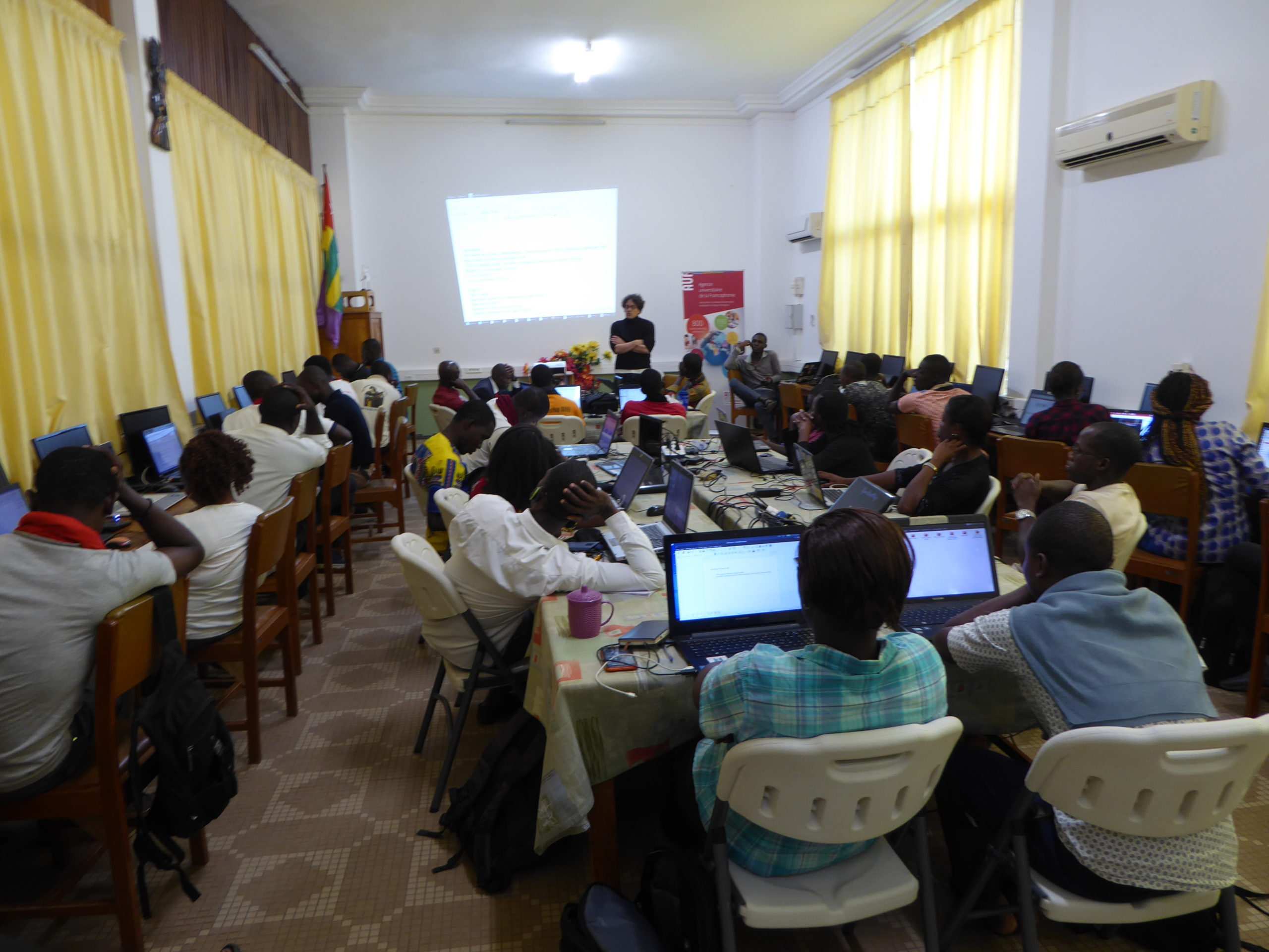
Technical workshops on open-source Geomatics, covering OSM data creation, data collection via ODK, advanced QGIS use, and the use of a SDI
The technical workshop program addressed the following topics:
- Remote OSM data creation and quality control using the various satellite imagery sources available to the OSM project via the open-source French-language Task Manager, a web service maintained by Les Libres Géographes
- Review of field data collection tools, particularly the OpenDataKit (ODK) suite
- In-depth study of QGIS, a free GIS software package that uses OSM data as well as other open data (open data). Topics covered in depth included raster image georeferencing, understanding and utilizing digital elevation models (DEMs) to create derived information (particularly contour lines), the creation of vector geographic information (GI) through digitization from raster data, the execution of thematic and spatial processing and queries on vector data, as well as the performance of spatial analysis operations tailored to the West African context, and the symbolization of information layers for the creation of cartographic renderings
- Semantic modeling to consolidate and, where appropriate, enrich the data model (the attribute system comprising the mapping elements or “map features”) of the OSM project for mapping projects conducted in West Africa;
- Design, based on these semantic data models, of attribute models (“presets”) necessary for editing the OSM database using the project’s tools, notably the Java OpenStreetMap Editor (JOSM);
- Designing, based on these semantic data models, an ODK digital questionnaire using various tools from this project, notably the humanitarian web platform KoboToolBox as well as tools that enable offline work;
- Introduction, demonstration, and hands-on training on the open-source Spatial Data Infrastructure (SDI) geOrchestra – web tools that use OSM data and other open data to search for and visualize geographic information (GI), query and style spatial layers to create online maps, and upload and share geographic datasets and their associated metadata to make them accessible via the internet
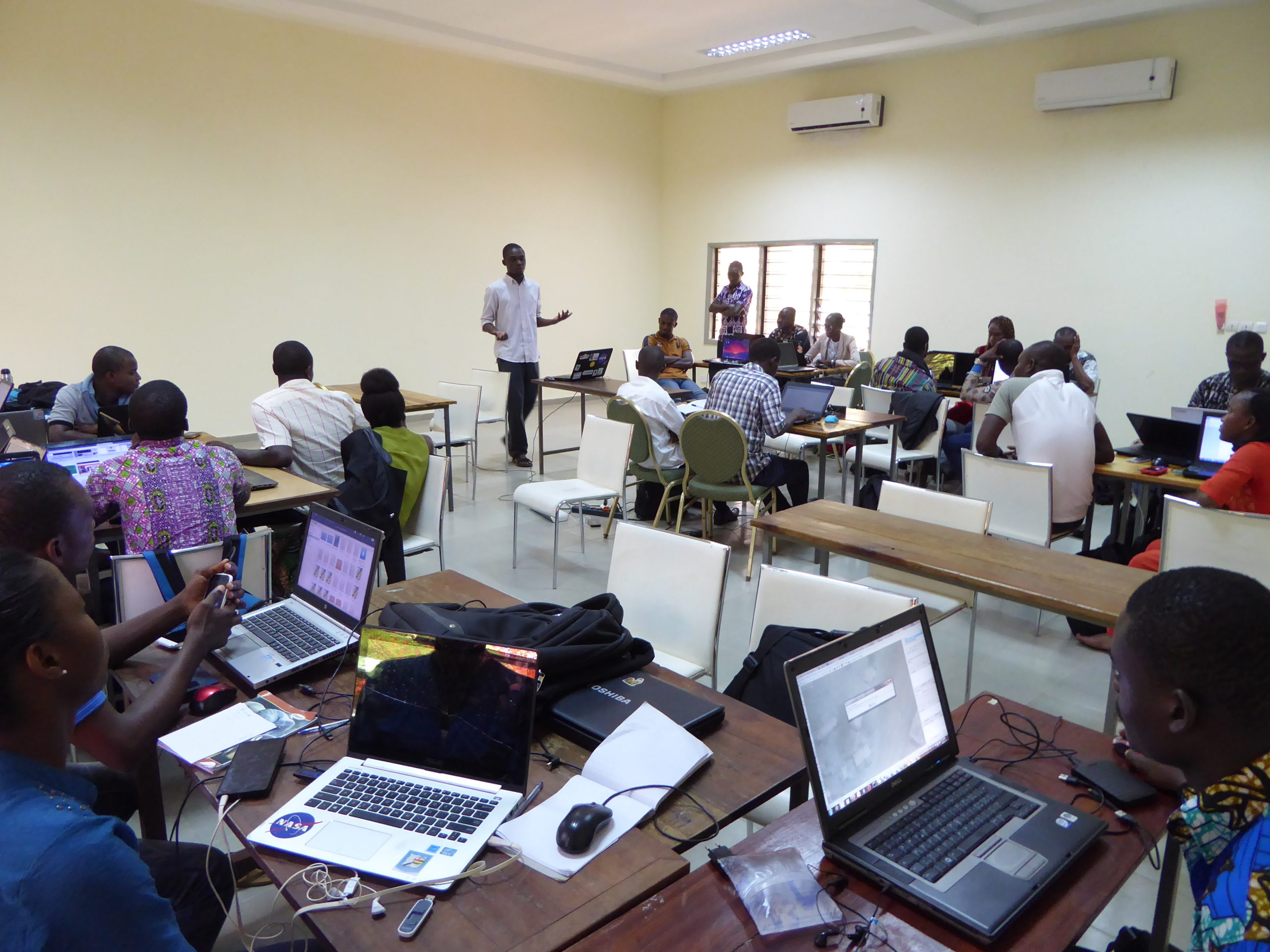
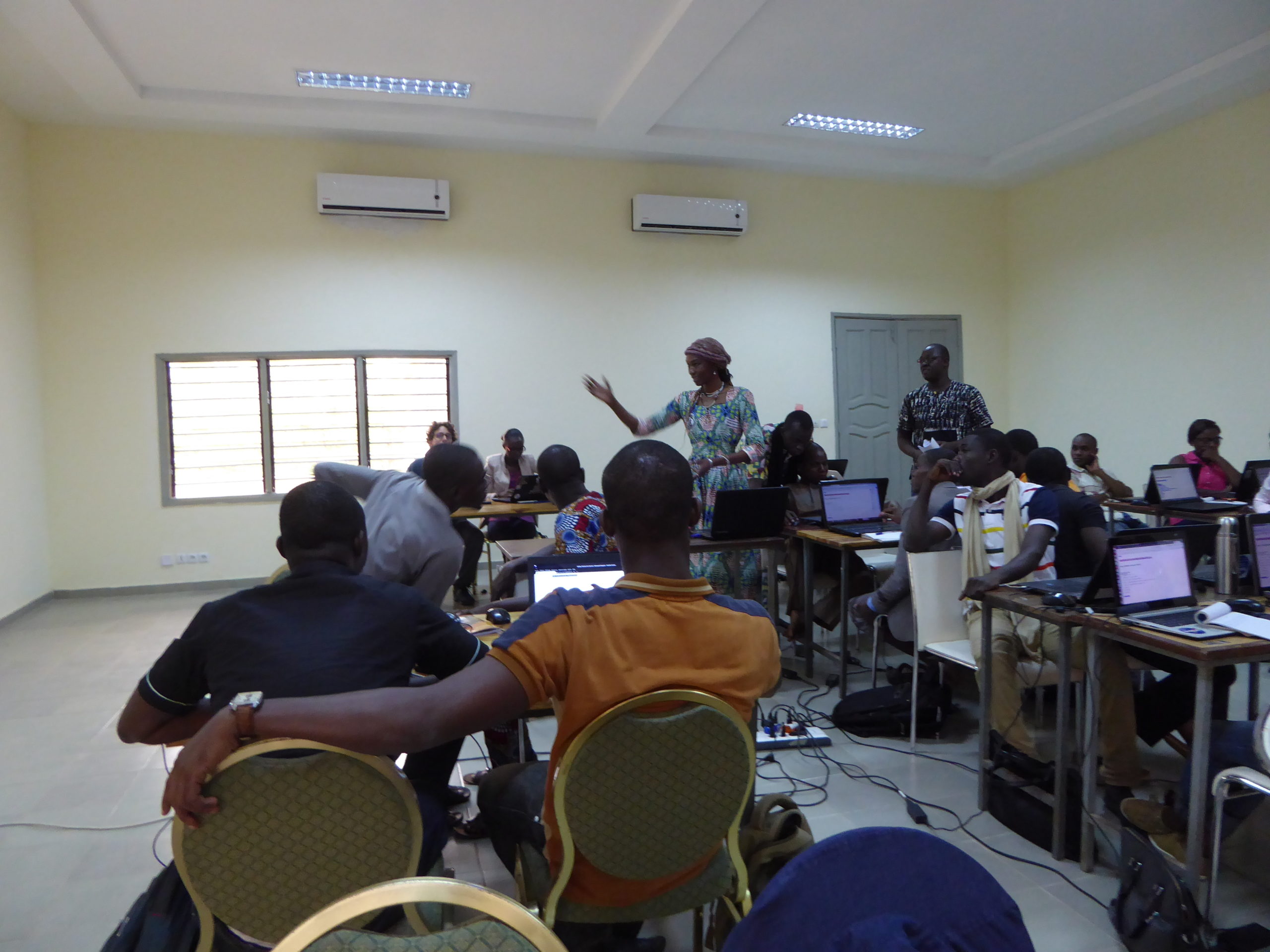
Organizational workshops covering communication, technical documentation, economic structuring, and needs assessment
The organizational workshop program addressed the following topics, which are essential for coordinating the OpenStreetMap project in conjunction with free Geomatics and open data initiatives in Togo and West Africa:
- Information, presentation, and communication techniques related to the OSM project;
- Technical documentation work;
- Project engineering techniques related to the implementation of OSM-based projects in volunteer and economic contexts: consulting, design, implementation, communication, and project reporting;
- Facilitation of group work on organizing individuals and groups active in the OSM project within associative and economic frameworks;
- Activities to identify the needs of OSM communities in carrying out their activities, as well as the needs of stakeholders (academia, the private sector/open-source ICT, government, NGOs, and civil society) in accessing and using Geographic Information (GI) and OSM.
Overall, these workshops helped build and strengthen the cohesion of the group of trainers and facilitators regarding the various aspects of the training and capacity-building program on open-source digital mapping (OSM) and open-source Geomatics (as defined above). The workshop content was thus adapted for use in Togo as well as in various West African countries.
The text has been translated from French by DeepL.com (free version).
Location