Open Digital Mapping and Geomatics Workshops in Bamako
Jun 2017
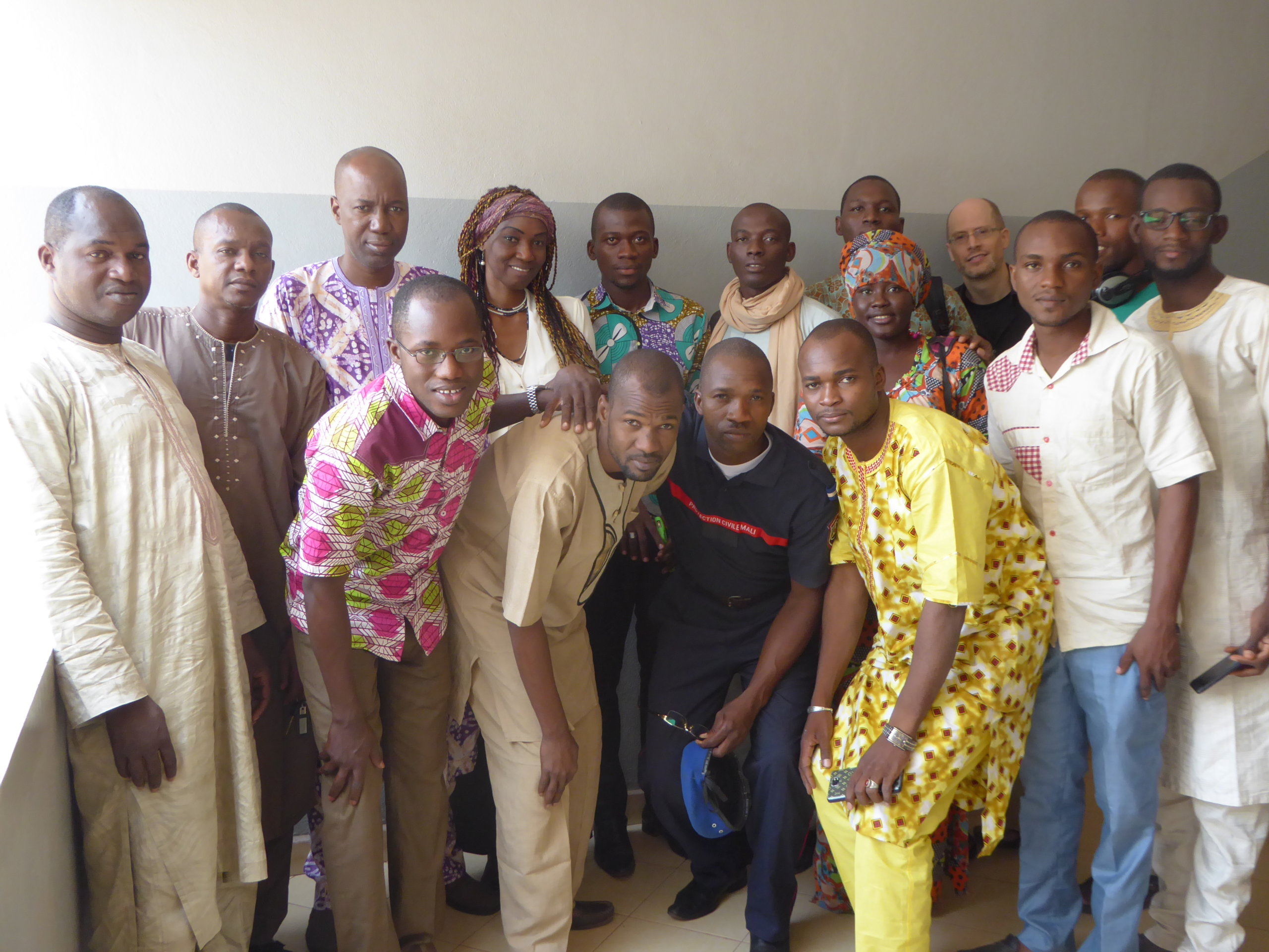
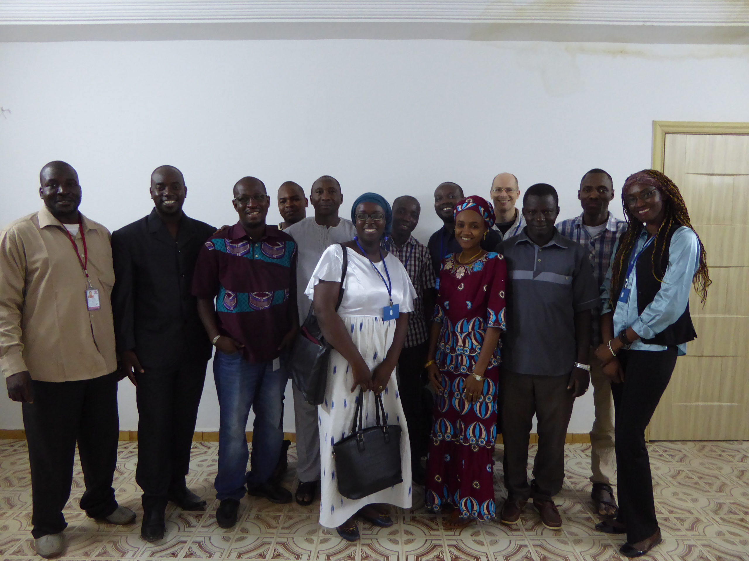
From May 29 to June 9, 2017, the Department of Economic and Digital Francophonie mobilized four experts (from Benin, France, and Mali), including a coordinator from Libres Géographes, to organize outreach and training workshops on OpenStreetMap and open-source Geomatics (QGIS and geOrchestra) in Bamako, Mali. This was the second initiative of its kind, following the one organized in late 2014, which had led to the emergence of an initial core group of Malian OSM contributors, some of whom went on to become co-trainers for this new training initiative three years later. A member of the OSM community in Ghana and another from Guinea were also invited to travel by road to join the training team in order to benefit from this experience and share it with their communities upon their return.
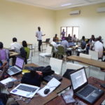
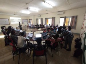
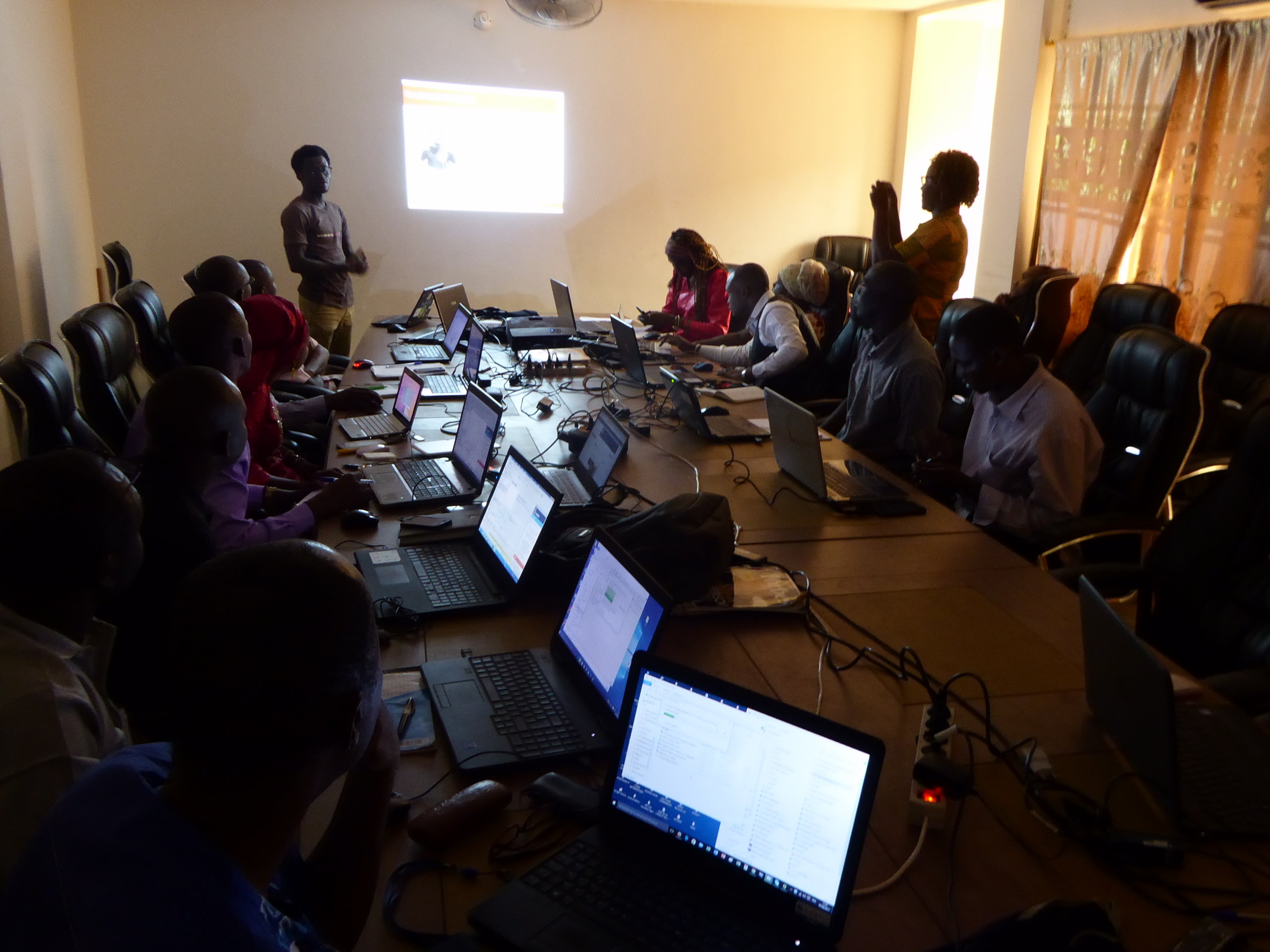
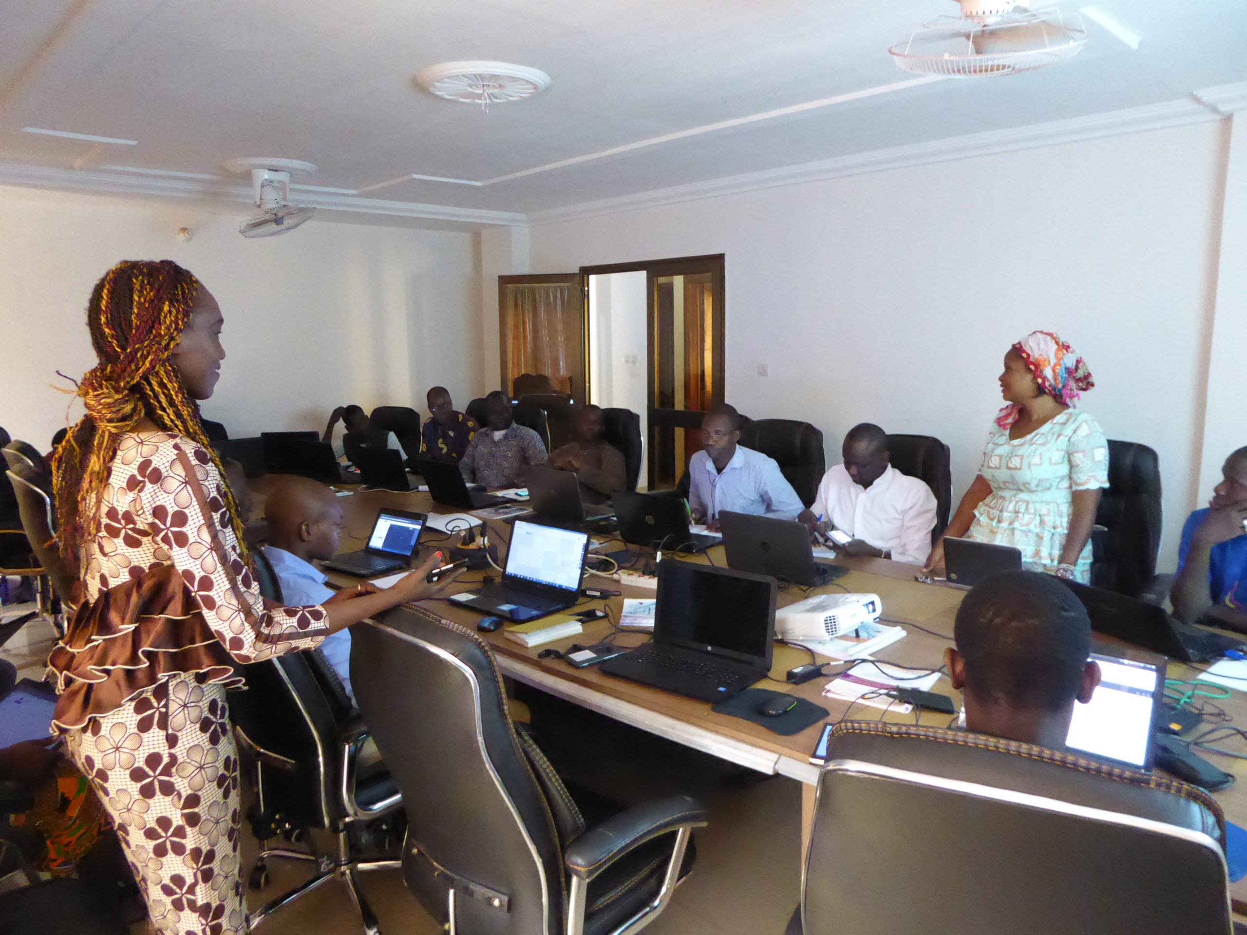
Three OpenStreetMap and open-source Geomatics workshops held in parallel for different audiences
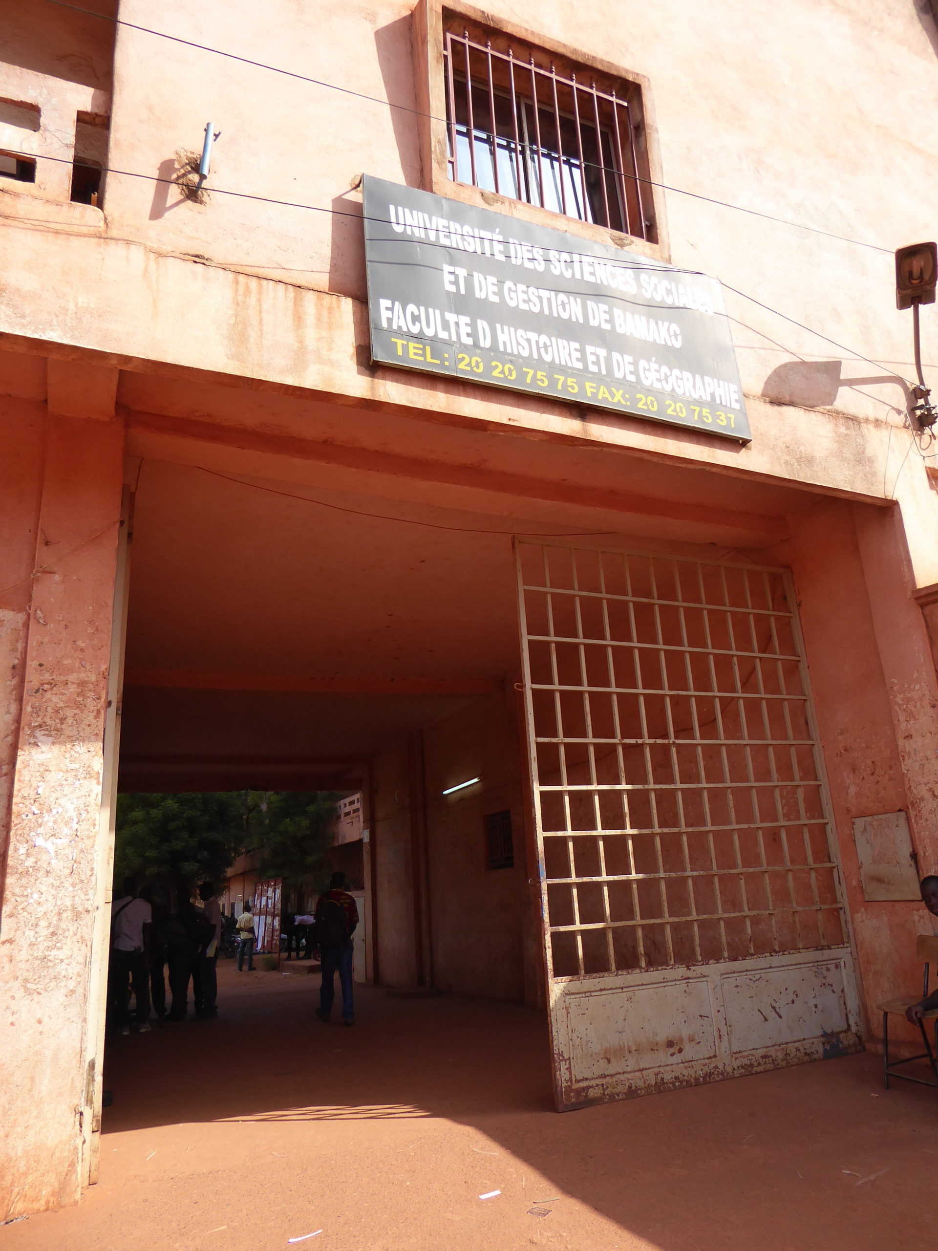
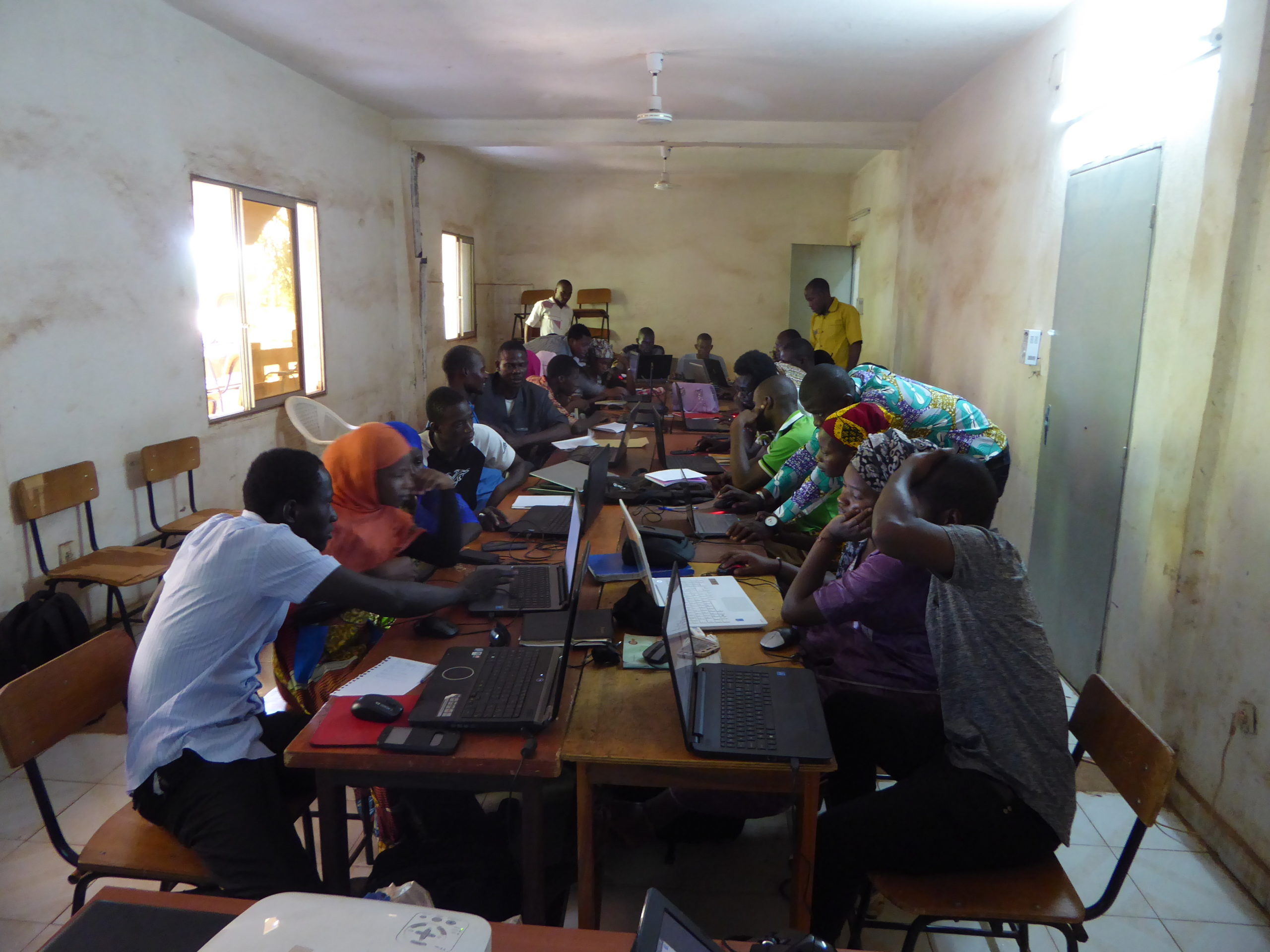
This regional capacity-building program was implemented collaboratively during two parallel workshops held on the campus of the Faculty of History and Geography at the University of Bamako and at the Malian consulting and training organization Feté Impact Development. The participants included 17 Malian undergraduate and graduate students majoring in geography and 13 professionals from various backgrounds: government agencies (National ICT Agency, General Directorate of Civil Protection, Mali Geographic Institute, Agrinorme), the private sector (Geomatics organizations in Mali), interest groups (bloggers), and individuals working in development aid and humanitarian action (Mali Red Cross, Action Against Hunger, World Food Programme, MINUSMA).
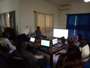
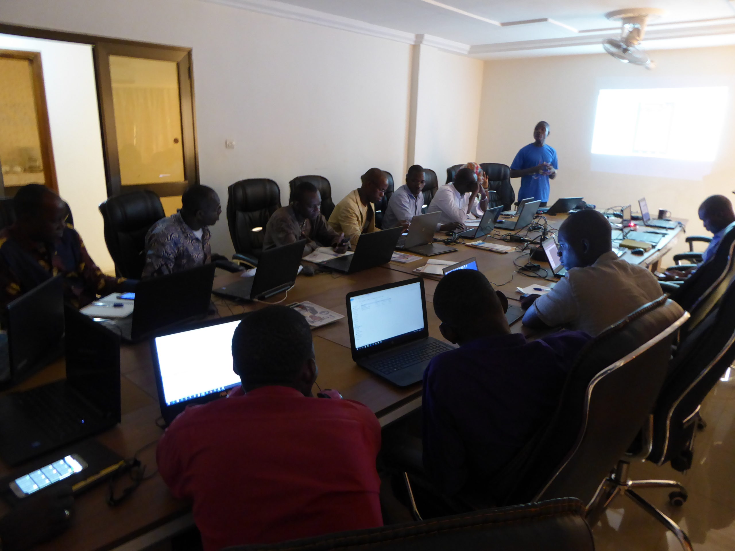
In addition, a two-day intensive workshop on specific topics was held at UNOCHA’s offices for 12 members of the Geomatics working group of humanitarian actors in Mali (UNOCHA, UNHCR, FAO, Mercy Corps, Catholic Relief Services, World Vision, Solidarité International, and Terre des hommes). This workshop enabled them to gain a thorough understanding of the online technical communities ready to provide voluntary humanitarian assistance, the OpenStreetMap ecosystem, its main tools for contributing and reusing data, and how to engage with OSM communities in crisis contexts.
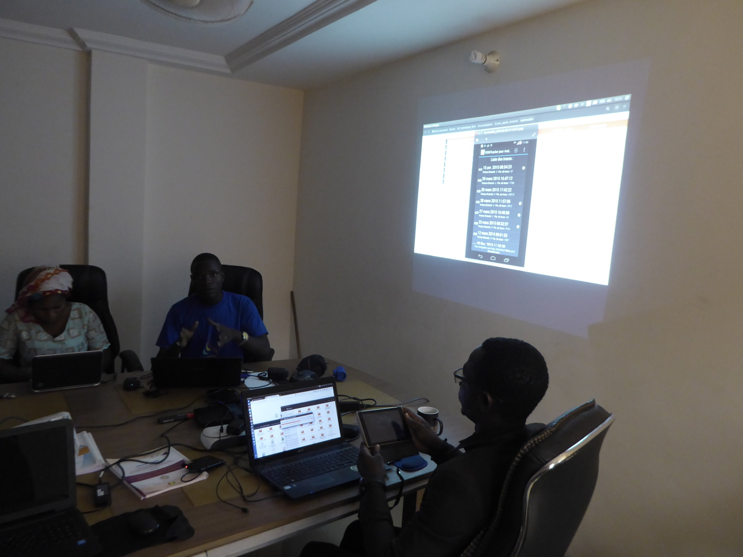
Internal team-building workshops for the program staff in the evenings and on weekends
The four project experts (from Mali, Benin, and France), along with the International Francophonie Volunteer from Togo (in charge of OSM activities in Mali in 2017), were assisted by six individuals actively involved in leading the OSM project in Mali, Ghana, Guinea, and Burkina Faso, who were welcomed as paid volunteers and shared living quarters in the Baco-Djicoroni neighborhood. In addition to the scheduled workshops, during late afternoons or evenings, these volunteer facilitators were able to participate in internal training sessions on certain recent or complex tools within the OSM ecosystem, such as Mapillary, InaSAFE or MapContrib.
Workshops contributing to the creation of open data on a humanitarian zone in Mali
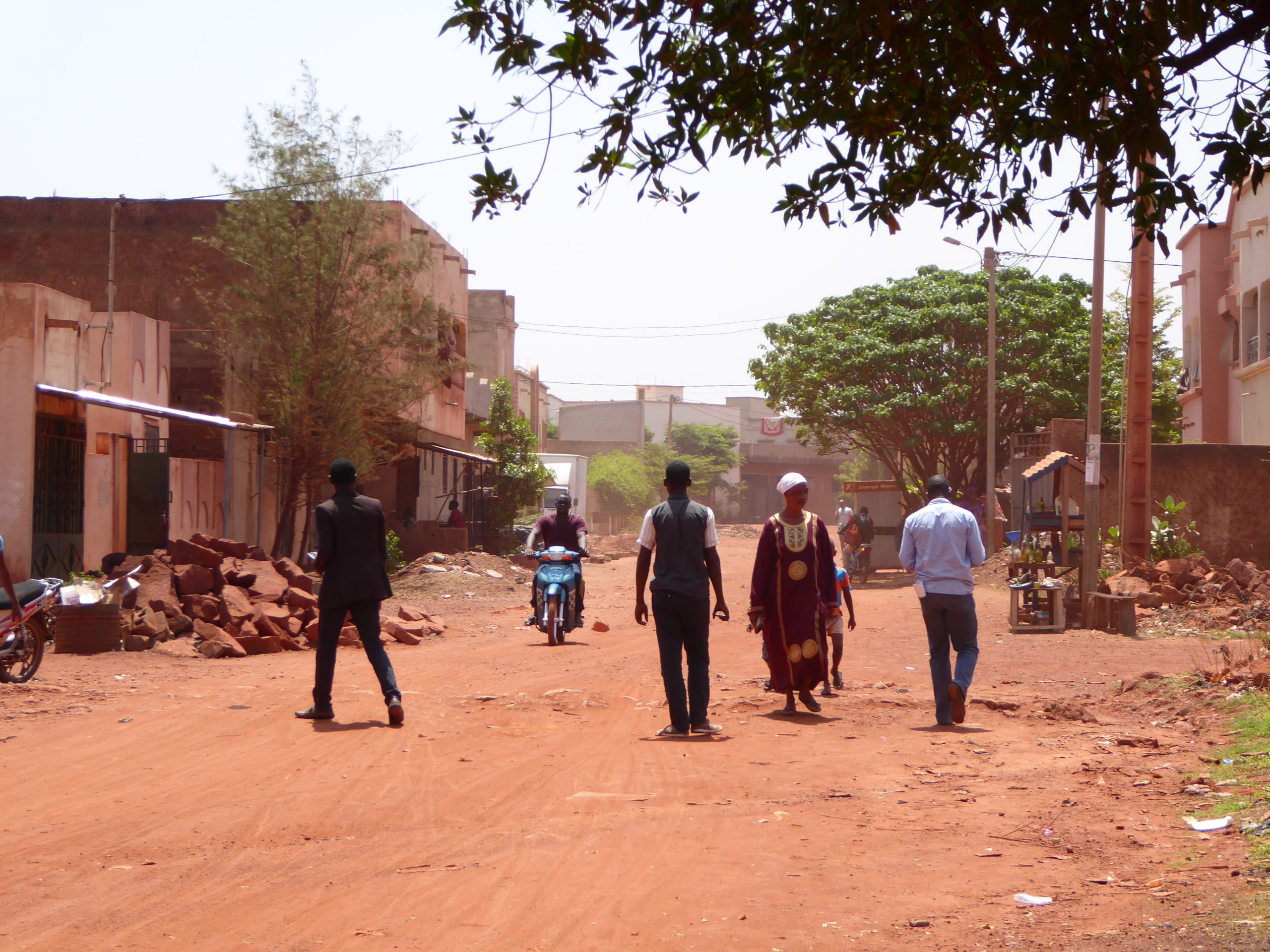
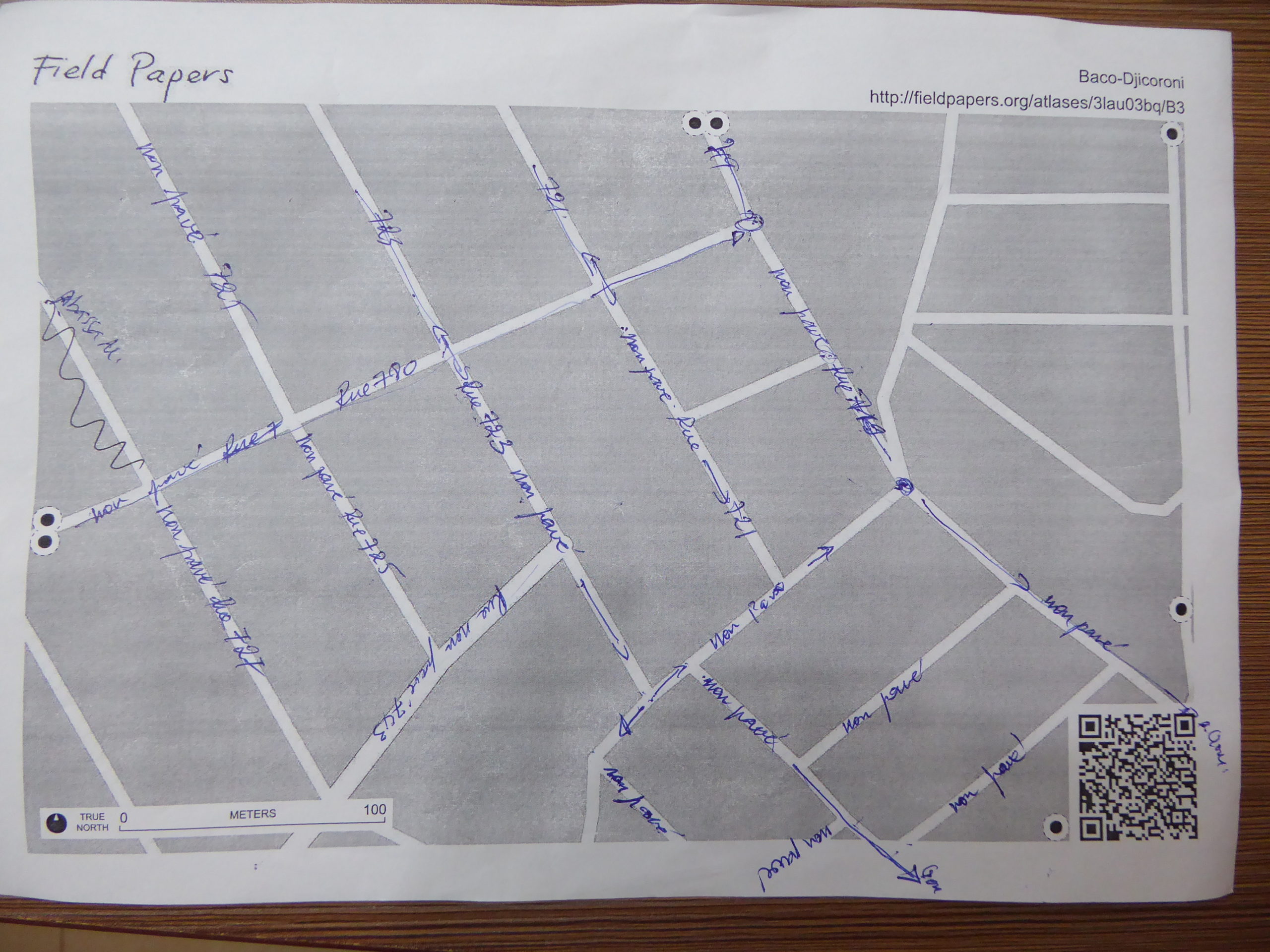
The team of trainers led this program of learning activities on the production and reuse of open geographic data, using Markala – a medium-sized town north of Ségou that had been previously identified by the Geomatics working group of humanitarian actors in Mali – as a case study. Previously mapped only very incompletely in OpenStreetMap, Markala was digitized from satellite imagery down to the individual buildings and walls during the various workshops.
The data produced was then used as an issue layer during training on the InaSAFE software, which enables the generation of building impact scenarios, the estimation of the affected population, and the determination of their minimum needs based on SPHERE indicators. The workflow associated with this specific case demonstrated to all participants the full value of contributing to a free digital commons such as OpenStreetMap.
The text has been translated from French by DeepL.com (free version).
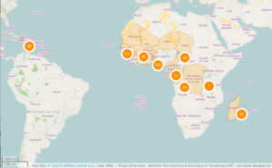
Location