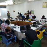
Training workshops on the technical and organizational aspects of implementing OpenStreetMap and open-source geomatics activities in Lomé
Sep 2019
Continuing Capacity Building in Open Geomatics Within a Growing Francophone Sub-Saharan African Community
This regional train-the-trainer workshop builds on the capacity-building and documentation efforts carried out since 2013 in this field by the OIF in cooperation with experts from the association Les Libres Géographes (LLg) and with the support of members of the Projet EOF association as well as West African members of the OSM project organized into informal groups or associations.
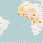
The trainer-of-trainers workshop in Lomé was designed for a homogeneous group of 17 advanced-level participants, the majority of whom had taken part as learners or facilitators in the 2019 capacity-building initiatives at Mauritania, in the Republic of the Congo, and in Madagascar – also organized by the OIF-DFEN – the COhéSIoN (funded by the ANR – the French National Research Agency) on open science and open-source geomatics applied to health geography, as well as the LLg support mission for the project TrypaNO!1 led by the IRD and Guinea’s National Program to Combat African Human Trypanosomiasis (PNLTHA), which involved members of the OSM project in Guinea. It brought together active members of the OSM communities in Madagascar and the DRC, who joined the communities that had benefited from previous train-the-trainer initiatives (Benin, Burkina Faso, Côte d’Ivoire, Guinea, Mali, Niger, and Togo).
A collective session to define training needs was held among the participants to collaboratively develop a program focusing on organizational aspects as well as knowledge related to OSM project governance (key practices and documents from the OpenStreetMap Foundation and its local chapters) deemed most necessary for carrying out OSM, Open Data, and Free GIS initiatives, particularly regarding technical aspects. The resulting program alternated daily between sessions on technical topics and others dedicated to organizational matters or related to the governance of the OpenStreetMap project.
A shared living experience, an impact for the future
These connections between the various initiatives supporting the growth of the OSM project, free geomatics, and open data facilitate the workshops’ work and suggest a significant impact, particularly for the outreach activities that will be implemented in this field in Africa during the second half of 2019 by the OSM outreach groups in those countries, the Projet EOF association with support from the OIF/DFEN, as well as other groups (some of which are for-profit), whose members include some of the beneficiaries of this 2019 Lomé initiative. In this regard, the Lomé workshops will have served as adequate preparation for the facilitators and junior trainers who will work on implementing these future initiatives.
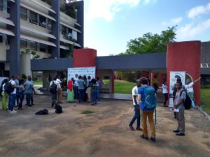
Beyond that, these workshops also provide an opportunity for all participants to spend time together, sharing their past experiences and exploring ways to develop projects collaboratively. The University of Lomé campus, chosen once again this year to host these workshops, contributes to the success of these two weeks with its tree-lined setting in the heart of the Togolese capital, its accommodation facilities, and the proximity of its worksites (Village du Bénin, Campus Numérique Francophone), which eliminate the need for travel that is always costly in terms of time and energy.
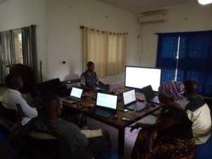
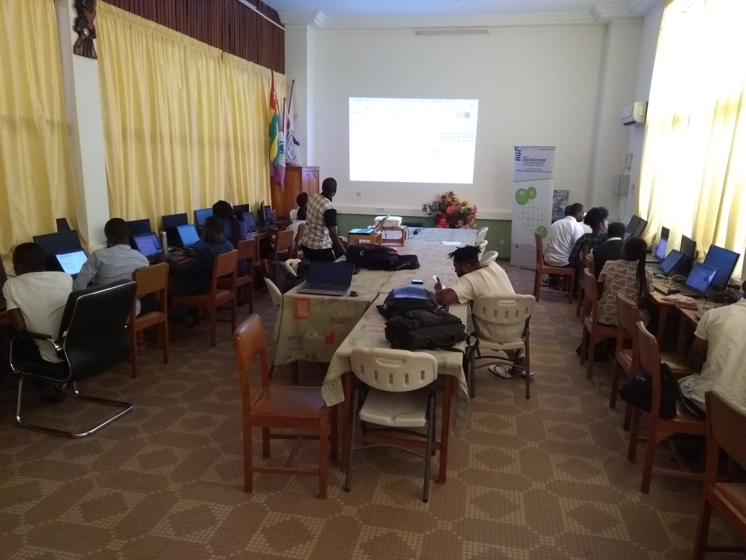
A nine-day organizational and governance workshop on implementing the OSM project within both volunteer and economic frameworks
Thus, the organizational and governance workshop sessions were held daily (totaling 9 of the workshop’s 12 days), covering the following aspects necessary for coordinating the OpenStreetMap project, in conjunction with free geomatics and open data initiatives in Togo and Africa:
-
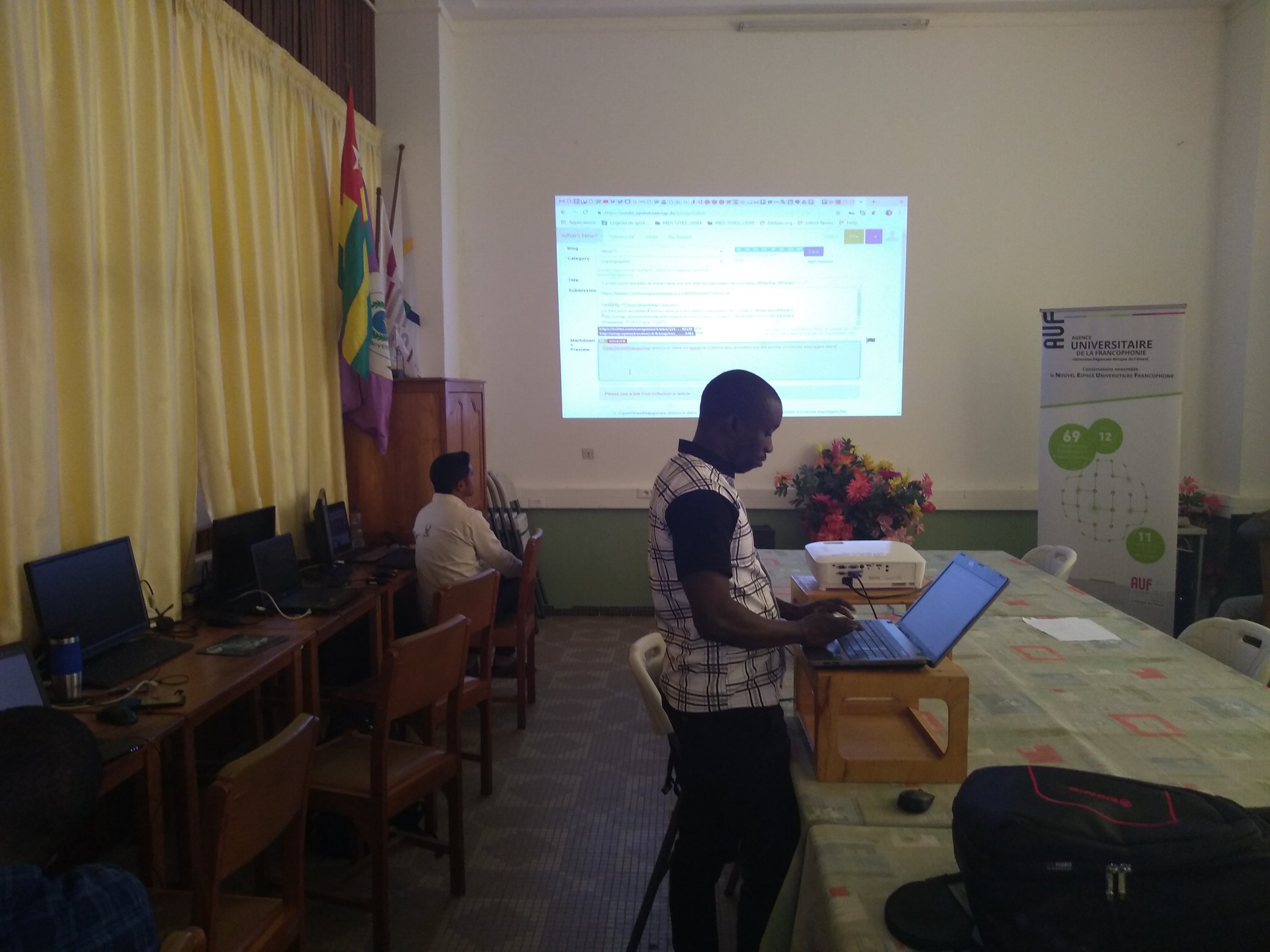
Information, presentation, and communication techniques related to the OSM project, combined with documentation work;
-
Facilitation of group work on organizing individuals and groups active in the OSM project at the community level (OSM mapping collectives), the organizational level (OSM Foundation: global body and local chapters), and the economic level;
-
Project management techniques related to the implementation of work plans or projects that use OSM in whole or in part within volunteer and economic frameworks: drafting individual or team resumes, activity portfolios, consulting, implementation, communication, and reports (technical and financial accountability and results-based management – RBM) and reporting on projects or activities;
-
Joint identification of partner and funding sources, supplemented where appropriate by an analysis of the grant application formats then known to the participants gathered in Lomé;
-
Activities to identify and address the needs experienced by OSM communities in West Africa in carrying out their activities and engaging with stakeholders (academia, the private sector/open-source ICT, government, NGOs, and civil society), as well as in accessing and using Geographic Information (GI) and OSM;
-
Summary of the Lomé workshop sessions and development of joint activity programs to be implemented individually or collectively by various national OSM groups with the support of members of the Projet EOF association and Libres Géographes (LLg), particularly regarding the participation of French-speaking African OSM contributors and the visibility of their achievements and working methods at OpenStreetMap community of practice conferences – State of the Map (SotM) in Heidelberg (SotM World) and Grand Bassam (SotM Africa) – and open data applied to integrated risk management – the “Understanding Risk (UR) West and Central Africa” conference in Abidjan.
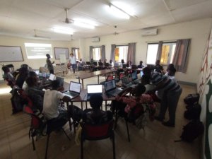
A three-day technical workshop focused on advanced uses of OSM mapping and reuse via IDS and web maps
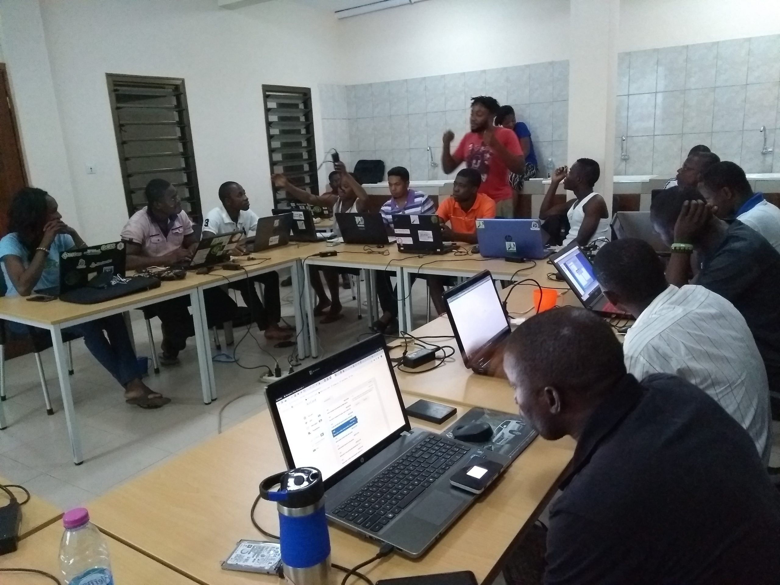
Work dedicated to deepening the skills needed for the technical aspects of coordinating the OpenStreetMap project in conjunction with free geomatics and open data initiatives in Togo and West Africa was also conducted on a daily basis (totaling 3 days out of the 12-day workshop). This work drew on concrete use cases that arose within the framework of the CohéSIoN project (“COhéSIoN: Socio-Territorial Constructions of Inequalities: Territorial Assessment and Decision Support”) carried out in cooperation with the LLg association and the French National Research Institute for Development (IRD), its national partners, and mappers from the OSM community in Côte d’Ivoire. It covered the following topics:
-
Topic: “Creation and validation of OSM data through the optimized use of all remote mapping techniques and tools based on satellite imagery and field mapping,” using methods, tools, and techniques that prioritize data quality and verification; this theme has been expanded to include a session dedicated to the advanced features of the KoBoToolbox web software suite and mobile applications;
-
Theme: “Utilization, visualization, and sharing of open geographic data through the geOrchestra Spatial Data Infrastructure (SDI) for OSM outreach programs and open geomatics”; this theme was supplemented with a session dedicated to the advanced data visualization features of the uMap web tool.
The text has been translated from French by DeepL.com (free version).
Location